Before getting started today, I would like to apologize to those of you who may have tried to access seekingtimberline.com lately. It seems that unbeknownst to me the website has been down for approximately a week. I have exactly zero knowledge when it comes to the HTTP and am completely reliant on my web hosting company. Fortunately, they are very responsive and were able to straighten things out quickly once I noticed the problem. Thank you to the folks at Bluehost.
Anywho, on to today’s topic…
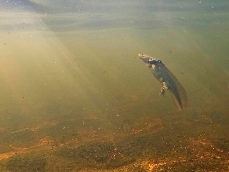
Here’s a fun fact – and what is the point of the Internet if not to share fun facts – the state amphibian of Colorado is the Western Tiger Salamander. The Tiger Salamander lives near lakes and streams throughout the state. In its pre-metamorphosis (i.e., tadpole) stage it sports a tail, lives exclusively in water and is commonly known as a waterdog. See photo above.
Interestingly, depending on a number of influences, including the local predator situation and environmental factors such as temperature, some tiger salamanders choose to remain in their aquatic, waterdog phase their entire lives. They basically refuse to grow up. Sounds like some people I’ve known.
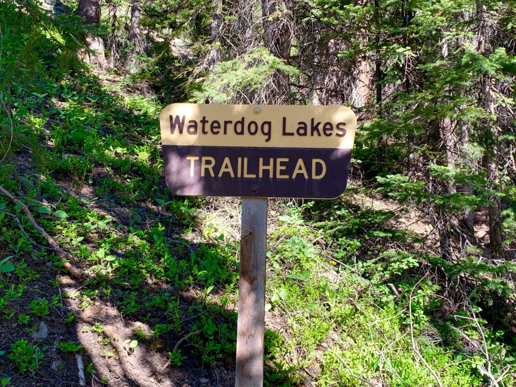
What does this have to do with anything we’re currently doing in Colorado? Well, in my recovery from knee surgery, I’ve graduated from physical therapy and have been riding my bike and doing short hikes on the trails near the house. It was time for something a little more challenging. Ms. Seeking and I set out for a day hike in the nearby mountains. In the basin just north of the Monarch ski area is a popular five-mile out-and-back hike to what are called the Waterdog Lakes, presumably named for the aforementioned critter. We had never been to this specific basin. It was a chance to see some new scenery while testing my knee on my continuing road (trail?) to recovery.
The trailhead for Waterdog Lakes is on highway 50 about a mile and a half north of the Monarch ski area. Parking is on the east side of the highway; the trail is on the west side. The most dangerous part of the hike is darting across three lanes of highway traffic to get from your car to the trailhead. Especially daunting for me because at the moment I don’t currently possess full-on darting speed.
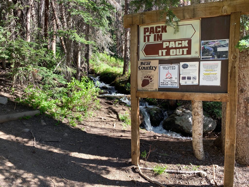
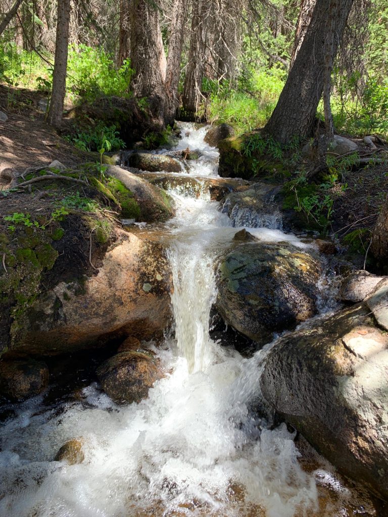
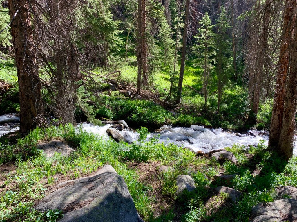
Once across the highway we were greeted by a steep trail running up the hill through thick forest next to a picturesque cascade. The roar of the water helped to partially drown out the traffic noise below as we headed up the hill.
The trail continued up the hill for two steep, rocky miles. At the top, just before the first lake we encountered the remains of a large snowdrift across the trail.

It wasn’t difficult to cross and as we did, we came to the first Waterdog Lake.
We worked our way north and then west around the first lake taking in the alpine views.
Over the rocks and up the hill to the second lake.

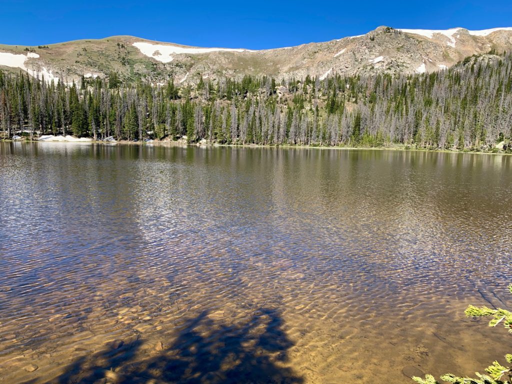
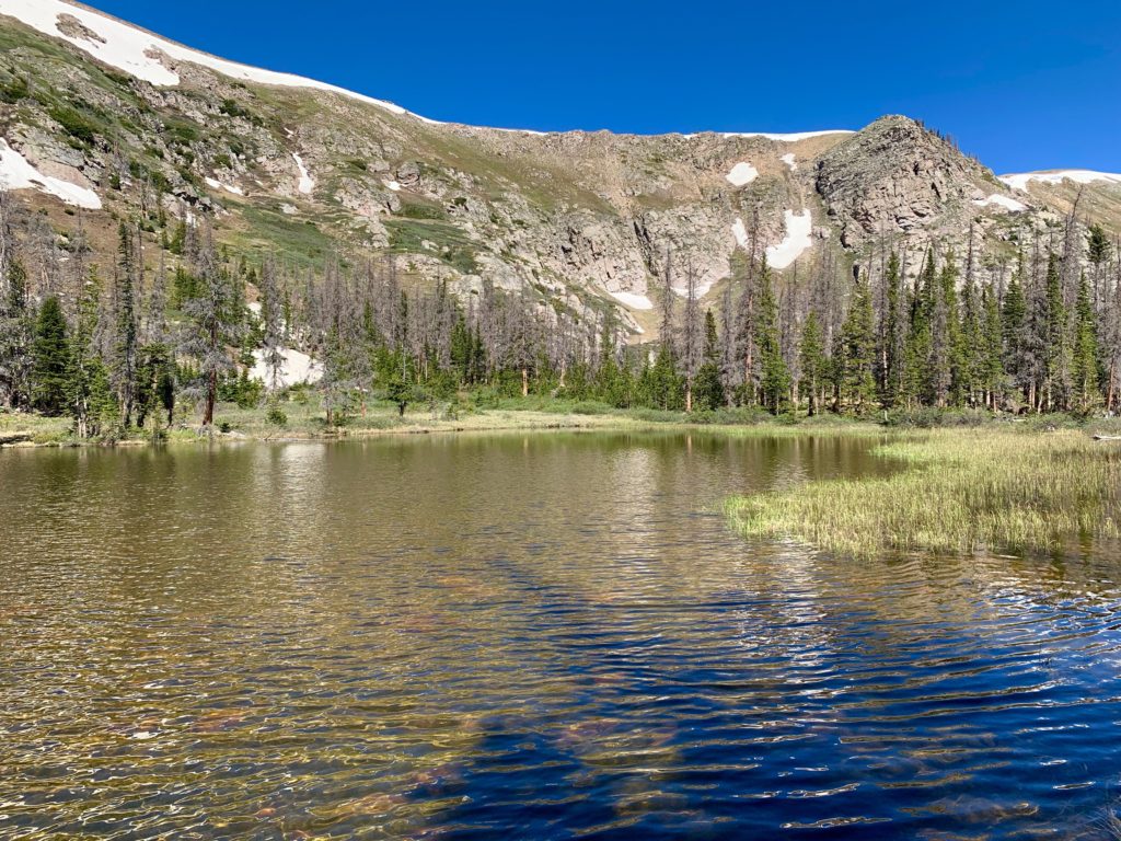
A topo map of the basin shows there are four Waterdog Lakes. Three of them are close together and connected by the trail we were on. The fourth one is off by itself, a few hundred feet northeast and uphill from the first lake. What was surprising was after going around the first lake and then heading west we came across a small lake between the first and what we were expecting to be the second and largest lake. It isn’t on any map but there it was, nestled in the rocks few yards from the large lake.

All I can figure is this bonus lake is an intermittent lake or tarn, that only holds water certain times of the year, similar to the one I encountered on Mt. Antero. It being early summer with plenty of snowmelt the lake was full, a genuine lake in its own right. Pretty cool!
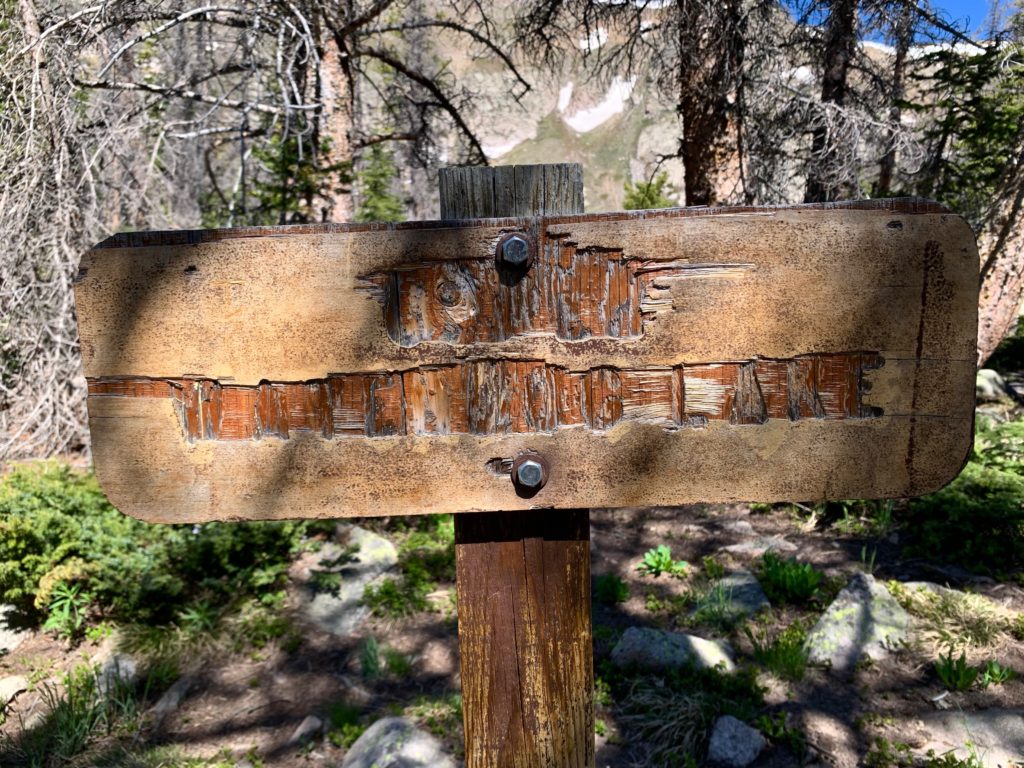
A few steps past the bonus lake we came across this sign, badly in need of replacement.
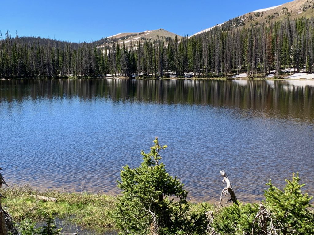
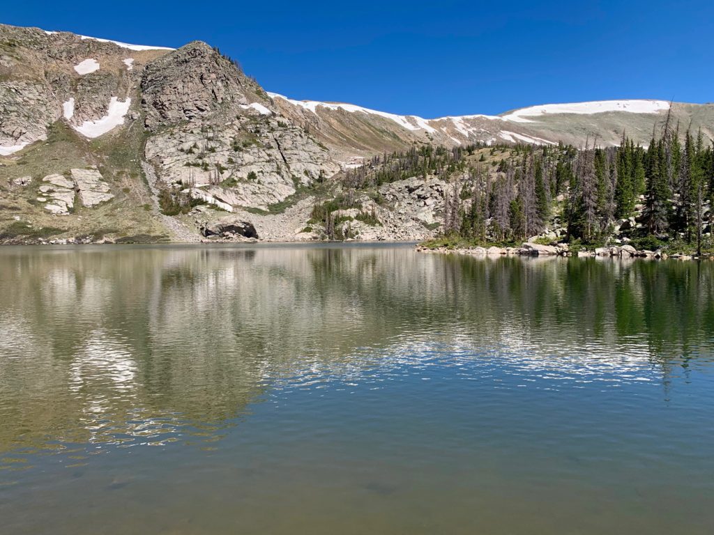
And the third and largest lake, nestled up against the steep face of the Continental Divide.

A hundred yards or so south of the large lake is the fourth and smallest lake.
We didn’t make it up to the actual fourth lake because at this point, we had seen four lakes and I just sort of figured I had mis-read the topo map and was mistaken about the location of that second lake. It wasn’t until we got home and I looked at our GPS track that I realized nature had slipped in the bonus lake for us.
And we didn’t see any waterdogs. Although, there were definitely brook trout in the third lake, easily visible in the clear water. As it turns out waterdogs live in burrows and are mostly nocturnal so the odds of seeing one are slim. Still, it was a nice day out. And the knee? I’m happy to report that after five miles and 1,100 feet of climbing/descending, it felt fine. Halleluiah!
Bring a fishing rod next time and catch some dinner!
Apparently it’s done. As we were heading back down to the car we passed an older gentleman hiking up with a collapsible pole, net and creel who looked prepared to do just that.