On the final day of the avalanche course I took back in January 2023, armed with our newly acquired backcountry knowledge and excited to start exploring, me and my classmates spent a good half hour peppering our instructor Katie for suggestions on places to ski in the area. One of the locations she mentioned was a place called Chalk Creek.
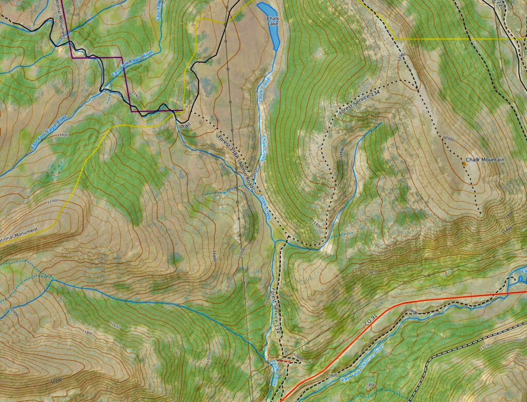
Chalk Creek sits northeast of Leadville, about halfway up Fremont Pass. I made a mental note of it at the time but being the creature of habit that I am, I hadn’t mustered the motivation to actually get in a car and drive up there until this past weekend.
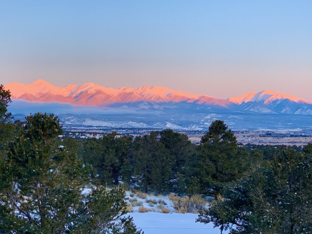
The mountains had received several inches of snow over the past few days and on Sunday the sky cleared and we woke up to a gorgeous, clear morning. In Colorado when you wake up and the view out of your living room window is this, you go skiing.
Even though the Avalanche Information Center said the avalanche risk for the central mountains was “considerable” our instructor had said Chalk Creek contains mostly safe, low-angle terrain. My quick review of the topo map for the area confirmed her statement.
I was ok to ski Chalk Creek alone. But it’s an hour and a half drive from Salida so I figured it would be better to share the windshield time with someone. I texted our neighbor Kevan to see if he wanted to go. Kevan had been to Chalk Creek once previously so I was glad when he said he’d like to join me. I loaded up my gear, swung by Kevan’s house and we were rolling up to Leadville at the I’m-retired-don’t-rush-me hour of 10:00 a.m.
The trailhead for Chalk Creek is just off CO 91 about three miles before the main entrance of the Climax molybdenum mine. The first part of the trail is on unplowed Forest Service Road 134. Besides skiers, Chalk Creek is also a popular spot for snowmobilers, a fact that was evident from the number of F-250s and Dodge Rams with large trailers in the lot when we pulled up.
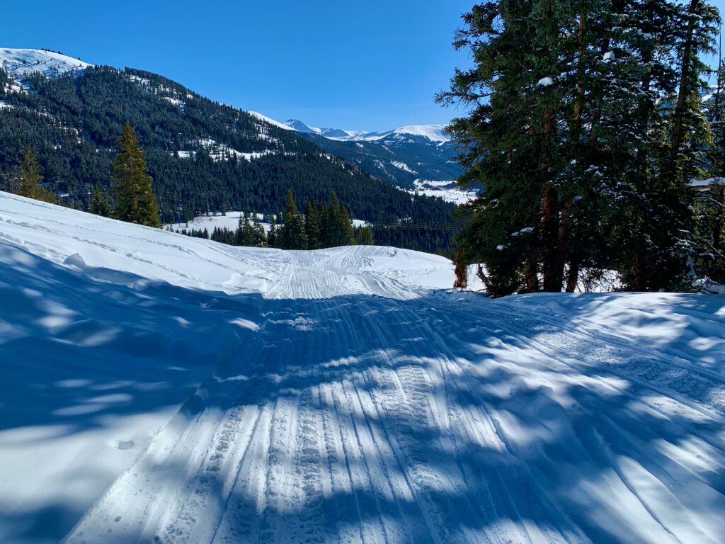
Fortunately, due to our late arrival, all the trailers were empty and the snowmobiles were long gone, probably deep into the backcountry. We only saw one guy who was there to shuttle some customers up to a backcountry hut for an Airbnb visit. Snowmobiles are noisy and smelly but they do make for a well-packed, easy to follow track. We stepped into our skis just off the parking lot and started up the well-defined trail.
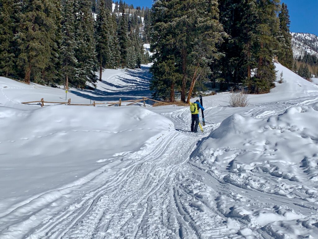
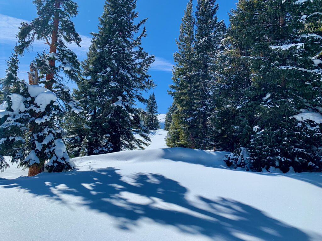
The initial part of the skin up is steep but short. It wasn’t long before we were out of site of the highway and well into the backcountry.
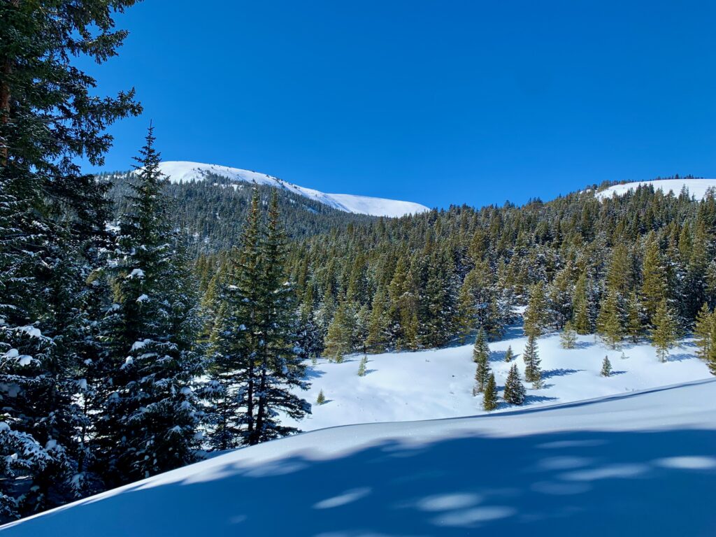
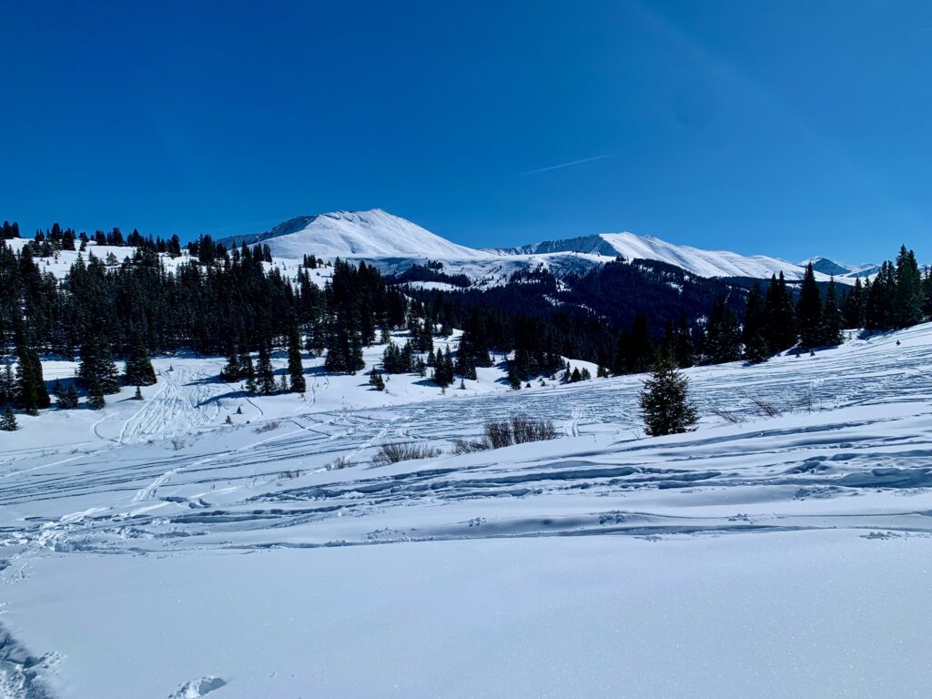
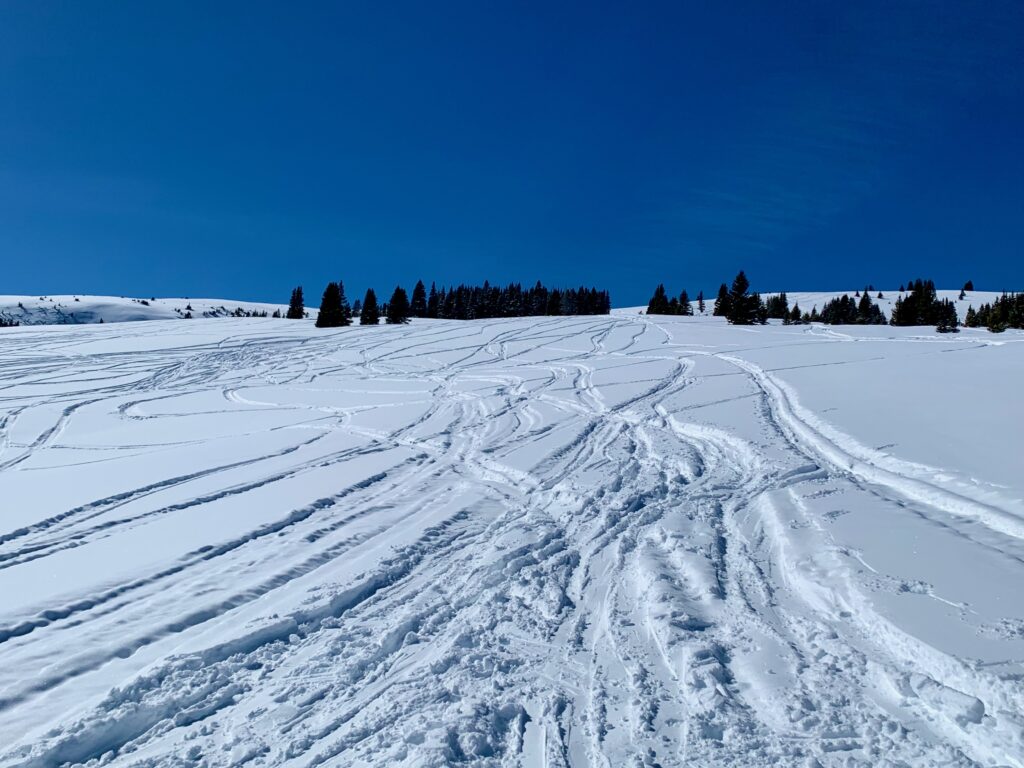
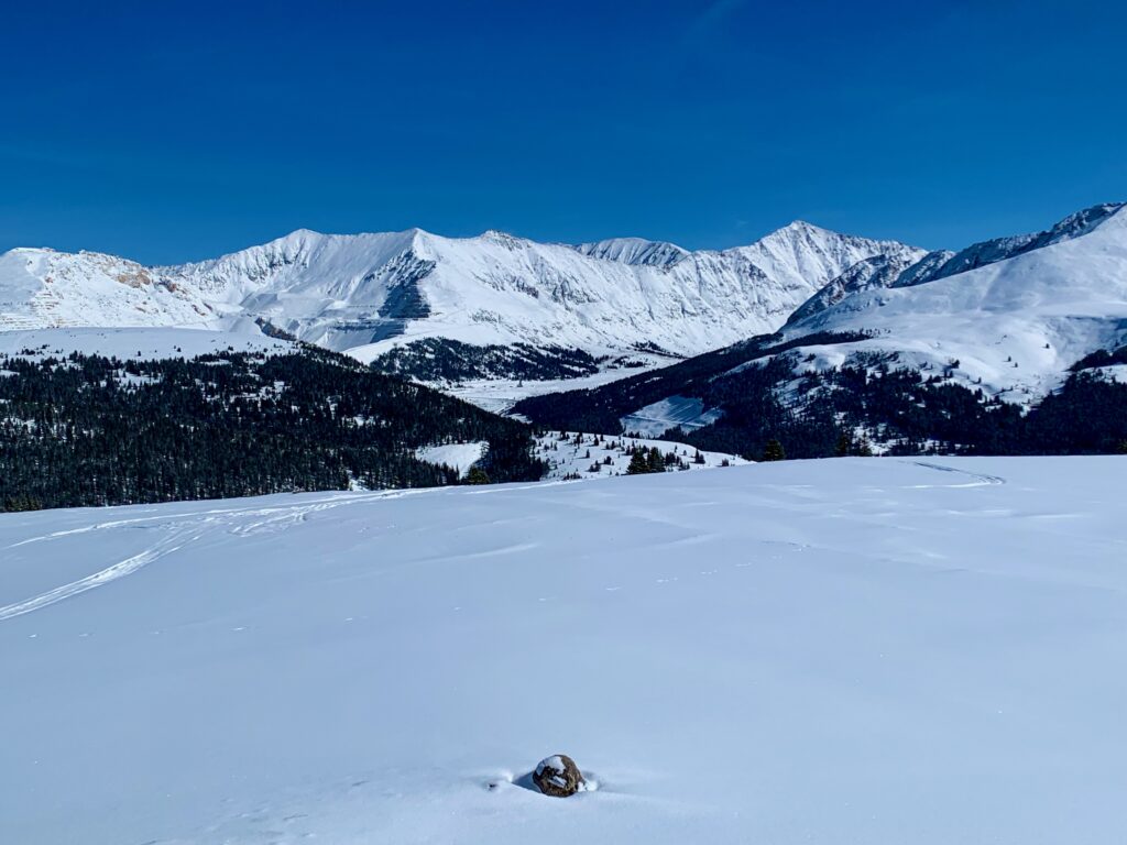
Within a mile we caught our first glimpse of our target slope, obvious from the number of tracks in the snow.
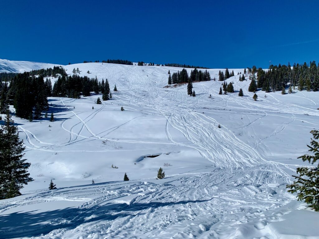
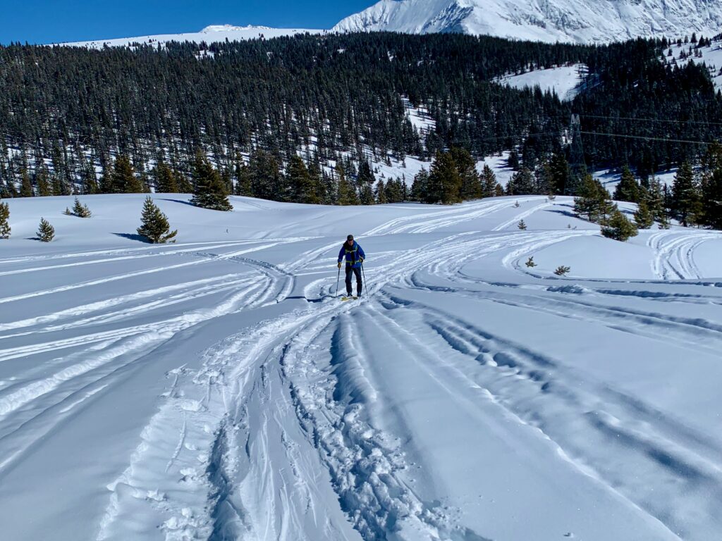
Another half mile or so and we were at the base of the face we wanted to ski. From the number of ski and snowmobile tracks it was clear this was a popular location. Amazingly, though, we saw no other people. We dropped down the bank off the road, crossed Chalk Creek which was buried in snow, and started our skin up the hill.
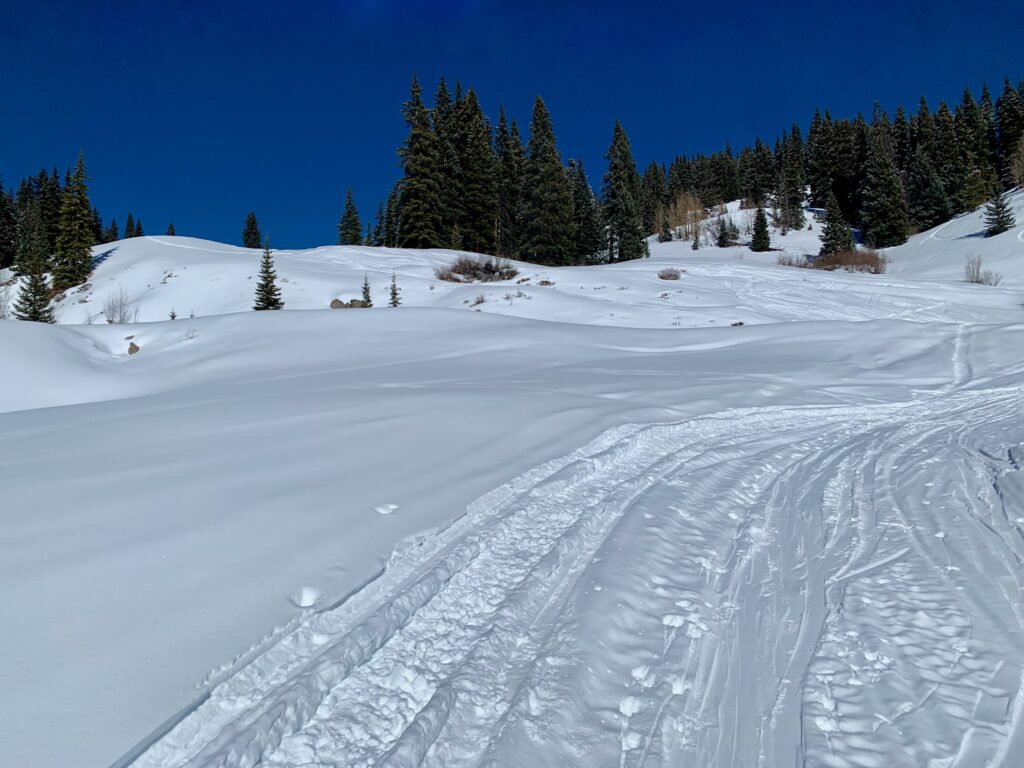
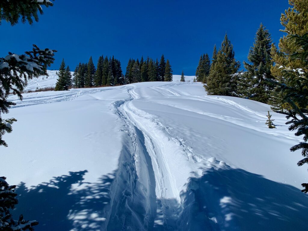
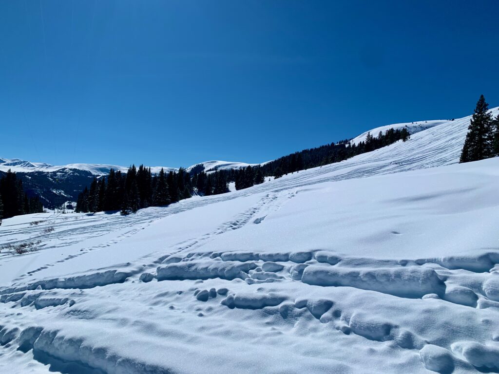
The skin track was well-defined and easy to follow.
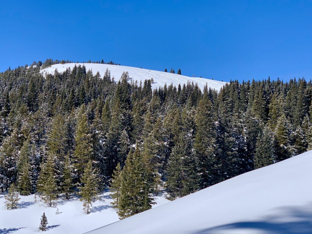
The hill itself was definitely low angle and it alternated from nearly flat to a mellow 20-25% grade all the way up. Like a giant snow-covered staircase.
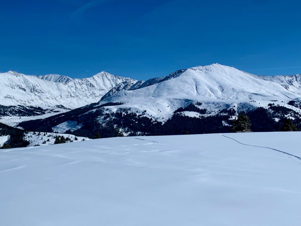
Taking a break to take in the view.
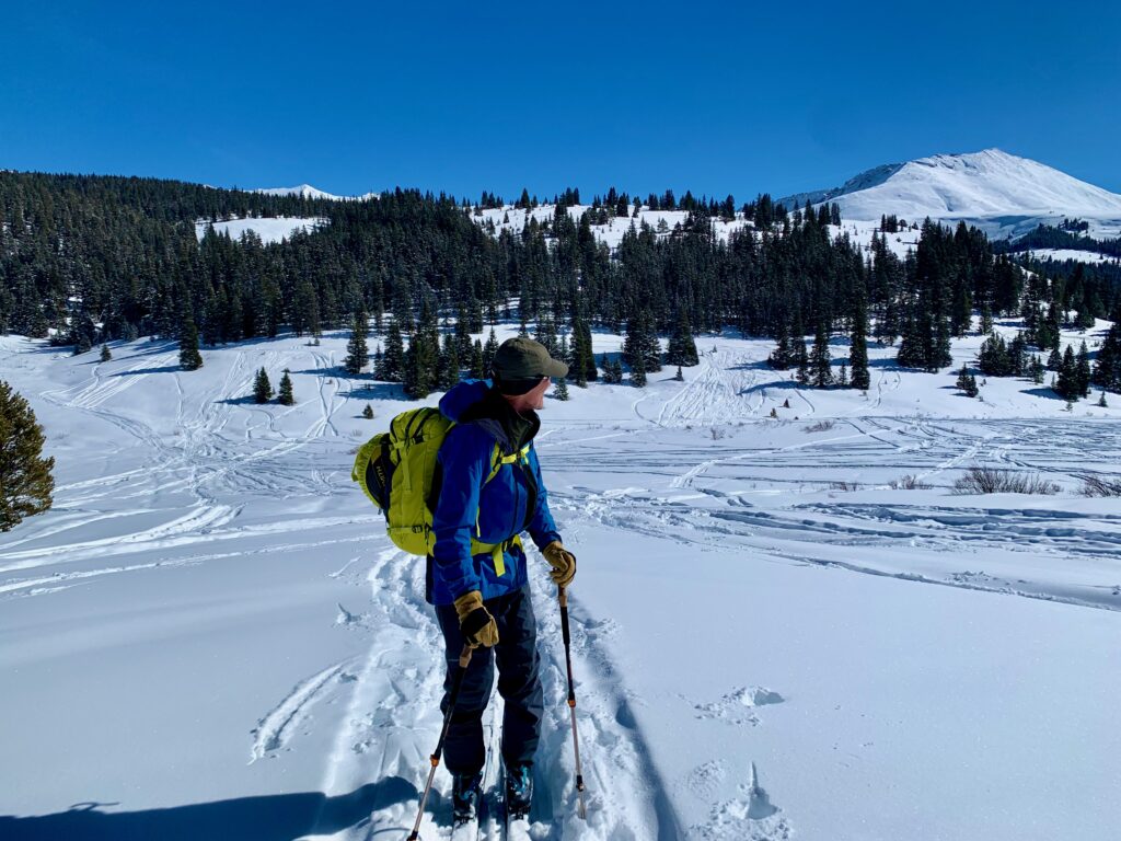
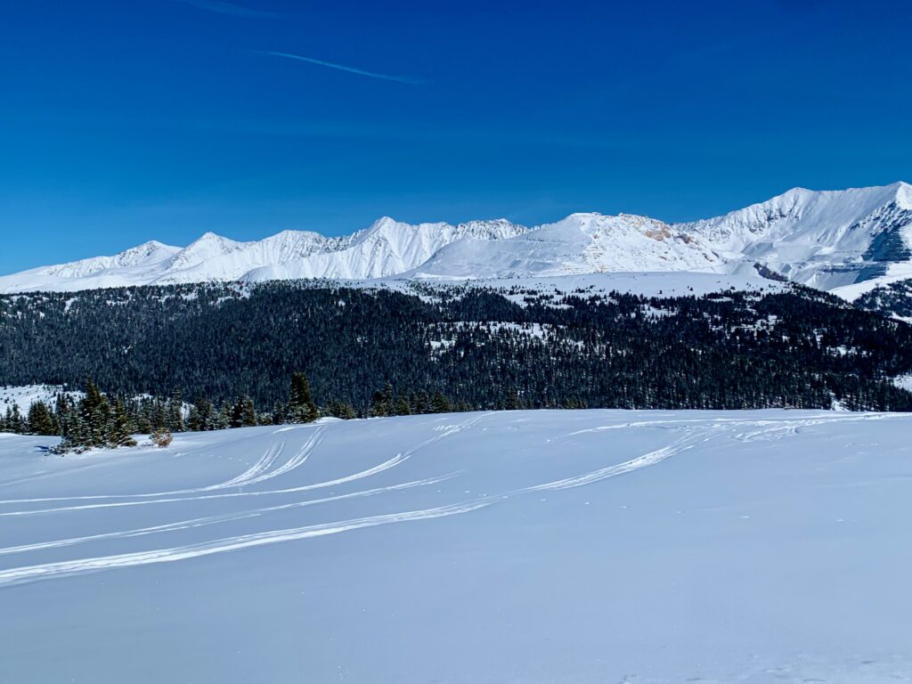
Which is dominated by Mt. Arkansas and the rest of the southern Mosquito Range.
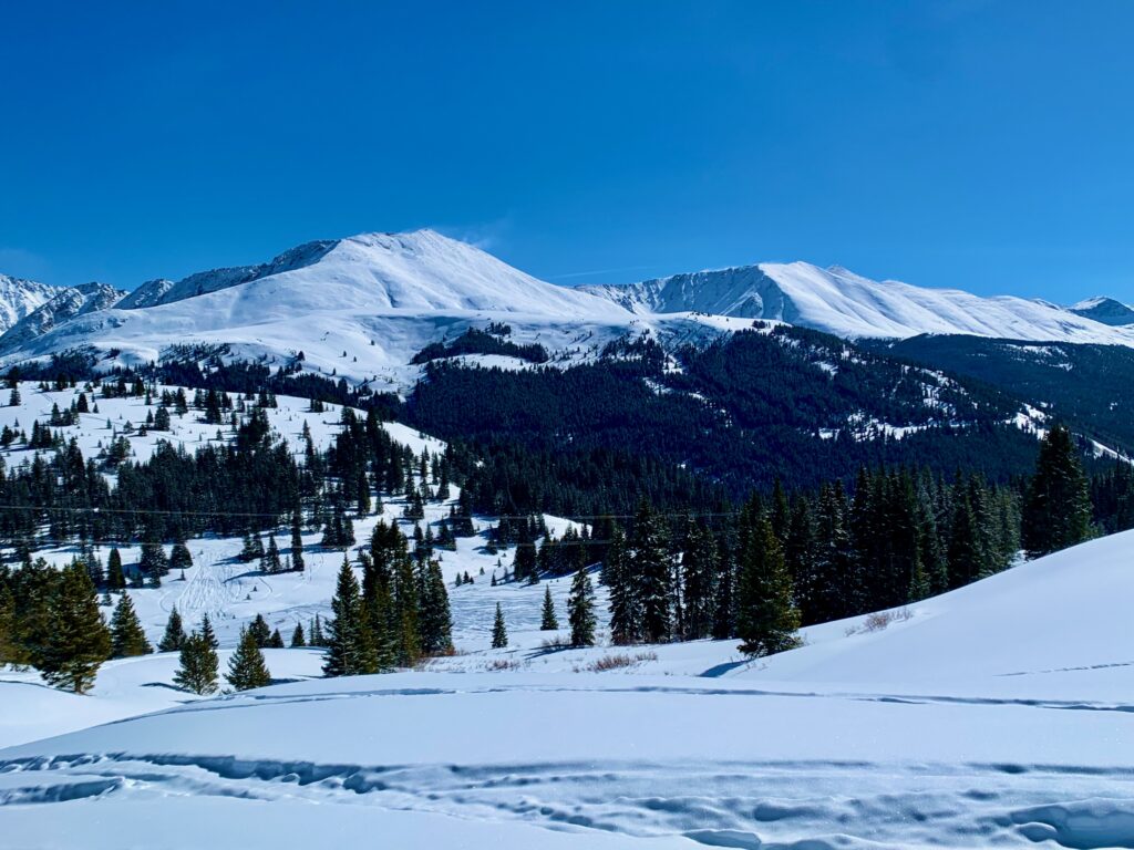
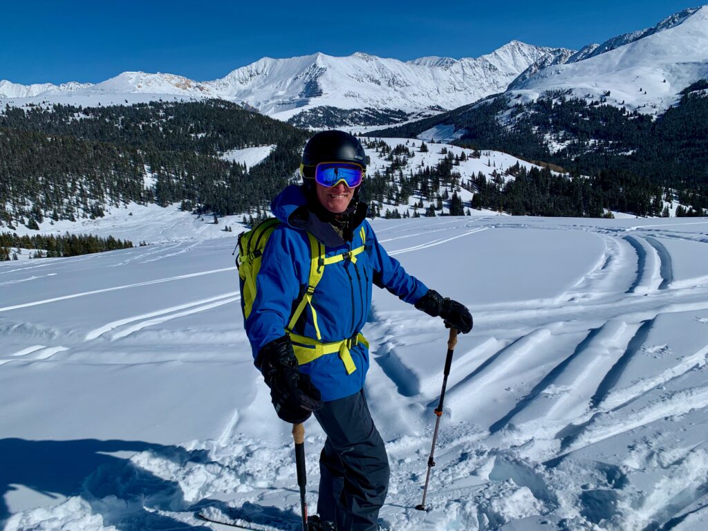
About halfway up.
Skirting around a large stand of pine trees. The trees were at 11,600 feet and Kevan decided that was high enough for him. I wanted to continue on to the top so he said he would start a leisurely transition and wait for me to ski back down.
I climbed around the trees and found another well-defined skin track going up the hill on climbers’ left. The higher I climbed the less tracked the snow became. I began getting excited anticipating the ski down.
A little further up, the skin track I was on merged with another track coming in from climbers’ right. A group of six skiers were heading up this track. They were widely spaced apart and as the trails converged, I gave them a friendly hello and slotted into line behind the first two. We continued up the hill together. At a flat spot on the ridge, the group stopped. Not knowing where they were headed, I started scanning the remainder of the terrain for my route to the summit. Since Kevan was waiting for me, I didn’t want to spend a lot of time chit-chatting with them. But it didn’t take long for the last guy in the line to come up and inform me that there would be no chit-chatting at all.
“Excuse me, but you can’t be here. This is a paid tour.” Not mean or aggressive, but with a clearly emphatic note in his voice.
Surprised by his tone, I replied, “Sorry, my bad. I didn’t know. I just left my buddy down by the trees and was heading to the top on my own. Have a nice day”
Feeling a little sheepish, I left them on the ridge and continued on my way. In retrospect, I guess I should have waited for them all to pass back where the trails merged. But in my experience to date, everyone I’ve met in the backcountry has been super friendly. I thought I was just joining a group of friends. It didn’t occur to me that it might be someone’s business!
At 12,000 feet the skin track turned up the last little steep knob before the summit. The skin track became windblown and faint and there were no ski tracks heading back down the face. As I stepped onto the first bit of this section I realized why. The snow went from powder soft to crunchy hard. Each of my steps would propagate a small crack in the crusty surface of the snow around me. Old, sunbaked wind slab. While a potential avalanche hazard, the slope here was still fairly low angle so it wasn’t a huge risk but at the very least it would be difficult to climb and sucky to ski. I decided call it good right there.
I turned around to start my transition and to take in the downright eye-popping view.
Looking northeast to the Ten Mile Range. Breckenridge is just on the other side of that last little hump on the far left of this photo.
Due east is the Mosquito Range with Bartlett Mountain and McNamee Peak slowly being digested from the outside in by the Climax mine. Covered in snow, the mining scar isn’t quite as sickening.
Fourteener Mt. Democrat and thirteener Mt. Arkansas to the southeast. The Arkansas river starts in the basin between these two peaks.
And a Panorama!
As you can tell from the last few photos, I ended up topping out in a relatively flat area. Had I gone all the way to the summit I would have hit this section with some speed skiing down and it would have been easy to glide across to the next rollover. Without that momentum it took some effort to get going in the deep powder. But once I did, it was a short ski back to where Kevan was waiting.
I shared my story about inadvertently crashing the tour group. We snapped a couple more photos and skied the rest of the way down together. Despite all of the old tracks on the slope we managed to find some sweet, mostly untracked powder.
Back on the road. It was downhill all the way back to the parking lot but the chunky snow and undulating track created by the snowmobiles made it an interesting ski back to the car.
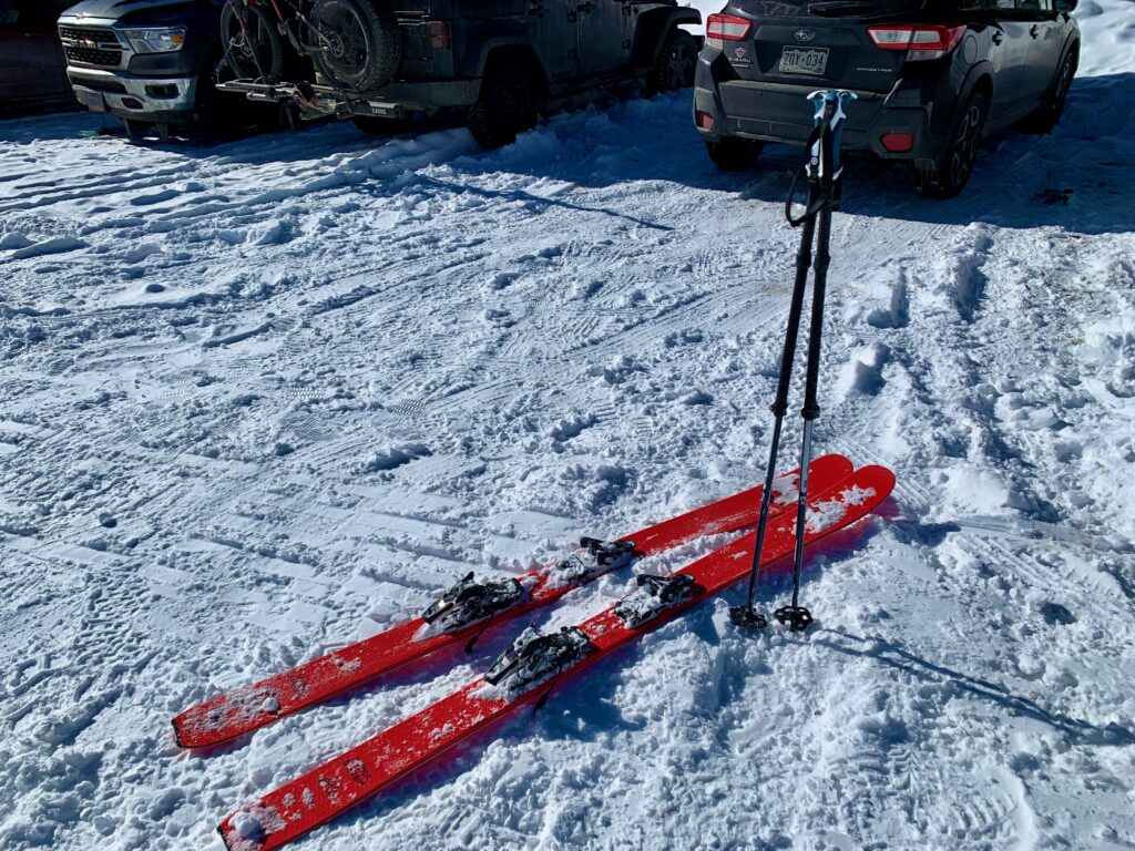
Back at the parking lot, day done.
So Chalk Creek is definitely a cool place to ski. Its wide-open, mellow slopes and its popularity make it a safe spot to enjoy the backcountry. The snow is great and the views are spectacular, just don’t go joining any random tour group you happen to meet along the way. They’re kind of touchy about that sort of thing.
Thanks- another good read (made me more excited to come home!)
Just doing my part to share a little inspiration!