Ever since I skied Mt. Shavano last spring I’ve been thinking about my next mountain. There’s no shortage of mountains around here. It’s sort of our thing. The question is, which one?
The natural tendency is to think of other fourteeners. They’re the most well-known. The problem with skiing fourteeners though is while a few of them, like Shavano, have naturally skiable lines, most of them are kind of stingy when it comes to skiing. Either too steep or too rocky, they have lines that are only skiable under certain conditions or have lines that are way over my pay grade in terms of difficulty. Like you fall, you die difficult. And while there are people who have skied all of them, that’s not really what I’m looking for. At this point in life, I’m out of envelopes to push. I just want a nice backcountry ski.
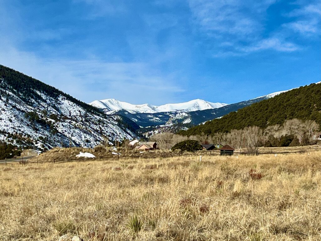
Then one day while driving up Monarch Pass, I looked up at the Continental Divide frosted in white and noticed a mountain with a beautiful, smooth, gently-sloping southeast face. Ooohh what’s that? I’d seen it many times before but it hadn’t registered in my ski brain. Now it was like it was begging to be skied.
When I got home, I pulled up the trusty topo map and discovered the peak in question is named Clover Mountain. I like that sound of that.
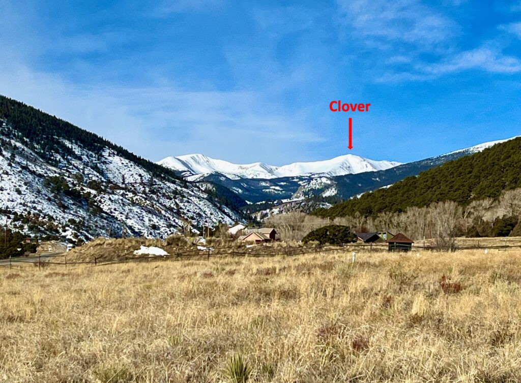
At 12,965 feet, Clover is one of the peaks that make up the Continental Divide ridgeline north of Monarch Pass. While maybe not as impressive and certainly not as well-known as the fourteeners, it’s plenty big enough. And it has the added benefit of being right in my front yard. No multi-hour drive in winter conditions to get to it.
In the dark days before the Internet, getting information on an obscure mountain like Clover must’ve been next to impossible. You probably had to seek out some backcountry Grizzly Adams type who had previously done it (assuming Grizzly skies) or you had to be willing to strike out on your own to find a way. Now days, with a quick search on the Internet I was able to turn up two reports, complete with maps and photos of people who have skied it.
From reading the reports, I learned there are two primary approaches to ski Clover, both up Middle Fork Road. The first uses the summer trail to Boss Lake then goes up Clover’s east ridge from the south. The second goes farther up Middle Fork, cuts across Clover’s east face and approaches the east ridge from the north. I’m familiar with the Boss Lake trail from summer hikes up there. I had previously been up Middle Fork in winter on my fat bike as far as the Lost Wonder Hut.
But I wanted to do a little real-time winter reconnaissance to compare the two options and to figure out which is the most doable for my still entry-level backcountry skills. You can stare at a topo map all day long but until you actually get out there and see the lay of the land, you really don’t know what you’re up against.
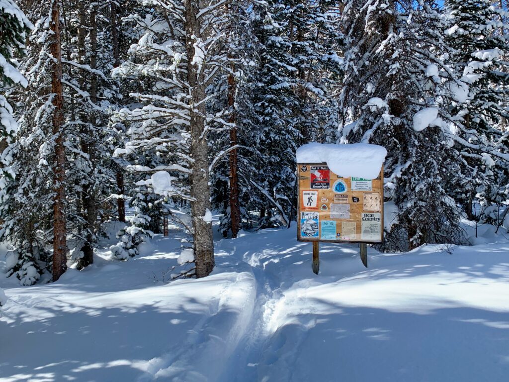
I headed up Monarch Pass the day after a two-day storm had blown through the area. It was a classic Colorado winter day: fresh snow, sunshine, bluebird skies, and mild temperatures. Perfect. I got to the town of Garfield in the late morning, found a parking spot at the Middle Fork trailhead and began gearing up. It wasn’t going to be a ski as much as a walk in the woods in winter. But on such a nice day, even a limited objective like that is hard to beat.
When I pulled into the parking lot there was another couple with gear spread all over the ground also getting ready to head up. From the size of their packs and the amount of stuff they were organizing, it was clear they were going for an objective considerably larger than my little day outing. I said hello and asked them where they were headed. They said they had reserved the Lost Wonder Hut for the next three days and were heading up there to meet some friends. The guy was rigging up an elaborate system of ropes and straps to a large plastic tub filled with what looked like two cases of beer.
You planning to drag that thing all the way up there? I asked.
The woman said, Yep, I’ve got the clothes and sleeping bags, He’s in charge of the beer.
Ok, good luck with that. If you pass me along the way, I’ll know I really suck.
I said goodbye and headed up the trail.
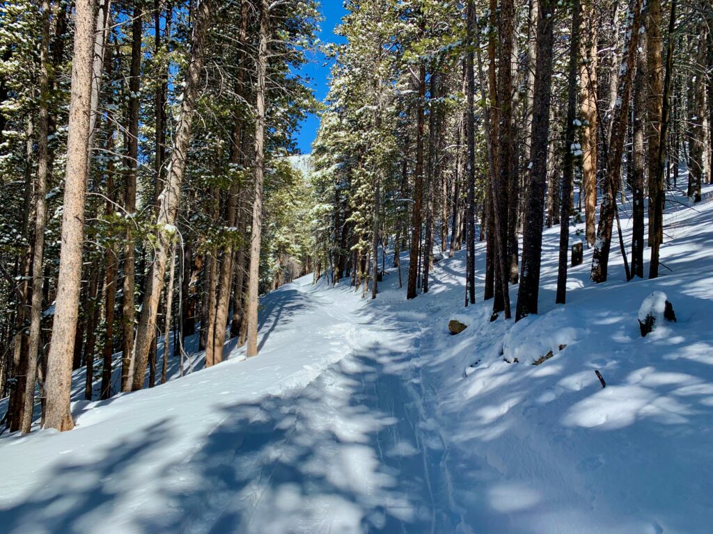
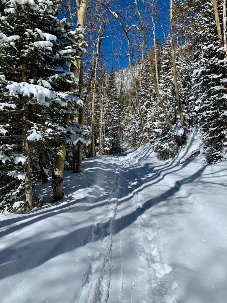
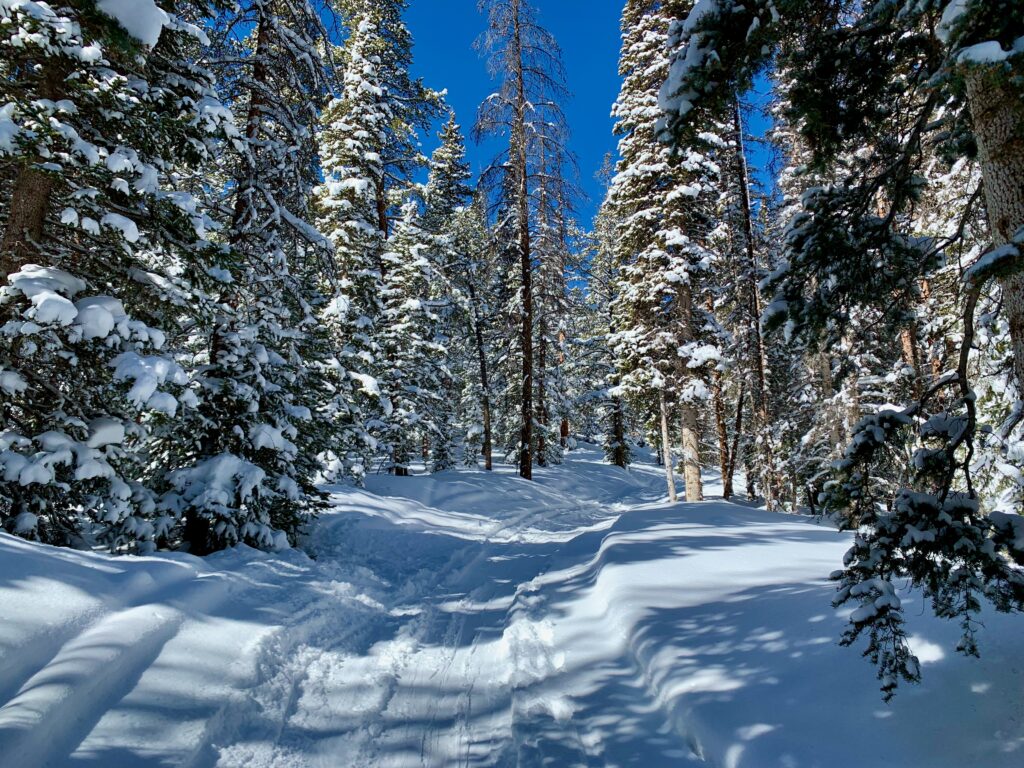
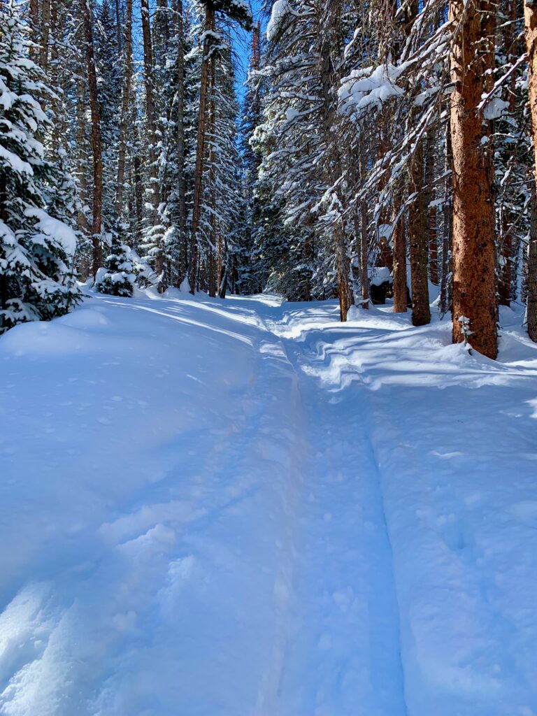
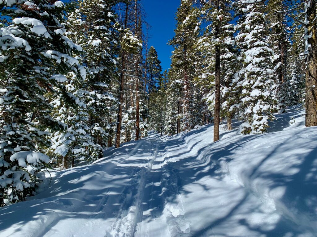
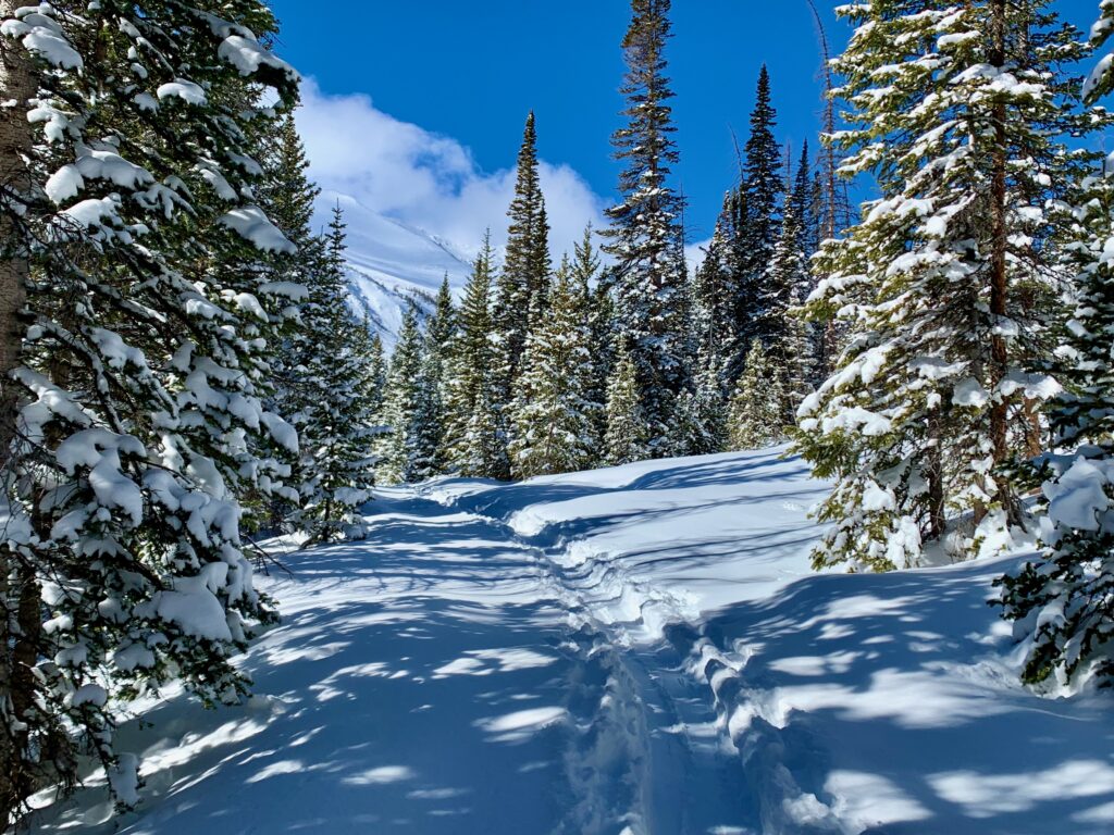
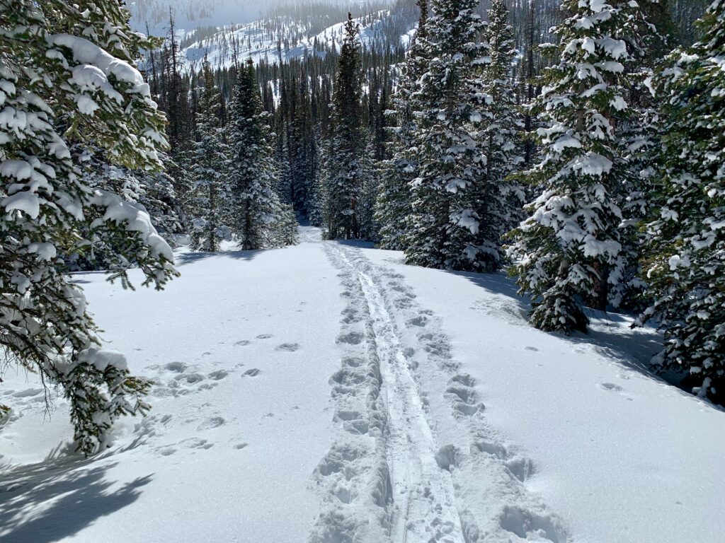
The Middle Fork trail starts out mildly steep at the bottom, gradually flattening out as you climb higher. Unlike my last time here, there was no evidence of snowmobile activity, just ski tracks.
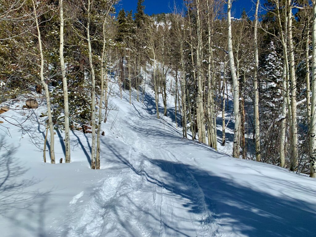
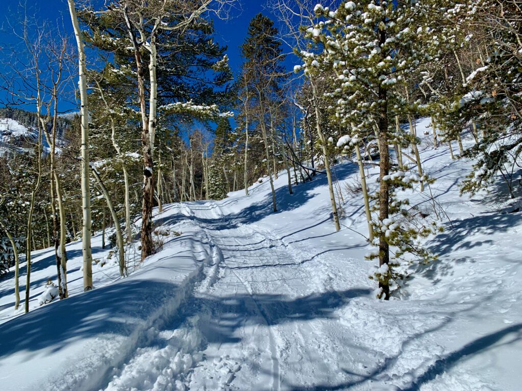
The thing I noticed immediately is how much easier it is to ski than to fat bike on a trail like this. The reason is, fat bikes don’t get as good of floatation on snow as skis. Even a 4.8-inch-wide tire contact patch can’t compete with a 178 cm. long ski contact patch. As a result, on a bike not only are you working against the uphill, you’re constantly fighting against sinking through the top layer of snow. Skis float along the surface. My memory of riding Middle Fork was that it is a bit of a leg and lung burner. On skis it was a nice, mellow ski tour.
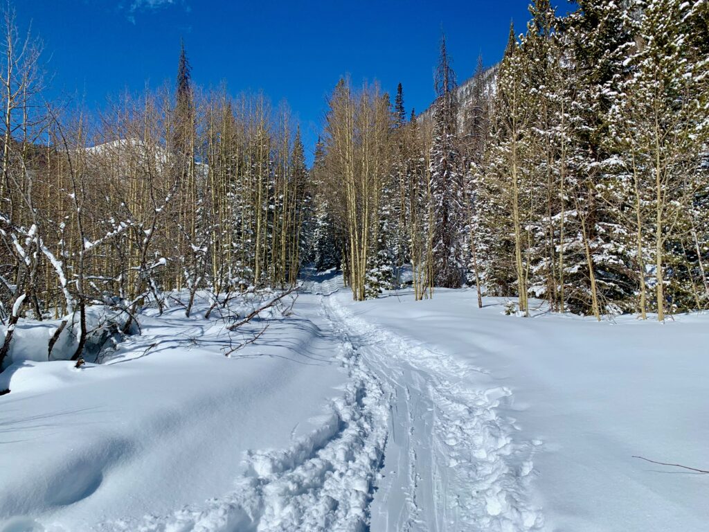

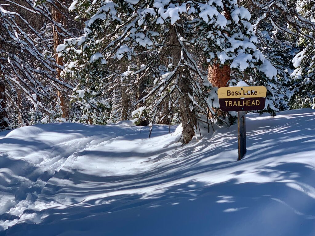
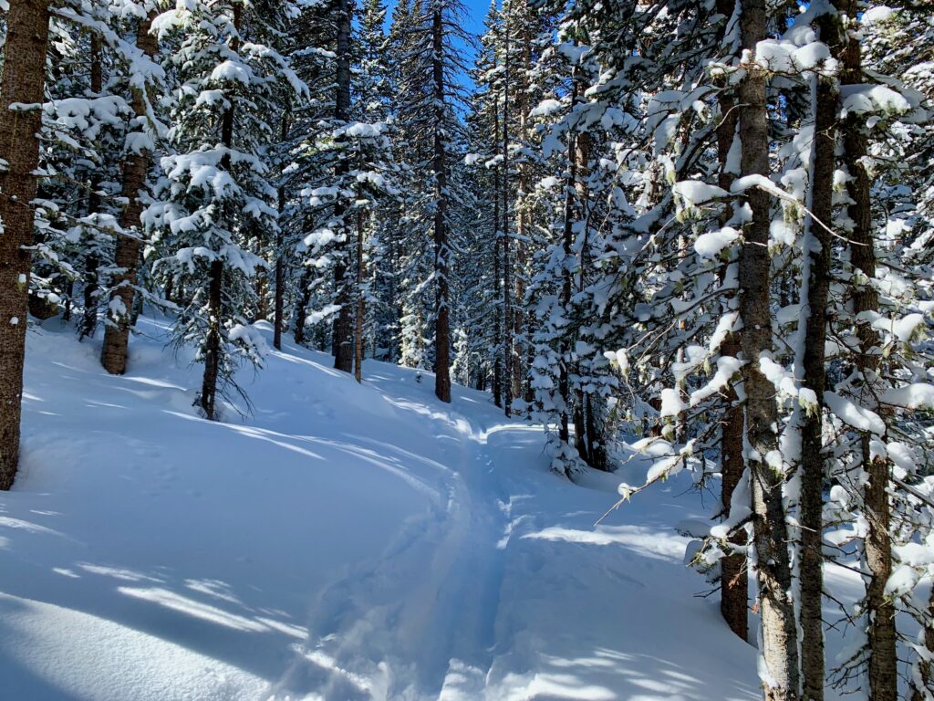
At the turn-off for Boss Lake I was happy to see a set of ski tracks heading up the trail. Boss Lake is a popular hiking and fishing trail so I figured there’d be some kind of tracks up there. Breaking trail in deep snow is beautiful but hard. A set of tracks is always welcome.
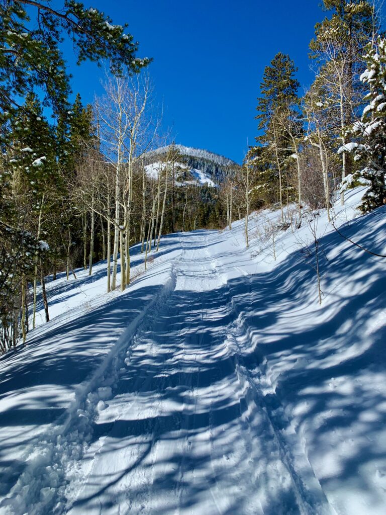
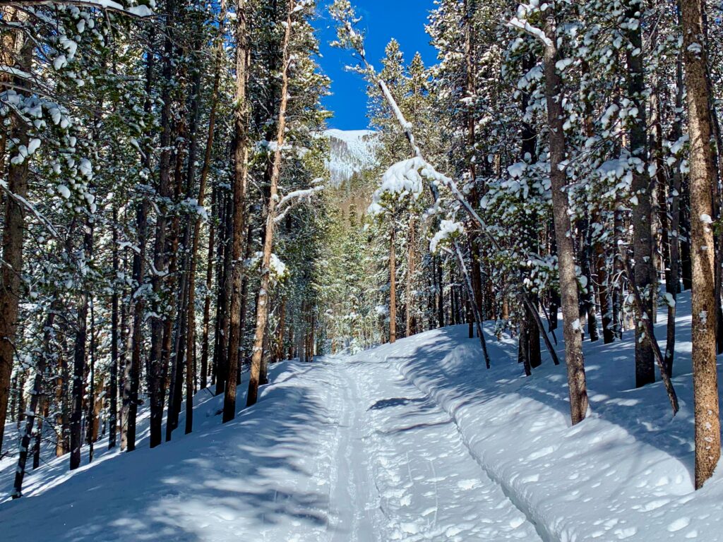
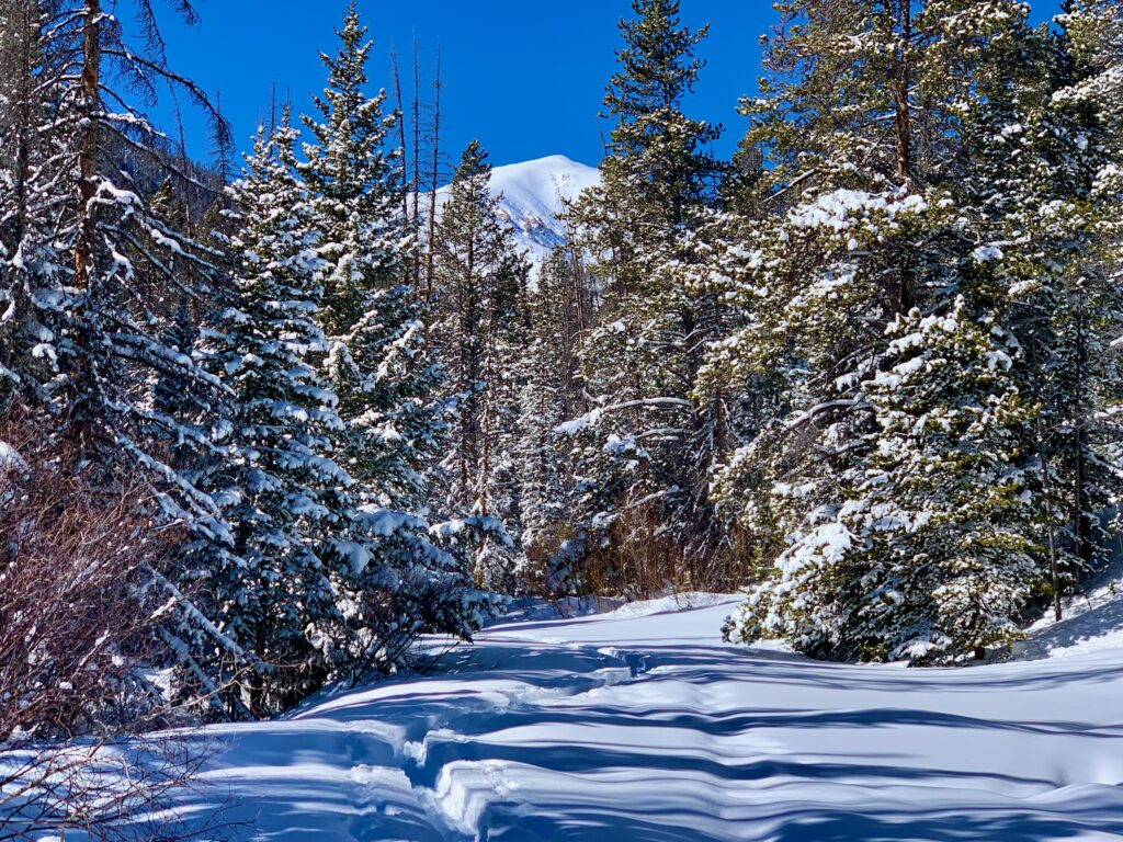
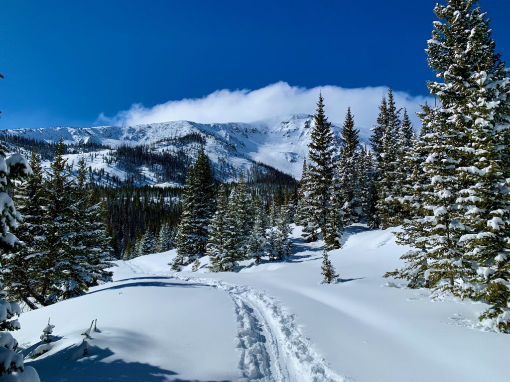
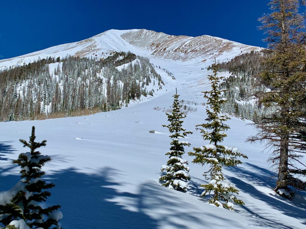
Thar she blows! The summit of Clover Mountain peeking over the trees.
Bridge over the creek that gives this drainage its name, the Middle Fork of the South Arkansas river. As I eventually discovered, this little bridge is a key element to being able to climb Clover.
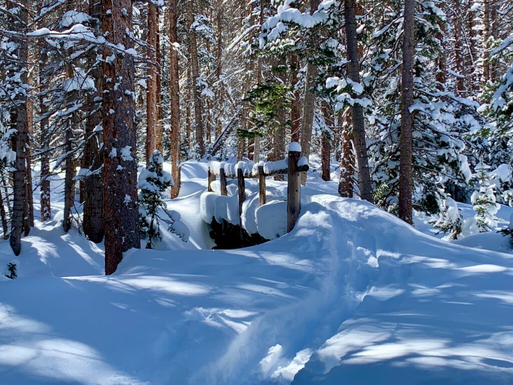
Not much of the creek visible under the snow, but it’s there and the water was flowing.
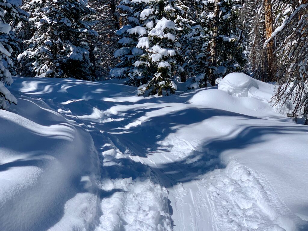
In summer, I remember the Boss Lake trail from the bridge up to the lake being steep and rocky. In winter, with all the rocks covered in a blanket of snow, it was smooth and soft. Even the grade somehow seemed milder.
The deep snow combined with the thick forest made it absolutely silent. The only sound was my own breathing, the beating of my heart in my ears and the occasional tapping of a woodpecker on a nearby tree.
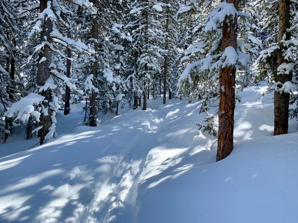
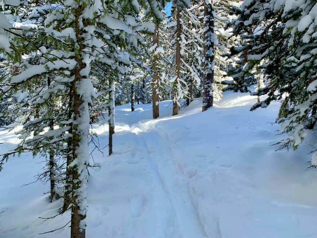
I climbed the Boss Lake trail for about a half mile to get a sense for what it’s like. The rest of the route from the lake to the east ridge should be fairly straightforward. My only concern about this route was the tightness of the trees. Descending it requires some slow, careful skiing.
I headed back down to the main trail to take a look at the second route option.
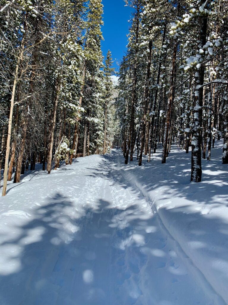
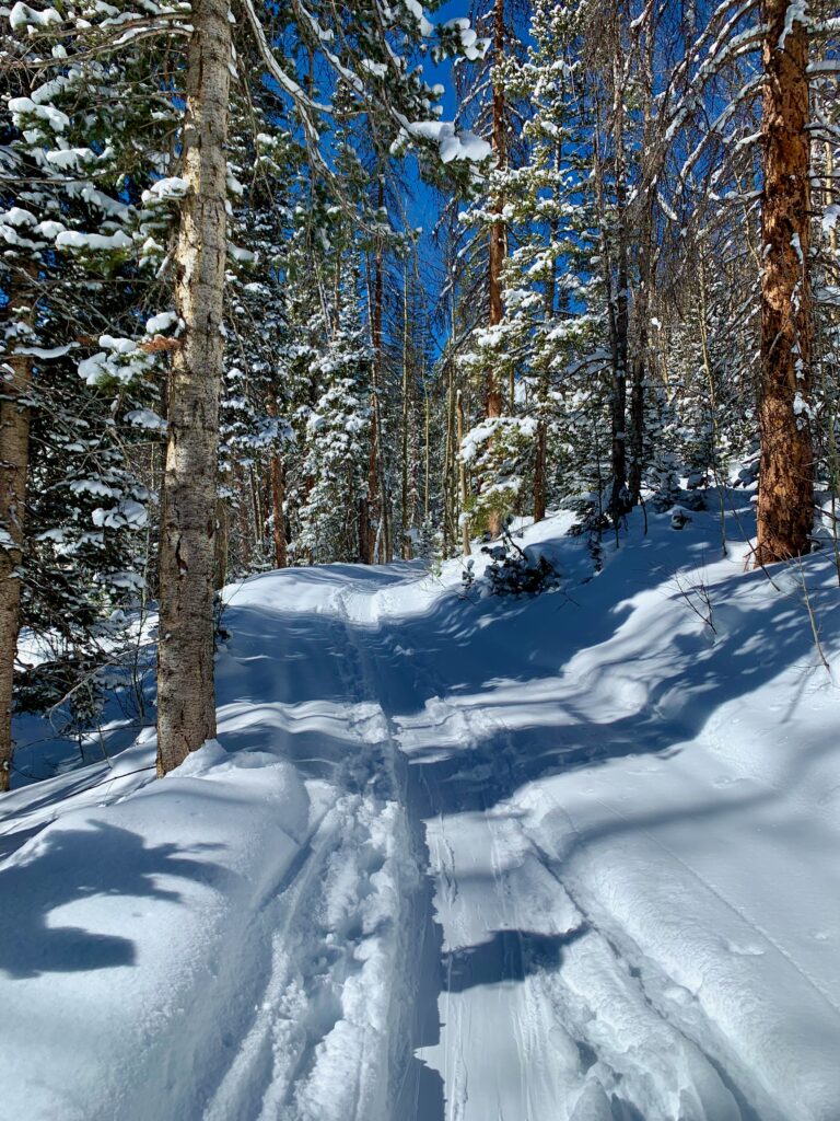
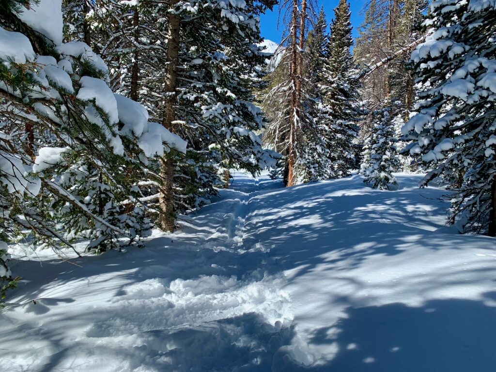
Back on the Middle Fork trail, climbing higher. The exact spot for the cutoff for Clover was not defined in the reports I read. What I was looking for was another trail, hopefully one with a skin track, cutting left off the main trail, crossing the creek, providing access to Clover’s east face.
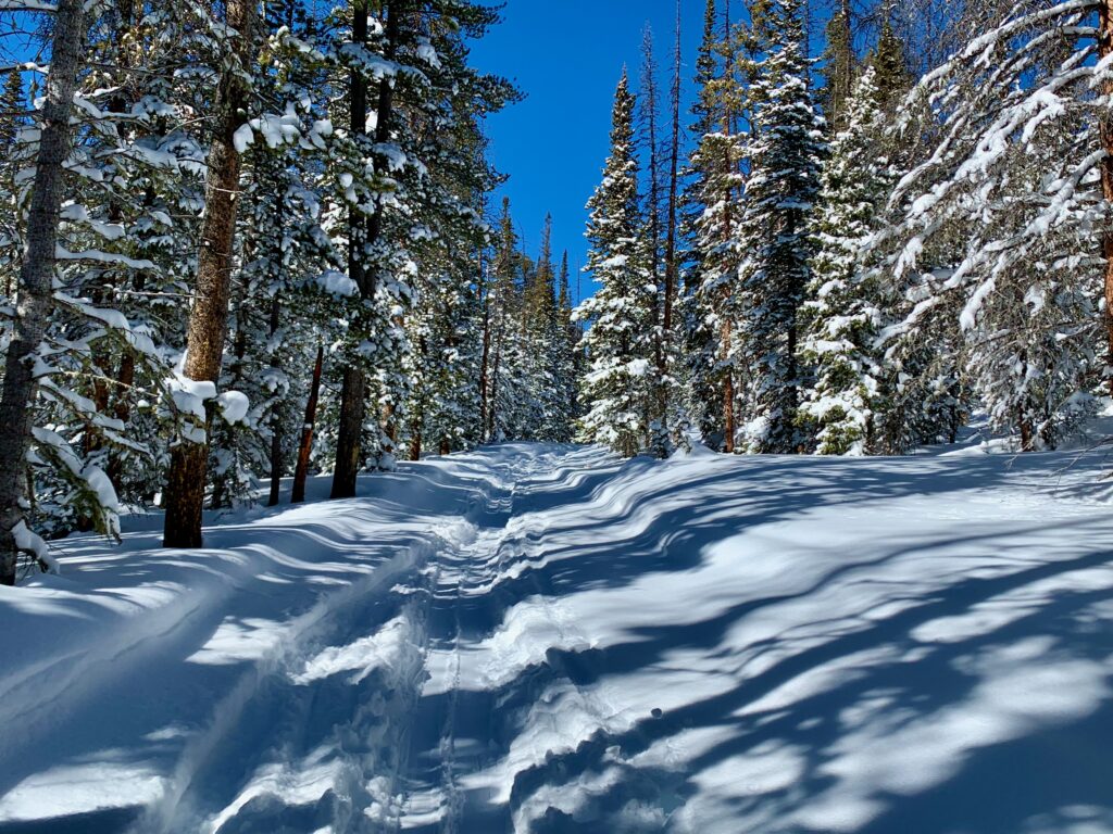
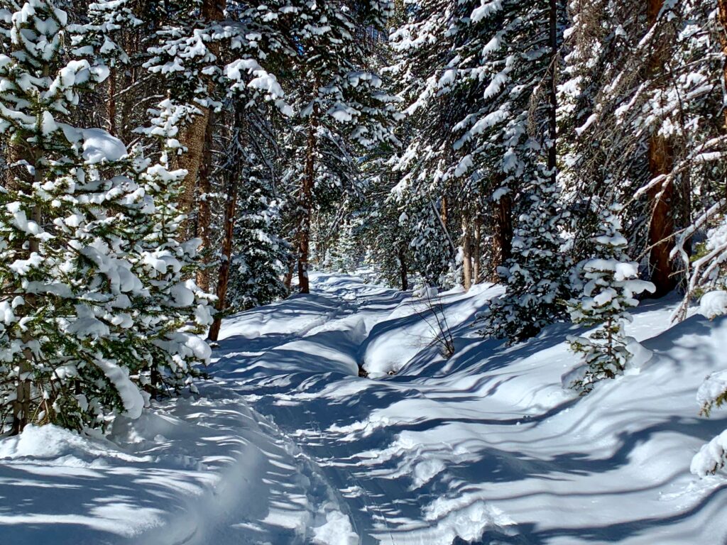
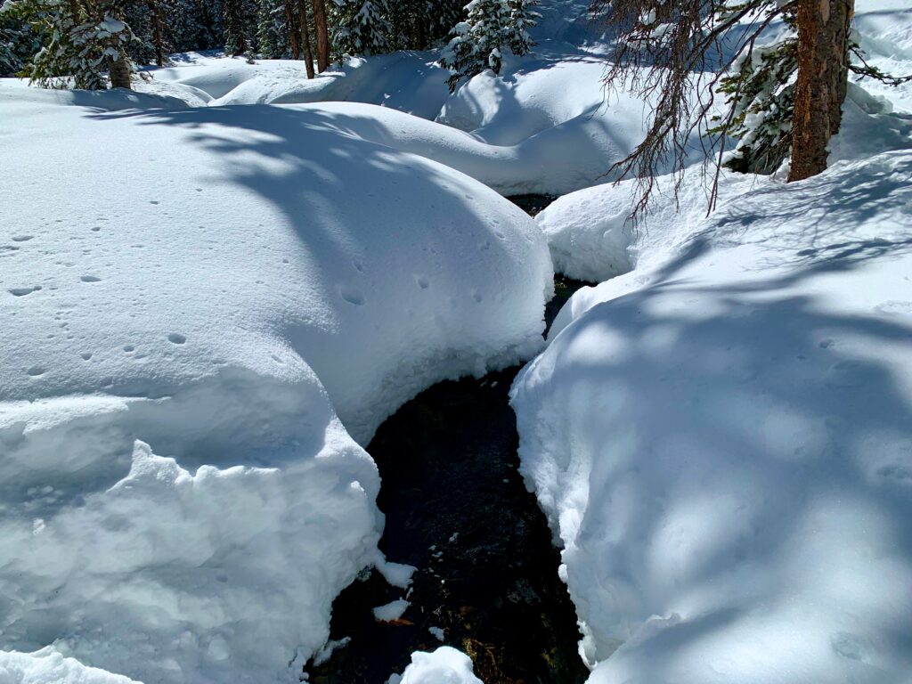
After another mile of climbing, I found nothing. Without a bridge of some kind, there would be no good way to get across the creek I was paralleling all the way up.
I came around a corner and got my first clear view of Clover’s east face. By now the summit was shrouded in clouds. Beautiful, but a bit intimidating.
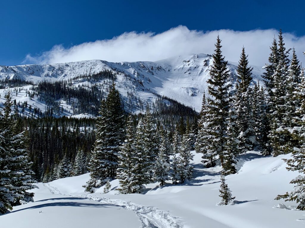
A closer look. Steep and complex, the kind of terrain you can get lost in. It’s difficult to see in this picture but there was also evidence of two slides since the recent storm. Avalanche terrain. Not a good place to be. And still no way to get across the creek.
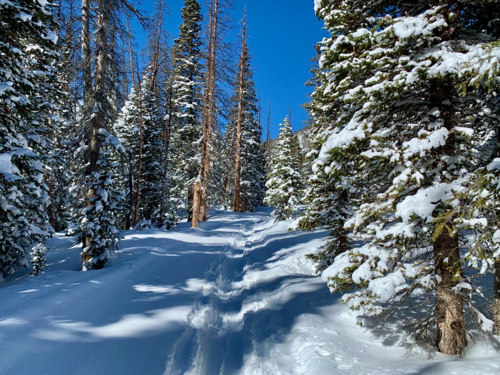
Farther up, I came to the base of Mt. Aetna with its Grand Couloir on my right.
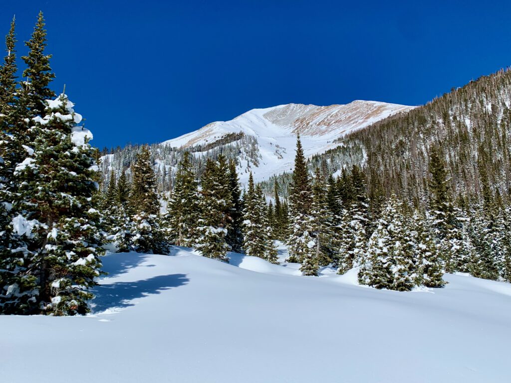
Funny, from this angle the Grand doesn’t look nearly as steep or intimidating as it does from Monarch Pass. An easy blue run. Yeah, right.
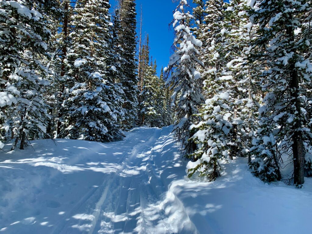
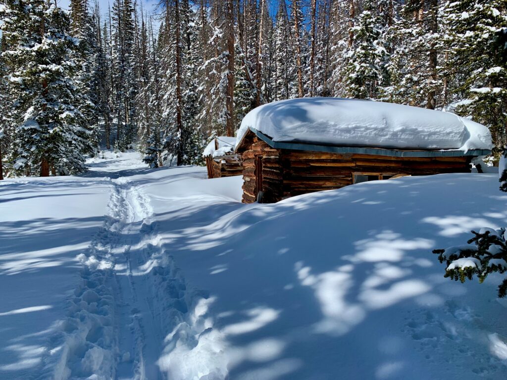
Then, just past these old cabins I found a skin track going left off the main trail.
Could this be my turn? I headed off down the side trail to take a look.
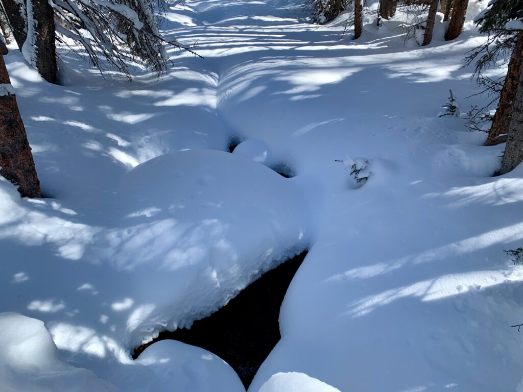
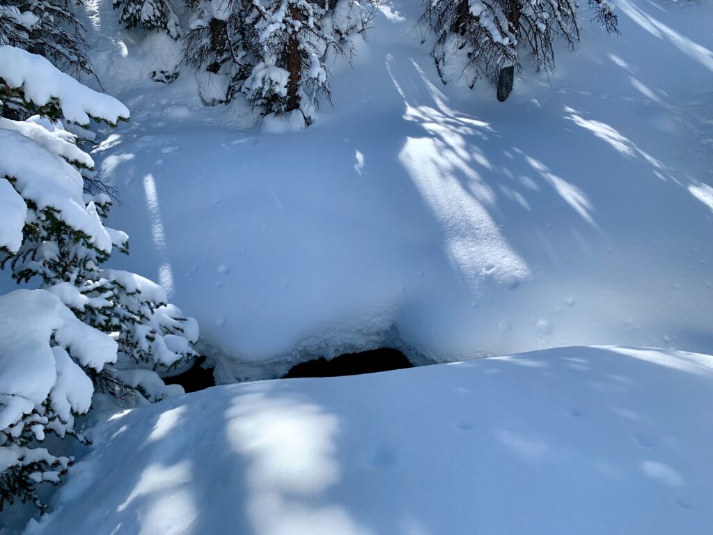
Nope. Dead end at the creek. You can’t tell from this picture but that’s about a six-foot drop down to the water. You try to cross here and you’re probably going to get very wet and very cold you’ll likely need someone with a rope to pull you out.
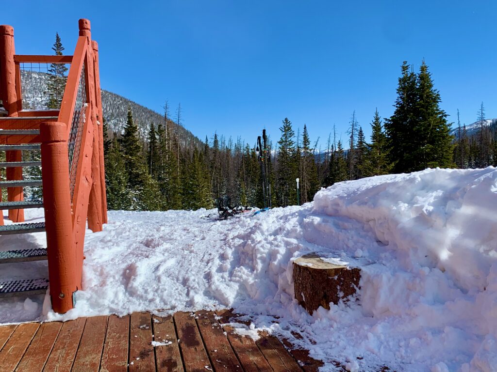
I headed back to the main trail and continued up. Within a couple hundred yards I spotted the Lost Wonder Hut through the trees and finally came to a bridge. I’m standing on it in this photo. It looked to be fairly new. The last time I was up here on my fat bike you had to cross the creek on a natural snow bridge.
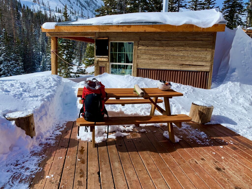
As I topped the hill at the Lost Wonder Hut, I was greeted by two fellow skiers, Bob and Wes, both from the Denver area. As it turns out, they were friends with the couple I met at the trailhead and part of a party of six that were staying at the Lost Wonder Hut.
They asked me if I’d seen their friends. I told them they were behind me but it would probably be a while before they arrived. Bob said he was going to ski back down to help them out. Wes offered me to take a breather on their sunny picnic table. So I sat down for a snack.
Sitting there staring up at the east face of Clover Mountain I went back over what I’d learned on my reconnaissance mission. After seeing most of both routes it seems clear to me that the Boss Lake trail is the better approach for skiing Clover. While the Middle Fork route up to the Lost Wonder brings you closer to the mountain initially, that steep, complex east face looks too risky to me, both from an avalanche and a route-finding perspective. With no bridges across the creek except at Boss Lake and the Lost Wonder, there are really no other reasonable options.
The ski back down was uneventful. It was more of a scoot than a ski. I left my skins on because even though it’s downhill back to the trailhead, the trail is rolling with several slightly uphill sections along the way. Also, because it’s narrow, on the steeper sections it would be hard to control your speed by normal turning and snowplowing, while effective, would mess up the skin track, which is not cool.
I passed Bob and the couple from the trailhead plodding up the trail, beer in tow, about a mile below the hut. They had been joined by the other two in their party. All were in high spirits, anticipating their next three days skiing in the mountains.
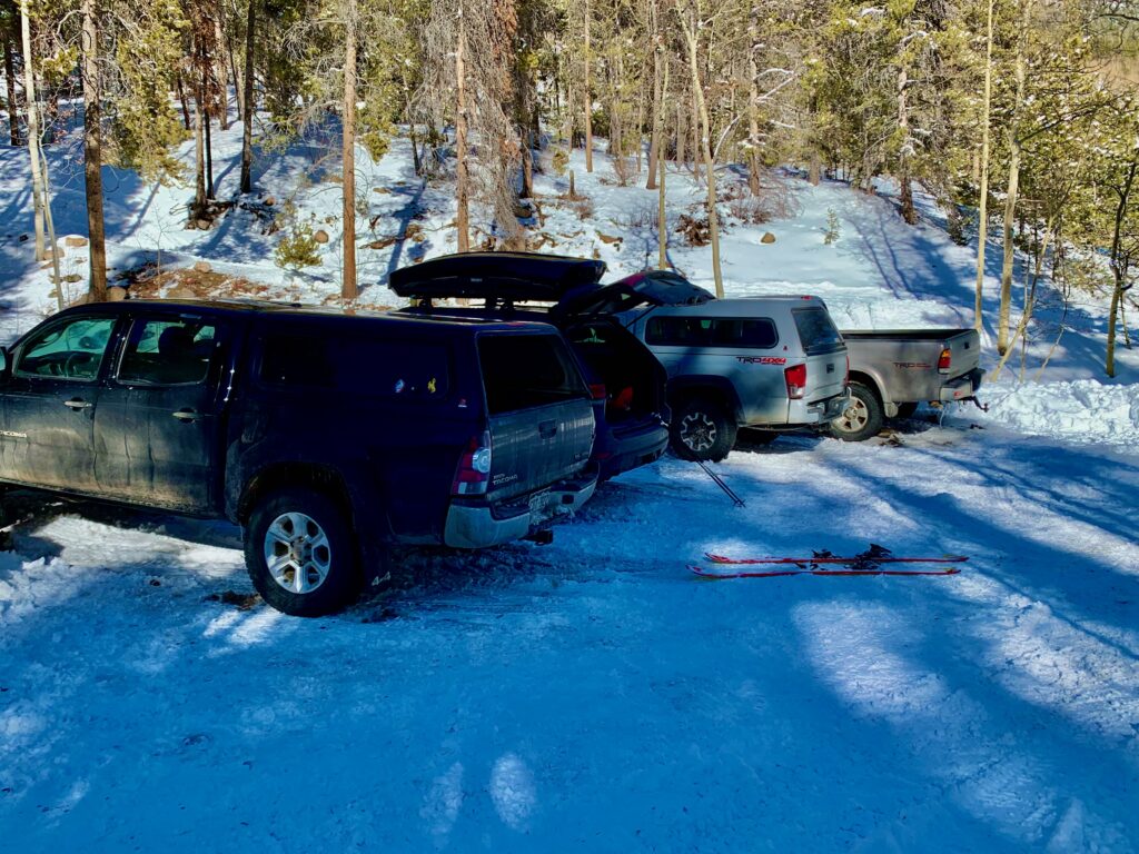
Back at the parking lot there were a couple more cars wedged in among the snow banks since I had left that morning.
I took off my skis and boots and began to pack up for the drive home. As I was getting back into my car I was greeted with a pleasant surprise. Apparently, the couple I had talked to in the morning were not only connoisseurs of the malted beverage but were also very generous types, as they had left this local favorite on the roof of my car!
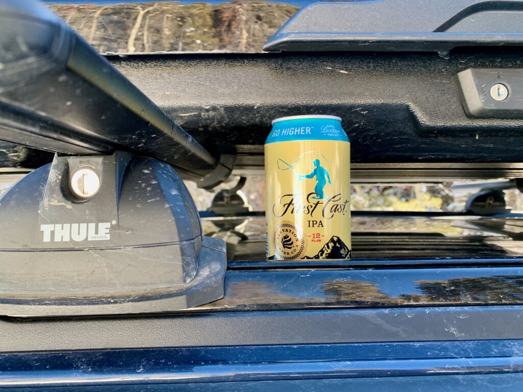
Many thanks to the generous couple, whoever you are, for your kind and welcome gift. I hope you enjoyed your skiing!
And how’s this for a postscript… A couple days after my Middle Fork adventure this report showed up on the Colorado Avalanche Information Center website. The day before I was there, one skier was trapped and rescued in a small avalanche on Clover’s east face. Yeah, that’s a confirming nope for me on that route!