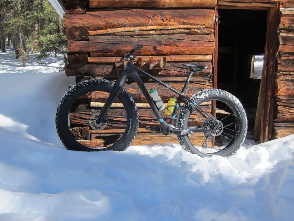
After my Fooses Creek ride a couple of weeks ago I began thinking of other places in the area where I could get the fat bike back into the mountains in snow. Preferably someplace with a well-packed trail that goes a little deeper into the woods.
Hmmm, let’s see, what goes through snow, makes a well-packed trail and can go deep into the woods? Something large, something heavy… Yeti?

No, snowmobile.

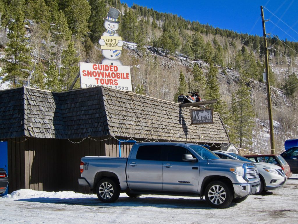
About three fourths the way up Monarch pass at 9,500 feet sits the tiny town of Garfield. Monarch Snowmobile Tours is based in Garfield and I’ve been eyeballing their operation every time we drive by, partly because by all appearances they’re a thriving business with a regularly full parking lot and partly because they are located at the bottom of county road 230, also known as Middle Fork. Middle Fork is short for the Middle Fork of the South Arkansas river. County road 230 follows this branch of the river uphill as it cascades off the continental divide just below Chalk Creek Pass. My bet was that with such easy access to the backcountry, the snowmobile guys must surely have a well-worn, miles long trench up Middle Fork for their snowmobile tours, which would more than suffice for me and my fat bike.

I had never ridden up Middle Fork. All I knew about it was what I had seen on the topo map but I could see the road/trail goes all the way to the ghost town of Hancock in the summer. In the winter it was more a question of if the snowmobiles went that way and how far. So, it was going to be an adventure in the true sense of the word, a general direction but no real destination and no knowledge of what lies along the way. Ah, the best laid plans.
I believe my hunch was correct, snowmobile tracks!
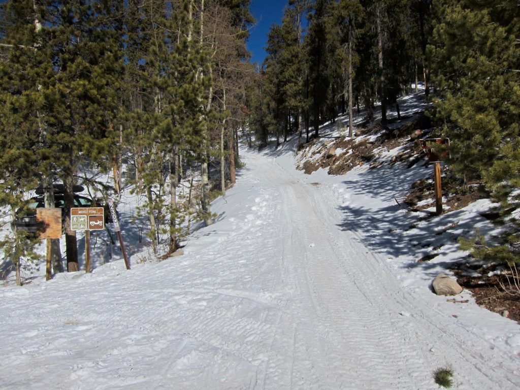
The road climbs steeply from highway 50.

Looking down from the top of the first switchback.
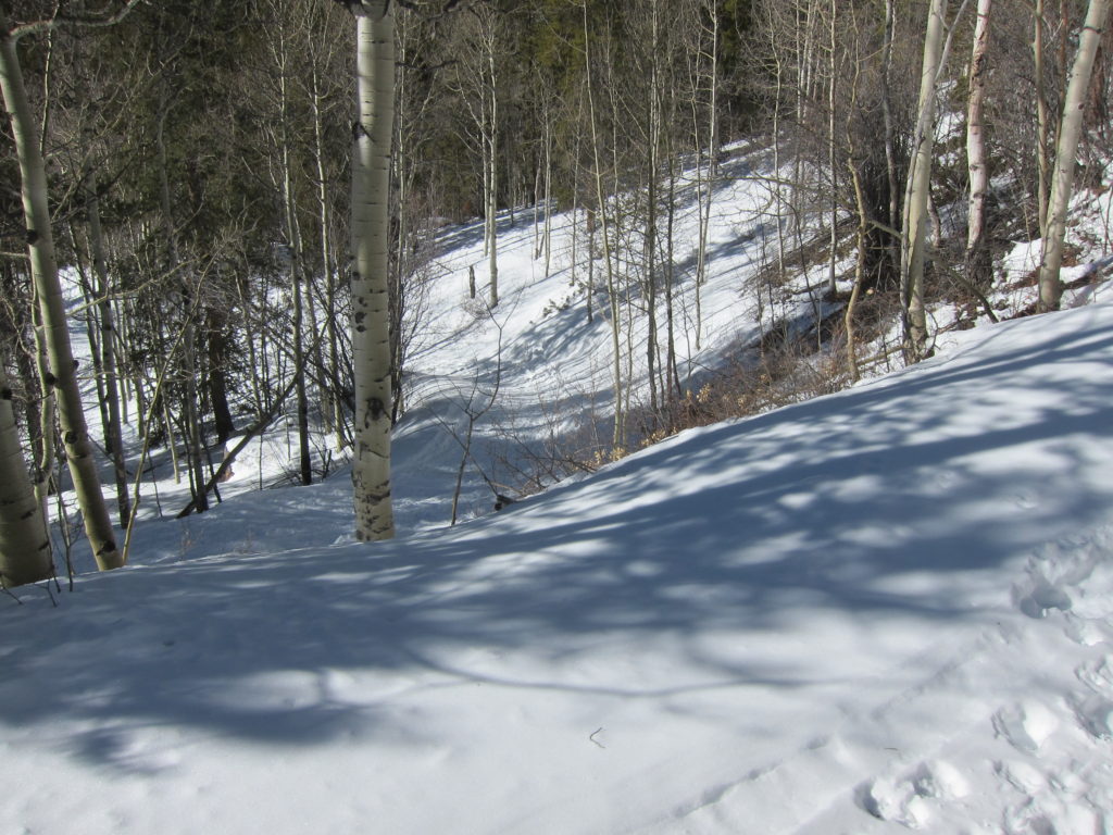
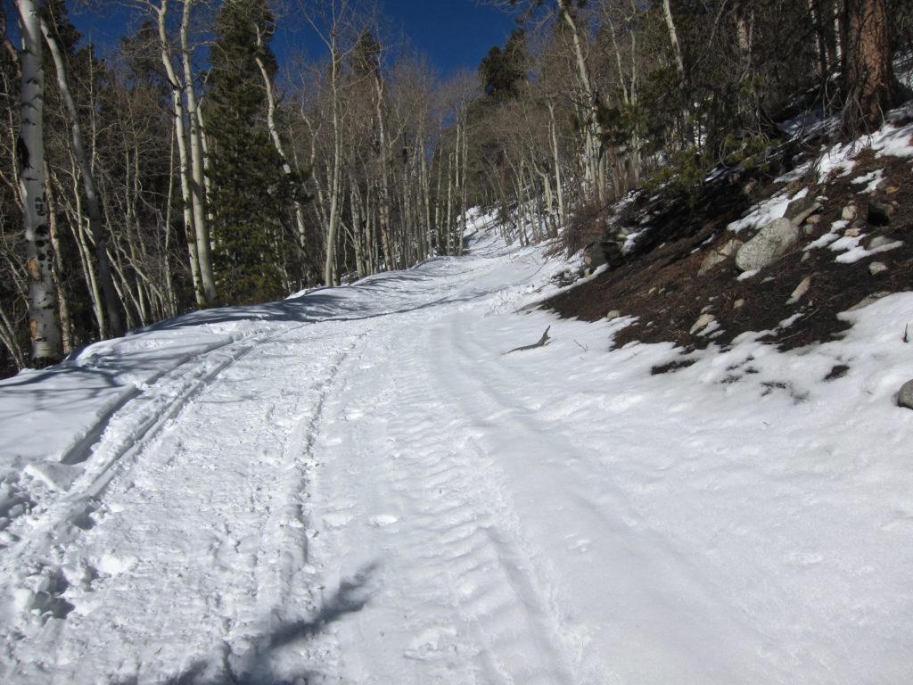

Fat bike nirvana. Thank you snowmobile guys!

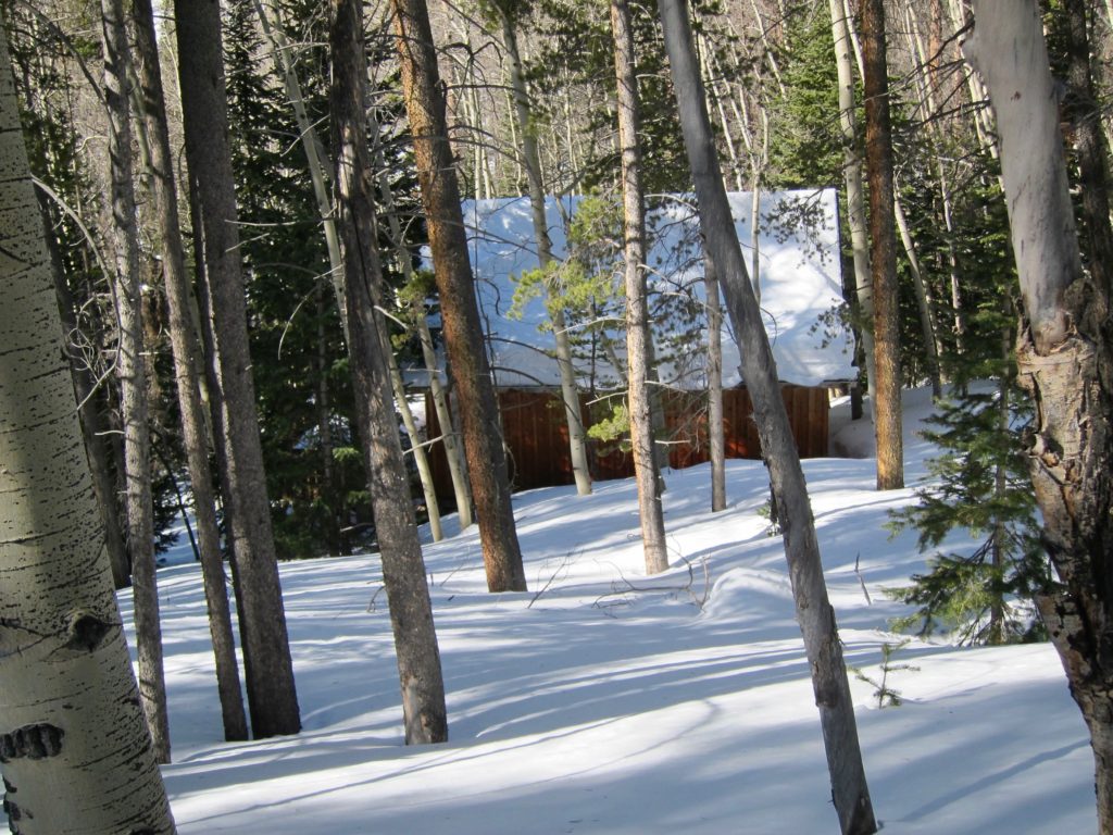
Random cabin in the woods.
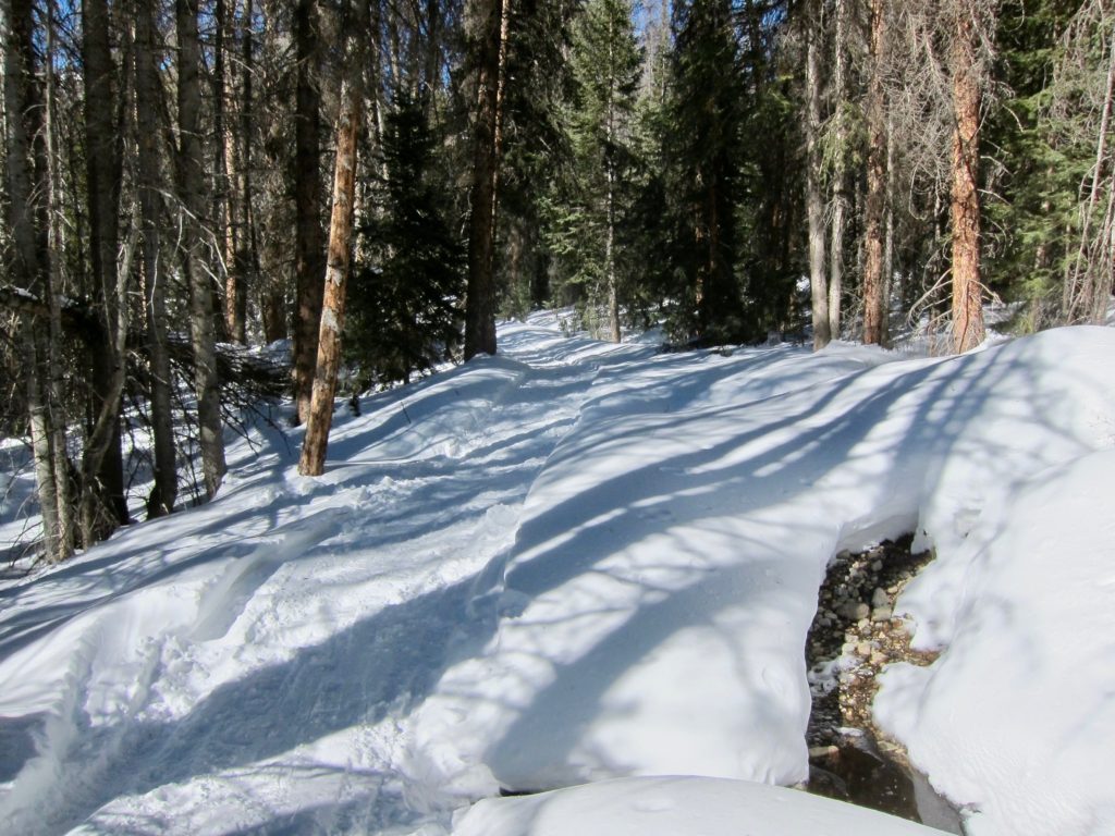
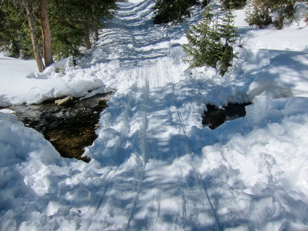
Creek crossing.
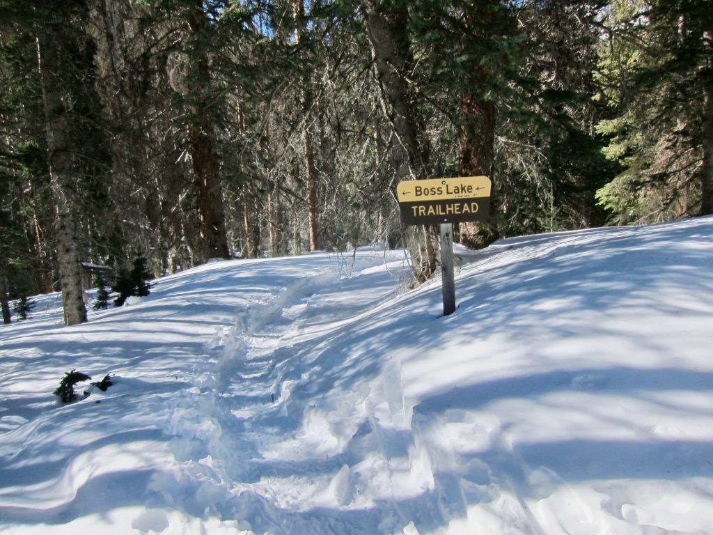
Turn for Boss Lake. I’ll save that one for another day.
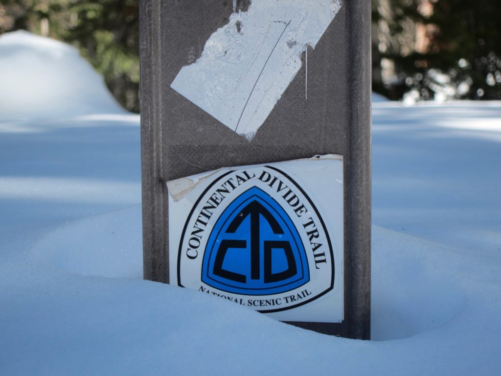
Above the Boss Lake trail intersection the trail is officially the Continental Divide Trail (CDT). Trail marker nearly buried in snow.
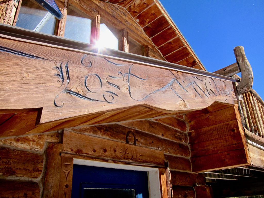
A little further up the trail was another, somewhat mysterious sign. Lost Wonder Hut? Hmmm…


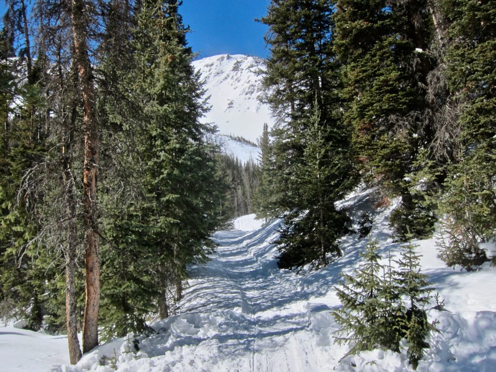
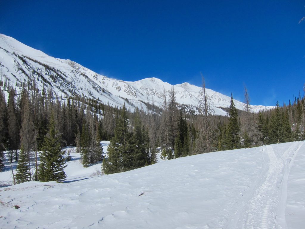
After a couple of miles of climbing the trail levels out somewhat and breaks into a meadow.

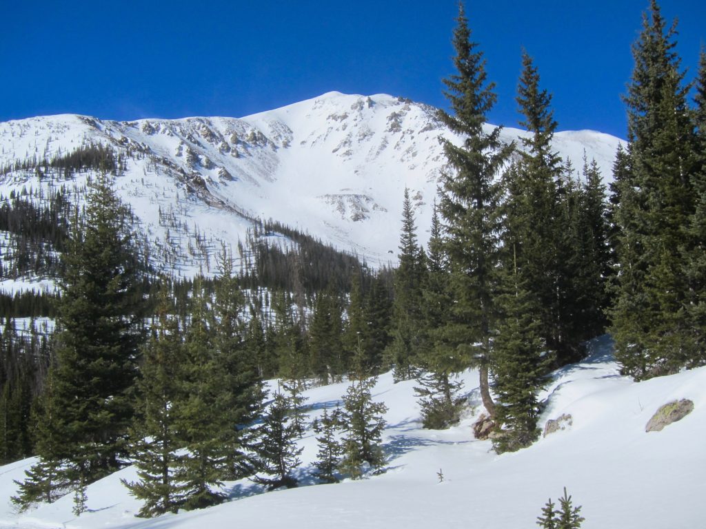
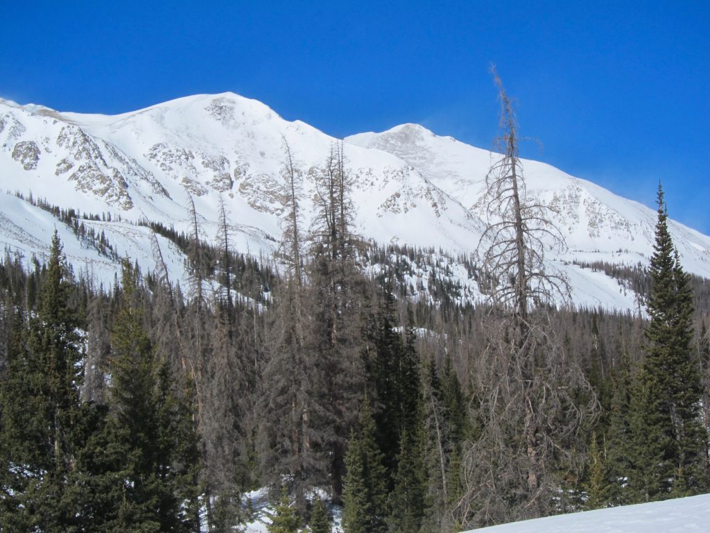
The Continental Divide and Clover Mountain come into view.

Clover Mountain.
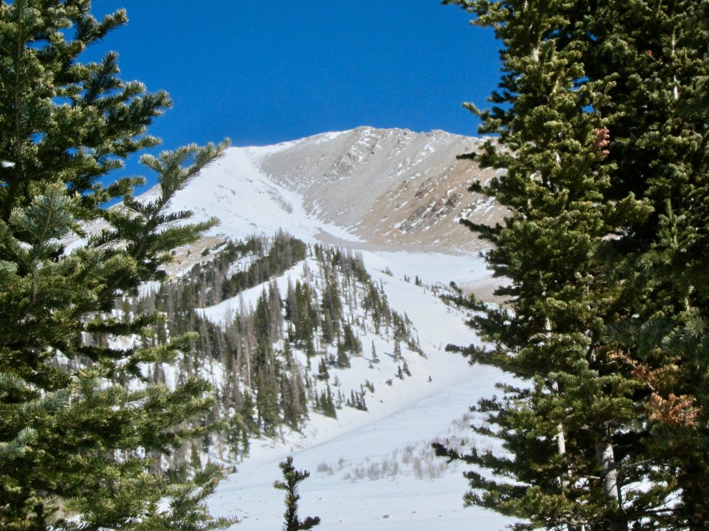
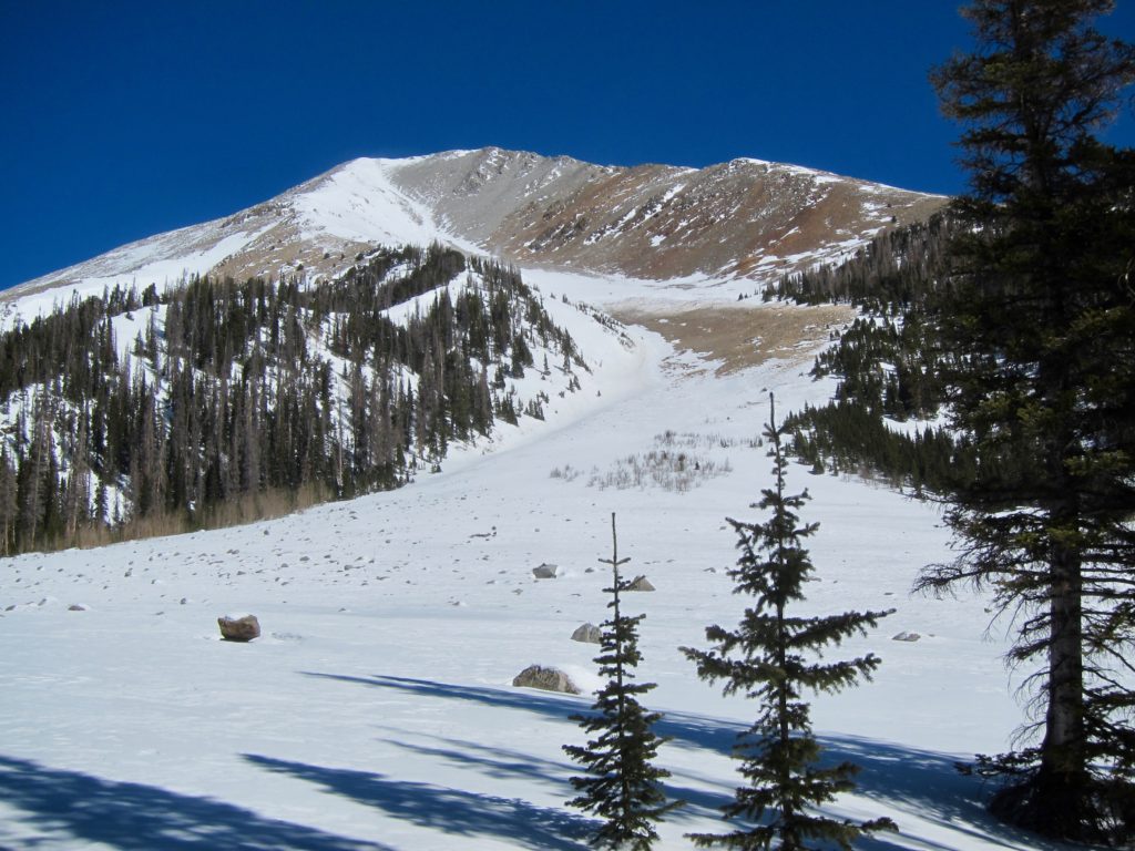
One thing I did know about this route was that the CDT takes you right past the base of Mt. Aetna. Aetna is one of the more distinct mountains in the Sawatch with its cone shape and huge gash-like Grand Couloir on the south face. I had only seen Aetna from a distance. It’s the dominant view from the east side of Monarch pass and the Monarch ski area. I was looking forward to finally getting up close to it. It didn’t disappoint. The view looking up from the bottom of the Grand Couloir was one of the more awe-inspiring things I’ve seen in a while. 13,745 feet, straight up!
There are rustic huts scattered all over the Colorado mountains for use by hikers, bikers, back country skiers and anyone else who would like to spend the night in something more than a tent. Some have wood-burning stoves, some are even stocked with food but most are just rustic shelters. I came over a rise and saw these two guys half buried in the snow.

The doors were open so I went in. Definitely on the rustic side.
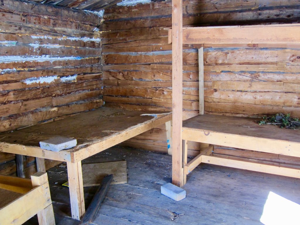
Were these the Lost Wonder Hut that the sign was talking about? Doubtful. There were two of them and while interesting, neither seemed worthy of a sign.
Second creek crossing. FYI, just because a snow bridge will support a 500-pound snowmobile doesn’t mean it will support me and my fat bike. Something about weight distribution I guess, either that or I need to dial back on the beer. I rolled out onto this only to have my front tire punch through and splash into the water underneath. I went over the bars and landed in the snow inches from what would have been an ice-cold splash down and a miserable ride home. Managed to pick myself up and gently tip toe across.
Climbing higher.
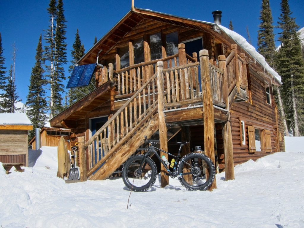
What’s this?!? At around 10,600 feet the trail broke into a clearing and standing there on the hill was this two-story log hut, more of a house really. The Lost Wonder Hut! I had no idea it was there, I’d never even heard of it but there it was standing in the sun all warm and inviting.
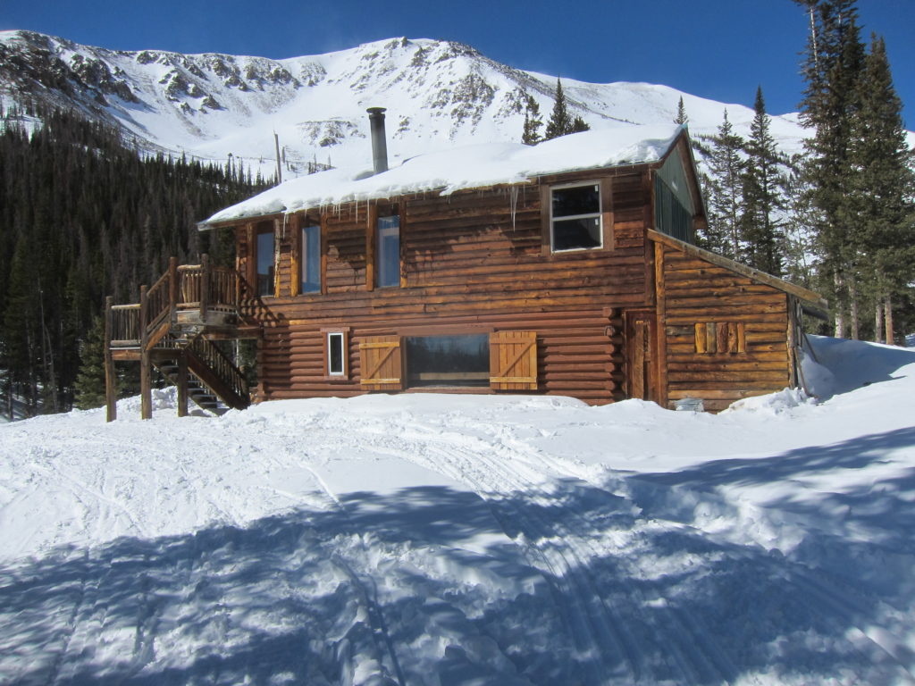
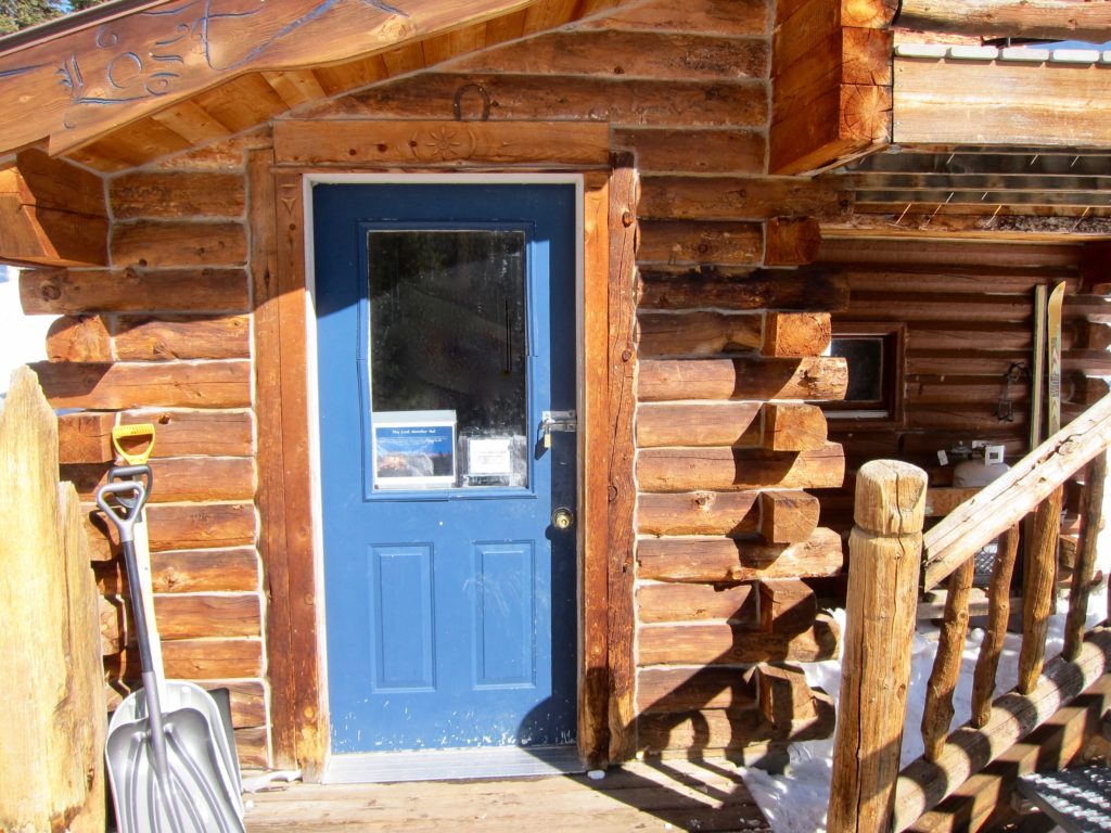
The door was locked and no one was inside but the sign on the front door gave information about the owners, their website and a phone number to call to rent it. Cool! It would be a great place to spend a couple of nights in the summer with friends to climb some of the surrounding peaks or just hang out. Mentally noted.
The hut comes with a spectacular view of the Continental Divide.

About 100 yards beyond the hut the snowmobile track I had been following swung off the trail and turned around on itself. Beyond that was nothing but some old wind-blown ski tracks and snow up to your eyeballs. I guess I’ve reached my destination for the day.
Vulcan and Monumental Peaks, I think?
And if I needed any more convincing, there was this truck. That should buff right out.

It was a great day and a fun ride. Although it would have been really cool to make it all the way to the top of Chalk Creek pass, discovering the Lost Wonder Hut was a bonus. I’m finding that when riding a bike in the winter in the mountains the length of your outing may not be determined by your stamina as much as by the availability of rideable terrain. So remember, don’t wonder if you’re lost, you may just be finding the lost wonder.