In terms of area, Colorado’s San Juan mountains are the largest mountain range in the state. Whereas other ranges are more or less linear, the San Juans comprise a vast wilderness area of something like 4,000 square miles in the southwest corner of the state.
The San Juans are home to 12 ranked fourteeners (second in number only to the Sawatch), clustered near the towns of Telluride, Ouray, Lake City and in a remote area known as the Weminuche. But there is one San Juan 14er that stands by itself in the eastern end of the range, hidden in what’s called the La Garita wilderness. Due to its solitary remoteness and lack of any notable technical attraction, it tends to get forgotten by climbers. I know I initially forgot about it when I was putting together my 2026 climb list. That mountain is San Luis Peak.
Despite being far from the other San Juan 14ers, San Luis, situated just nine miles north of the town of Creede, is an easy two-hour drive from Salida. Well, Creede is two hours from Salida. That last nine miles is up a gnarly 4WD road which takes close to another hour. But still, doable from the house without the need for an overnight. I moved it right to the top of my 2026 climb priority list.
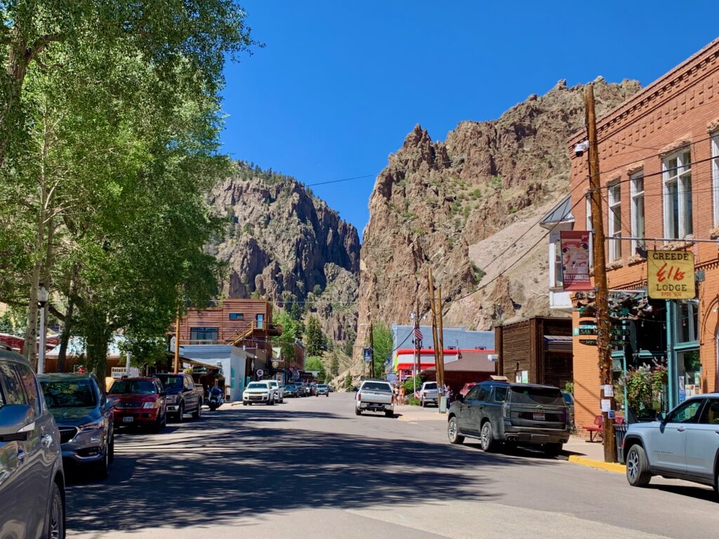
It was just getting light when I left Salida at 5:00 a.m., which put me into Creede a little before 7:00. I headed north on Creede’s Main Street and up West Willow Creek canyon past multiple mine sites, some abandoned, some still working.
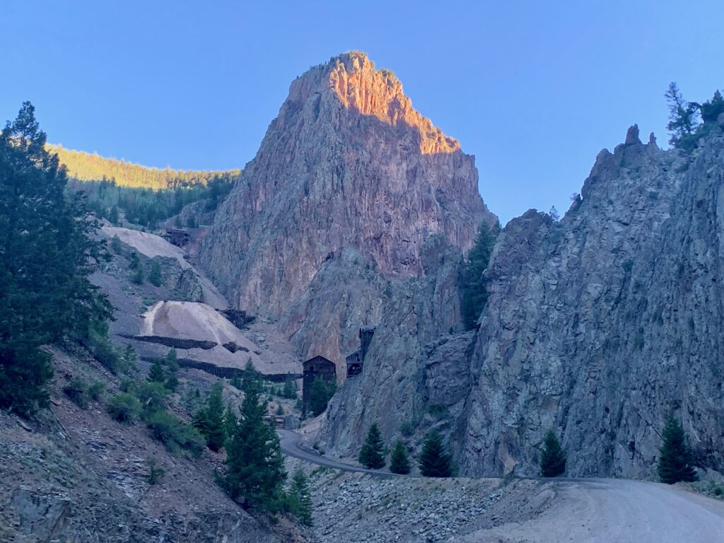
At the last mine, the road officially turns into a 4WD road. The road becomes seriously steep, narrow and rocky with several deep creek crossings and two tight switchbacks.
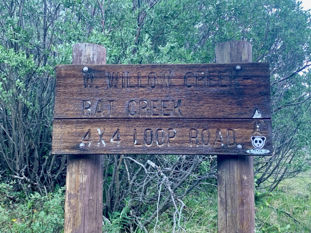
I was at the trailhead shortly before 8:00 a.m. The trailhead itself is unremarkable. There are no signs, no indication whatsoever that it’s the trail to San Luis Peak. Just a dirt path branching off the road at a tight left-hand turn. There are several pull-outs near this junction and two trucks were already parked there when I arrived.
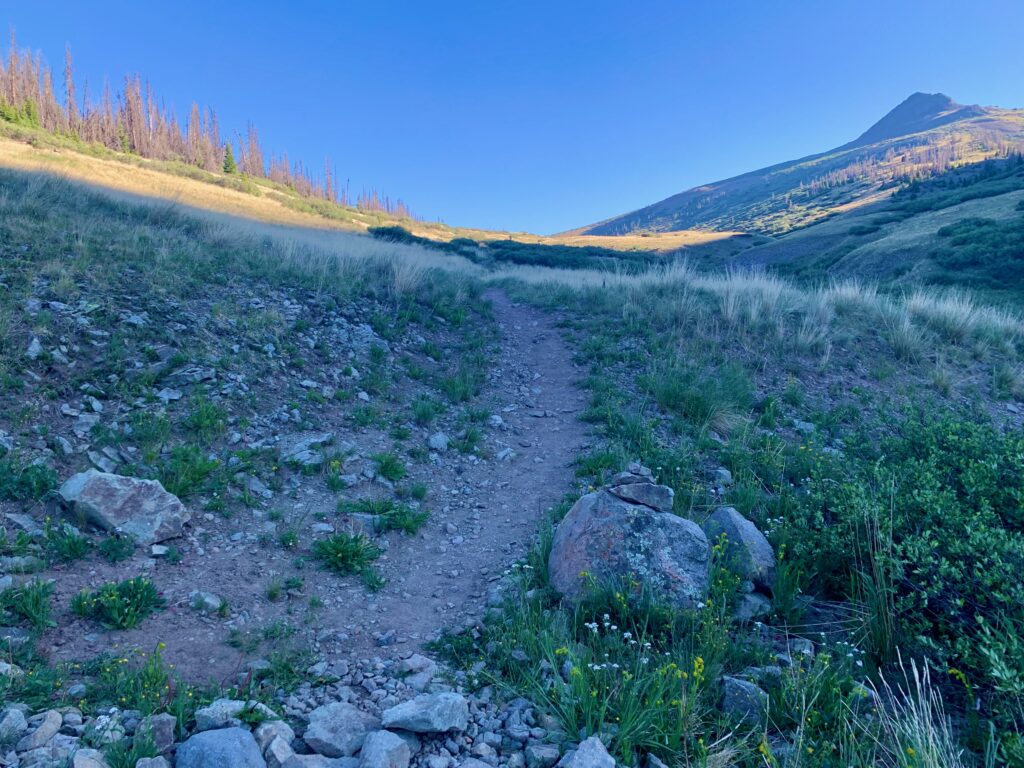
The only reason I could think of for the lack of signage is, this trail doesn’t take you directly to San Luis. It takes you to the Colorado / Continental Divide Trail (CDT) which takes you to lots of other places, one of them being San Luis. But still, surprisingly low-budget for a Colorado 14er. As I said, it’s like the Forest Service forgot about San Luis Peak.
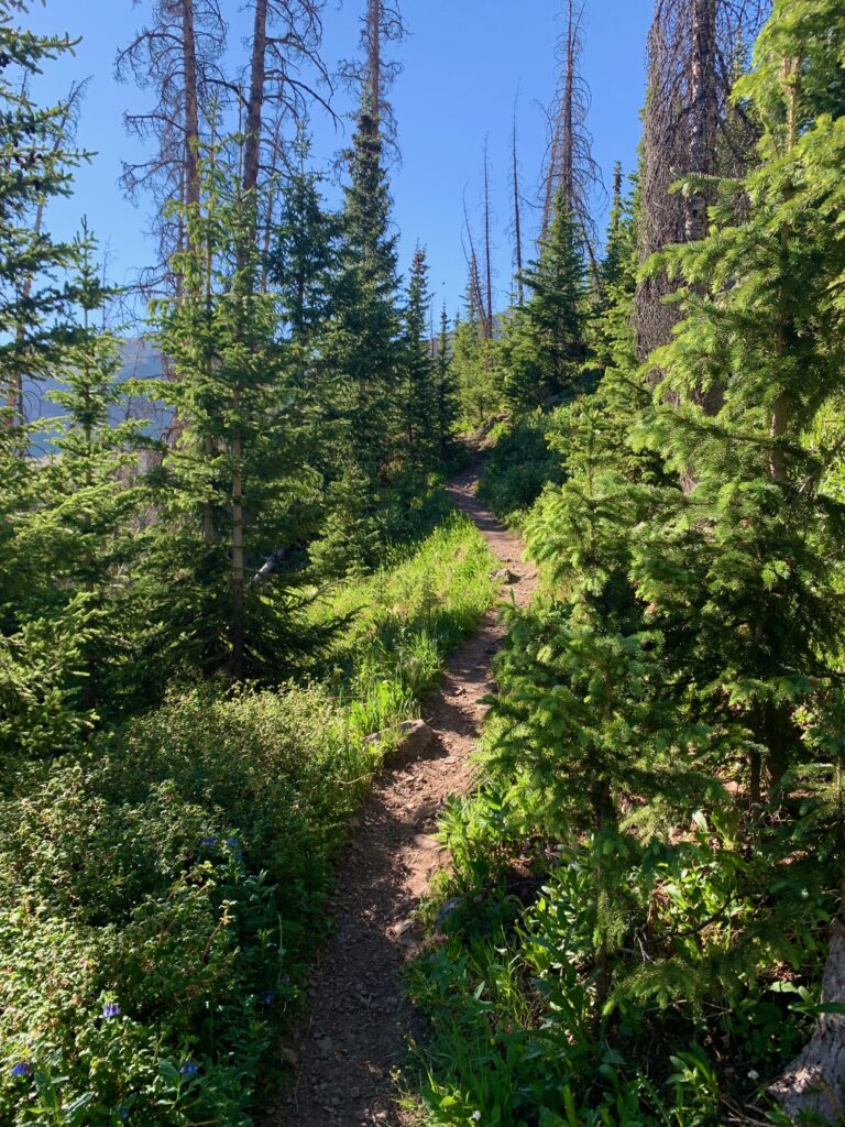
The route I was taking was the south ridge, the secondary route on the mountain. I chose the south ridge over the primary route, the northeast ridge, because it’s slightly shorter and it’s an easier drive to the trailhead from Salida. But what makes this route special is that instead of immediately climbing the mountain from the trailhead, you first traverse to it across two large alpine basins on the CDT. This makes for a more gradual ascent/descent than what is typical on a 14er, and involves a long, beautiful walk above timberline through two high-mountain meadows.
But first you have to climb out of West Willow Creek basin up and over the Continental Divide ridge line.
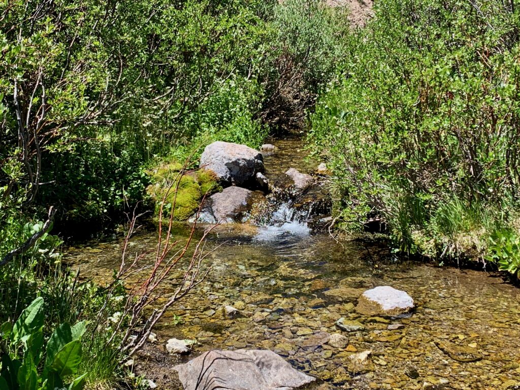
West Willow Creek was flowing nicely.
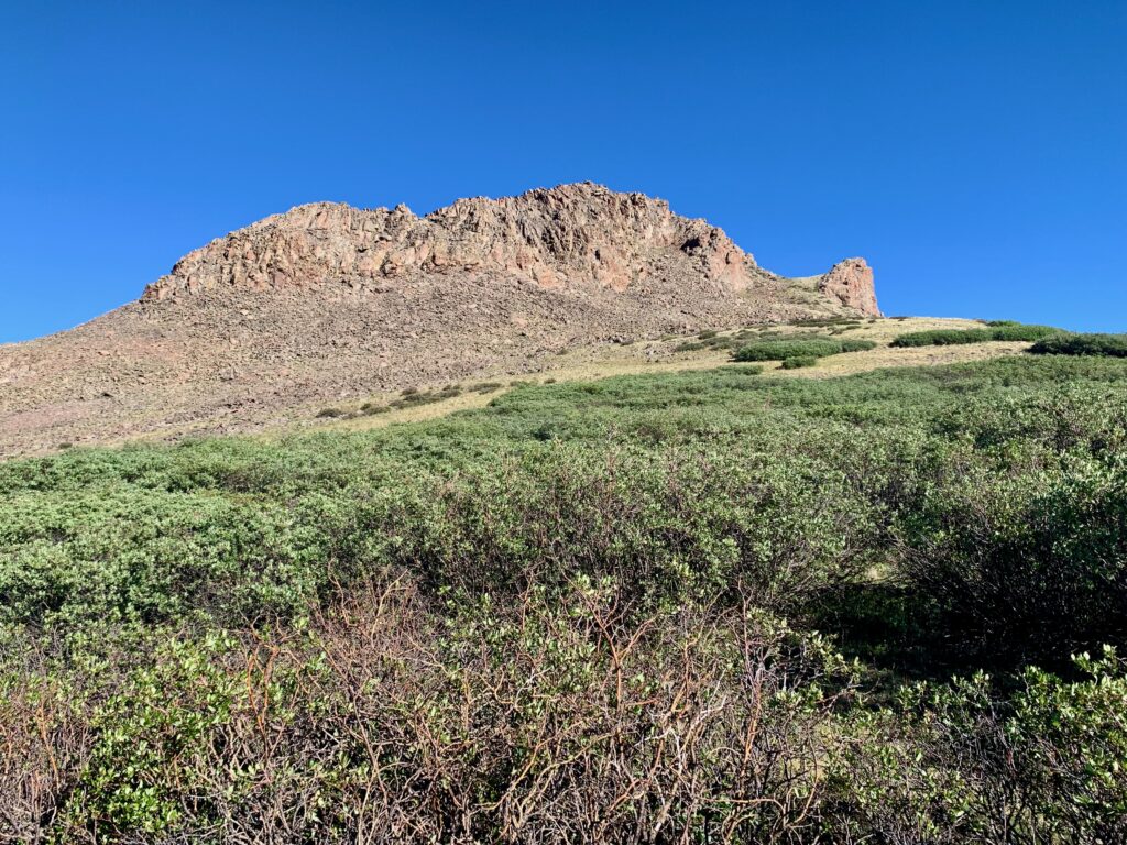
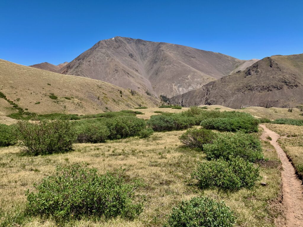
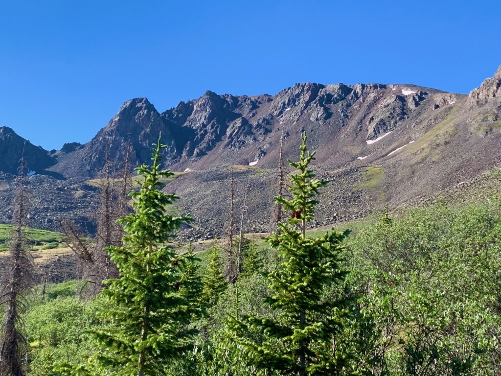
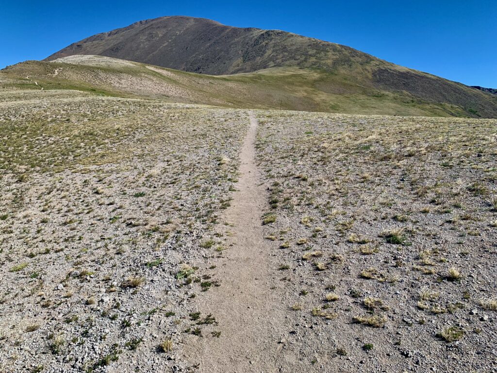
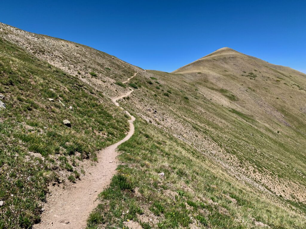
At the top of the ridge, San Luis Peak comes into view.
I descended the ridge and within a hundred feet a familiar sight came into view, the CDT. It was funny to think I could simply stay on this trail and walk all the way back to Salida. Well, I could, in probably a week or so. There are people who do that sort of thing every summer around here. Not me.
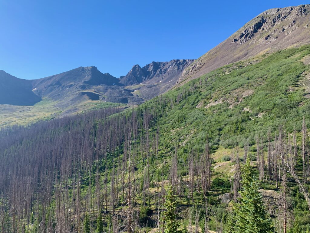
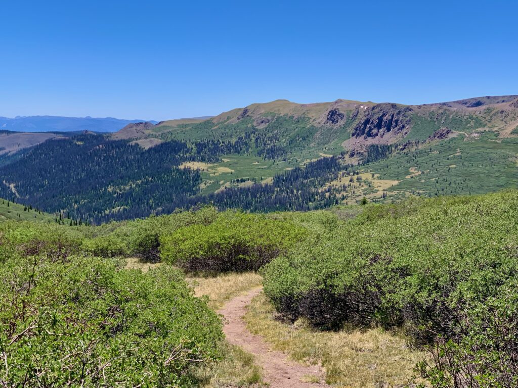
Dropping into the first basin, Spring Creek. The trail descends about 250 feet into a spruce stand that appears to be slowly recovering from beetle kill, then gradually climbs out into a meadow below some dramatic cliffs.
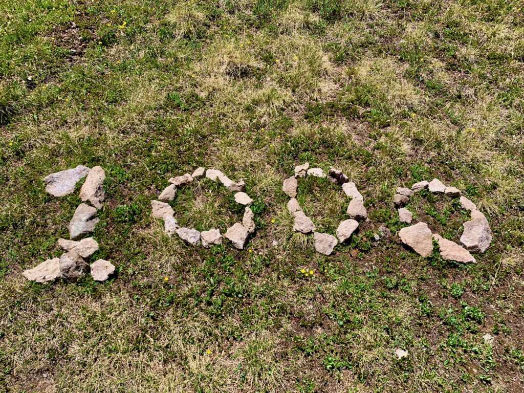
At one point, immediately next to the trail, someone has arranged some rocks to form the number 1,000. I stopped to ponder that for a few moments. How odd. What could it mean? It looked semi-official. Could it really be? Sure enough, when I got home, I checked the Continental Divide Trail website and found that the Spring Creek basin is the 1,000 mile mark from the start of the CDT on the U.S./Mexico border. Cool!
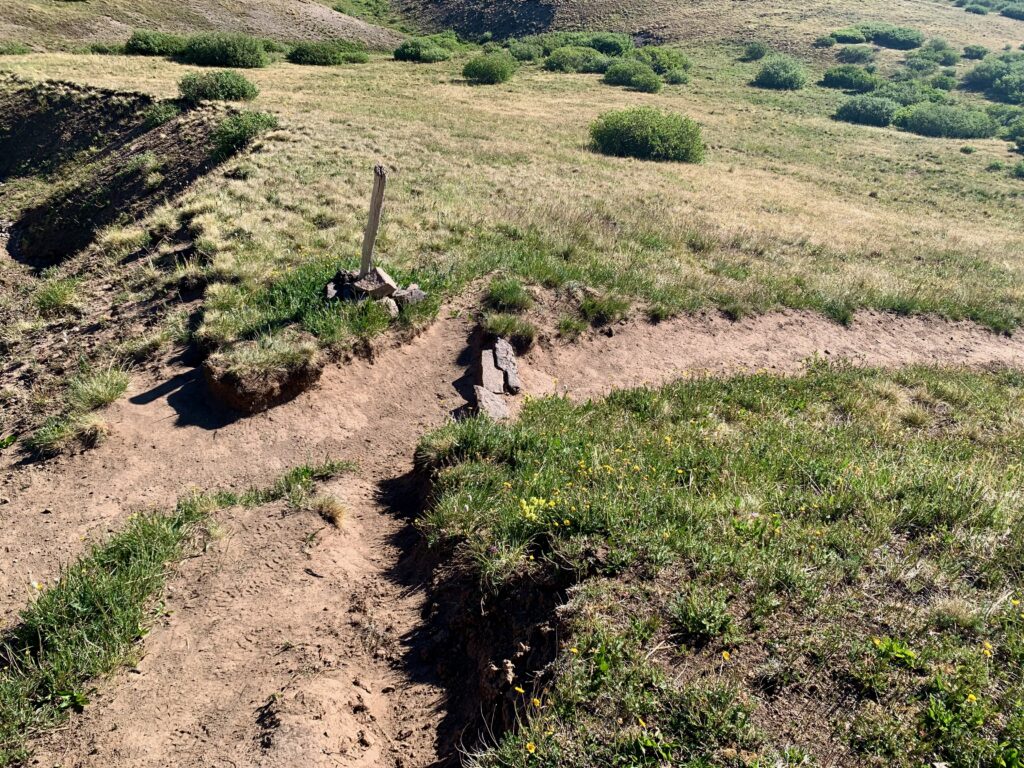
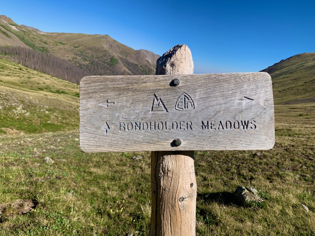
The east side of the basin has the odd name of Bondholder Meadows. I understand there used to be a trail intersection at this sign but no shoes have walked that trail in years and it was long gone. Left undisturbed, Mother Nature has a way of reclaiming what’s hers.
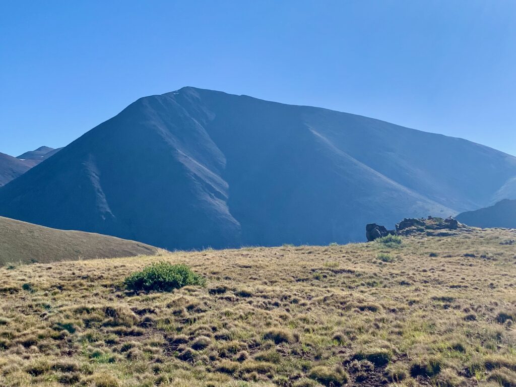
Climbing out of the Spring Creek basin to the second ridge.
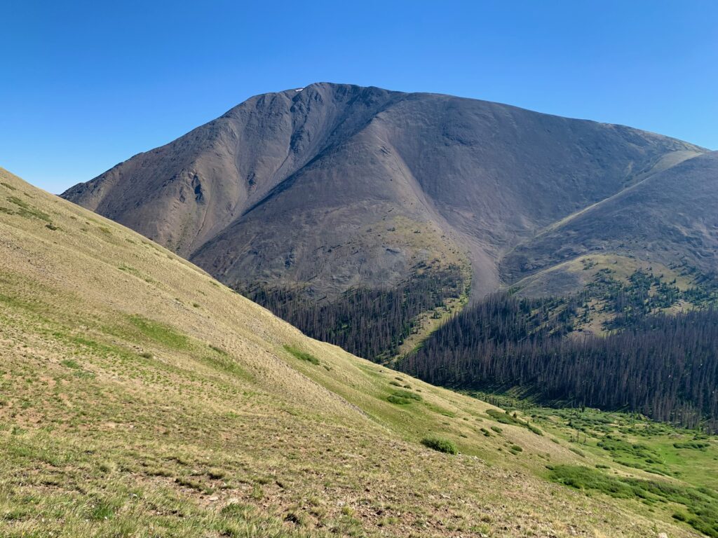
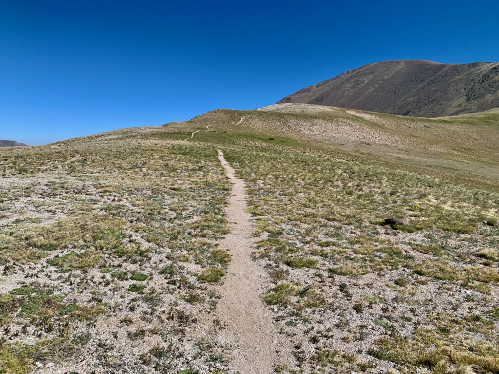
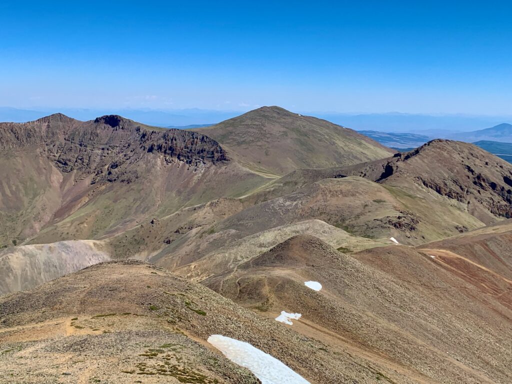
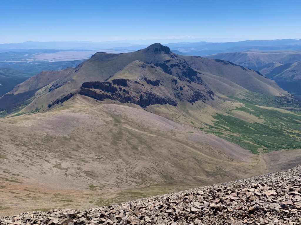
From the top of the second ridge San Luis looms large.
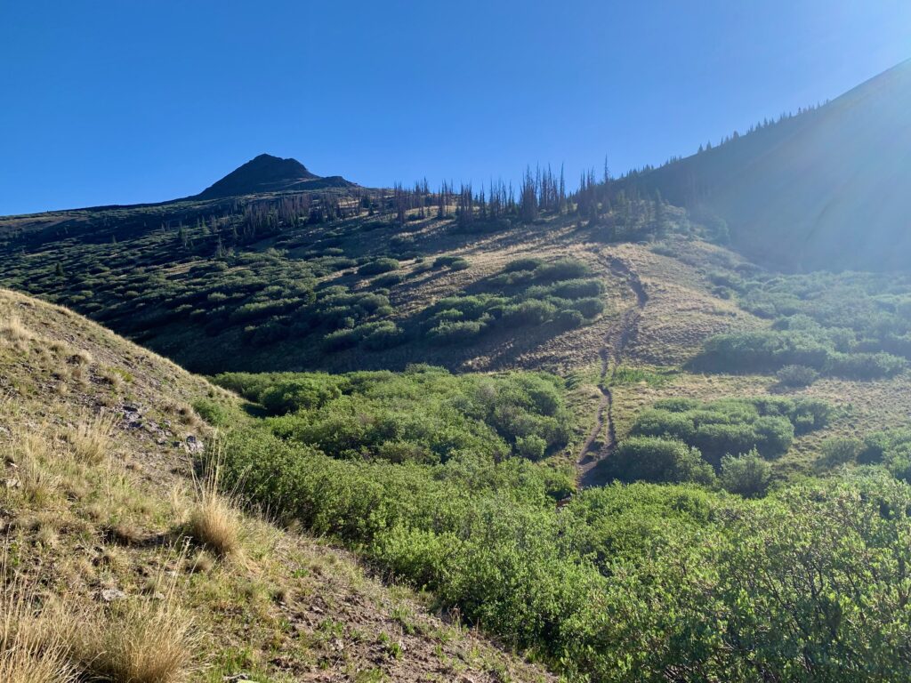
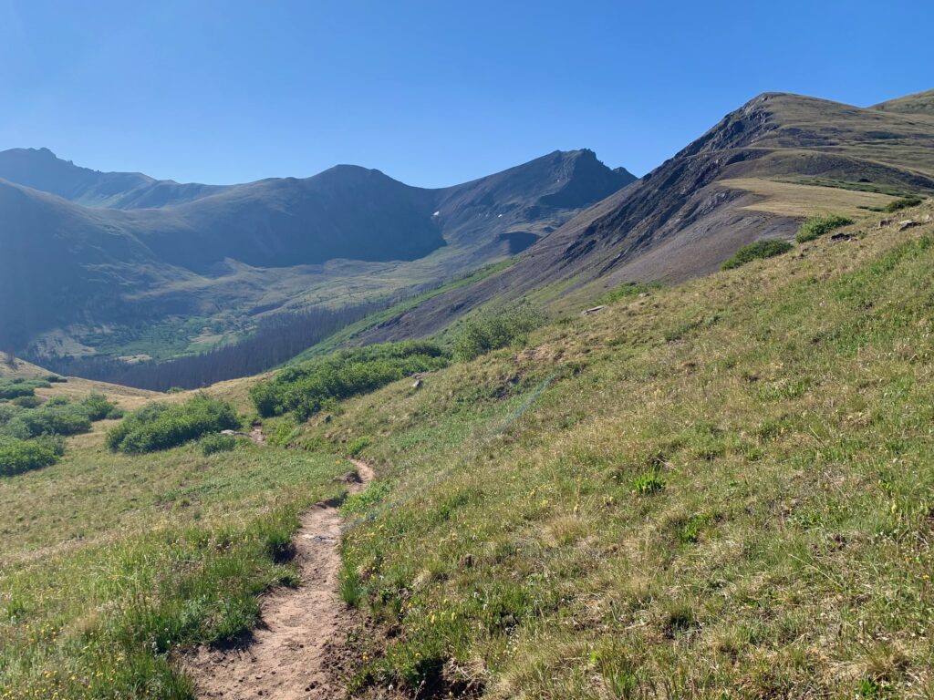
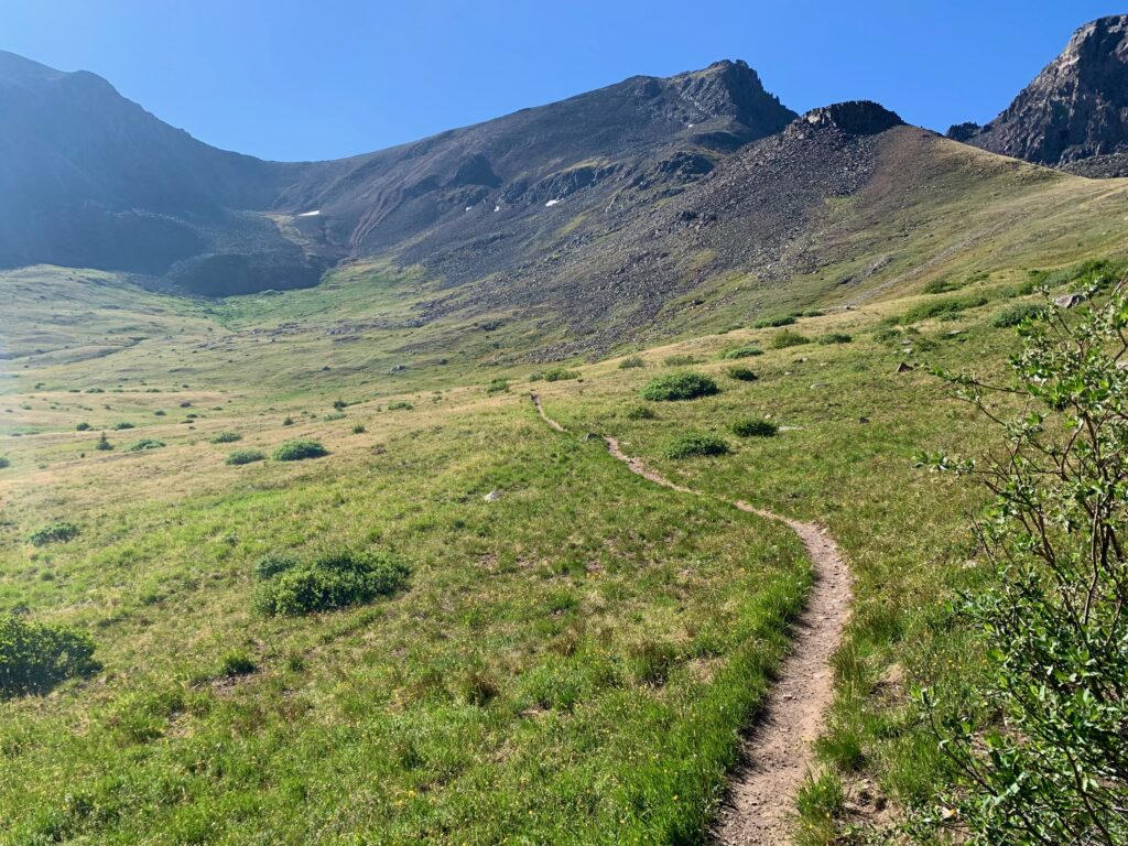
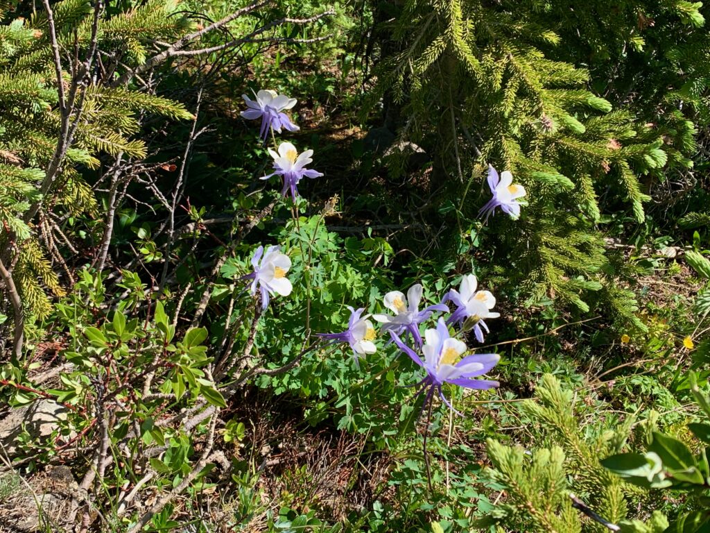
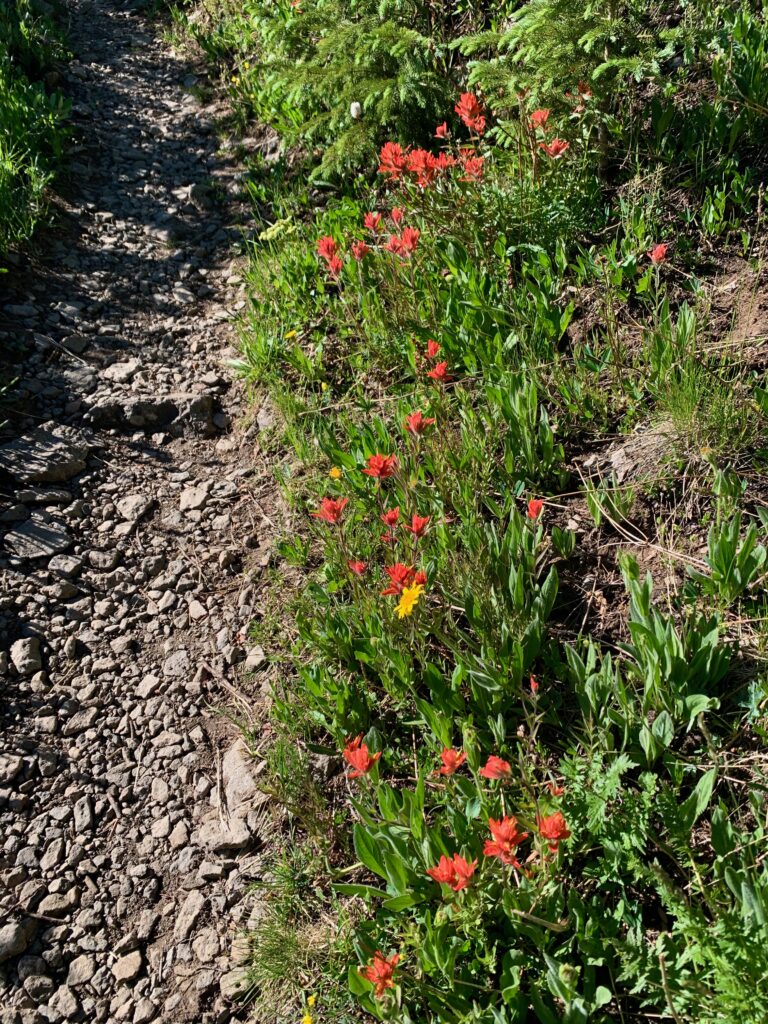
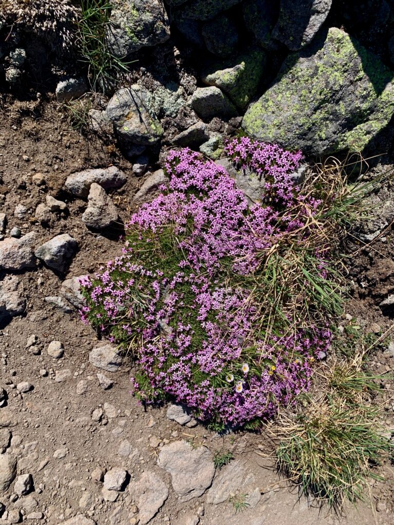
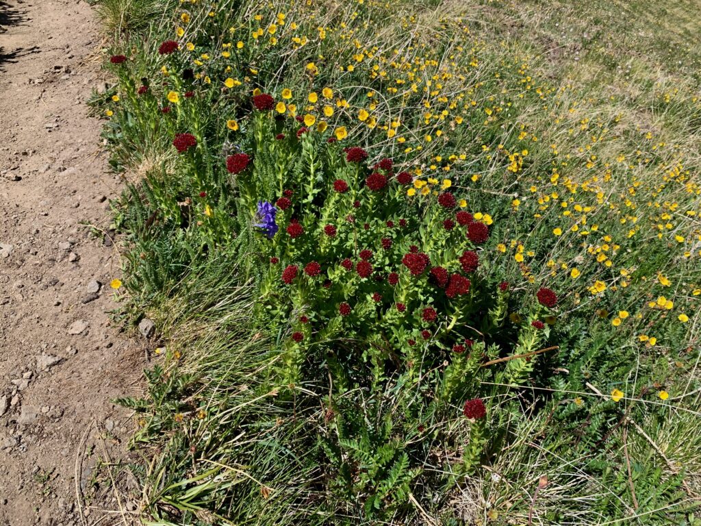
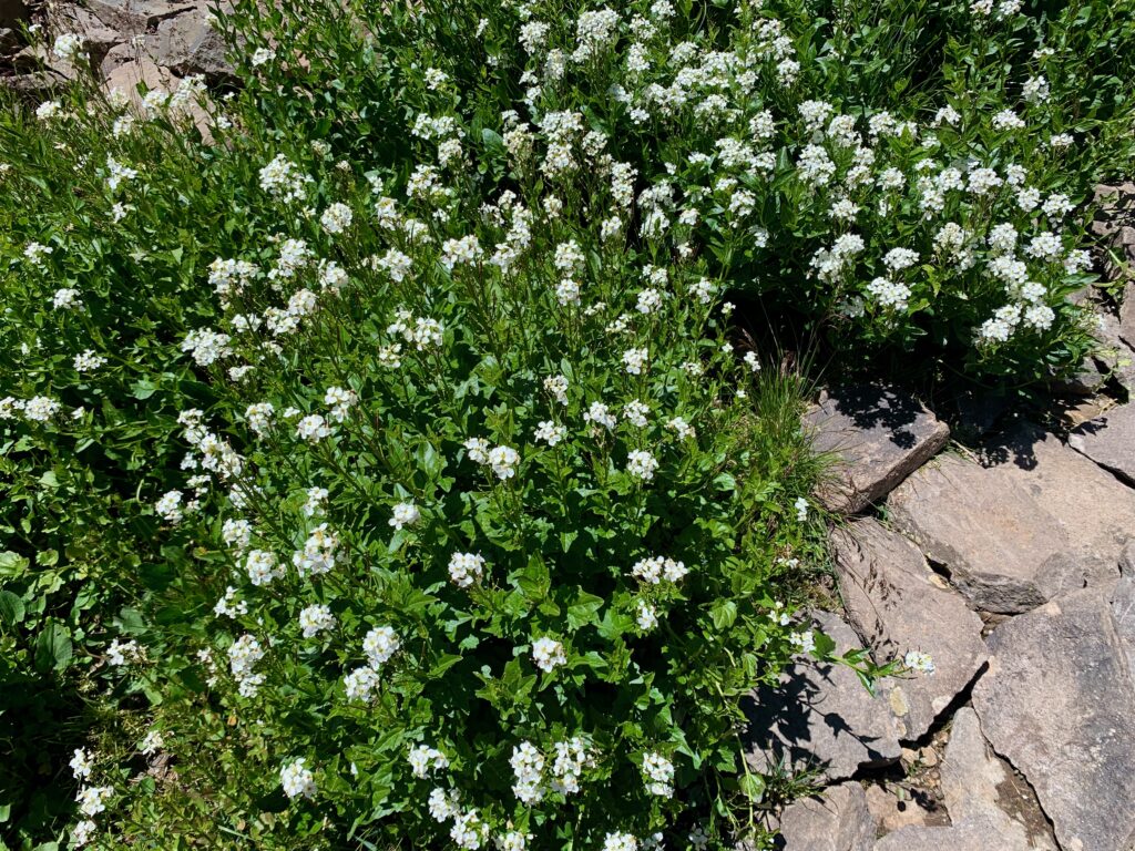
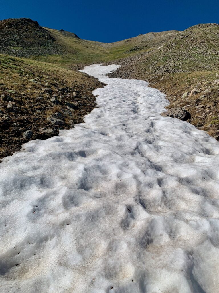
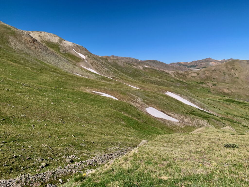
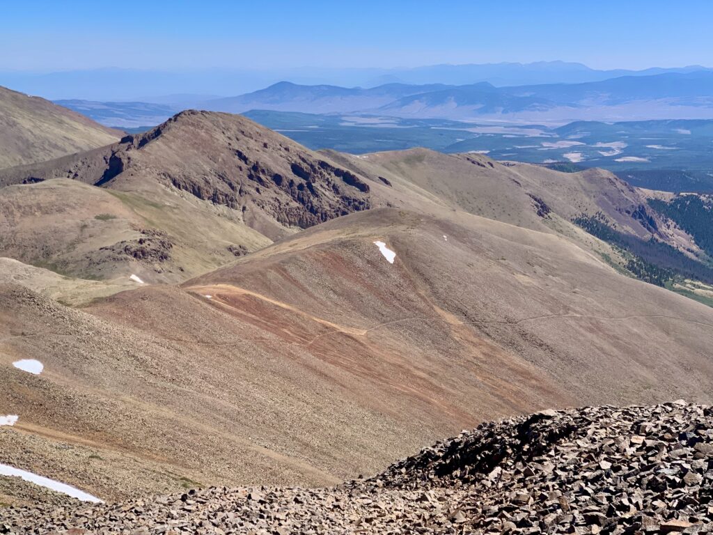
The second basin doesn’t have a name. It’s wide-open, above-timberline hiking. The trail elegantly contours around the basin perimeter, never gaining or losing much altitude, passing through patches of wildflowers and across a few remaining snowfields.
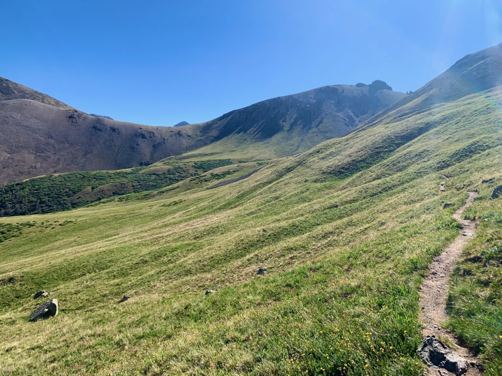
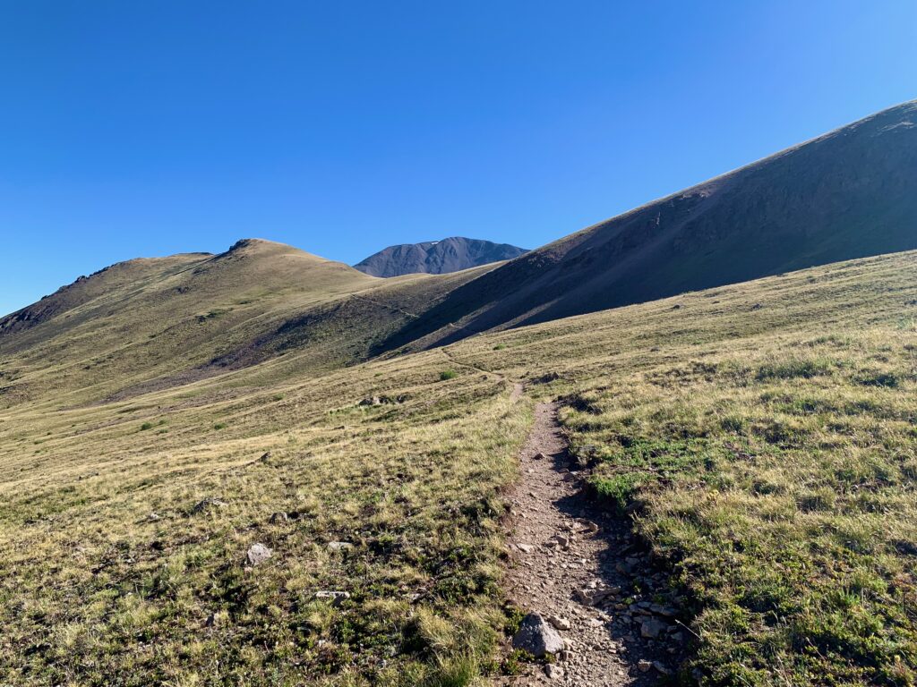
On the eastern side of the basin, the trail climbs up a third ridge to finally intersect with the San Luis south ridge trail. This is where the real climbing begins.
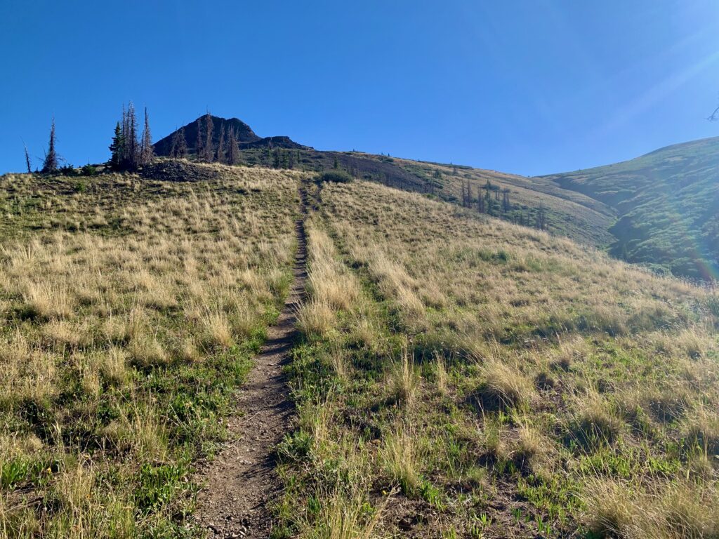
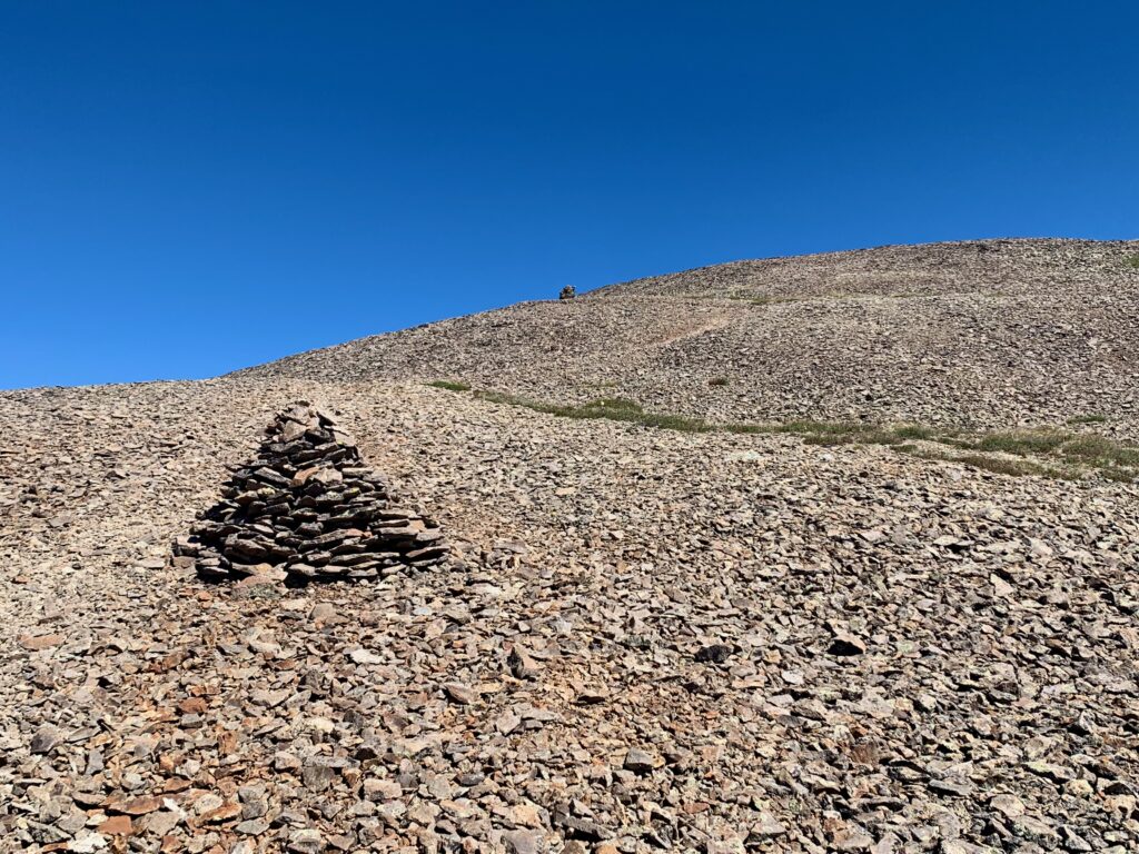
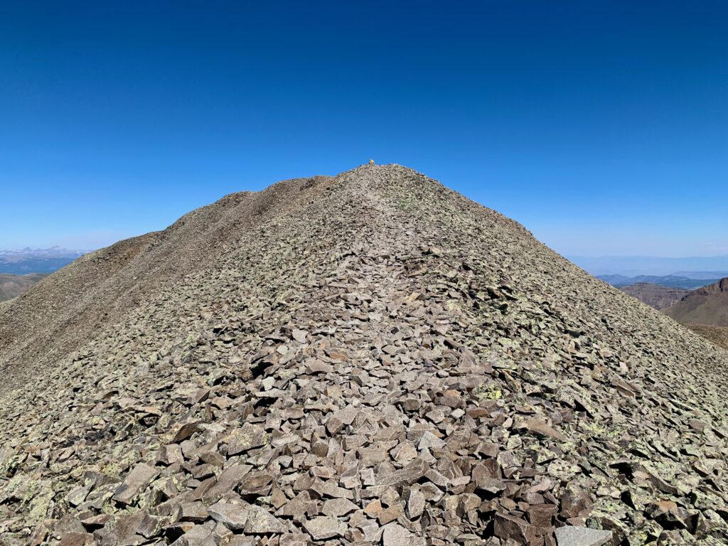
Starting up the south ridge trail.
The trail is well-cairned and easy to follow. But lord, it was windy. There had been a light breeze blowing at the start of the day but in the basins, it had been mostly calm. On the south ridge the wind was howling. I’m not the best judge of these things but I’d guess a steady 25 – 30 mph, with gusts much stronger. Enough to knock me off my feet several times. The ridge is wide and gradual so there was no danger of getting blown off a cliff or anything, but it was an effort to walk in a straight line and there was a constant risk of mis-stepping on the rocks, twisting an ankle, or banging a shin.
Looking up the trail, I could see two groups of two ahead of me. I caught one, a couple of women, who stopped momentarily behind a rise to get out of the wind. I followed the other two to the top.
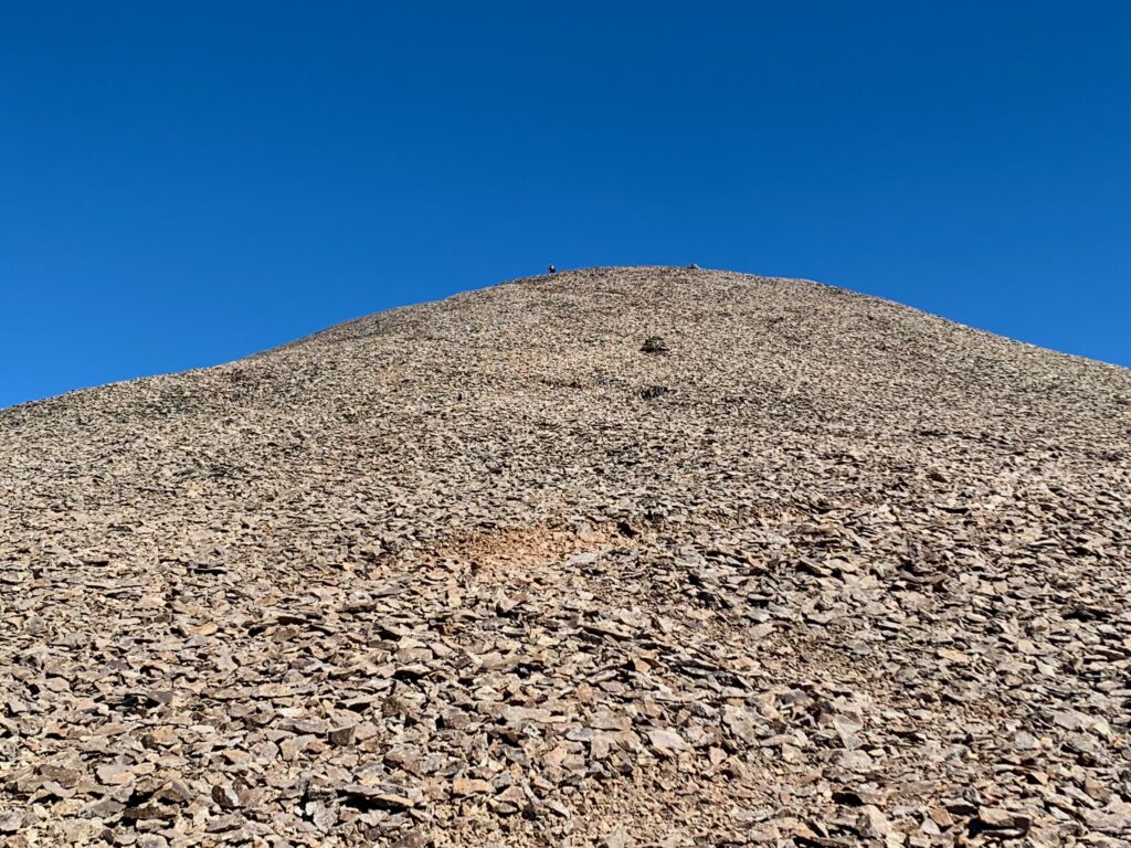
Almost there.
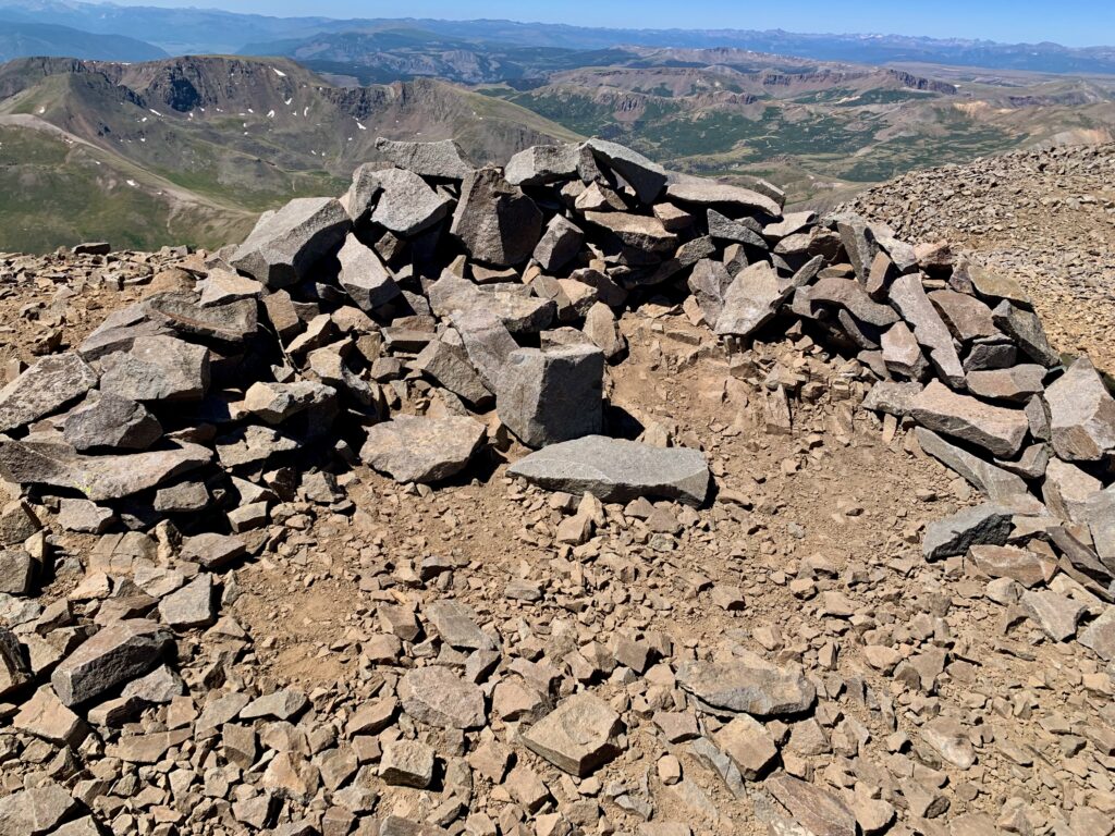
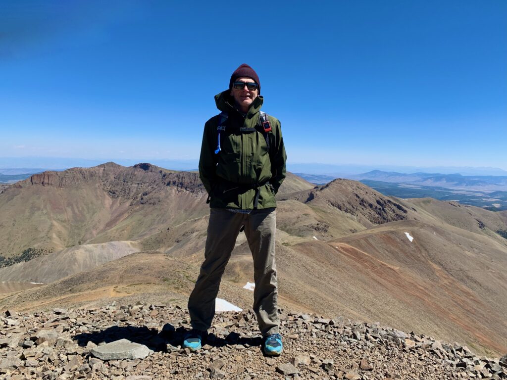
Summit of San Luis. Much to all of our amazement, the wind was much lighter on top. Like on my hike of Mt. Ouray last year, we essentially climbed out of the wind! It was sunny with just a light breeze on top.
Looking southwest and west over the rest of the San Juans.
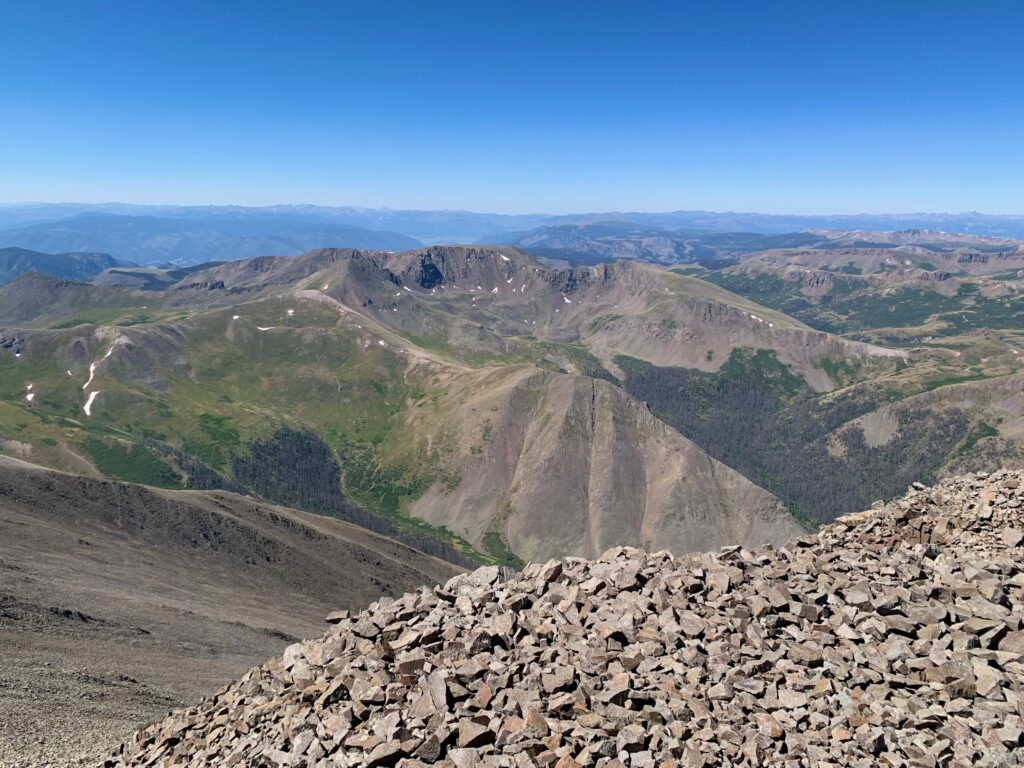
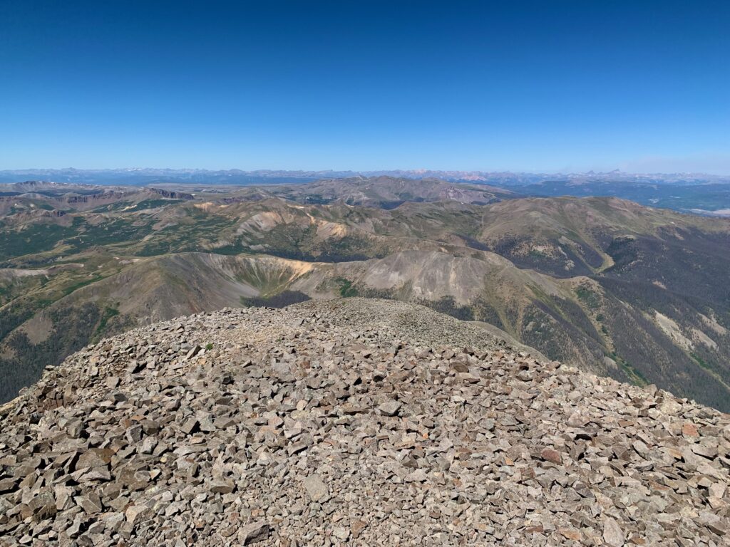
Northwest, the unique shapes of the Wetterhorn and Uncompahgre were easy to pick out on the horizon. Smoke from the Gold Mountain fire near Ouray could be seen behind them.
Directly north are 13ers Column Ridge, Stewart Peak and Baldy Alto.
Looking over the north edge of the summit, you can see the northeast ridge trail coming up from below.
The rugged Organ Mountain directly east.
There were five of us on the rather small summit. I had followed a father-daughter team up. They were staying in Lake City and had climbed Uncompahgre the day before. The two women I’d passed came up shortly behind me. Within a few minutes we were joined by a sixth, a solo hiker from Gunnison who had come up the northeast ridge route.
We all ate lunch, chatted a bit, snapped a few photos and marveled at the fact that we all had cell service. On most mountains I rely on satellite text via Garmin inReach to check in. This time I could actually make a call. It was nice to hear a voice from home on the top of a mountain in the middle of the backcountry.
The return hike was uneventful except for having to fight my way back through the wind tunnel that was still raging from around 13,800 feet down to the saddle at 12,600. Below that it was, once again, a light breeze.
Usually, the down hike is the hardest part of any 14er climb for me. Miles of constant downhill pounding on hips, knees, feet and toes is rough on my age-challenged frame. What makes San Luis nice is, once you’re off the south ridge, most of the rest of the hike is the gentle ups and downs of the CDT. Yes, that means there are a few climbs to get back to the car but they’re mostly gentle and, for the most part, a welcome ergonomic change of pace.
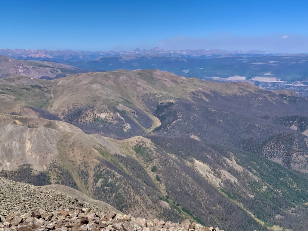
View of West Willow Creek basin from the Continental Divide before starting the final descent back to the car.
It was another great day in the mountains. The round-trip hike took me just under six hours. A full day without seeming like a marathon. I was happy I’d ultimately remembered San Luis Peak and that I got to spend the day in the beautiful La Garita wilderness.