It’s been a strange week in Colorado. After weeks of cloudless skies and temperatures in the 80s, everyone around here was beginning to think we were looking at the start of a long, dry summer.
Then the clouds rolled in, the temperatures dropped and snow began to fall. Which is not that unusual for May, except that it continued to fall for four days straight. Heavy, wet spring snow mixed with rain.
And the thing is Colorado is a dry place, so when the sky drops precipitation of any kind you don’t complain because it’s liable to be months before you see another drop. We were definitely glad to see the moisture but as it just so happens, the change in weather corresponded with a planned visit by an out-of-state friend. It’s hard to show someone all the great things to do outdoors in your town during a blizzard.
We had planned a rafting trip for Tuesday but had to move it to Wednesday after it became clear the snow wasn’t stopping. Wednesday morning came and we woke to clearing skies and warming temperatures. The raft trip was a go!
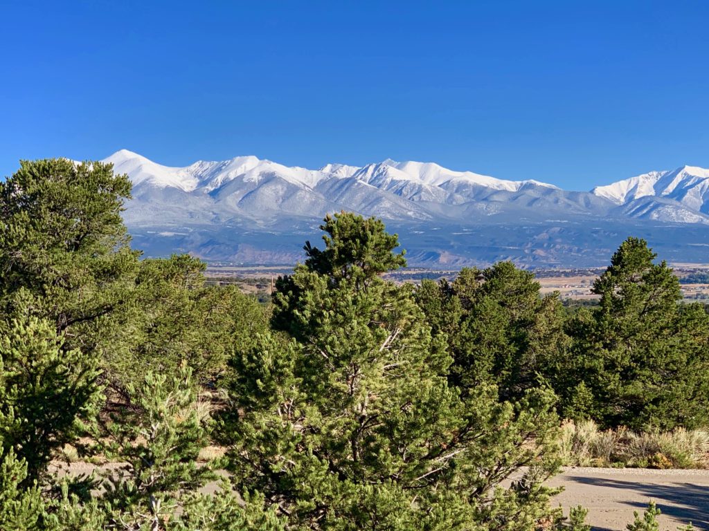
The last of the clouds clearing out of Salida. In town, warming temperatures ending in rain melted the last of the remaining snow.
But the clearing skies revealed the high mountains sporting a mid-winter blanket of white against a clear blue backdrop.
Now I said warming, not warm. As in 40 degrees. The thought of splashing around in the river on a 40-degree morning seemed ridiculous at best but we had a guest to entertain and we were on a mission to do just that, dammit, so we weren’t going to be deterred.
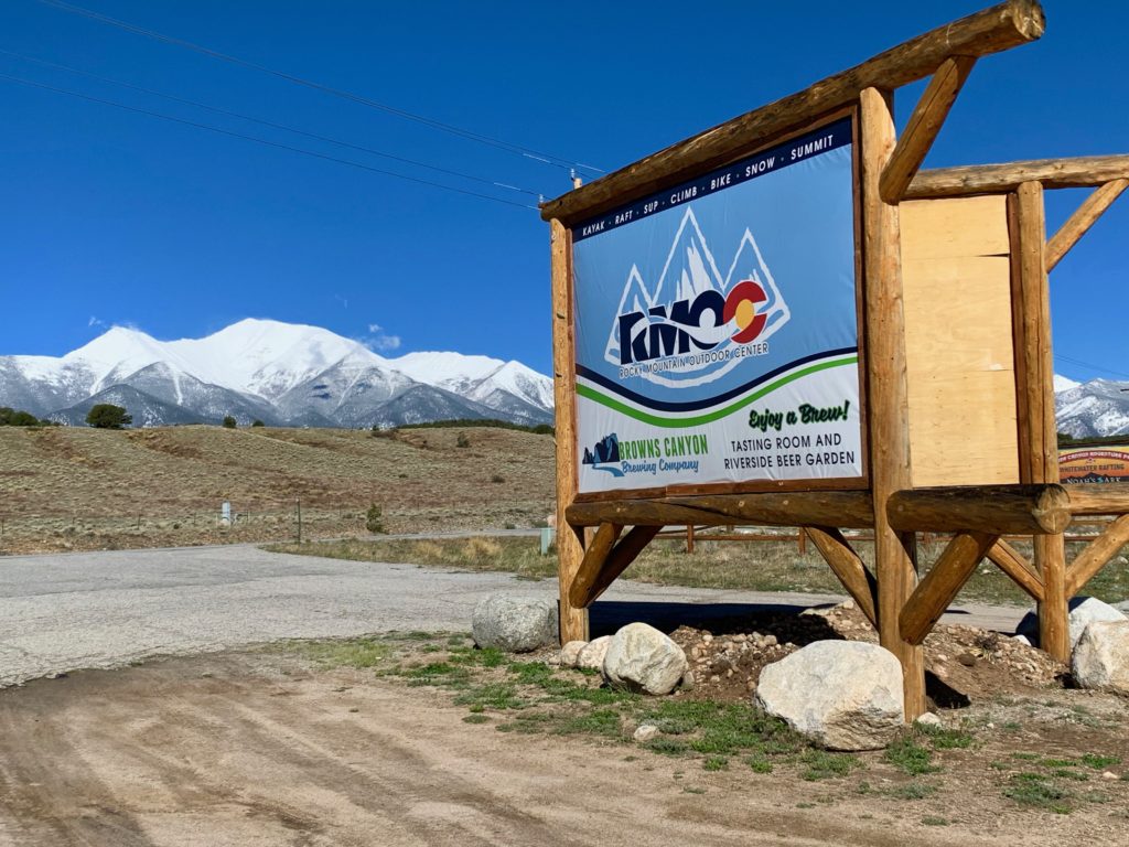
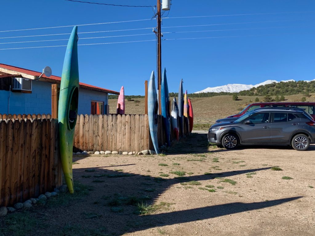
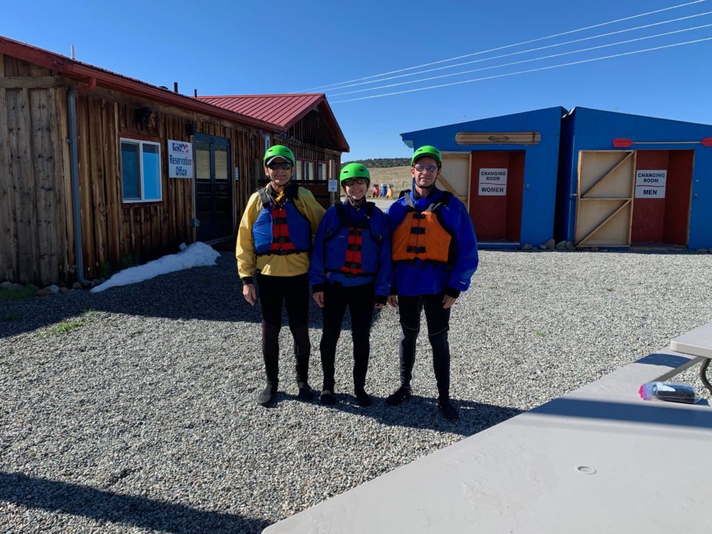
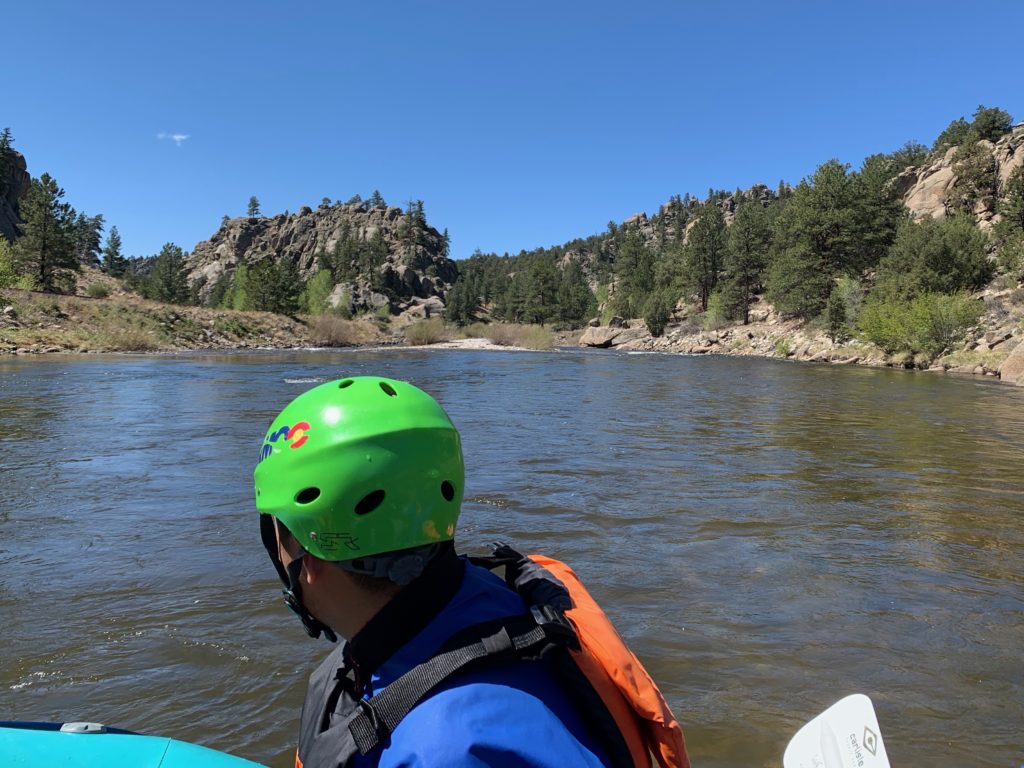
Our destination was Brown’s Canyon National Monument on the Arkansas river between Salida and Buena Vista. The good folks at Rocky Mountain Outdoor Center were our guides for the day and they fixed us up with garb and equipment to fit the brisk conditions: wet suits, water shoes, waterproof jackets, life jackets and helmets.
River dorks.

RMOC guides readying our craft.
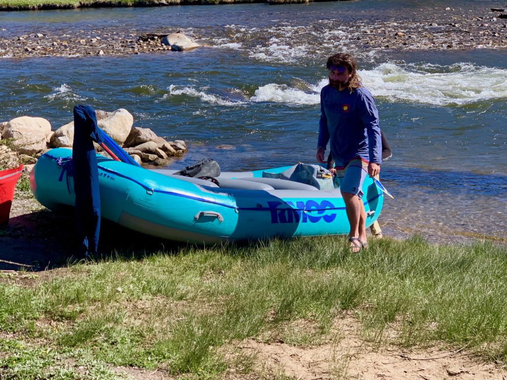
Put-in point.
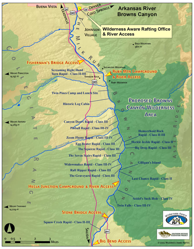
Our route for the day was north to south from just below Fisherman’s Bridge to Hecla Junction, a distance of about nine miles.
According to RMOC, Brown’s Canyon is an intermediate-level raft trip, featuring mainly class II & III rapids. Before we loaded into the boat our guide quickly and rather casually went over what that means in terms of our personal safety. Here’s my interpretation:
Class I – Smooth water. You won’t get wet. You won’t spill your beer. If you fall out of the boat, you’re stupid.
Class II – A few small obstacles. You might get wet. You might fall out of the boat reaching for a beer.
Class III – Lots of larger obstacles. You’re going to get wet. Put away the beer and hold on. You fall out of the boat you’re going to get hurt.
Class IV – Lots of large obstacles, drops and tight passages. You feel like you need a snorkel. Be ready to paddle hard. You fall out of the boat, you die.
Class V – An extended waterfall with waterfalls. You better know what you’re doing. You fall out of the boat, they never find you.
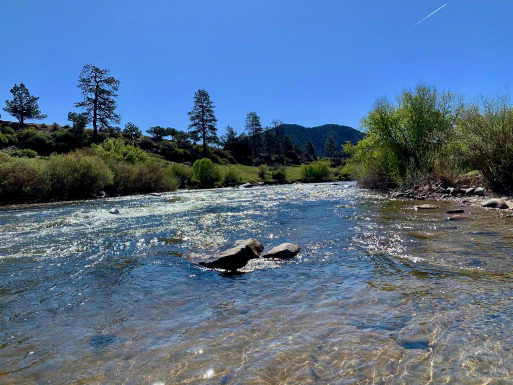
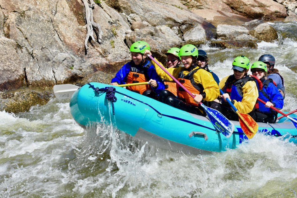
Entering Brown’s Canyon
Getting our yeehaws in Zoom Flume.
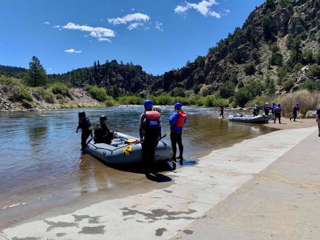
Taking out at Hecla Junction.
It ended up being a truly picture-perfect day for a raft trip, made even more amazing by the difference from the cold, wet weather of the previous four days. No one was lost, no one went overboard and everyone had a good time. I believe that’s success in the rafting world!