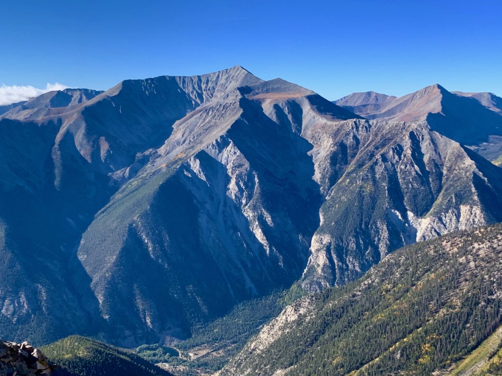
I generally like to start these mountain climbing posts with a picture of the subject mountain, just to give you, dear reader, an overview more or less, of what I’m talking about. I usually snap these pictures in the morning during the approach or after the climb on the way out, depending on where I can get the best shot of the entire mountain. For this post, a climb of Mt. Antero, the best photo I have was taken a couple of weeks ago when I was standing next door on Mt. Princeton. It’s a nice shot and I’m not too proud to recycle, so I present to you, once again, Mt. Antero.
Living in Salida, the southern Sawatch range is always in view. Beautiful. Massive. Iconic. Pick your adjective. But as someone who likes to climb, it’s also a bit of a source of provocation. I’ve climbed most of the 14ers in view with the exception of Mt. Antero and as time has gone by and I’ve picked off the surrounding peaks I imagine Antero sitting there every day taunting me:
Why haven’t you climbed me? Chicken?
No, just not interested.
You’re chicken, bawk, bawk.
Please, Antero, you’re beautiful but you’re boring. A road almost all the way to the top? C’mon how much fun is that?
You’re yella!
You see, Mt. Antero is famous for gem mining: aquamarines, tourmalines, topaz and quartz. Not back in the 1800s, now. Present day. There even used to be a reality show on the Weather Channel about it:
Because of the mining there is a network of roads all over Antero including one that goes up to 13,700 feet, just 600 feet short of the summit. The standard route to climb Antero is this road. It’s a rough, dangerous 4WD road and while fun for ATV and Jeep enthusiasts, from a hiker’s standpoint hiking on a road is just not the same as hiking on a trail.
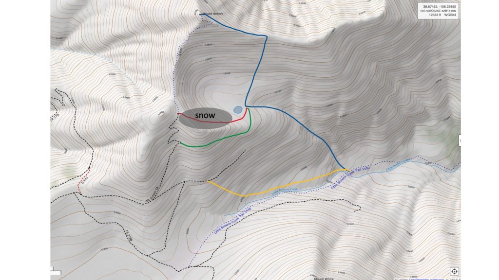
But fortunately, unlike Princeton which has basically one route to the summit, Antero has several different ways to get to the top. From previous hikes I was familiar with one of these, the less-travelled approach from the east via Little Brown’s creek. But even from that direction the route has a fair amount of road walking near the top. So I decided to consult my guide book, written by the master of the mountains, Gerry Roach. Lo and behold, he describes a route, a variation on Little Brown’s Creek that completely avoids all the roads on Antero. In his book he calls this variation “Tarnacity”. Interesting. He describes the route as shorter but steeper than the standard Little Brown’s Creek route so my plan was to use this variation for the climb and then return via the standard LBC route, a round trip of approximately 15 miles.
This would also satisfy one of my other goals, testing myself on a longer hike. Up until now my longest 14er hike was around 10 miles and I wanted to know how I’d handle something longer.
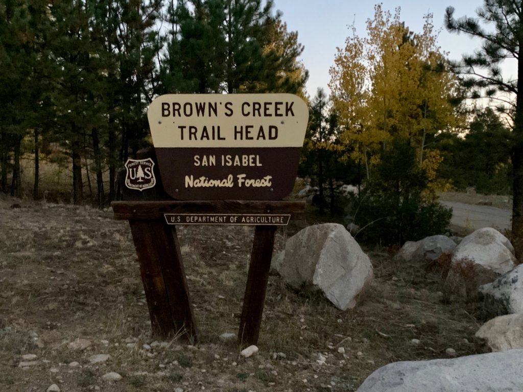
I started from the popular Brown’s Creek trailhead on Forest Service Road 272. Anticipating a long day, it was boots on the ground at 6:30 just as the sky was turning light. There was only one other car in the parking lot.
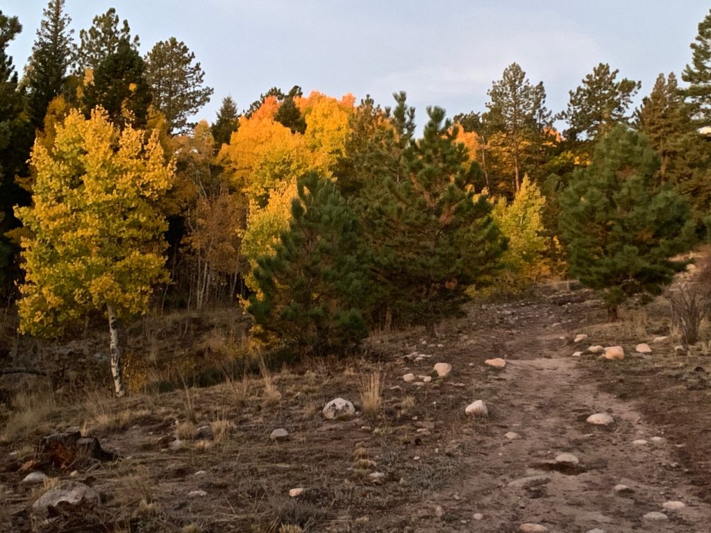
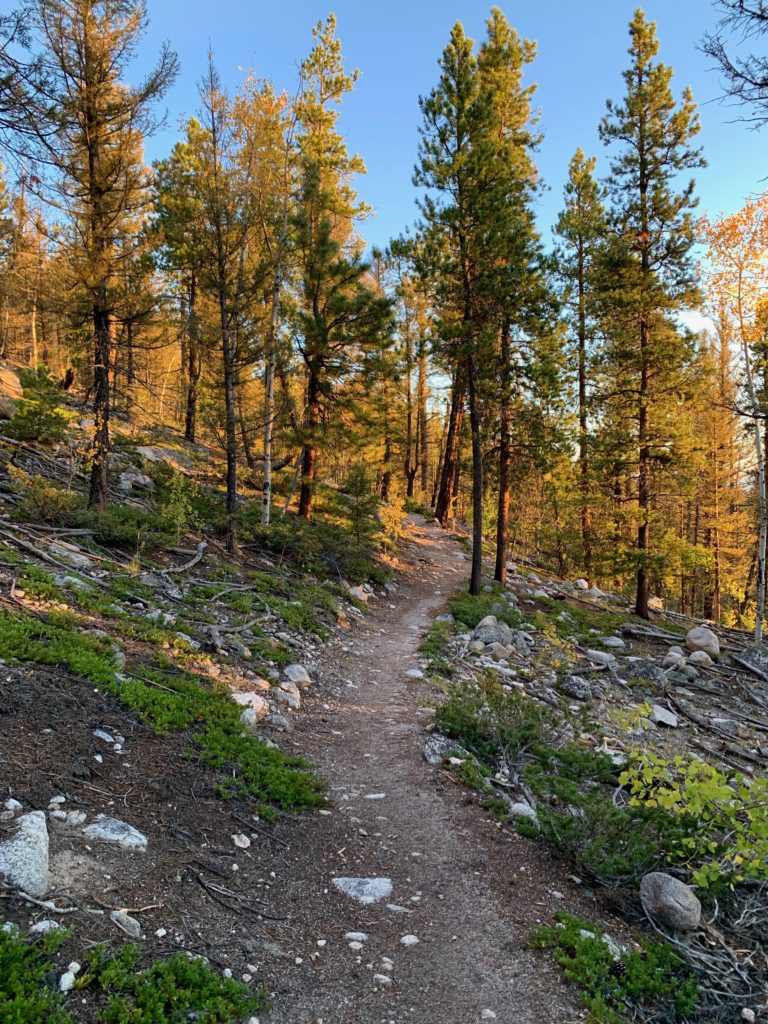
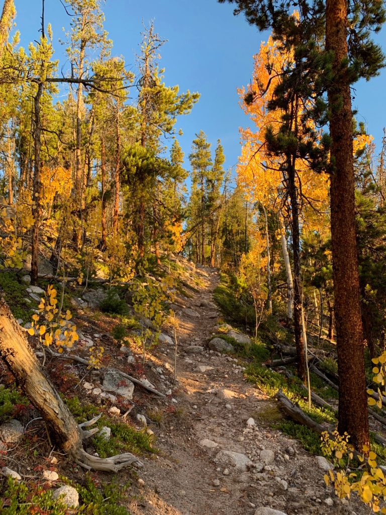
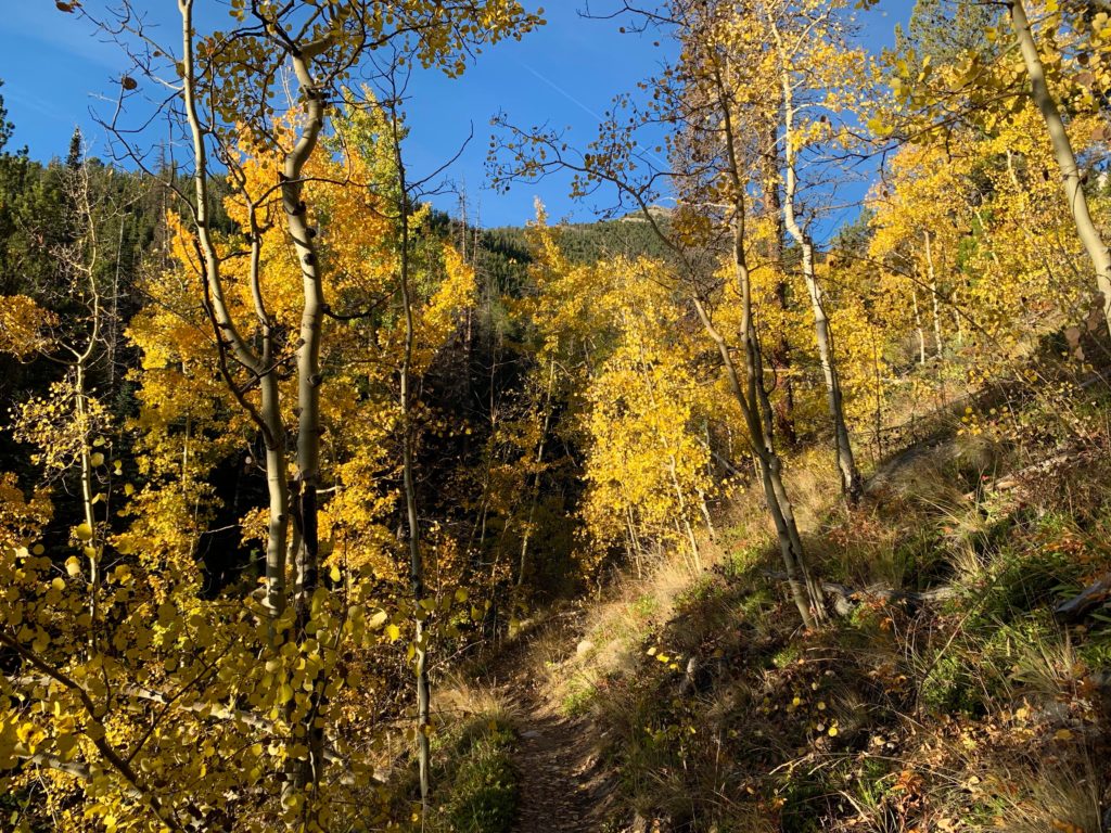
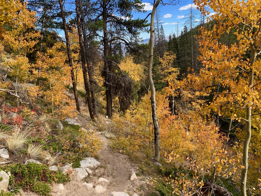
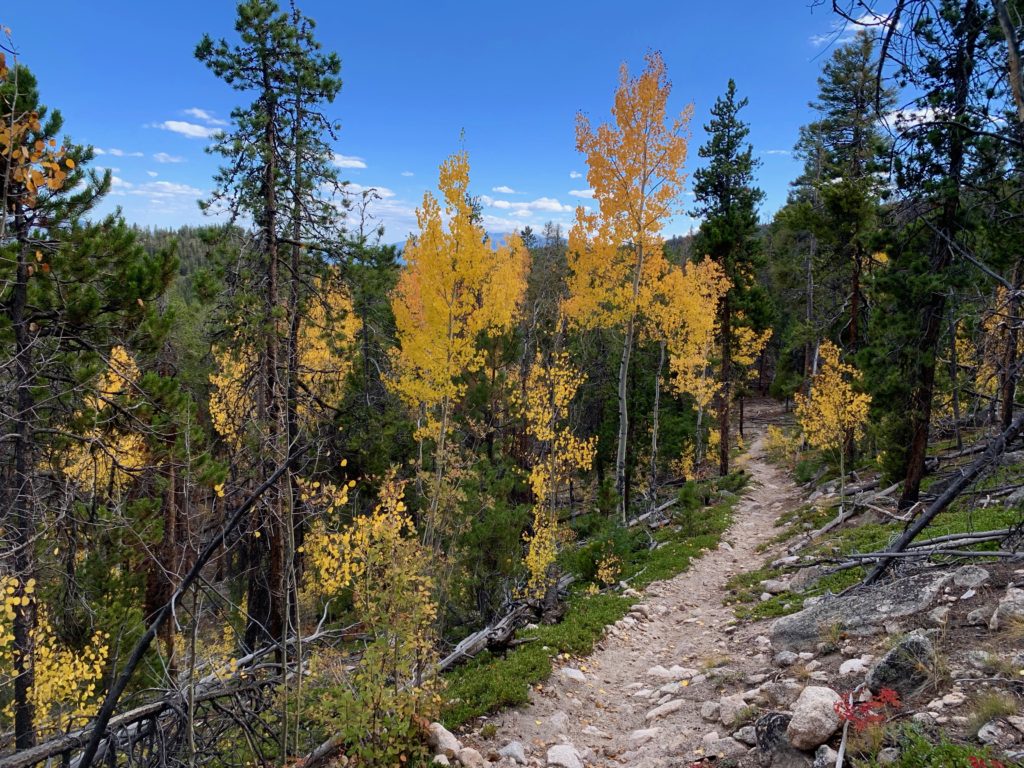
Even in the diffuse morning light I could tell that not only was this going to be a 14er climb, it was also going to be a pretty spectacular aspen viewing day.
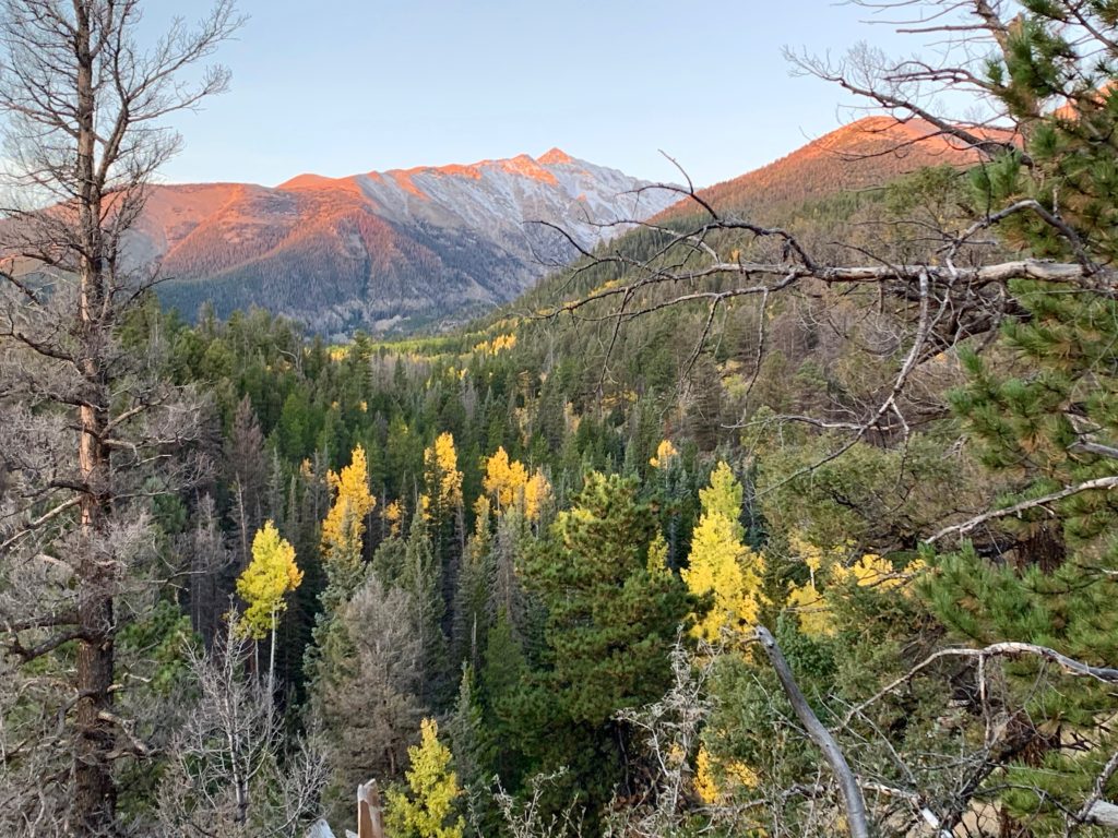
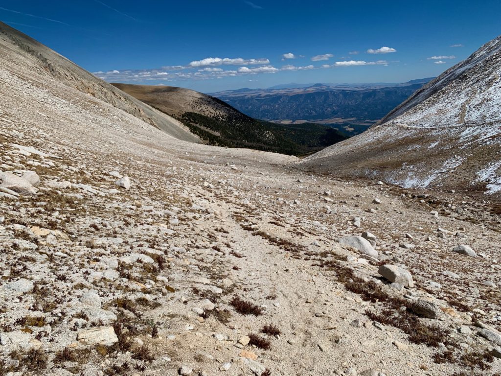
To get to the LBC trail, take the Brown’s Creek trail 1.5 miles west to the Colorado Trail, take a hard right and head up the hill.
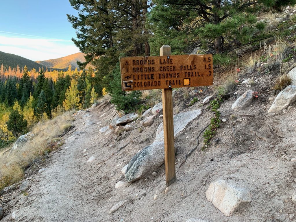
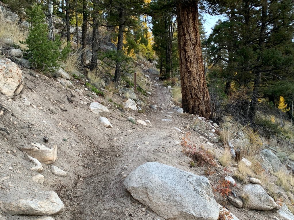
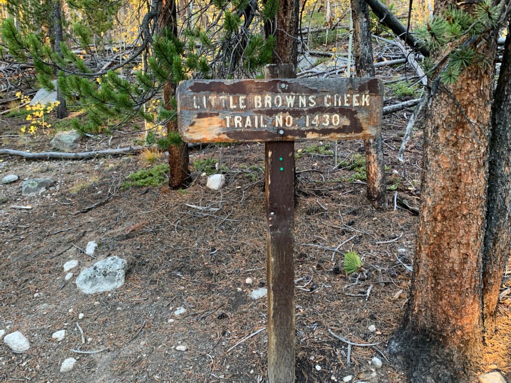
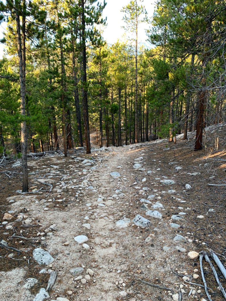
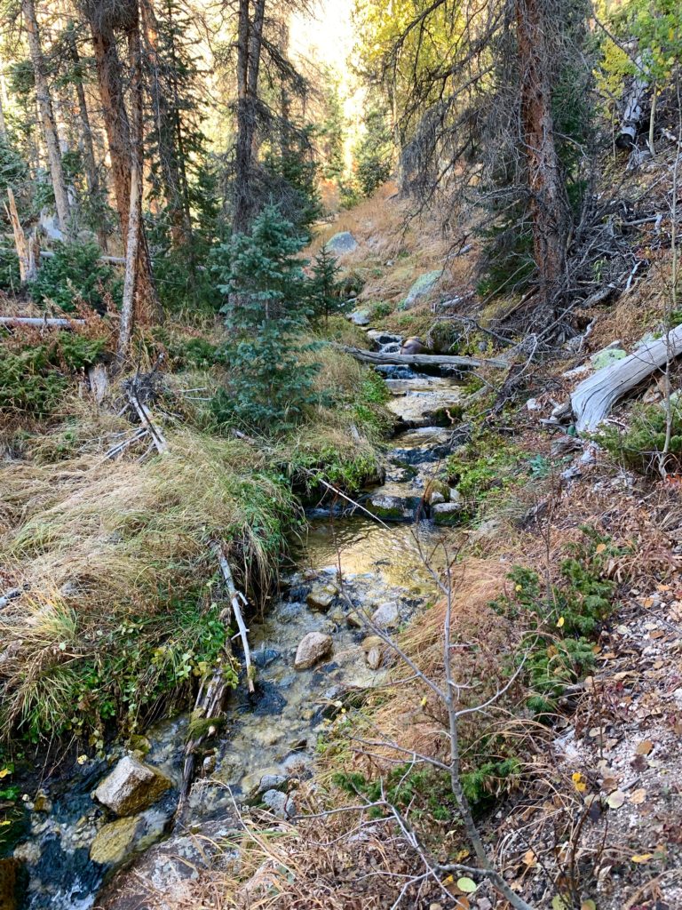
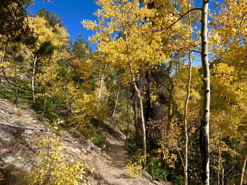
In 0.3 miles take a left onto the Little Brown’s Creek trail. The LBC trail follows the drainage between Mt. Antero and 13er Mt. White and is a long, steep but peaceful climb in the woods up to timberline.
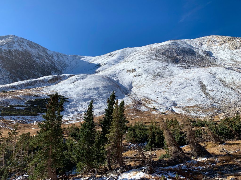
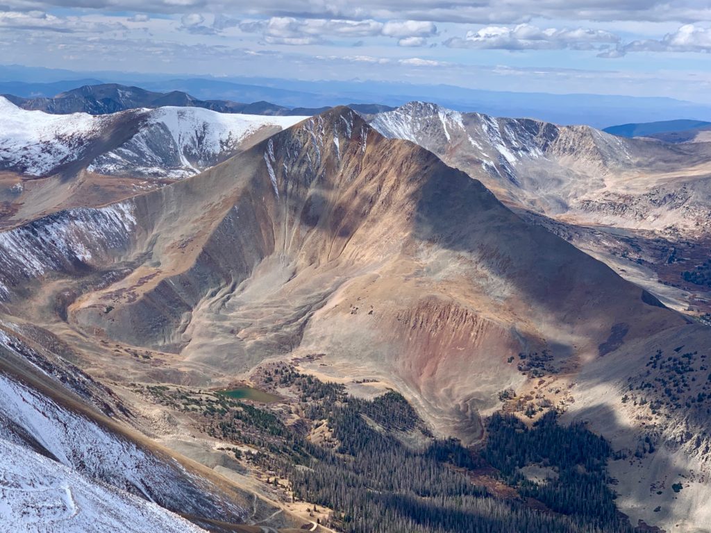
Mt. White comes into view.
Little Brown’s Creek
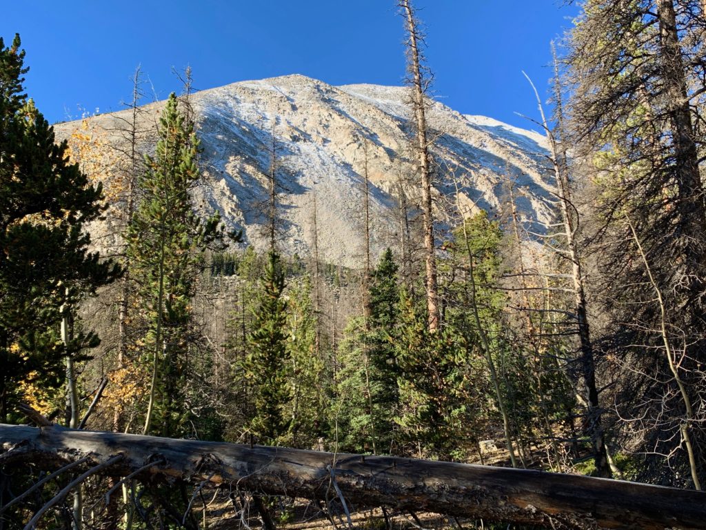
The north face of Mt. White looking white from a recent snow.
Towers on Mt. White.
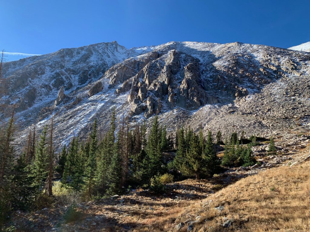
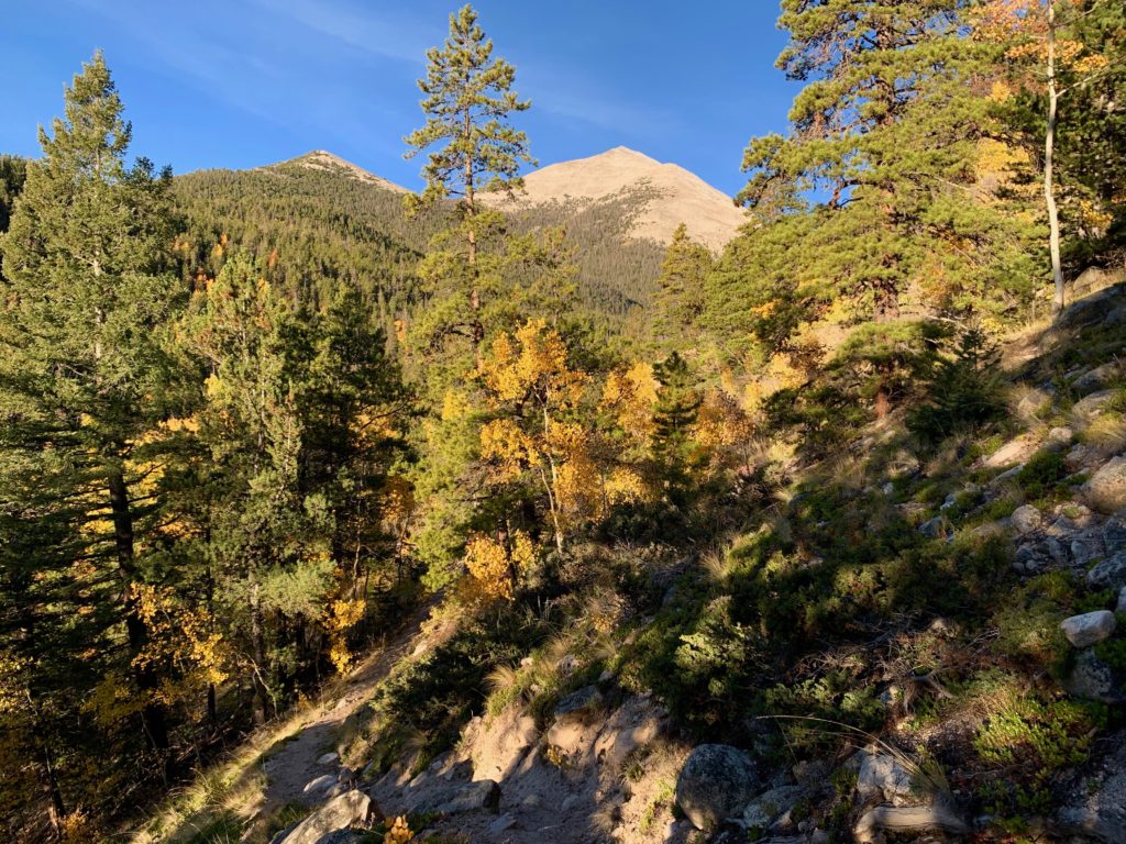
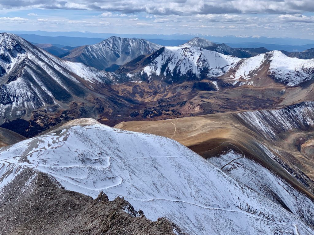
Heading into the basin between Mt. White and Mt. Antero near timberline.
Approaching the Mt. White / Mt. Antero saddle.
The upper slopes of Mt. White were even snowier.
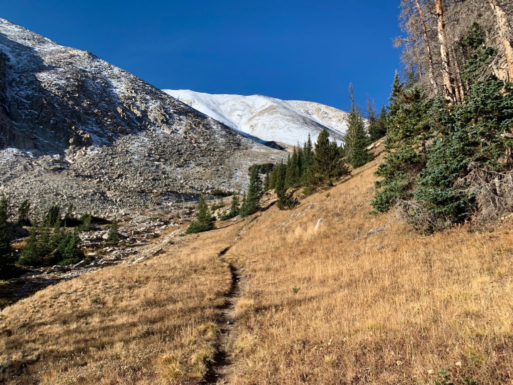
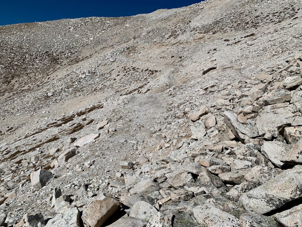
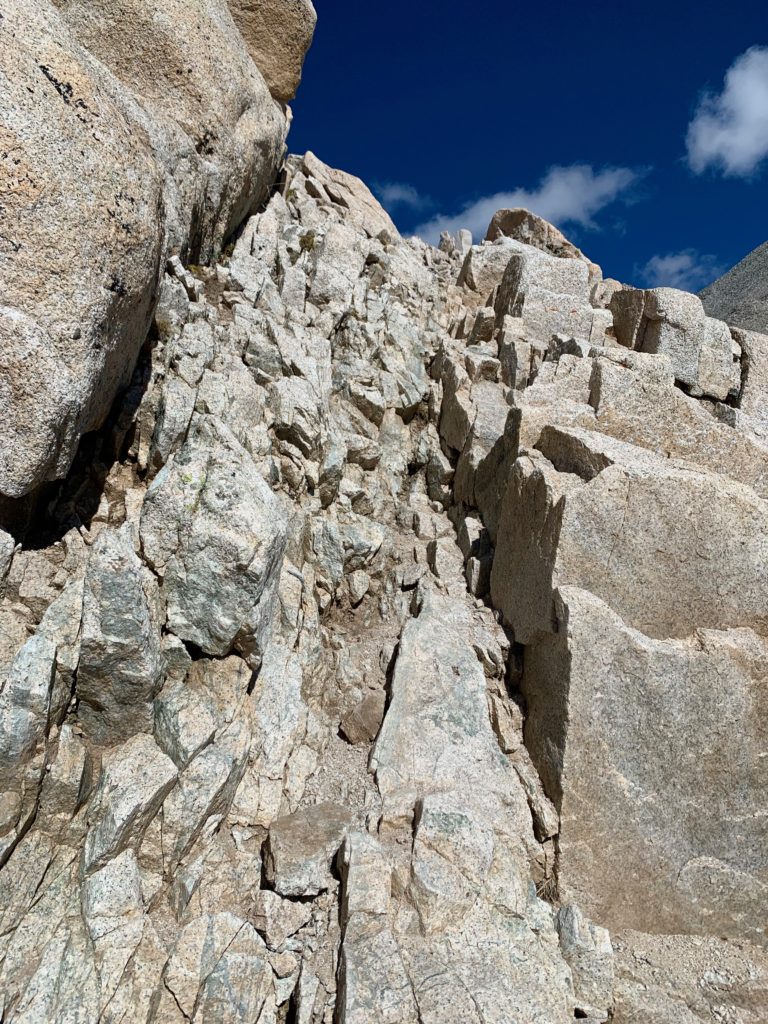
This is where things started to get interesting. At 12,080 feet, just before the LBC trail crosses Little Brown’s creek my route was to exit the trail and turn right across the talus and up the south flank of Mt. Antero.
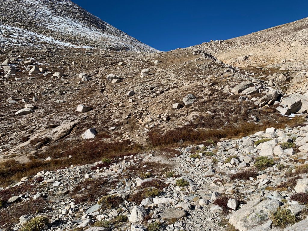
Mr. Roach is vague on the exact line here but there is a distinct rock gully guarded by large cliffy rocks on either side that cuts up the hill. This seems like the obvious route.
From a distance it looks crappy but I decided to give it a go. Up close it didn’t look any better.
This gully is two things:
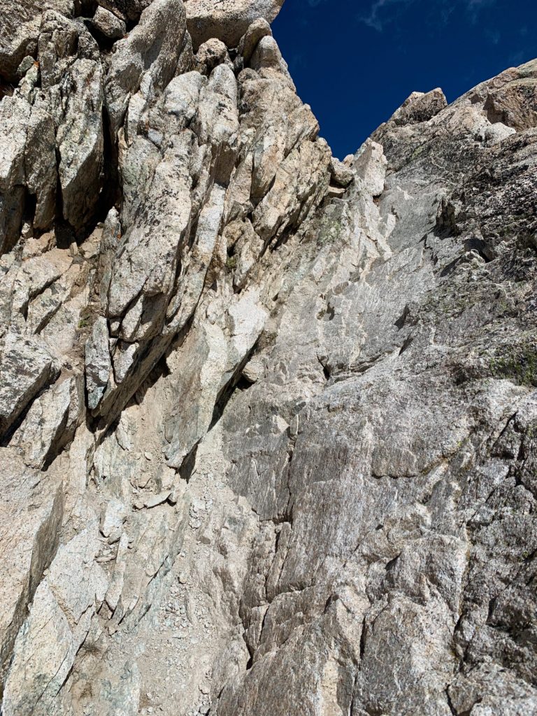
- It’s loose and it gets looser the higher it goes.
- It’s a lot longer than it looks from below. The steepness at the bottom hides the slightly less steep section higher up.
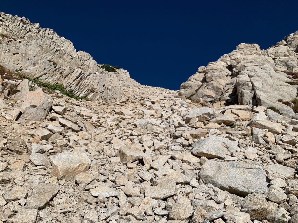
I started up the large boulders on the right side of the gully and initially it wasn’t too bad but as I got higher things became progressively more difficult. I focused on stepping on the largest rocks I could find but at one point I was stepping on microwave-sized rocks and they were moving. It was time to get the hell out of that gully. I exited climbers left and found mostly solid rocks interspersed with tundra on the slopes above. This made for much better climbing and for the most part I was able to move from rock to rock without doing the environmentally wrong thing of trampling the tundra. But it was long and tedious.
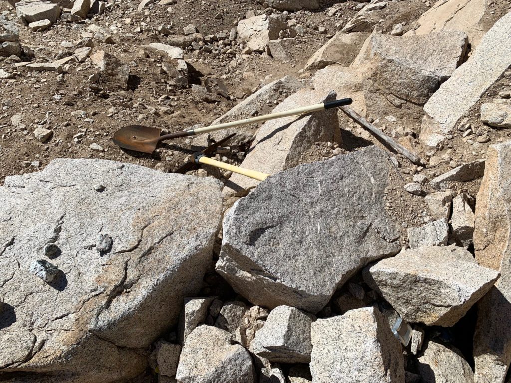
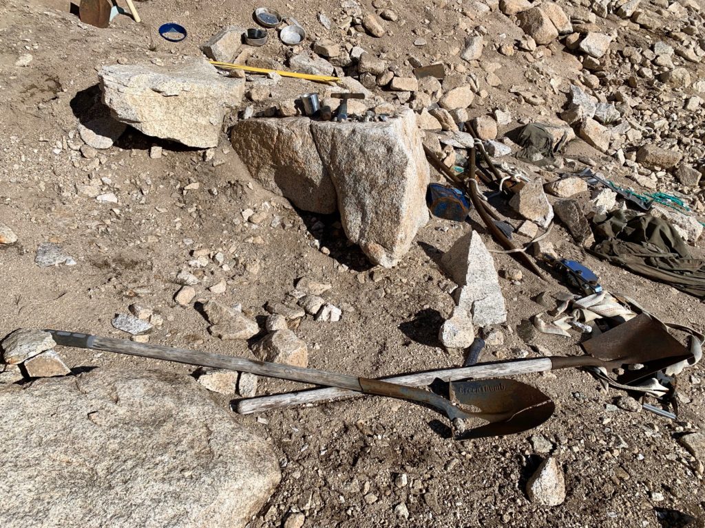
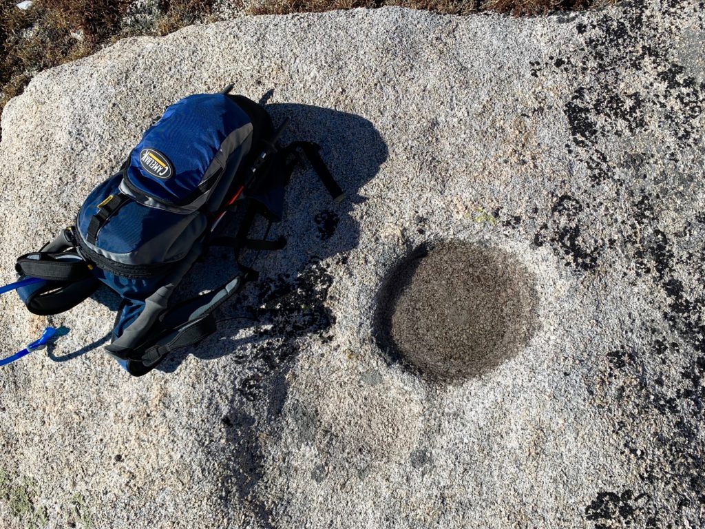
Interestingly, on the way up I stumbled across two small mining claims. No prospectors in sight. I guess because it’s so far off the beaten track and so hard to drag tools up this high the prospectors just leave their stuff laying where they drop them.
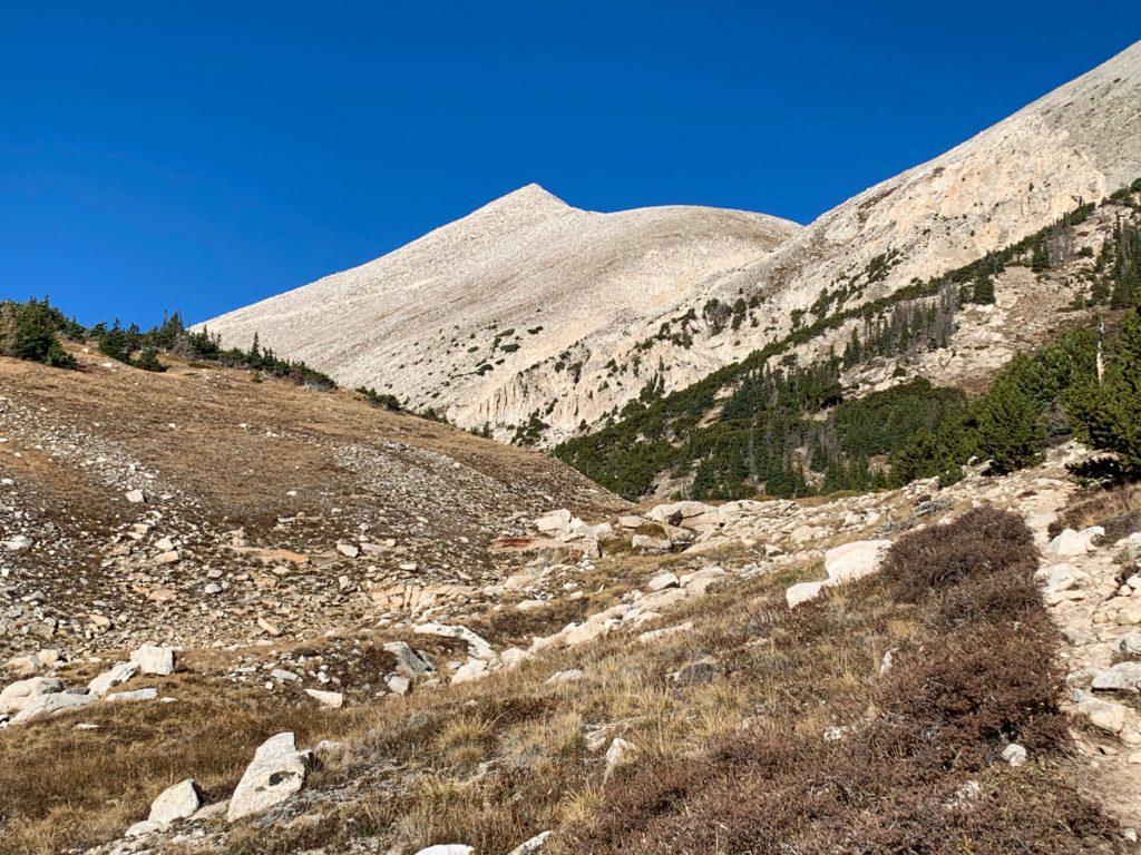
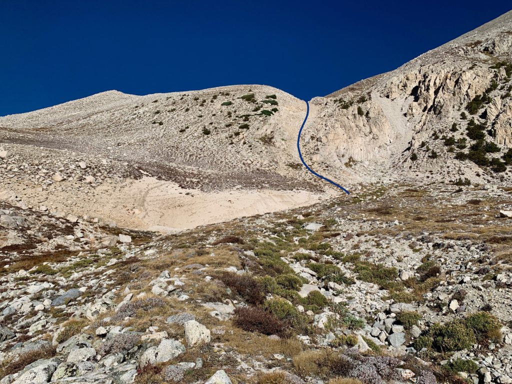
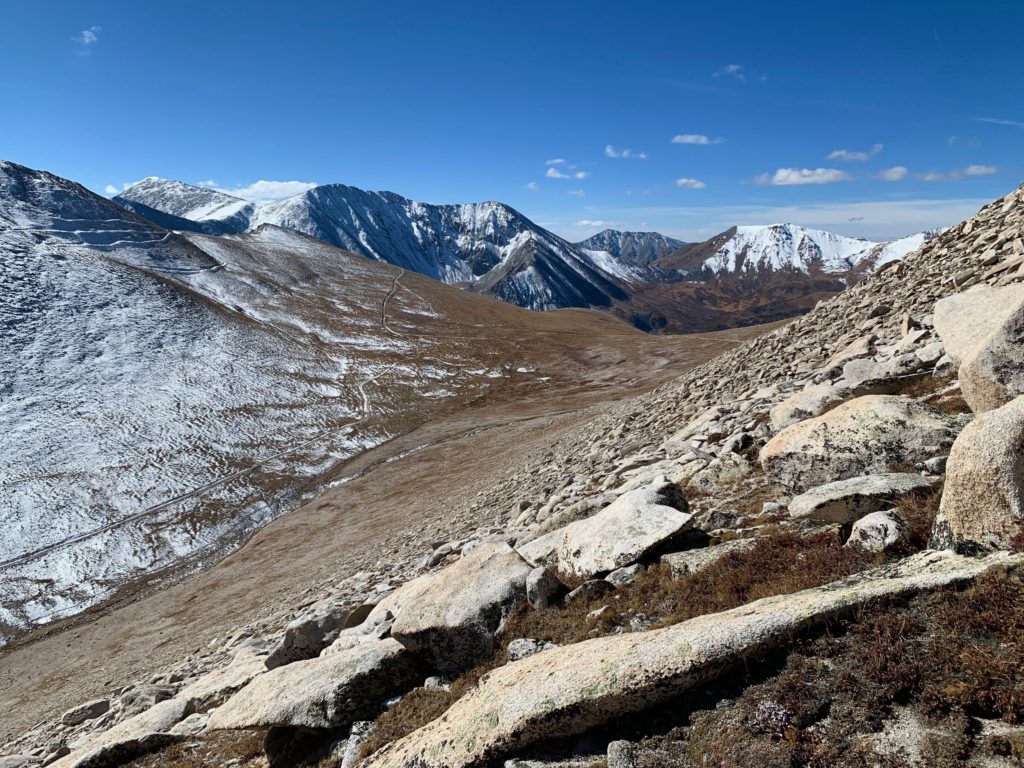
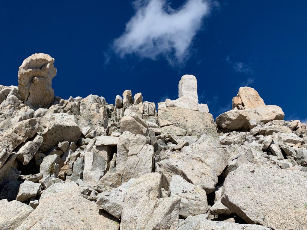
After what seemed like a lifetime of rock hopping, I topped the ridge above the gully and found myself standing in a small basin about 1,000 feet directly below Antero’s summit.
Looking back down the gully from the basin.
Roach calls this route “Tarnacity” because the basin contains a tarn, which I had to Google to find out is a small mountain lake formed in a cirque excavated by a glacier. Apparently, Antero’s tarn only holds water intermittently and it being October, it was dry.
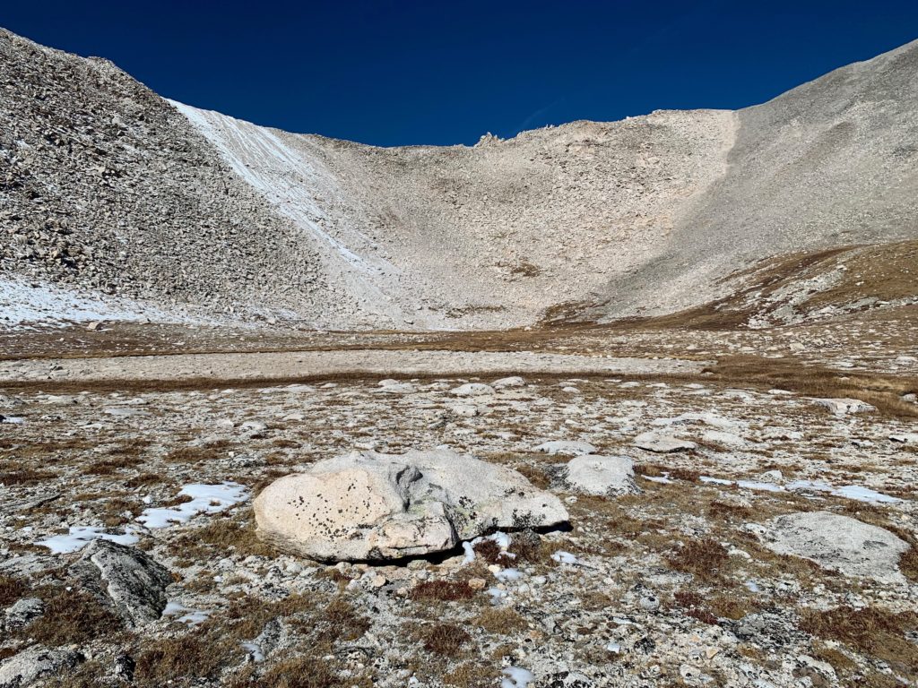
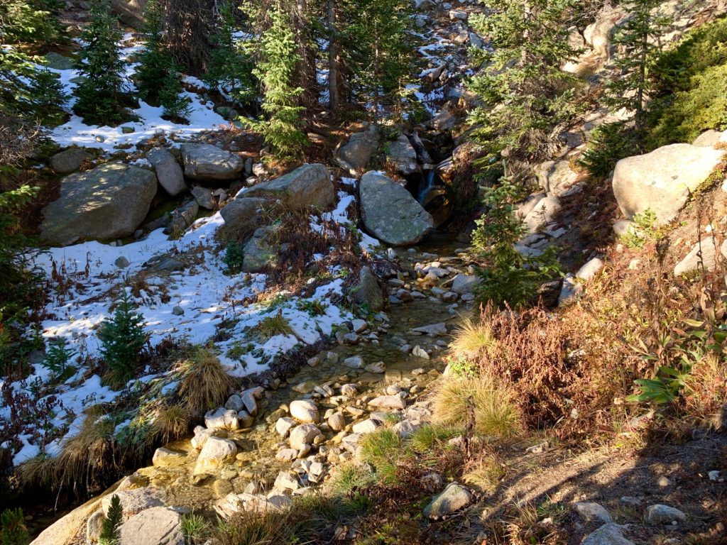
The only water in the basin.
From the basin the next part of the route was to climb the south-facing headwall of Antero’s east ridge, turn left and then follow the east ridge to the summit. But oh lord, that headwall is a beast. From the basin it looks massive and steep and with no distinct trail it would involve another 600 ft. or so of rock scrambling over a surface of unknown stability with no means of escape. As much as I wanted to stick to my plan, I noped hard out of that.
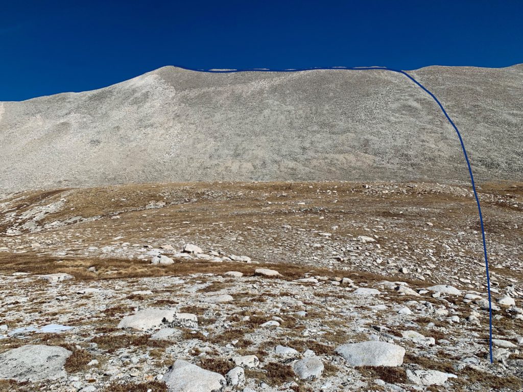
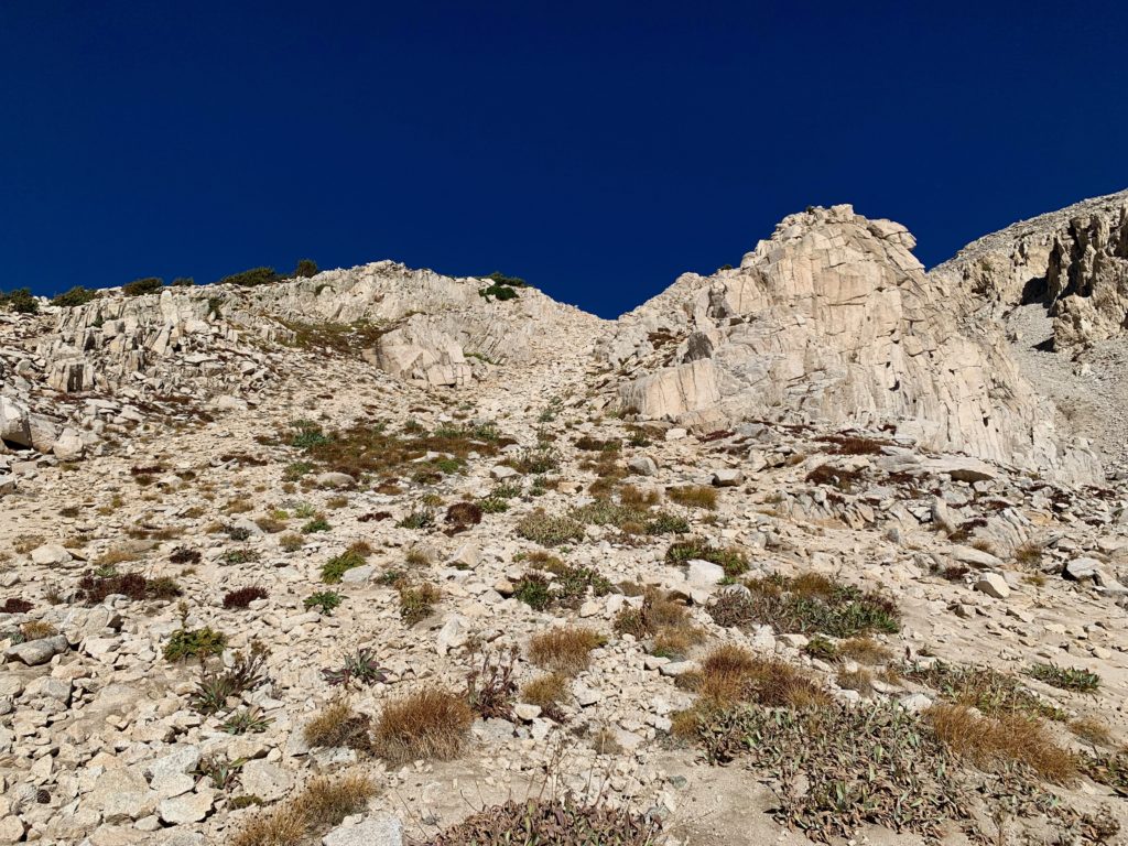
Ok, so now what? There were two obvious alternatives. First was an ascending traverse around the inside of the south wall of the basin. From where I was standing, I could see that this would take me directly to the start of Antero’s south ridge so it seemed like the shortest, most efficient line. It didn’t look any more difficult than class 2 and it would certainly be easier than the gully I’d just climbed. The problem was the traverse is north facing and was currently covered with snow. I didn’t bring any traction and didn’t want to risk a slip crossing this rock field alone.
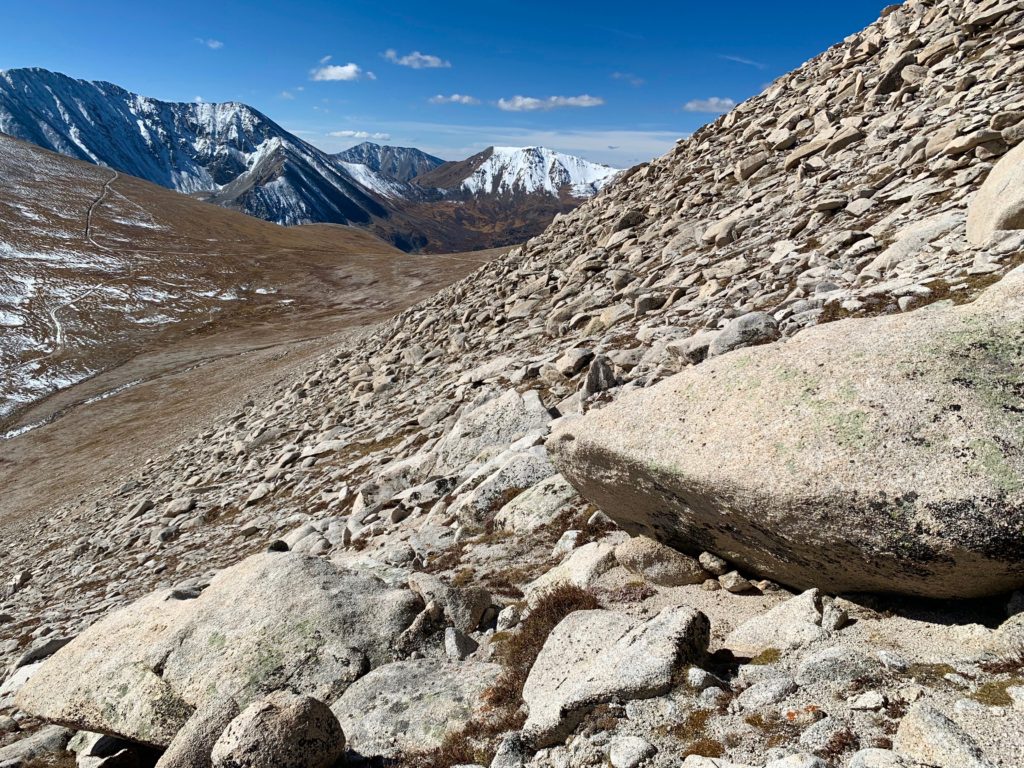
The second choice was to do a longer contouring traverse around the outside of the basin’s south wall on a sunny, rocky slope. I couldn’t see all of this route but from what I could I could tell it was covered with the same large, solid rocks I had just climbed so in theory it should go. Barring any unseen obstacles, I figured this would take me out to the road of the standard route although I wasn’t sure exactly where. It was a longer but seemingly safer option. Not to mention, the basin is at 13,240 feet so from the trailhead I’d already covered over 4,300 feet of vertical. A traverse sounded really appealing at this point. This was my new route.
On the topo below I’ve indicated my original planned “Tarnacity” route in blue. The ascending traverse route in red and my contouring route in green.
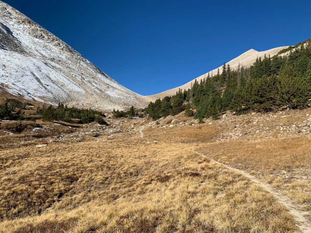
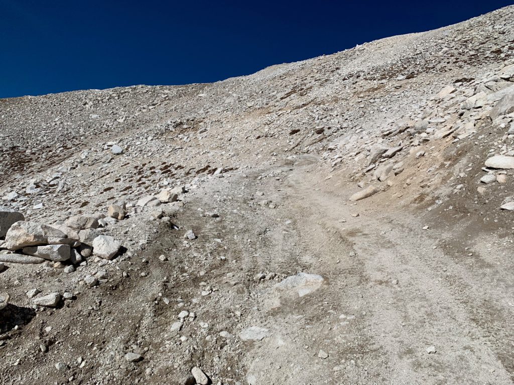
As it turned out the contouring traverse worked great. The large boulders covering the face made for some fun scrambling and the route brought me around the south side of the basin and dropped me at the first of the last four switchbacks before the end of the road on the standard route.
The standard route comes into view.
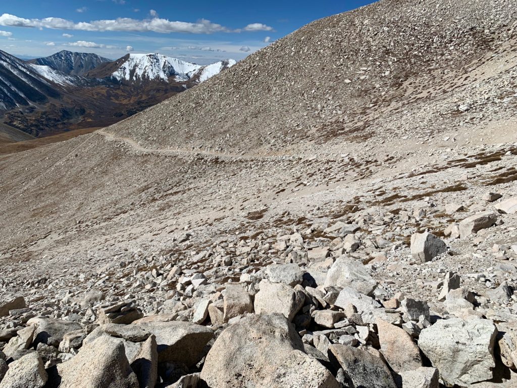
Meeting up with the first switchback.
From there, it was a walk up the road and three more switchbacks to the start of Antero’s south ridge.
Oh and did anyone lose a Lexus SUV between the second and third switchbacks? Gray exterior and although I didn’t look, based on the way the front end is hanging off the road, I’m sure those seats are brown.
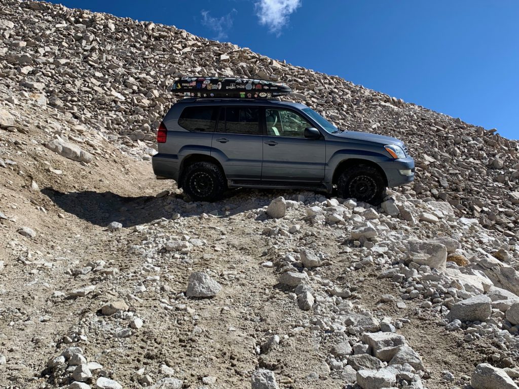
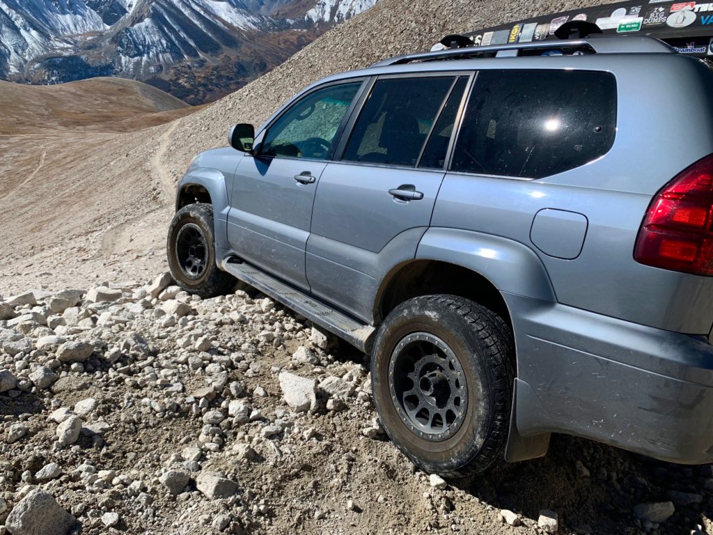
End of the road.
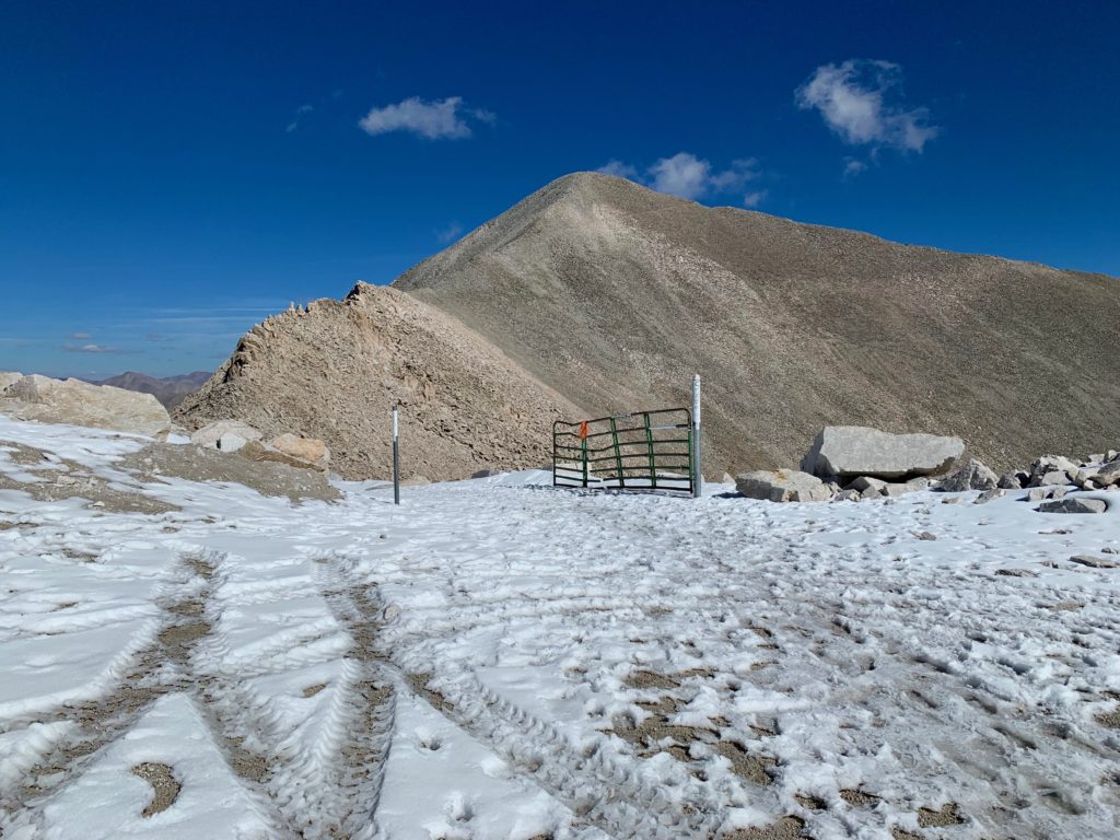
Those crazy kids!
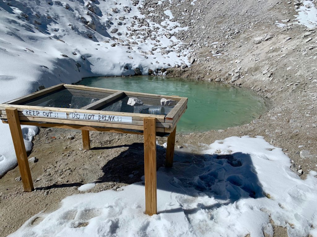
Don’t worry, I don’t want any of your fluorescent green water.
Antero’s south ridge. This was my favorite part of the climb. Solid rock, not too steep but requiring a couple of interesting moves to complete.
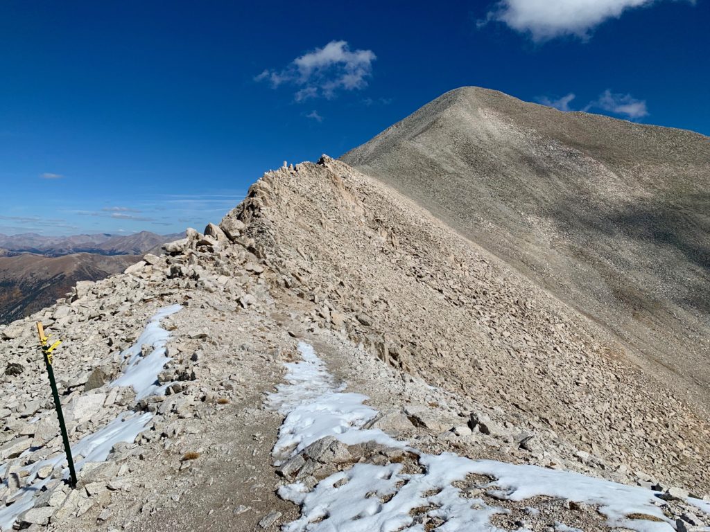
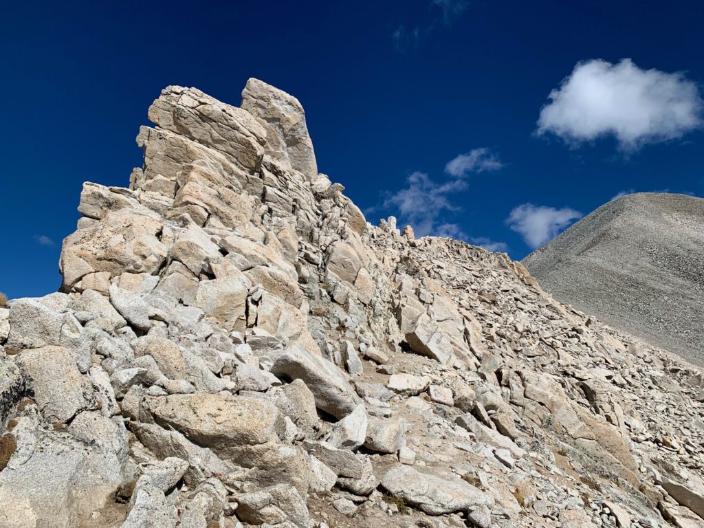

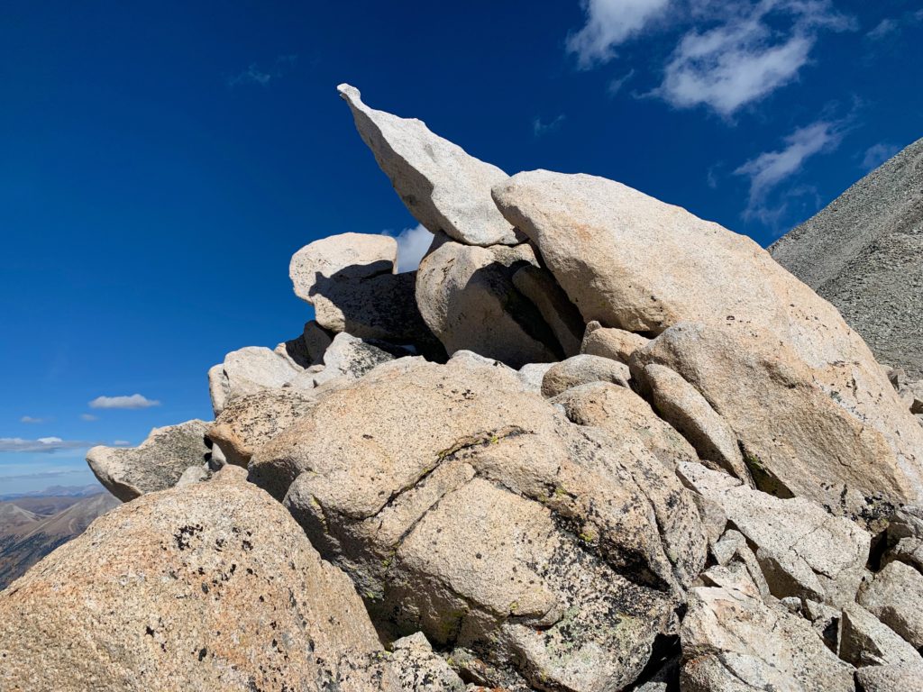
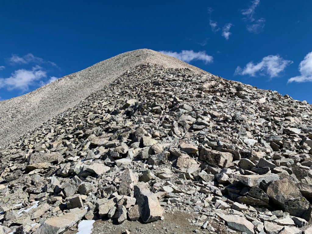
Final pitch. Mostly stable rocks but relentlessly steep all the way to the summit.
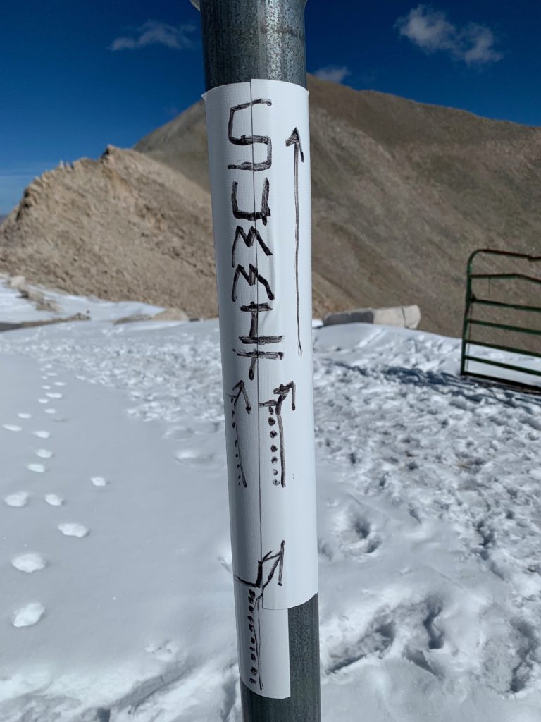
Antero’s summit was the first 14er I’ve had all to myself so it was special. It was sunny, around 50 degrees and not too windy. I made a phone call to Ms. Seeking, snapped a few photos, and ate some lunch before heading back down. It felt great to be on a summit with such nice weather in October. And like all summit views, spectacular!
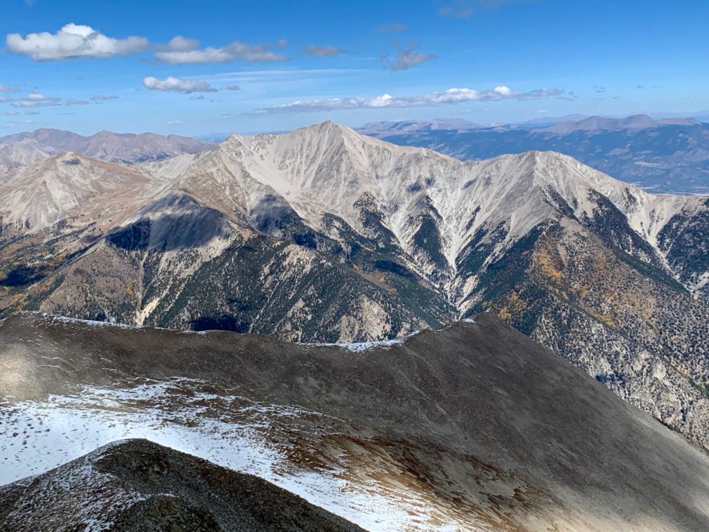
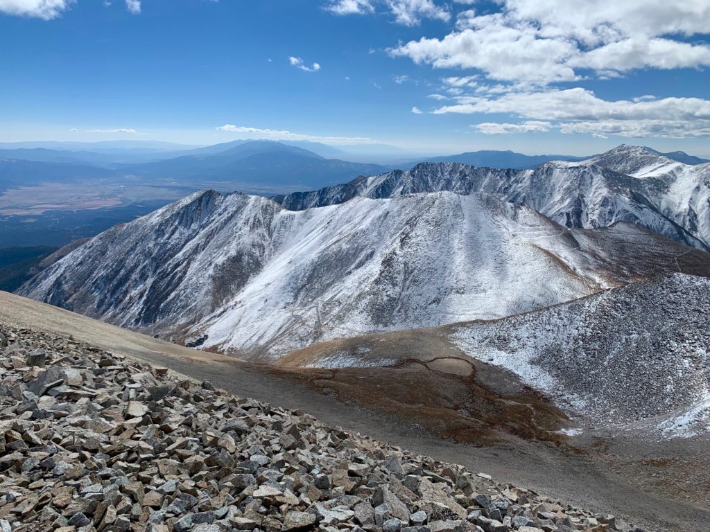
Mt. Princeton to the north.
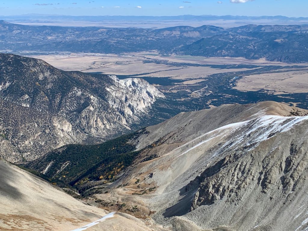
The Chalk Cliffs and Buena Vista to the northeast.
Antero’s east ridge, where I would have come up had I stuck to my original route plan.
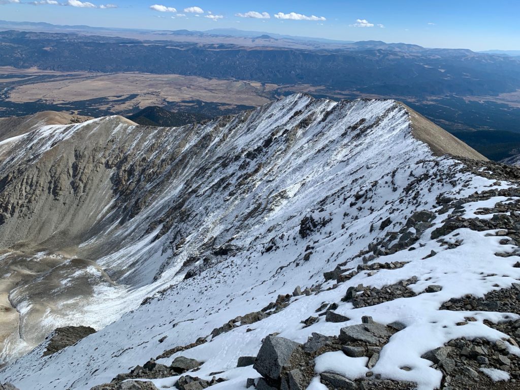
Mt. White and the Antero tarn.
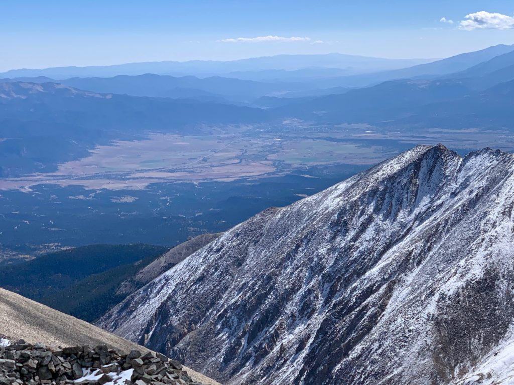
Salida in the distance.
Mt. Shavano (left) and Tabeguache Peak (right) to the south.
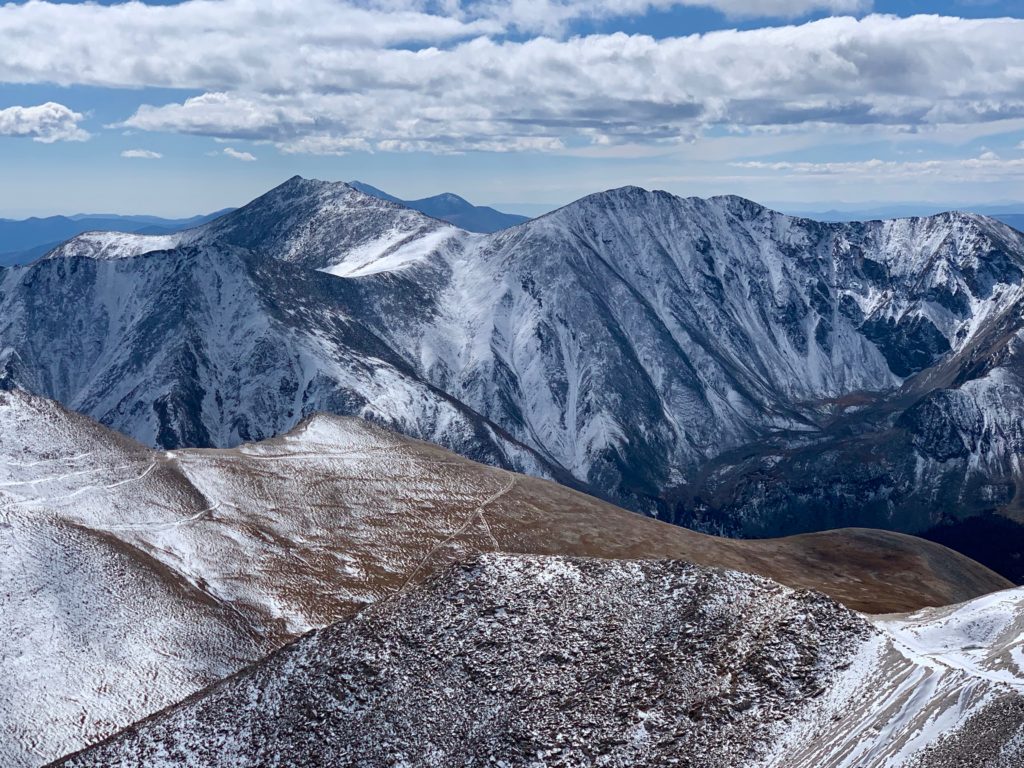
Taylor Mountain and Mount Aetna behind the ridge to the southwest.
The lovely pyramid shape of Cronin Peak to the west.
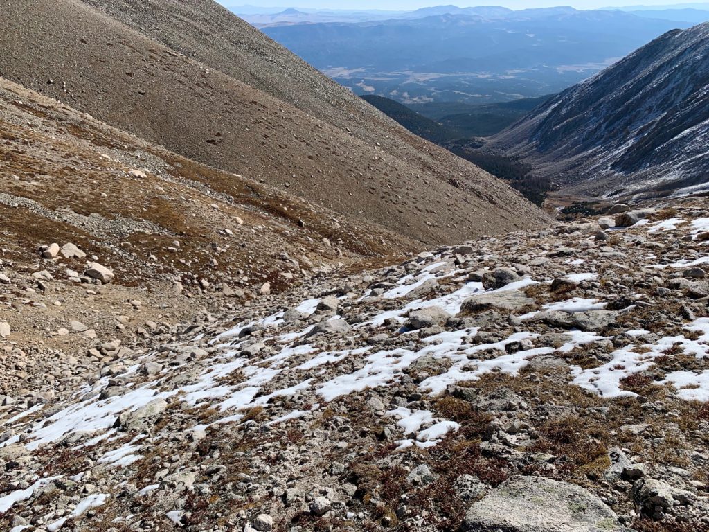
For my descent I did the standard LBC route with a slight variation indicated by the yellow line on the topo map above. Rather than descending on the road all the way to the Mt. White / Antero saddle to catch the top of the LBC trail, I stayed on the Antero side and found a faint trail heading downhill off a mining road heading east on Antero’s lower slopes. I had noticed this trail from the bottom of the rocky gully when I started my ascent from the lower basin and it was an efficient and welcome shortcut
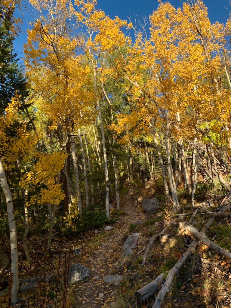
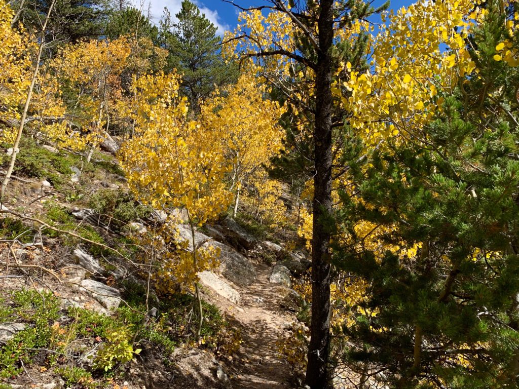
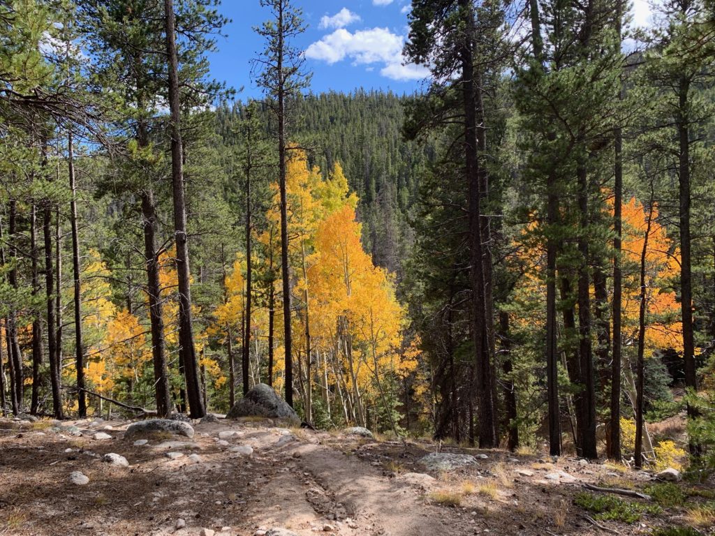
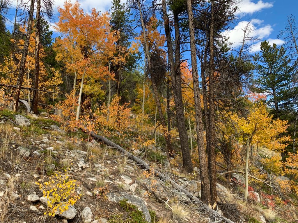
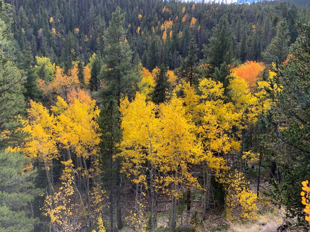
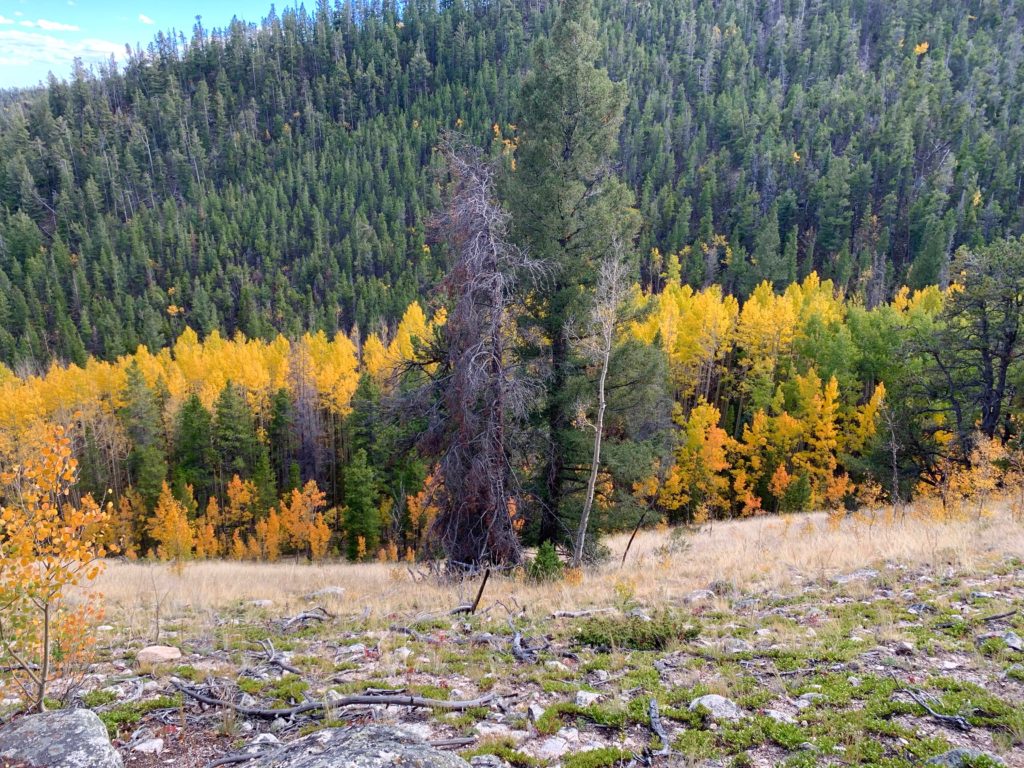
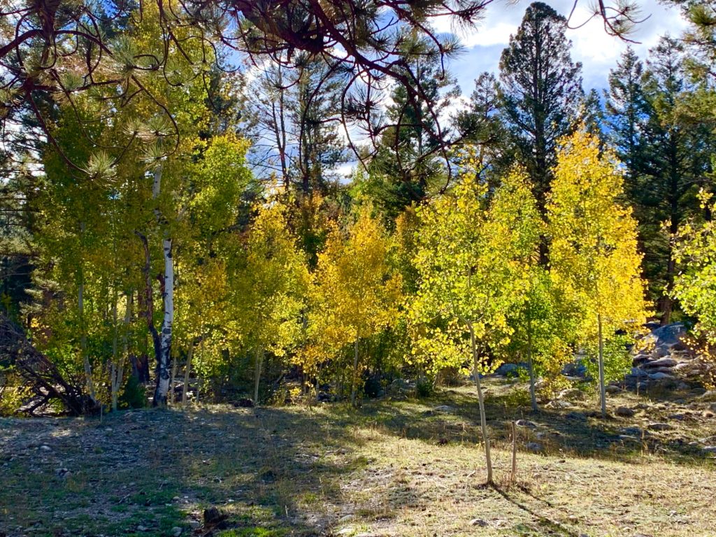
I’ll leave you, dear reader, with a few photos of the fall foliage on the way down because, well, it’s autumn in Colorado, that’s what we do!
Wow!!! What a hike and such beautiful pictures!! I’m super jealous! Ha ha! Thanks for sharing!
It was a great day out. It’s easy to take beautiful pictures when the subject is so fine! Glad you liked them.