Way back in the 1860’s and 1870’s, back before Colorado even became a state, survey crews from what is now called the U.S. Geological Survey fanned out across the Rocky Mountains to catalogue, measure, map and name the mountains. Imagine that, being given the authority to name mountains! Most of the names we use to this day came from those 19th century surveys.
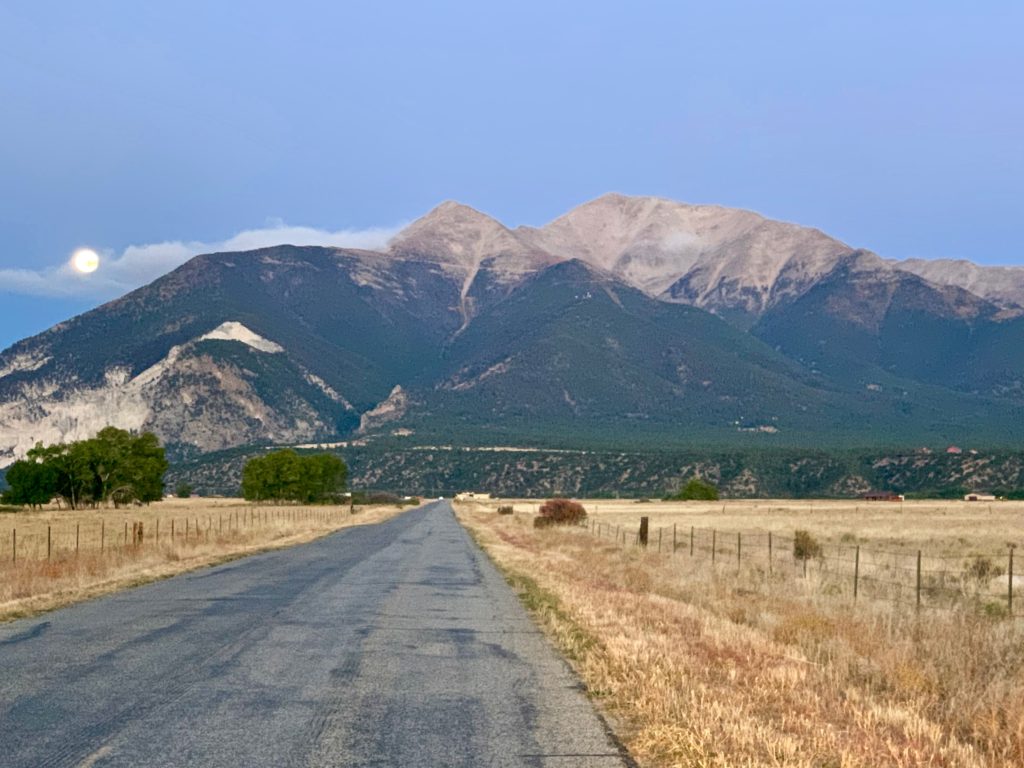
In the central Sawatch the survey crews must have been thinking of their alma maters back east, giving us an area known today as the Collegiate Peaks. Mt. Princeton is the southern most of the Collegiate Peaks. It rises abruptly from the Arkansas River Valley at Buena Vista and because of its size and position is visible for miles in every direction. As you descend into the Arkansas River Valley from the east on US 285 the view of Princeton is breathtaking. And in the winter, when it’s capped with snow, Princeton provides one of the most iconic Colorado views in the state.
We are fortunate in that Princeton is one of the mountains we can see from our living room window. Every day it just sits there calling. But despite its beauty, I haven’t been motivated to climb Princeton because to be honest, its standard route isn’t all that interesting. From the 2WD trailhead, it’s long at 13 miles and 5,300 ft of vertical with at least half of the hike on a dirt road. It just doesn’t sound that appealing. Alternatively, you can drive up the road to the 4WD trailhead but according to my guide, the road is narrow and rugged with very limited parking, and you’re still looking at 1 – 2 miles of road hiking before you get to the trail.
But it’s right there, I had to do it. My plan was to attempt it late in the season in the middle of the week when crowds should be minimal, drive up the 4WD road and find one of the few parking spots near the trailhead and start hiking from there.
As it turns out, the drive became one of the most memorable parts of the climb. The road above the 2WD parking area is definitely high-clearance 4WD but as 4WD roads go, it’s not that bad. You have to go slow but there are only a couple of places where careful tire placement is necessary. Compared to Yankee Boy basin, it’s nothing. Mainly what it is is long and narrow with very few places to pass and a couple of switchbacks that require two-point turns to get around. If you meet another vehicle coming the other way someone is going to have to back up for a long way before you find a place suitable for passing.
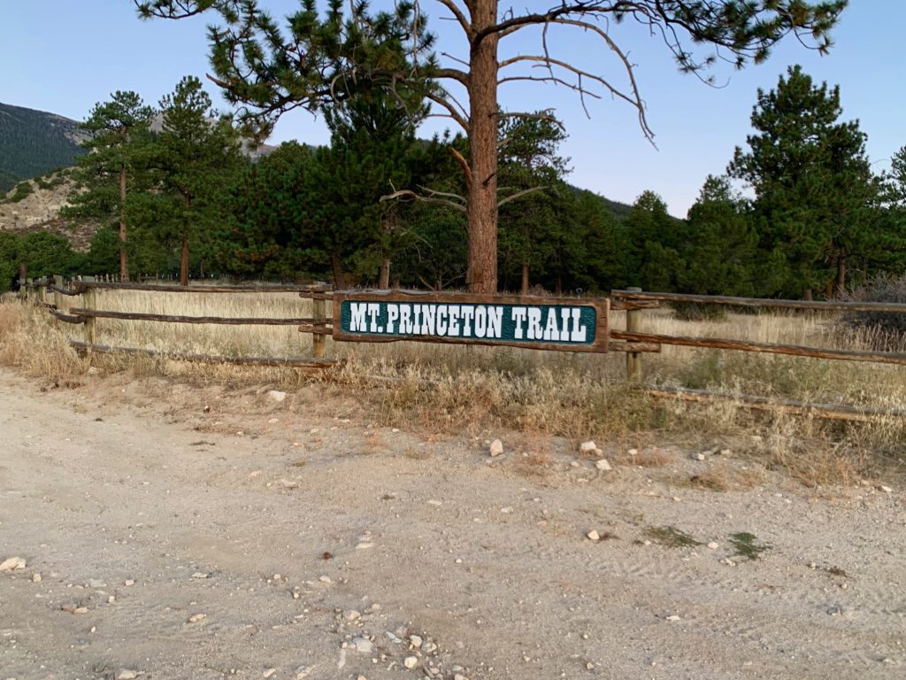
I got a pre-sunrise start to minimize the chance of encountering any vehicles coming down the road. I saw no cars in the 2WD lot, which was a good sign. Speaking of good signs, the Mt. Princeton sign at the 2WD lot is the fanciest trail sign I’ve seen to date.
As I slowly picked my way up to the 4WD parking near some communication towers, there were also no vehicles to be found there. So I kept going. Just before reaching timberline, I spotted the trailhead on the right side of the road. According to my guide there is one parking spot there. Yeah, I suppose it’s a parking spot, if you don’t mind parking tilted at a 45-degree angle halfway up a slope. Even worse, I could see no possible way of getting turned around to go back down at the end of the day. I tried several different times but the drop off on the downhill side of the road gave me that tilt-a-whirl stomach feeling every time I got near the edge. I needed a better spot and that meant only one thing, drive higher and hope the road doesn’t go beyond my 4WD capability before I find a spot to park.
Fortunately, about a quarter of a mile up the road I found my spot. It was relatively flat and most importantly, wide enough to comfortably turn around. At this point I was actually above timberline and would have to walk downhill to the trailhead, which is kind of weird for a climb. But the views of the Arkansas River Valley in the morning sun were nice. After messing around with the car for almost an hour it felt good to finally get out and get moving.
I had read several trip reports on Princeton’s standard route and boy was I glad I did. Despite the fancy sign down at the 2WD lot, there was literally nothing at the actual trailhead indicating that it was the Mt. Princeton trail, not a sign, not a post, not an arrow, zip. I just recognized the stone steps leading uphill off the road from pictures I’d seen.

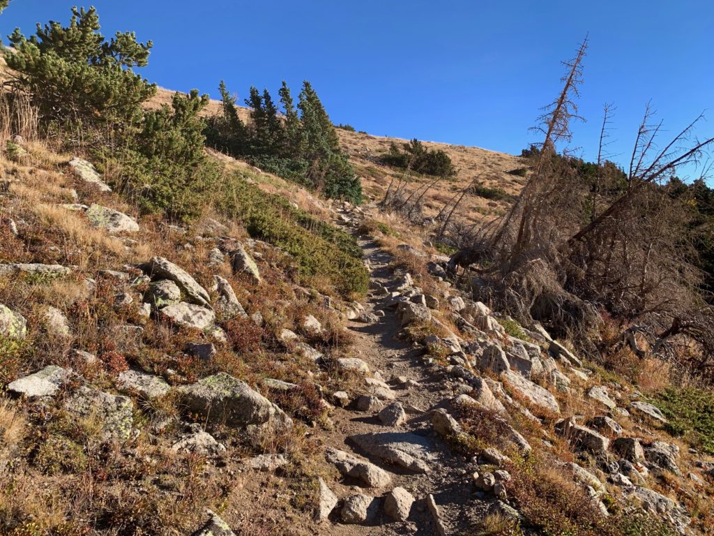
Mt. Princeton peeking over the first ridge.
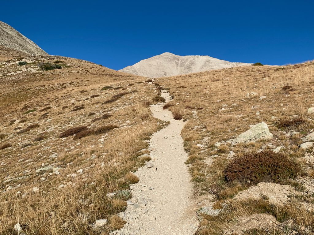
On top of the first ridge the rest of the route comes into view.

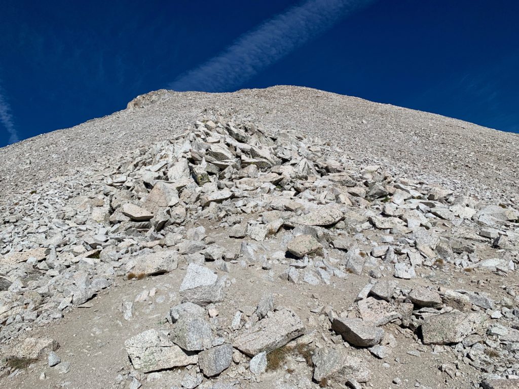
End of the tundra, start of the talus that would be the remainder of the climb. Fortunately, it was all mostly stable.
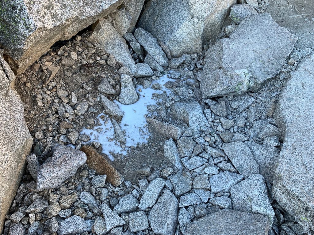
First snow sighting! Not much and only in the shade but fresh, like it had fallen the previous evening.
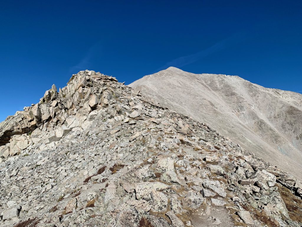
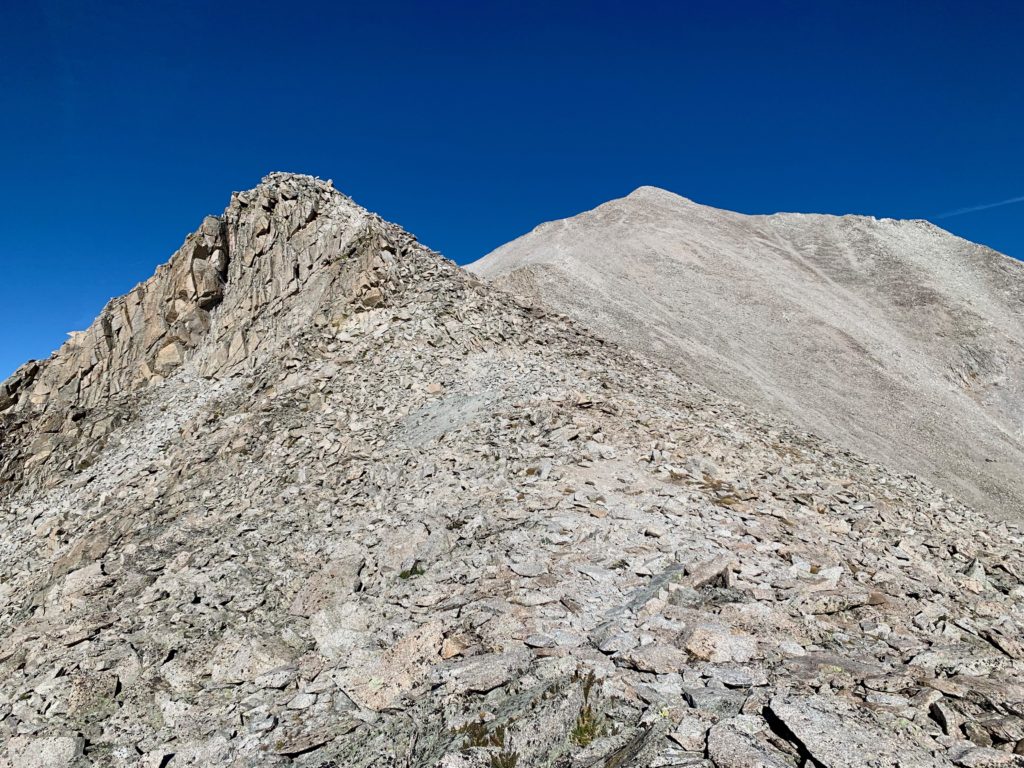
The Tigger Peak / Princeton saddle comes into view. The University of Princeton’s mascot is the tiger, thus the name of the Princeton sub-peak. Since Winnie-the-Pooh wasn’t written until 1926, I’m thinking someone besides the 19th century surveyors came up with that one.

Mt. Princeton from the saddle.

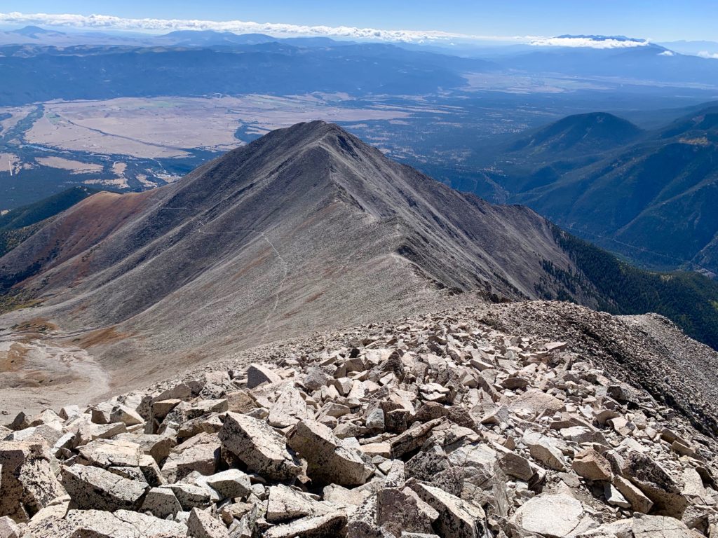
Looking back at Tigger Peak.

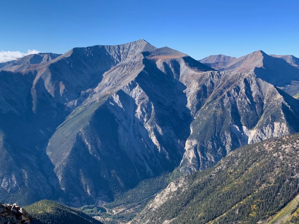
And a stunning view of Mt. Antero to the south.
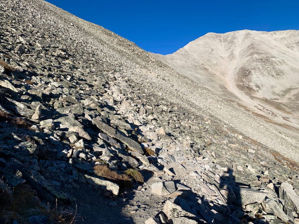
Heading up Princeton’s southeast ridge and the first hump.
Second hump.
Third hump.
One of the most common critters to see at high altitude is the pika. The problem is they’re fast and elusive, very hard to get anything more than a blur in a picture. This little guy had clearly seen a few people in his day and wasn’t all that concerned with my presence so I was able to snap a few pictures of him on his sunny rock as I was passing.


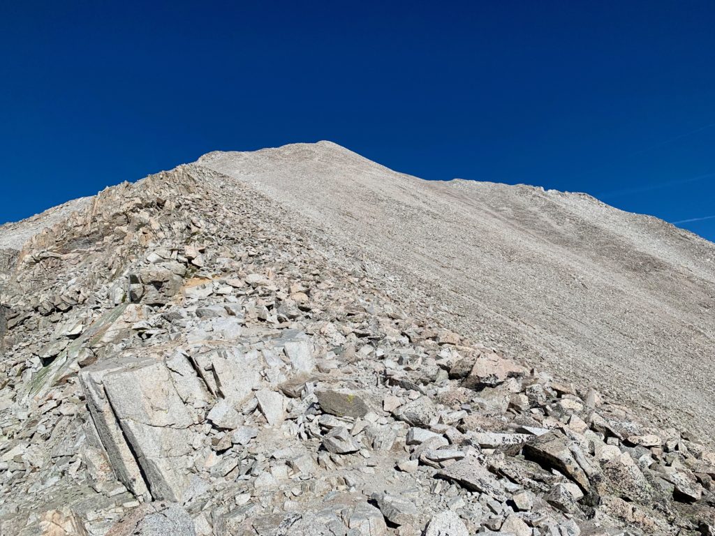
Final pitch to the summit.
On Princeton’s summit with Mt. Yale to the northwest.
Mt. Harvard (center) and Mt. Colombia (the point right of Harvard) to the north.

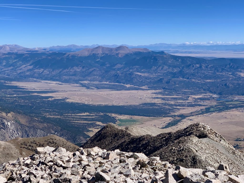
Buena Vista and the Buffalo Peaks to the northeast.
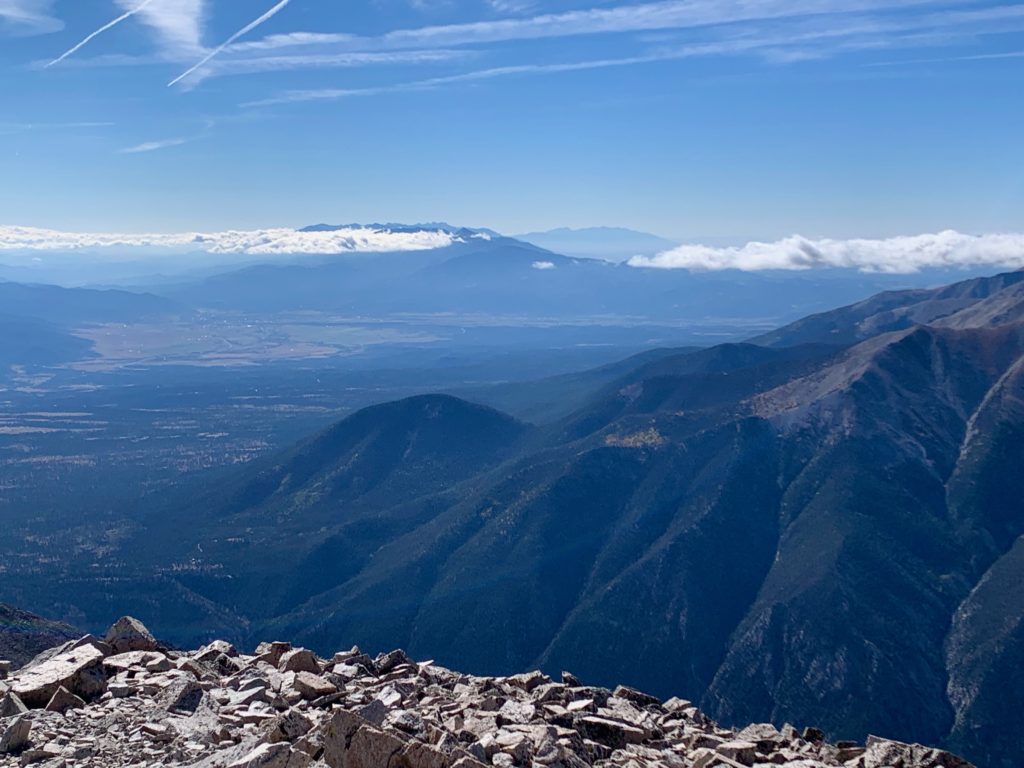
Salida to the southeast. That’s Methodist Mountain partially obscured by low clouds.
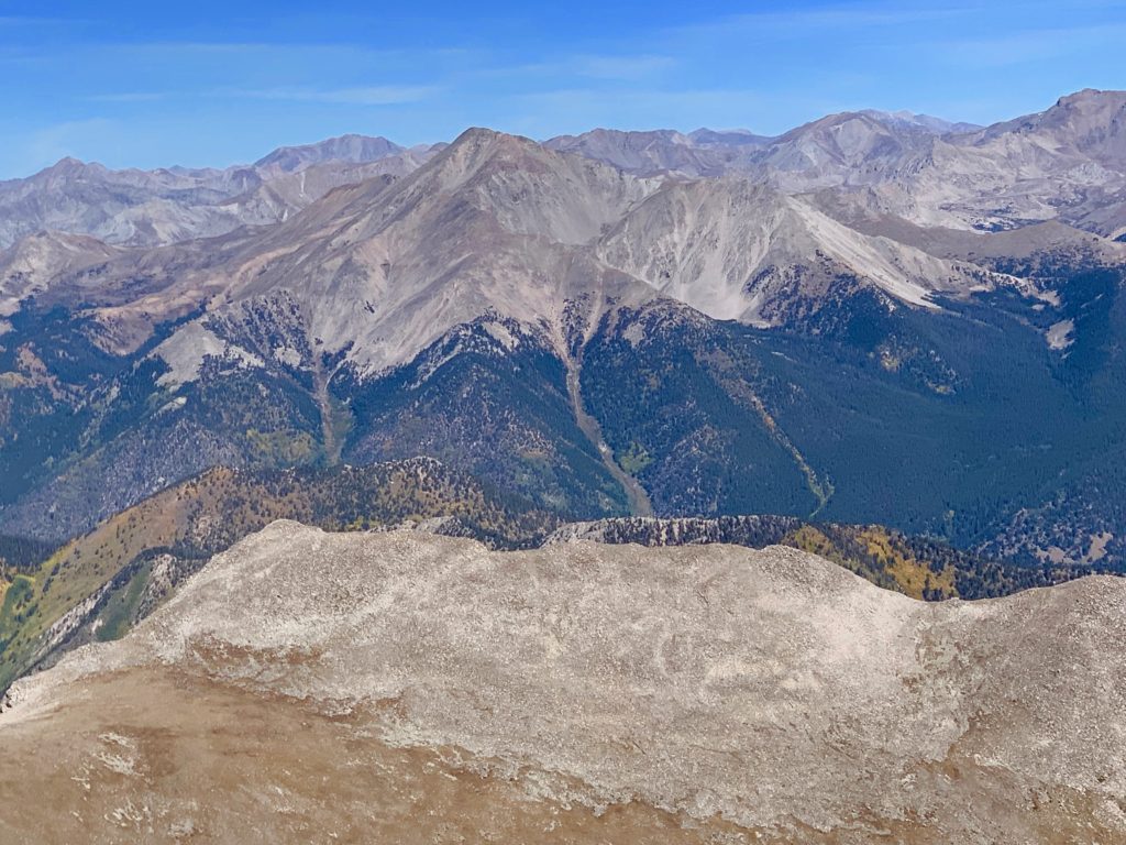
Mt. Antero and the rest of the southern Sawatch.

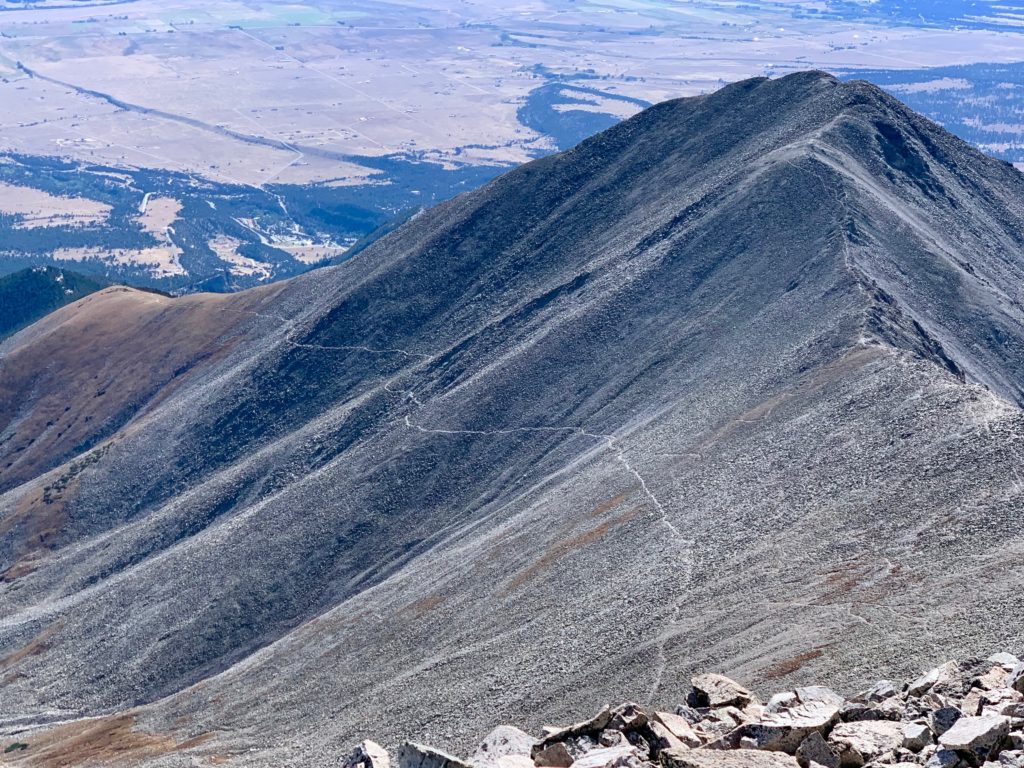
Looking down on Tigger Peak and the trail I just climbed.
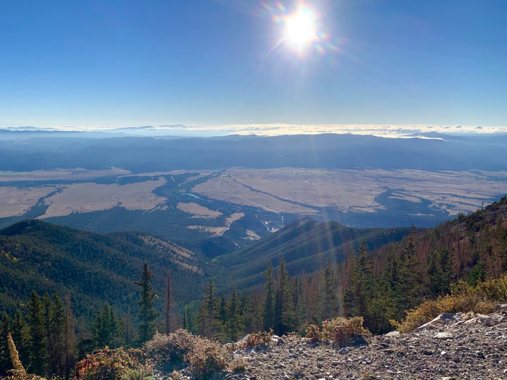
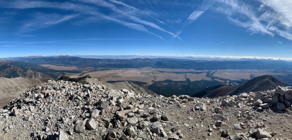
Panorama of the Arkansas River Valley from Mt. Princeton.
It was a sunny but cool day on the summit. There was a light breeze but Princeton gets a lot of visitors and over the years people have built several rock shelters up there so I was able to get out of the wind to enjoy my lunch. I was the first person to summit that day but within a few minutes I was joined by a couple from Denver and then by two girls who had just moved to Colorado from Los Angeles. Princeton was their first 14er.
Heading back down.
Another shot of Mt. Antero with Chalk Lake below and a few hints of fall foliage.

Back down at tree line I went through a stand of bristlecone pines that I hadn’t noticed on the way up. That’s the top of the Chalk Cliffs from behind in the background.

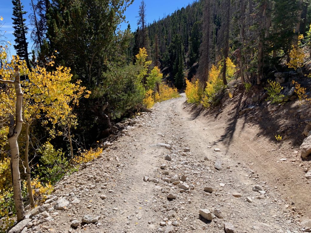
Back at the car the only thing left to do was negotiate the road back down to the 2WD trailhead. I was sweating bullets the whole way because in the mountains the uphill vehicle has the right of way so if I were to encounter someone coming up I’d be the one having to back up to let them pass. On the way down I spotted 6 – 8 parked vehicles that weren’t there in the morning but to my great relief there were none coming up the road. Whew! And the aspens in the afternoon sun made for a nice distraction.