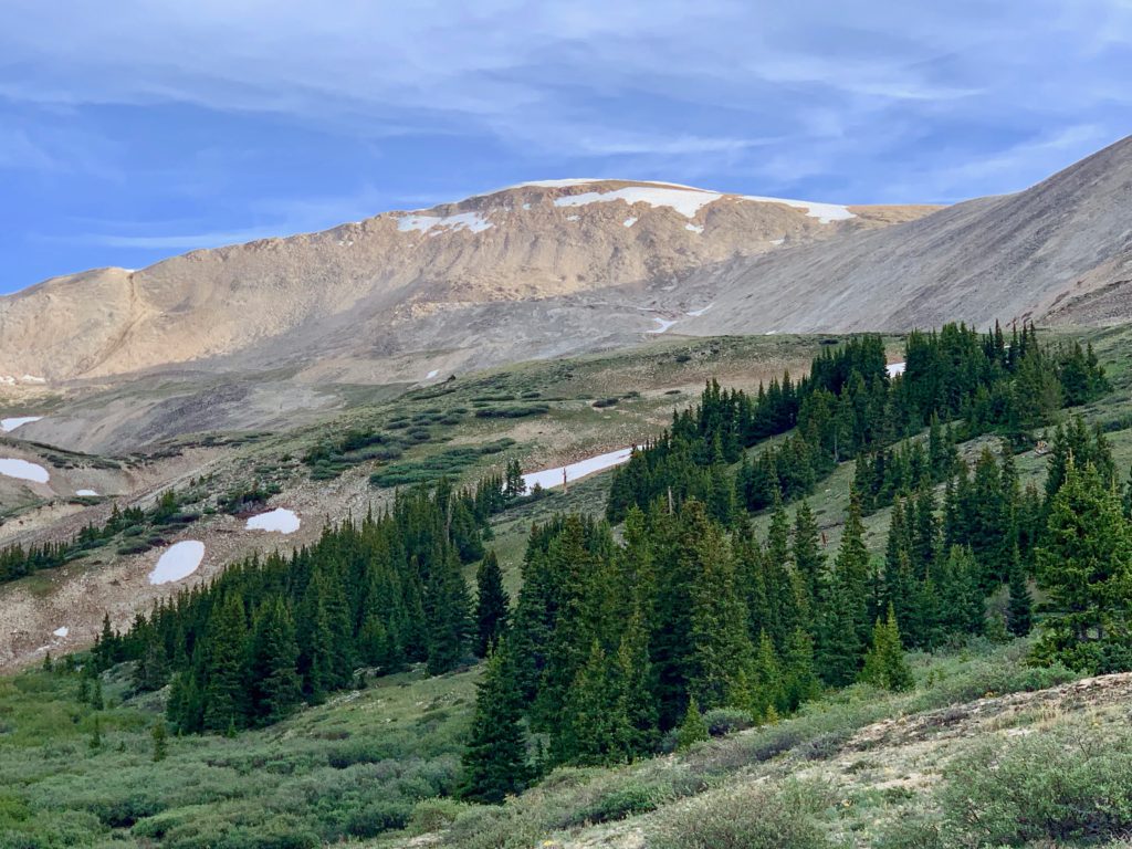
On my continuing road to recovery, it was time to try my first 14er of 2022. While none of the 14ers are genuinely easy – you’re climbing up to 14,000 feet, after all – some are easier than others. The one generally considered the easiest is Mt. Sherman, in the Mosquito range between Leadville and Fairplay. From the upper 4wd trailhead the round-trip climb is listed as under five miles with just over 2,000 feet of vertical. A perfect re-introduction to mountain climbing.
We set out to do Mt. Sherman this past Wednesday. Weather-wise it was a great day for a climb and I was looking forward to testing my knee on a big mountain. As it turns out it was also a lesson in respecting the mountains, even the “easy” ones.
Prior to our climb I had given the route a cursory review, read some trip reports from other climbers and felt comfortable with our plan for the day. Most 14er climbs start on a well-defined trail or a 4wd road that turns into a well-defined trail, a trail that takes you all the way to the top of the mountain. Trail intersections, if there are any, are almost always marked with Forest Service signs that provide clear directions and distances to wherever you may be going.
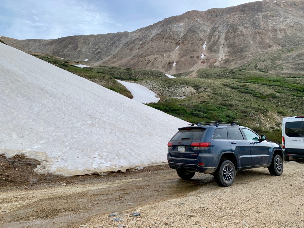
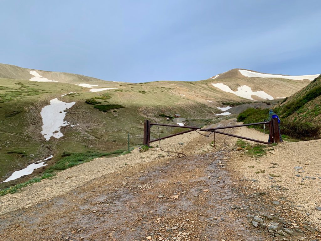
Sherman via the southwest ridge starts above timberline at 12,000 feet on an old mining road accessed through a gate at the end of the 4wd parking area. Familiar enough.
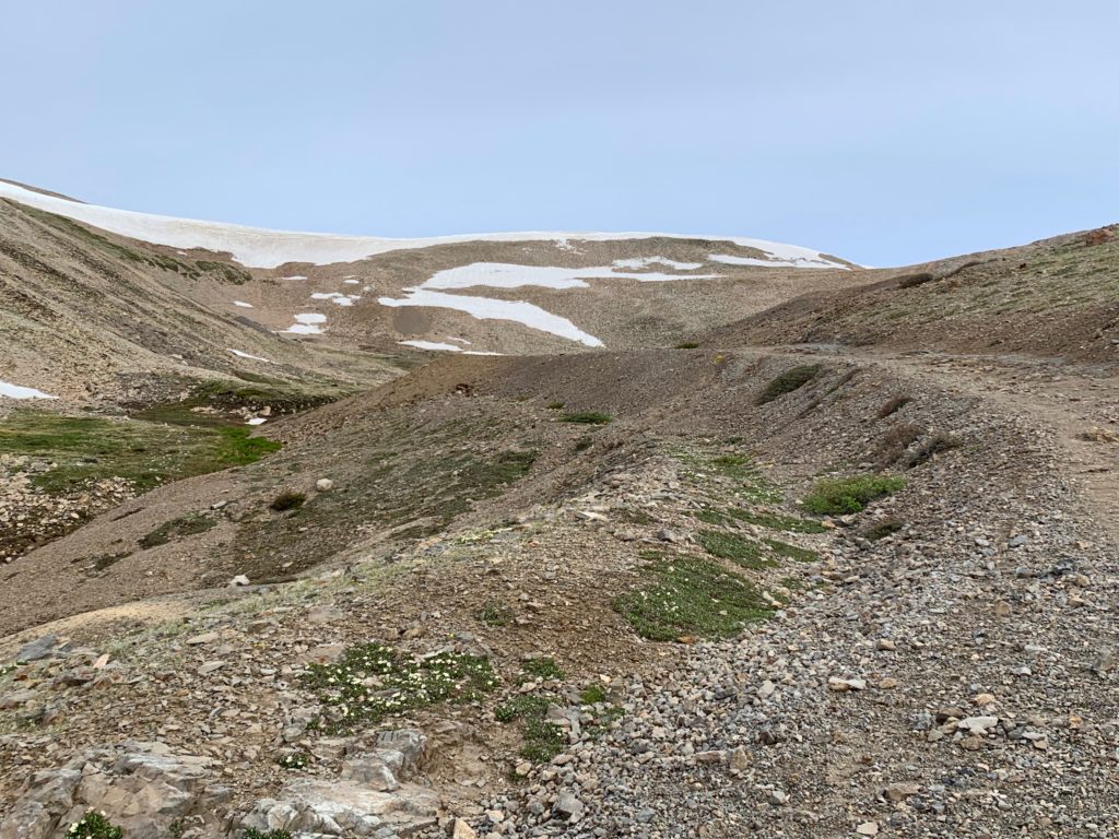
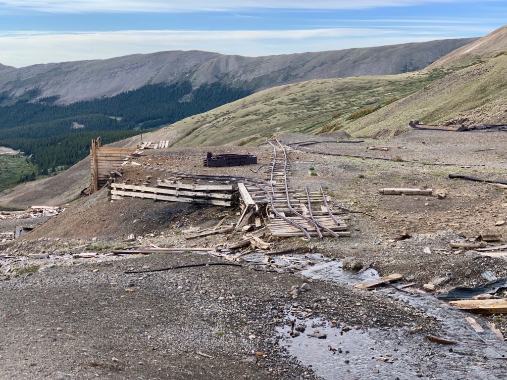
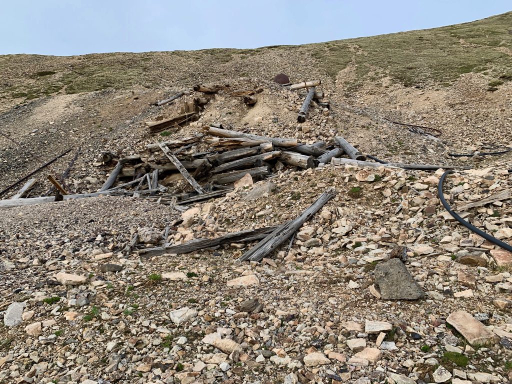
The initial road takes you into an area pockmarked with old mines and mining structures.
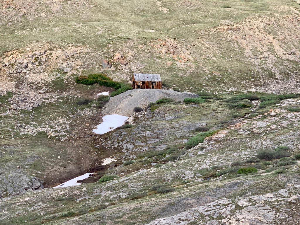
The historic Dauntless Mine.
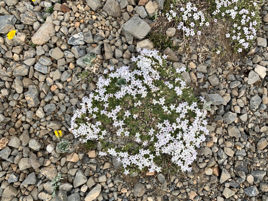
Once among the mines there are multiple roads leading in multiple directions. What I didn’t appreciate is that since these mining claims aren’t U.S. Forest Service land there are none of those nice USFS signs to indicate directions. And unbeknownst to us, this is where we went off track. Shortly after passing the Dauntless mine there’s a key right turn onto a second road, mentioned in the route description and marked with a cairn but missed by both of us as we were looking at the mines and the wildflowers along the route.


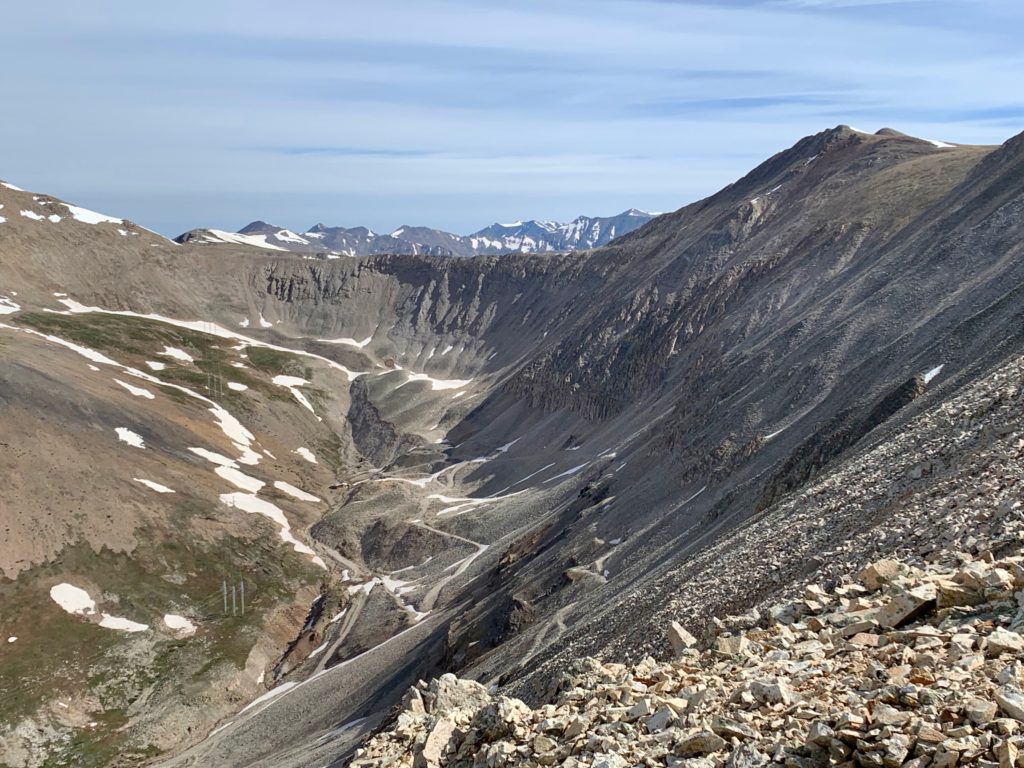
Instead, we stayed on the original road which took us through the mining area and straight up the steep face of the Mt. Sherman / Mt. Sheridan ridge and onto the scree field from hell.
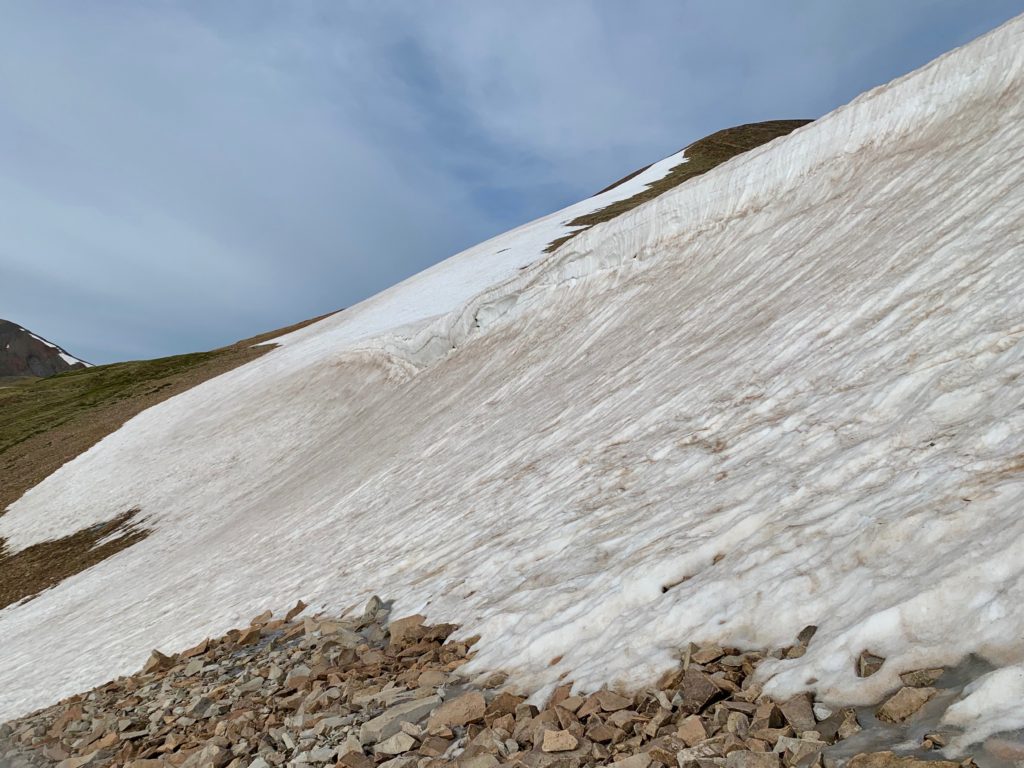
The climb was further complicated by several large snowfields that covered the east face of the ridge. Even people on the designated trail were required to do some freelancing to get safely over/around these sections.

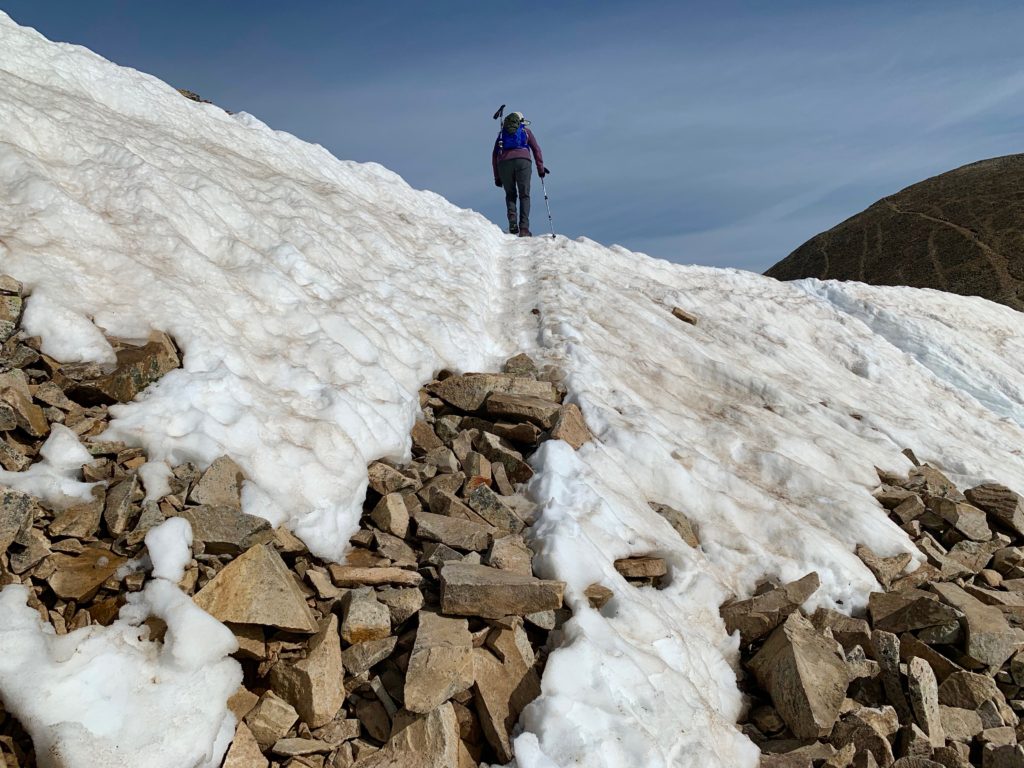
Off-trail, where we were, we were confronted with a large cornice blocking access to the ridge. This required a full-on detour over a field of unstable rocks on a steep slope to get ourselves back on track. There was some grousing among members of the climbing party.

At one point we looked down and saw people on a different road east of the route that we had taken. That’s when we realized our mistake.
Hey what are those people doing way over there?
Dummies must be off course.
You sure, because that looks a lot easier than this.
Uh…
At least the view from the scree field was nice.

Working our way back on route beneath the cornice.

After maybe an hour of extra-curricular traversing and down-climbing we made our way back on route, across another snowfield and to the top of the Mt. Sherman / Mt. Sheridan ridge. The ridge that takes you to the summit.

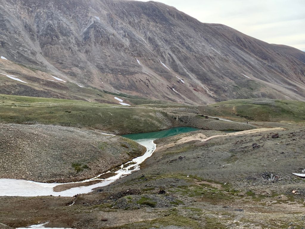
View of Mt. Massive and Turquoise Lake from the ridge saddle.
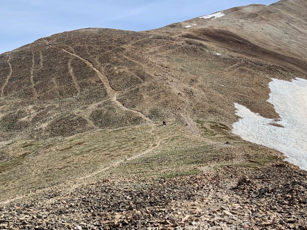
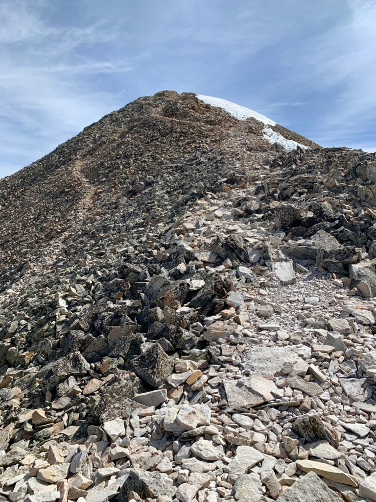
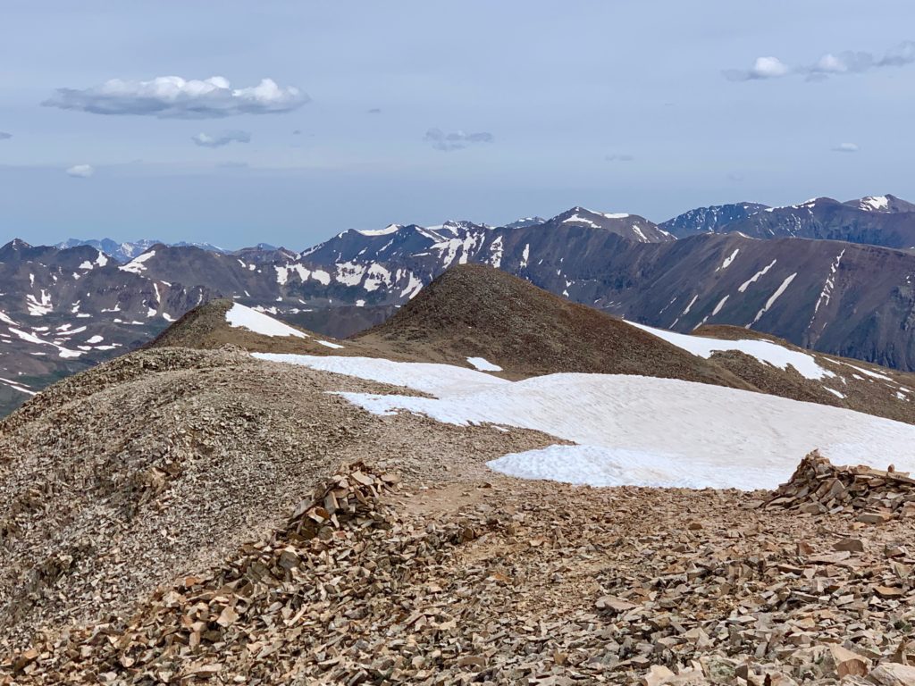
Looking at the first hump on Sherman’s ridge from the saddle. From this point on in our climb we had plenty of company from other climbers.
Looking up the second hump.
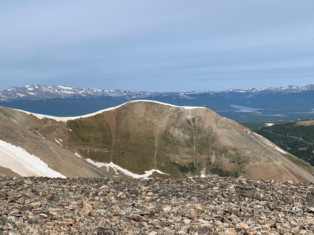
The view into Iowa Gulch on the Leadville side of Sherman.
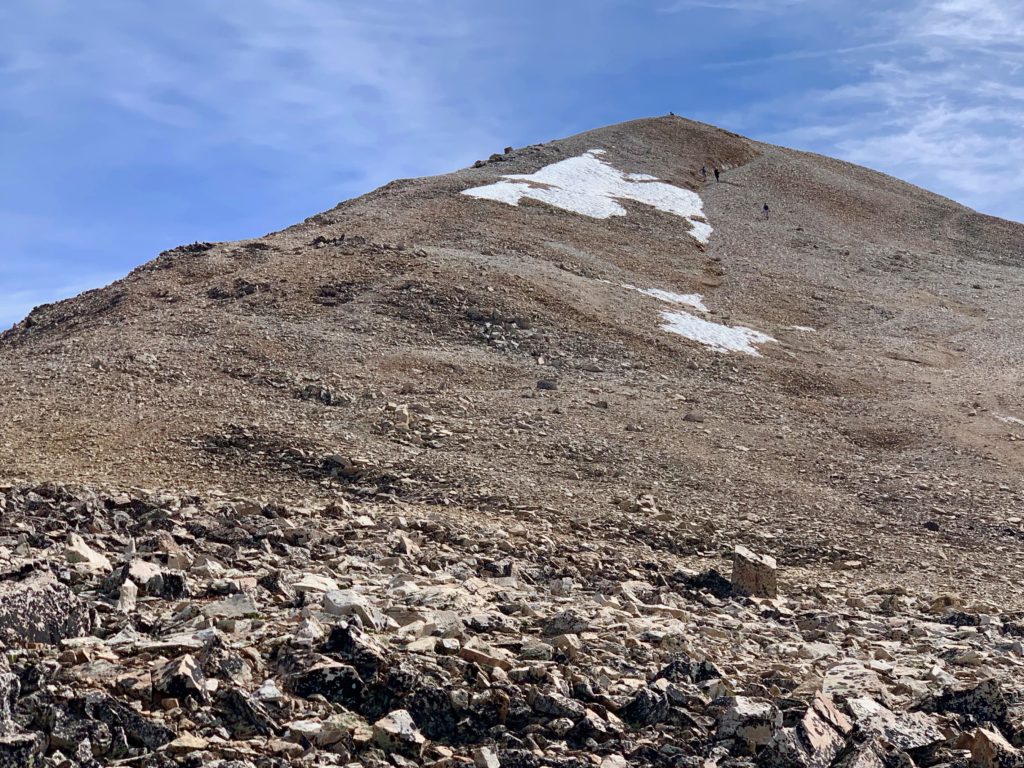
The trail steepens.
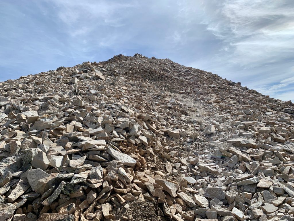
And narrows.


Final pitch to the summit.
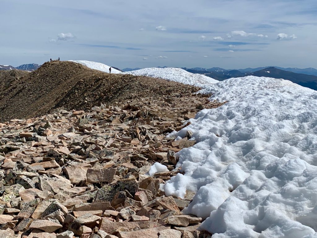
Made it! Well, except it’s way over there where those people are standing. Mt. Sherman has a long, narrow summit. Once you top out on the south end it’s about a 100 yard walk over to the actual summit on the north end, which is about twelve feet higher.
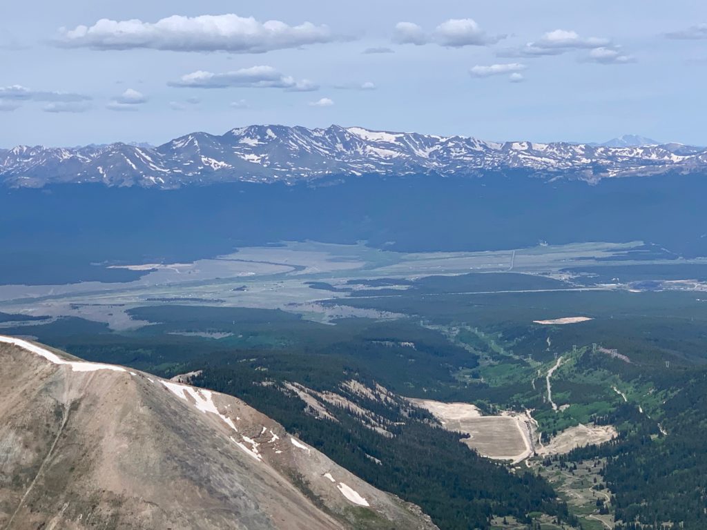
Because Mt. Sherman sits in the Mosquito Range between the Sawatch and Front ranges it provides some amazing views of those mountains as well as the town of Leadville.
Mt. Elbert, Colorado’s highest.
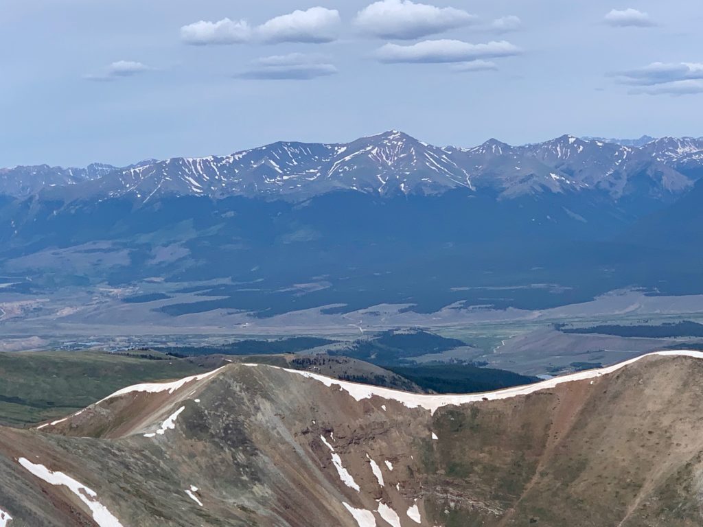
Mt. Massive, Colorado’s second highest.
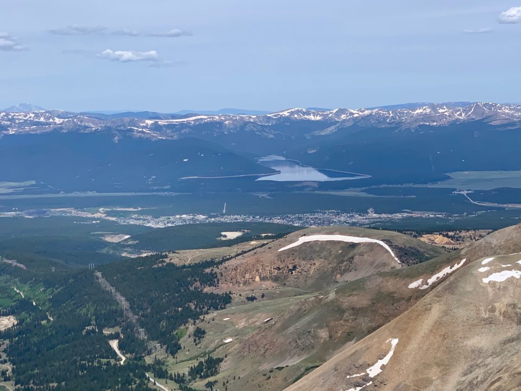
Leadville and Turquoise Lake
Mount of the Holy Cross to the northwest. Unfortunately the famous cross couloir is not visible from this angle.
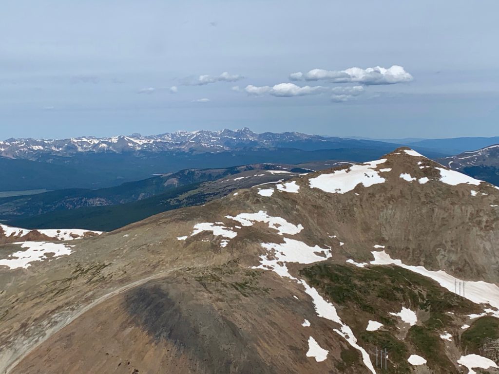
The rest of the Mosquito Range to the north.
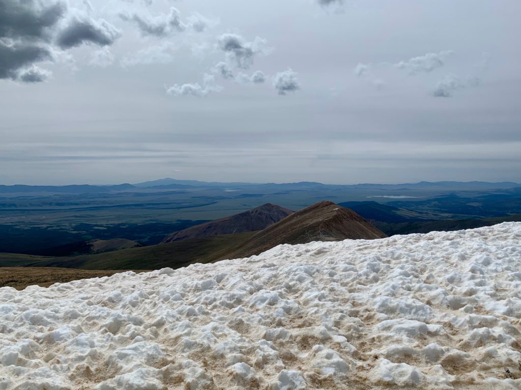
To the east, South Park with Pikes Peak on the horizon.
It was a cloudy but thankfully, windless day on the summit. We sat down for a leisurely lunch and chat with some of our fellow climbers. A brother and sister team offered us beers but looking to decrease our likelihood of tripping and falling on the way down, we declined. It felt great to be up high in the mountains again!
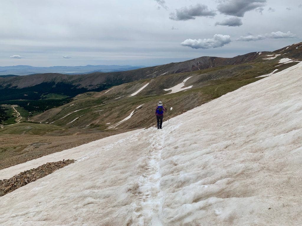
Heading back down across a snowfield.
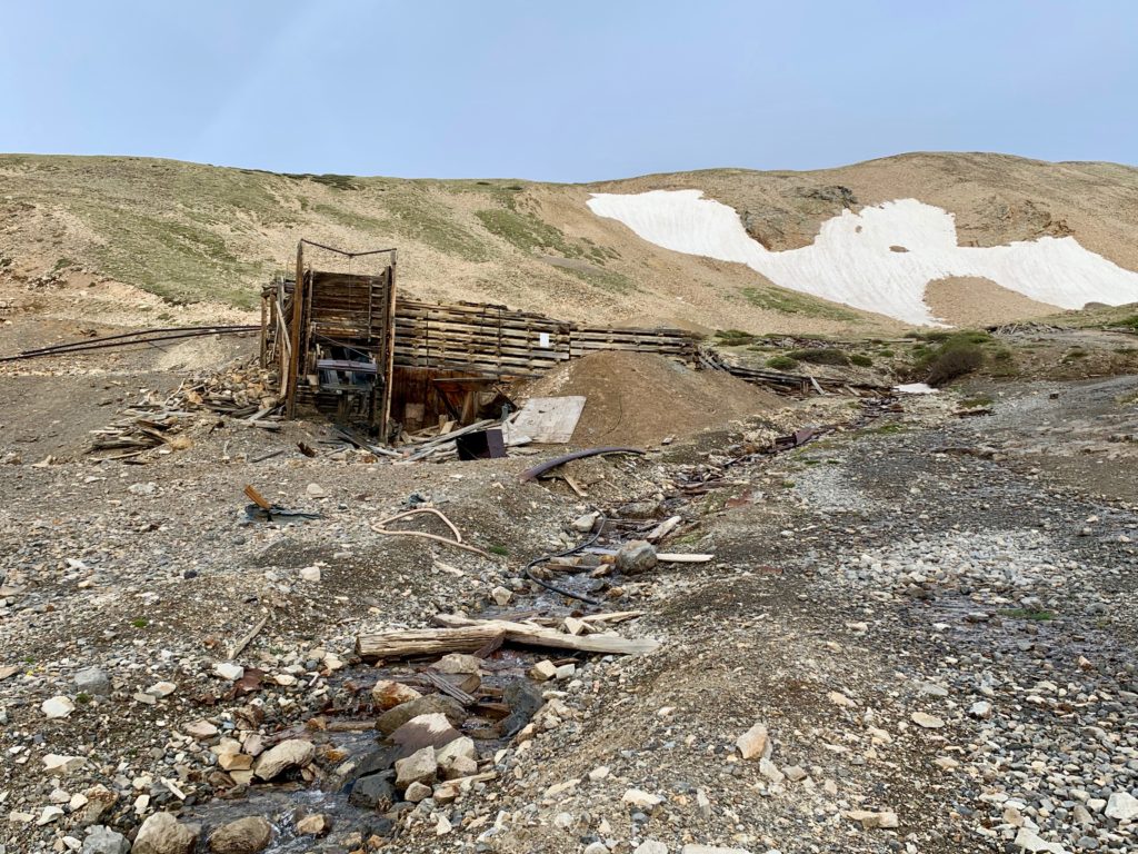
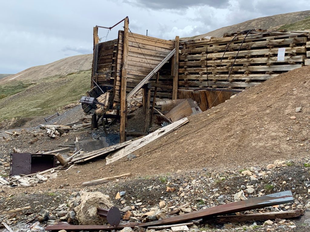
The remains of the historic Hilltop Mine, which we missed on the way up due to our unplanned detour.

Memorial plaque on a rock along the trail. Which tells me that even on “easy” mountains people die.

So what did I learn from our day on Mt. Sherman? Mt. Sherman was named in 1881 for U.S. Civil War leader General William Tecumseh Sherman, the guy that led campaigns that captured the Confederate strongholds of Vicksburg and Atlanta. The guy that led the famous “March to the Sea” through Georgia and the Carolinas that ravaged the resources of the Confederate Army and helped bring the Civil War to an end. Yeah, respect that guy and the mountain named after him.