No, not that one. The one in Colorado. Mt. Harvard (photo above).
In terms of 14ers in the immediate vicinity of Salida, I’ve now climbed all of them with the exception of one, Mt. Harvard. I’ve put off Harvard because it’s one of the more significant undertakings in the area. The third highest mountain in Colorado after Elbert and Massive, and the highest mountain in Chaffee County. Harvard has a long approach that makes for a 15-mile round-trip hike and over 4,800 vertical feet of climbing. I’ve previously done similar difficulty hikes but it takes a certain amount of bracing of the body and mind to get ready for such an adventure.
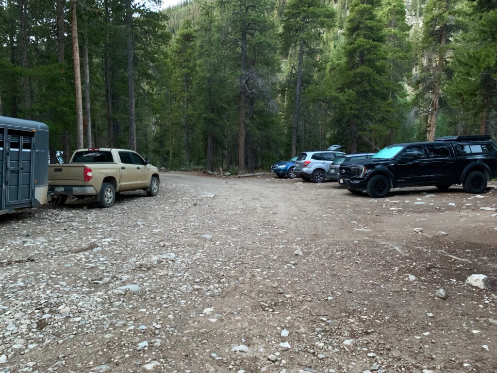
The trailhead for Mt. Harvard is called North Cottonwood Creek, an easy 15-minute drive out of Buena Vista on a narrow but good dirt road. When I arrived just before 6:00 a.m. the large parking area was already nearly full. I counted 20 cars and one horse trailer. Popular place.

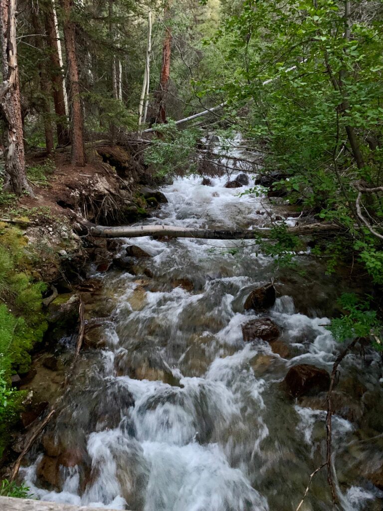
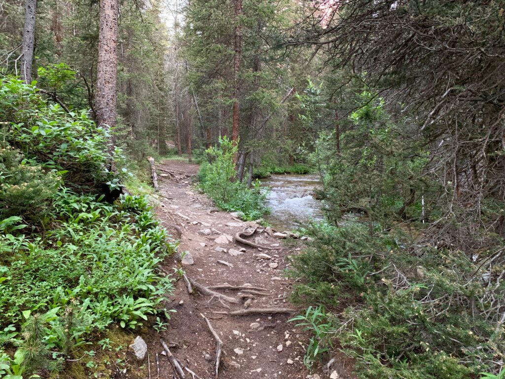
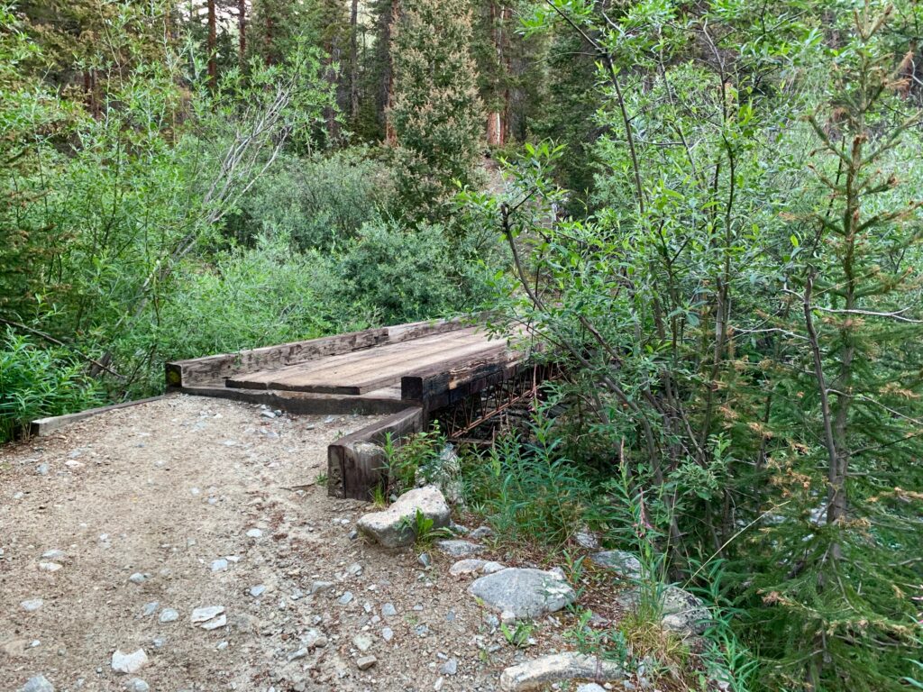
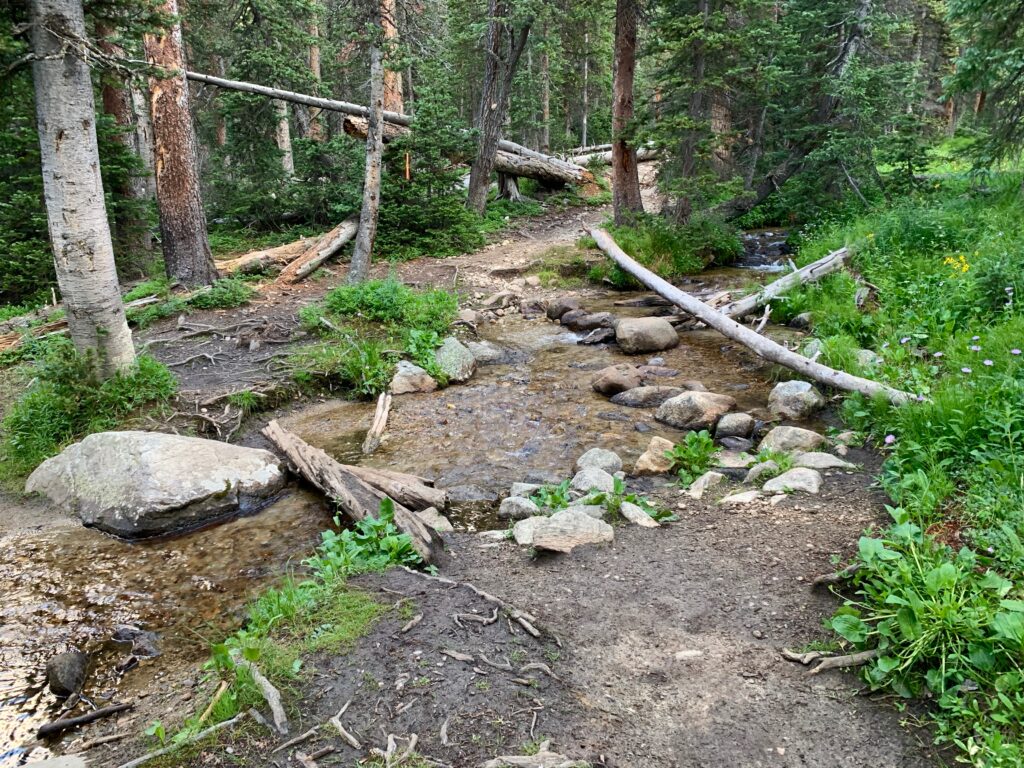
Just past the parking area, the trail crosses North Cottonwood Creek on a good bridge and then follows the creek up the drainage. The first mile and a half is smooth, gently ascending trail through dense forest.
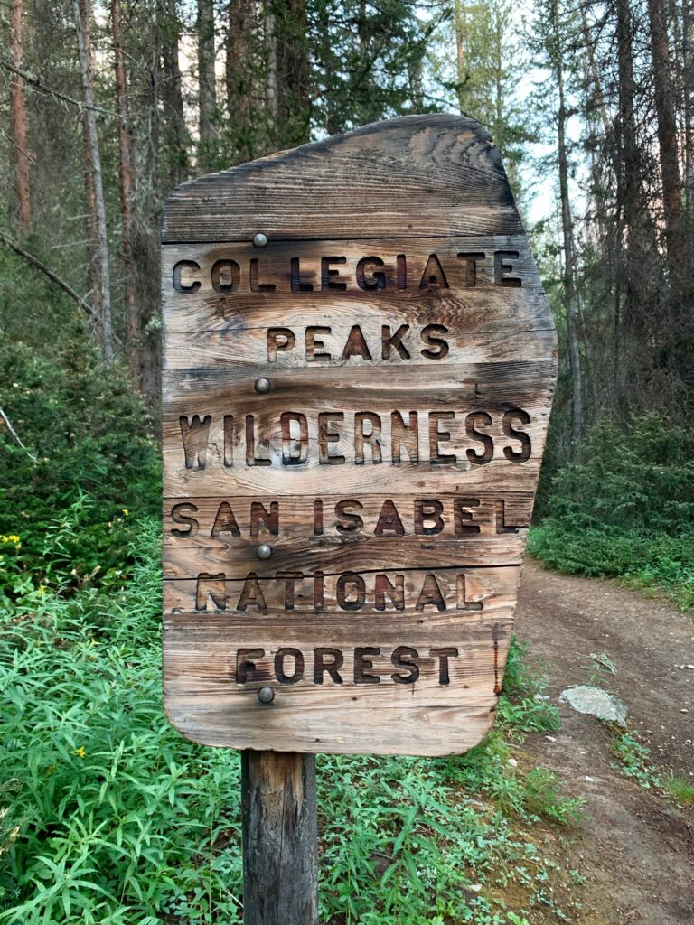

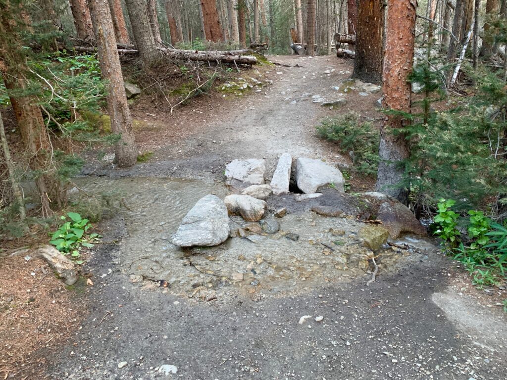
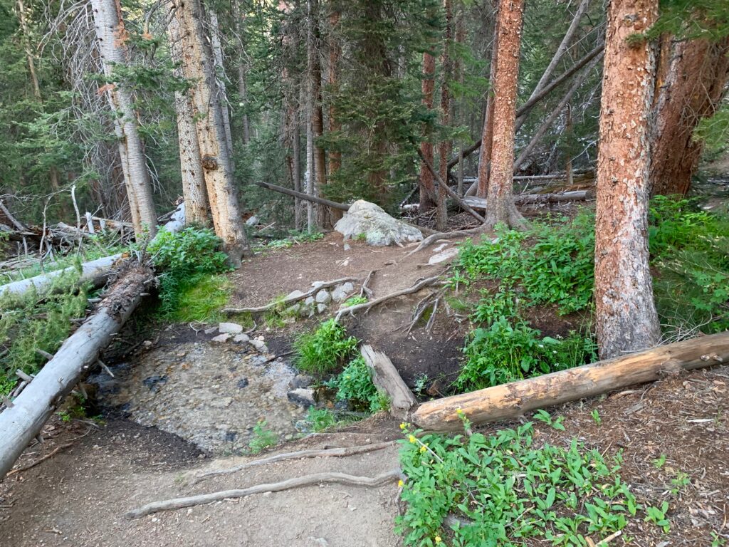
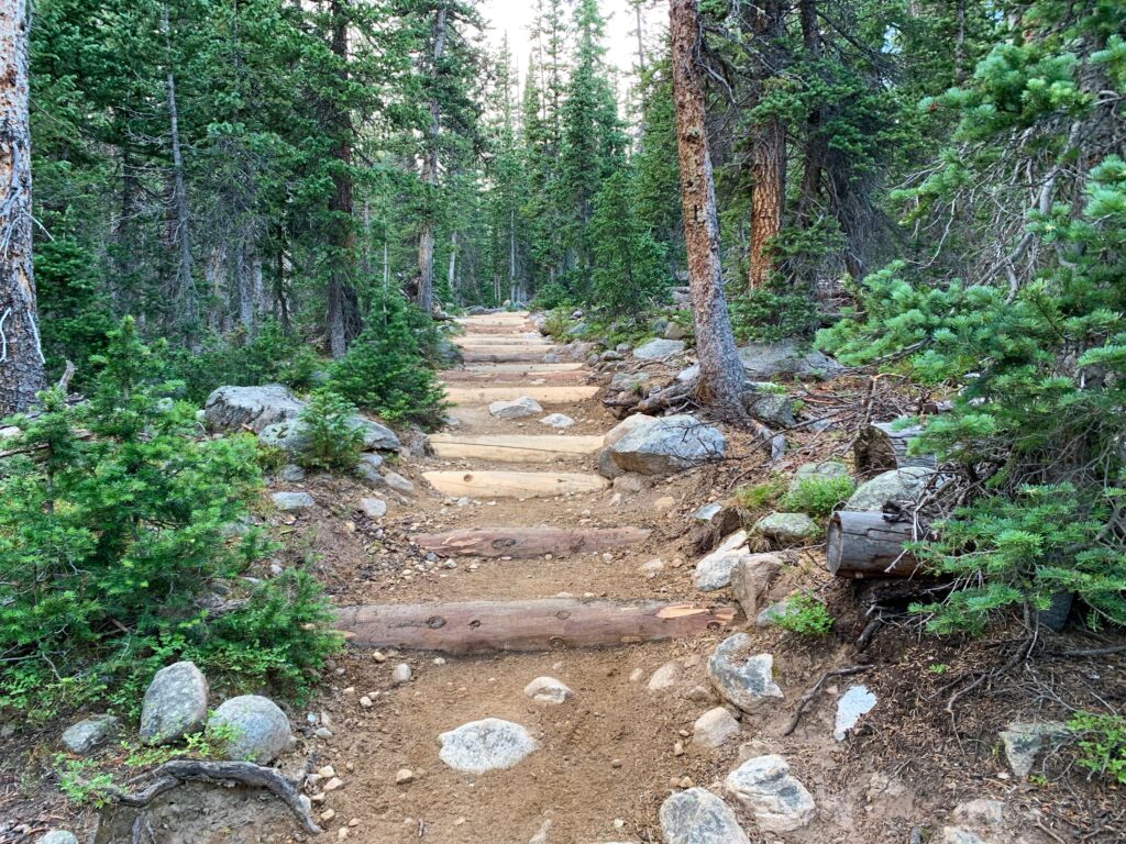
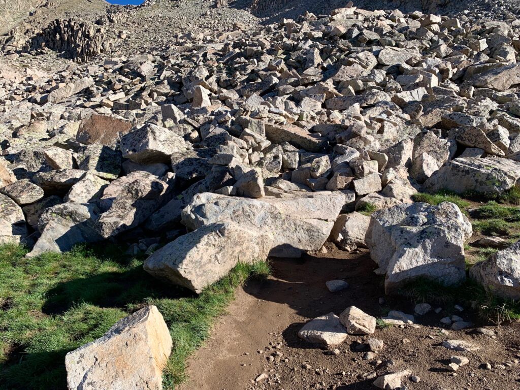
The trail re-crosses the creek and climbs more steeply for two miles into what’s called Horn Fork Basin. It is a well-marked and much-travelled trail. In one of the rockier sections there were signs of improvements made since the last time I’d ventured into Horn Fork last fall to climb Mt. Columbia.


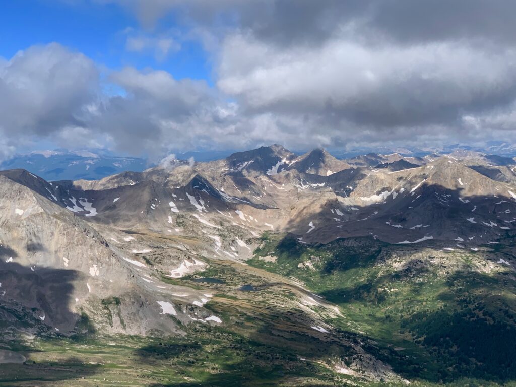
Straight to Mt. Harvard.

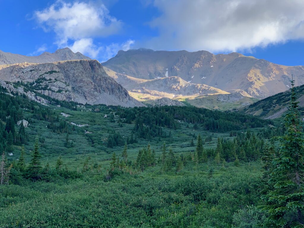
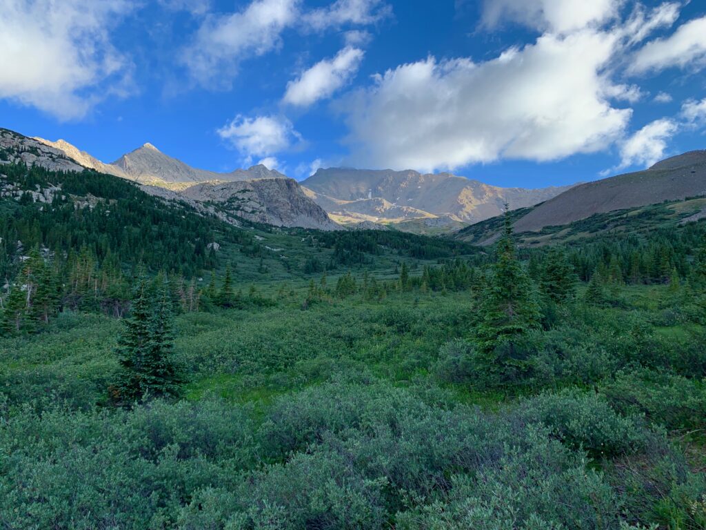
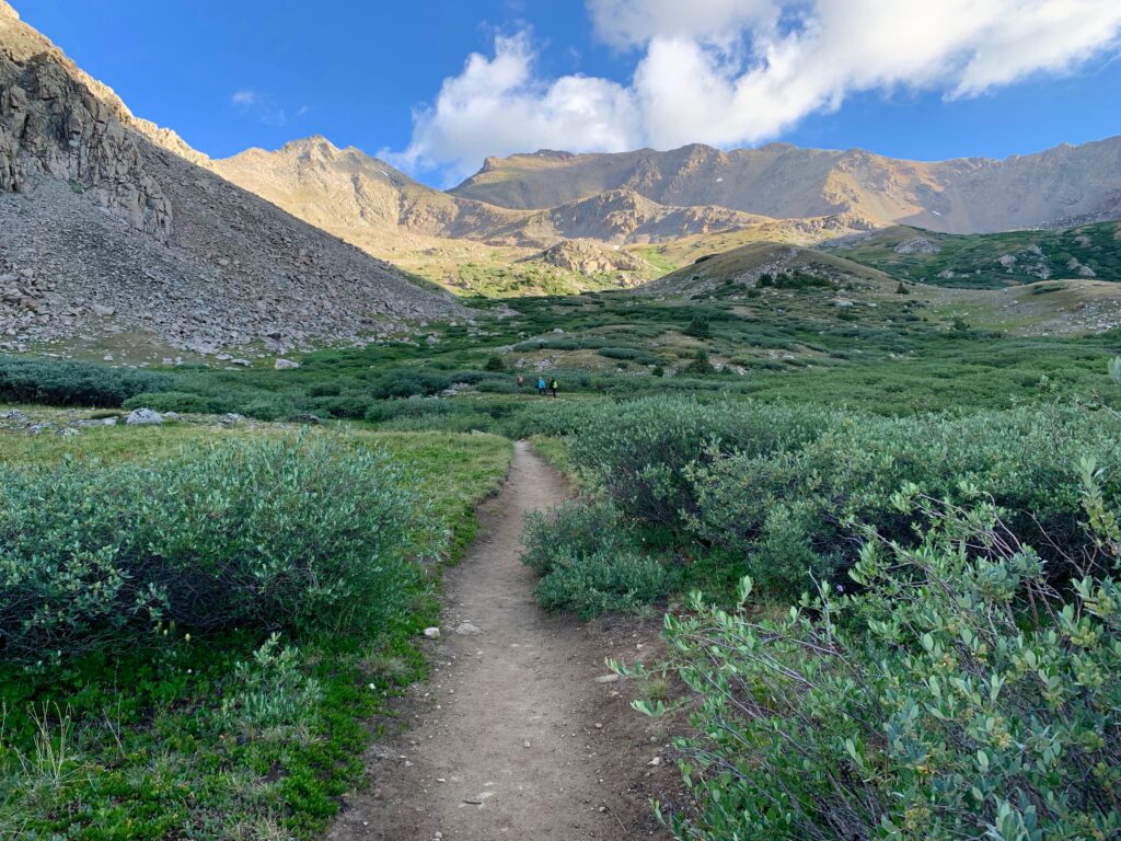
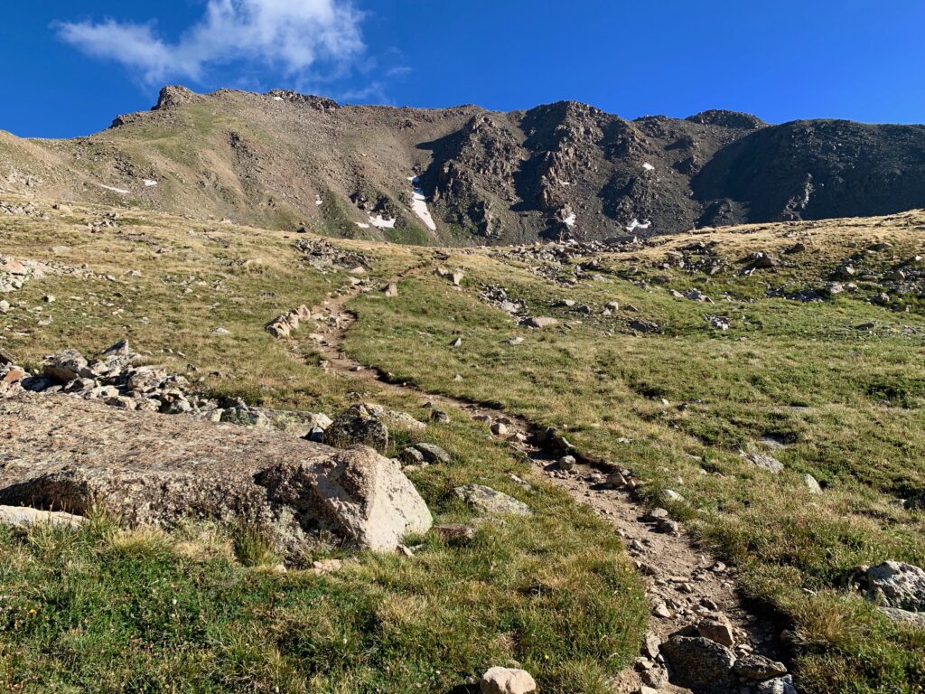
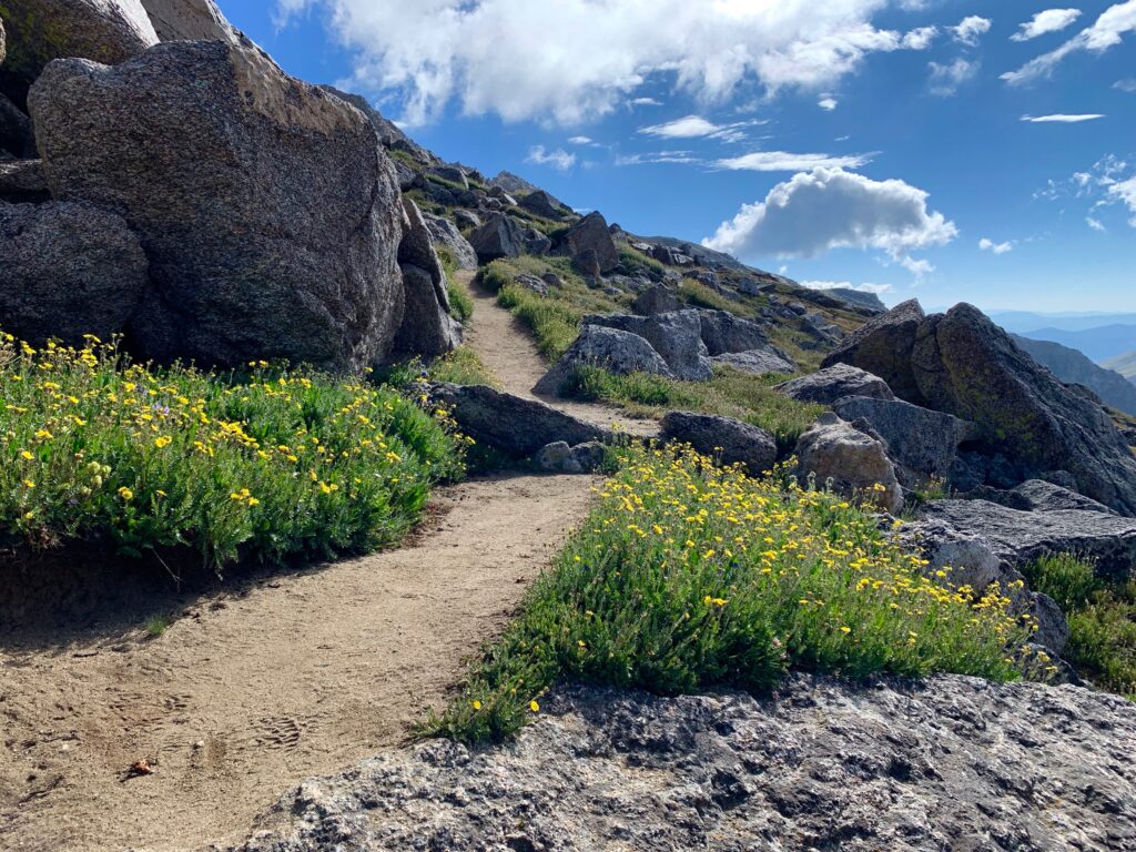
Just past the sign for Mt. Harvard, I entered the south end of Horn Fork Basin. The trees become smaller and more dispersed and the views begin to open up.

Then I turned a corner on a small rise. At the far north end of the basin I caught my first glimpse of the objective for the day. Mt. Harvard.
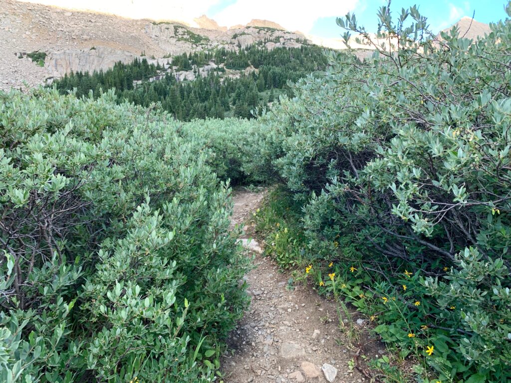
The next mile or so is a gentle stroll through thick willows. The sound of the cascading North Cottonwood Creek is always nearby.


As I broke timberline near the center of the basin, I caught another group of hikers also making their way up to Harvard.
Mt. Columbia stands on the east side of Horn Fork Basin and in the morning sun it casts its 14,000-foot shadow across the entire south end of the valley. A full two hours after sunrise, as I climbed into the upper basin I finally broke into the sun. I stopped for a short break and turned around to see where I’d been. The views didn’t disappoint. That’s Mt. Yale with its summit shrouded in clouds at the south end of the basin.
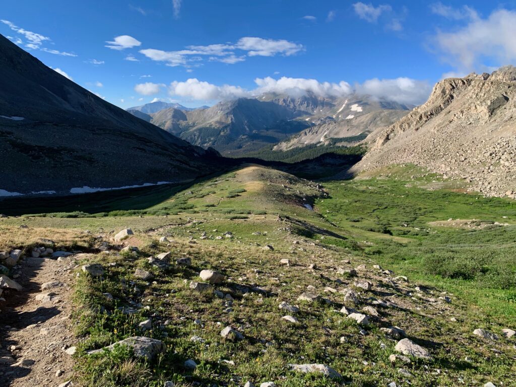
On the west side of the basin is the jagged, un-named but striking 12,000-foot peak above Bear Lake.
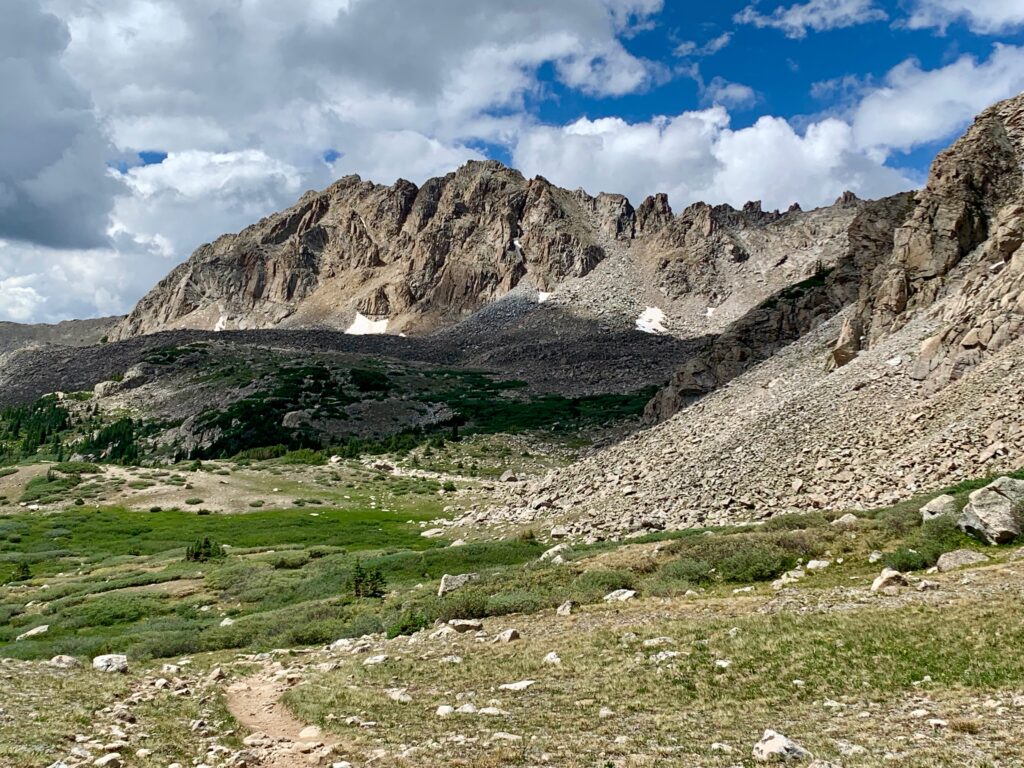
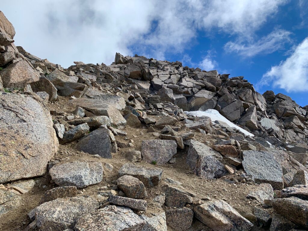
As I got closer to Harvard the summit disappeared behind this rocky ridge. To get to the summit, first you have to get over this ridge.
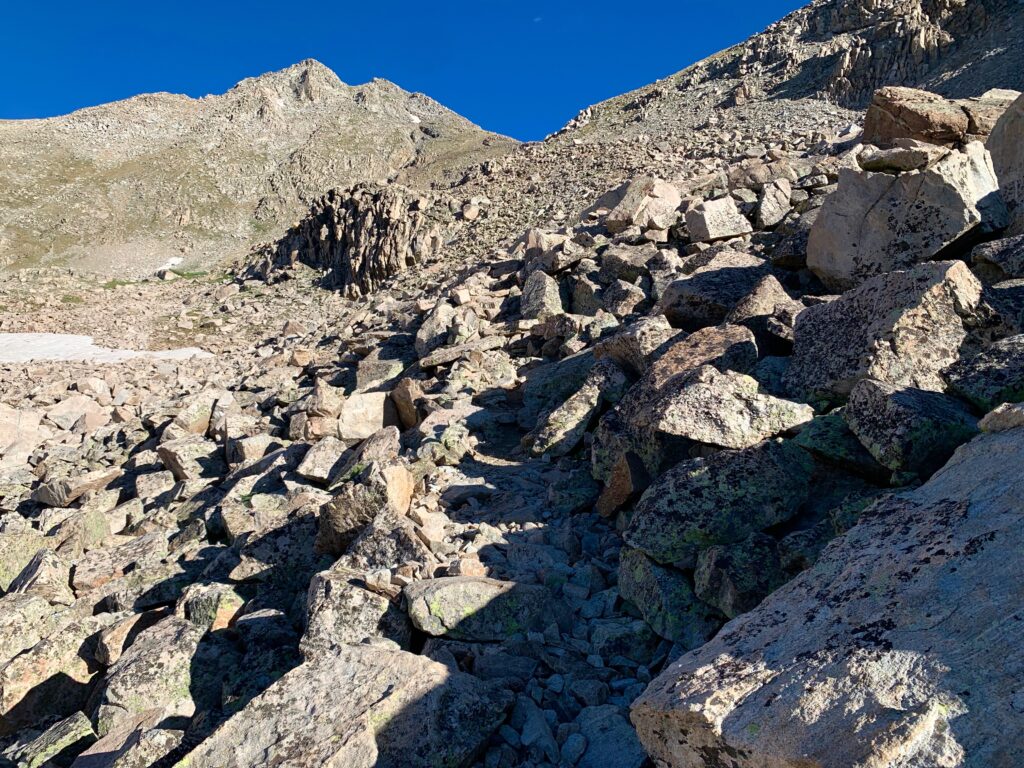
On top of the ridge the terrain flattens out briefly. Harvard’s summit comes back into view and things begin to look decidedly alpine.

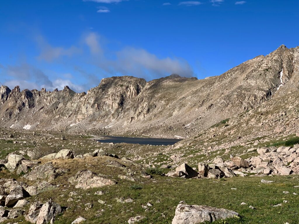
First look at Bear Lake.
Hello, Mr. Marmot.

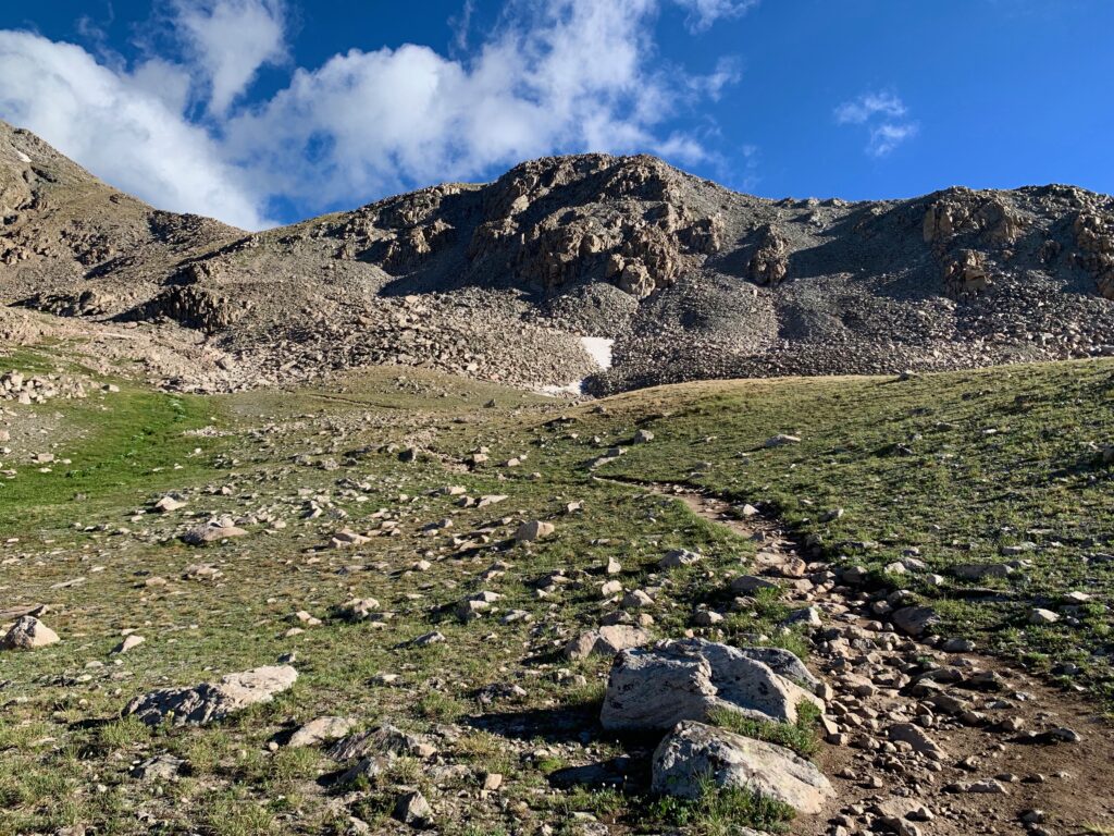
Heading up Harvard’s summit ridge.

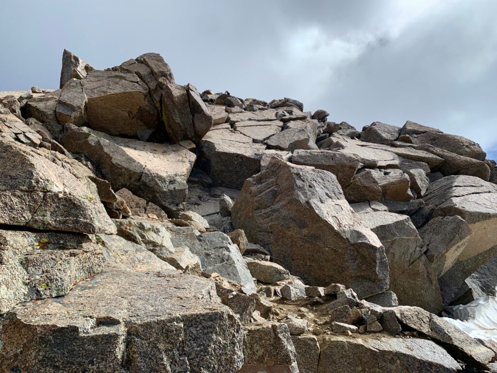
By far the most entertaining part of the climb was the last 30-40 feet up this, Harvard’s summit block.
It’s basically a huge pile of refrigerator and car-sized hunks of granite. The trail description for Harvard says this route is a class 1 – 2 hike but I felt this last bit went to class 3. You have to use your hands to pull yourself up, which is the definition of class 3 climbing. But it’s limited exposure, non-scary class 3. Fun stuff! For a sense of scale that’s a person standing on the summit in the center of this photo.
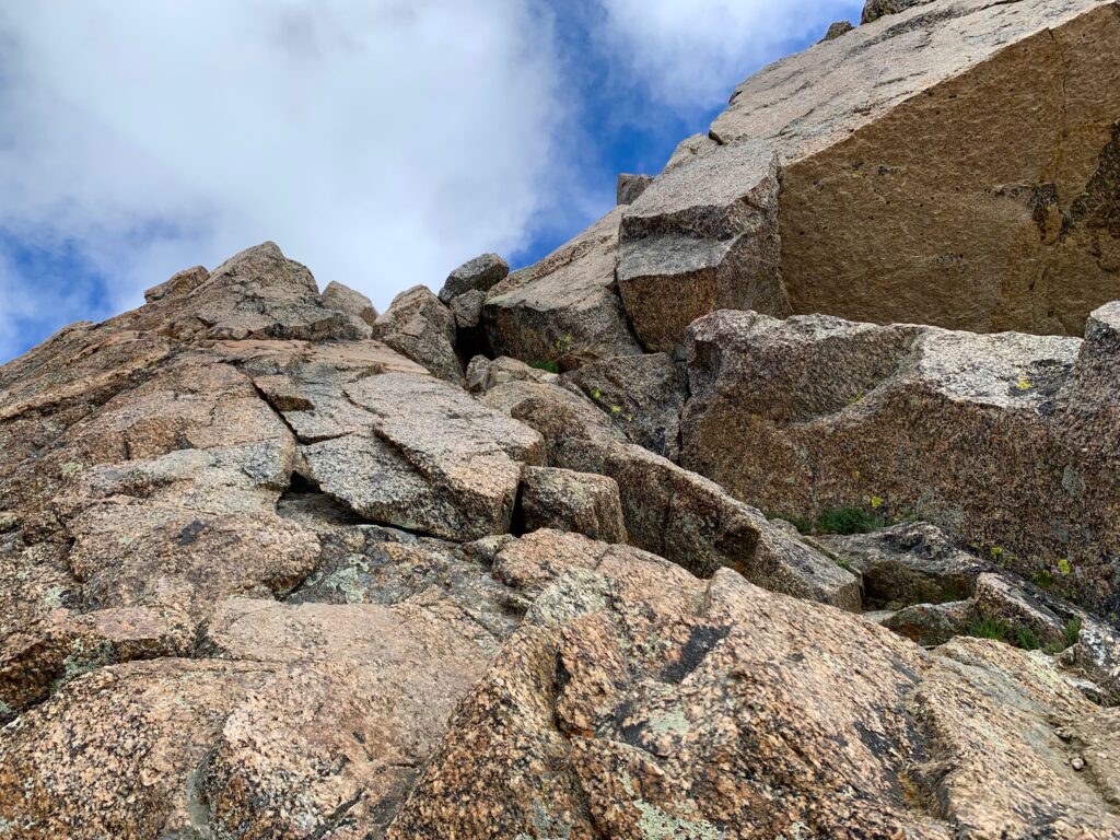
First section.
Second section.

Summit!

And looky! What’s this?


For such a huge mountain, Harvard has a remarkably tiny summit. When I arrived, there were already four people there and it felt crowded. Fortunately, three left just as I was taking off my pack to stake my claim to a lunch rock.

But no sooner than they left, a couple more came up.

I loved the views off of Harvard’s summit. Being in the middle of the Collegiate Peaks wilderness and the tallest mountain around, there were 14ers visible in every direction, all of which I have climbed. Which is kind of a cool feeling.
Horn Fork basin was even more gorgeous from this perspective. That’s Mt. Columbia on the left, Bear Lake on the right, with Mt. Princeton and Mt. Yale, still in the clouds, in the center.
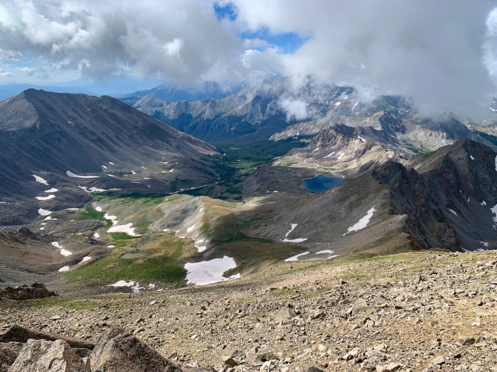
The remote Pine Creek Basin to the northeast.
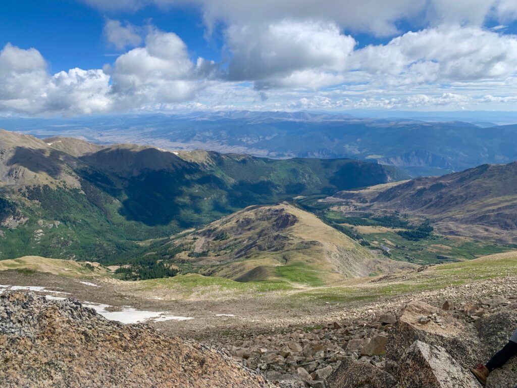
Mt. Belford and Mt. Oxford to the north.
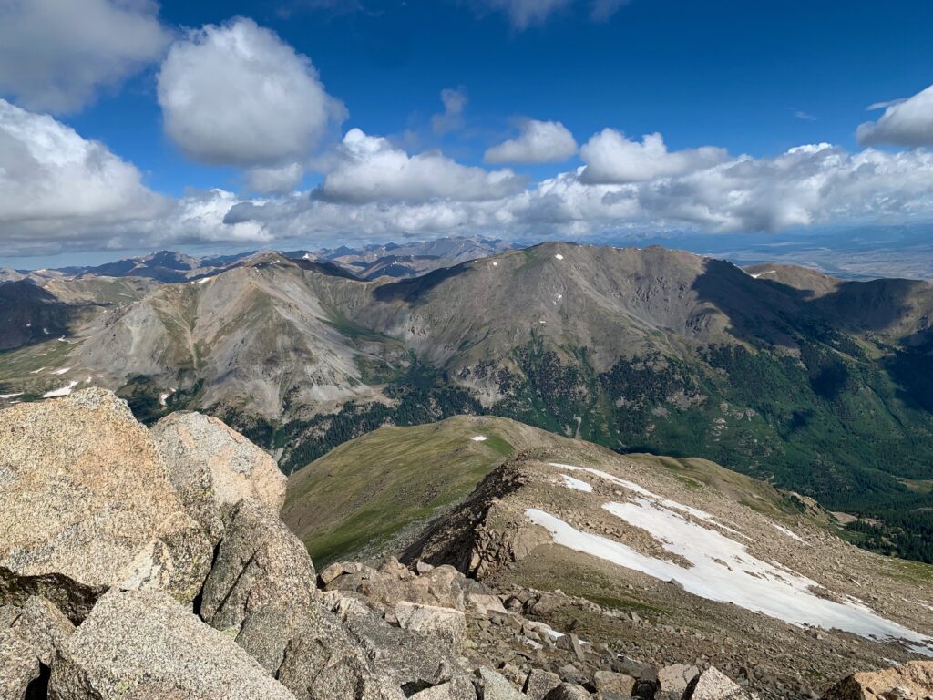
To the northwest, left to right, Huron Peak in the sun, Missouri Mountain in the shade, and La Plata Peak on the horizon.
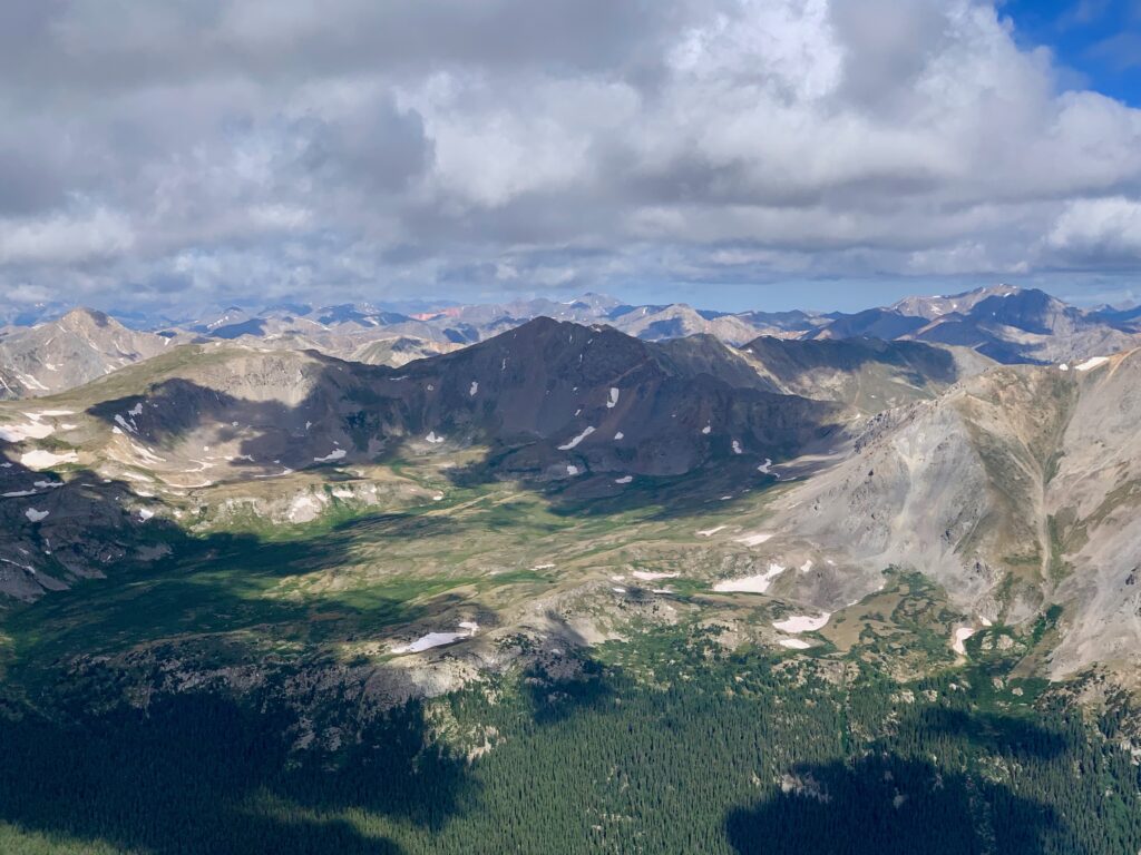
And a bunch more Sawatch peaks stretching to the west as far as the eye can see.
With my climb of Harvard, I’ve completed all of the nearby 14ers and a few farther afield, 22 and counting. From here on out the climbs get more technically difficult and/or farther away. I’m not sure which will become the more limiting factor. As I said before, I doubt I’ll ever manage to do all the 14ers. After climbing the ones I have, I’ve decided my goal is to climb all the ones that don’t scare the crap out of me. To that qualification add, all the ones that I feel are worth the drive.
