After my recent ignoble defeat on the Wetterhorn, I was thinking that I would be ending my 2022 climbing season on a down note.
Usually by mid-October the high country starts getting snowed in and I hang up my hiking boots with visions of powder ski runs dancing in my head. And while some people in Colorado climb mountains year-round, climbing in the winter requires a whole different set of skills and equipment, not to mention a level of commitment that I don’t know if I’ll ever develop. I mean, I like climbing 14ers but it’s COLD in the mountains in the winter.
But this year we have been experiencing a beautifully mild autumn with sunny days in the 70s and only a dusting of snow on the highest peaks. So why not try to put the memory of the Wetterhorn behind me by climbing another 14er? No overnighter, I wanted something easy to get to, something local. My target was Mt. Columbia in the Collegiate Peaks just northwest of Buena Vista.
I left Salida at 6:00 a.m. on a calm, clear, 40-degree morning and got to the North Cottonwood Creek trailhead just as the sun was coming up at 7:00 a.m.

When I stepped out of the car I could hear what sounded like a roaring creek nearby. But there was no creek. Looking up I could see the giant pine trees swaying wildly in the wind. Well, that’s weird. There was no weather in the forecast and it’s not usually windy at dawn unless there’s a storm blowing in. I double-checked the forecast on my phone. Yep, still set for clear and sunny all day, no mention of wind. Strange. There was only a light breeze at ground level but I could tell if it was that windy at the treetops, things were going to be interesting at 14,000 feet.
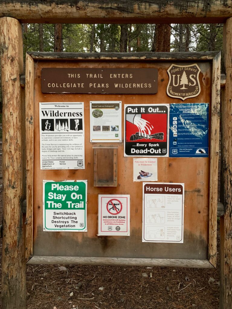
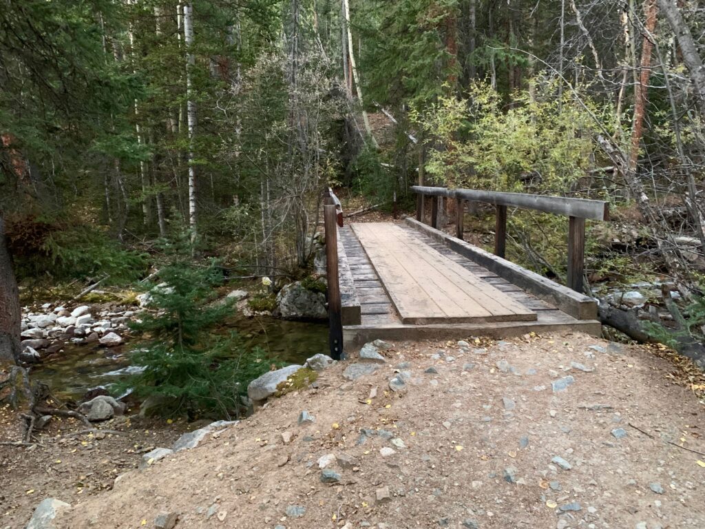
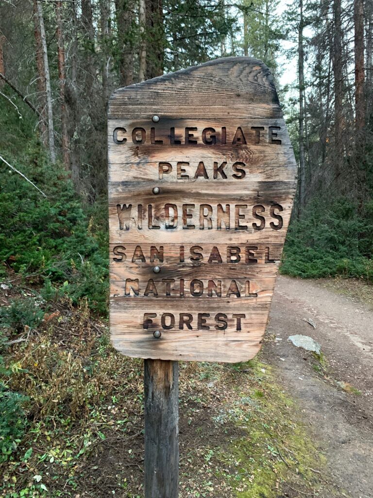
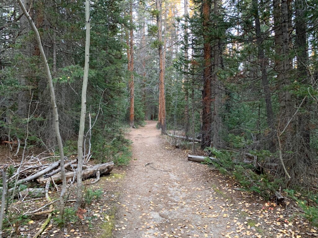
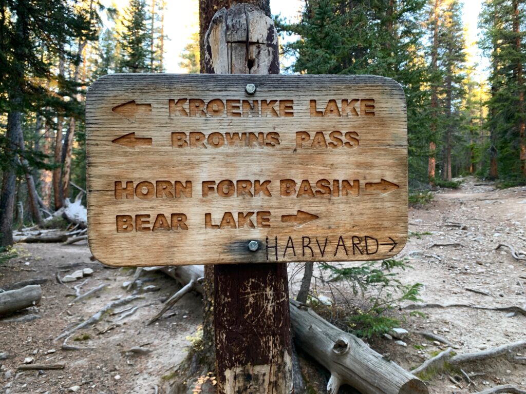
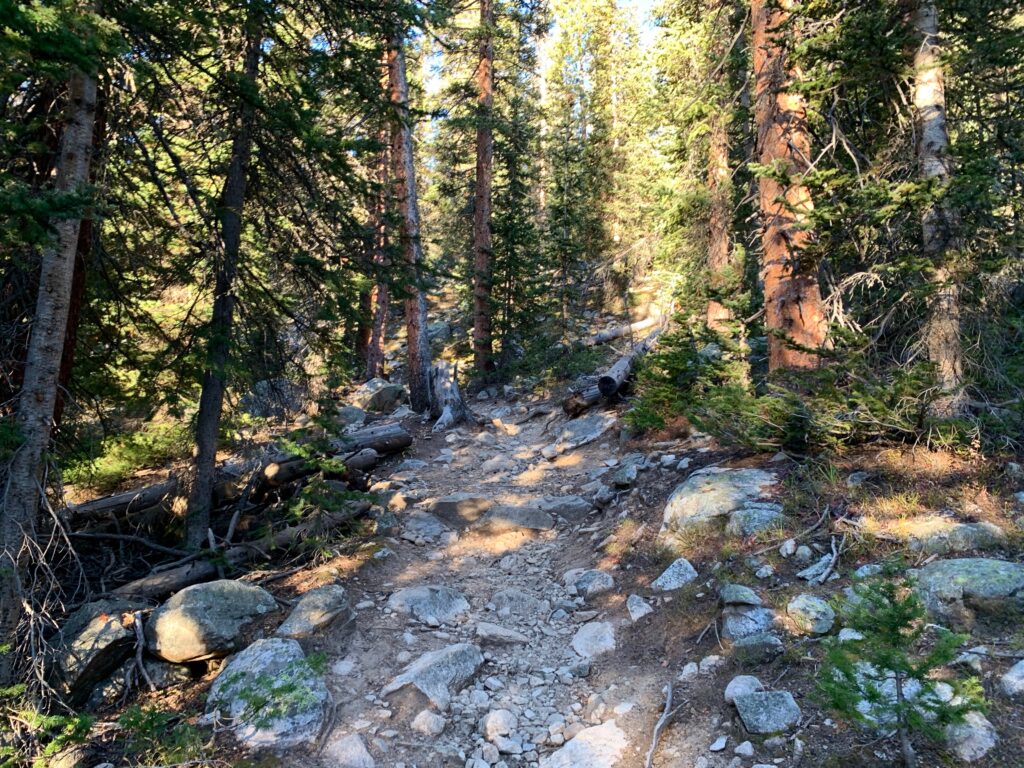
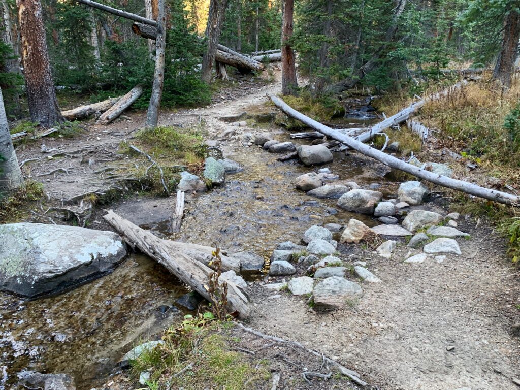
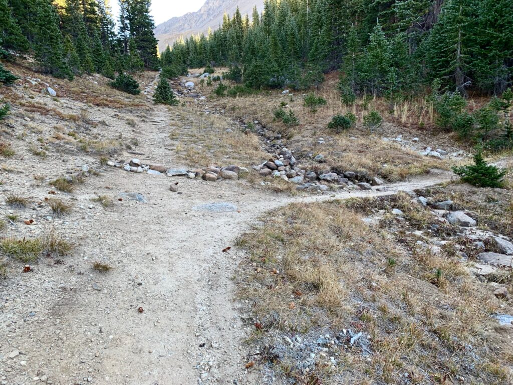
The trail for Mt. Columbia joins North Cottonwood Creek and follows it west into the Collegiate Peaks Wilderness, then turns north into what’s called the Horn Fork Basin. It’s a gentle approach on a well-worn trail through thick pine and aspen forest.

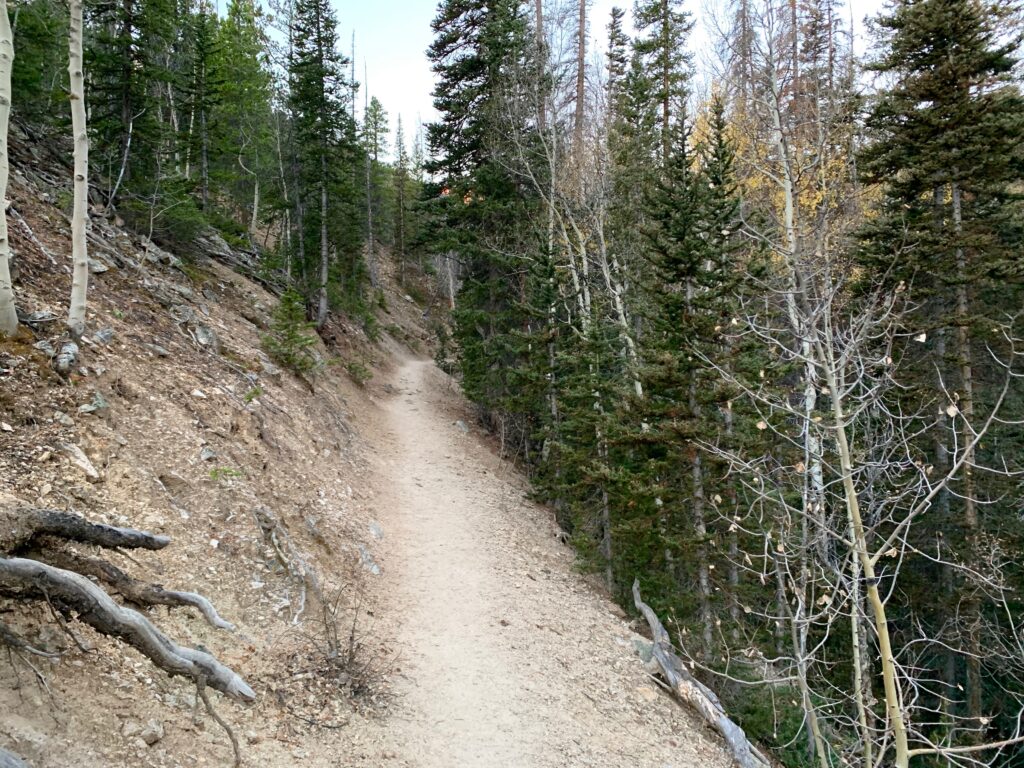


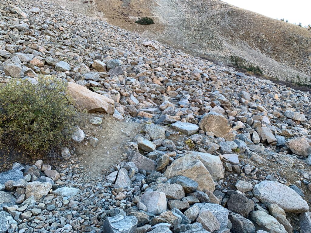
At approximately 2.0 miles the trail for Colombia turns right and heads north into the basin. The trail steepens and becomes considerably rockier.
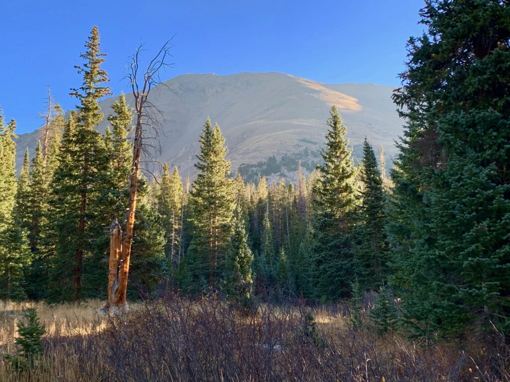
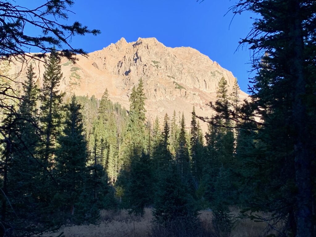
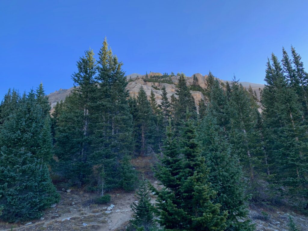
The morning sun hitting the surrounding peaks.

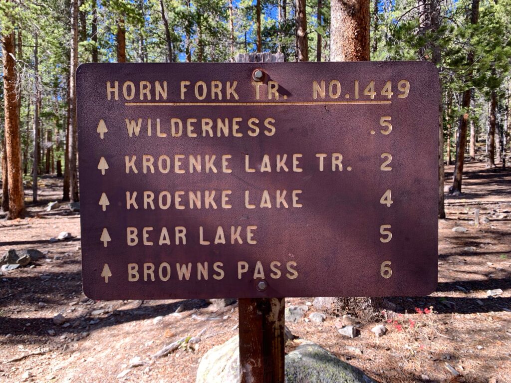
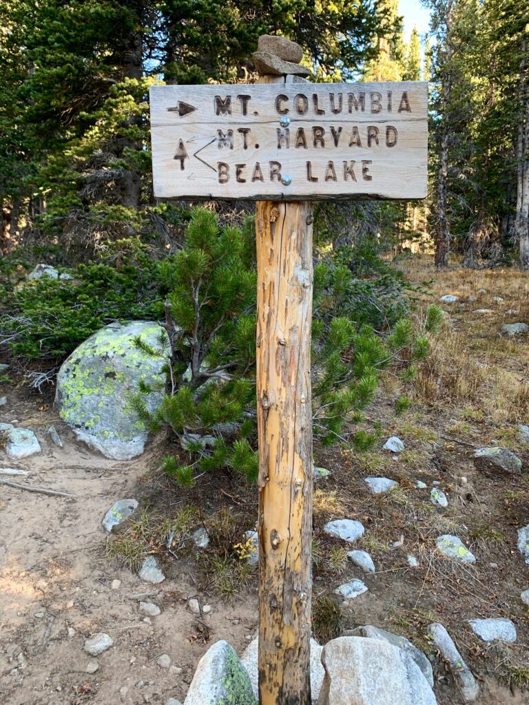
At 3.5 miles the trail branches again with Columbia to the right and Mt. Harvard and Bear Lake straight ahead. Not today Harvard, not today.
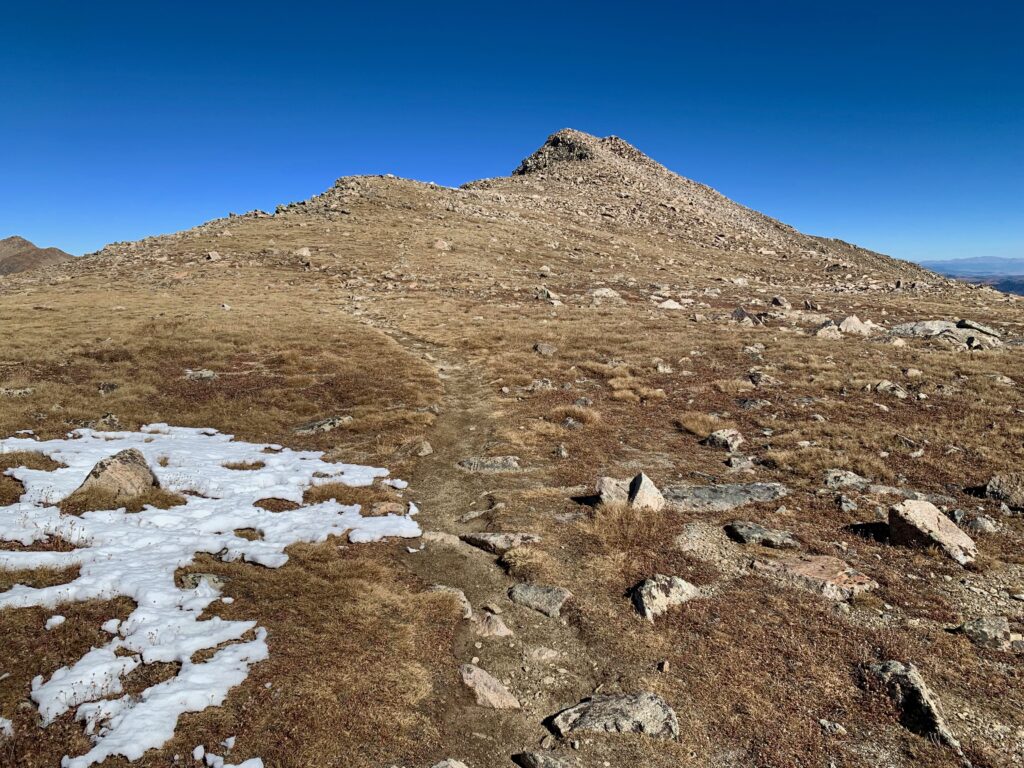
Starting up Columbia’s rocky west ridge.
As I broke through tree line, Columbia came into full view. The wind, which had been mostly a sound effect up to this point, started to become a real factor in the climb. The trail follows Columbia’s west ridge and the wind was out of the west so once out on the exposed face it was constantly pushing me forward or holding me back depending on which way the switchbacks were heading.
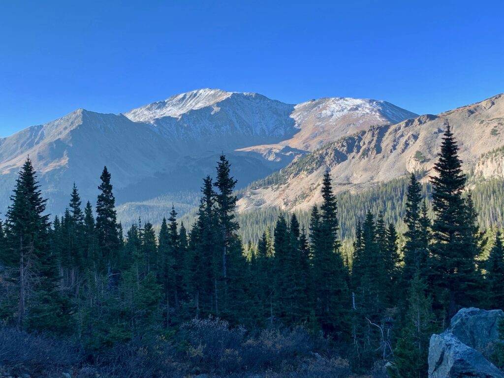
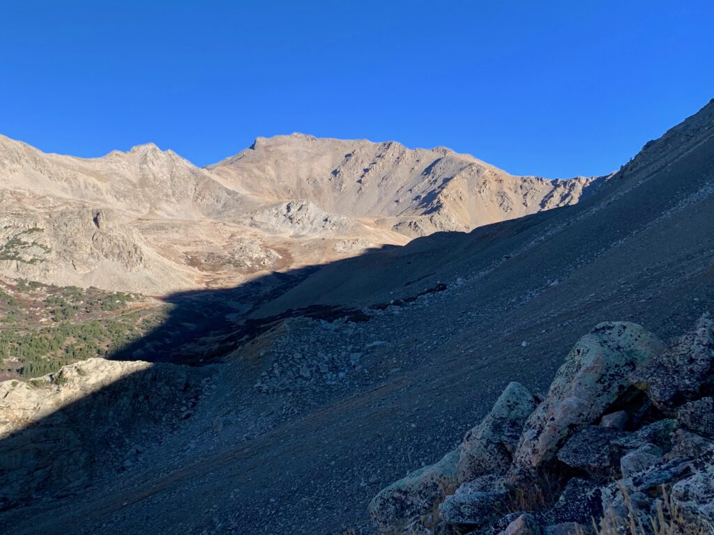
The snowy north face of Mt. Yale to the south.
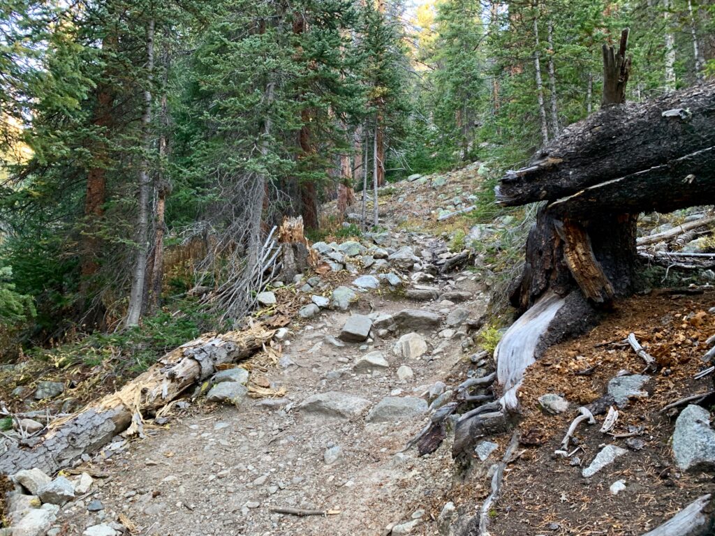
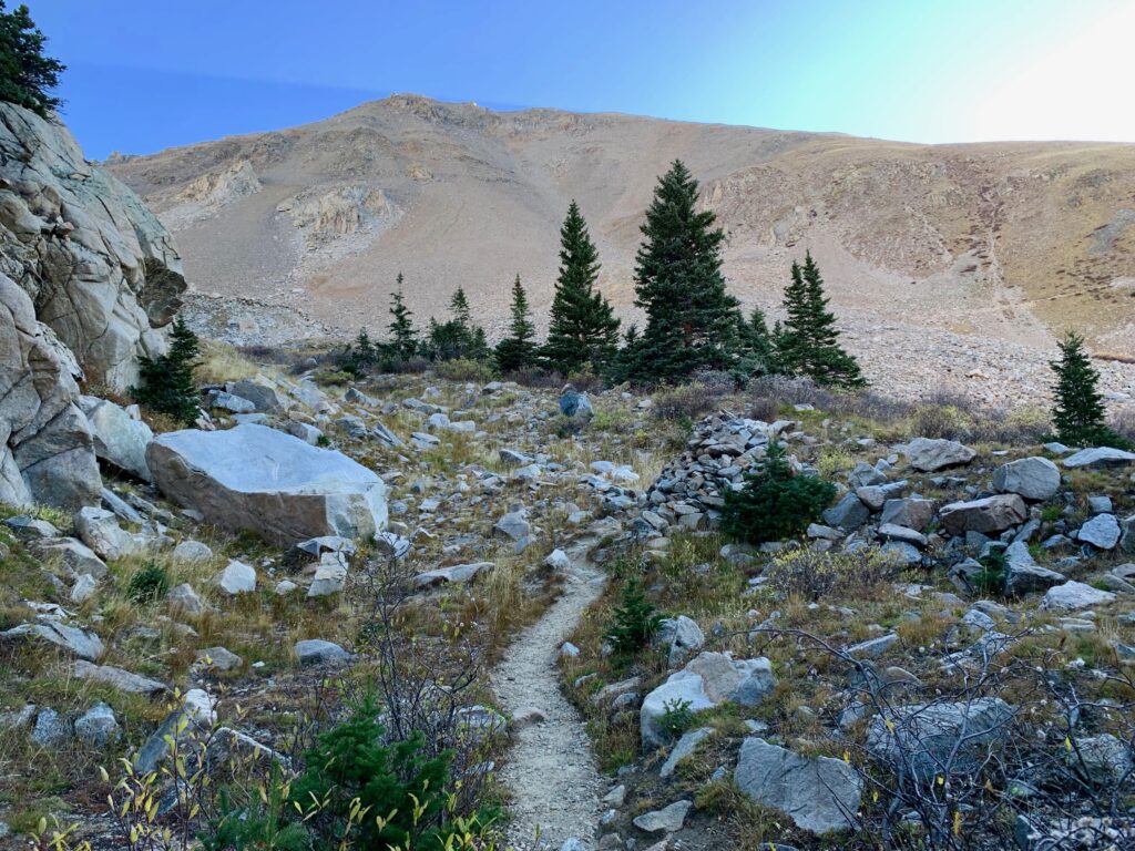
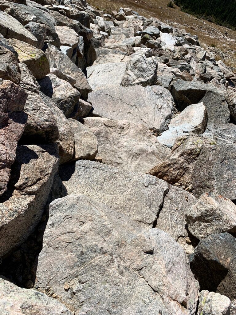
Excellent trail through the boulder field courtesy of Colorado Fourteeners Initiative.

The morning sun hitting the south face of Mt. Harvard.
The initial traverse completed, looking up the remainder of Columbia’s west ridge.

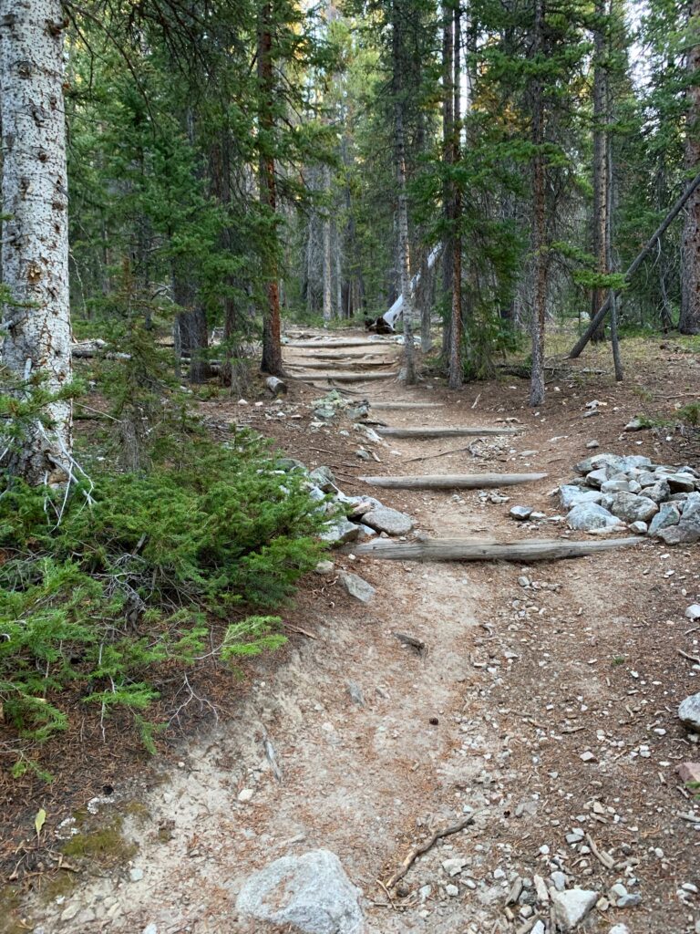
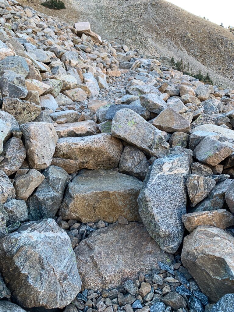
CFI has done some amazing work smoothing and stabilizing this trail. Most remarkable are these massive stone steps, multiple sets of them set into the hillside. How do they even do that?!
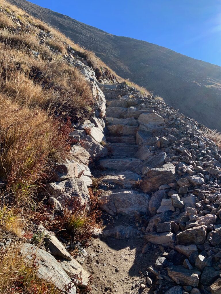
But all good things come to an end. At about 13,300 feet the trail steepens and gets more rugged and less defined.
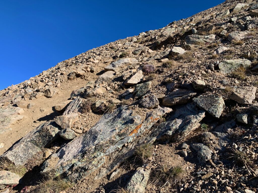
Until it disappears completely, becoming a class 2 rock scramble.

I got an interesting lesson in route finding at this point. I was climbing through the boulders following cairns left by previous climbers. At first the cairns were easy to spot but eventually they disappeared and I was left to my own devices for route finding. It took me way too long to realize that the cairns were taking me east, away from the summit.
I scrambled straight up the steep face to the top of the ridge, only to find the summit quite a bit farther away than it was supposed to be. I probably wasted a half hour on this unplanned detour. Lesson learned: just because someone placed a cairn doesn’t mean they knew where they were going.
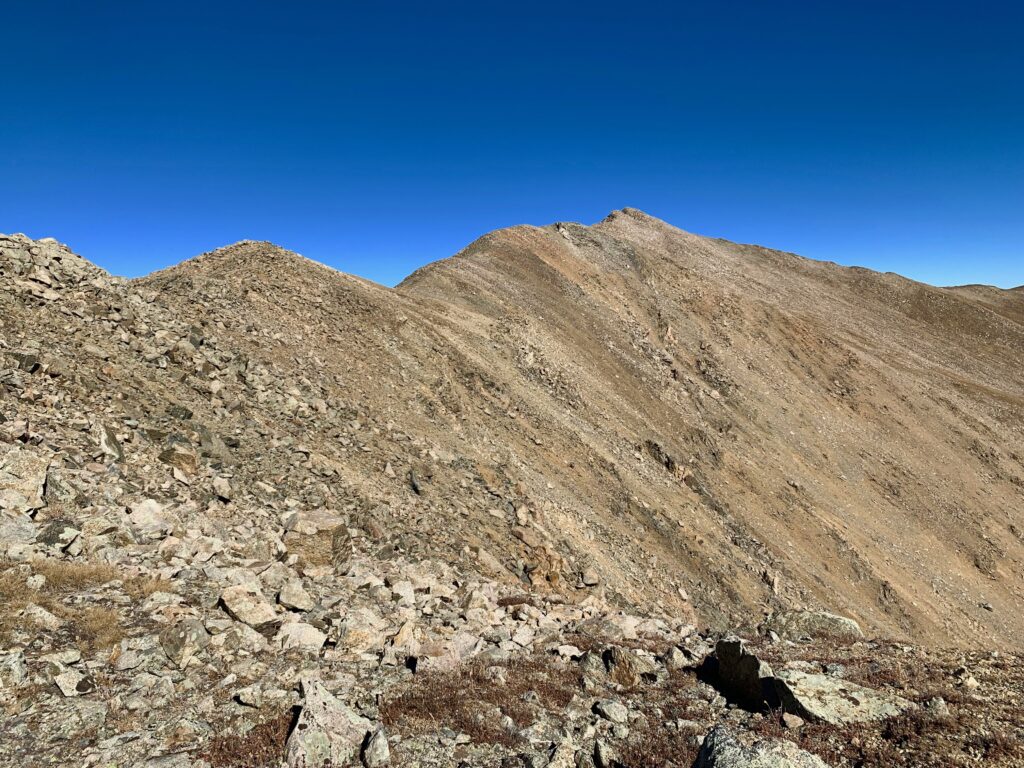
Below shows the summit from where I topped out on the ridge. The correct route brings you two humps closer. Fortunately, it’s a straightforward ridge walk from this point on. And surprisingly there was a trail up there, indicating that others had followed the same bad cairns that I had.
Walking the ridge to Columbia’s summit. This is where the wind was the strongest, especially on the saddles between the multiple false summits. I’d guess it was a steady 30-40 mph, with occasional gusts to 50-60 mph. I got knocked off balance several times and nearly said goodbye to my hat multiple times.

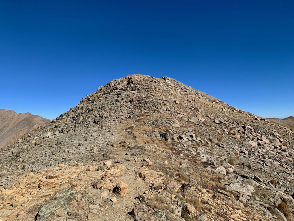
Final pitch to the summit. Fairly mellow after the steep west ridge.
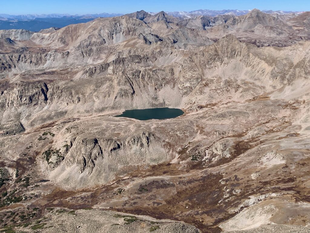
On the summit of Mt. Columbia with Bear Lake to the west.
Fellow Collegiate Peaks, Mt. Harvard to the north…

… and Mt. Yale to the Southeast.

The rest of the southern Sawatch to the south.

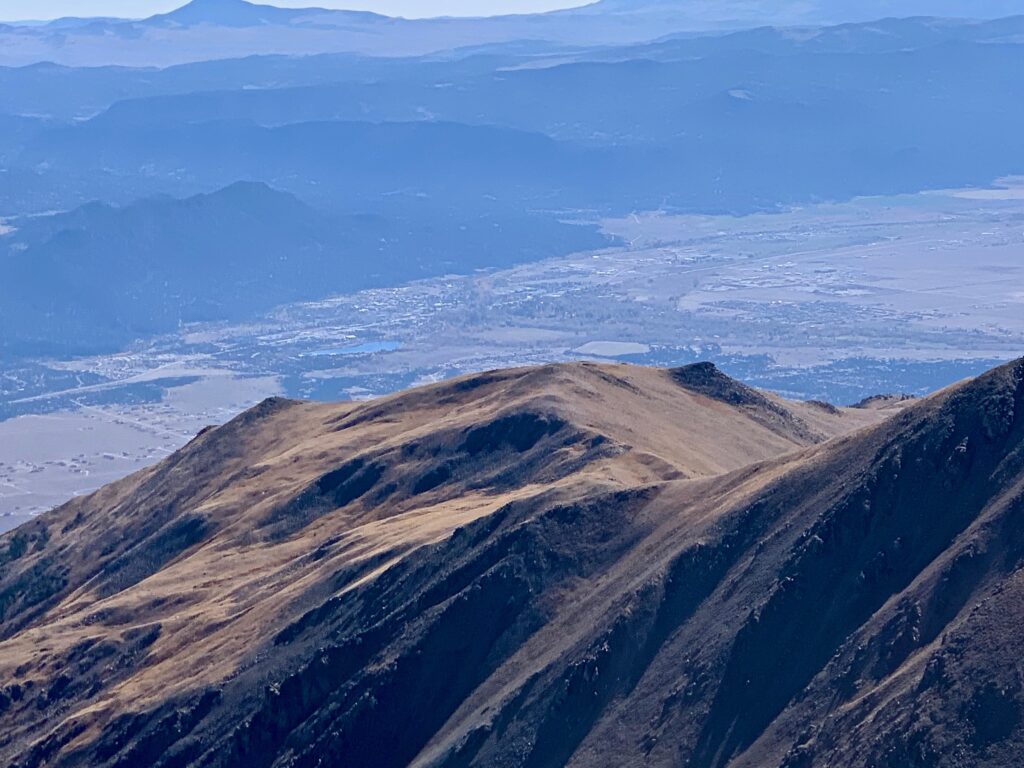
Buena Vista to the southeast.
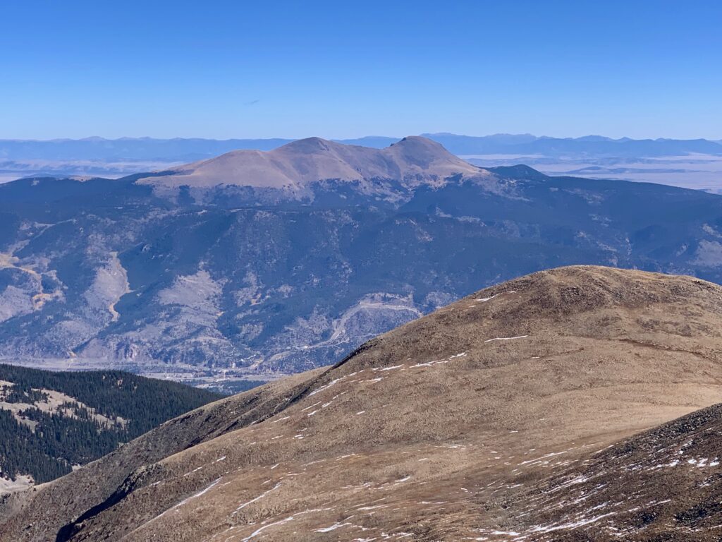
The Buffalo Peaks to the east.
Like many Colorado 14ers, Columbia has a rock wind shelter on its summit, built by decades of hikers piling up rocks on the summit. With the wind that day it was a welcome site. I was able to sit down and enjoy my lunch in relative comfort, send a few texts home and enjoy the summit views. I was the only one on the summit of Columbia that day. It felt really good to successfully summit a 14er again.
After a fairly quick lunch — did I mention it was 35 degrees on top? — I decided to head back down. The return trip was a longish but uneventful six miles. In the interest of paying it forward for future climbers, when I got back to the point where I had gone off course I took some time to set a new cairn on the correct route and knocked over a couple of the erroneous cairns that had led me astray.
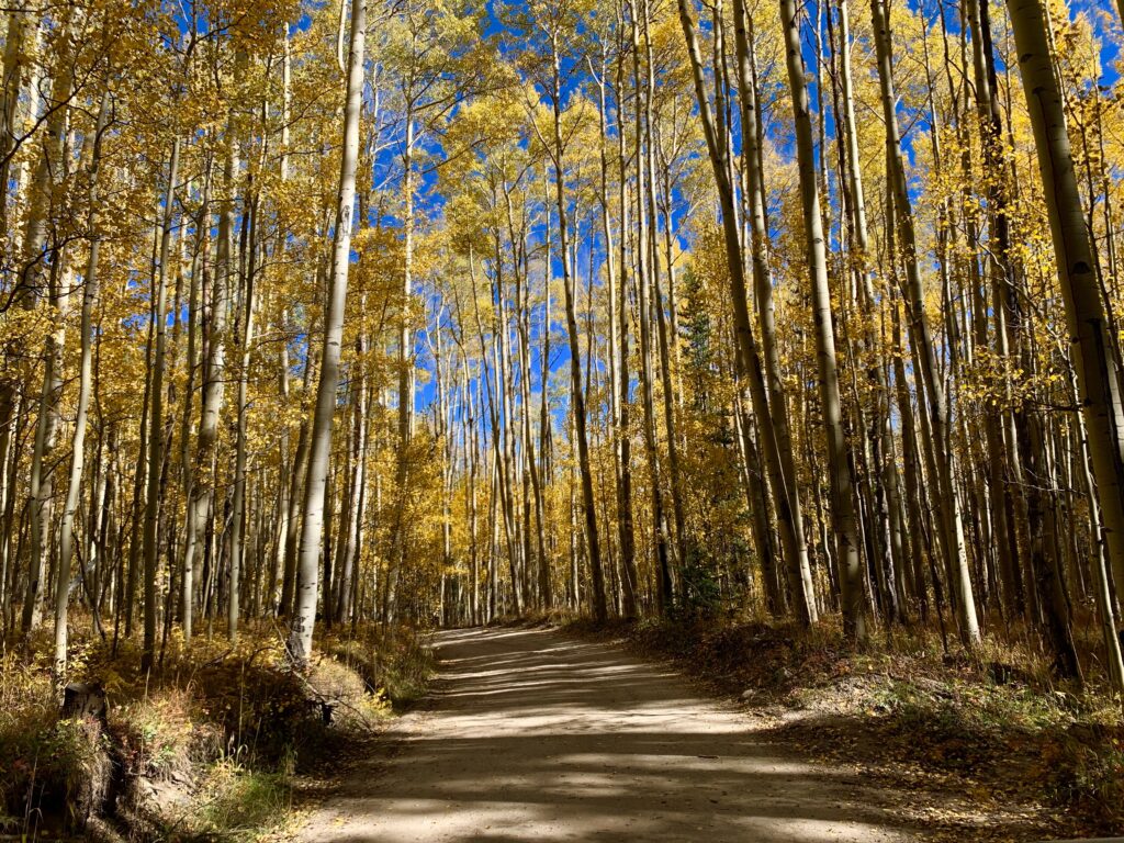
On the drive out of North Cottonwood Creek. The aspens are nearing the end of their fall display.