Deep in the heart of the central Sawatch range, about a third of the way between Buena Vista and Leadville, pretty much smack dab in the middle of Colorado’s Rocky Mountains, lie the next two 14ers on my “to climb” list, Mt. Belford and Mt. Oxford.
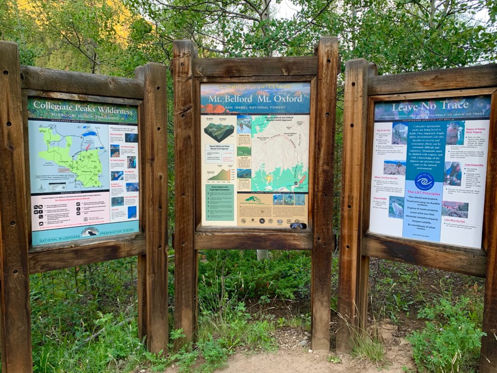
You’d think that it would be difficult to hide two 14,000-foot mountains but Belford and Oxford are surrounded by huge mountains and aren’t visible from any paved road. They are, however, accessible by a good trail via Missouri Gulch, one of the more popular trailheads in the area. The summits of the two mountains are just under 1.5 miles apart and as a result they are typically climbed together. This makes for a big but doable day involving a hike of 11 miles and over 5,000 feet of vertical.
The weather in the mountains has been somewhat iffy over the past week with frequent scattered showers rolling in in the afternoon. We moved the planned climb day to accommodate the rain but the move conflicted with plans by other members of the climbing team so this outing was going to be a solo effort i.e., me.
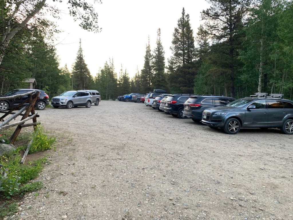
The Missouri Gulch trailhead parking area was already nearly full when I pulled in at 6:00 a.m. I got the last available spot near the trailhead signs.
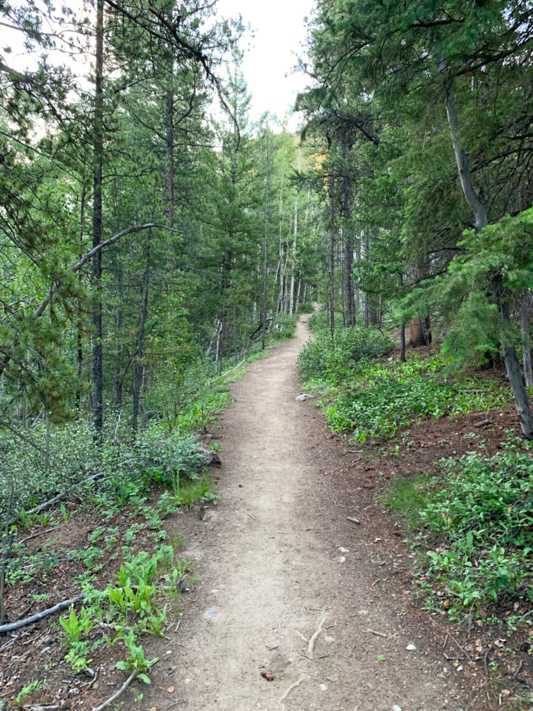
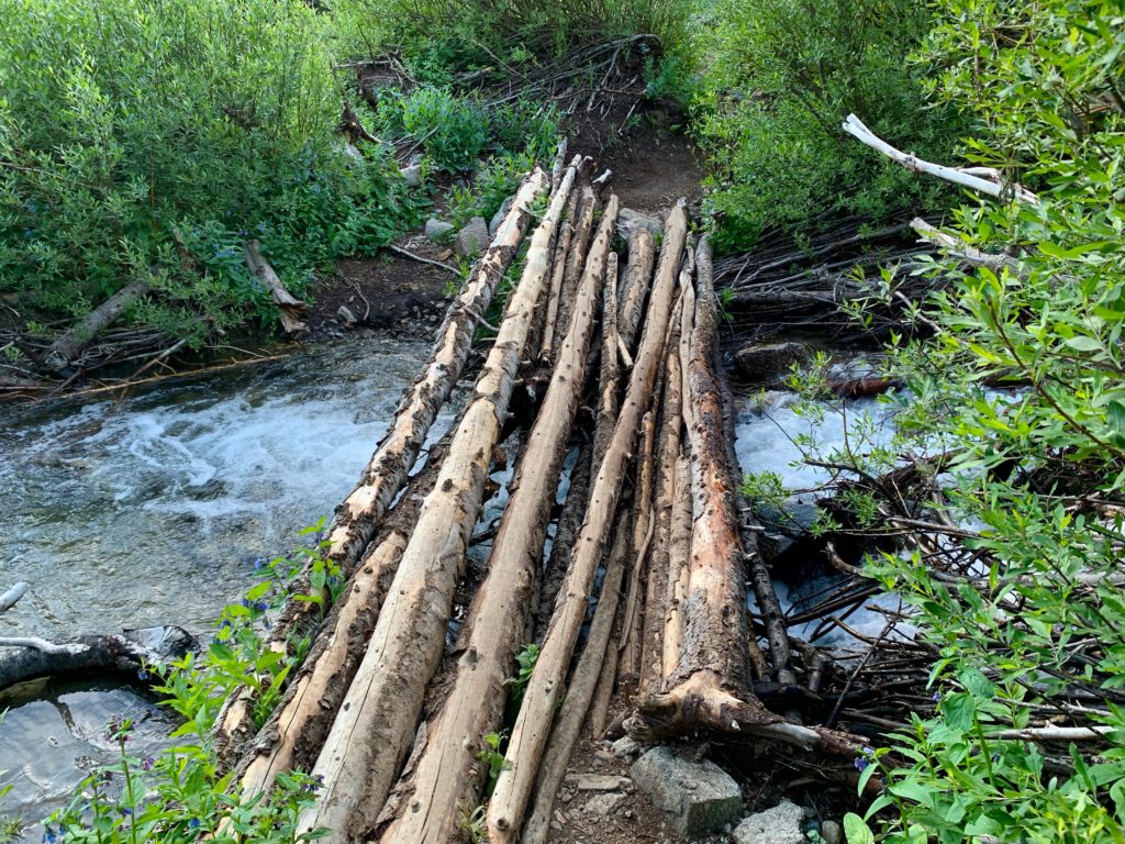
The hike starts by crossing an excellent bridge over Clear Creek.
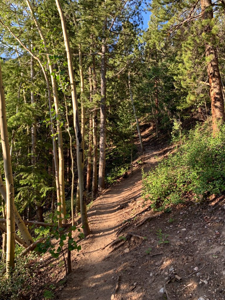
The trail lures you in with this initial gentle section.
A few hundred yards into the woods things took a Stephen Kingesque turn when just off the trail I noticed a 3 x 4 foot patch of ground surrounded by a short picket fence clinging to the last of its peeling white paint. Inside the fence was this.

The old mining town of Vicksburg is across the road from the parking lot where I started. There are no other graves near the trail I was on. Nothing. Just this one by itself. When I bent over the small fence and read that it was a baby grave, I felt the hair on the back of my neck stand up and I shivered in the cool morning air. Time to get up this mountain.
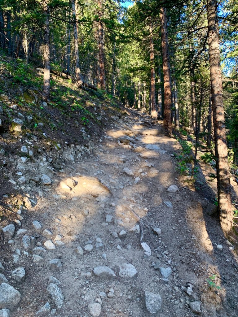
Beyond this point the trail gets relentlessly steep as it switches back and forth through the forest up Missouri Gulch.

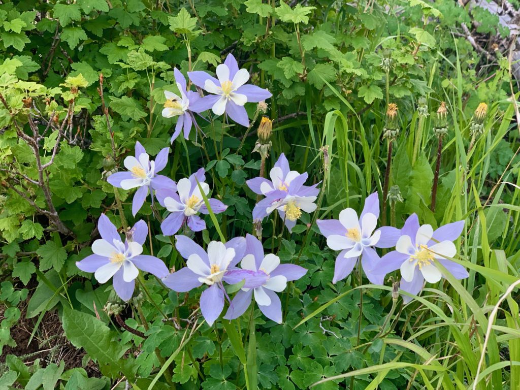
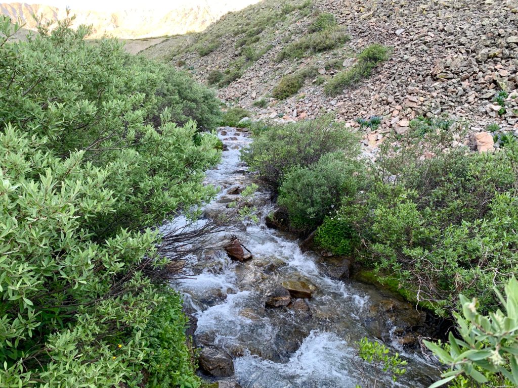
After about a mile the trail crosses Missouri Gulch creek on a log bridge and enters an avalanche path full of wildflowers.

Including Columbines
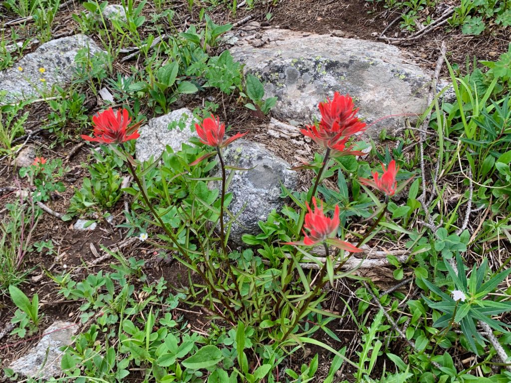
And Indian Paintbrush
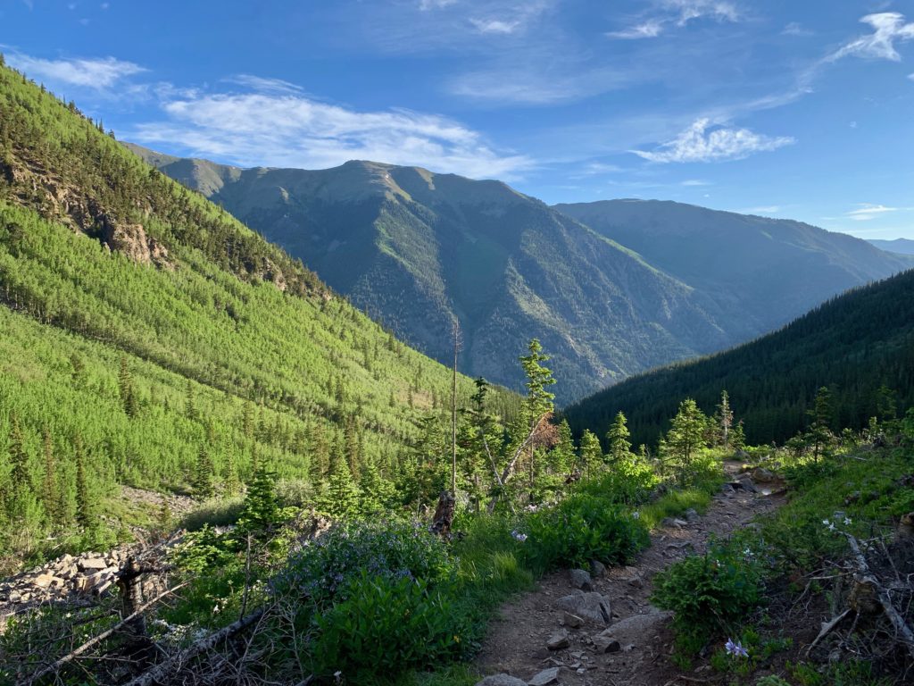
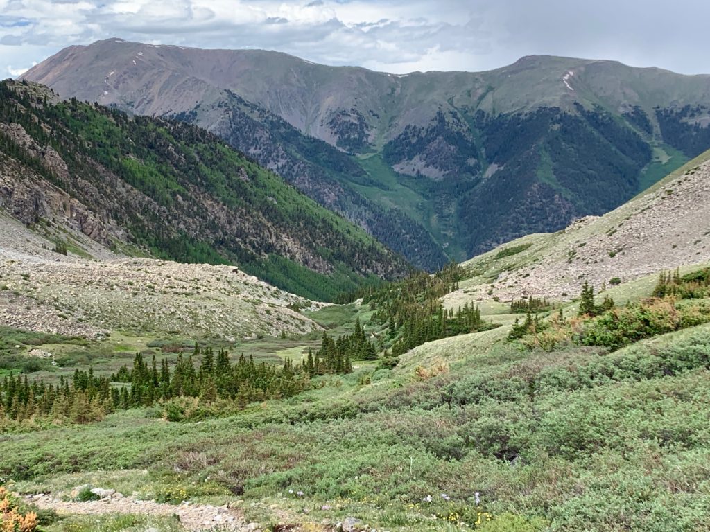
The view back down Missouri Gulch in the morning sun.
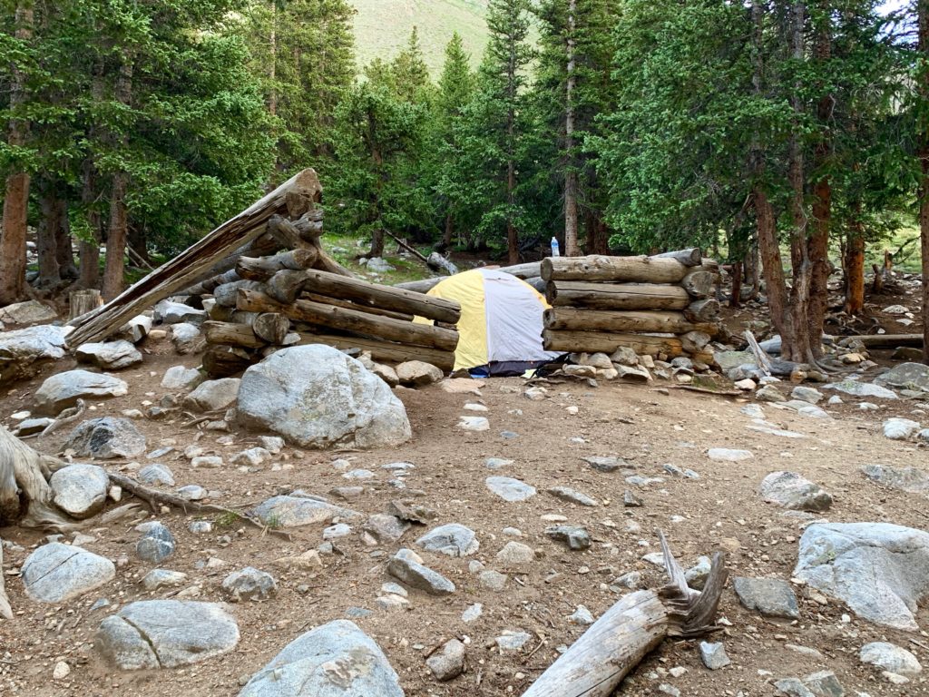
Someone decided to set up camp in the remains of this old cabin. Probably not a bad idea since the ground is flat and the remaining cabin walls provide somewhat of a wind break.
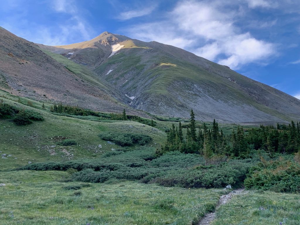
Entering the lower Missouri Gulch basin, Mt. Belford comes into view.
Through the willows of the lower basin.

There were plenty of soft, grassy spots in the basin and plenty of overnight campers taking advantage of them.

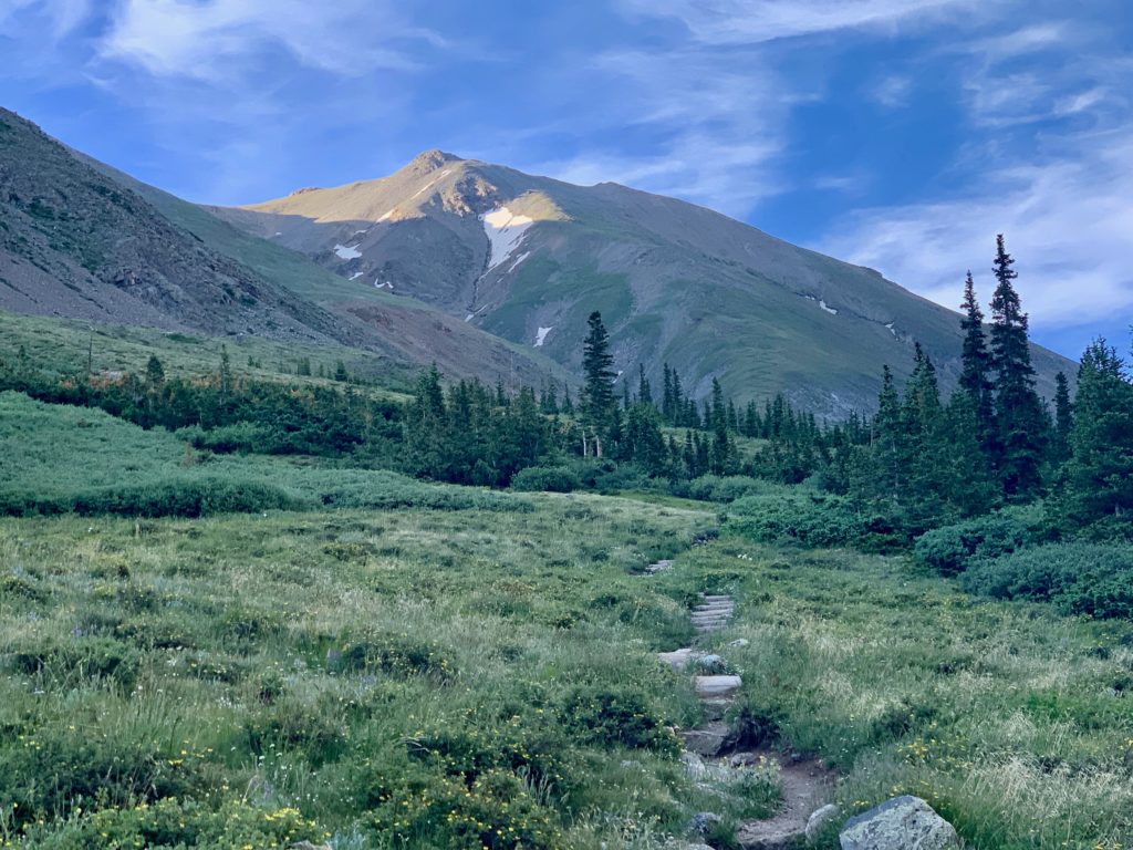
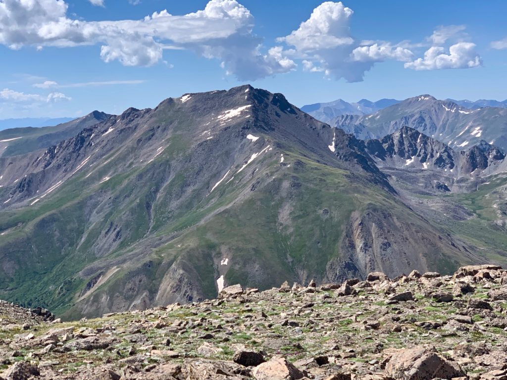
Missouri Mountain in the sunlight at the south end of the basin.

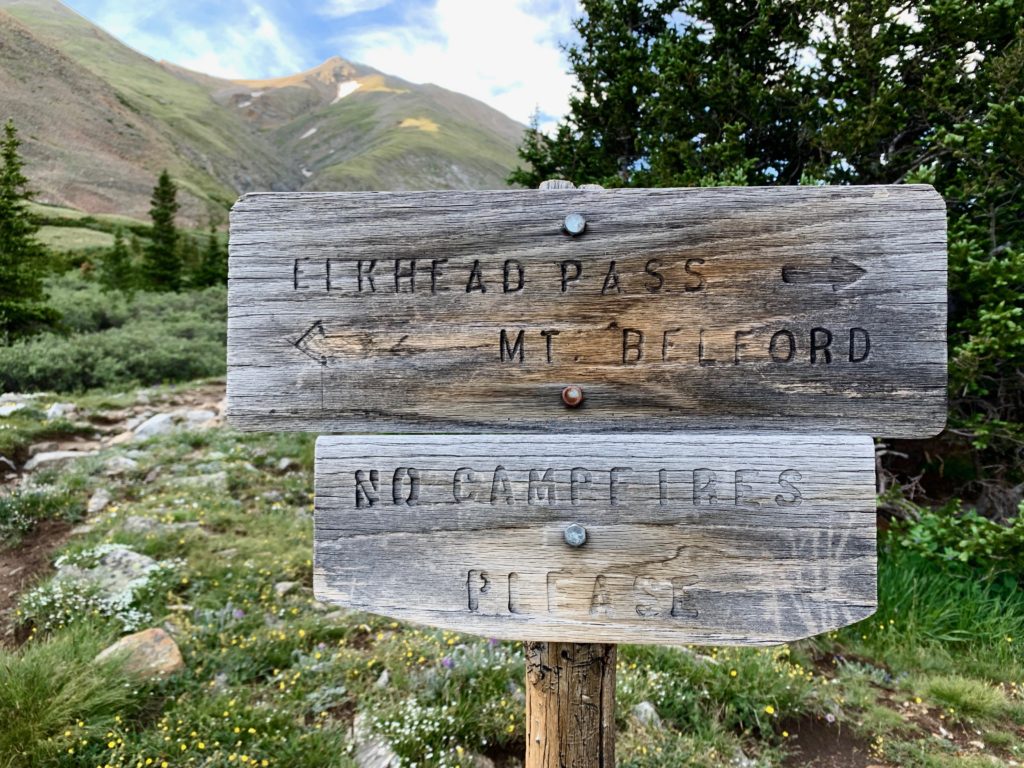
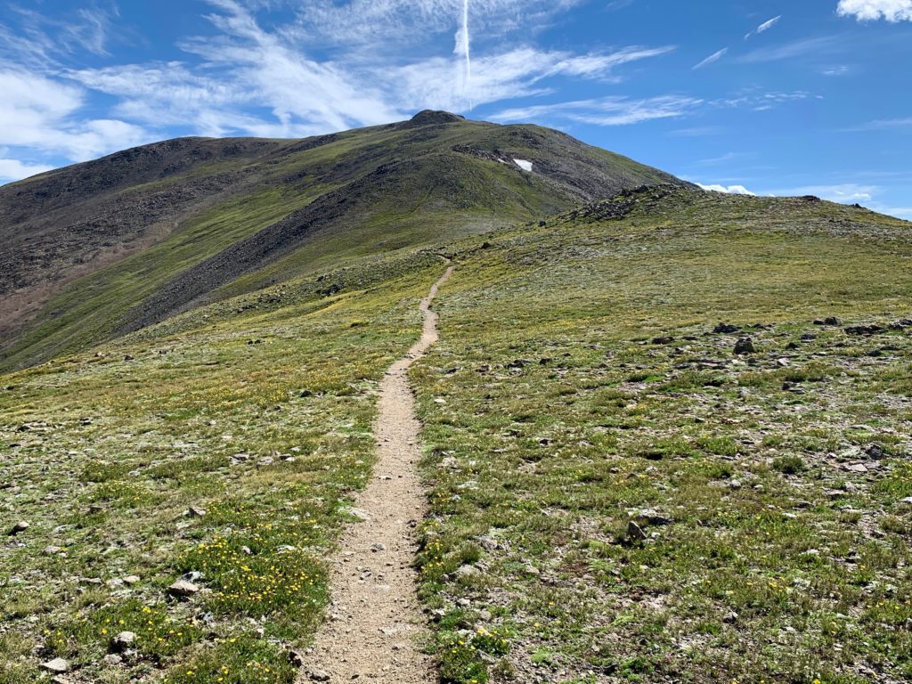
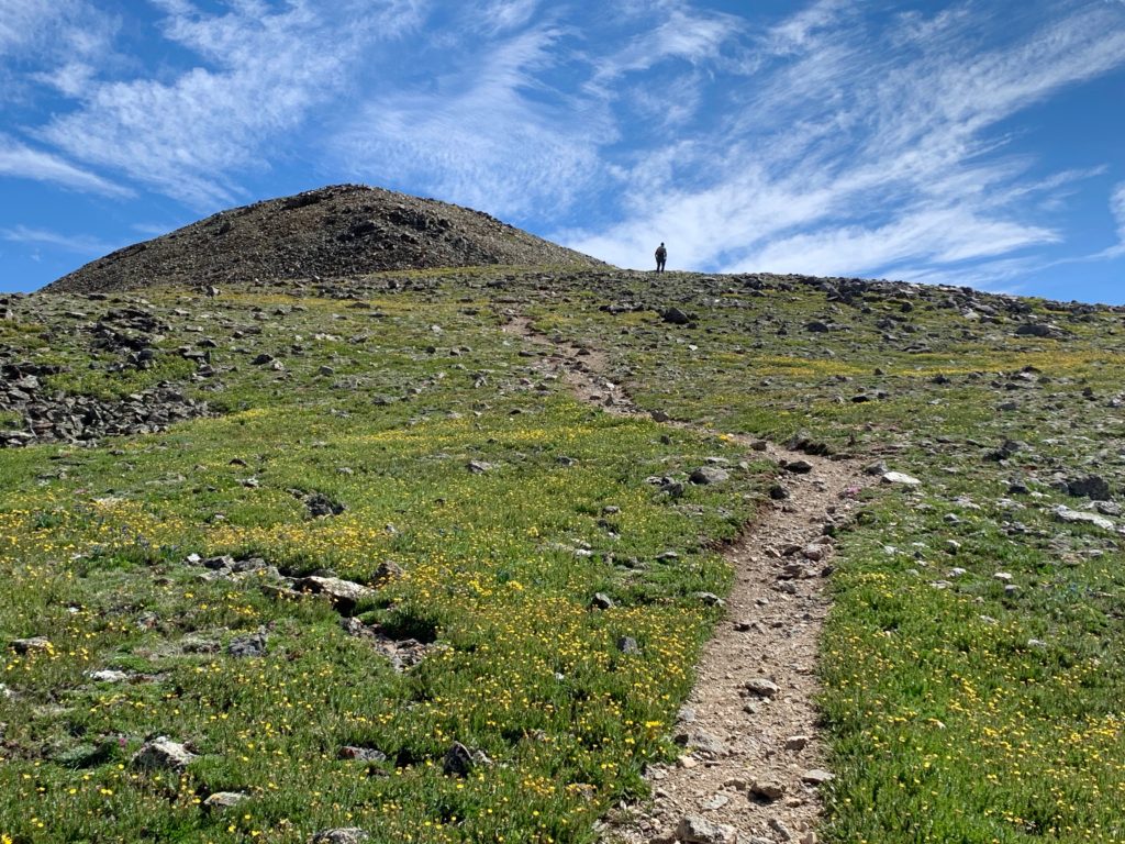
Take a left for Mt. Belford.
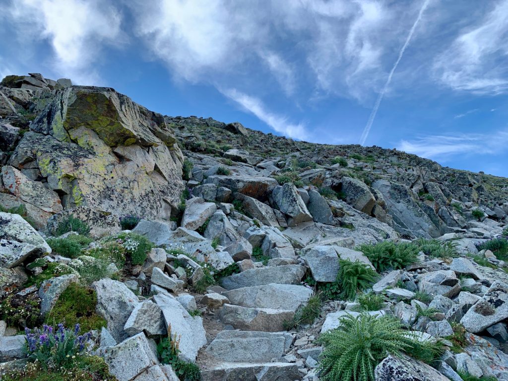
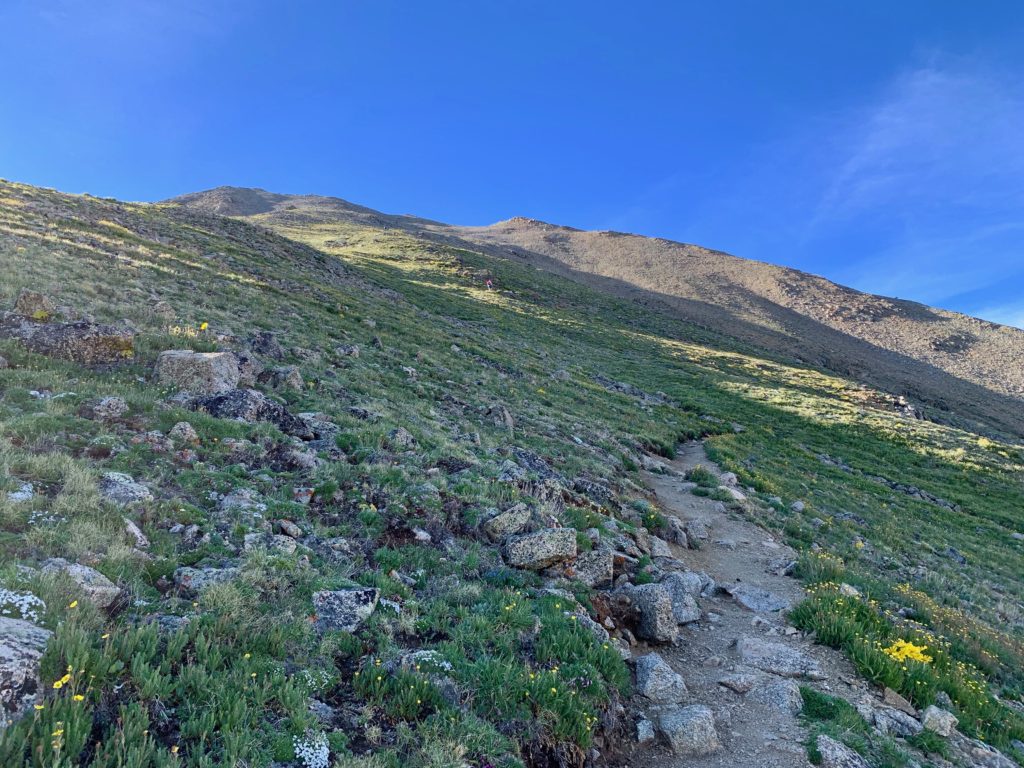
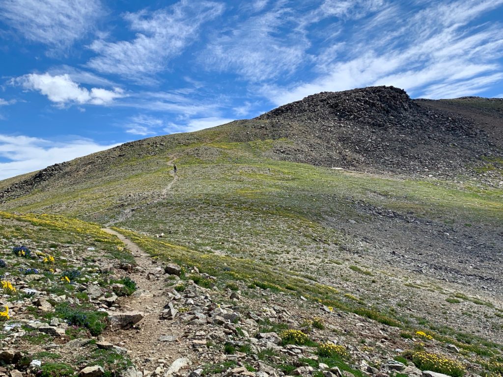
Things are about to get serious. The remainder of the route follows Belford’s steep northwest ridge. There are probably more than a hundred switchbacks on this ridge, I didn’t attempt to count them. And you’re above timberline for the rest of the day until you get back to this point, which is why the weather is such a concern on this route.

Heading up Belford’s NW ridge.


I had quite a bit of company to pace me up Belford but the mountain is so huge it never felt crowded.

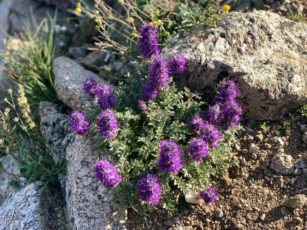
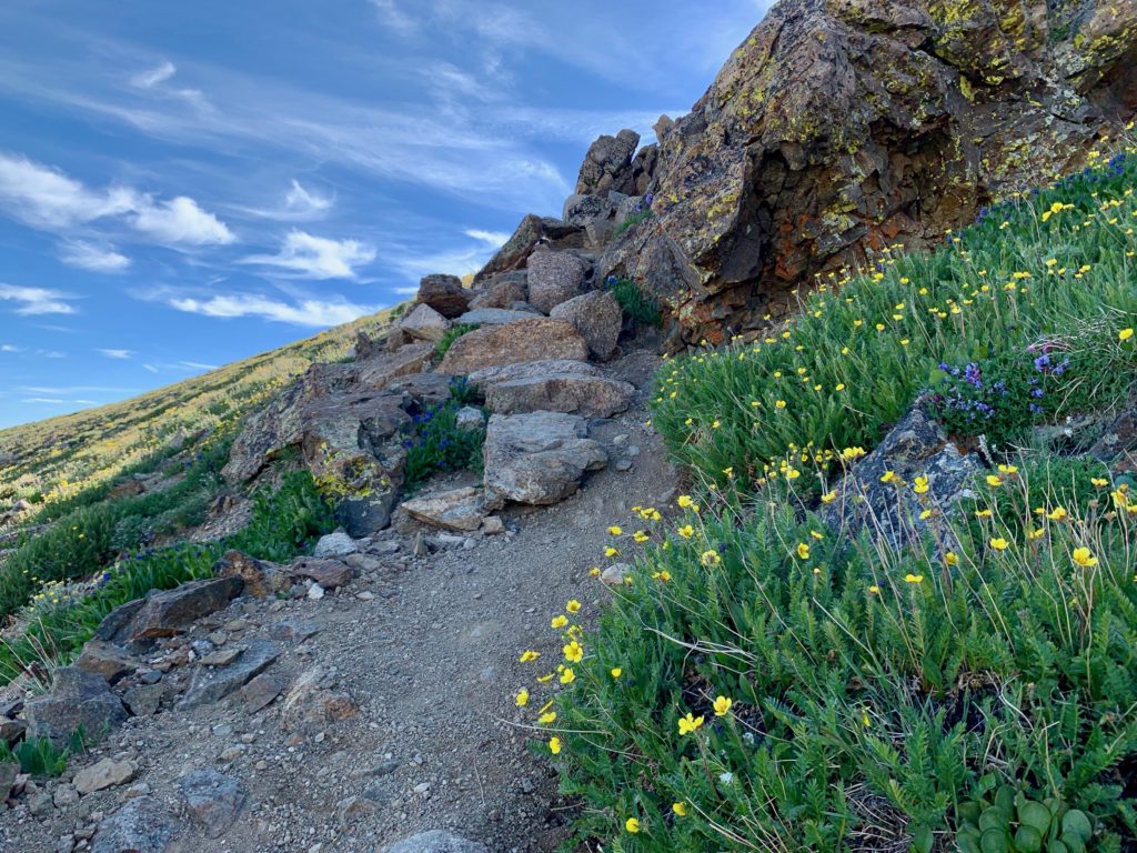
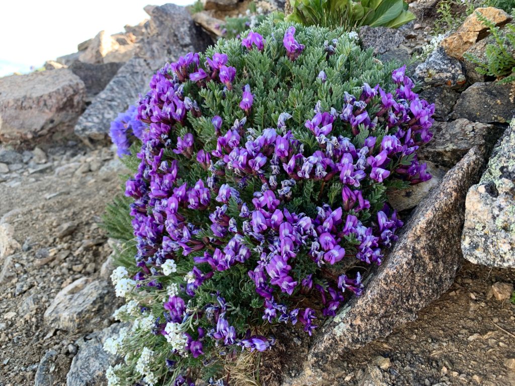
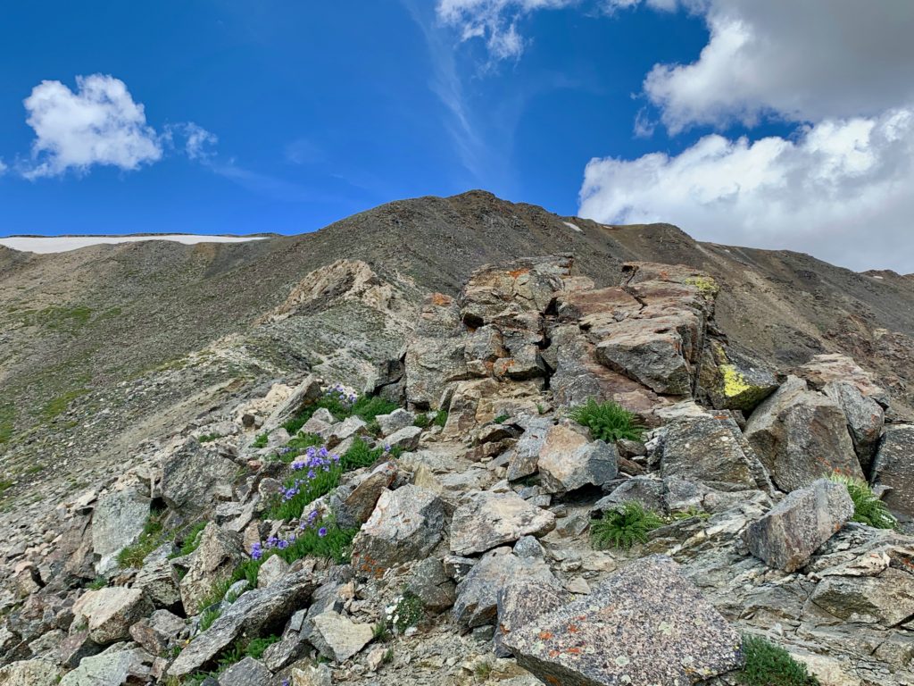
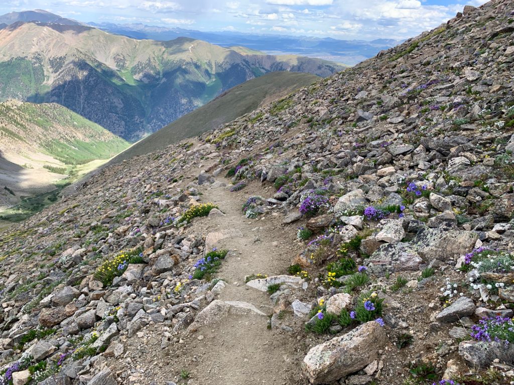
Mostly it was wildflowers and rocks. Lots of wildflowers and lots of rocks.


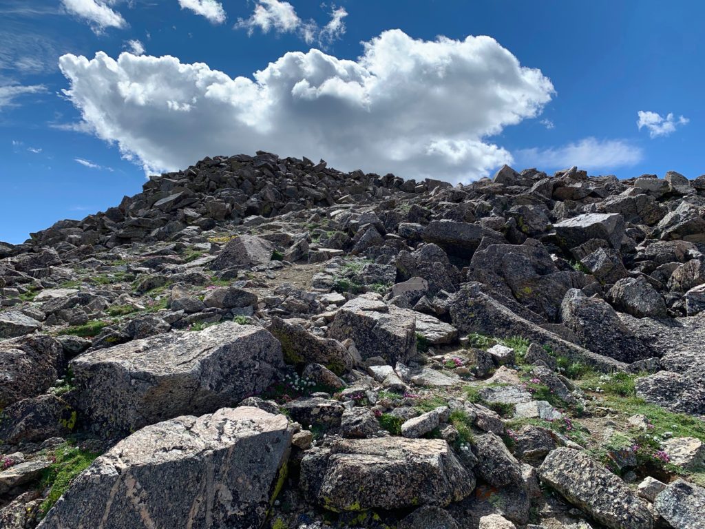
Approaching Belford’s false summit. It’s good to know about these going in because if you don’t it’s soul sucking to reach one only to find more mountain above you. Fortunately, I knew.
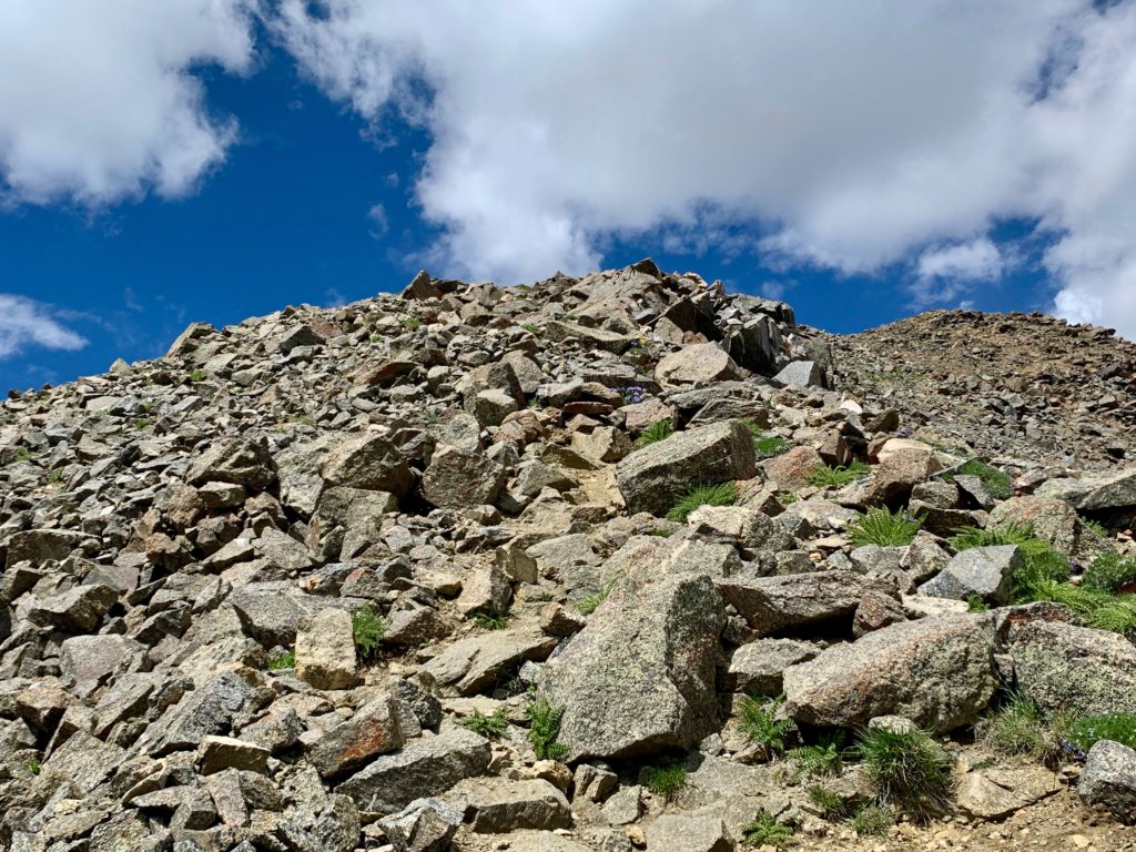
The actual summit, which is basically one solid rock sitting on top of the mountain like a hat.
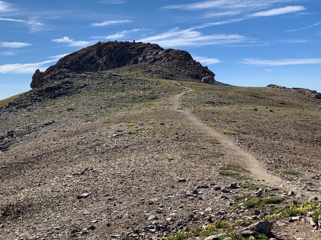
Fortunately, it’s an easy climb up.

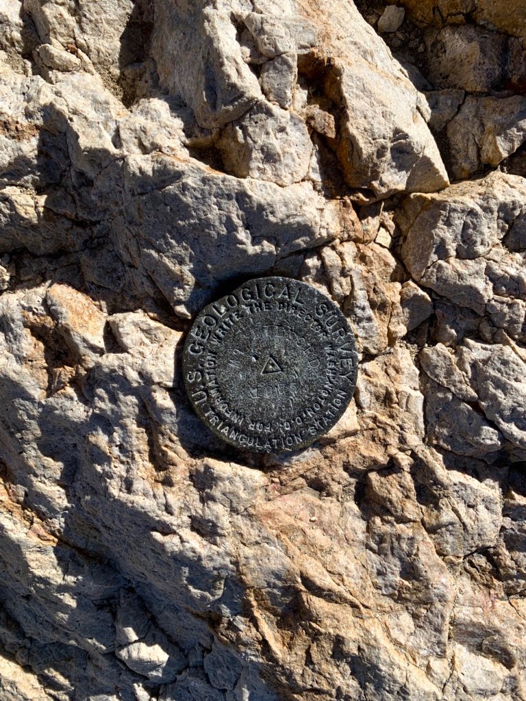
USGS summit marker.
Because of Mt. Belford’s central position in the Sawatch, you can see more mountains than I can name from its summit. Here are some I recognize.
Mt. Harvard to the southeast.
Mt. Princeton and Mt. Yale to the south.
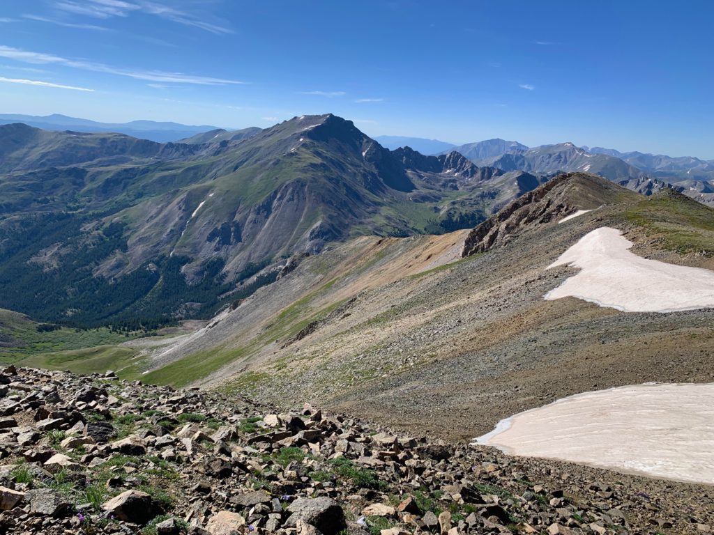
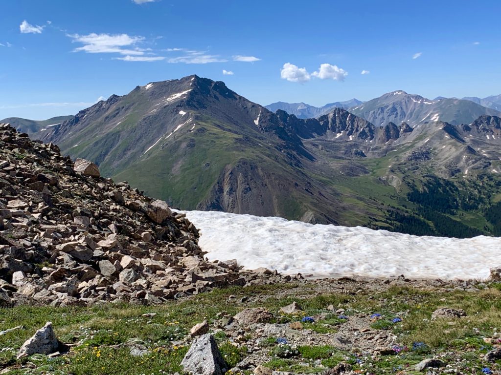
The beautiful Pine Creek basin to the southwest. The pyramid-shaped peak on the right is 13er Emerald Peak. Elkhead pass is at the bottom right.
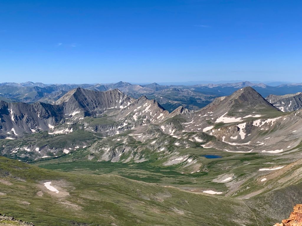
Missouri Mountain across the basin with Huron Peak behind. You can see climbers on Missouri’s summit.
Brown’s Peak (I think) to the west.
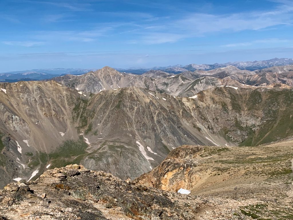
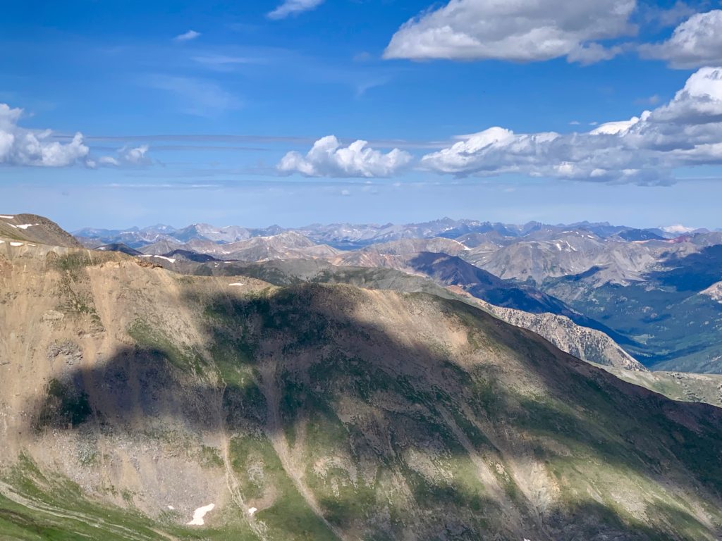
La Plata Peak to the northwest. Most amazingly, that snowcapped mountain on the horizon on the left is Snowmass Mountain near Aspen, which is at least 60 miles away.
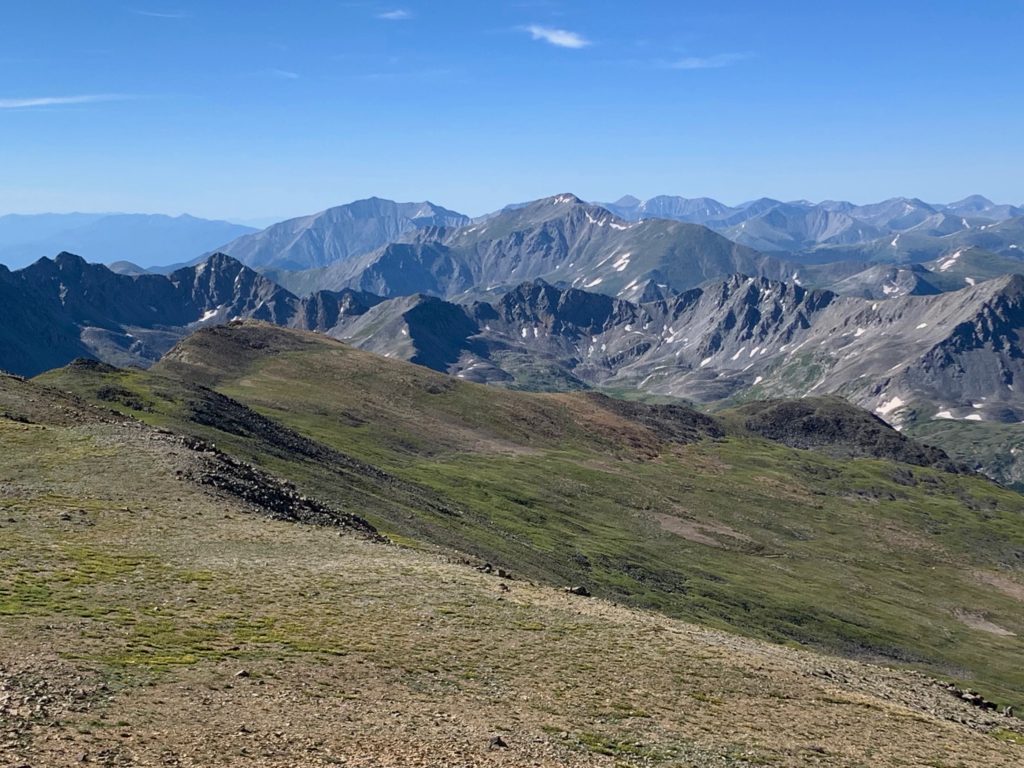
Looking north, that big lump on the left is Mt. Elbert.
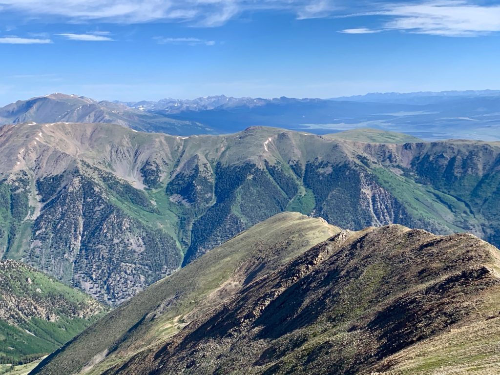
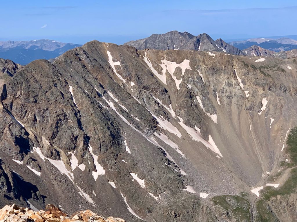
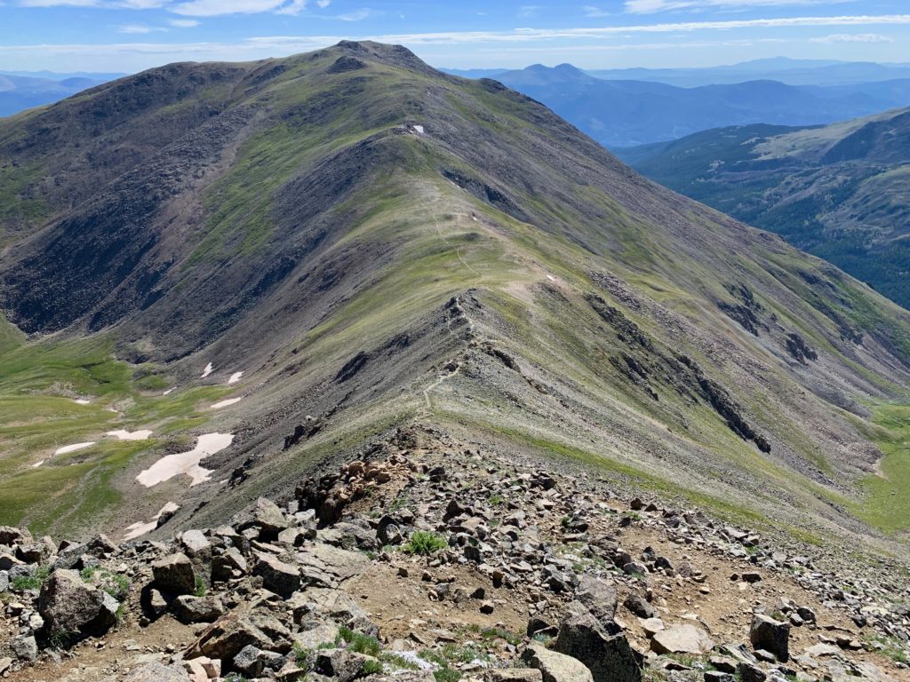
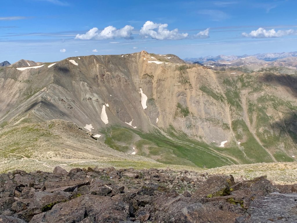
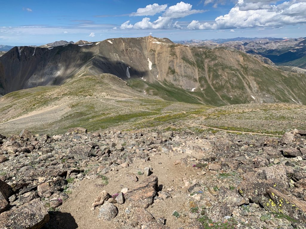
And due east, the next objective of the day, Mt. Oxford. Pictures don’t do that expanse justice. It’s a loooong way over there, both in distance and in elevation lost and gained.
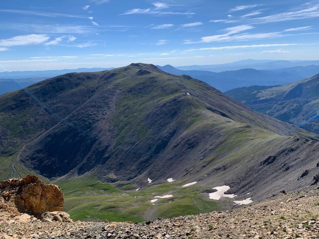
A little shaken at the distance I still had to travel, I only paused for a quick snack on the summit of Belford then scrambled off the south side of the summit block to get on with the task at hand. The trail to Mt. Oxford drops off Belford’s southeast flank. At first it looks like it’s taking you to Mt. Harvard, which is definitely not where you want to go.
But at the end of the ridge, it turns left and takes you down Belford’s east ridge. It’s a steep, rocky descent 700 feet down to the Belford / Oxford saddle. Mentally, it’s really difficult to lose that much altitude when you know you’re just going to have to regain it again in about an hour and a half.

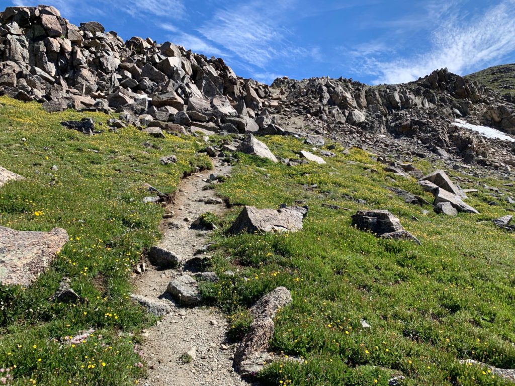
On the Belford / Oxford saddle looking up at the remainder of the route.
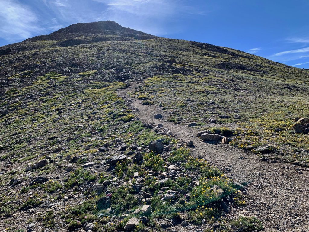
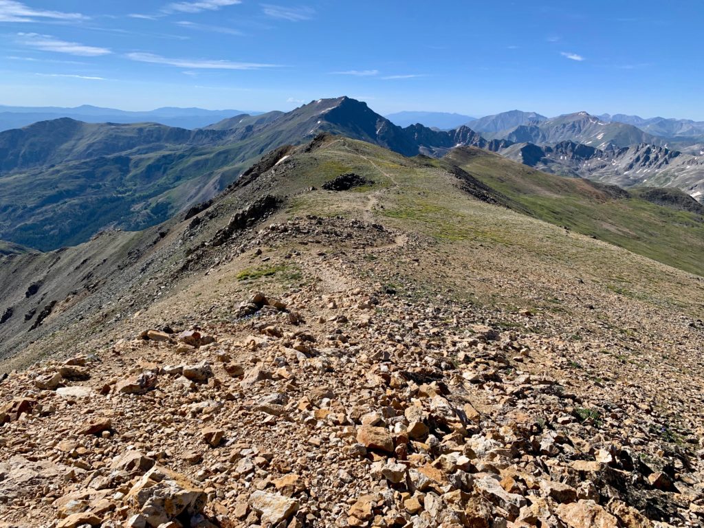
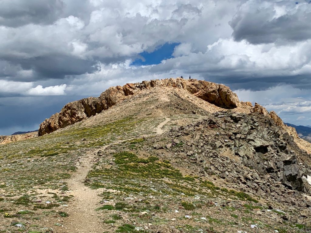
Mt. Oxford is slightly less rocky than Mt. Belford, with more of a steep, inclined meadow feel. And of course, tons of wildflowers.

And not one…
…but two false summits.
The actual summit is basically a giant pile of rocks.
With the summit marker appropriately on the highest rock in the pile.

Looking back on Mt. Belford from Oxford’s summit.
Even though it’s several miles away, it feels like you can almost touch Mt. Harvard from here.
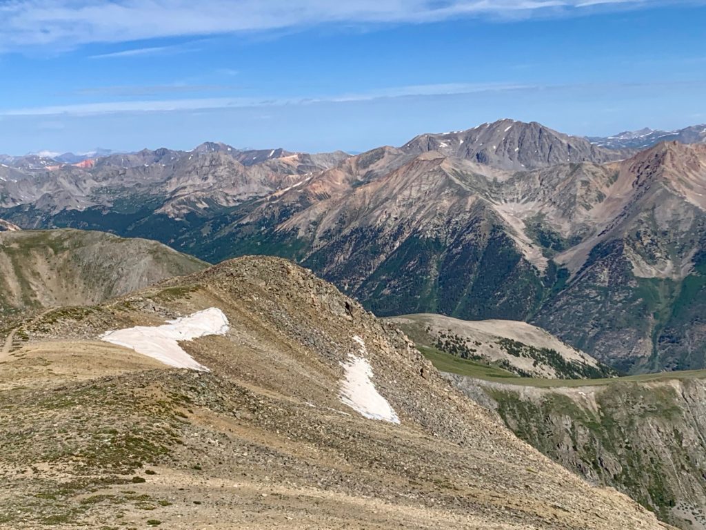
Emerald Peak over Belford’s south ridge.

The view northwest. Snowmass Mountain is also visible from this angle. On the horizon, far right.
I stopped to have lunch on the summit of Oxford. It was sunny and breezy but comfortable enough to enjoy a sandwich and a chat with my fellow climbers. After about a half hour I could see rain clouds starting to build to the west and it felt like it was time to head home.
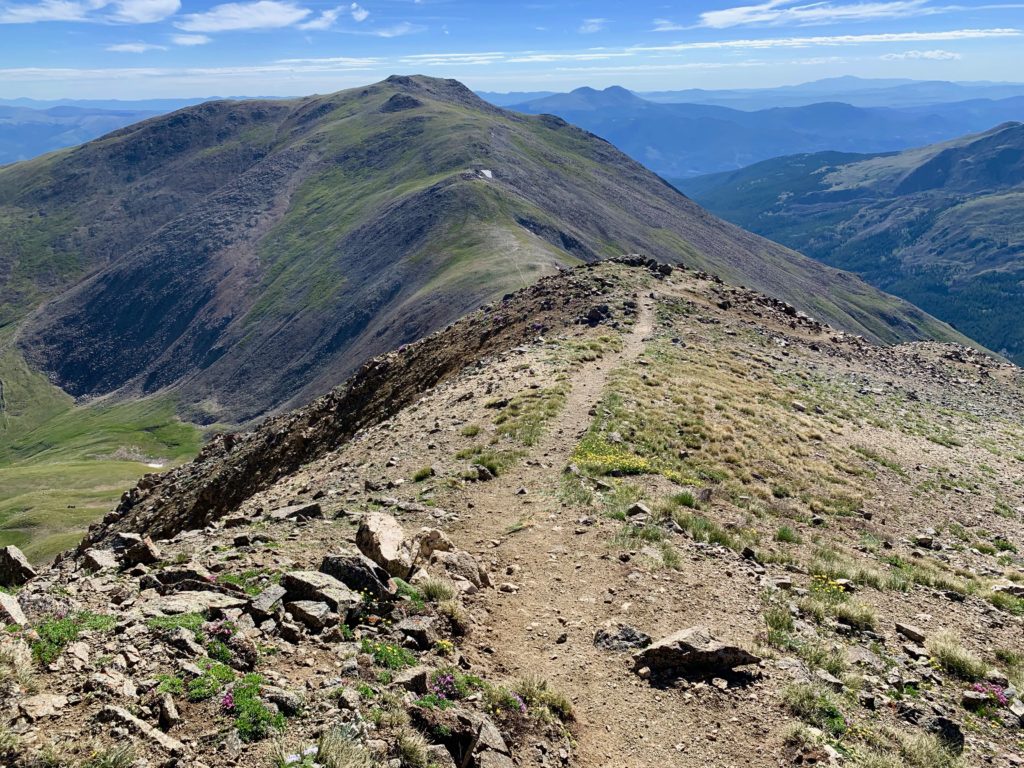
Heading back down to the Belford / Oxford saddle.
By far the hardest part of the climb was regaining that 700 feet back up the rocky east ridge of Mt. Belford.


And yes, you have to climb back over Belford’s summit rock hat. Any shortcuts to the left or right are blocked by good-sized cliffs.
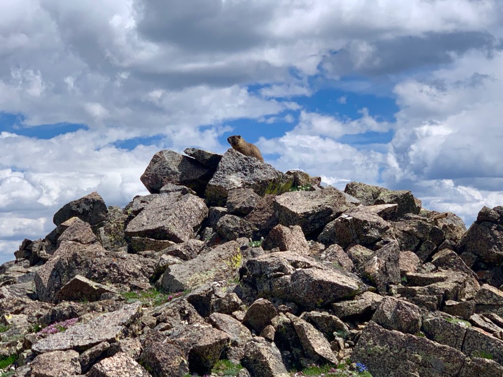
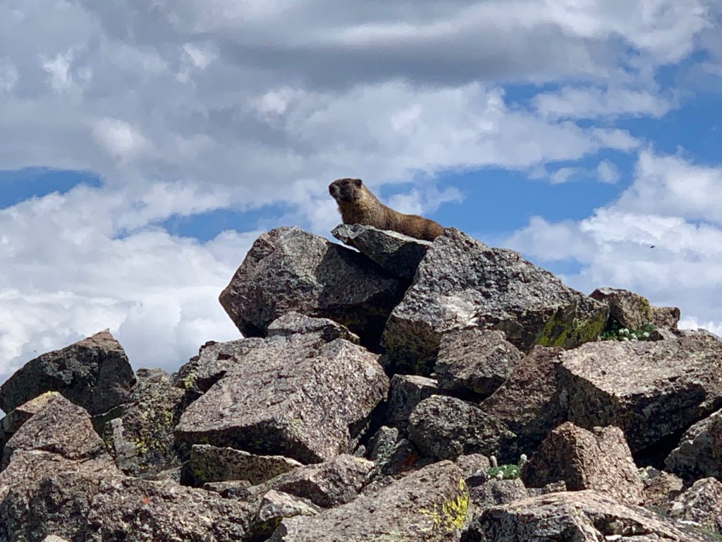
I managed to get a few shots of this guy, warily watching me from his own summit.
Heading back down Belford’s rocky switchbacks.
And across a small creek cutting its way through what looks like a recent rock slide.

Missouri Gulch in the afternoon.
Finally. Back to Clear Creek.
According to Garmin I covered 11.3 miles and 5,738 feet of vertical in 7 hours 54 minutes. A big day for sure. I was beat. That post-hike beer never tasted so good. Oh, and did you know you can get blisters under your toenails? Yep, sure can. Just hike 11.3 miles and 5,738 feet of vertical in 7 hours 54 minutes. You’ll see.