One of the things I love most about where we live is you can literally look out the window and see unlimited opportunities for adventure. What’s that mountain? Where does that drainage go? I wonder if there’s a trail up that? Everywhere you look there’s something new to explore and enjoy. I’m tremendously grateful.
Our house is on the lower north flank of Methodist Mountain on the south side of Salida. At 11,707 feet Methodist is hardly the biggest or most impressive mountain but it’s plenty big enough. In the two years we’ve lived here I’ve experienced its ruggedness riding the Methodist Mountain trail system and the Rainbow Trail.
One of the things I’ve contemplated for a while is actually climbing it. Not climbing as in load up the car, drive to a trailhead and climb it but just walk out the front door and start climbing. In a random moment of unprepared inspiration last summer, I even attempted it as a hike but it’s a long climb, much longer than I anticipated. Short on water and time I was forced to turn around a couple of miles before the summit.
Due to its prominent position above Salida at the south end of the Arkansas River Valley, Methodist is in a prime spot visible for miles in all directions and its summit sports an array of radio and cellular towers to take advantage of this unique position. To allow for servicing of these towers there is a 4WD road all the way to the summit. So really, it’s a better mountain bike ride than a hike anyway. This past week I set out to do just that, to ride my bike from our house to the summit of Methodist Mountain.
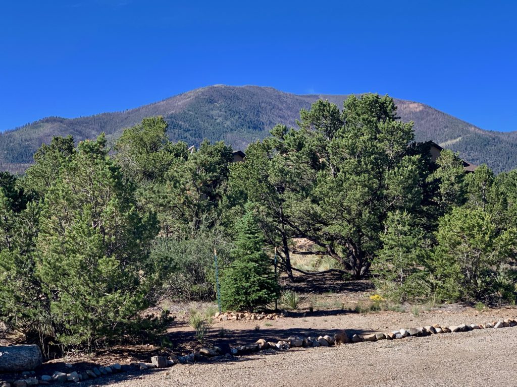
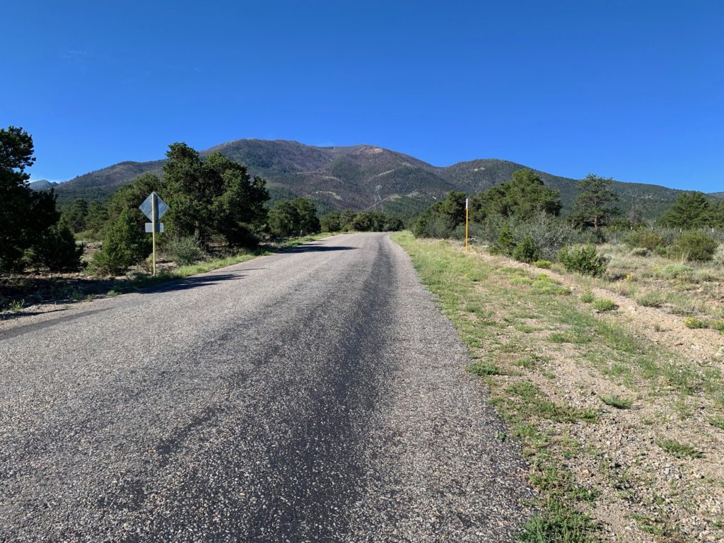
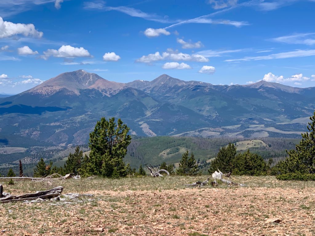
That first picture above is Methodist Mountain from our driveway. To get to the top, first ride up to the Little Rainbow trail, which takes you to Chaffee County Road 108. The first half mile of the climb is on pavement.
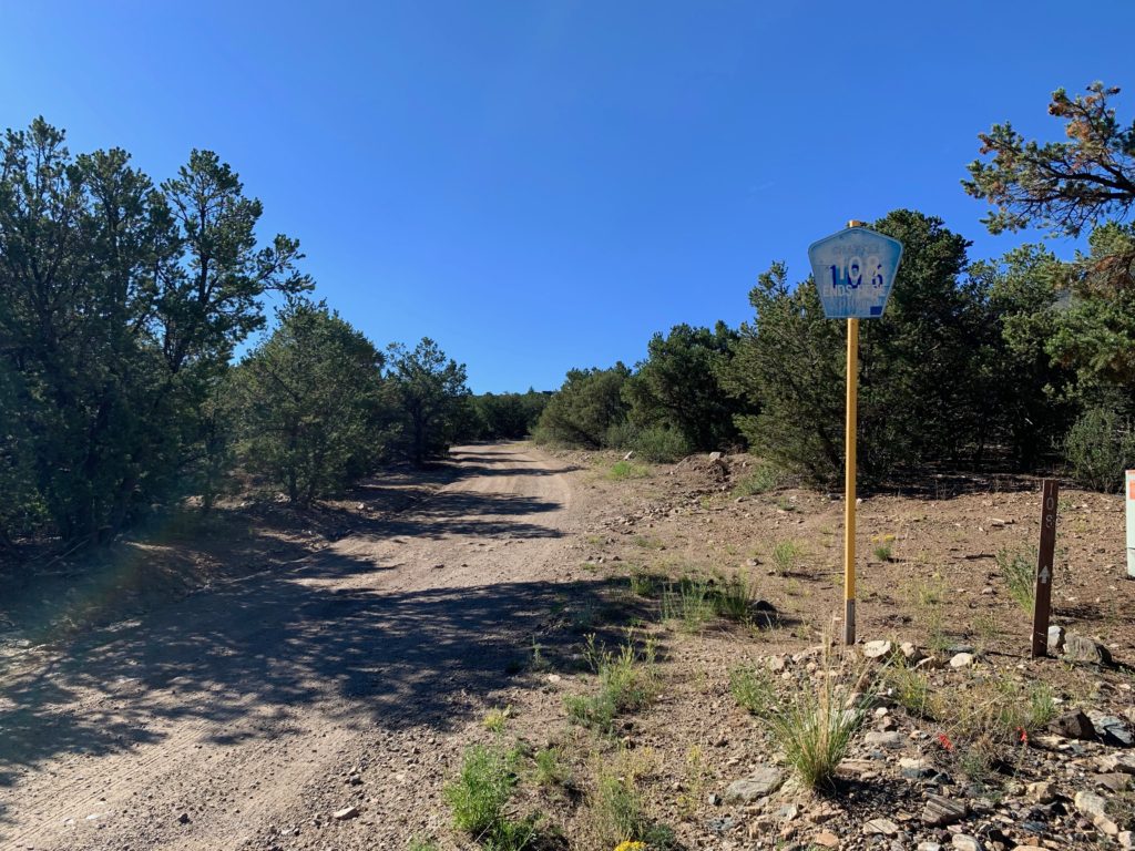
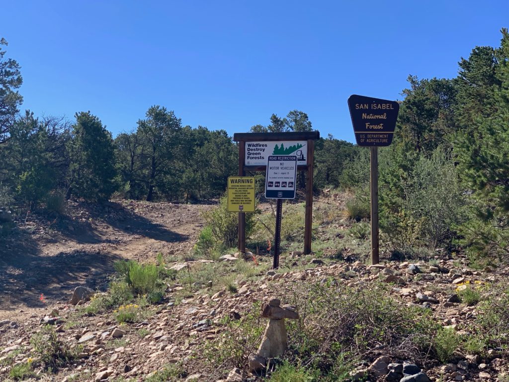
When the pavement ends it’s about another quarter mile to the National Forest boundary.
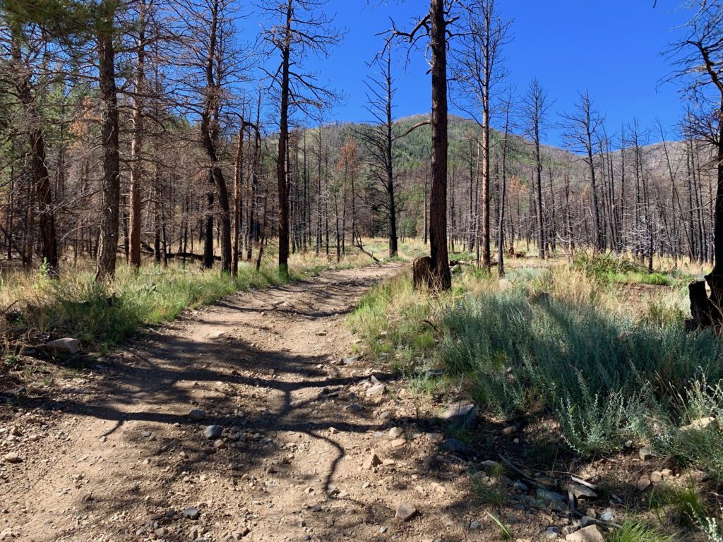
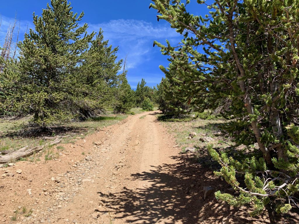
From that point on it’s a slow grind through piñon pines up a steep, rocky 4WD road. It’s a challenge keeping the heart rate below max and several “scenery breaks” are required to keep the legs from totally burning up.
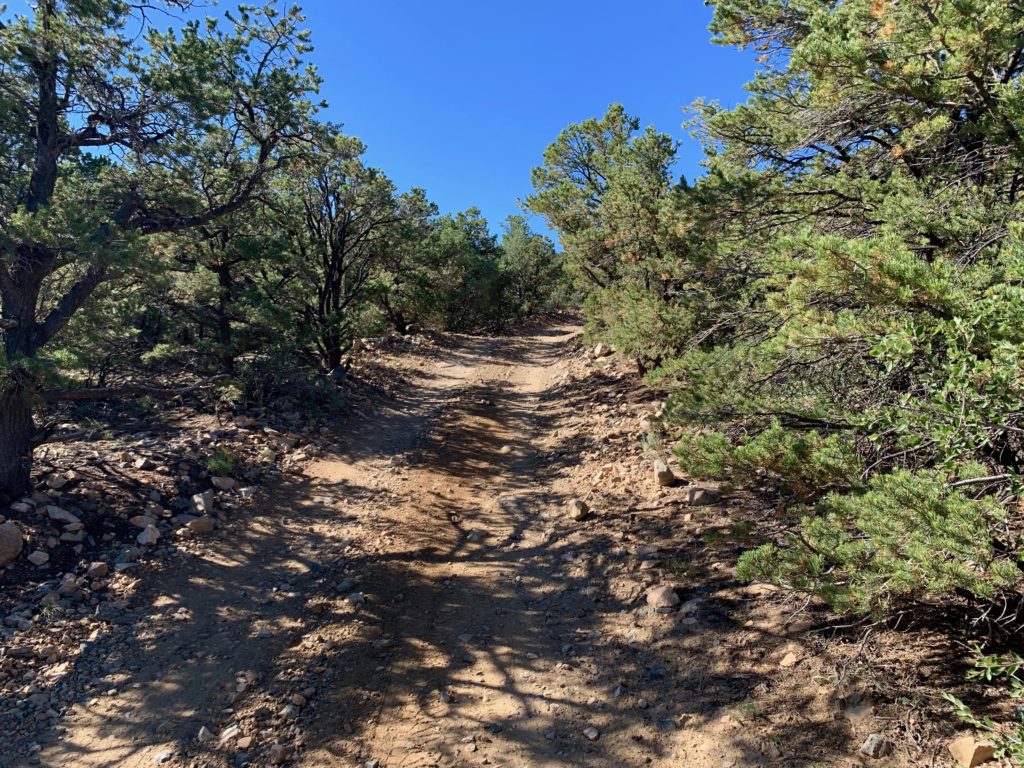
As you climb higher the piñons gradually give way to larger pine trees.

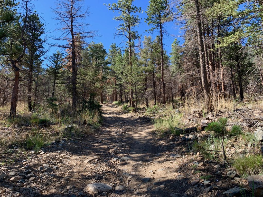
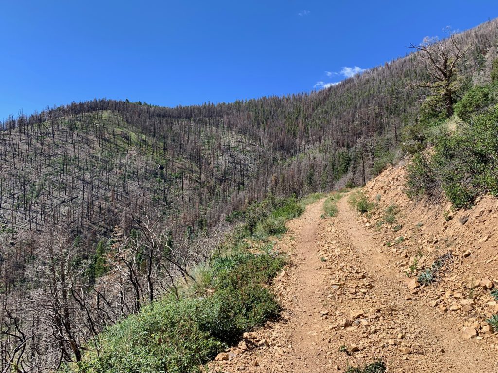
After another mile or so, you enter the burn scar from the 2019 Decker fire.
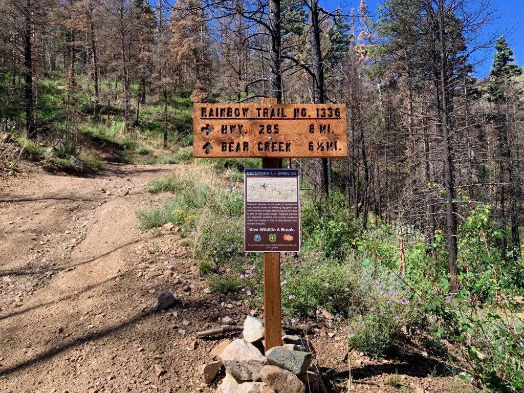
At around 9,000 feet the road crosses the Rainbow Trail.
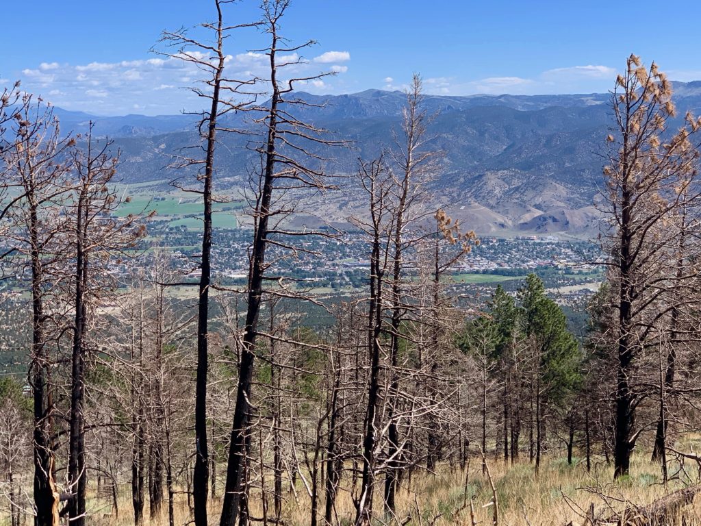
Salida as seen from the burn scar.
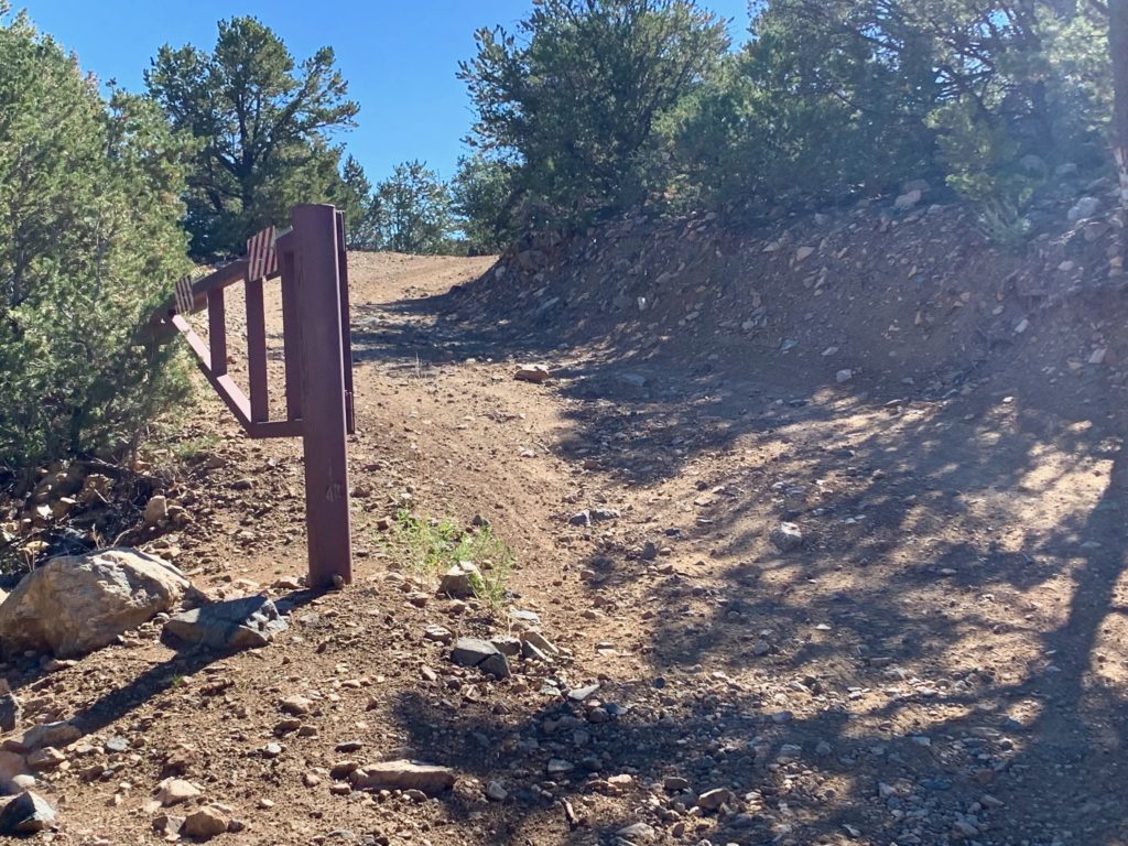
Not cool. About halfway up, the road goes through private property. There is no house or mine or anything like that, it’s just a privately owned patch of land.
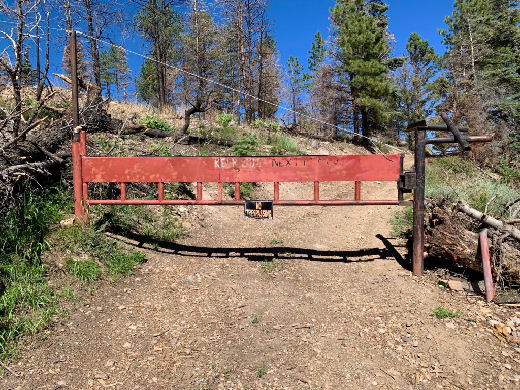
This is super common in the mountains in Colorado. And every other place I’ve seen it there will be a cattle guard and a sign saying something like, “Public road through private property, stay on the road”. But not this guy. He has a locked gate with lots of threatening signs and a game camera to catch trespassers. Please. I’m in a National Forest. So I smiled and waved at the game camera, ducked under the gate and proceeded on my way.
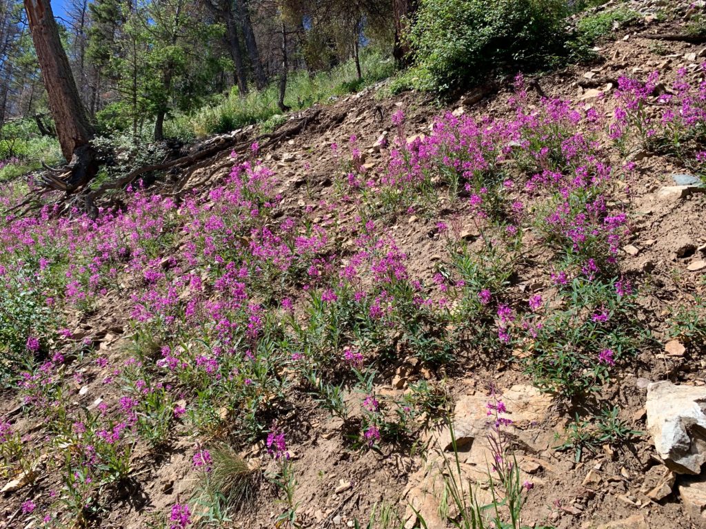
Above the private property the scenery goes from devastated to beautiful as the road switches back and forth up the mountain and in and out of the burn scar.

Simmons Peak to the south.

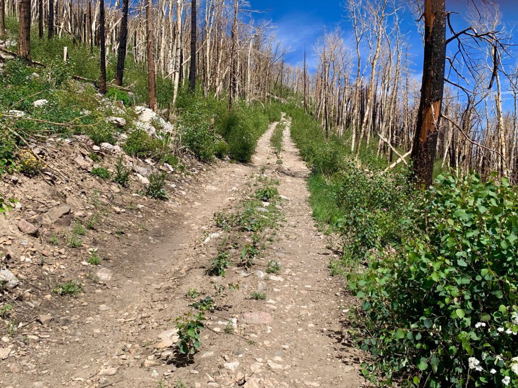
Climbing through a burned aspen grove. All the green you see is young aspens that have come up since the fire. Nature finds a way.
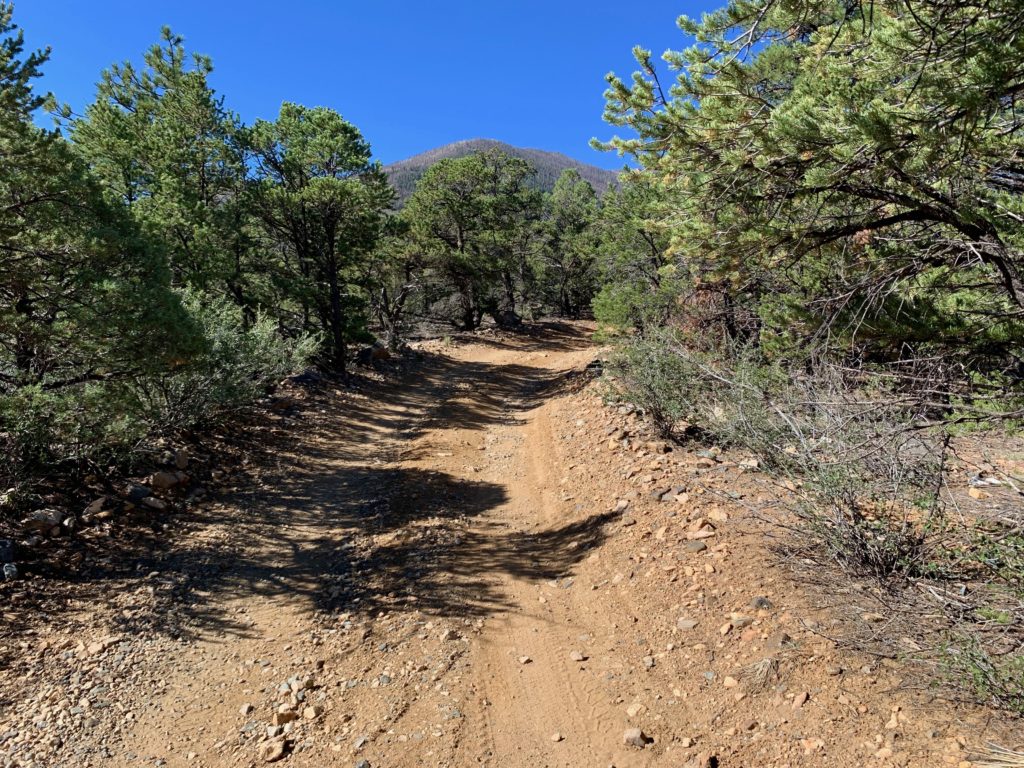
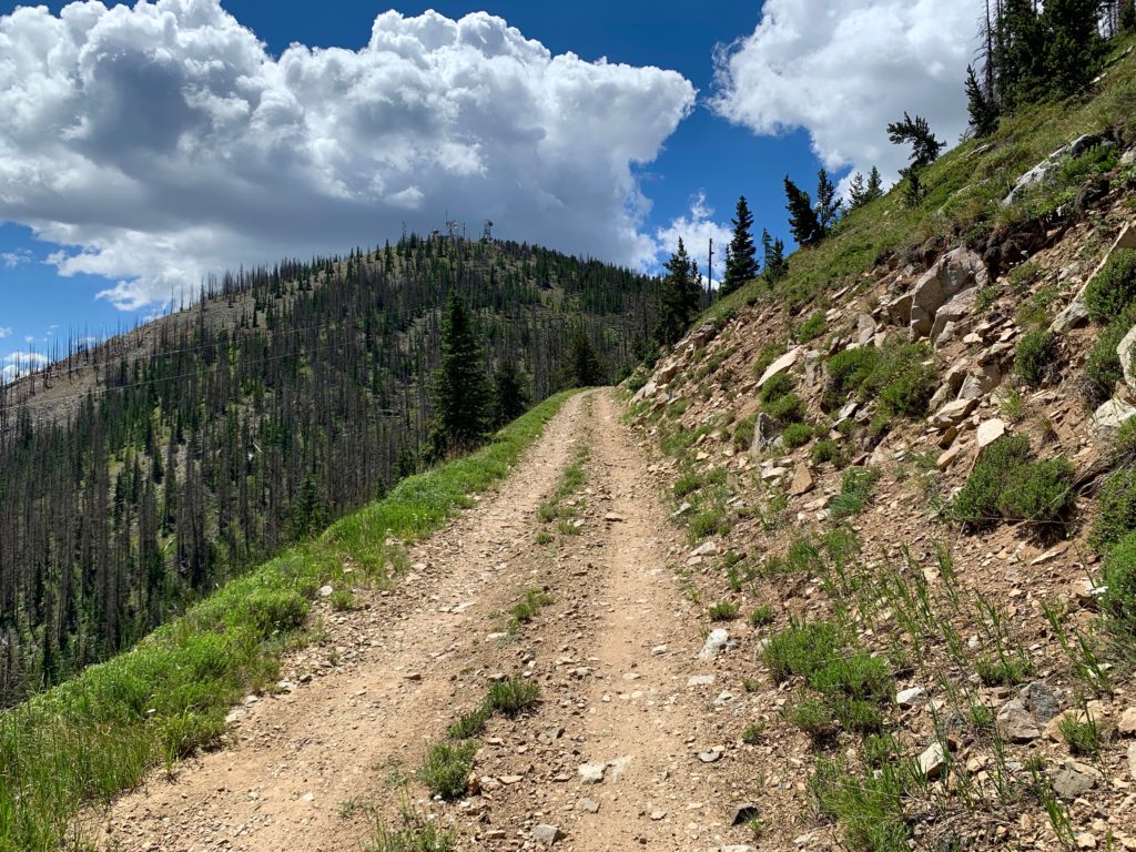
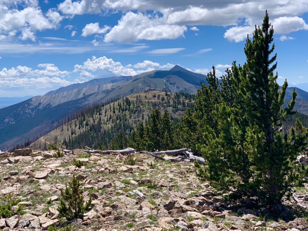
Methodist’s south summit comes into view. Also home of several communication towers.
On the saddle between the north and south summits. Left to the south summit, straight to the main summit.

Still more climbing.
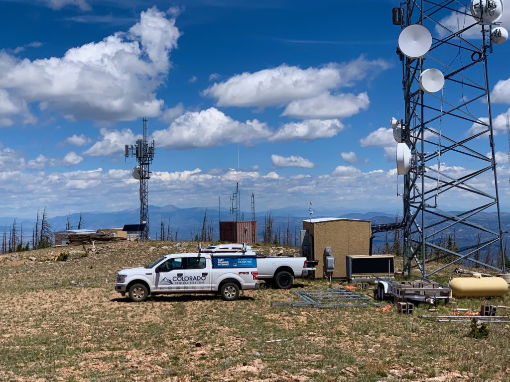
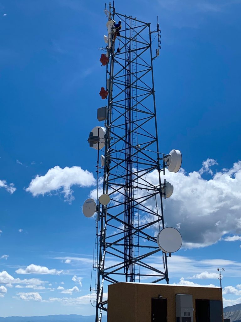
On top I had company from Colorado Central Telecom, who were working on one of the towers.
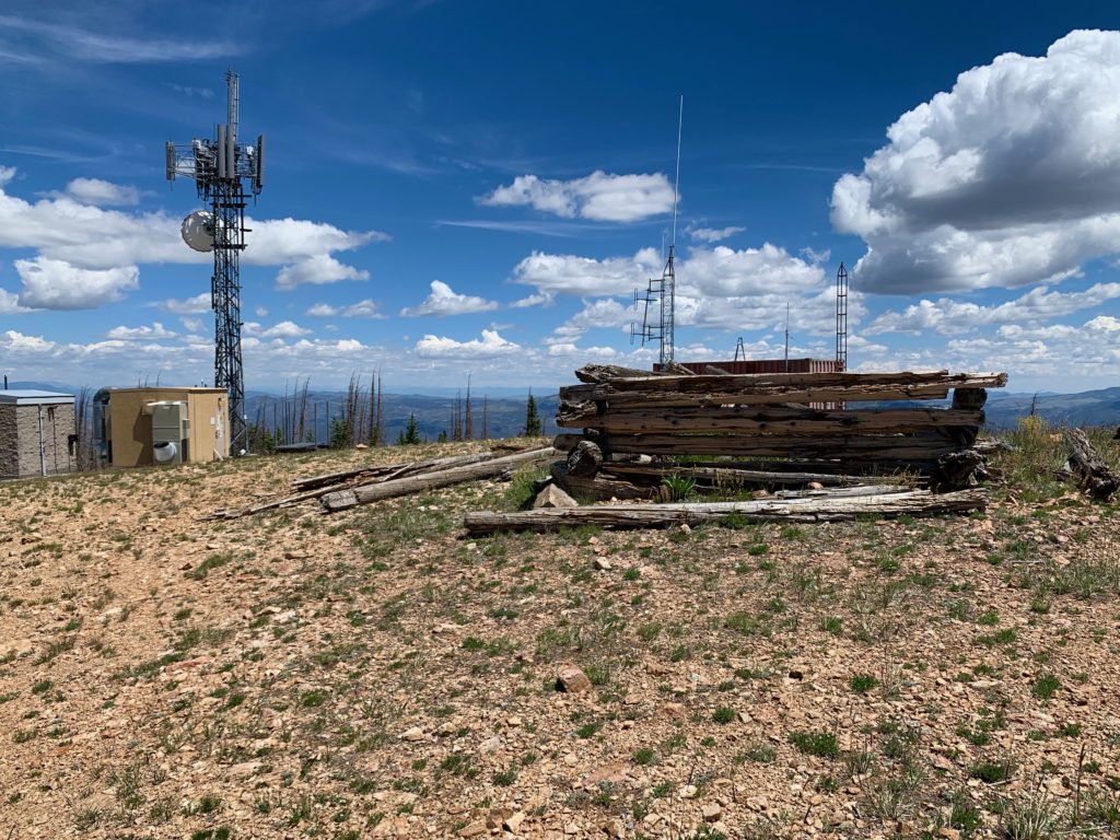
In the middle of all the high-tech equipment was the remains of an old cabin. An interesting juxtaposition.
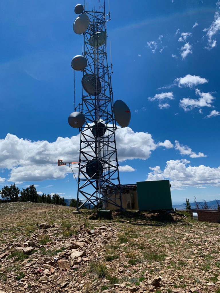
And then there was this guy. I don’t know what he gets paid to climb to the top of a tower on top of a mountain in 30 mph winds but I hope it’s a lot.
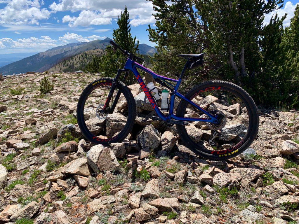
Summit glamour bike shot.
Looking to the south summit with Simmons Peak behind.
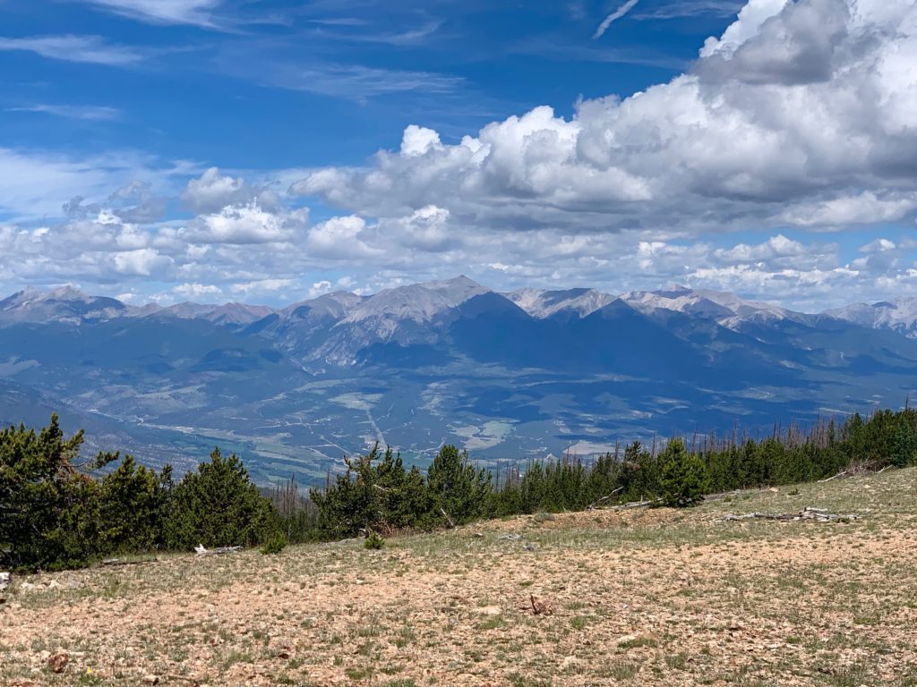
Looking southwest to Antora Peak, the southernmost mountain in the Sawatch range.
My favorite Native American family Ouray, Chipeta and Pahlone to the west.
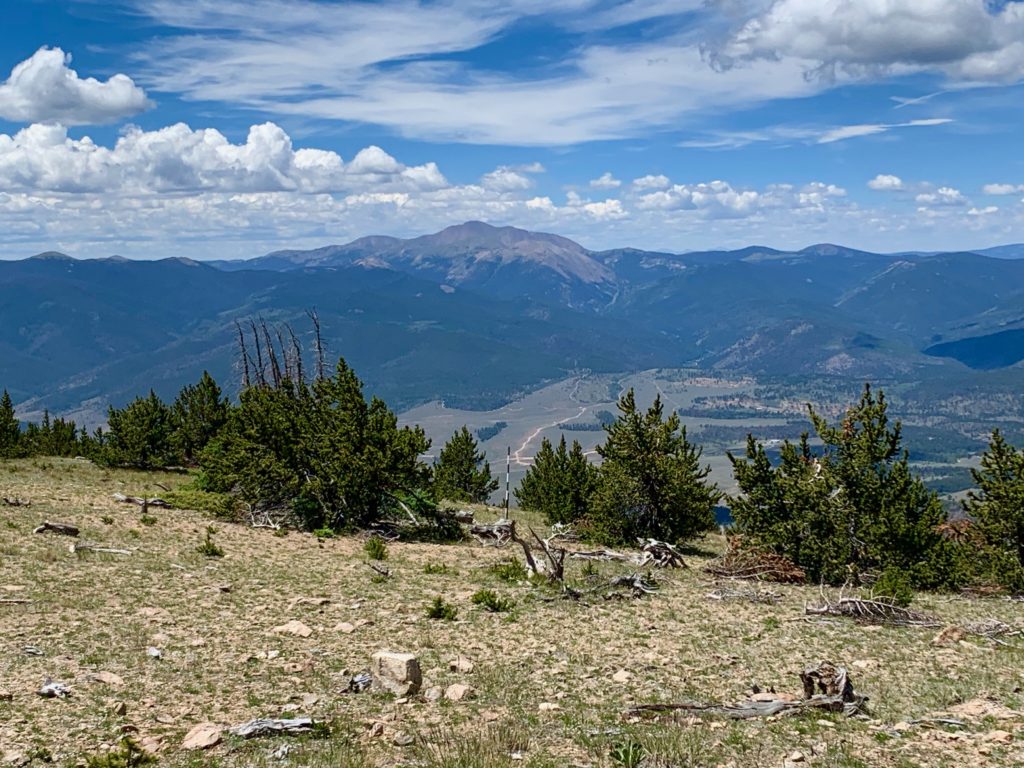
Shavano, Tabeguache and Antero to the Northwest.
I was surprised to discover that even though Methodist Mountain is distinctly visible from Salida, you can’t see Salida from the top of Methodist. This is due to the gently sloping, rounded shape of the summit and the thick forest just below the towers that block the view downhill.
So, the 8.5 miles trip from our house to the top took me three hours, which was a full hour longer than I estimated. Like I said, a grind. But in my defense, it was 4,200 feet of climbing and I may have gone a little heavy on the breakfast that morning. Mmmm… pancakes. The good news, it was a flying one-hour descent all the way back home. Would I do the ride again? Doubtful. It was tough. But there’s a nice sense of accomplishment in having done it, in having climbed my home mountain.
Hey there, I live in Salida too. I think you wrote a TR on 14ers on Browns Creek once upon a time! I hike up to that Methodist gate from the SMT parking area pretty often. Once upon a time I went up the steep hill to avoid the gate en route to the summit, but I think it may be time to go under it. 🙂
Hey Dillon. I could have swore I read somewhere that after the Decker fire the forest service worked out an agreement with the land owner to leave the gate open so I was surprised to see it locked. But I wasn’t the only one that went under it that day. I passed a hiker just past the gate coming down the road as I was going up, so who knows? There’s nothing on the property anymore. There used to be an old cabin but it’s gone, presumably a victim of the fire.
Works for me! 😂 also I did cyclone from browns creek yesterday. I had never been up browns (still haven’t been up little browns). What a great spot and route.
Agree. Congrats on getting Cyclone.