Most of our mountain climbing to this point has been in our local range, the Sawatch, or near Fairplay in the Mosquitoes. Looking for a change of scenery I wanted to try something in the Sangre de Cristos south of Salida. The problem is, most of the Sangre peaks are above my pay grade in terms of climbability.
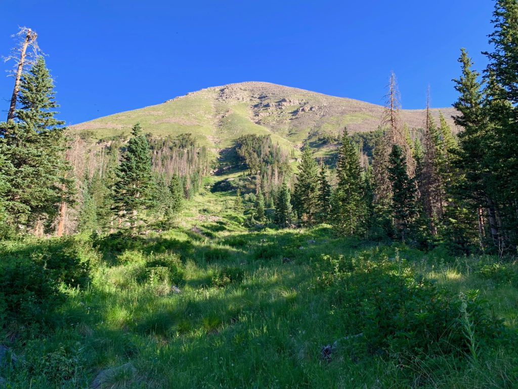
But there is one, a few miles southwest of Westcliffe, Humboldt Peak. Like the Sawatch or Mosquito 14ers Humboldt has a long gentle approach on a well-defined trail followed by a rock scramble near the summit. Totally doable. Plus, Humboldt offers something unique. While it’s a moderately easy climb, it’s in the same basin as two of Colorado’s hardest, most iconic mountains, the Crestone Needle and Crestone Peak. Even if you’re not planning to climb anything, the hike into South Colony basin is worth it just to see these two spectacular peaks up close. I had previously only glimpsed the Crestones from their less-impressive west side. I was looking forward to this one.
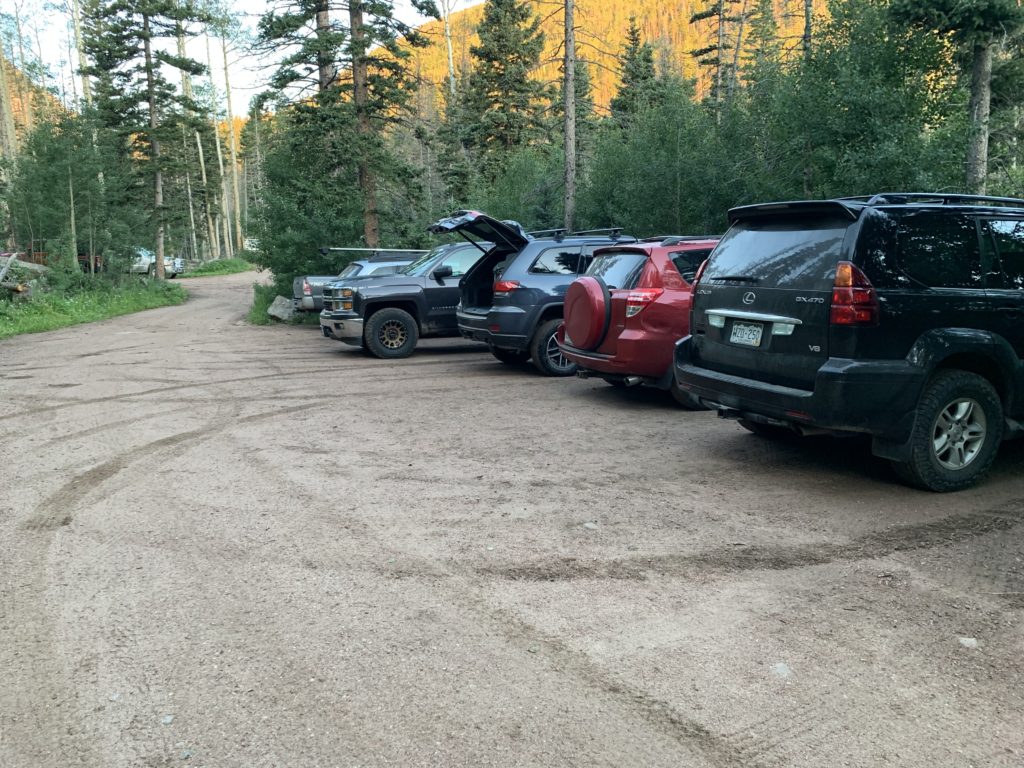
Humboldt is accessed from the east via the South Colony trailhead. There is a lower 2WD trailhead but parking there adds five miles to the hike and misses one of the most fun parts of the day, four-wheeling up the steep, gnarly rock-strewn road to the upper 4WD trailhead. And boy, is it gnarly. Huge imbedded rocks that require careful tire placement to avoid banging important stuff on the underside of the vehicle. Sections that are so steep you can’t see over the hood to spot these obstacles. And at least one hub-deep water crossing. At first I was intimidated but after cleaning several sections and starting to feel the capability of the Jeep I gained confidence. I could feel the testosterone building the higher I climbed. I could hear Tim Allen’s cave man grunts in my head. Outa my way, I’m a badass 4WD guy!!!
Then I reached the trailhead parking lot and pulled into a spot next to a Toyota Rav 4. WTF?!? How on god’s green earth did someone get that thing up here??? Welcome to Colorado. Ego successfully reset.
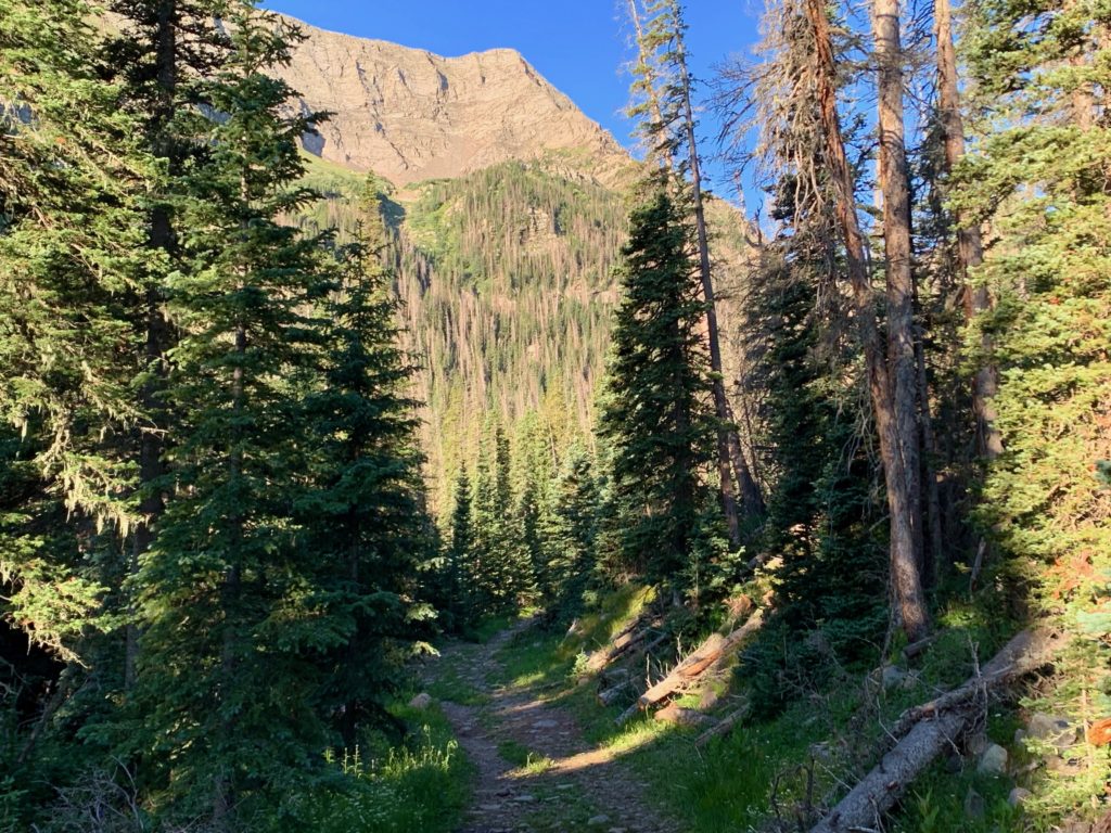
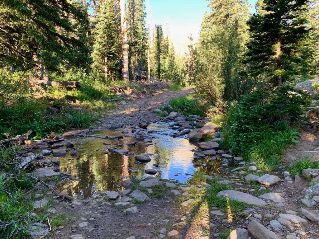
The trail starts out by crossing a bridge over South Colony creek and then follows an old 4WD road for 2.5 miles.

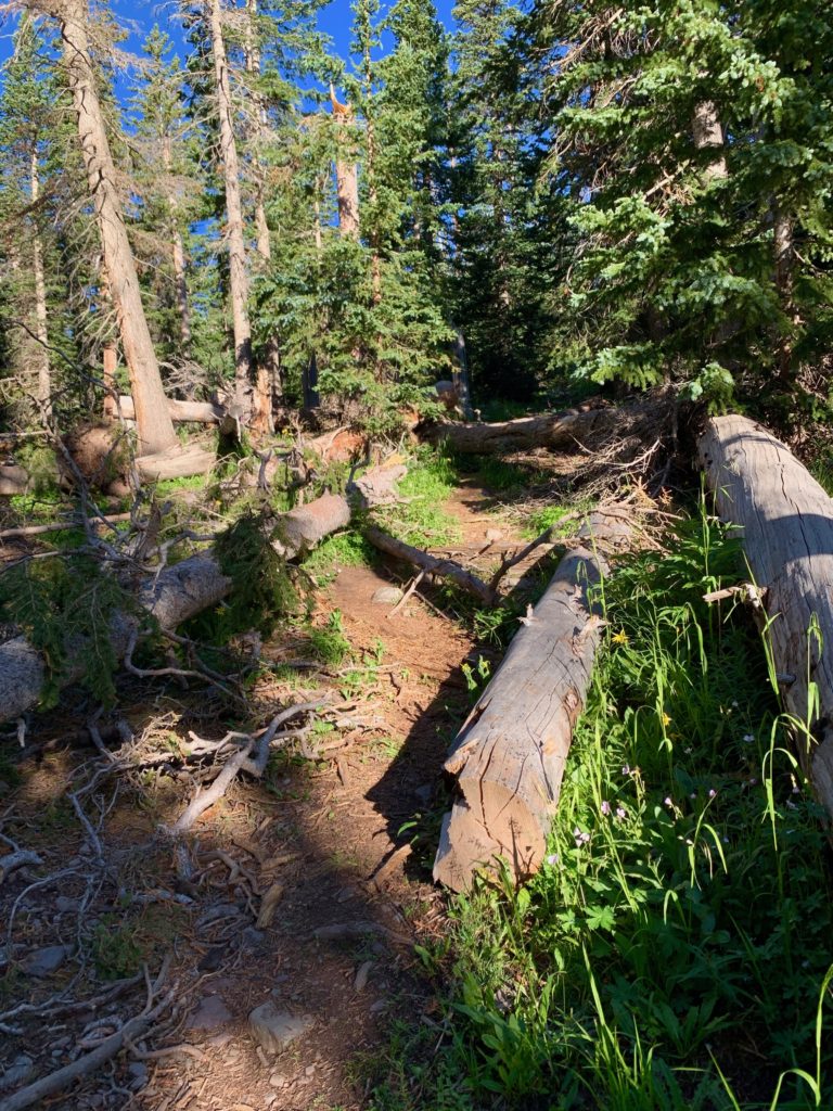
The road has been blocked off to vehicles for years and mother nature is slowly turning the double track back into a single-track trail.

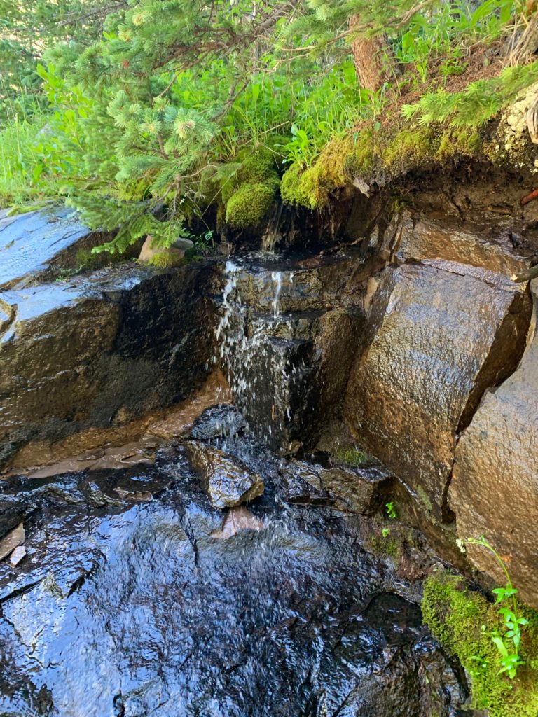
Spring flowing out of the rocks next to the road.
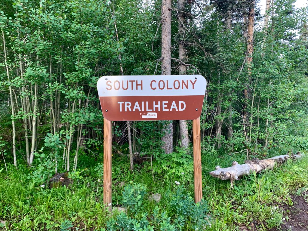
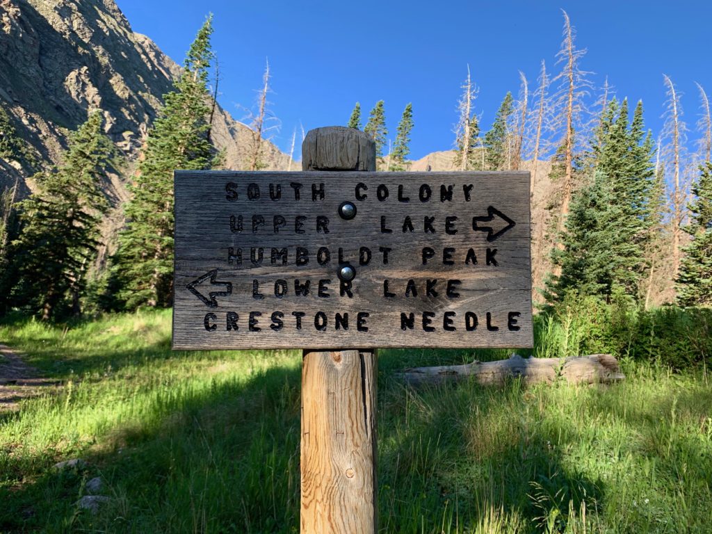
At this sign the road splits into two trails, both of which go into South Colony basin. Take the right trail for Humboldt Peak.

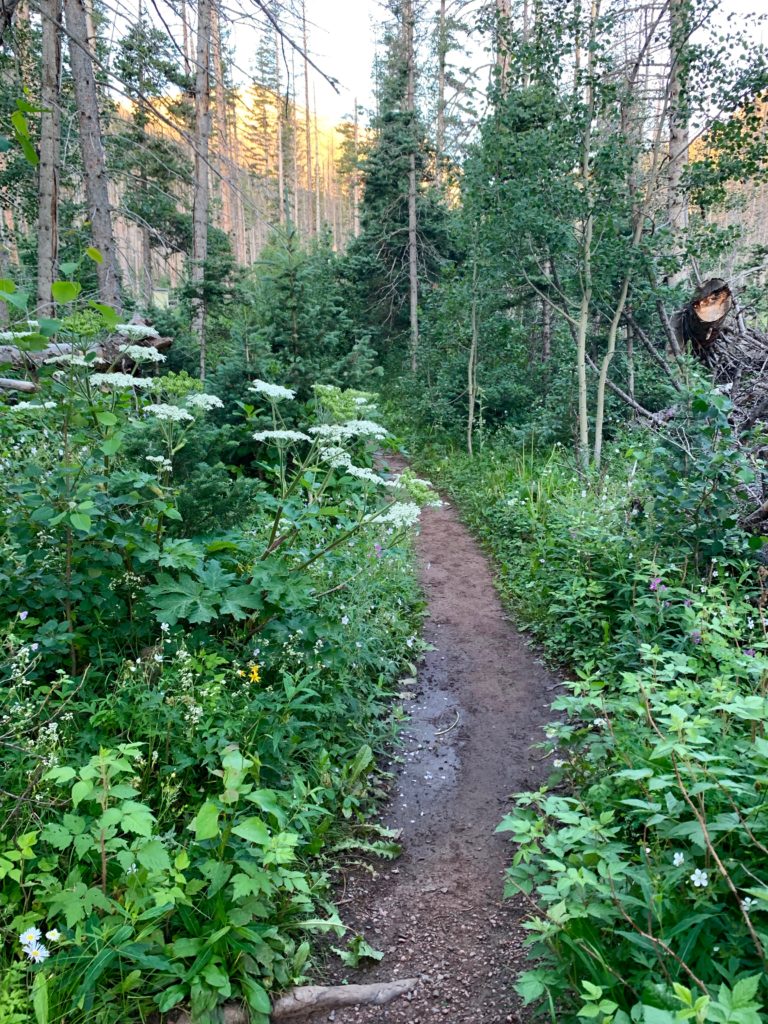
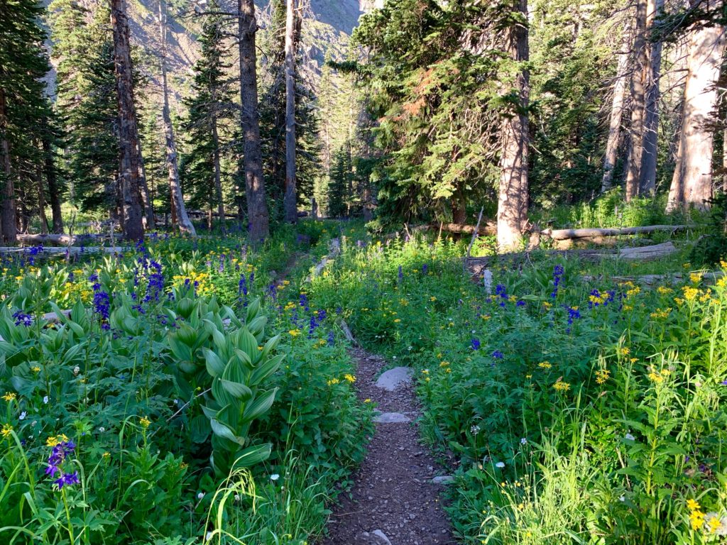
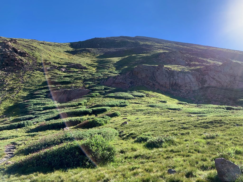
From this point on I was on a beautiful, well-built trail through forest and wildflowers.


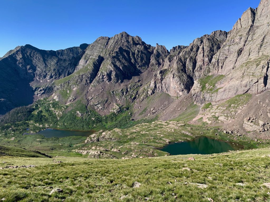
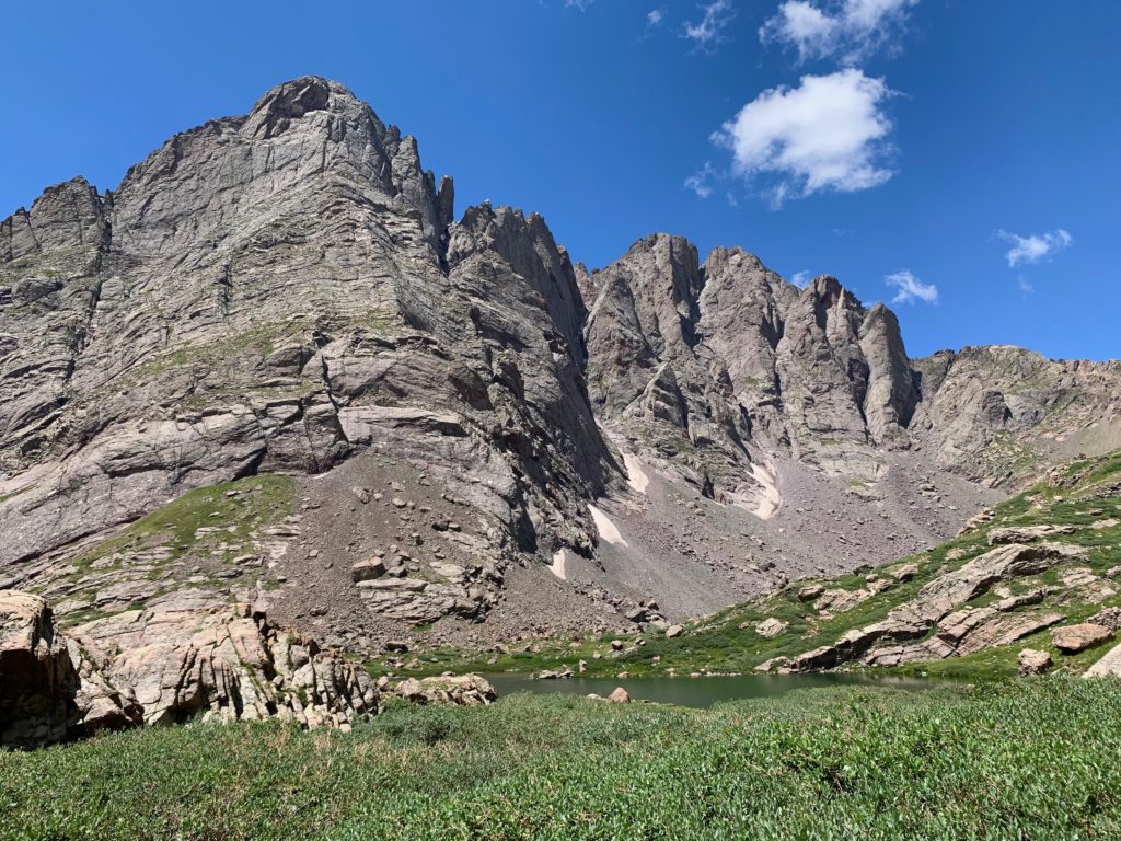
The sight of Broken Hand peak is the first indication you are entering South Colony basin.
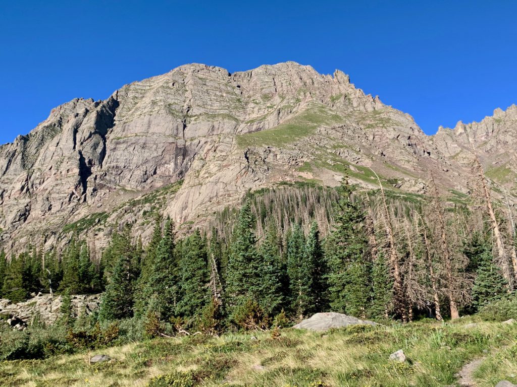
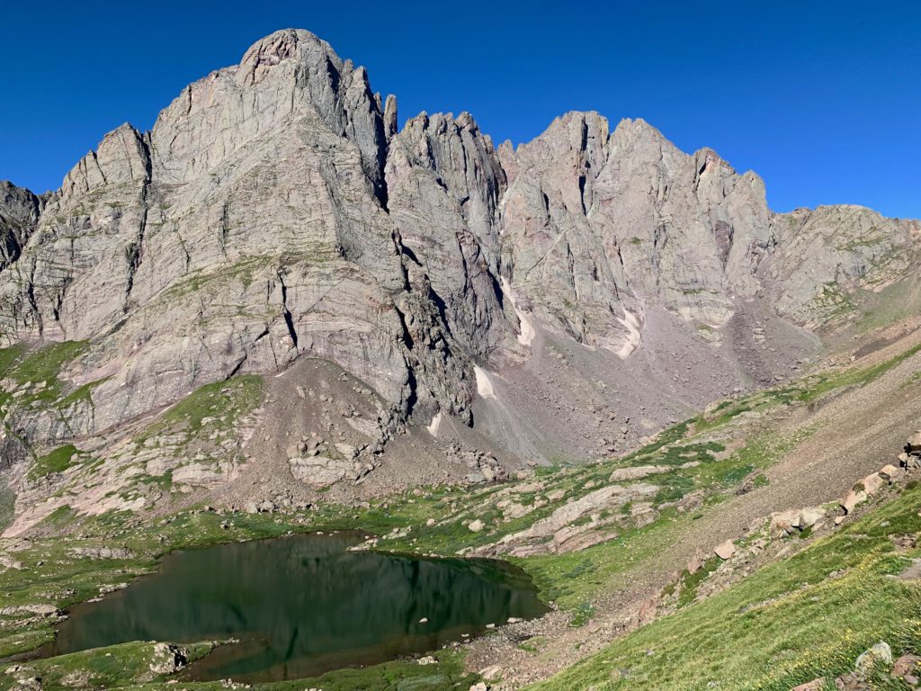
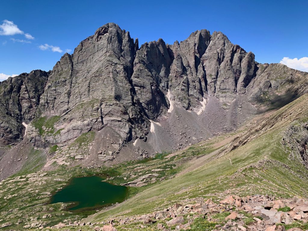
And then you turn the corner and there it is, the Crestone Needle towering over lower South Colony lake.
Heading into the upper basin with the Crestone Needle always in view.

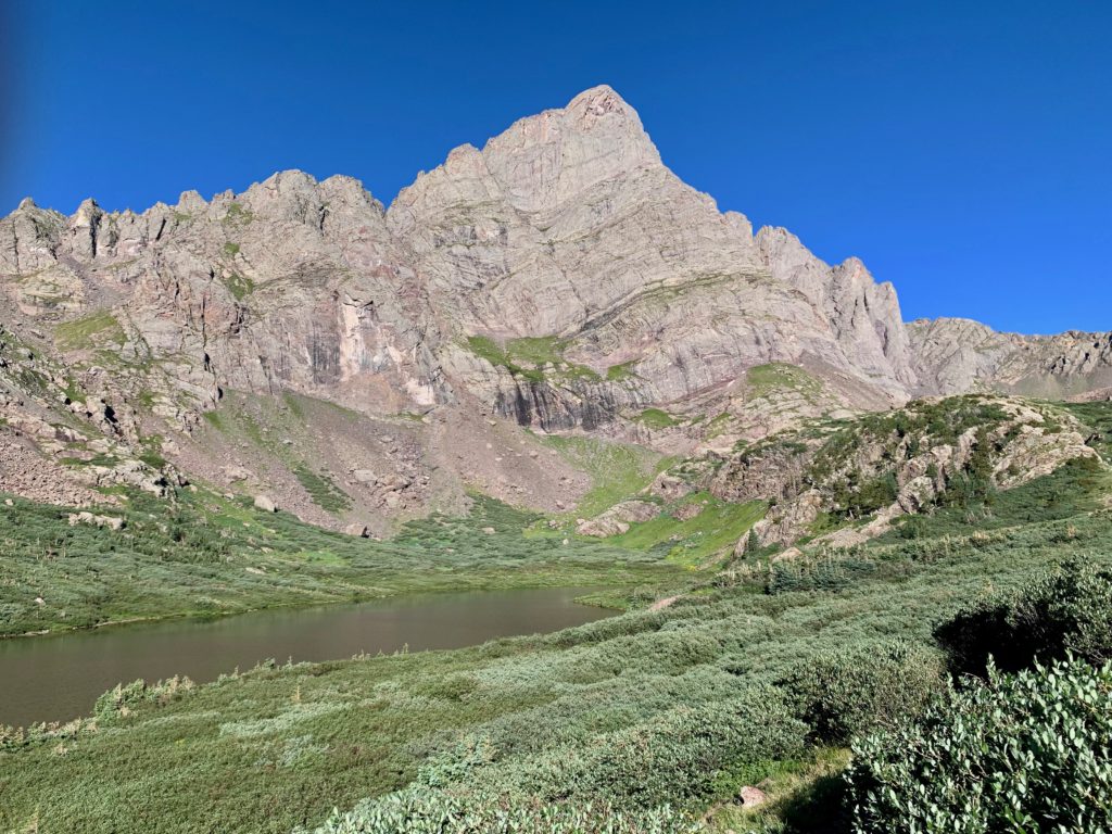
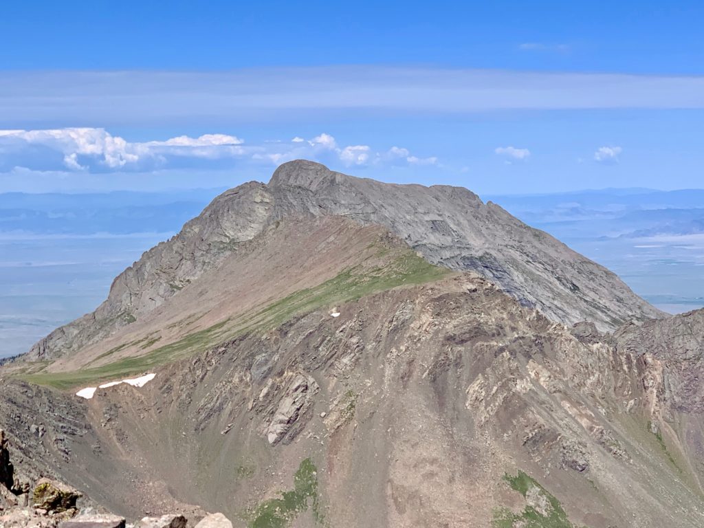
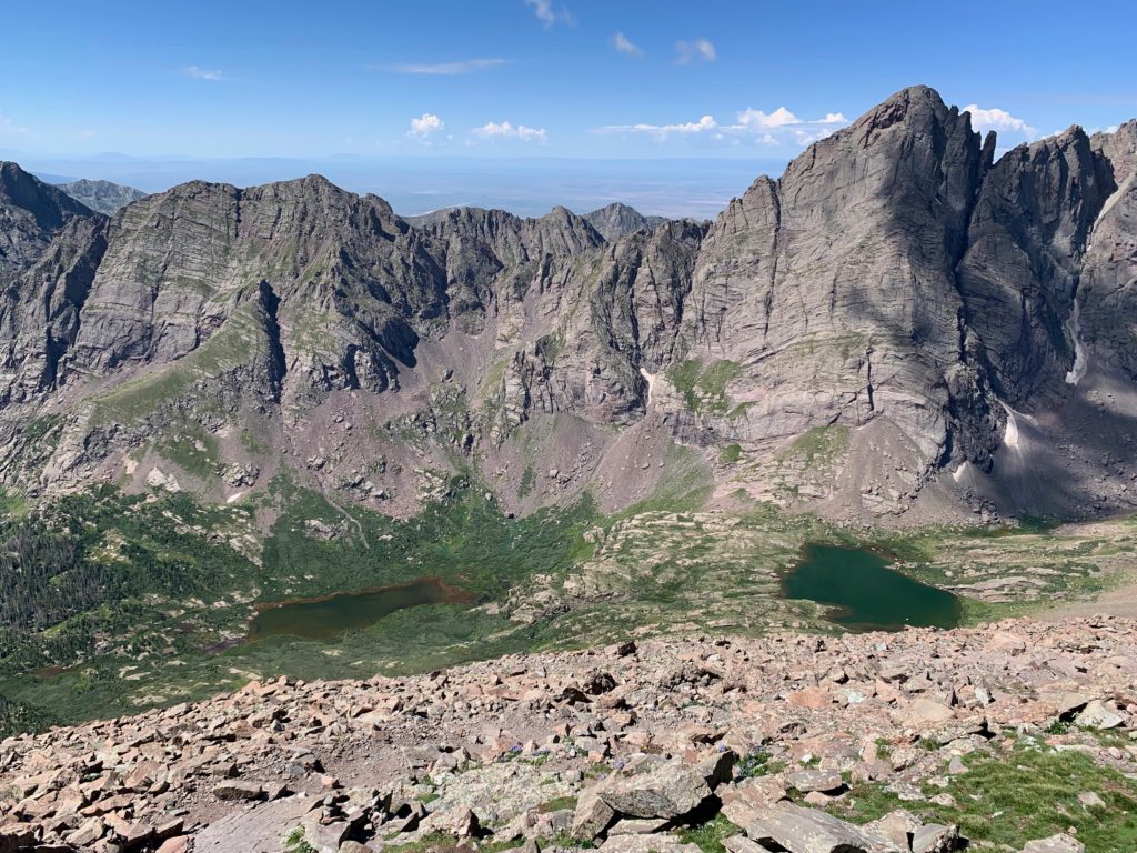
The Crestone Needle (left) and Crestone Peak (right) with upper South Colony Lake.
The experience of entering the South Colony basin with the Crestones soaring over your head is similar to that of walking into St. Peters in Rome or Sagrada Familia in Barcelona. Better actually. Pick your adjective: spectacular, stunning, breathtaking, jaw-dropping, even awesome, as in the meaning of ‘awesome’ before it came to be used to describe snowboard moves and stuffed crust pizza. My kind of cathedral.
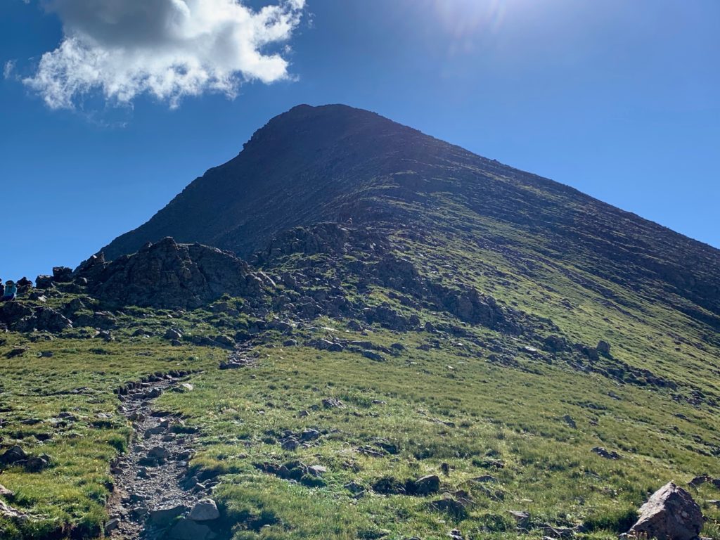
And as much as I could have just sat down and stared at them all day, there was the little matter of climbing this. Humboldt’s west ridge.
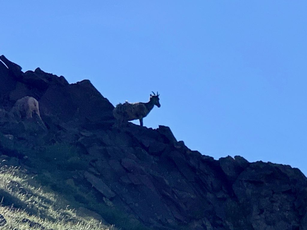
Shortly after starting up the ridge I looked up to see two big horn sheep on the rocks above me. They were backlit by the early morning sun and looked like silhouettes against the blue sky. Unfortunately, they moved before I could get my phone out and the best I could get of them is this crappy zoomed picture.
Climbing up to Humboldt’s saddle.
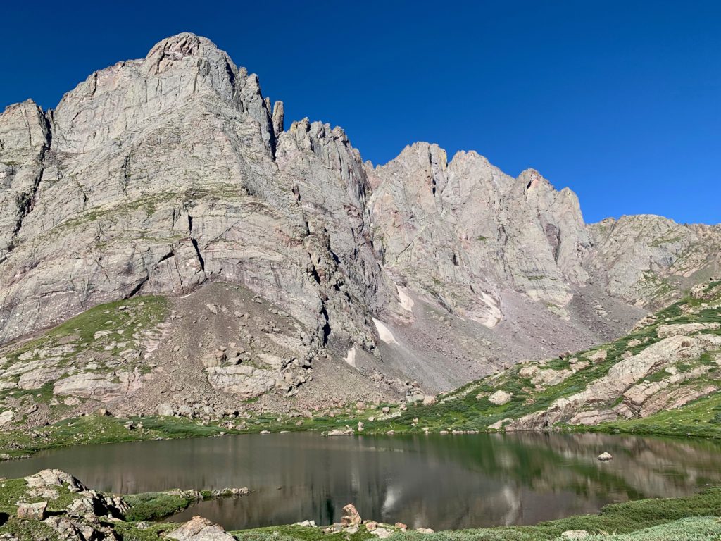
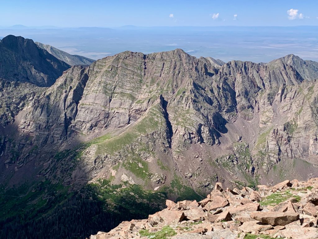
Looking back at the Crestone’s and upper South Colony lake.
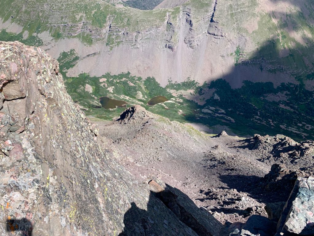
Upper and lower South Colony lake from Humboldt’s saddle.
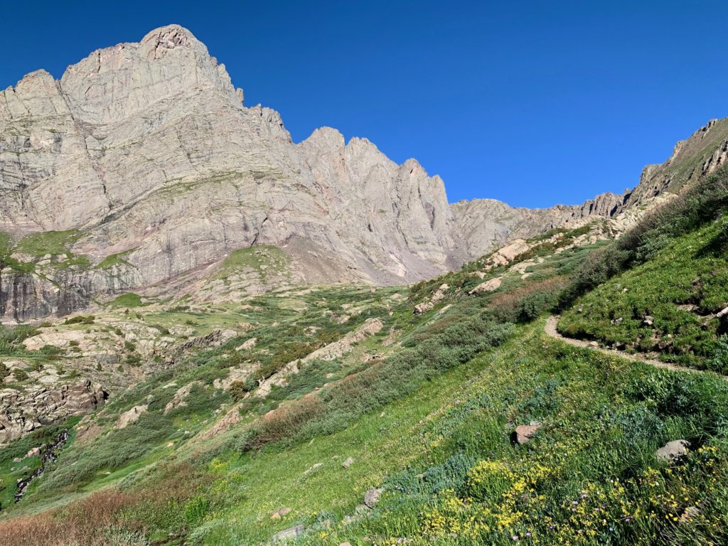
Looking up at the rest of the route from the saddle.
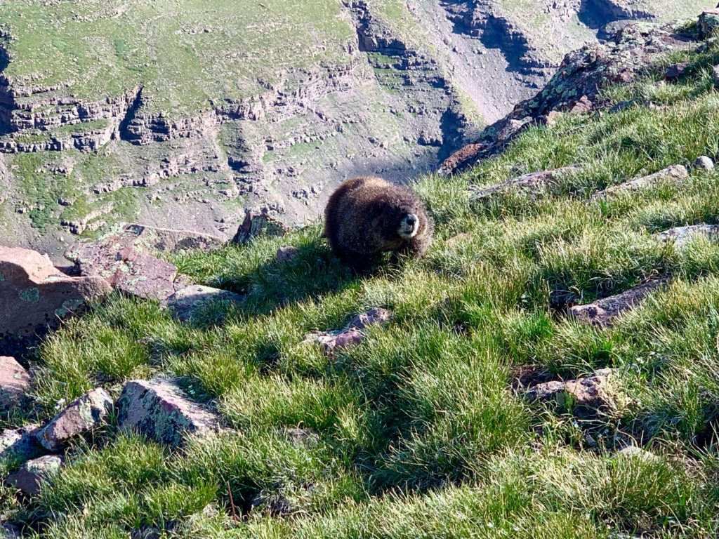
Marmots live all over the Colorado mountains. Some mountains have more of them than others. There must’ve been hundreds of them on Humboldt. The most I’d seen since our climb of Mt. Yale several years ago. And the Humboldt marmots were bold! They’d let you come within a few feet of them before giving their characteristic whistle and disappearing into the rocks.
And then there was this guy. I spotted him walking toward me as I was crossing a grassy section high above Humboldt’s saddle. I stopped to pull out my phone for a photo and to my amazement he just kept coming.
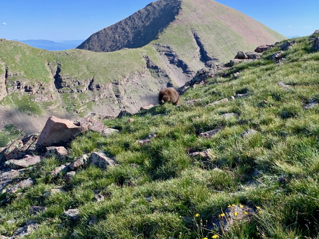
Marmots are round and fluffy with short legs. They sort of waddle when they walk. Adorable.
When he was about 10 feet away, I heard something behind me and turned to see one of his buddies closing in from behind me.
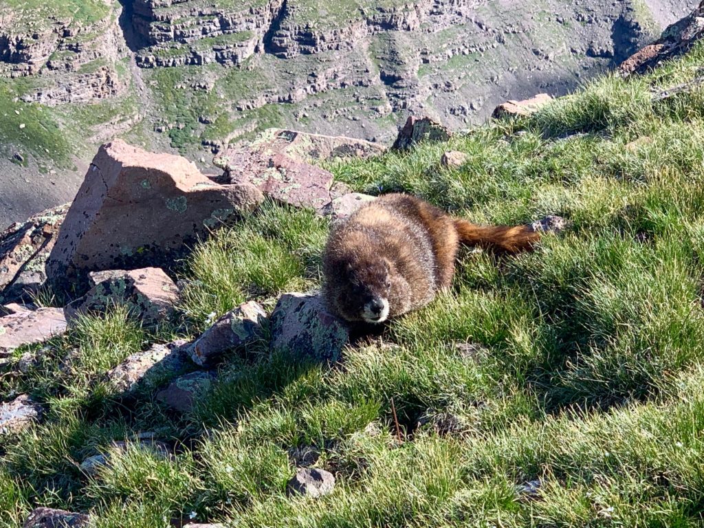
At that moment the first marmot charged. Well, waddled fast, to within inches of my foot. The little bastard had pulled the “clever girl” move of the velociraptors in Jurassic Park. Thankfully, marmots are no relation to velociraptors. But they are wild animals with teeth and here was one within chomping distance of my left ankle.
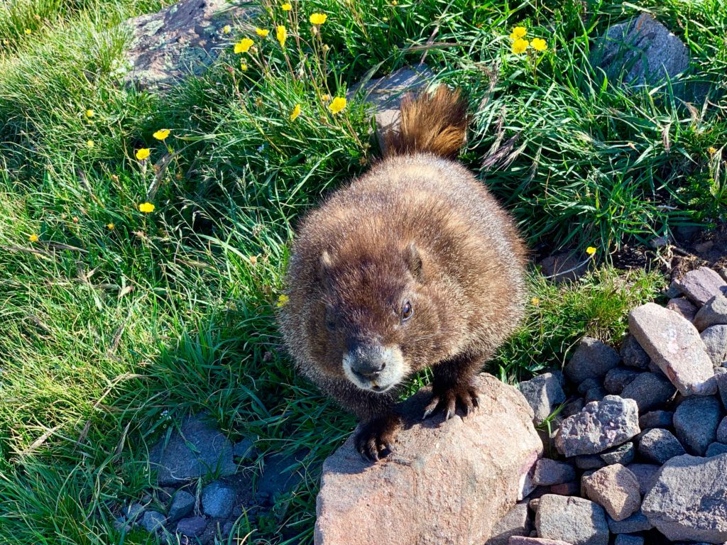
I was unclear on the protocol. So I bent down, looked him in the eye and said, what do you want? He sort of raised up and looked at me and I realized the little guy was looking for a handout. A snack. He was like one of those aggressive panhandlers I remember from the streets of Houston. I never gave those guys anything and I didn’t give the veloci-marmot anything either. Sorry little dude. Kids, this is why you don’t feed wild animals.
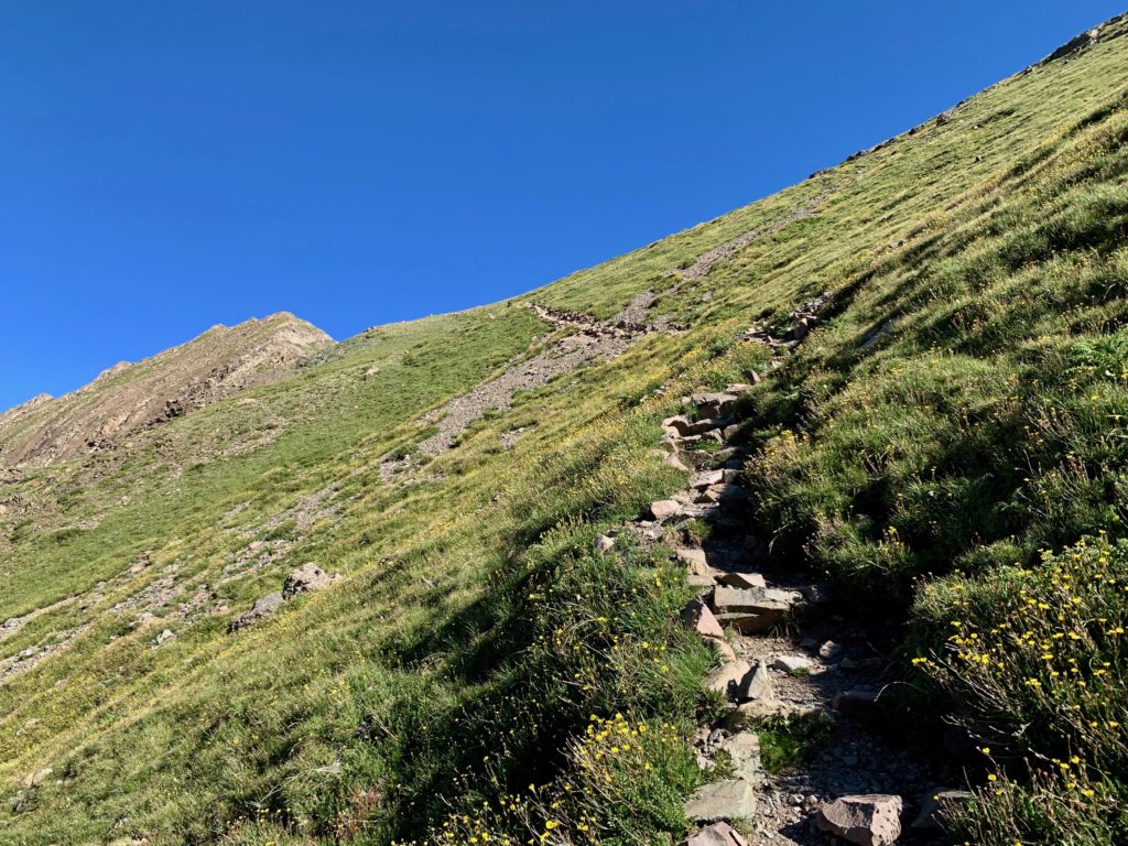
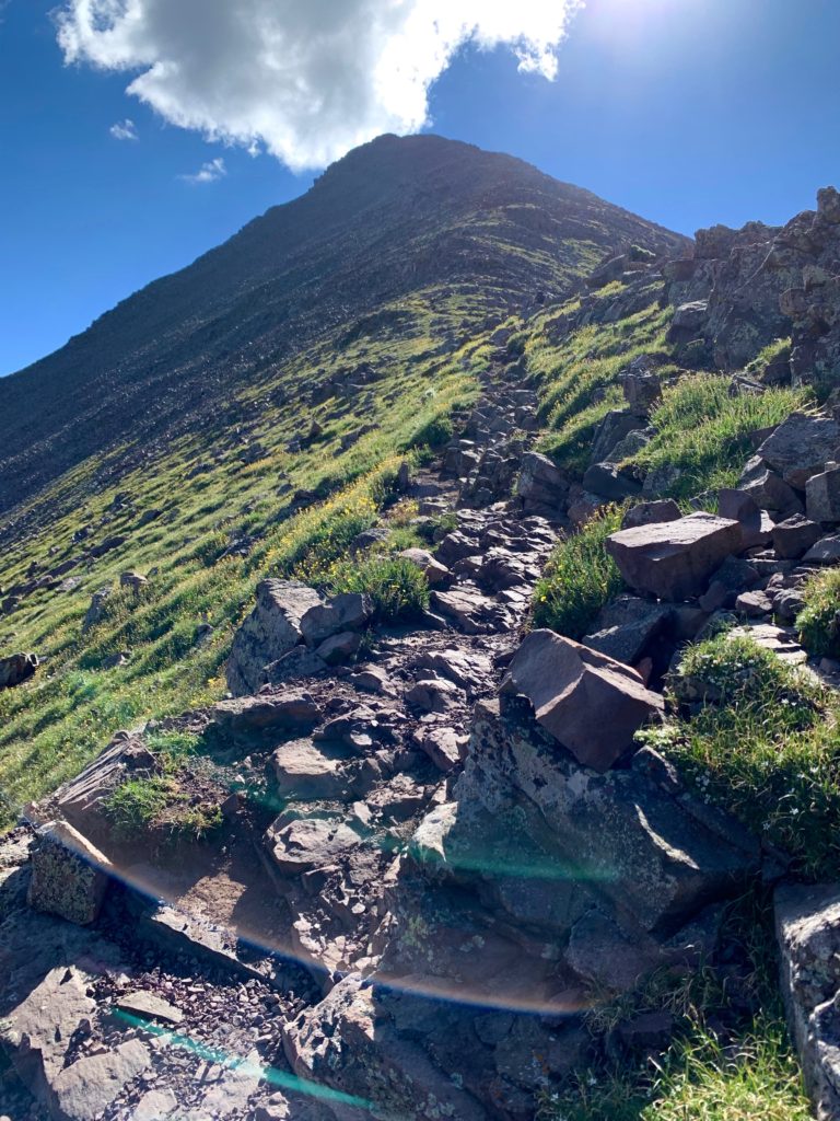
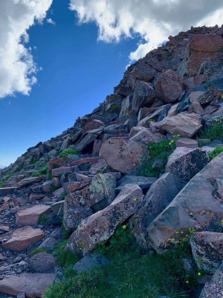
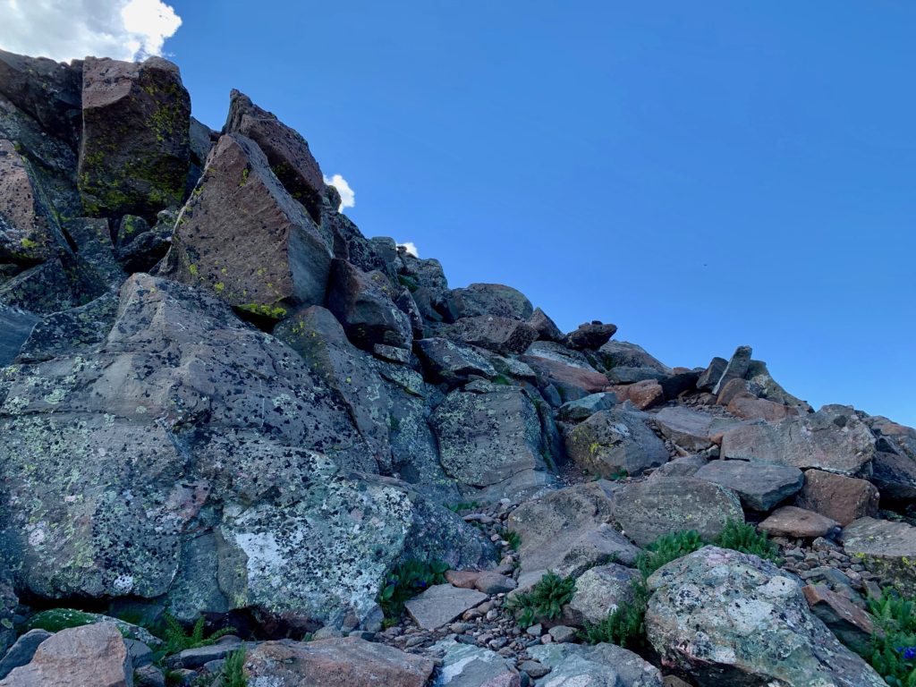
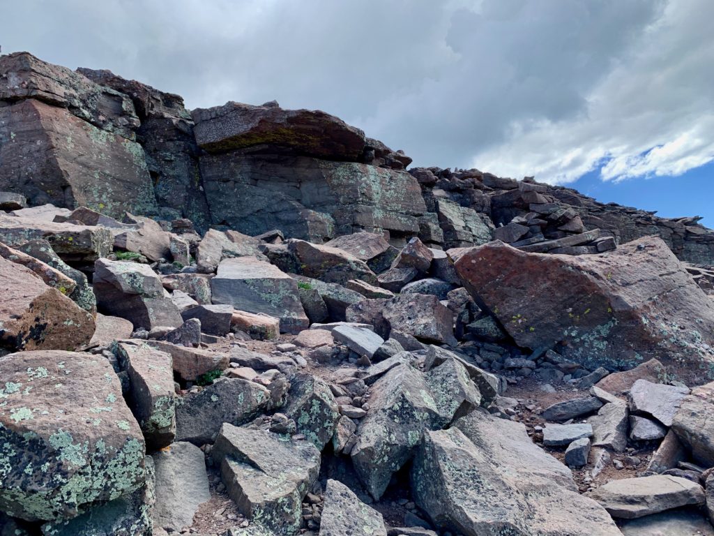
Just below Humboldt’s false summit the climbing gets much steeper and rockier. People had set cairns to mark the way but in the jumble of large rocks I found it difficult to spot them from below. Of course, it didn’t matter that much. On route or off, it was all one giant rock scramble. Just keep moving up.
Just past the false summit I heard the sound of an approaching airplane. The strange thing was, the sound was below me instead of above me. I turned around to see someone flying what looked like a restored WWII military plane across the basin. It was green and yellow and sounded much louder than a typical prop plane. Left, just below center in this photo. It’s not every day you get to see a plane flying below you. Very cool.

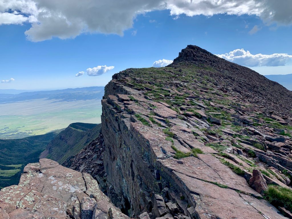
On the ridge approaching the summit Humboldt’s cliffy north face becomes obvious.
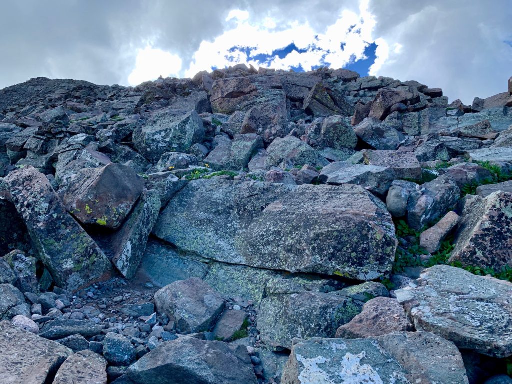
Last move to get on the summit. That ledge is about four feet tall and unless you’re more flexible than I am it requires a sort of standing push up to get up.
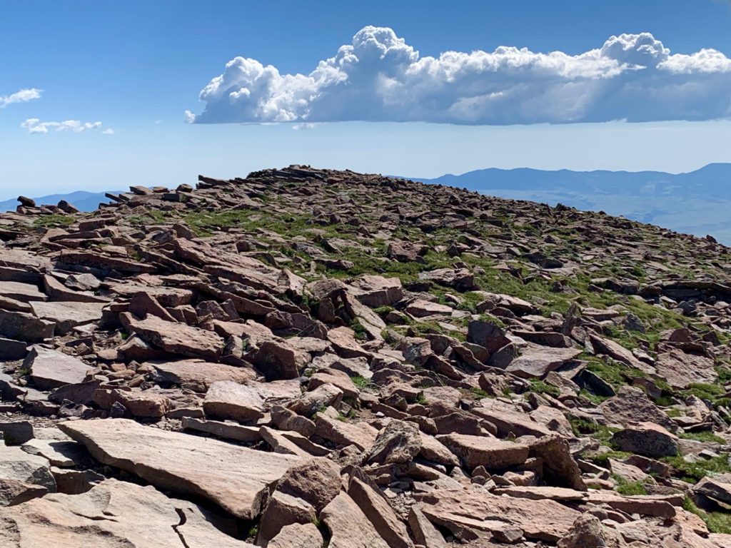
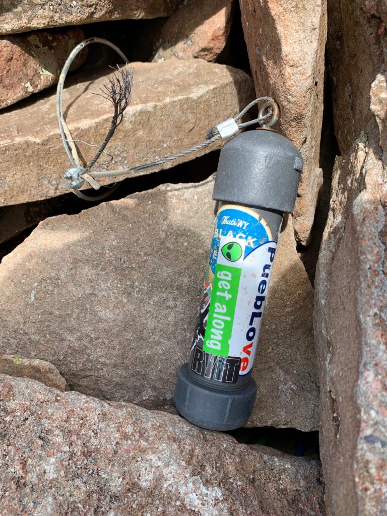
Summit of Humbolt Peak. It even had an intact summit log.
And of course, amazing summit views.
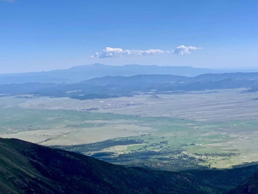
The town of Westcliffe to the northeast.
Kit Carson Peak to the northwest.
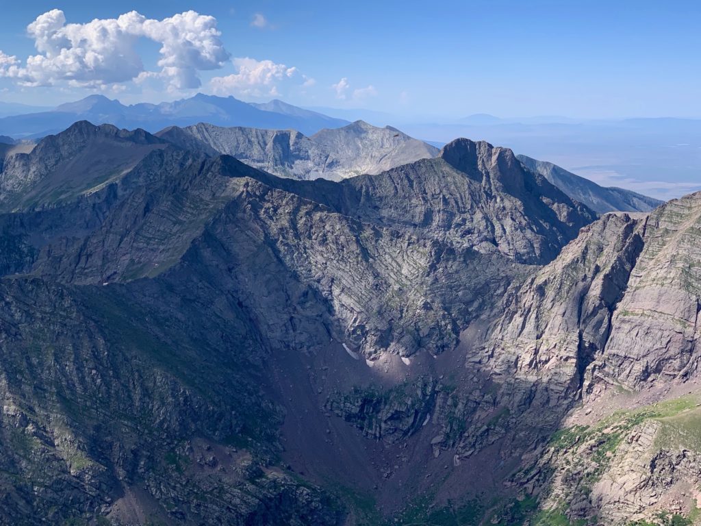
The Crestones from Humboldt’s summit. In every other photo Crestone Peak (right) looks shorter than the Needle (left) because it’s farther away. From this angle you can see the Peak is actually slightly taller.

Broken Hand Peak.
13ers Milwaukee Peak and Pico Aislado in the foreground with the rest of the Sangre de Cristos stretching to the south.
North Colony Lakes.
South Colony Lakes.
It was a perfect day on the summit. The climb had taken me four hours which, considering I was the second person to summit after a guy who was running, seemed respectable. I sat down on a rock and had my lunch and enjoyed the scenery while others began arriving. I spent a half hour or so on top chatting with my fellow climbers about the aggressive marmots and that cool airplane then decided to head back down.
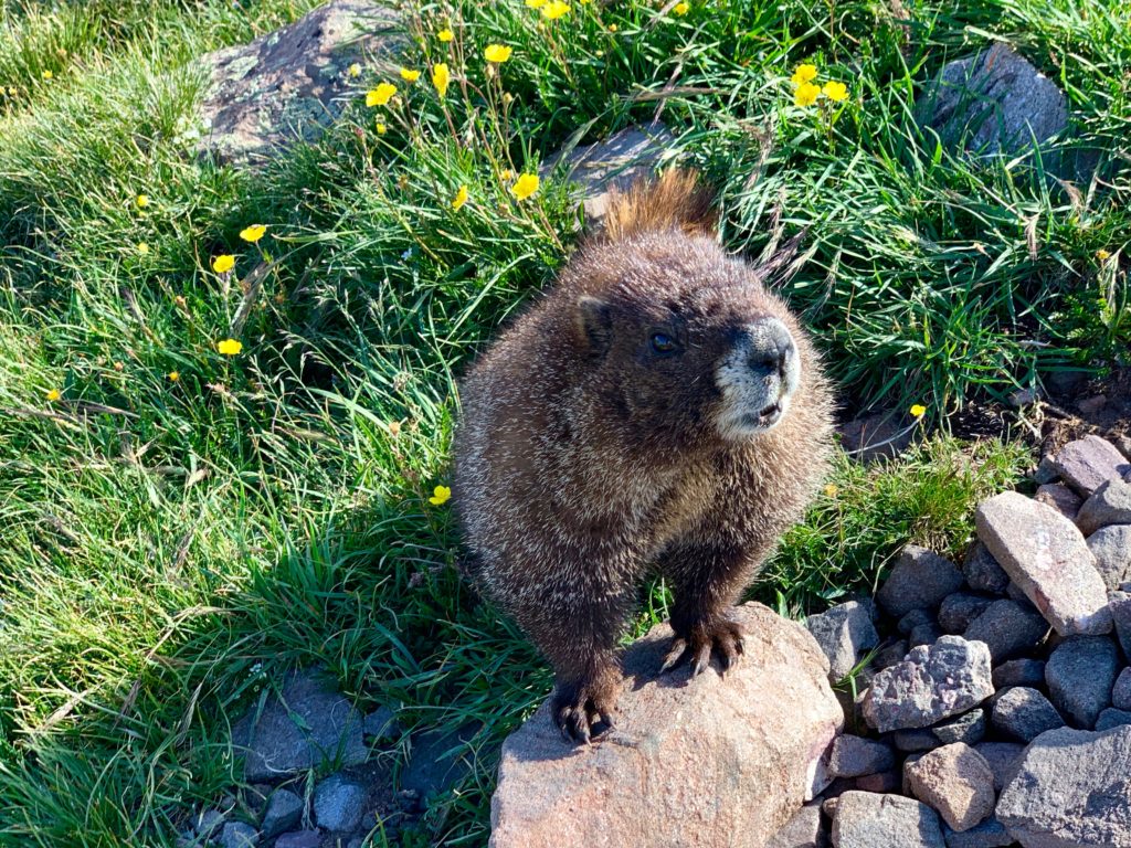
This guy was more interested in catching some rays than food.

The first part of the descent was slow going, partly because of all the rocks and partly because when you’re going down, the Crestones are alway in view and it’s nearly impossible not to stop every few minutes and just gaze at them.
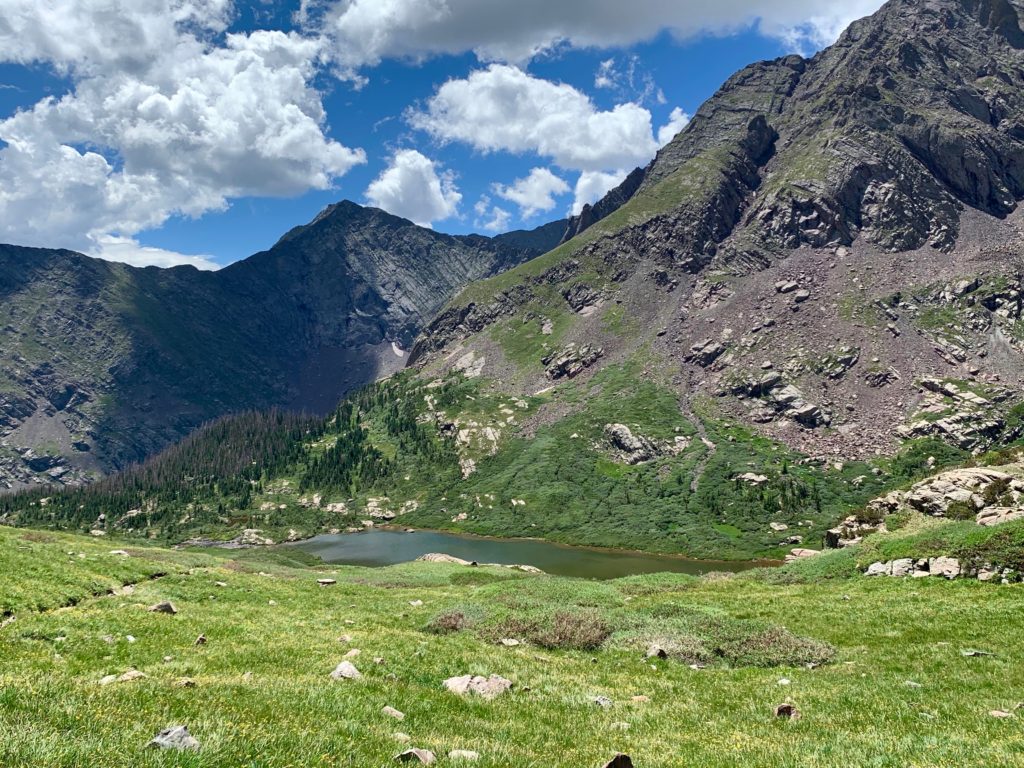
Back down to the upper lake.
The lower lake in the afternoon sun.
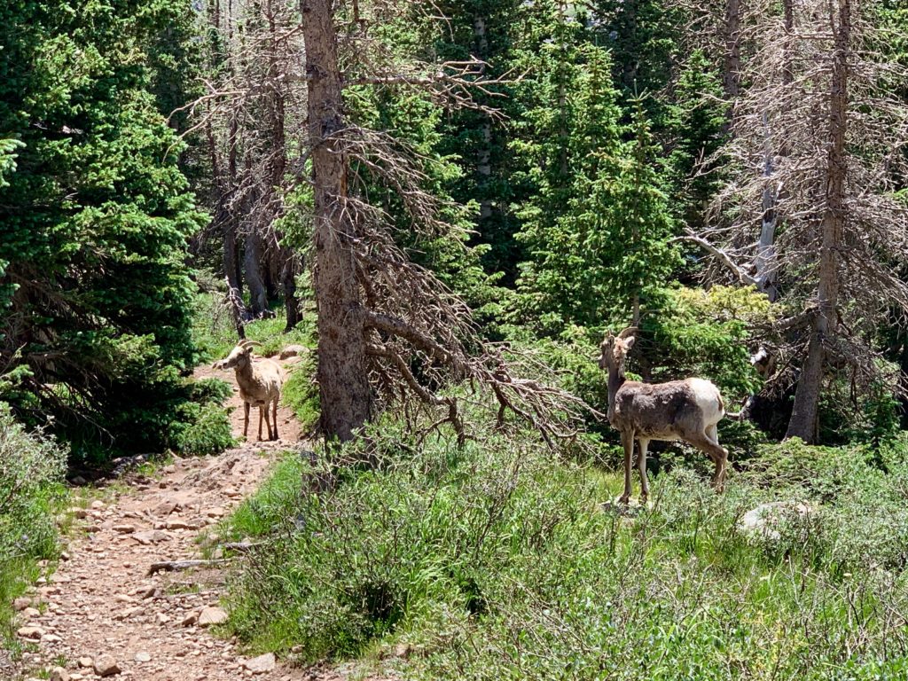
As I was about to leave the lower basin, I came around a corner and was surprised to run into these two. I don’t know if these were the same two sheep I saw on the rocks in the morning but given that big horns normally travel in herds it seemed likely. It was cool to get this close to them.
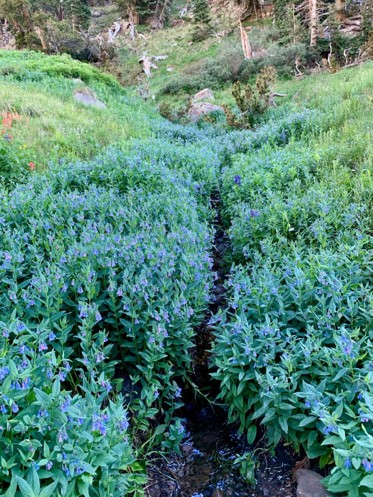
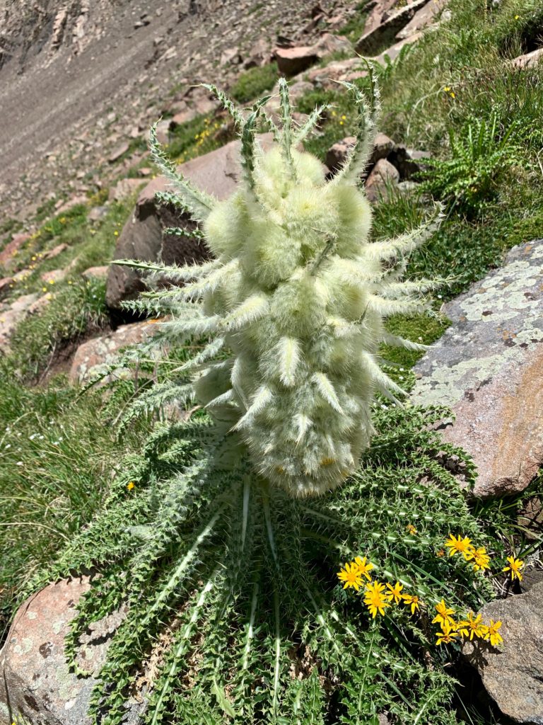
And a couple more wildflower shots.

Walking back down the road to the parking area tired but happy, I ran into two guys who were also finishing their day. They were from Winter Park and had just finished climbing The Needle. Having now seen that thing up close I was impressed and started peppering them with questions.
When did you start?
3:30 a.m.
From where?
We camped at the trailhead.
How hard was it?
Not as bad as we expected.
What about the exposure?
Lots of that, 1,000 feet in some places but the rock was solid and the hand holds were good.
How was the downclimb?
A little tricky but we took it slow.
And how about that road getting up here?
That was the hardest part of the whole thing, especially in a Rav 4.
…
Me, further humbled. Moral of the story: don’t judge a climber by their vehicle.