It’s a testament to the quantity of trails around here that after riding 3 – 4 times a week most every week for three years straight there are still trails I haven’t explored. I’m a lucky man. One of those unexplored trails is Starvation Creek.
The Starvation Creek trail drops off of the Colorado Trail about a mile past the summit of Marshall Pass. I’ve seen the trailhead multiple times riding the Monarch Crest. Starvation Creek is one of the Crest bailout options, the fourth one to be exact, if your legs give out or if the weather turns bad and you need to get out of the mountains sooner than expected. Usually when I ride the Crest, I’m looking to do the whole enchilada and so far, I’ve had luck with the weather so I’ve never taken it. As it turns out Starvation Creek is a beautiful ride in its own right.
First things first, that name. Most things in the Colorado mountains are named for something colorful or horrible that happened back in the pioneer days. As you might guess, Starvation Creek was named for something horrible. There are no cattle up there these days just hikers, bikers and the random deer.
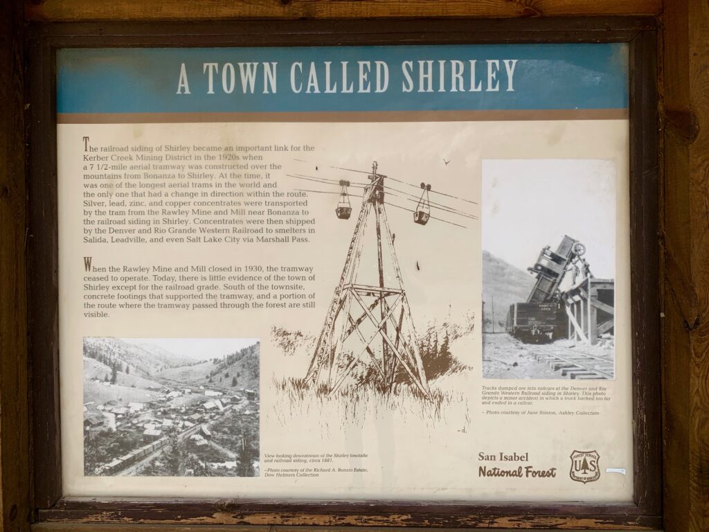
Reading reports of others who’ve ridden Starvation creek, it seems the most popular way to do it is to park at the old mining townsite called the Shirley Site about two miles up the road from the start of Marshall Pass and ride a loop that climbs Marshall Pass and descends Starvation Creek.
Because I was in the mood for some extra miles and because I generally like the idea of not driving to a ride, I decided to ride it from home. It would make for a big day of just under 50 miles, but it’s literally downhill from the top of Starvation Creek all the way back to Salida, so even if you blow up getting to the top, you can pretty much coast the 25 miles home. It just takes time.
Riding up Poncha Pass. From the traffic it was clear tourist season is in full swing.

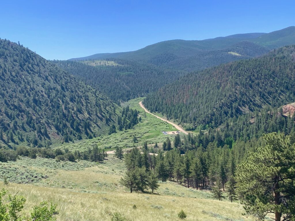
The Shirley townsite. Being the Fourth of July weekend, the parking lot was nearly full of campers and trucks with trailers hauling ATVs.
The familiar sign marking the start of the long climb up Marshall Pass.
Looking back down at the parking area from the start of Marshall Pass.
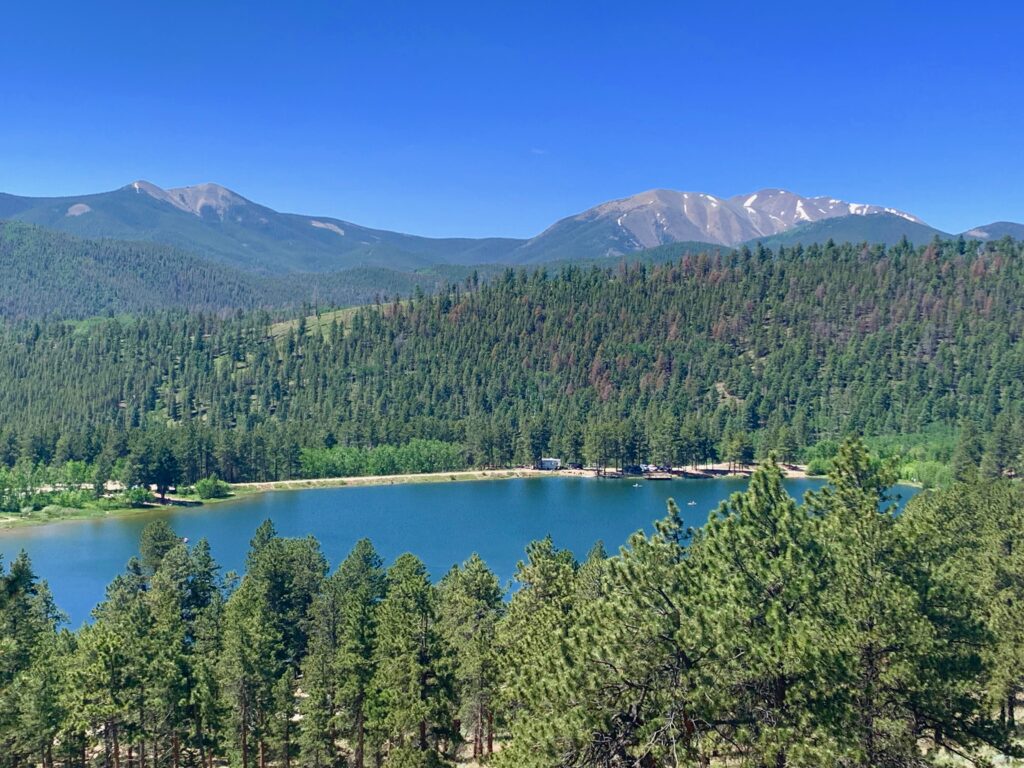
O’Haver Lake being its lovely self.
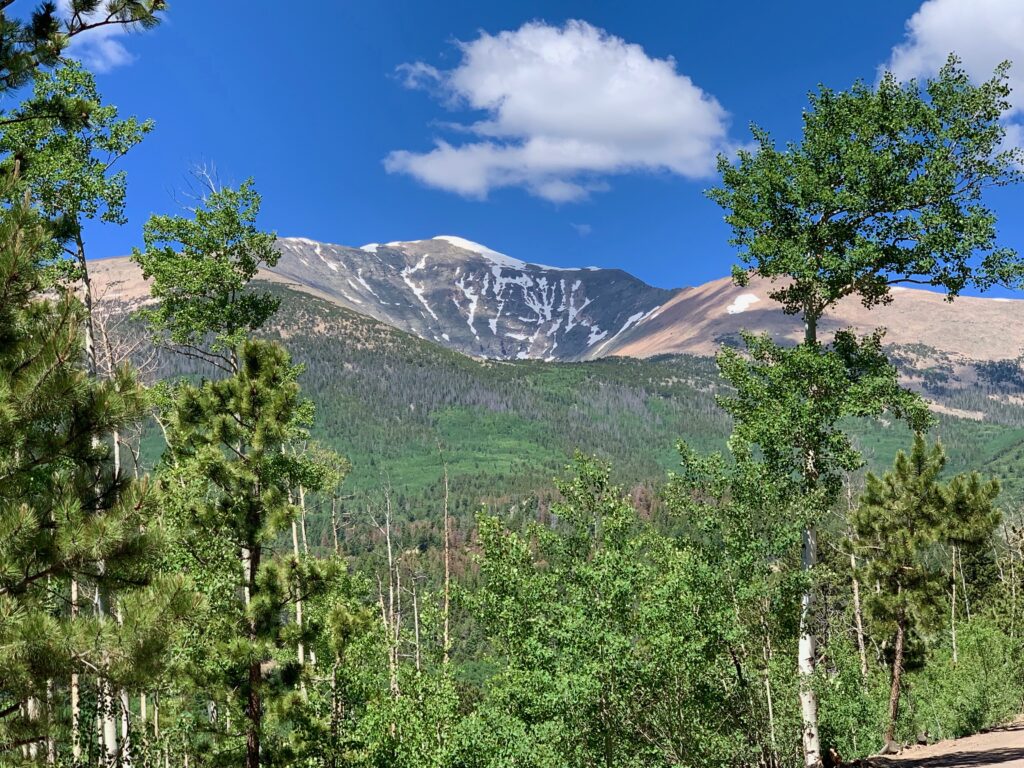
Still a fair amount of snow on the upper slopes of Mount Ouray.
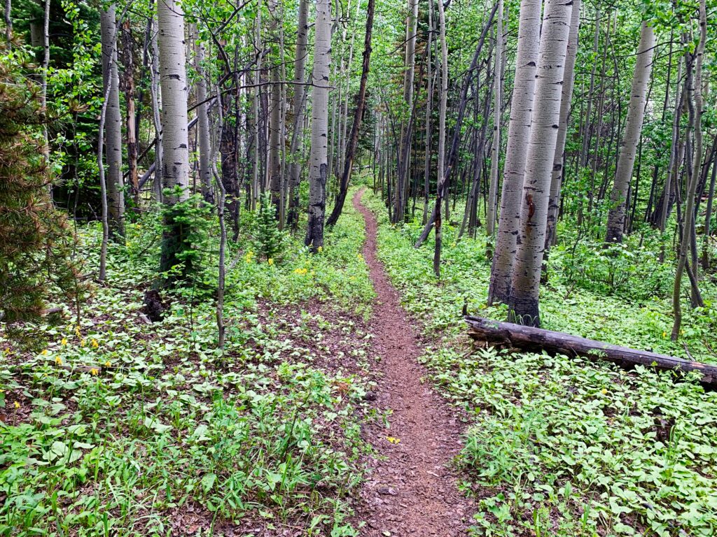
Dappled light through one of many aspen groves on the way up.
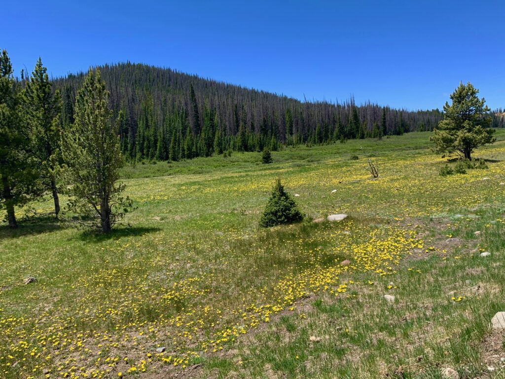
Field of yellow wildflowers. I stopped to take a picture only to look down and notice that they were all dandelions. If they’re on the side of a mountain at 10,800 feet, are they weeds or wildflowers? I don’t know the answer, but they sure looked nice against the bright green grass in this meadow.
Last remnant of winter at the top of Marshall Pass.

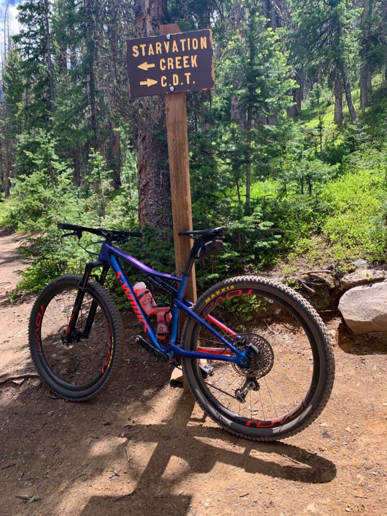
Leaving the road, starting the Colorado Trail.


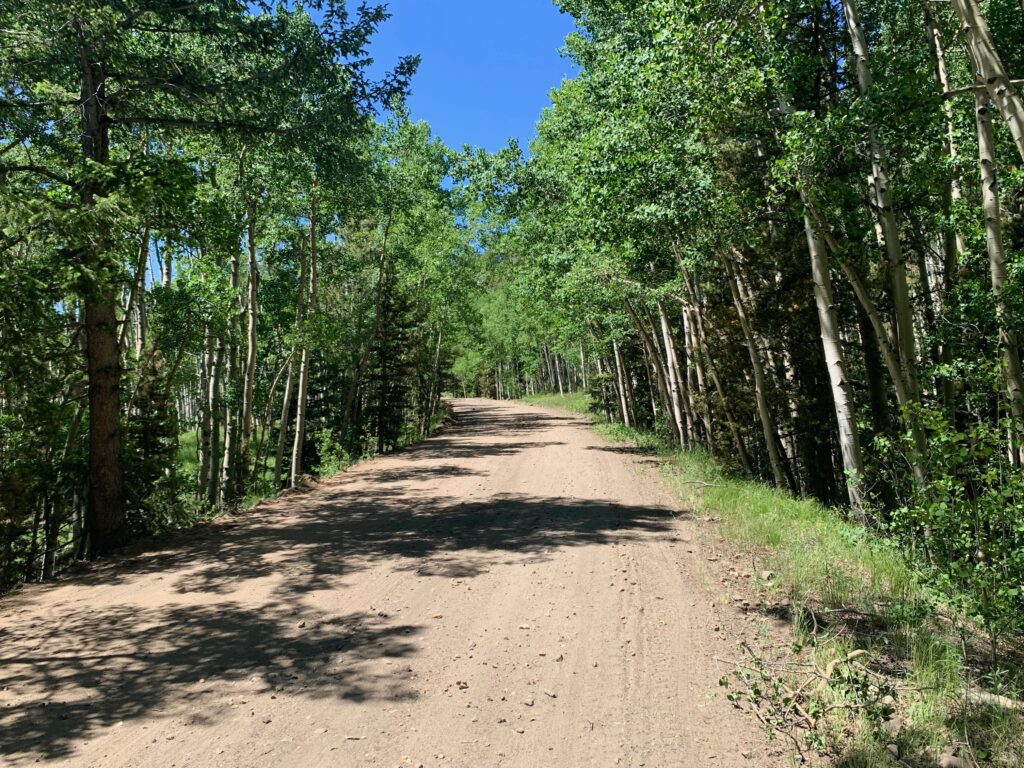
Smooth like butta.
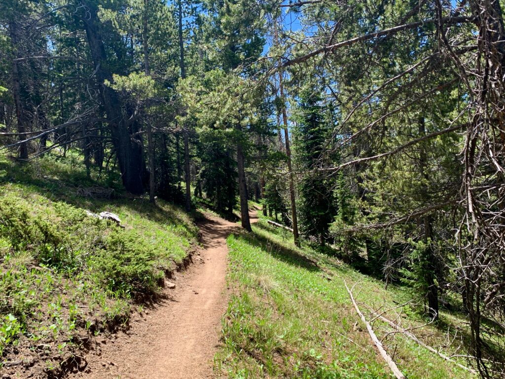
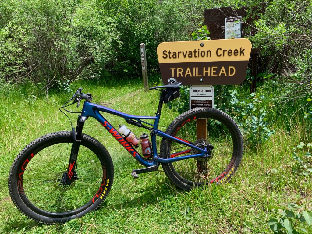
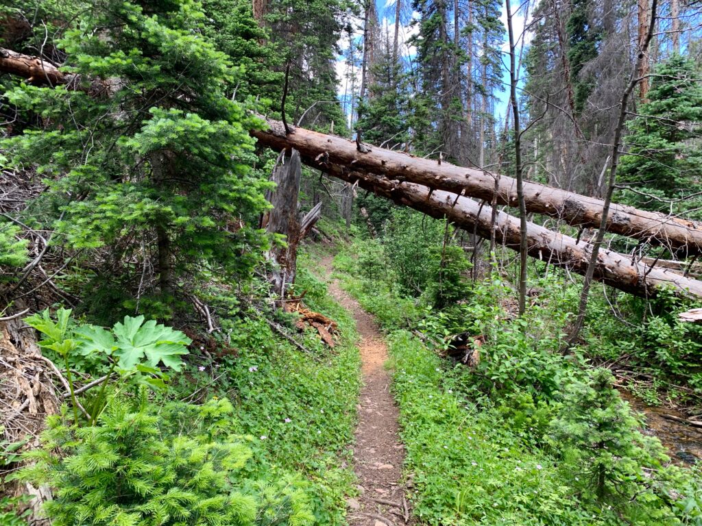
Start of the Starvation Creek trail.
Not today creek! I’ve got food. Or at least a food-adjacent Clif Bar.

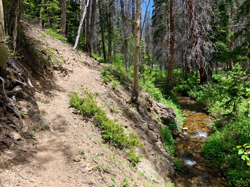
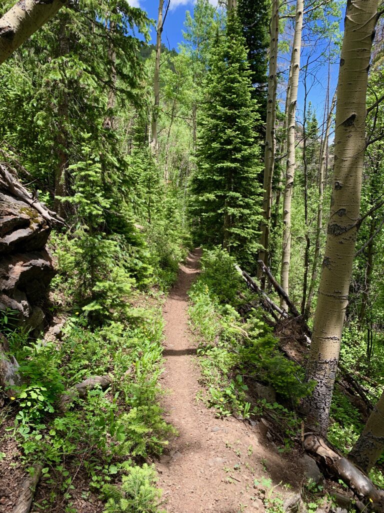
The first thing I noticed about the Starvation Creek trail is that it’s narrow. Real, old-school single track. Maybe 10-12 inches wide and no shoulder. I assume this is because it gets less traffic than the more popular Colorado or Continental Divide trails. And no motorized traffic at all. It brought me back to when I started mountain biking in the 1990s. I’d pick some random trail in the woods that in all likelihood had never seen a set of tires to ride. Super fun, but requiring a heightened sense of attentiveness and presence.


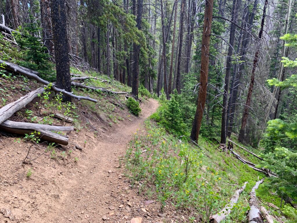
The trail climbs for a short section and then begins its descent down to the creek, gradually steepening. There were a lot of beetle kill trees in this area but the wet winter we had just had made all the undergrowth lush and green.

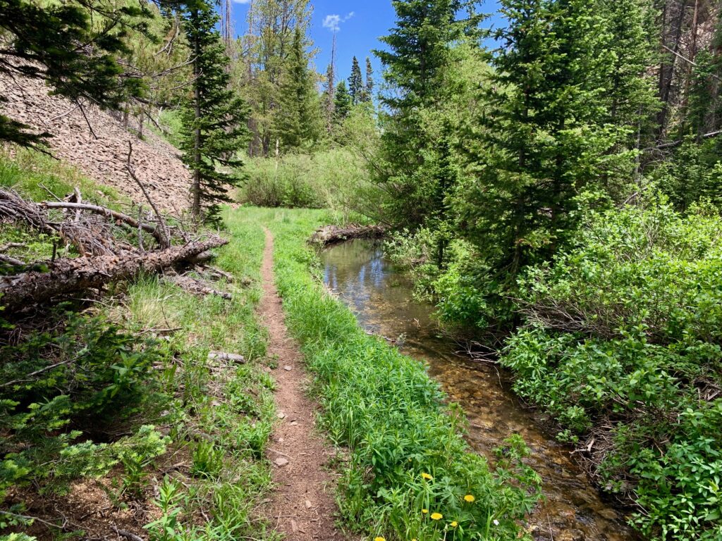
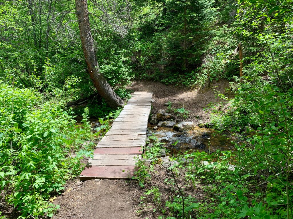
Down at the creek the foliage was unbelievably thick and green. It reminded me of trails I’d ridden in northern California.
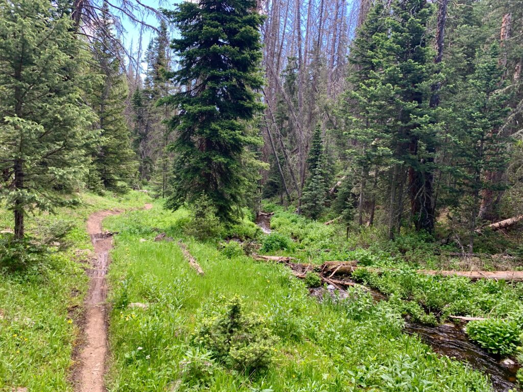
In places the trail was just feet from the creek.
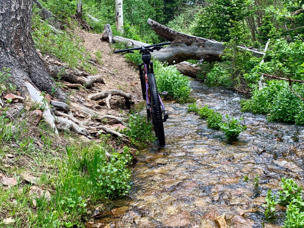
And sometimes, it actually dipped into the water.
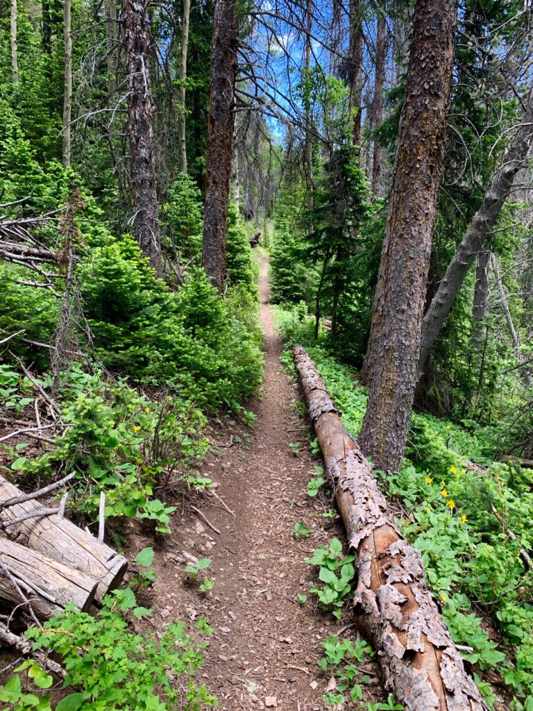
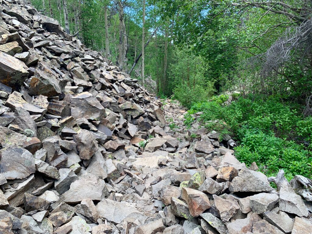
There were a few chunky sections.
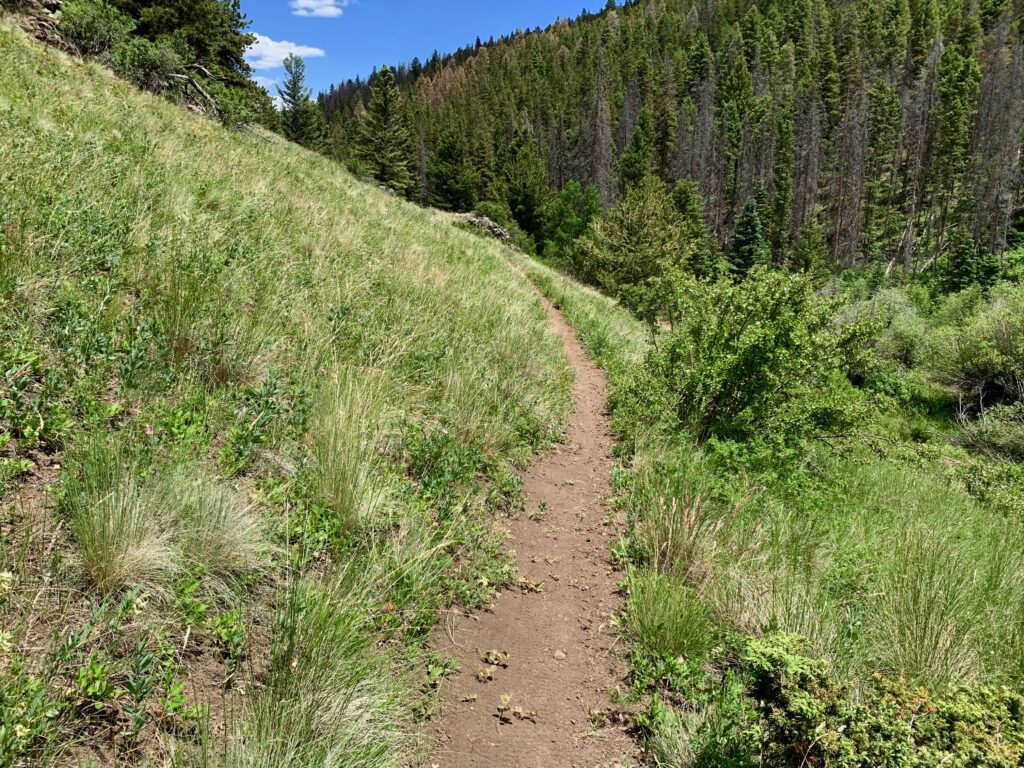
But for the most part, the trail was smooth, fast and flowy.


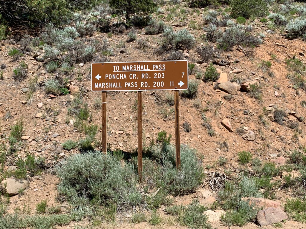
After five miles of grin-inducing descending, at the point where Starvation Creek flows into Poncha Creek, the trail pops out onto County Road 203. This is the same road I tried to ride up last November, but was blocked due to ice.

It didn’t take long to see why there was so much ice back then. In one section, Poncha Creek takes a left and flows right down road.

The water isn’t deep but it flows down the road for a good 100 yards. Just as I was about to start my crossing, a guy in a 4-Runner came splashing upstream from around the corner. Glad we didn’t meet mid-way across because at this point the road is only one vehicle wide. I would have had to put a foot down to let him pass, leaving me with wet socks for the ride home.
It was a fast descent down County Road 203 back to the Shirley Site. I passed several snarls of ATVs along the way. Tourists getting a late start. From there it was an easy spin down the last couple miles of Marshall Pass and a flying descent on pavement down Poncha Pass to Salida.
It turned out to be a great ride. It’s always fun exploring new areas. To increase my trail-to-road ratio, I think the next time I’ll park at the Shirley Site like a normal person. This would also give me the option to venture farther afield on surrounding trails.
I’ll also keep it in mind as a fun variation for the Monarch Crest ride. Starvation Creek is at least as entertaining as the standard descent down the Silver Creek trail, one drainage to the south. And while it replaces the last section on the Rainbow Trail with dirt road, sections of the Rainbow Trail have become so rough in recent years that it’s become more of an endurance test than anything I’d call fun. County Road 203 with it’s fast, rolling downhill and creek crossings isn’t a bad option.