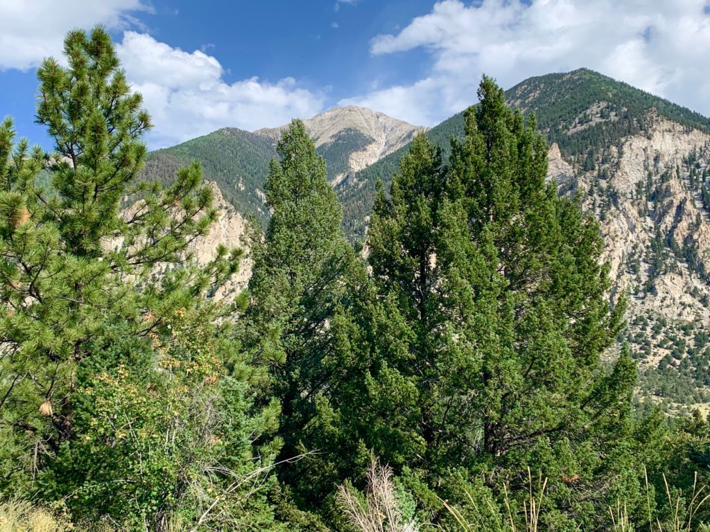
Continuing with my plan to work out a loop linking the Colorado Trail and the Continental Divide Trail I set out to test ride another segment this week. This time around I started where I left off here, at the narrow-gauge railroad grade above Mt. Princeton Hot Springs.
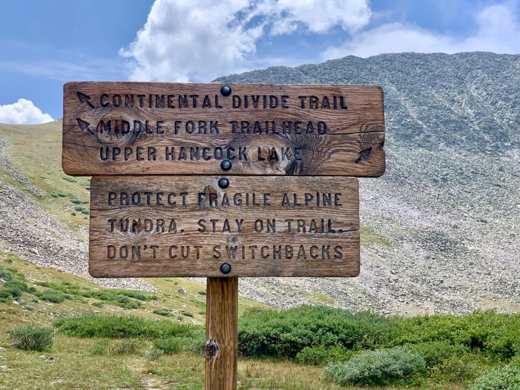
I’m actually familiar with much of this section because most of it is on County Road 162, which we’ve driven many times to see the ghost towns of St. Elmo and Hancock. I had also ridden it several years ago as part of a loop up the historic Alpine Tunnel trail, which is accessed from the same area. But to create my CT/CDT loop I wanted to check out an area that is new to me, the section of the CDT south from Hancock up Chalk Creek Pass, a high alpine non-vehicular pass above Hancock Lake.
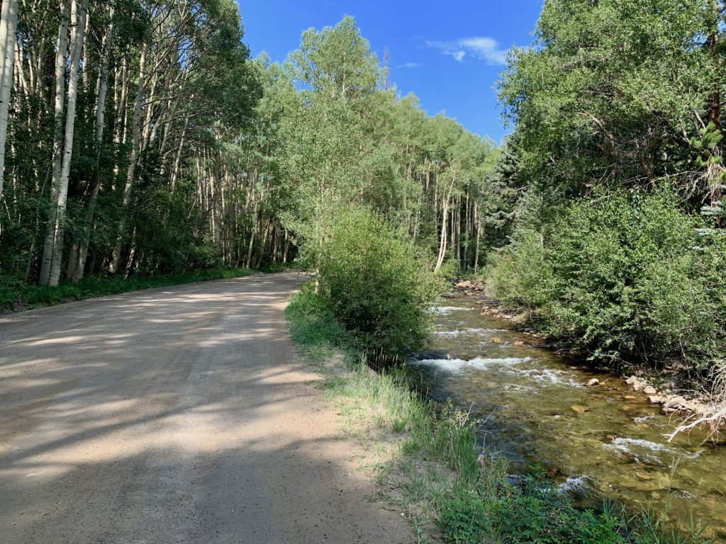
Starting out on the Mt Princeton Hot Springs railroad grade heading west, the trail drops you out near the end of the paved section of County Road 162 at the top of the Chalk Creek cascade.
From there it’s a 6.5 mile spin on gravel up to St. Elmo. CR 162 was actually built on a continuation of the same railroad grade that I started on. Well maintained and shady, with just enough up to let you know you’re climbing but consistent enough that you can maintain a good pace without redlining yourself. A delight to ride. Oh, and you’ve got Chalk Creek splashing along on your right the whole way up providing a nice soundtrack.
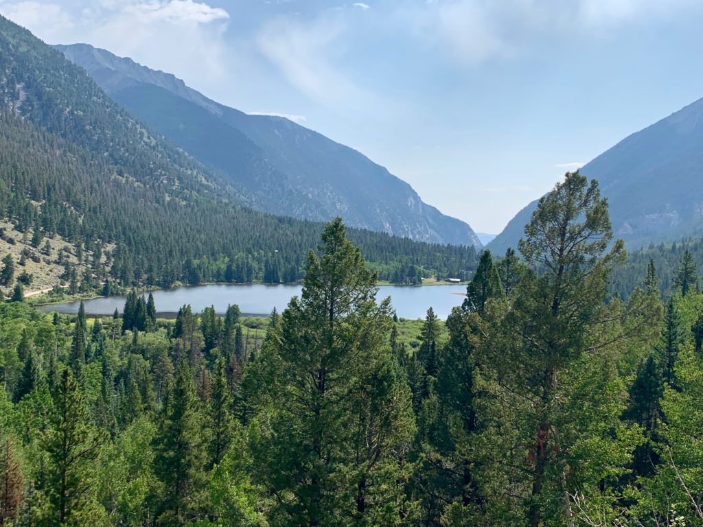
Alpine lake and the tiny village of Alpine.
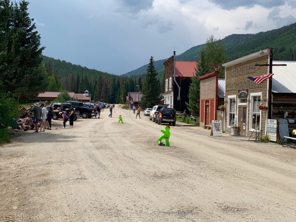
St. Elmo, as usual, lousy with tourists.
From St. Elmo to Hancock the road is still considered 2WD but is noticeably more, uh rustic. Funny, one summer a few years ago we drove a rental car up here and I wasn’t all that worried about the potholes!

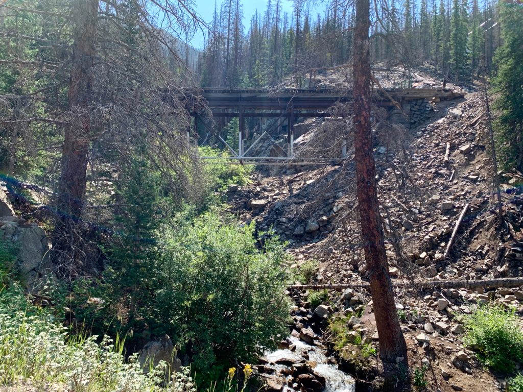
Abandoned railroad trestle. Due to a visible lack of structural integrity, the road was diverted below it many years ago.
This old mining structure has been falling down for something like 150 years. It hasn’t completely collapsed into the road, but any day now.

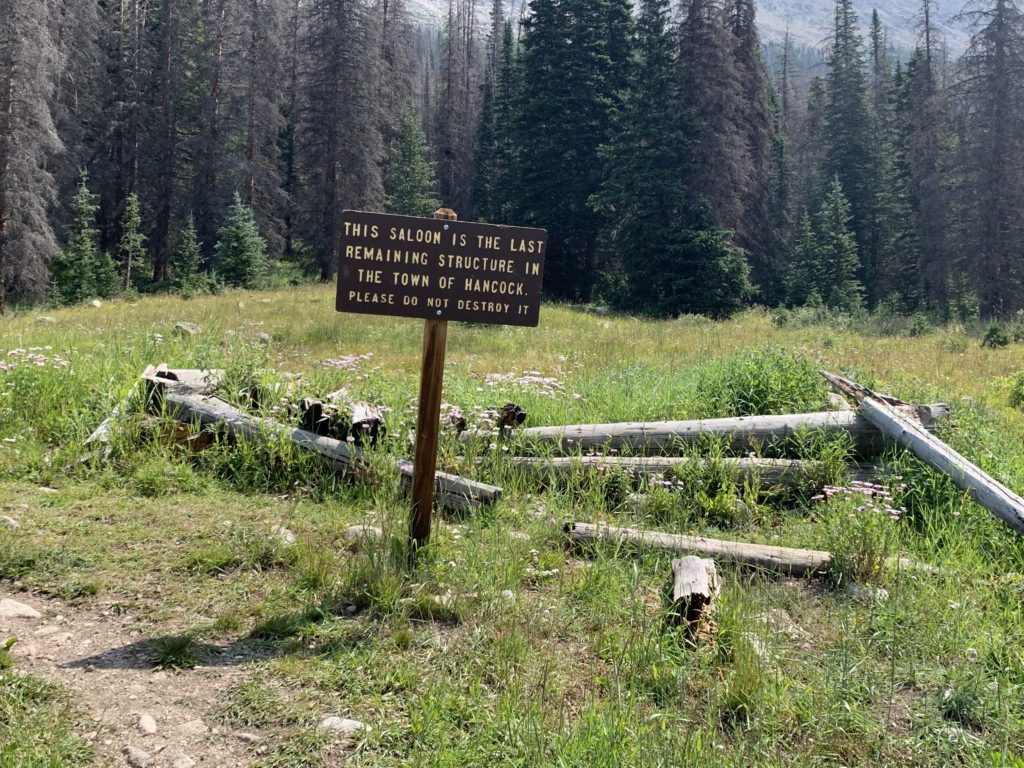
In terms of ghost towns, there isn’t a whole lot to see in Hancock any more. The people are gone, the buildings – with the exception of a few logs belonging to the old saloon – are gone, I suspect even the ghosts are gone. Still an interesting piece of history though.
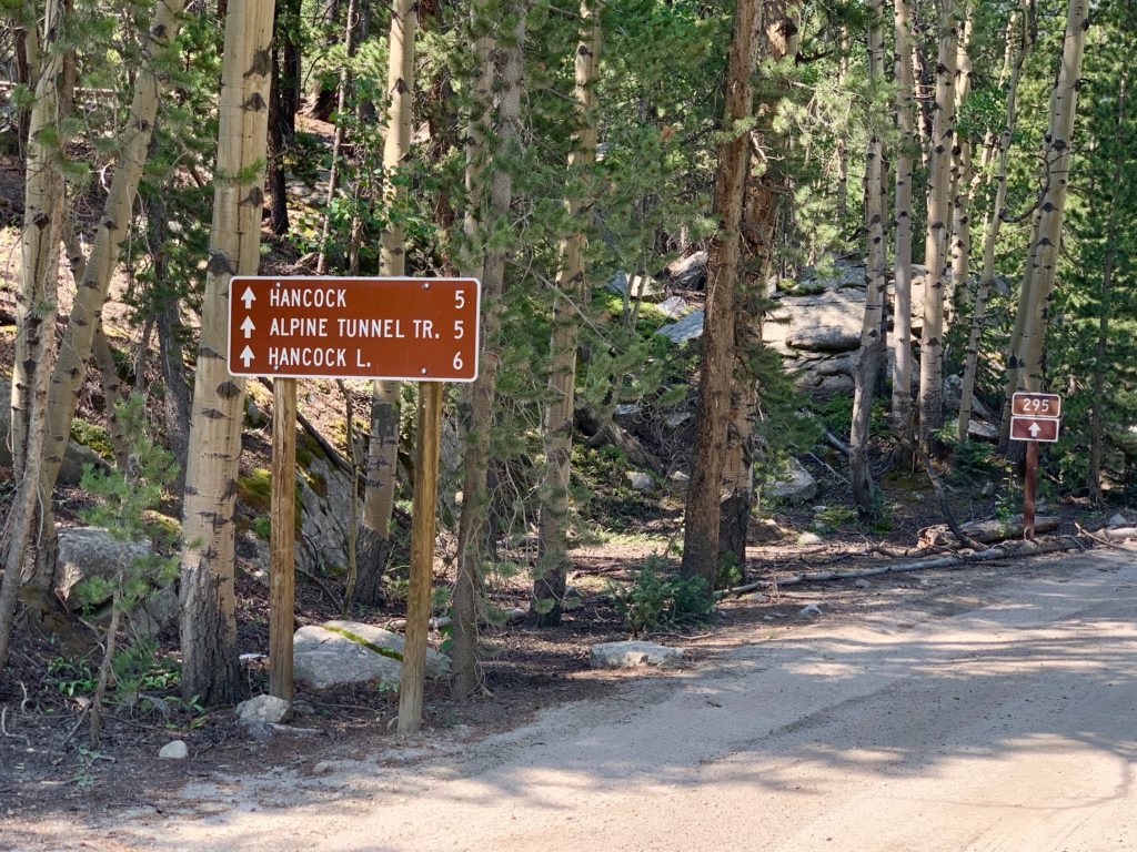
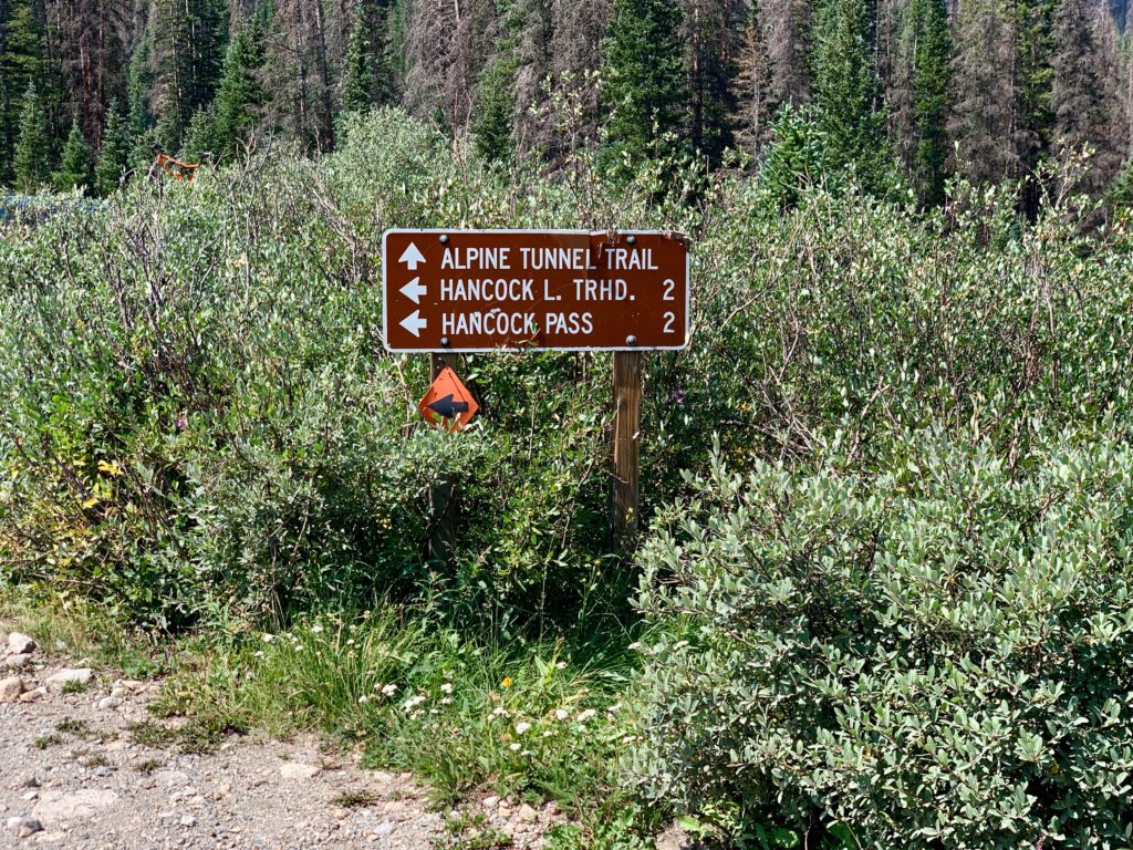
The CDT runs through Hancock from north to south. The section just north of town is the Alpine Tunnel trail. My objective for the day was south on the road to Hancock Pass. Unfortunate, because the Alpine Tunnel Trail is another smooth, gradual, scenic climb…
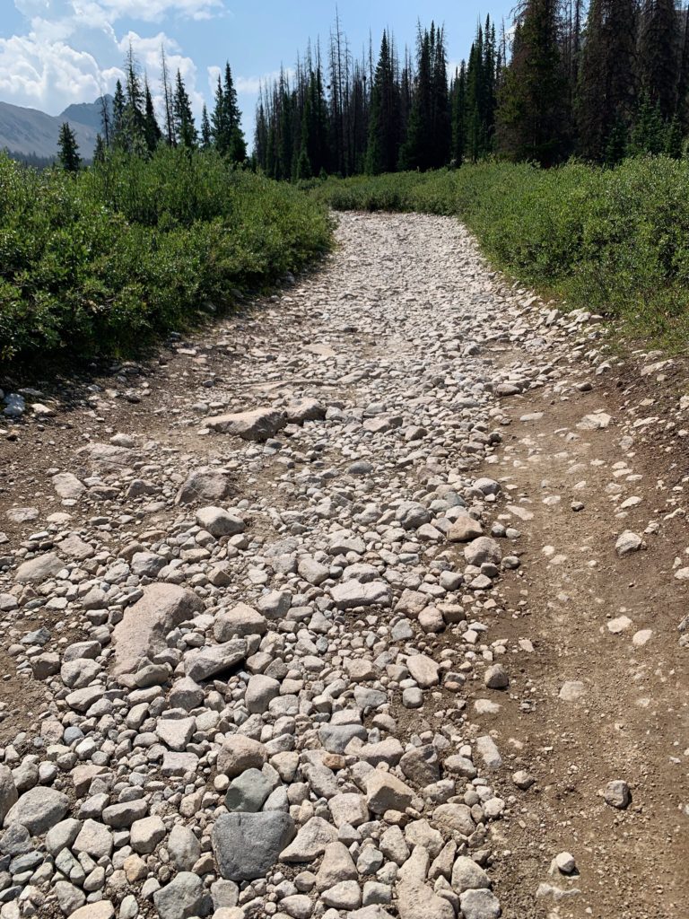
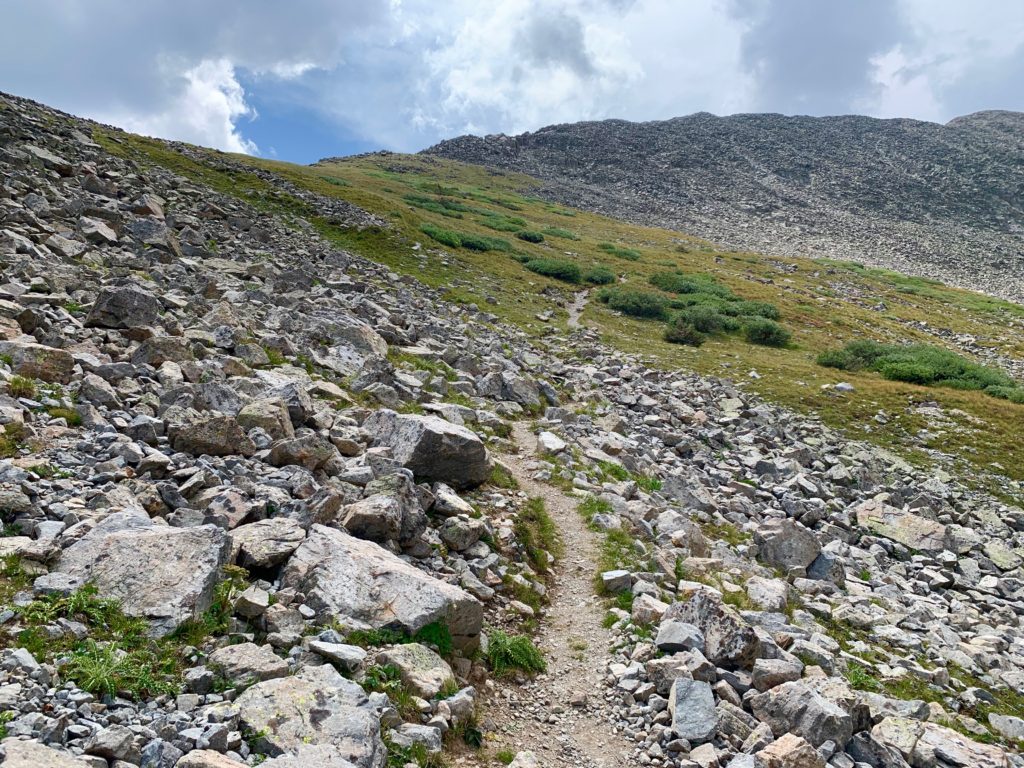
…while the Hancock Pass road is two miles of baby-head rock hell. Generally rideable but unpleasant with several steep sections requiring hike-a-bike.
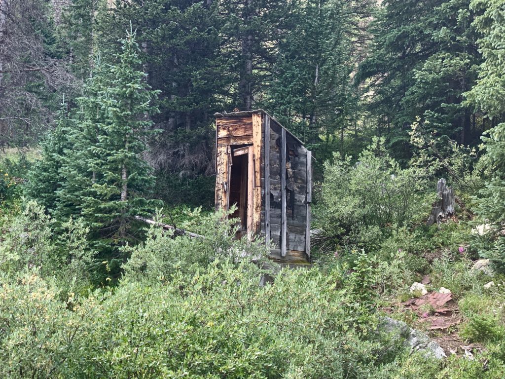
Vintage 1800 something something outhouse, still standing.
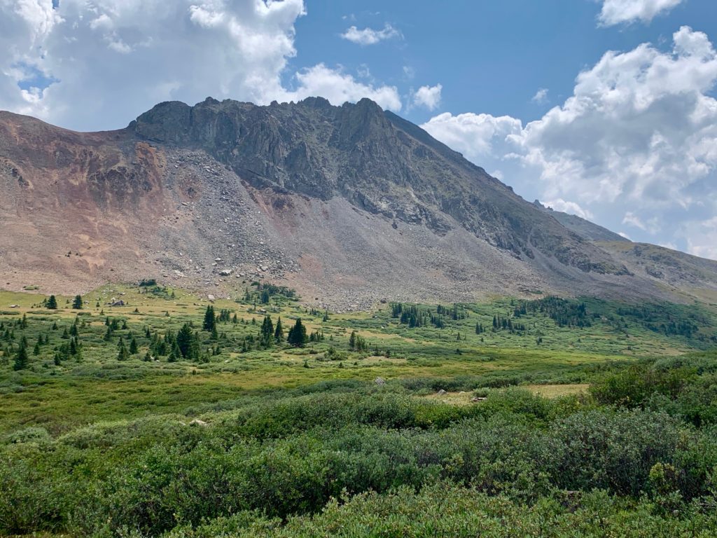
Rugged Sewanee Peak
Just before Hancock Lake the road ends and there is a small parking area, which was full of ATVs and ATV people when I rolled up. From there, the CDT turns back to single track to make its way to Hancock Lake and over Chalk Creek Pass. I said hello as I rolled past the ATV people, who had reached the end of their road.
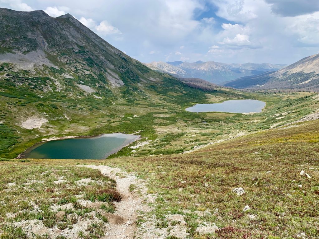
The CDT and Hancock Lake. The low point in the ridge behind the sign is Chalk Creek Pass.

Closer look at the pass

Upper Hancock Lake only comes into view as you start climbing the pass.

On the pass headwall. Yep, hike-a-bike, all the way to the top.
Upper Hancock Lake and Hancock Lake from near the top of the pass.
The rugged west face of Peak 13,147

At the top of Chalk Creek Pass, 12,146 ft, according to my Garmin. That’s the north face of Mt. Aetna on the left and Mt. Ouray in the distance.

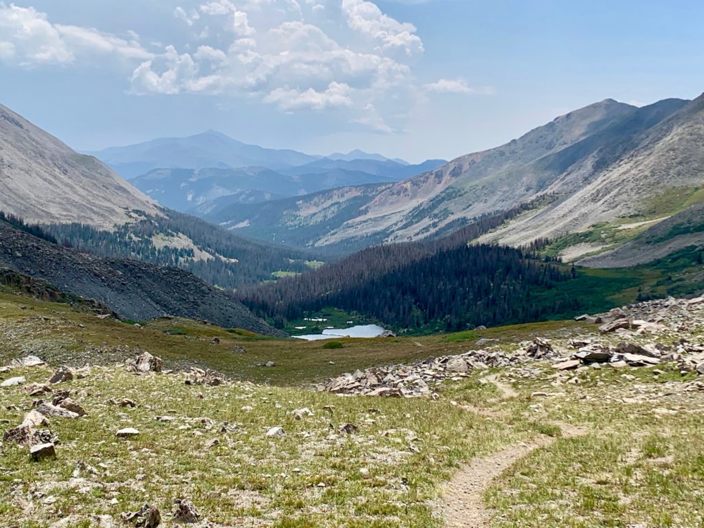
Looking over the edge down Middle Fork. The rest of my CT/CDT loop awaits.
The 17 miles from Mt. Princeton to the top of Chalk Creek Pass involved 3,600 feet of climbing and took me three hours. Combined with my earlier recon section that’s a total of about 33 miles and 5.5 hours of riding, which I estimate is half the distance and slightly more than half of the time to do the smaller of the two loops I’m considering. Note to self: bring snacks.
It was a chilly 55 degrees and windy at the top of the pass. I could feel the weather starting to change. Fortunately, once I picked my way back down the headwall (hike-a-bike down) the rest of the ride was a screaming downhill all the way back to the car. The three-hour ride up took me an hour to descend. Talk about fun. Flying down CR 162 I passed multiple cars of tourists slowly picking their way down the road from St. Elmo. There are few things in life more satisfying than passing cars on your bike. ON YOUR LEFT!
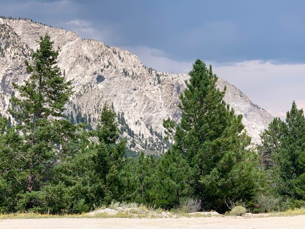
Back at the car, dark clouds were starting to roll in over Mt. Princeton’s Chalk Cliffs. I managed to get the bike loaded on the rack and started home just as the sky opened up and my phone shrieked to life with a flash flood warning for the area. I think that was about enough riding for one day!