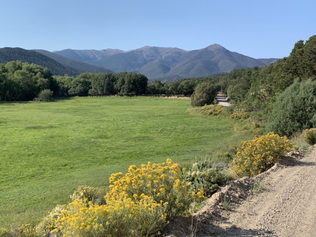
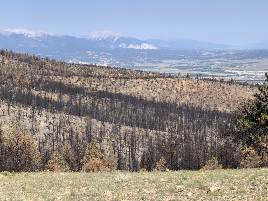
Our house is on Methodist mountain, the northern most peak in the Sangre de Cristo range. Methodist is more of a big green lump than something spectacular like the Sawatch range across the valley or the Sangres further south. Most of the peaks around here are named after Native American chiefs or ivy league colleges so I was curious how Methodist got its name. I did some research (ok, I Googled for 30 minutes) but didn’t turn up anything definitive on the name origin. I like to think that it had something to do with Methodist pioneers who lived in the area performing long-forgotten rituals in the woods, druid pot luck dinners, bingo games and such. But I digress.
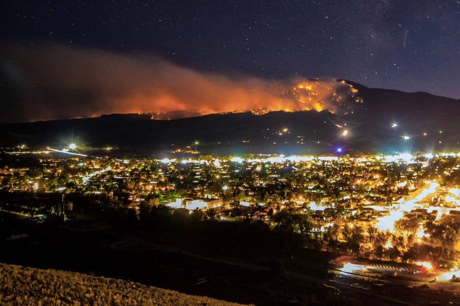
In September 2019 a lightning strike on the south side of Methodist set off what became known as the Decker fire. The fire consumed the beetle-kill trees on the south side of the mountain, jumped the ridge and worked its way down the north side. It came within a mile of our newly adopted neighborhood before firefighters and a fortuitous snow storm put it out. As a result, the upper slopes of Methodist had remained closed to the public until just last month.
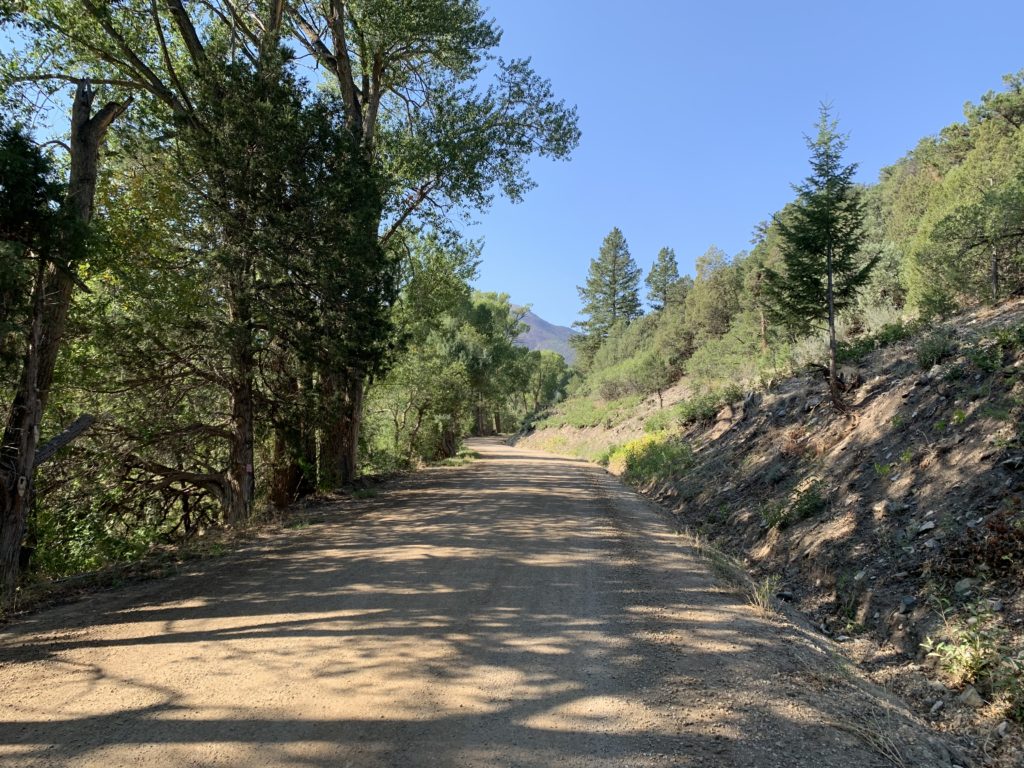
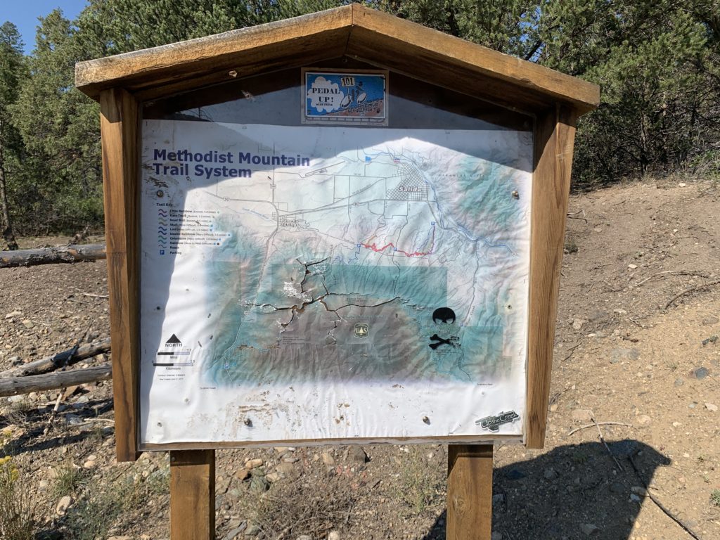
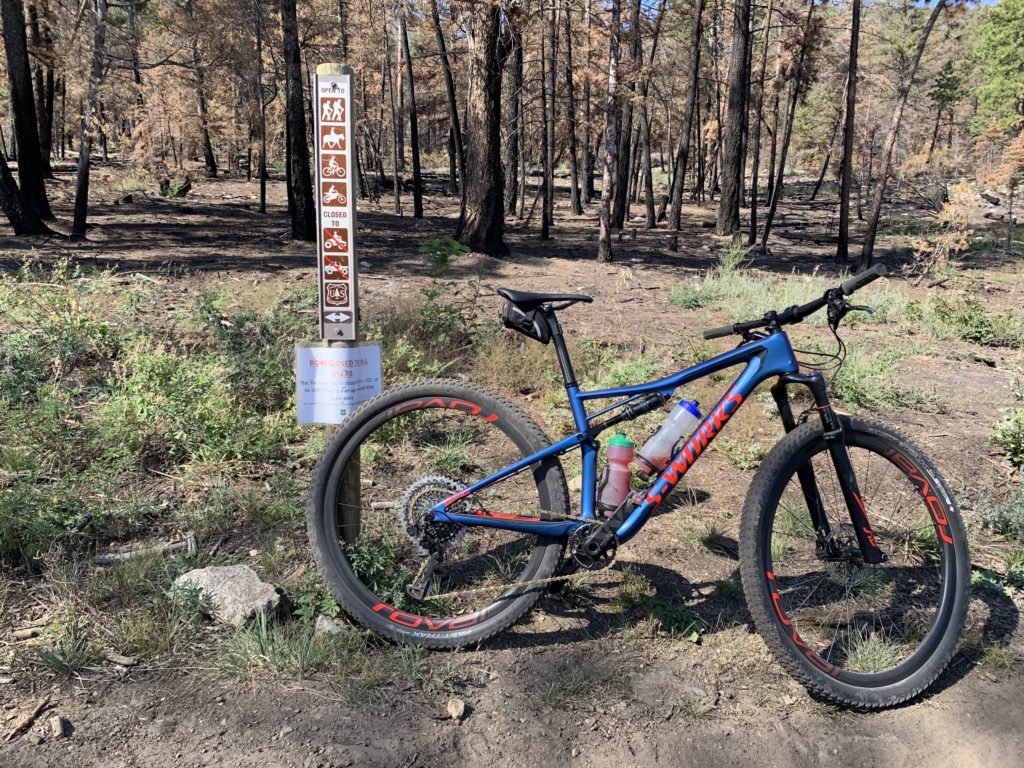
Included in that closure was the Rainbow trail. The Rainbow (not to be confused with the Little Rainbow) is a 100-mile point-to-point trail that runs from just west of Poncha Springs to south of Westcliffe along the Sangre de Cristo range. By combining a section of the Rainbow with some of the local trails and dirt roads it’s possible to string together a nice loop and still be home by dinner. I’d heard about the Rainbow Trail since I was a kid so I was eager to see what it was all about but I also had a morbid curiosity to witness the aftermath of a forest fire up close.


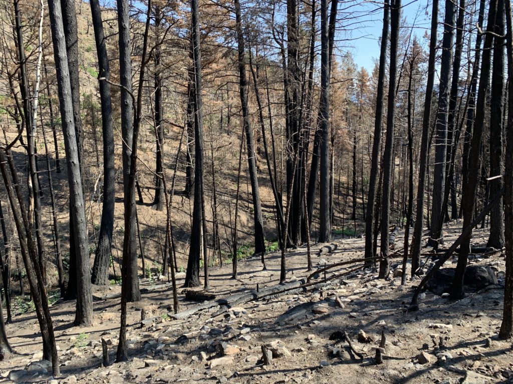
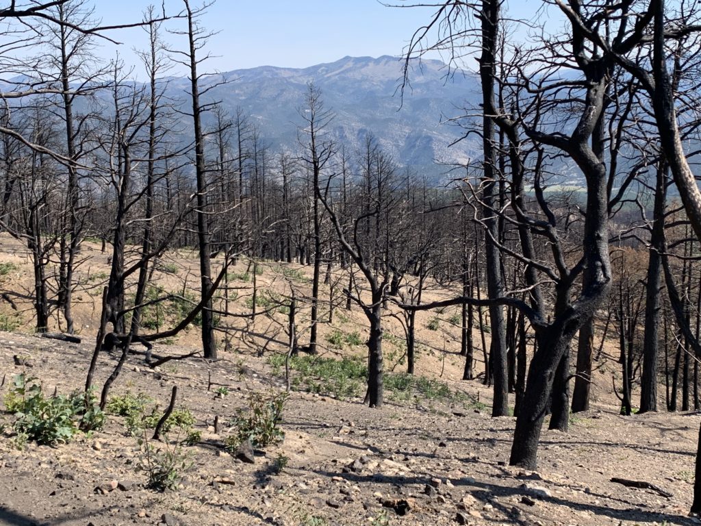

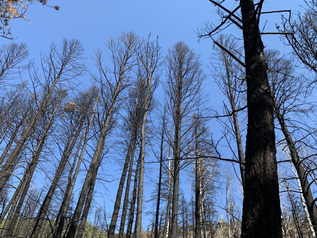
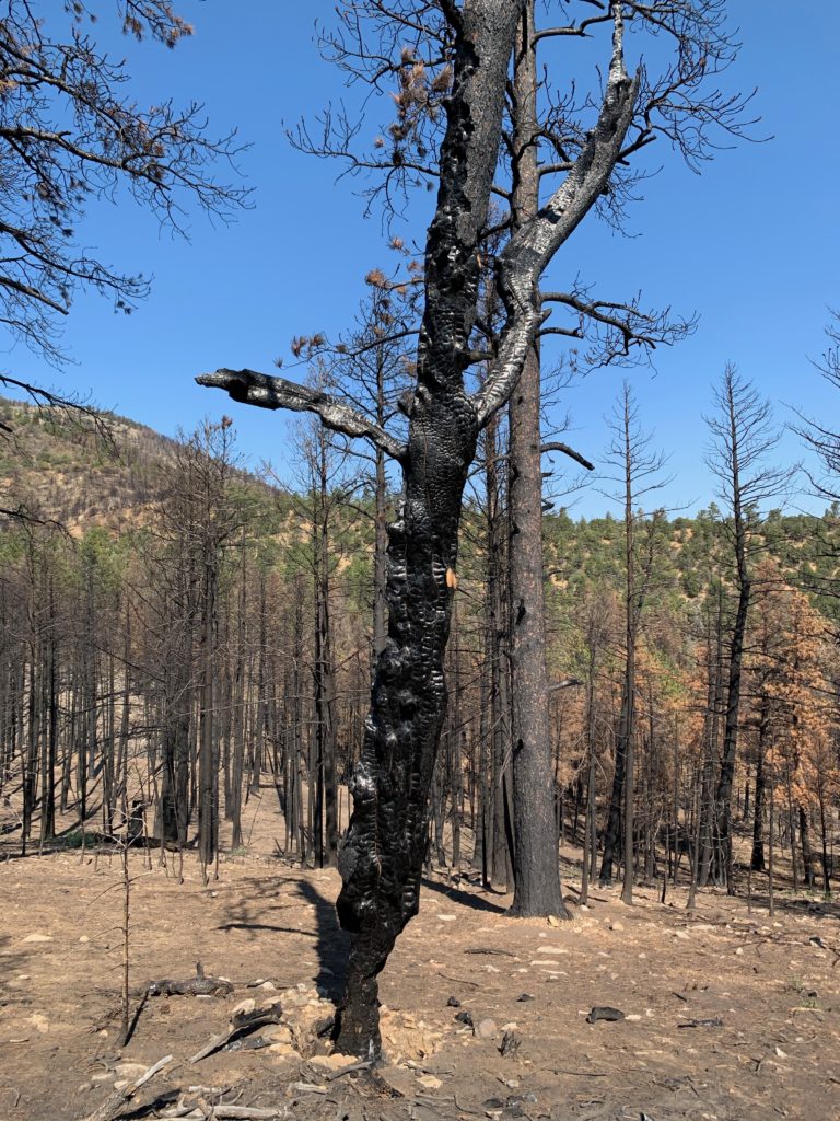
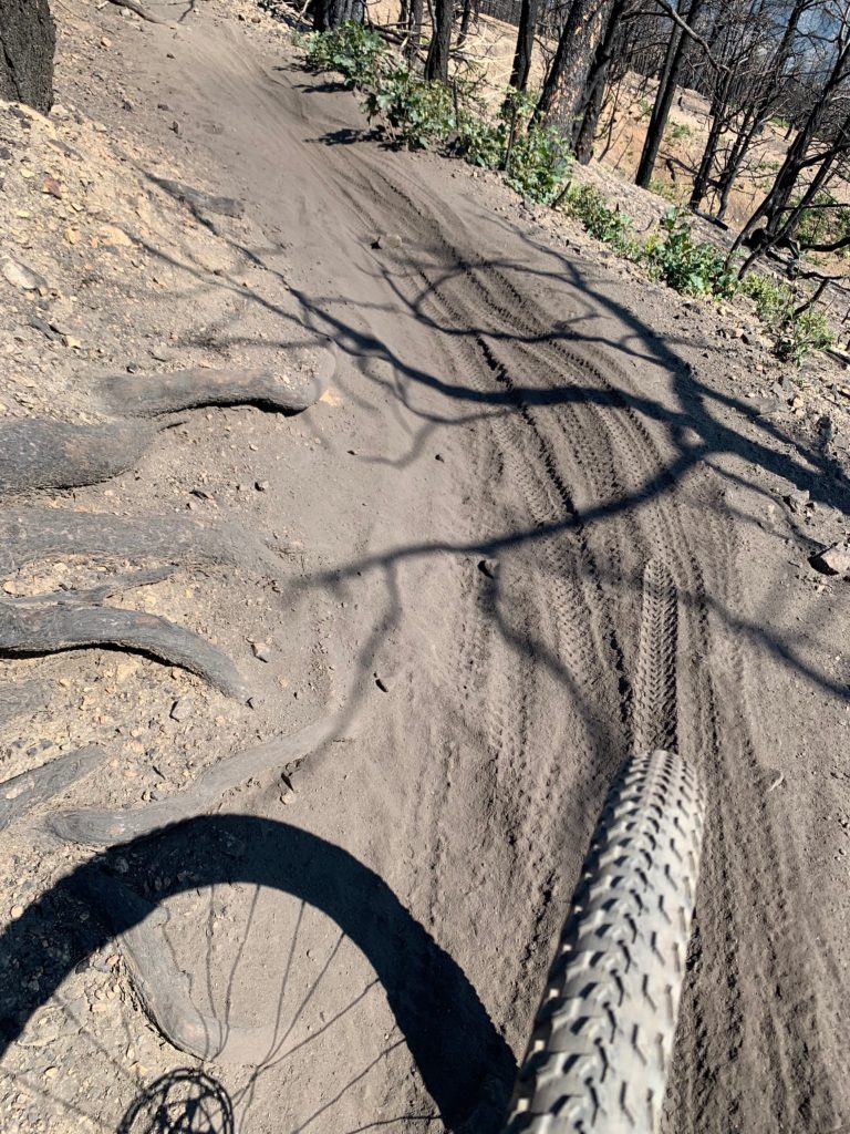
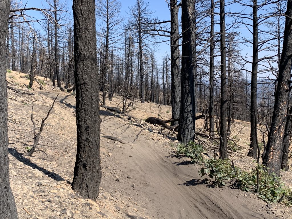
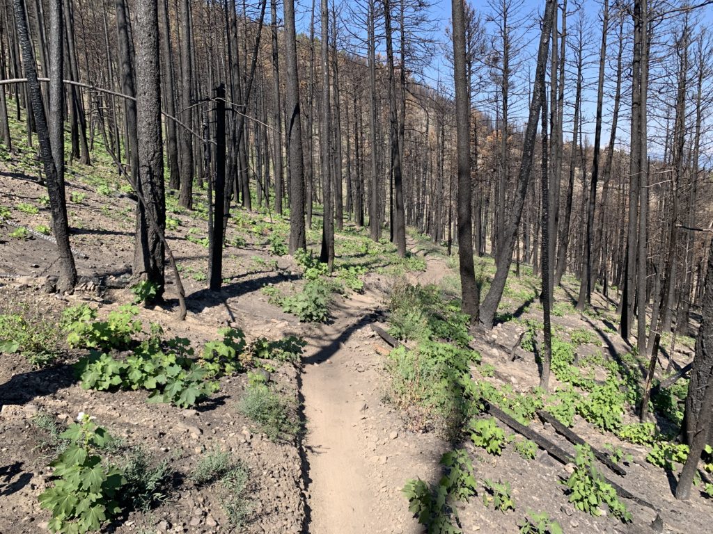

I know fire is part of the natural cycle and Methodist was way over due for a clearing of the old, dead trees but man it was deeply disturbing to ride through that devastation and think of all that was lost in terms of vegetation and wildlife. I don’t recommend doing it.