For some time now I’ve been trying to think of a way to do the Monarch Crest trail without a shuttle. That is, ride to the top of the pass from Salida and then ride the Crest trail in one big loop. But the logistics are daunting. The Crest is long enough on its own at approximately 36 miles, so to ride it from town you’re looking at least a 70-mile round trip and probably eight hours in the saddle.
The bigger problem though, is the entire climb up the pass would be on highway 50. Highway 50 is the second busiest east-west highway in Colorado after Interstate 70. Most of the road up Monarch Pass has little or no shoulder and there are numerous blind corners that would make riding it more than dangerous. It would be a suicide mission.
However…
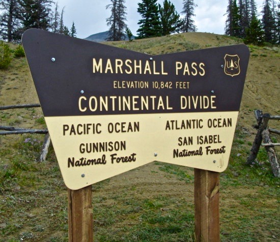
A few miles south of Monarch pass, the Crest trail intersects with a gravel road over Marshall Pass where it crosses the Continental Divide. It’s possible to create a loop by riding Marshall Pass up and the second half of the Crest trail down. This would eliminate the high-alpine sections of the Crest trail but would allow me to avoid becoming the hood ornament on a Dodge Ram on Highway 50 while providing access to the Colorado Trail, the Silver Creek trail and the Rainbow trail, all spectacular in their own right. I estimated it would be a highly doable 35-mile loop from the bottom of Marshall Pass. So, half of the Monarch Crest IMBA Epic, a Semi-Epic if you will.
Owing to the fact that it was originally a narrow-gauge railroad route, Marshall Pass is a gentle, steady climb all the way from highway 285 to the top of the pass. I had ridden part way up it back in September last year on another ride I talked about here. This time of year, it was beautiful.
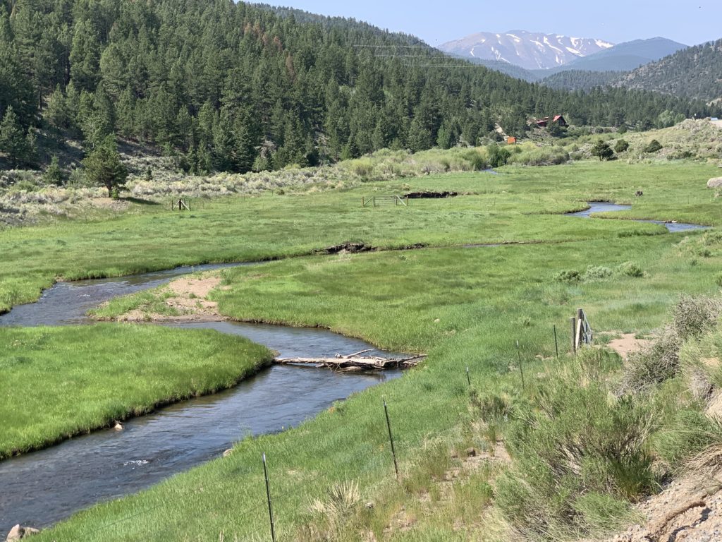
Poncha creek at Highway 285 and County Road 200, Marshall Pass road.
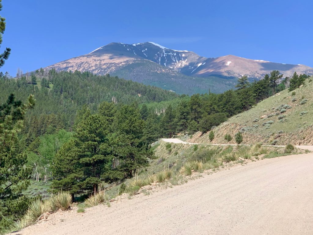
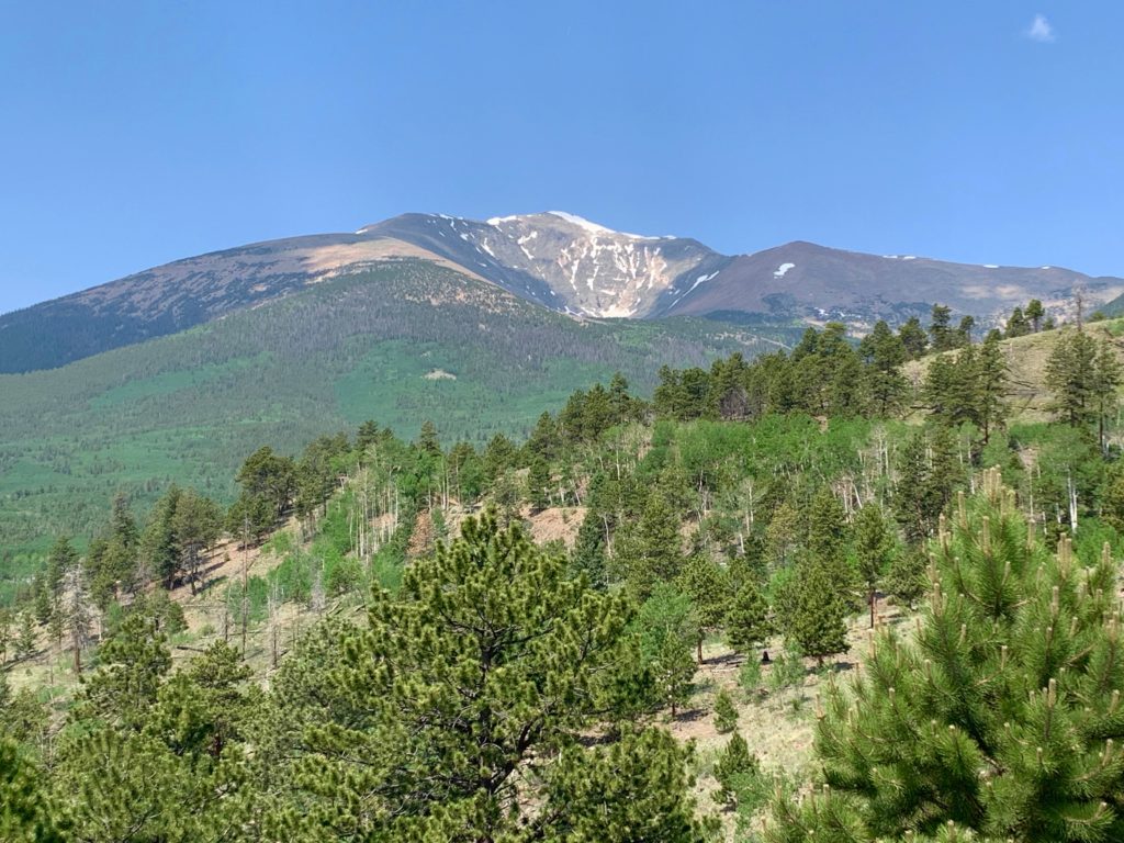
Mt. Ouray comes into view.
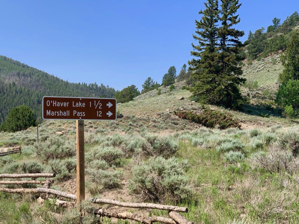
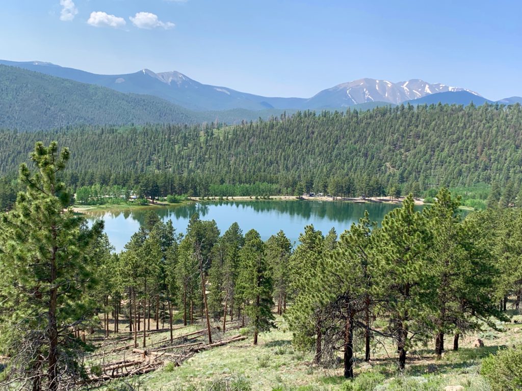
O’Haver Lake
Closer view of Mt. Ouray showing its huge east-facing cirque known as the Devil’s Armchair. Apparently old Beelzebub is a lot bigger than I was led to believe in Sunday school.
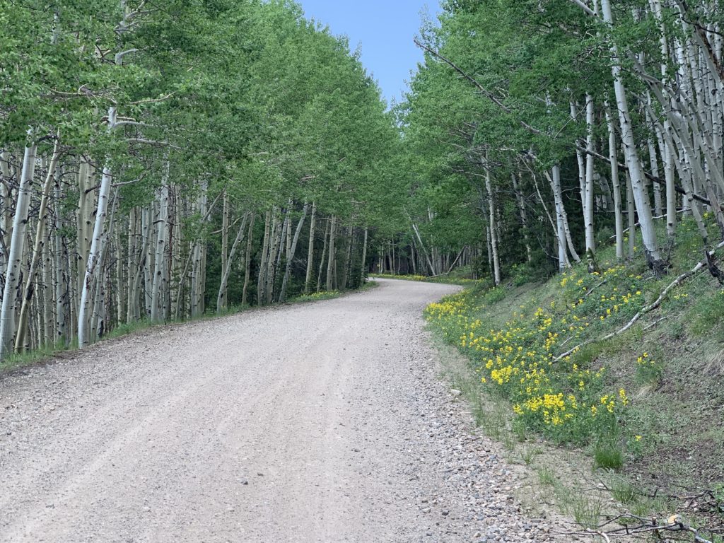
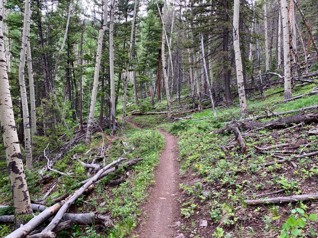
Aspen groves and flowers, flowers everywhere.

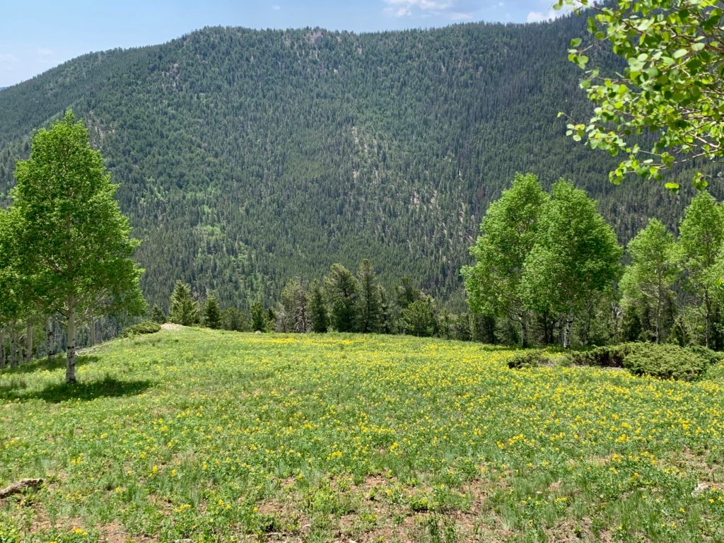
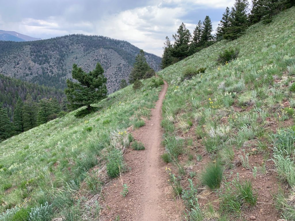
Near the top, the view opens up to a green, marshy meadow.

At the top.

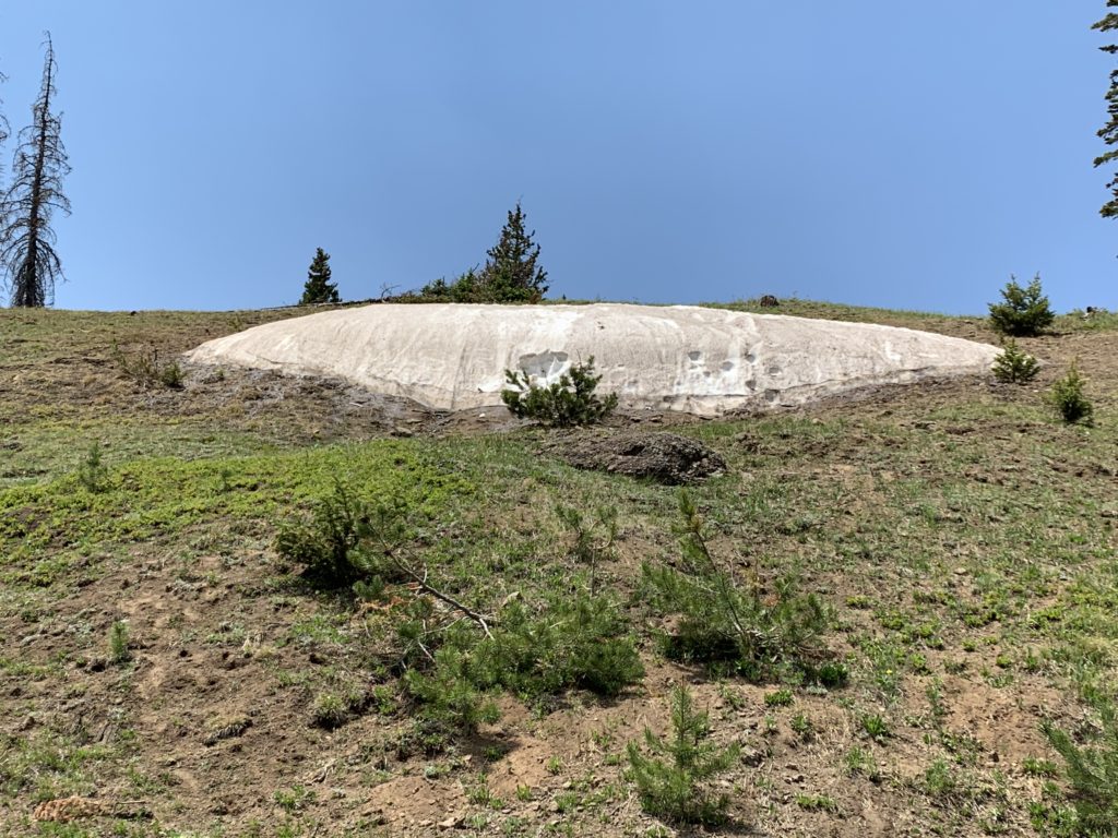
Last remaining snow drift.
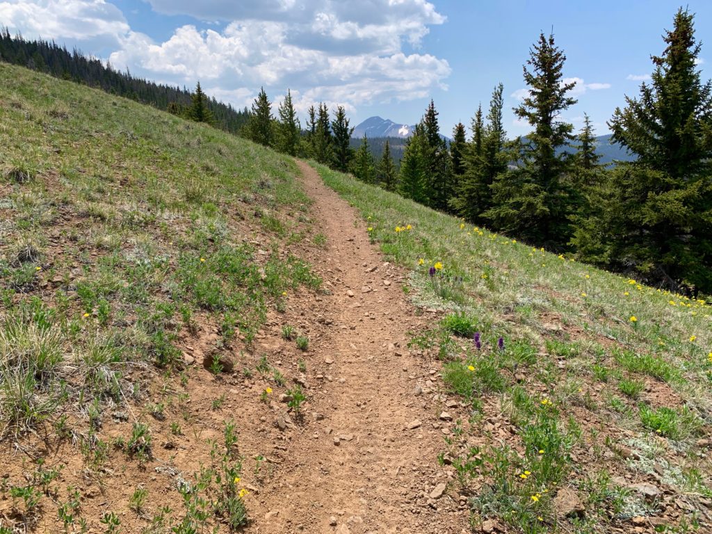
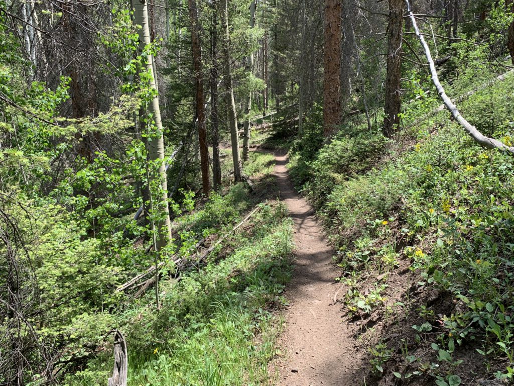
Single track at last. The start of the Colorado Trail.
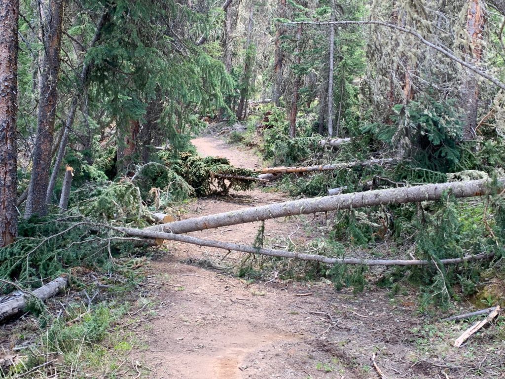
I was curious to see if the tree fall from last October was still blocking the trail. I had already decided if it was, there was no way I was going to spend another hour climbing through that wreckage. If the trail was blocked, I was going to detour around it via a jeep road that runs parallel to the CO trail for the first couple miles from the top of Marshall Pass. As I approached the area of the damage, there were still a few downed trees but I could tell that many more had recently been cut and moved off the trail. This photo was taken at the exact same spot as the one I took back in October, here.
I climbed over the first blockage and hesitantly got back on my bike. As I rode a little further, I heard voices up the trail. I came over a rise and saw a crew of seven forest service workers with hardhats, chainsaws and cans of gasoline coming toward me. They said they had cleared everything off the trail from that point forward and were working on the last few sections. I chatted with them for a few minutes, thanked them profusely for their work and continued on my way. Hug your local forest ranger.
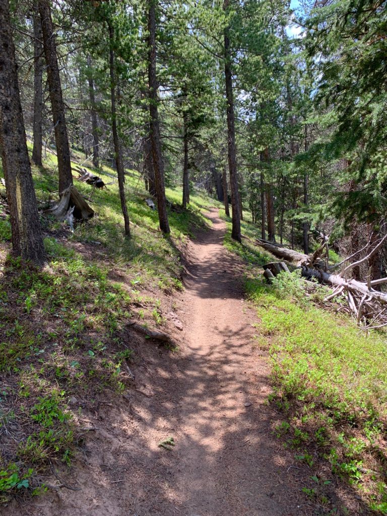
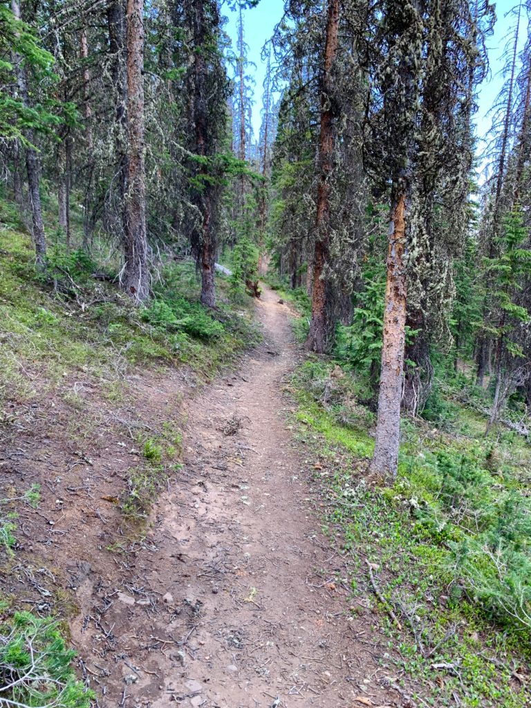
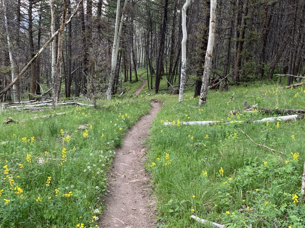
Freshly cleared trail.
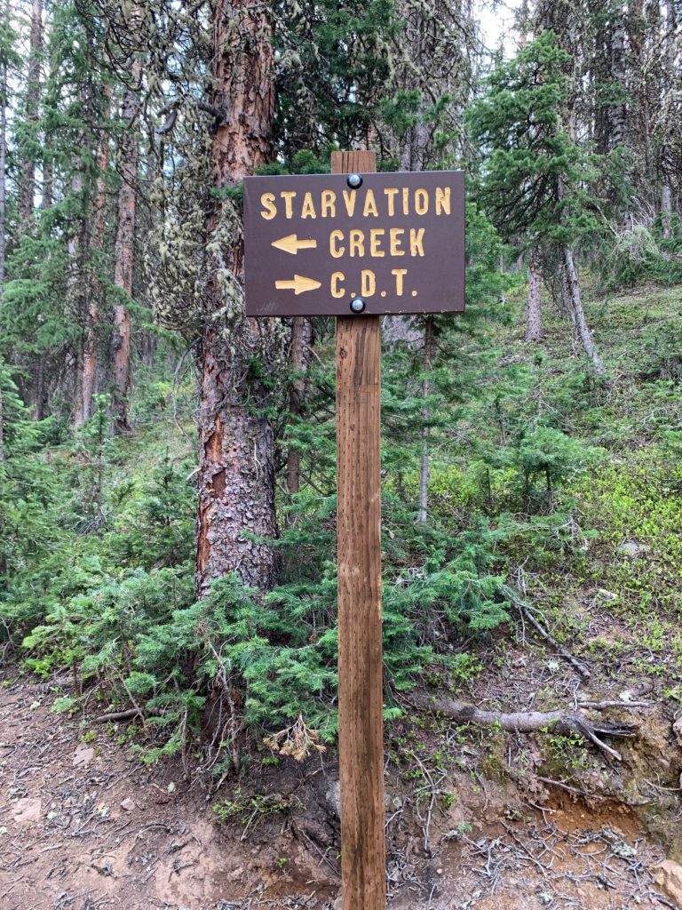
I don’t know the story behind Starvation Creek. Not sure I want to. Take a right here.
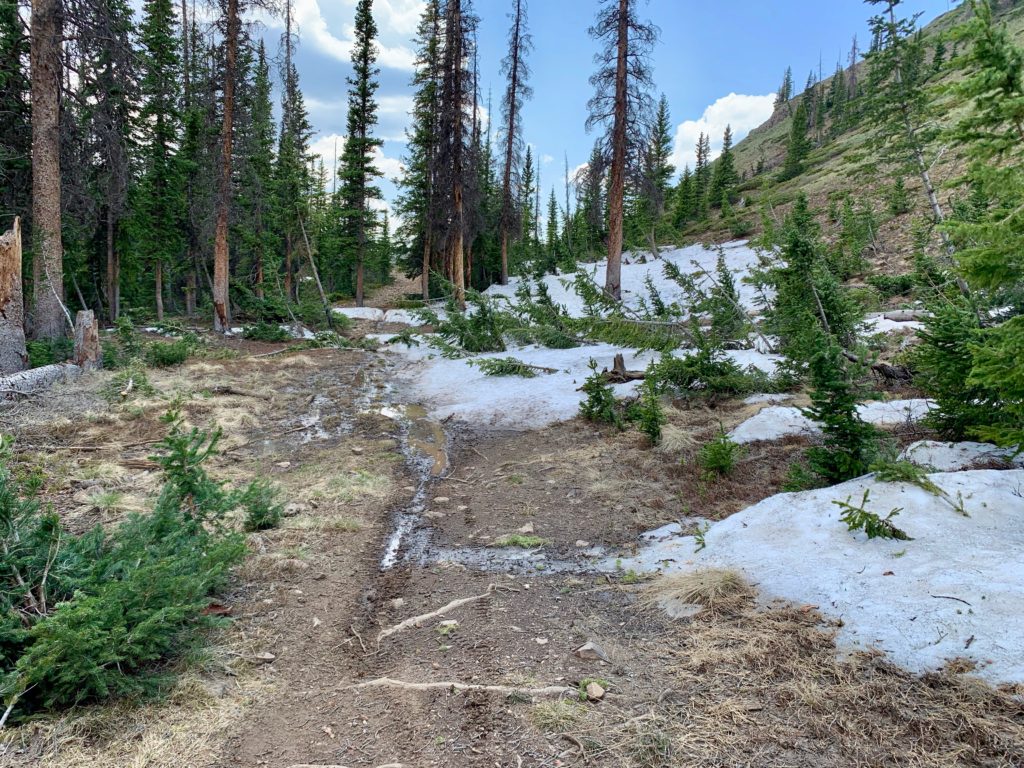
Last remaining snow on the Colorado Trail.
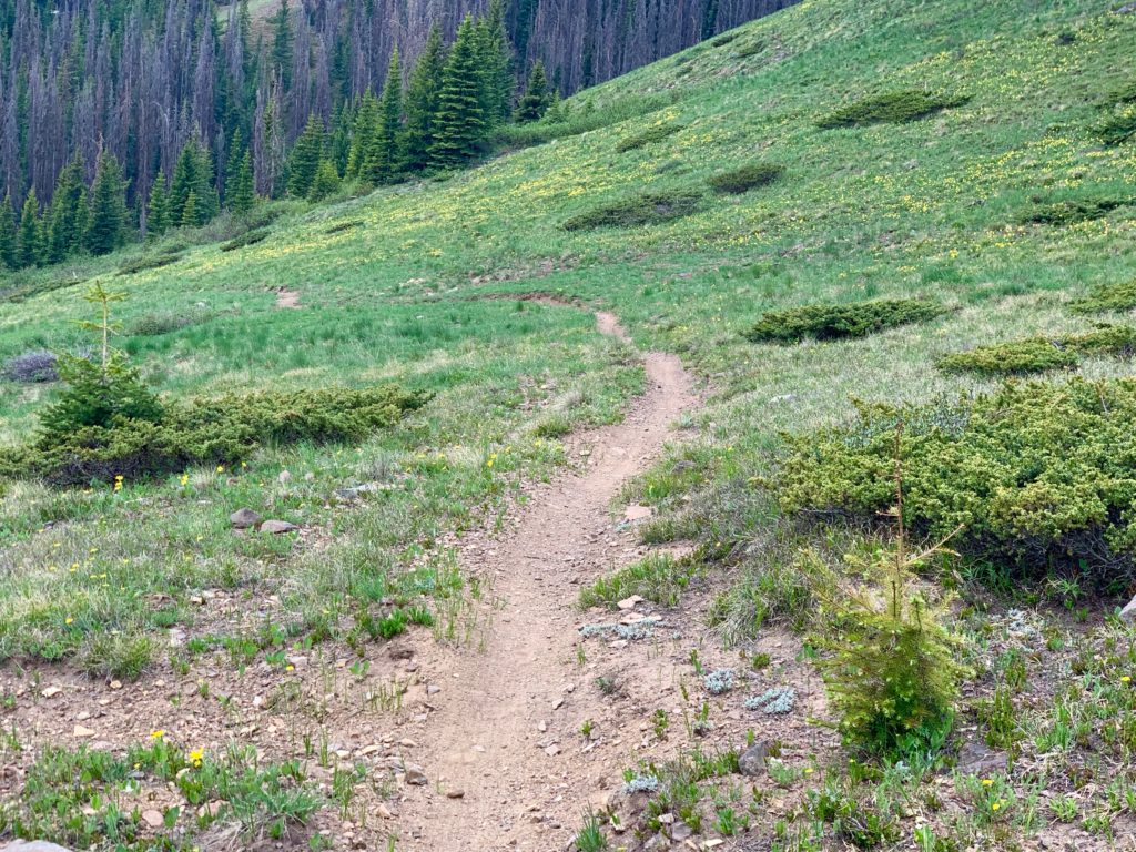
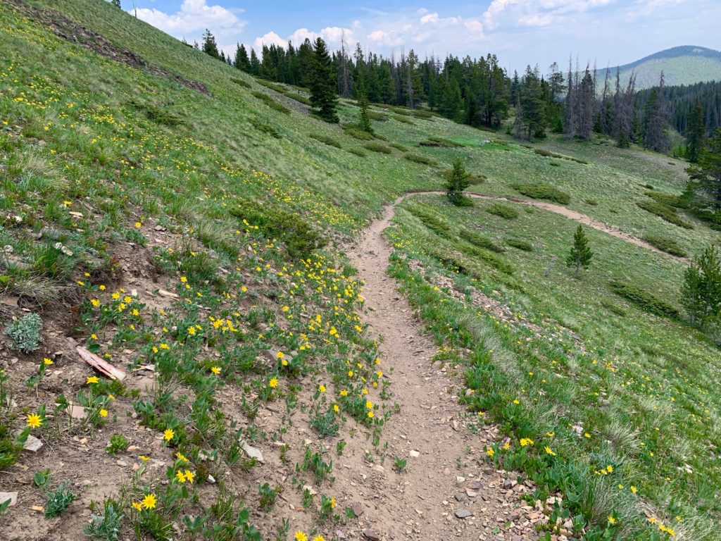
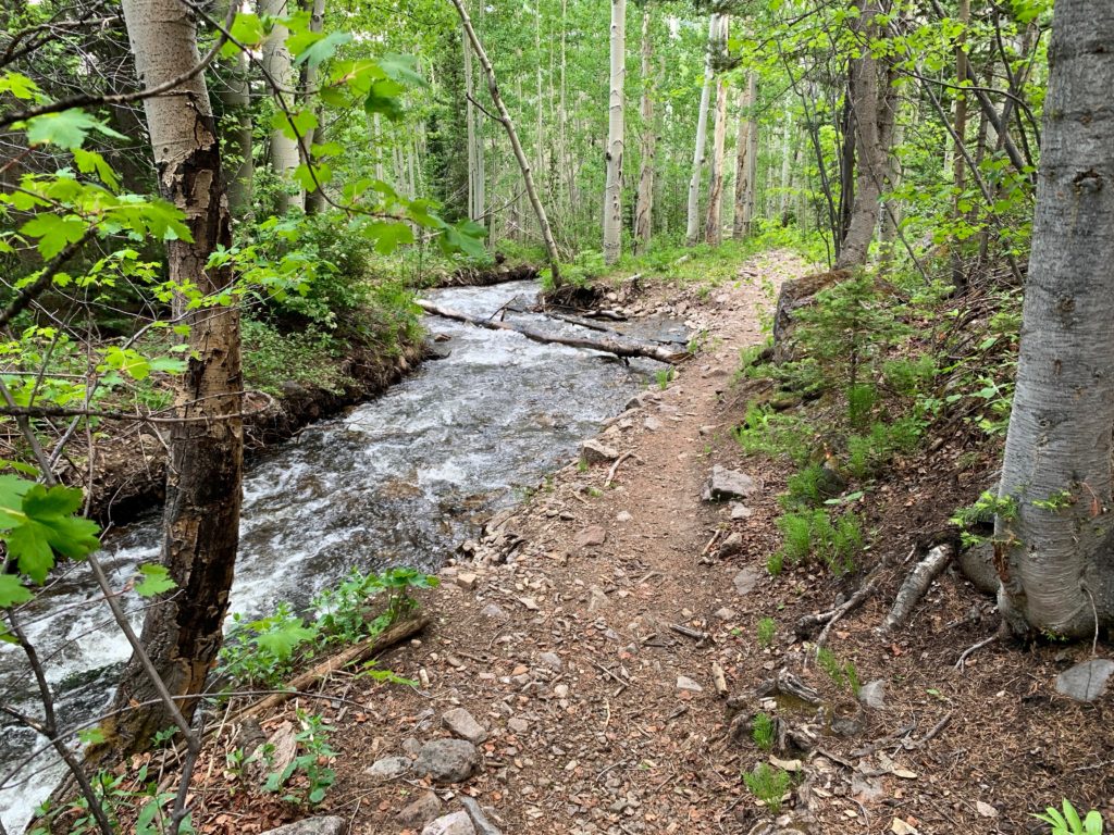
This was the earliest in the season I’d ever ridden the Crest trail and the meadows and forests along the Silver Creek trail were startlingly green. The kind of green that burns your eyes in its brightness and quantity. Stunning.
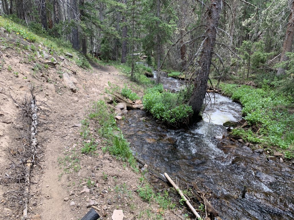
One of many springs along the trail.


Silver Creek


New bridge! For years this thing was just two logs side by side and for years I walked across it. Now it’s rideable! Again, hug your forest ranger.

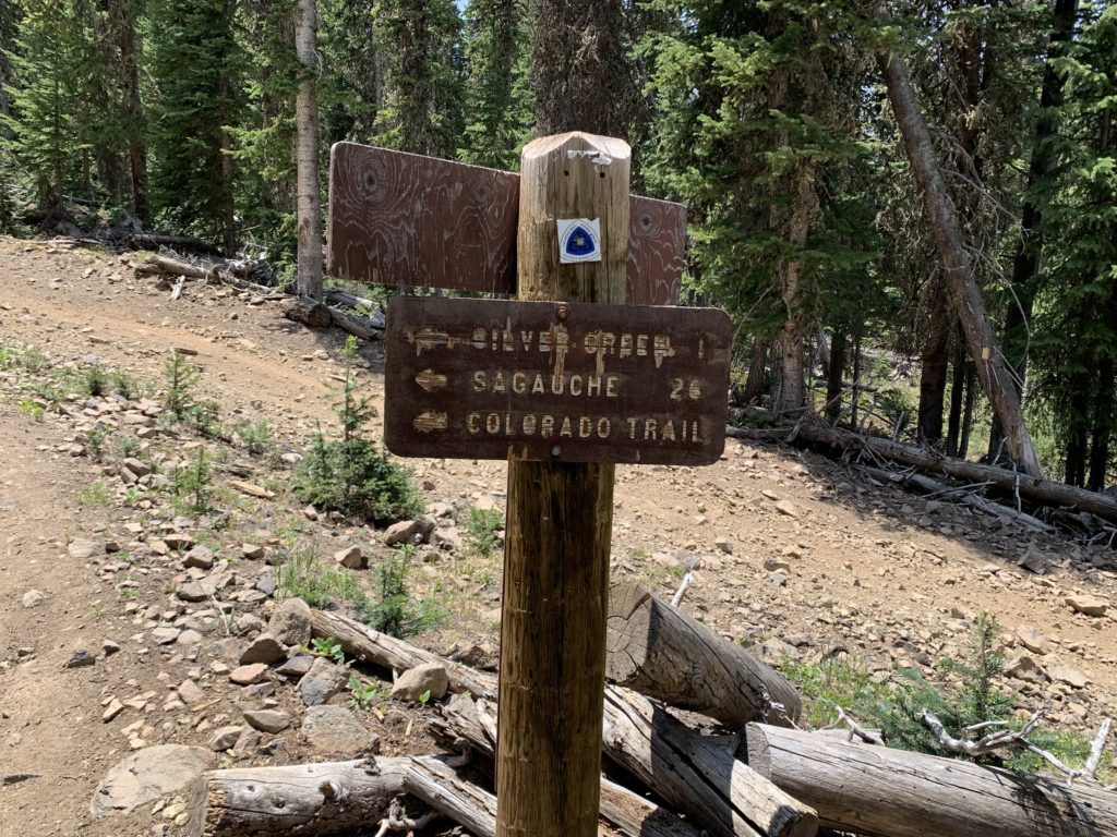
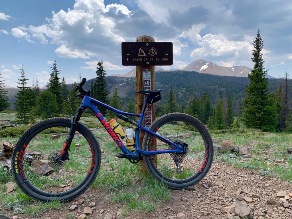
An old, familiar sign.

Like Silver Creek, the Rainbow trail was the greenest I’d ever seen it with plenty of fast-flowing creek crossings.

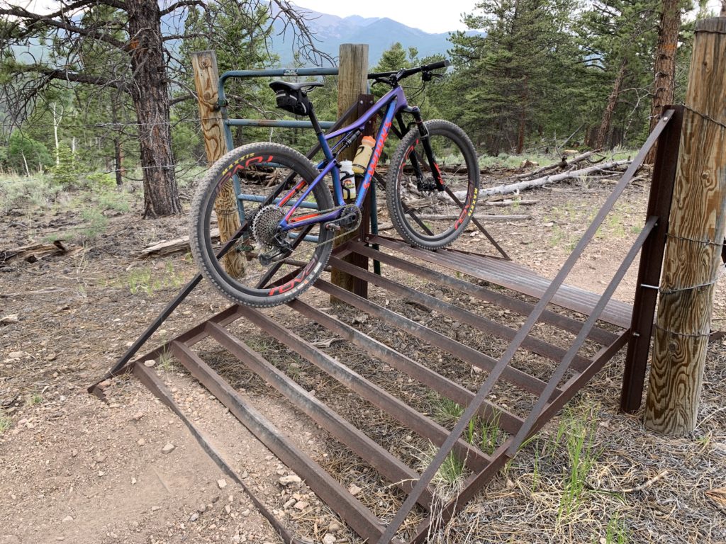
Ever seen a bike cattle guard? No, not to guard against bike-riding cattle. Like a regular cattle guard but for bikes. Kind of fun to ride over once you get the hang of it.
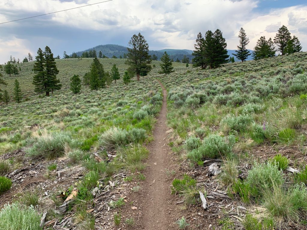
Last meadow before dropping back to highway 285.
So my math wasn’t so good. The ride ended up being a lot longer than I had planned. According to my Garmin it was 55 miles, six hours, and almost 6,000 feet of climbing. In my calculations I forgot to include the 10-mile paved commute to and from our house to bottom of Marshall Pass to start and end the ride. It’s just pavement, right?
Since the entire Monarch Crest is 36 miles and typically takes me four hours, maybe instead of Semi-Epic I should call this ride the Epic Plus. Whatever you want to call it, it was such a great ride that I didn’t really mind the extra time or miles. It’s just so satisfying to be able to jump on your bike and pedal yourself far back into the wilderness without the aid of a vehicle of any kind. Truly wonderful.