We’ve been having what can rightfully be described as a spectacular fall season in Colorado. Weeks of crisp, clear evenings and cloudless bluebird days with high temperatures in the 70s. While the leaves are gone from the aspens, the cottonwoods and birches in the valleys are all brilliant shades of yellow and orange.
I figured I was done with mountain climbing this year but weather like this draws you outside. It called for another 14er climb. One more before the snow starts to pile up. Kind of a 2023 bonus climb. Since it’s so late in the season, I wanted a mountain that wasn’t going to present any surprises. Something straightforward. Mt. Bierstadt, one of the easier 14ers in the Front Range, fit the bill.
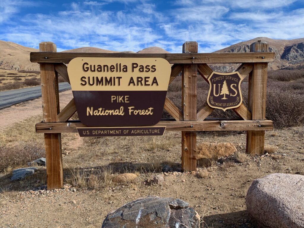
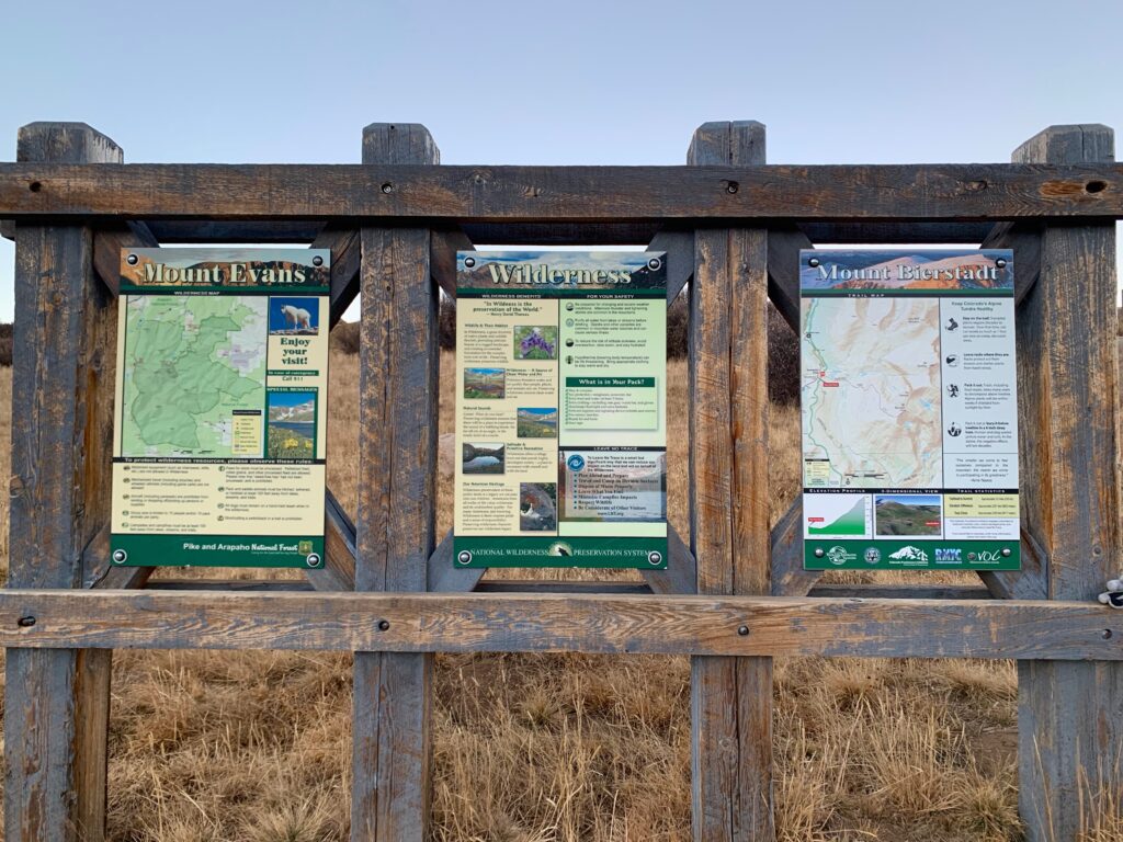
Bierstadt sits in the mountains about 30 miles west of Denver. It’s situated in the area between I-70 to the north and Highway 285 to the south, accessed via Guanella Pass. It’s a part of the state I’ve been near countless times but never actually ventured into. The trailhead is at the top of Guanella pass at 11,670 feet. So, unlike most 14ers where you spend the first several miles hiking through the woods, you climb the first part of Bierstadt in the car getting to the trailhead and start hiking already above timberline.
Bierstadt would be my first Front Range 14er. Now you may be thinking, Pikes Peak is in the Front Range, didn’t you do that a few weeks ago? Well technically, yes, I did. But I did it on a bike on a road, so it doesn’t count as a “climb” even though it felt pretty dang climby at the time.
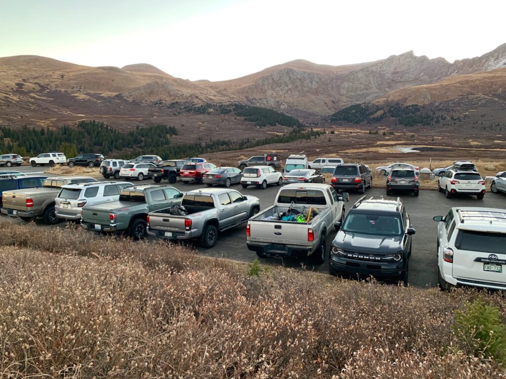
I headed out to do Bierstadt this past weekend. I typically avoid climbing on weekends due to the crowds but I figured in late October, how crowded could it be? Well the answer is, very. Bierstadt, like Quandary a few weeks ago, is an incredibly popular mountain.
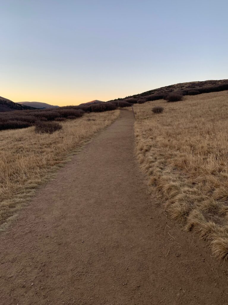
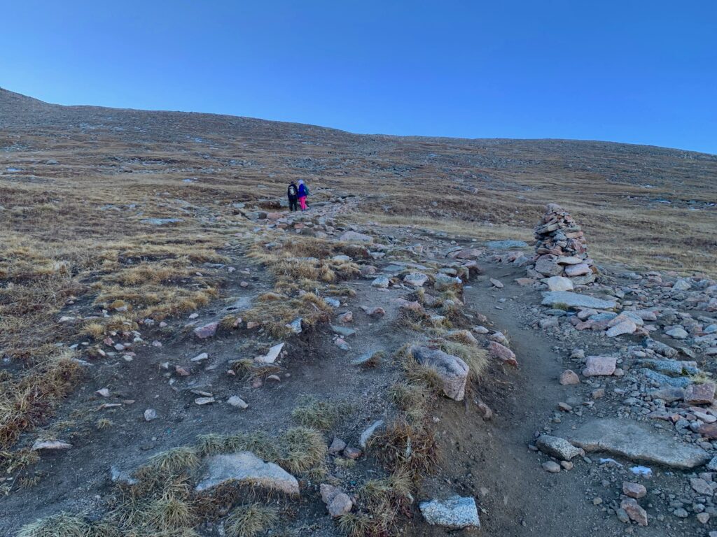
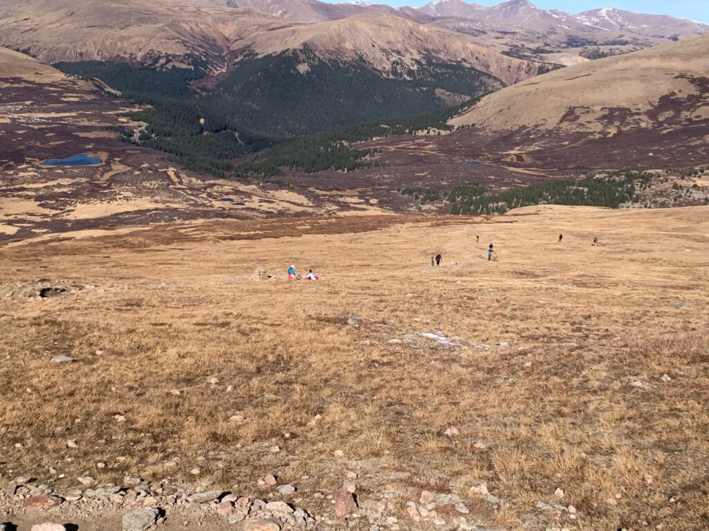
Starting at timberline with the summit in view from the parking lot. Feels like cheating.
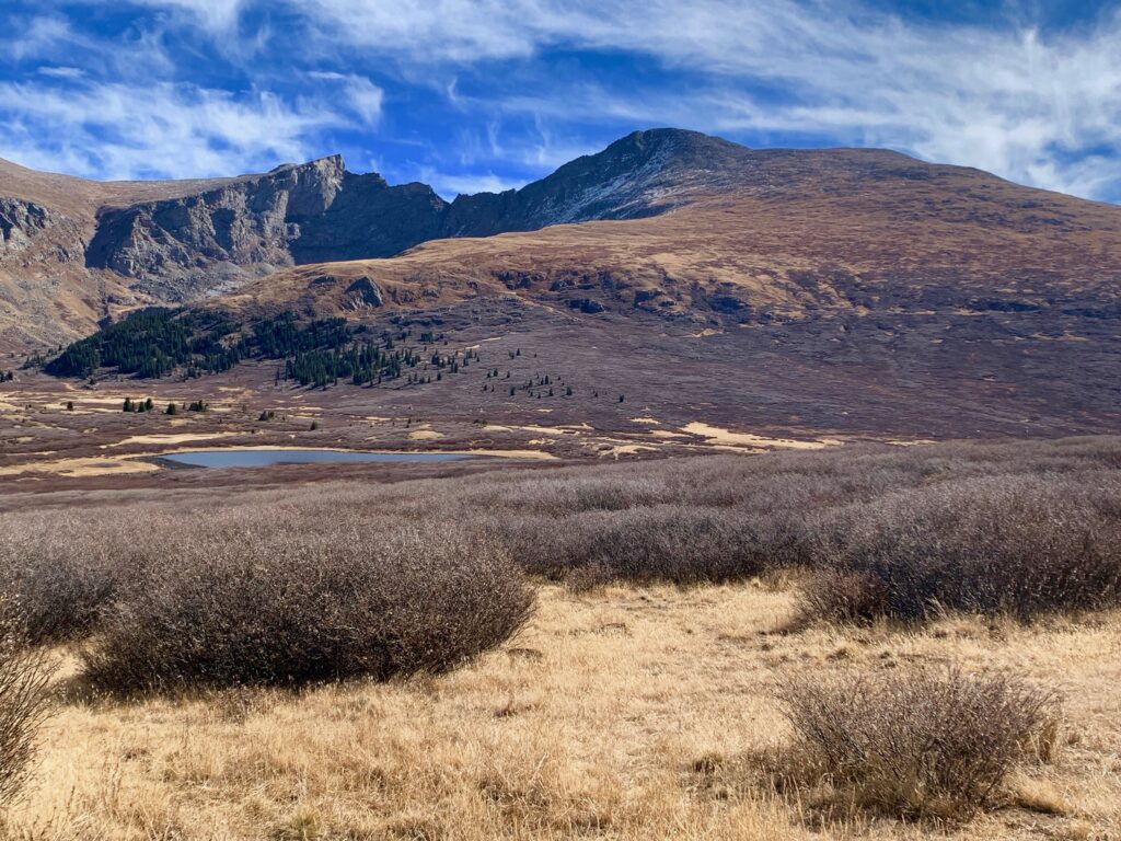
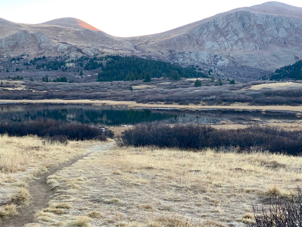
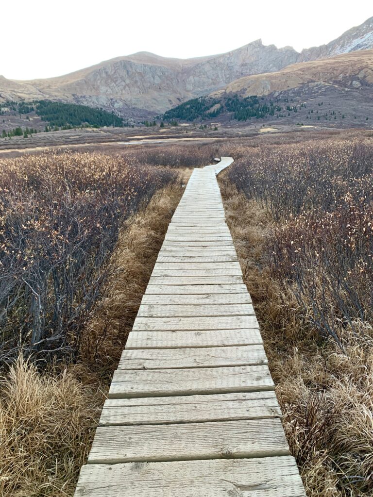
The well-worn trail starts in an open grassy area and then descends through willows into a high-alpine marsh dotted with small lakes and ponds.

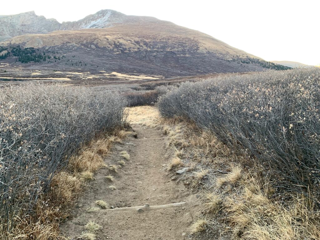
To keep people from damaging the flora by cutting paths through the muddier areas, there are several sections of raised boardwalk through the willows.
The trail gently descends for about a mile to Scott Gomer creek.
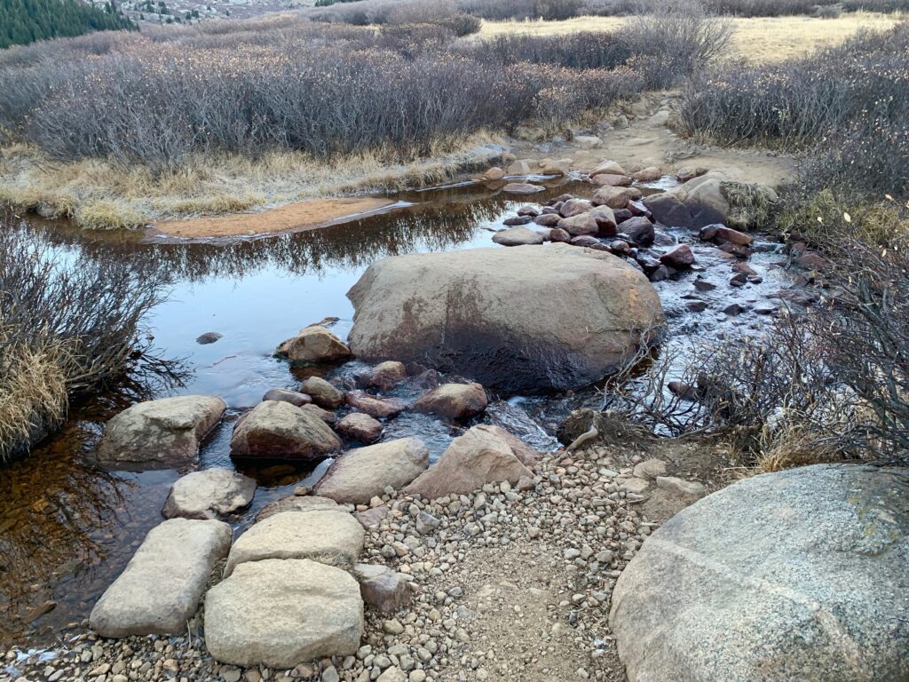
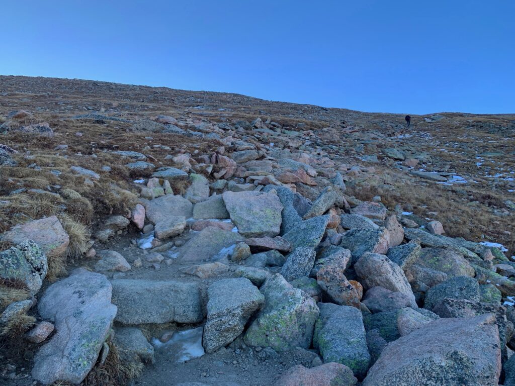
After the creek, the actual climbing begins.
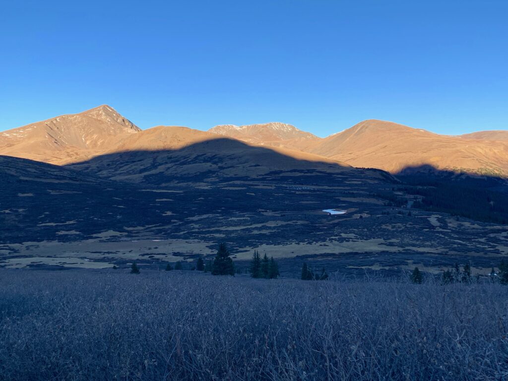
Temperatures were in the mid-twenties when I started walking at 7:30. Thankfully, there was no wind. But the trail climbs the west face of the mountain so in the morning, the entire hike is spent in the shadow of Bierstadt. After crossing the creek, I was glad to finally start going uphill just so I could exert some effort to get warmed up.
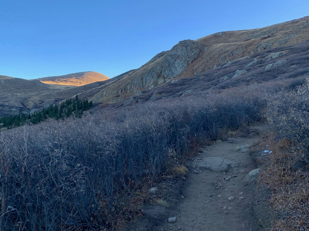
Looking back at the shadow of Bierstadt on the peaks to the west.
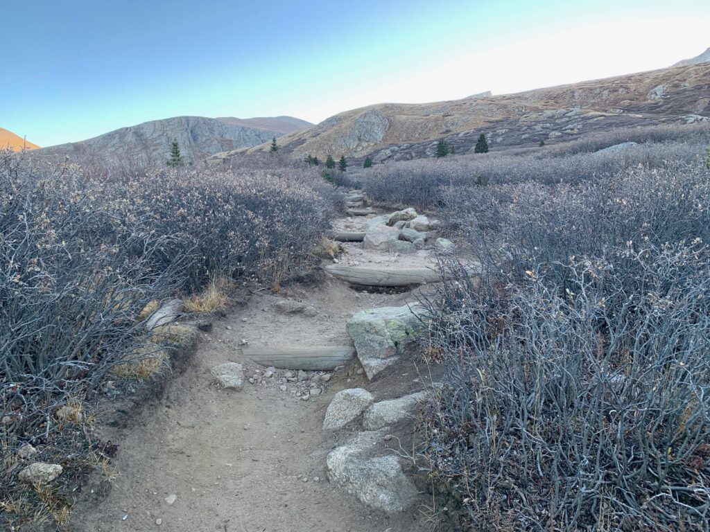
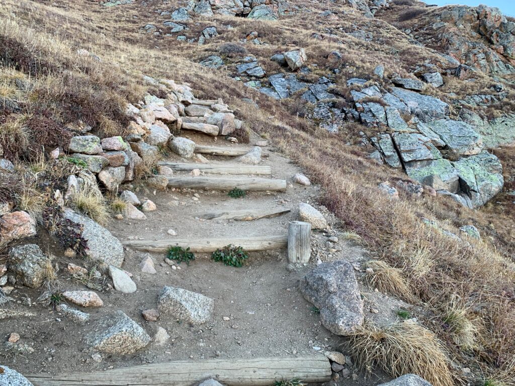
The trail gradually gets rockier as you climb out of the willows and into the open. There was a steady stream of people going up and coming down the trail the whole morning.


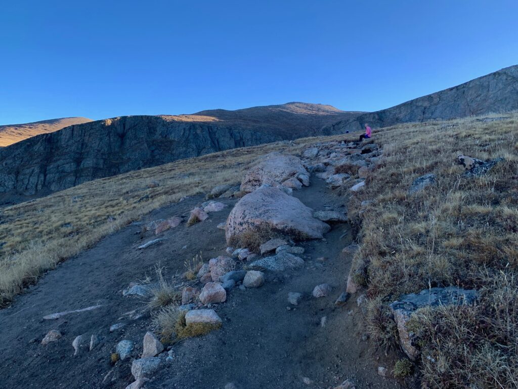

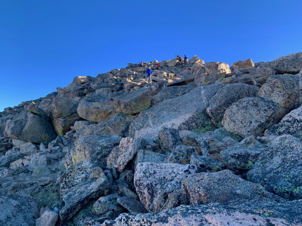
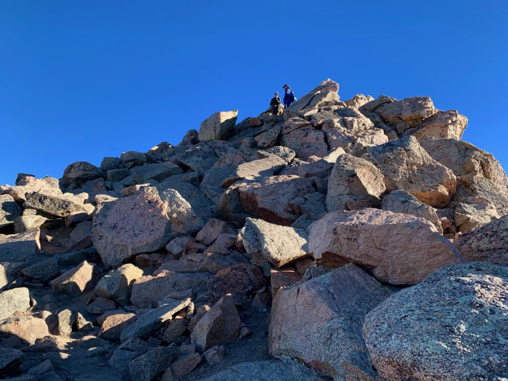
After two hours of climbing in shade, I finally broke into the sun on top of Bierstadt’s southwest ridge.

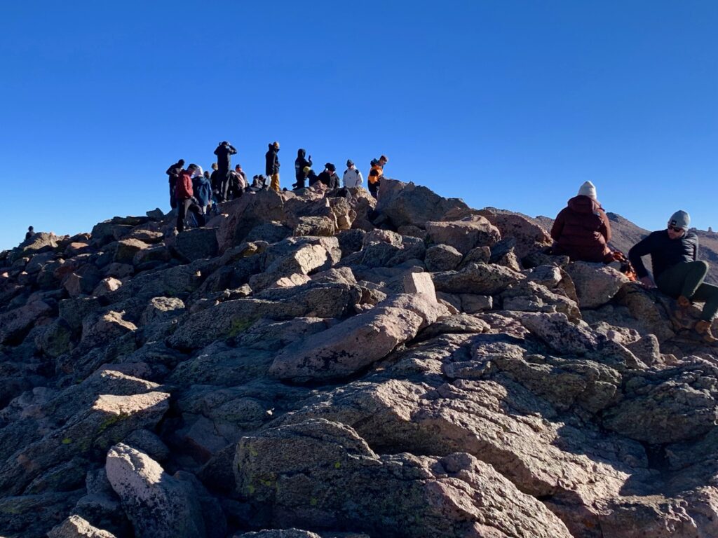
From the top of the ridge it became clear just how many people were on the mountain that day. As the amount of mountain shrank to a point at the top, the people previously spread all over the mountain face converged onto what looked like a standing-room-only outdoor party.
Which is pretty much what it was. As it turned out, the day I chose to climb Bierstadt was also the day one of the University of Colorado fraternities — Phi Kappa something something — also chose to climb it as part of some fraternity bonding exercise. When I arrived on the summit there was a large group of young dudes drinking Coors Light, smoking weed and generally having a really good time in the sunshine at 14,066 feet. Peaceful solitude it was not.

I asked one of them what was going on and when they said they were all from CU I introduced myself, class of 1985. That got me a few fist bumps and an offer to take a drag off a particularly dank smelling joint. I declined. Figured if I did, I’d end up falling asleep on the summit and would wake up the next morning alone, half frozen in the same spot with Sharpie art all over my face.
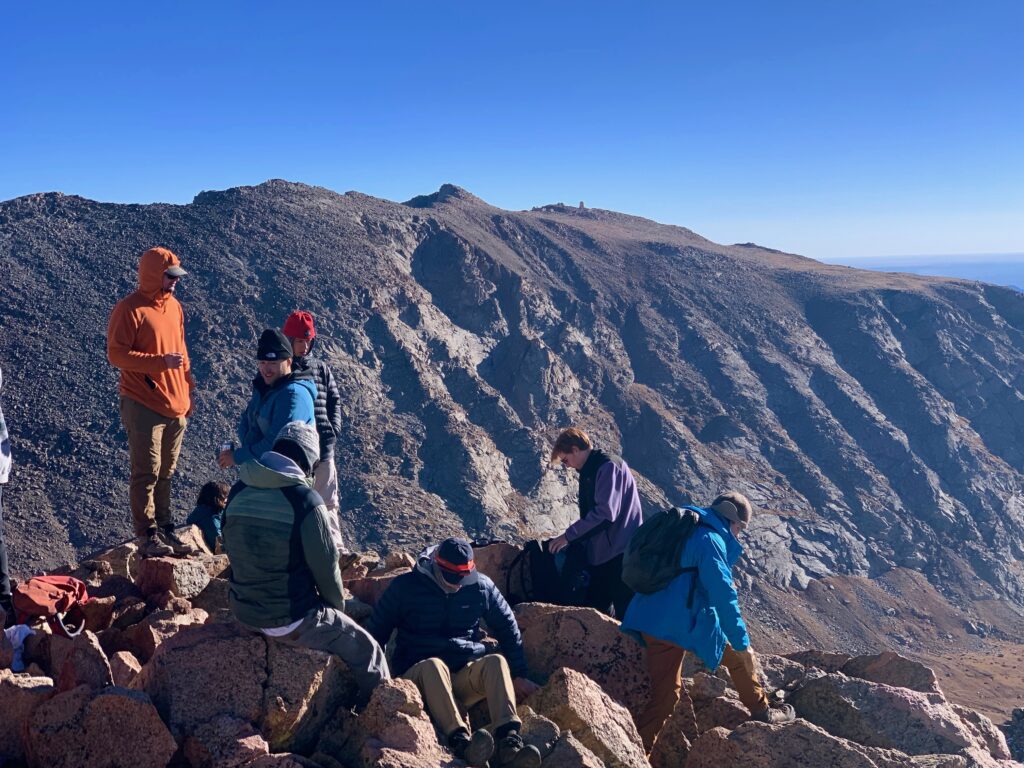
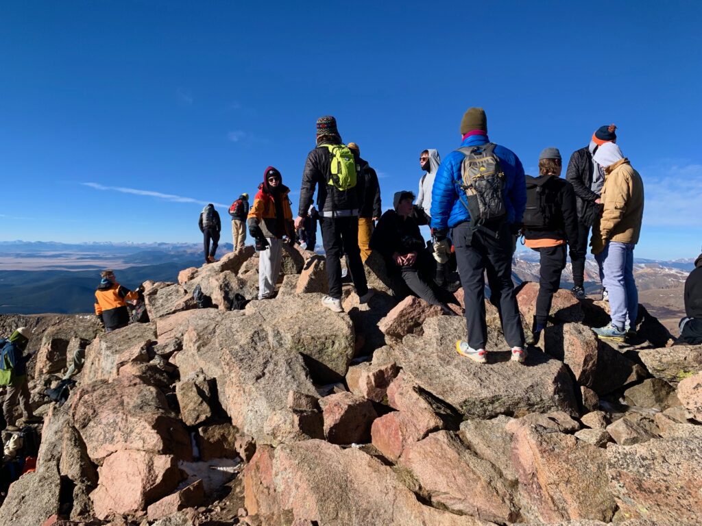
But I ended up hanging out on the summit for more than a half hour. The CU bros were an entertaining bunch but I really didn’t want to get caught up in their party the whole way back down. Besides it was an absolutely gorgeous, windless day up there. I pulled up a rock, caught a few rays and snapped a few photos while the party slowly broke up.
After a little looking around I found the summit marker, dated 1955.

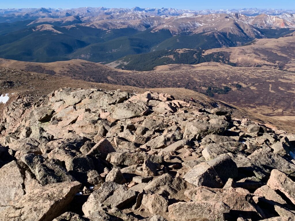
And here are some panorama shots because, hey, that’s what I do…
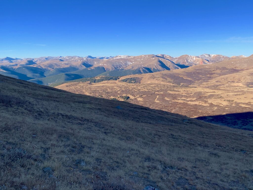
South Park, appropriately, to the south.

Looking southwest to the Ten Mile and Mosquito ranges.

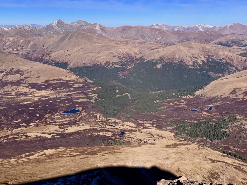
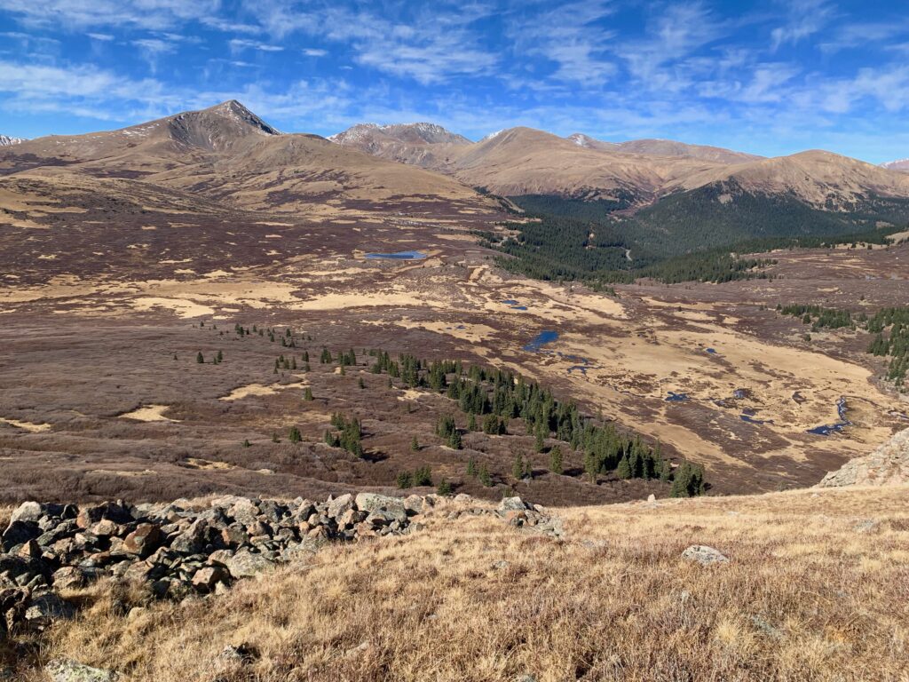
In the basin to the west is Guanella Pass and the parking lot where I started. Look, there’s my car! That’s a rarity in 14er climbing. Fellow 14ers Grays and Torreys Peak are left of center in the background.
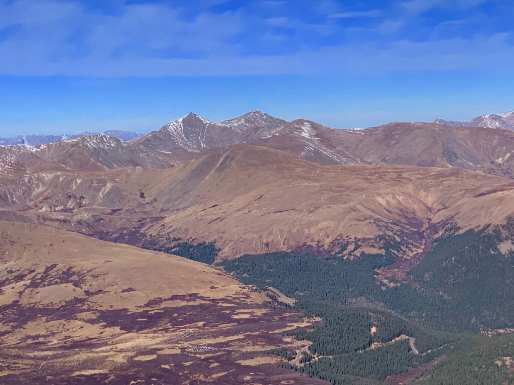
Zoomed-in shot of Grays and Torreys. Both on my list to climb.
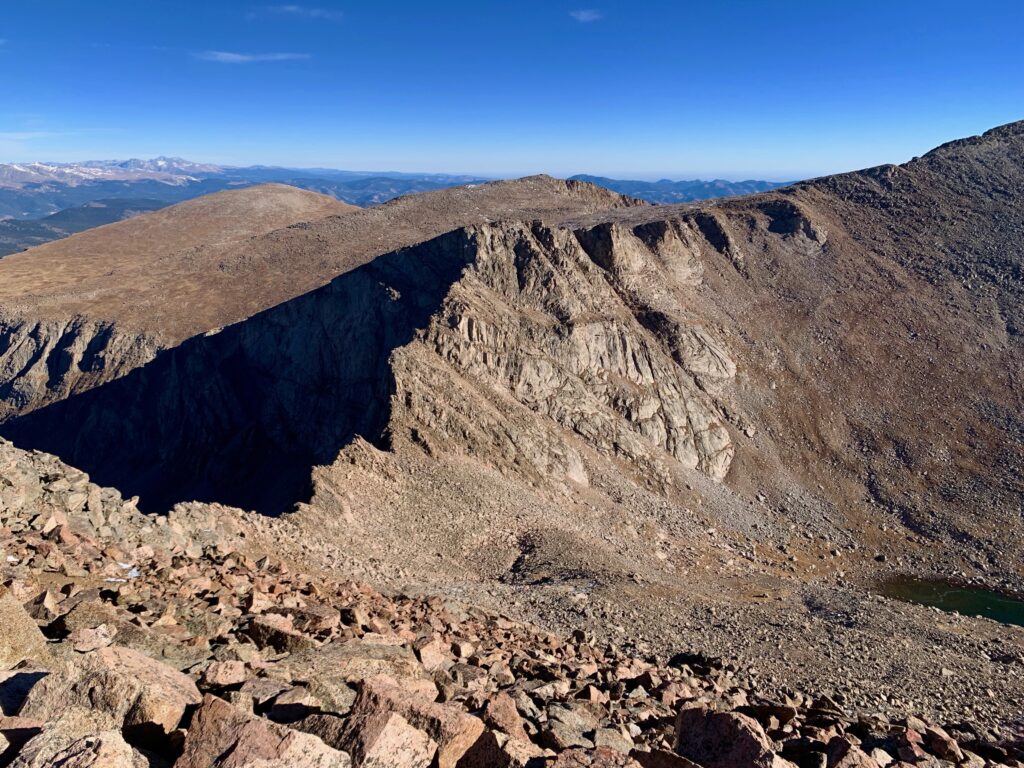
To the north is the Sawtooth, the rugged connecting ridge between Mt. Bierstadt and Mt. Blue Sky.
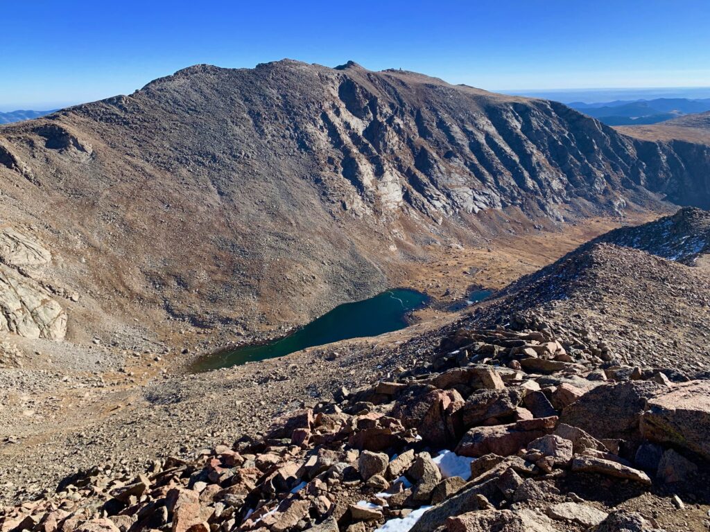
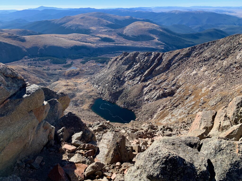
Mt. Blue Sky (formerly Mt. Evans) to the northeast with its observatory on top and Abyss Lake below.
Pikes Peak on the eastern horizon.
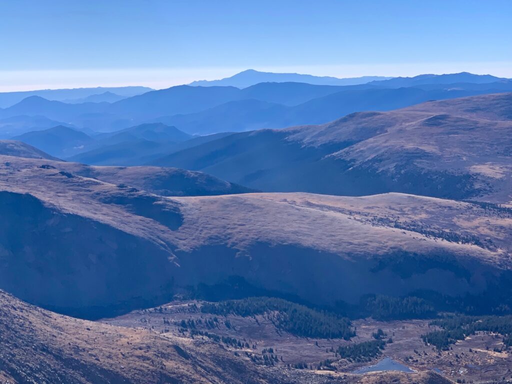
Southeast Bierstadt Peak with Frozen Lake below.

It was hard to leave the summit on such a beautiful day but once the crowd cleared out it was time to head back. I shed a couple of layers, broke out the hiking poles and started down.

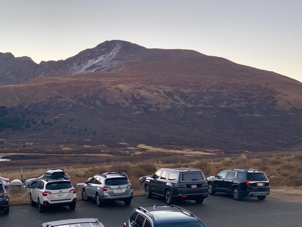
Back at the car the parking lot was beginning to thin out. The CU bros were still hanging out, waiting for all of their friends to make it off the mountain. Obviously a little tired from their hike, their parking lot party was more subdued than the one on the summit. I saw one of them already asleep in the back of a pickup. It was going to be a long drive back to Boulder for them.
I had myself a quick sandwich for lunch then loaded up the car and headed the opposite direction, south down Guanella Pass and back to Salida.