It’s been two whole weeks of recovering from the Covid. I’ve been lying around the house doing nothing more strenuous than reading and the occasional coughing fit. My test went negative on day 13 and I was feeling mostly back to normal. I was dying to get outside.
The problem is, two weeks of total inactivity all but erases any previous fitness I could have claimed. As you get older, fitness is slow to come and quick to leave. I was going to need something relatively low impact.
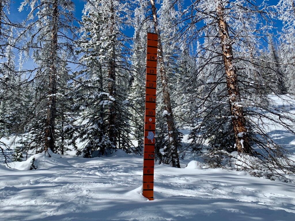
Remembering my recently completed avalanche course, I decided to head up Monarch Pass to the place we visited on our last day, a backcountry ski area called Snow Stake. Why is it called that? See the photo above.
Tucked into the pine trees just past the trailhead is a giant stake to measure snow depth. It looks old, like 1950’s or 60’s old, but I haven’t been able to find any information on its history or specifically why it’s there. The current road over Monarch Pass dates back to 1939 so who knows, it could date all the way back to then.
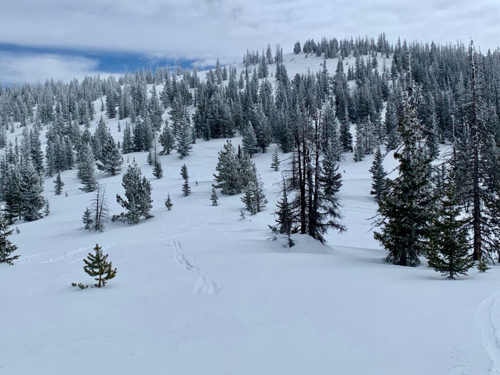
As backcountry lines go, Snow Stake is pretty mellow. It’s just off highway 50 near Monarch ski area so civilization is always nearby. There’s little danger of getting disoriented or lost when you can look down from most angles and see the highway.
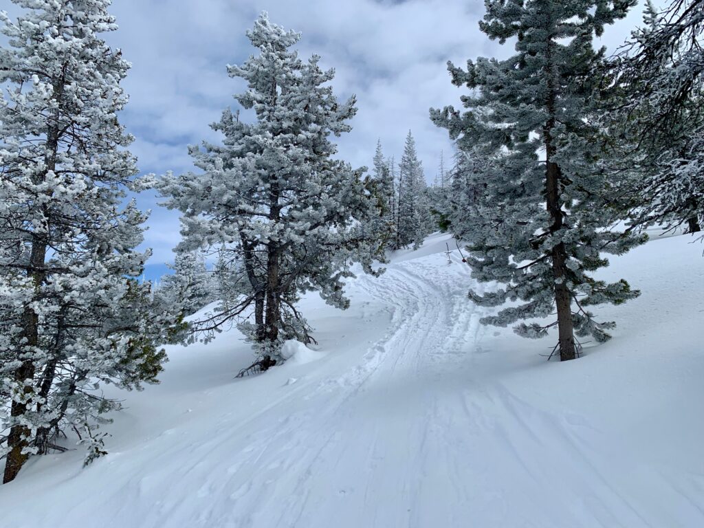
It’s just over 500 feet of vertical top to bottom so while the ski down is relatively short so is the skin up. This makes for the ability to do multiple laps depending on your ambition and energy level. A nice balance between effort and payoff.
And the slopes are all in the 18 – 24 percent range so the avalanche danger is non-existent in all but the most extreme snow conditions. According to my avalanche instructor there has been only one known instance of an avalanche in the area, and it was way back in the 1970s after a record snowfall.
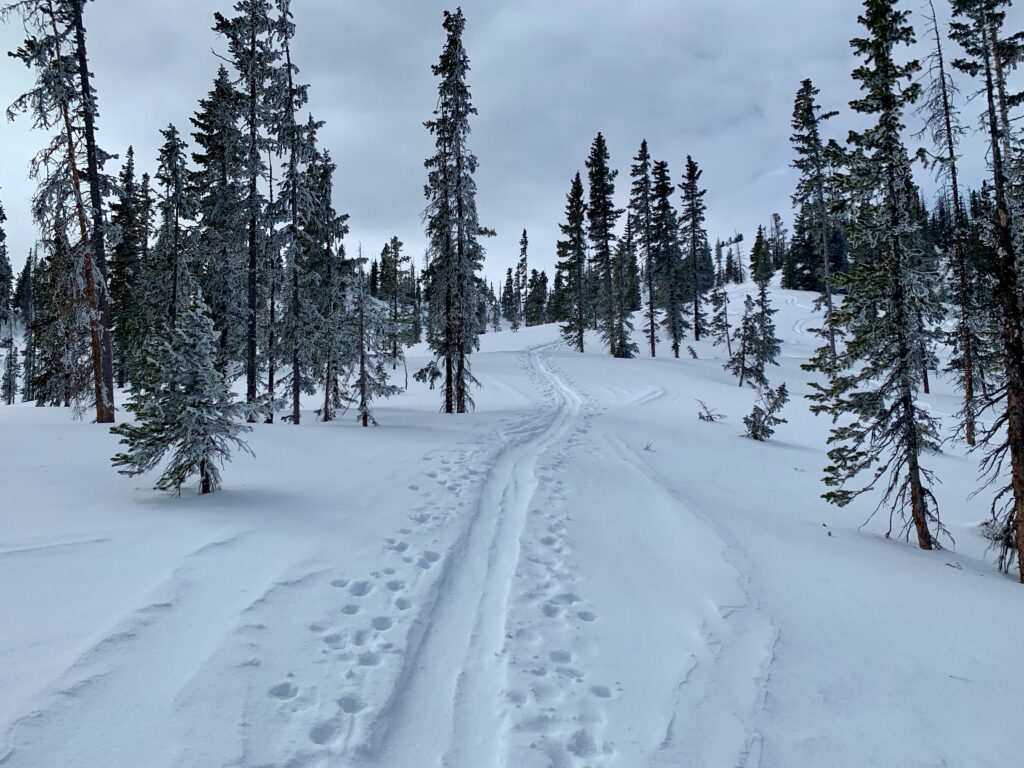
From the east, the trailhead for Snow Stake is on the outside of the curve on the next-to-last switchback before the summit of Monarch Pass. Parking is on the inside of the curve so carefully clomp across the highway, clip in, and you’re skiing.

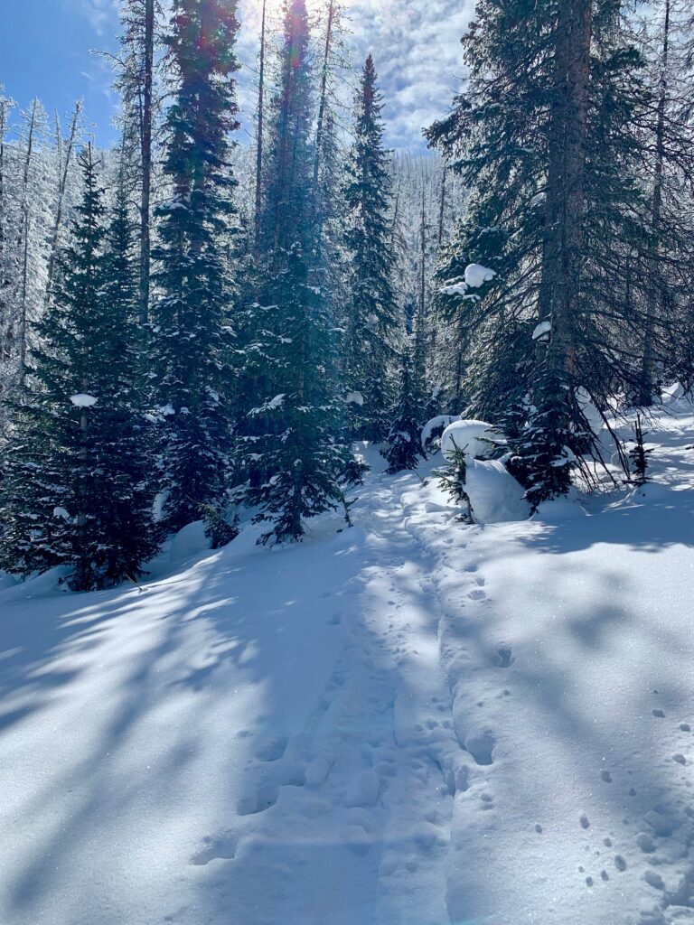
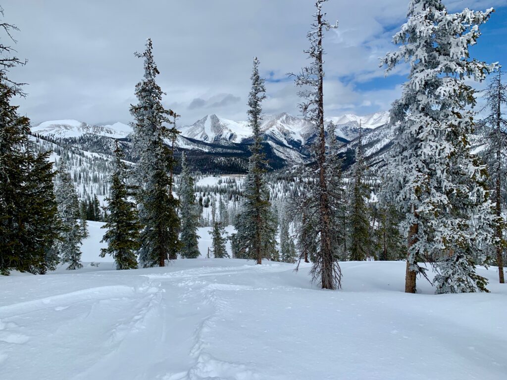
The trail starts at 11,160 feet and winds its way through thick forest up to the top of the Continental Divide.
I ran into this guy about halfway up the climb. He’s been a regular backcountry skier in the areas around Monarch for years. He was going the same way I was so we struck up a conversation as we climbed together. In a weird coincidence, it turns out he works at the Mountain Chalet in Colorado Springs, where I bought my backcountry skis and boots, the very skis and boots I was wearing.

Fresh tracks ahead!
Approaching the saddle.

Up and over the first hump.

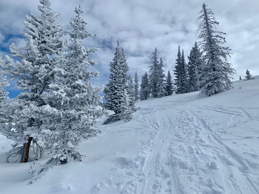
Nice view of Mt. Aetna and Taylor Mountain through the trees.
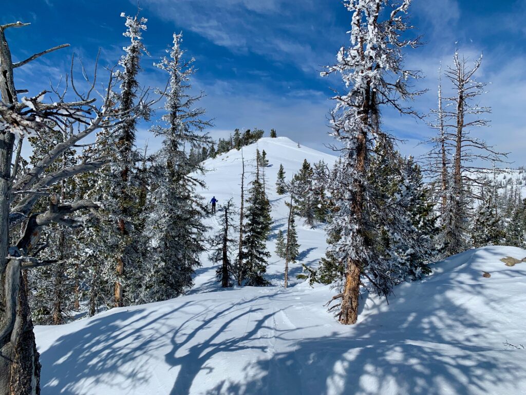
Looking across to our first objective, Peak 11,560.
The view from the summit of 11,560.

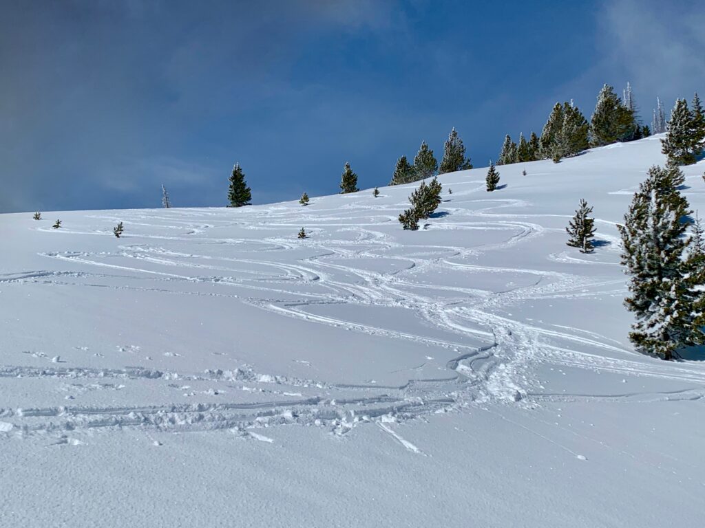
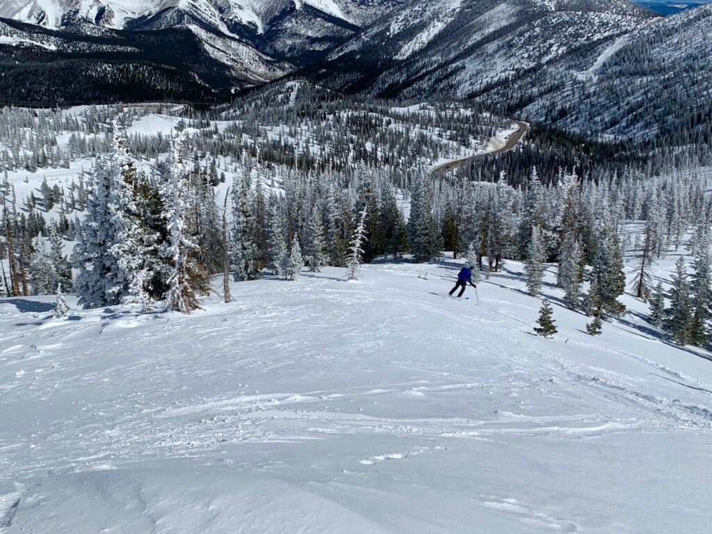
Looking down the first run of the day, officially known as Pass Bowl Glades.

Time to ski!

The run ends in this large, flat meadow at the bottom of Pass Bowl.
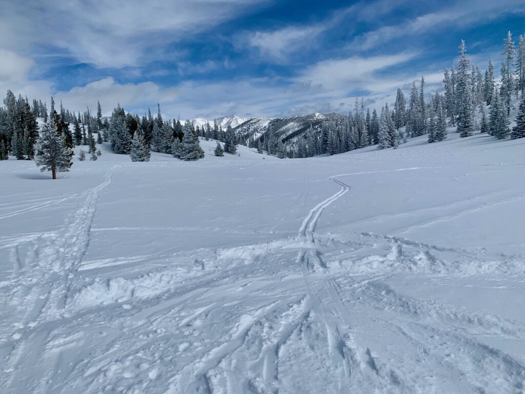
Looking back up at the run just completed. One of those sets of tracks is mine.

Somewhere between the top and the bottom of the run I lost my new colleague. Normally, losing someone in the backcountry would be a problem but since we weren’t together to begin with and had made no plans to meet at the bottom, I figured he had simply gone a different way. In the backcountry there are an infinite number of paths to skiing happiness. I transitioned back to climb mode and began my skin up for a second run.

Looking across the saddle to my second and higher objective of the day, Peak 11,690.
Starting the climb up 11,690.
Final stretch to the summit.

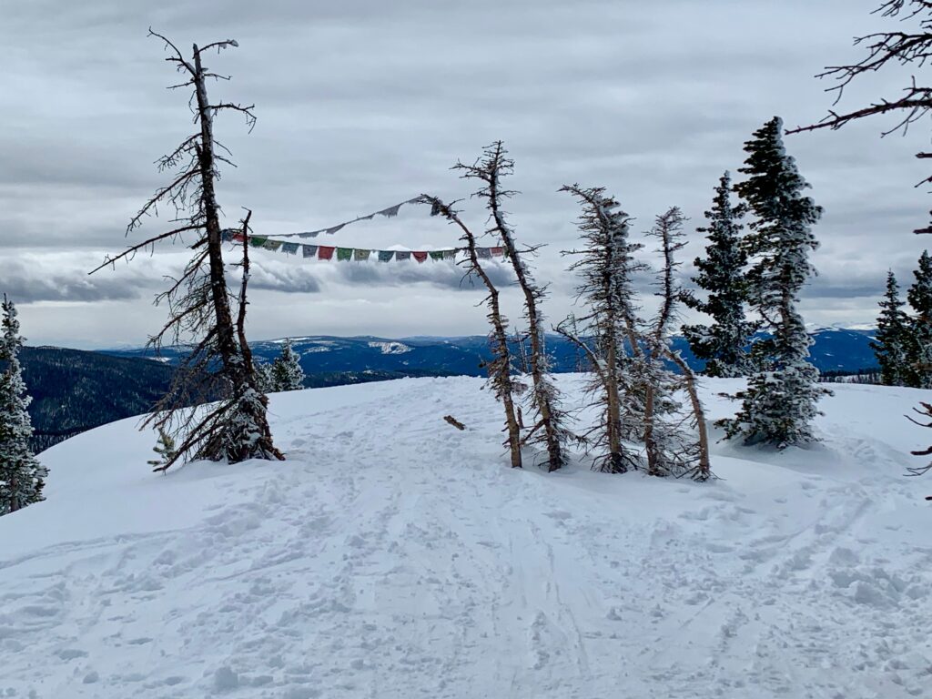
Large, flat summit, complete with prayer flags.

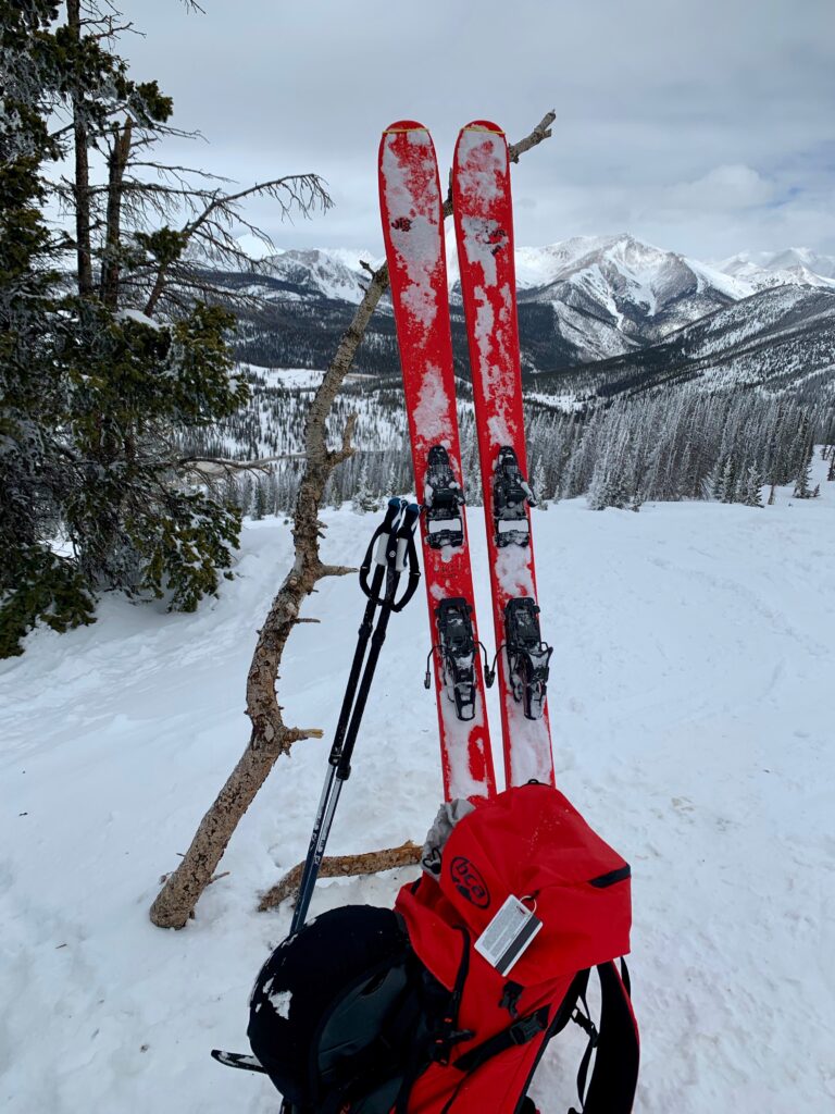
Time for a break and a snack.
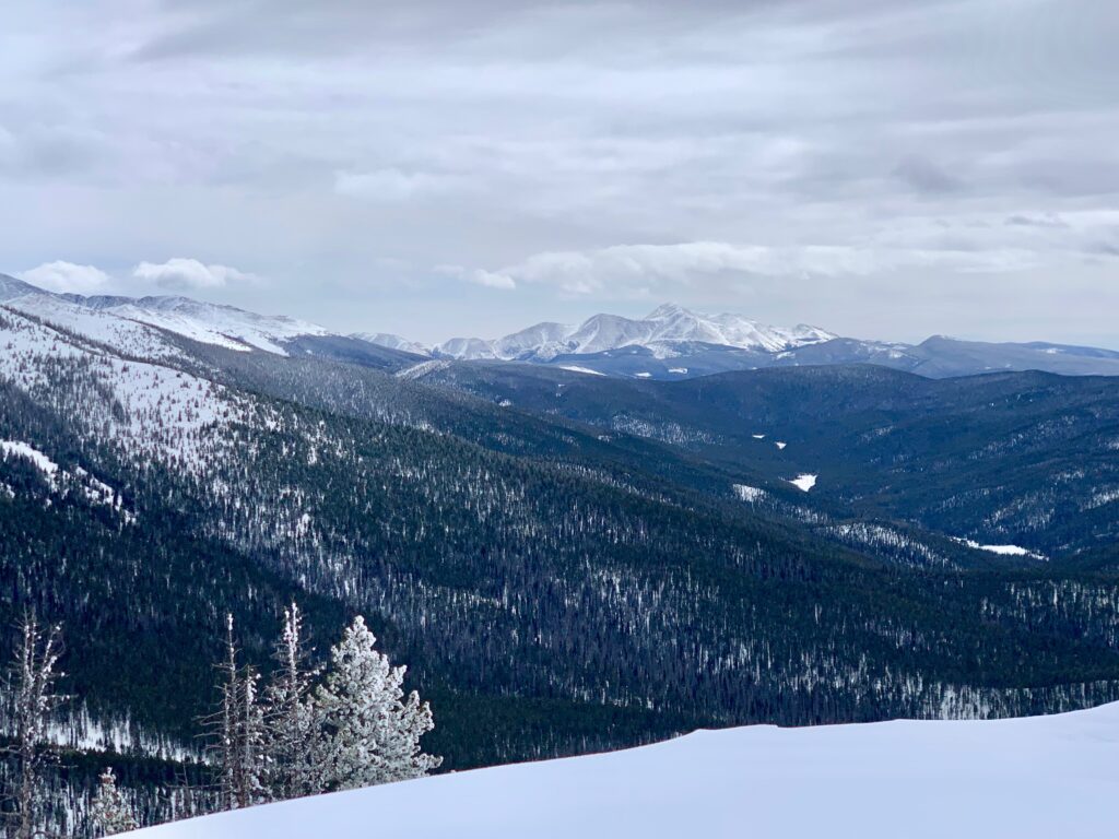
The view west towards Gunnison.

Antora Peak to the south.
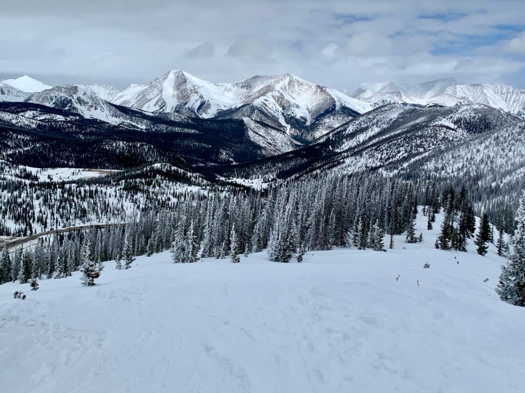
Across the way, the Monarch Crest with highway 50 below.

Looking down my second run of the day with Aetna and Taylor always in the background.
Starting down.

While these pictures make the snow look like soft, fluffy powder, it was not. In fact, this run ended up being a valuable lesson in backcountry skiing. You see, my chosen line was a northwest facing aspect and because the whole area has been experiencing strong westerly winds for the past few days, the snow on this slope was actually frozen crud with a light dusting of blown in snow on top hiding its true personality. Nasty, hard stuff. I made two turns and nearly went down both times before traversing further east onto the leeward side of the mountain into the trees and softer snow. Lesson learned. Fresh powder good; old windblown powder bad.
I skied back down to the trailhead and decided to call it a day. Two runs felt like just enough. I was tired but not completely worn out. It felt good to be outside in the sunshine and fresh air doing something physical again.