After Pikes Peak, probably the most widely known mountain in Colorado is Mount of the Holy Cross. Unlike Pikes, which sits on the Front Range flush against the prairie, staring drivers from the east in the face for miles, Holy Cross is hidden deep in the Rockies. It only reveals itself to those willing to hike. And as I discovered, hike a lot.
Holy Cross sits at the northern end of the Sawatch Range in Eagle County. In fact, it’s the highest point and only fourteener in Eagle County. And even though it’s only 13 miles southwest of Vail, due to the surrounding mountains, it’s not visible from any roads or highways. The best view of the mountain without hiking is probably from the top of Vail ski resort. I grew up in Colorado and I’d never seen it until recent years and only from a distance, hiking other high mountains.
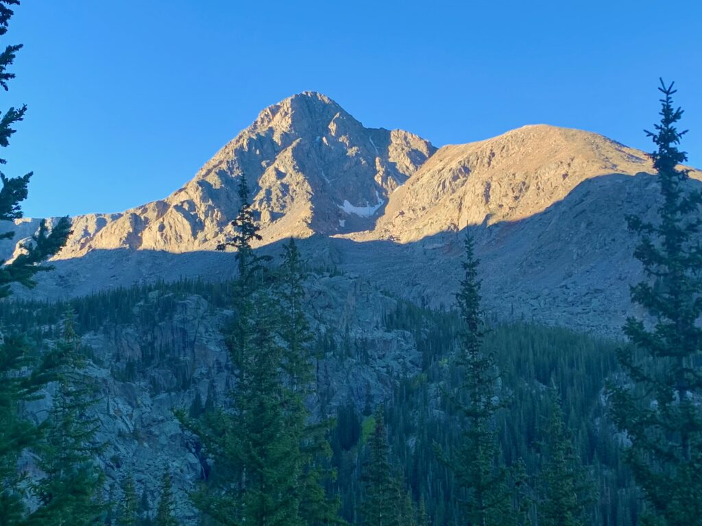
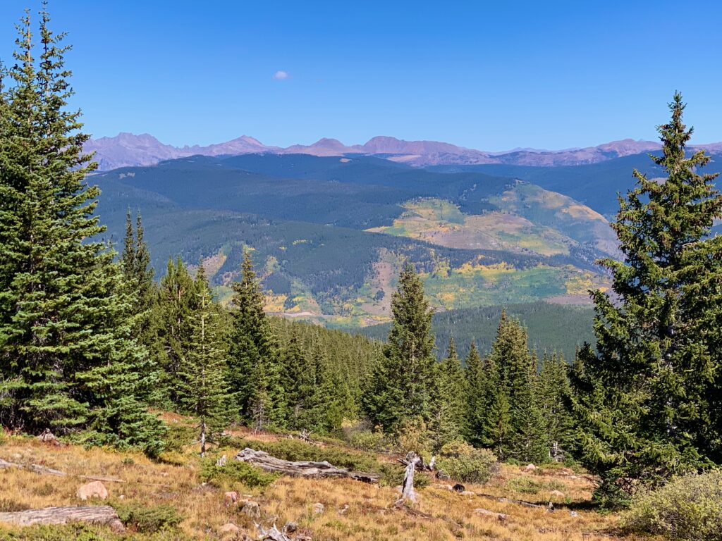
Holy Cross as seen from the summit of Mt. Massive.
Far removed from the unbroken chain of Sawatch fourteeners in Chaffee and Lake counties to its south and across the Continental Divide from those mountains, Holy Cross feels uniquely remote and isolated.
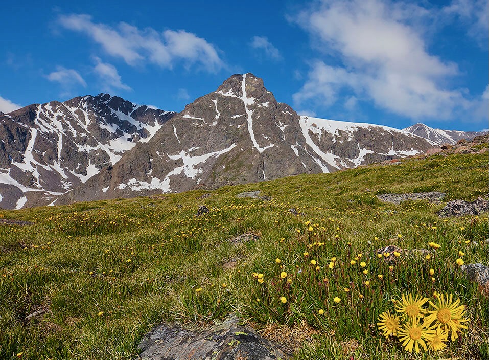
Of course, Holy Cross is most famous for the snow cross feature on its eastern face. The cross is formed by a straight, deeply-inset couloir which is intersected by a rock ledge about two-thirds of the way up. In the winter, these features fill with snow and as the surrounding terrain melts off, a huge white cross becomes visible.
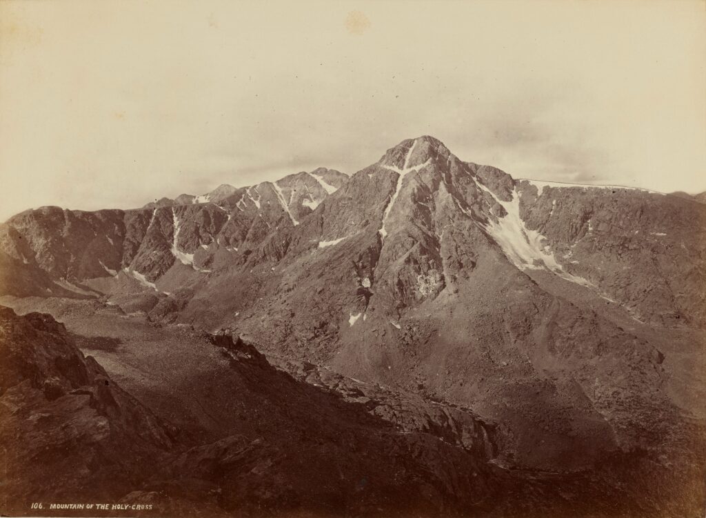
Because of the cross and the mountain’s hidden nature, it has held religious significance since its discovery in the late 1800s. During the early settlement of Colorado by pioneers, Native Americans, trappers and early explorers spoke of the existence of a mountain with a great white cross but its exact location remained a mystery for years. No photographic evidence of it existed until 1873. Then, after days of searching as part of the Hayden Expedition, photographer William Henry Jackson finally took a photograph of it from Notch Mountain immediately to the east.
After this photograph was published, many pilgrims began making the trek to Notch Mountain for prayer and reflection. In 1929, President Herbert Hoover declared the site a National Monument. In 1933, as visits became more common, a rock shelter was built on Notch Mountain to accommodate visitors. The shelter still stands today.
Over the following decades, the pilgrimages slowed down and, due to rock fall and erosion from its right arm, the cross itself has become less strikingly symmetrical.
The Holy Cross in 2017, compare to 1873 above.
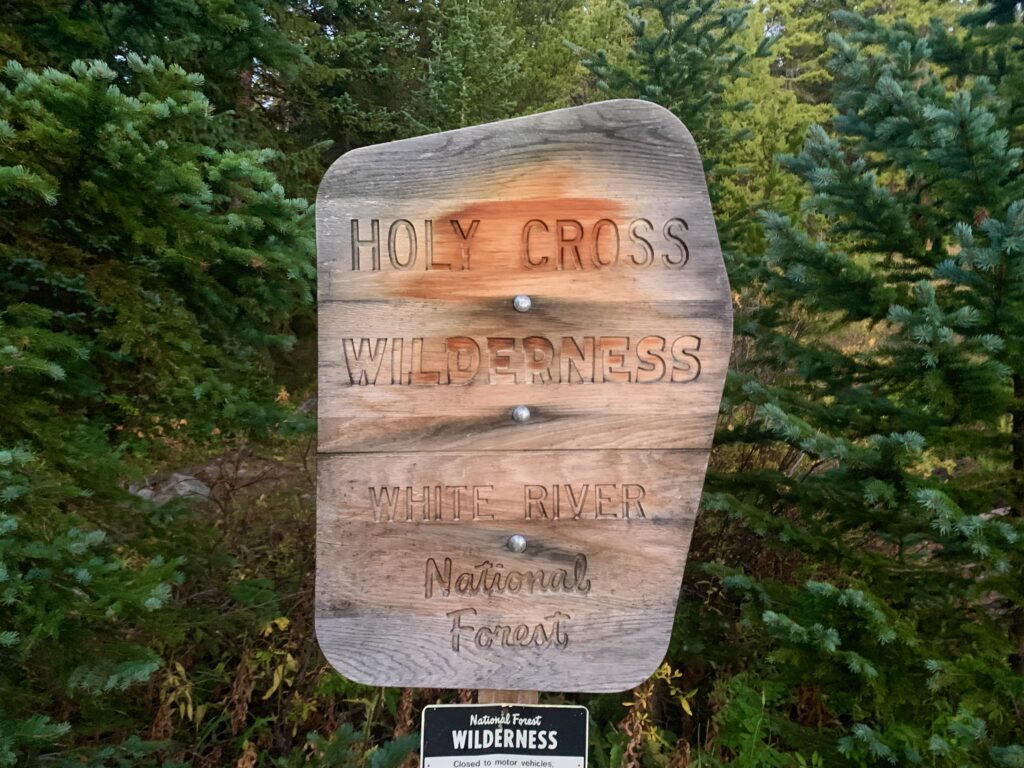
In 1950, President Harry Truman signed an act revoking the area’s National Monument status, returning it to the National Forest. However, in 1980, the mountain and surrounding area were designated as a National Wilderness Area. These days, the Cross Couloir is known more as a test for backcountry skiers than as a religious symbol. It remains one of the most remote and beautiful areas of the Sawatch Range and indeed, all of Colorado.
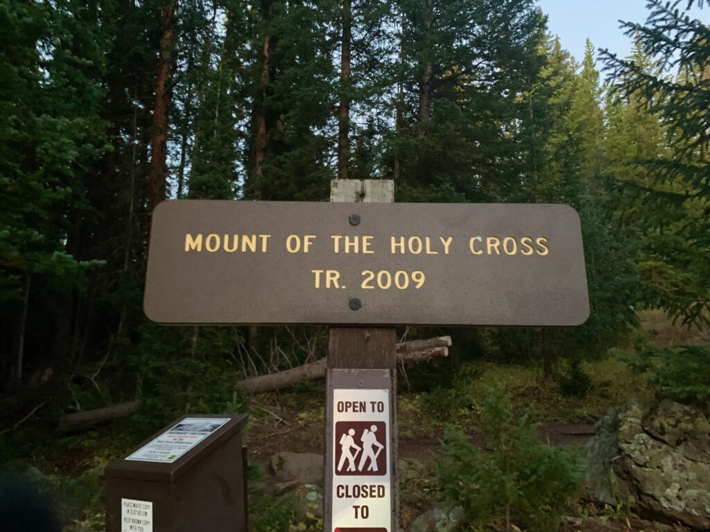
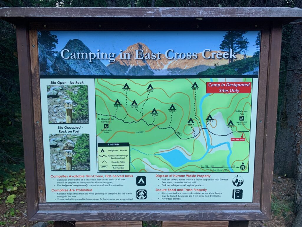
As I discovered, it is also one of the more demanding fourteener hikes you can do. I believe it’s the toughest one I have personally done. It’s not a technical climb and at 11.5 miles, it’s not all that long, but what makes it difficult is the amount of vertical involved. There’s a total of 5,600 feet of climbing over that 11.5 miles and that doesn’t count a thousand-foot descent in the middle of it. Meaning that the 5,600 feet of vertical is actually is spread over even less mileage. Translation: it’s steep. It’s a hike that many people choose to do over two days, camping overnight at the East Cross Creek campground. Not being inclined to camp, my plan was to knock it out in a day. Vertical be damned!
Starting out at the trailhead at the end of Tigiwon Road in the White River National Forest.
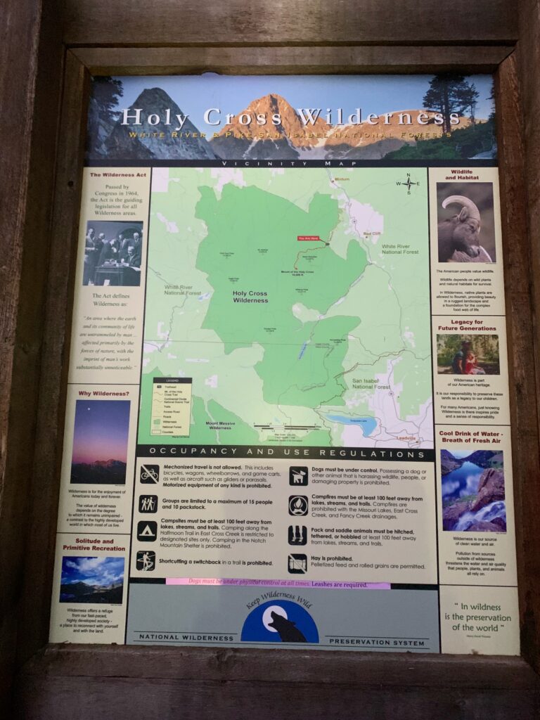
The main thing that makes this hike so difficult is that before you can climb Holy Cross you first have to climb up and over Half Moon pass to get to Holy Cross. The thousand-foot descent mentioned above is the hike down the west side of Half Moon pass to East Cross Creek. Which means that on your return you have to regain that extra thousand feet of vertical to get back to your car.
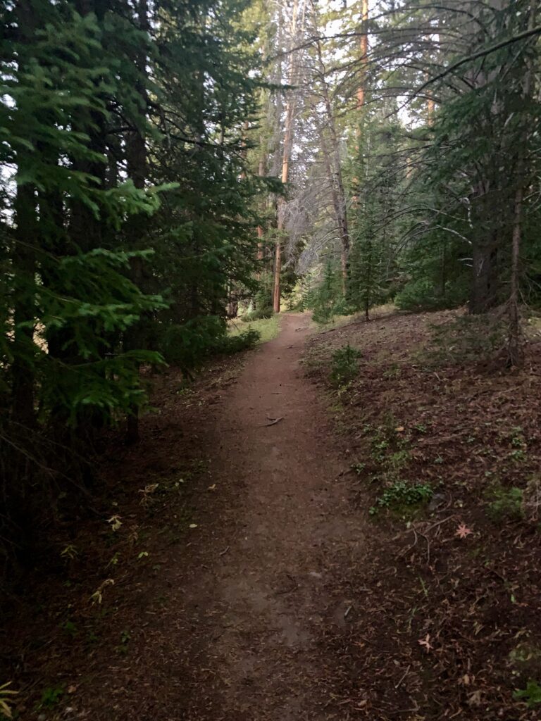
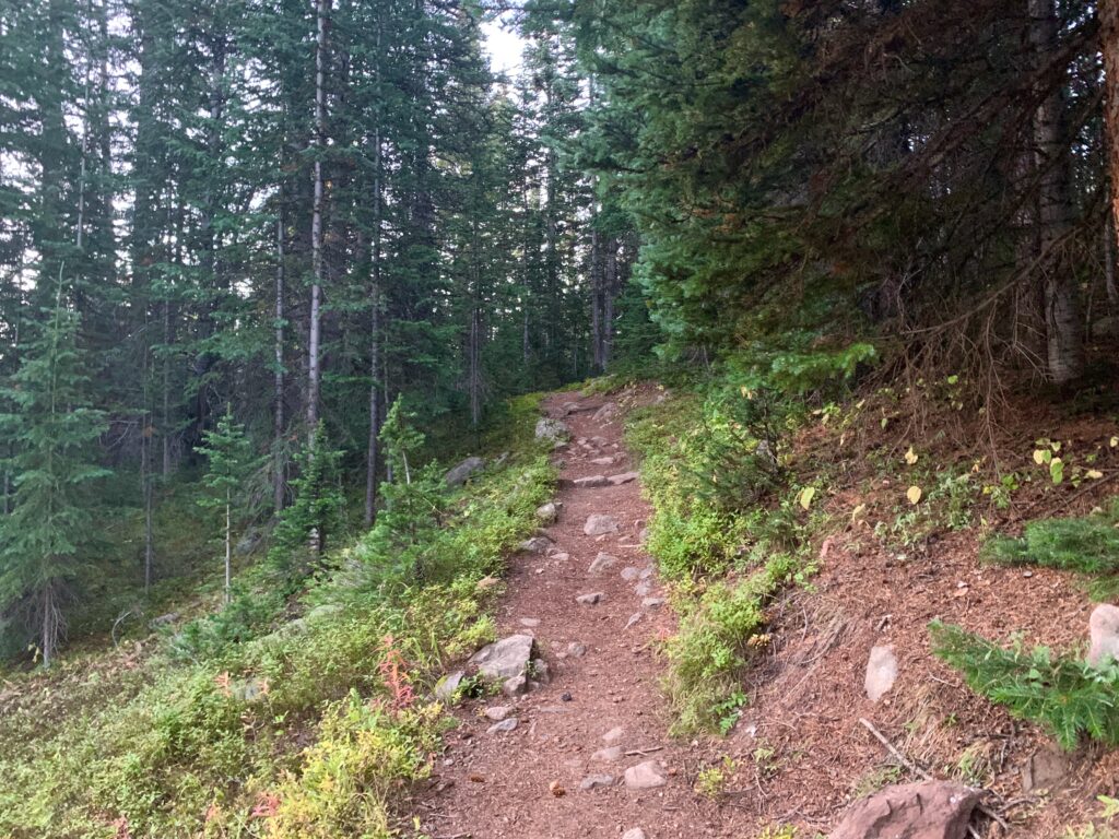
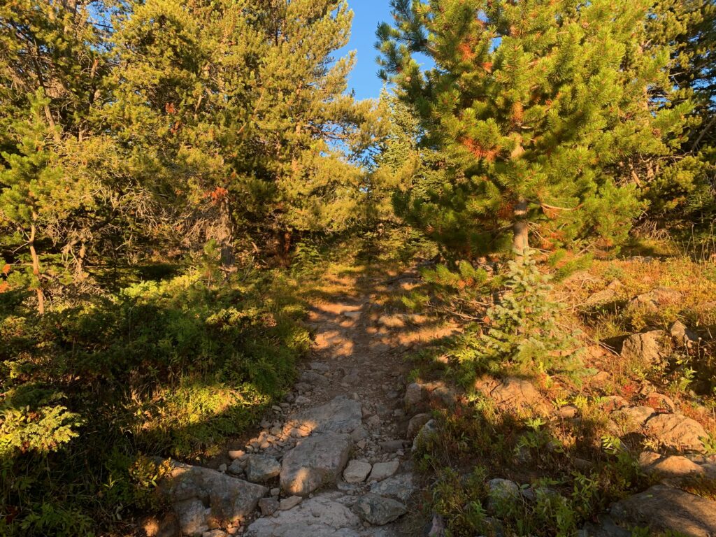
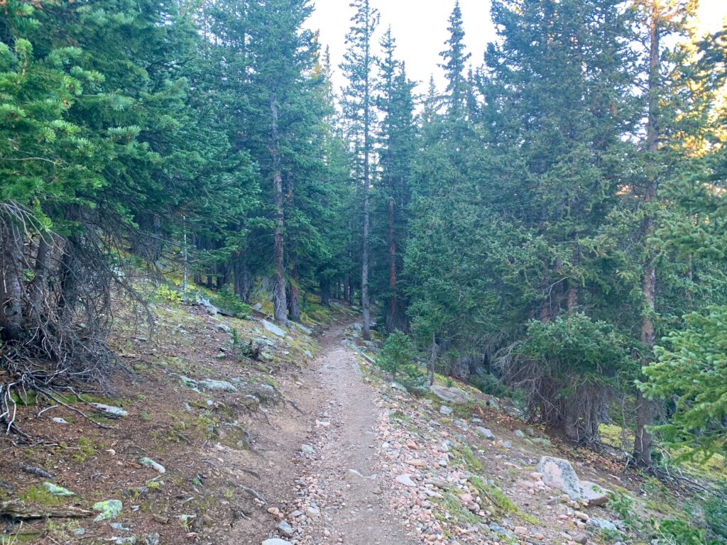
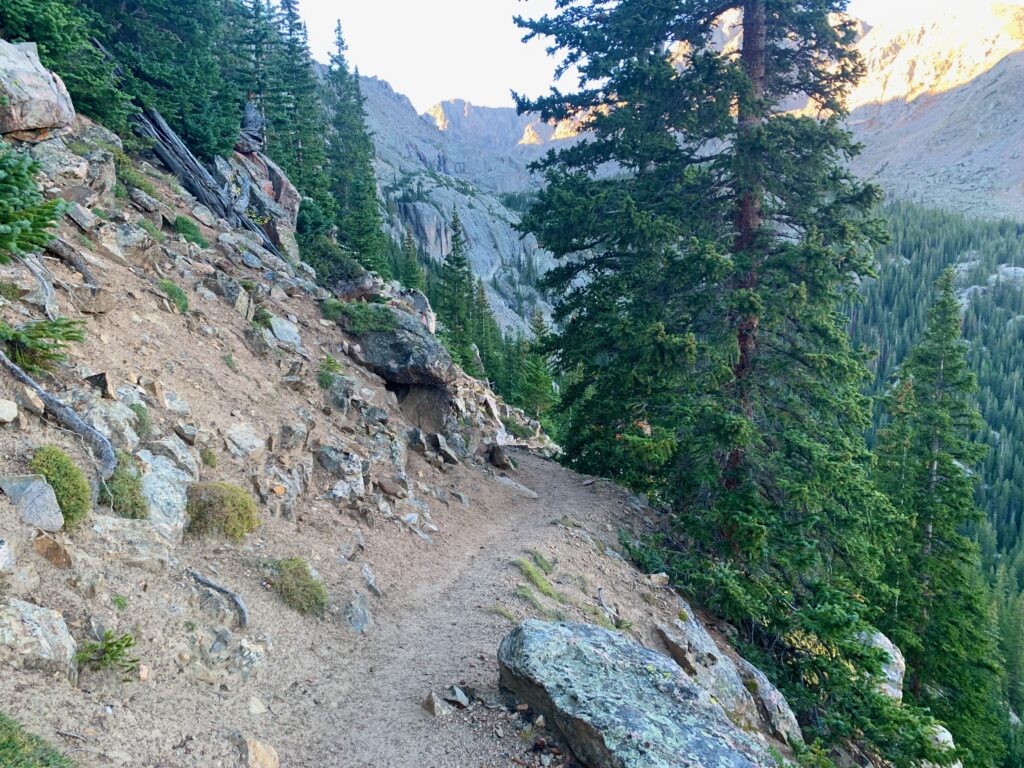
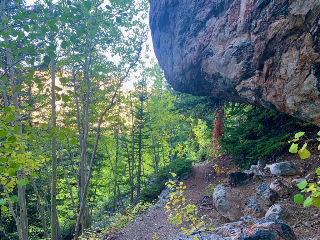
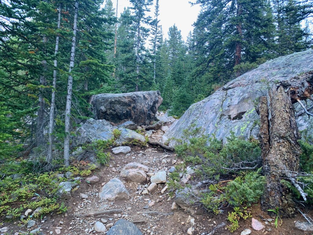
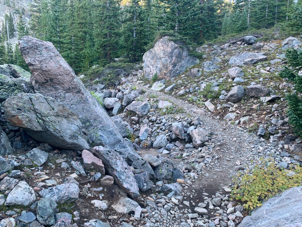
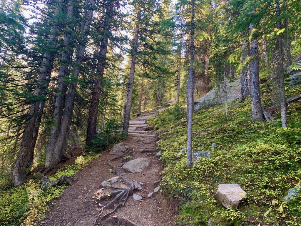
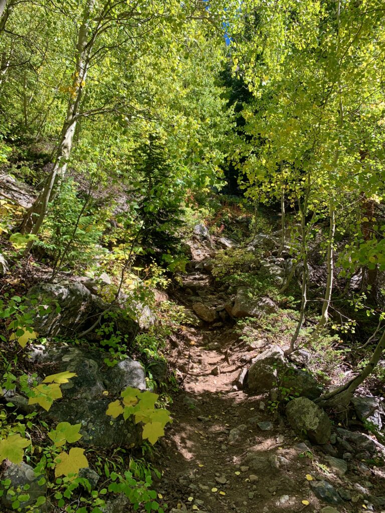
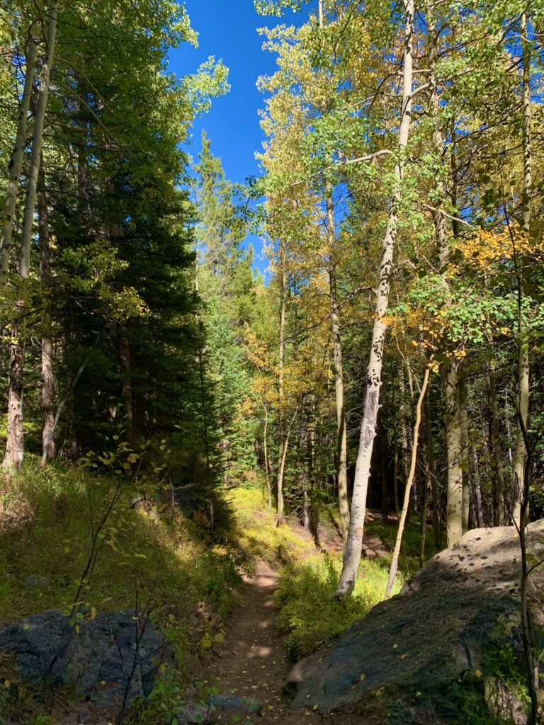
The first part of the climb is through thick forest. The trail starts out mellow enough but gradually gets steeper and rockier.
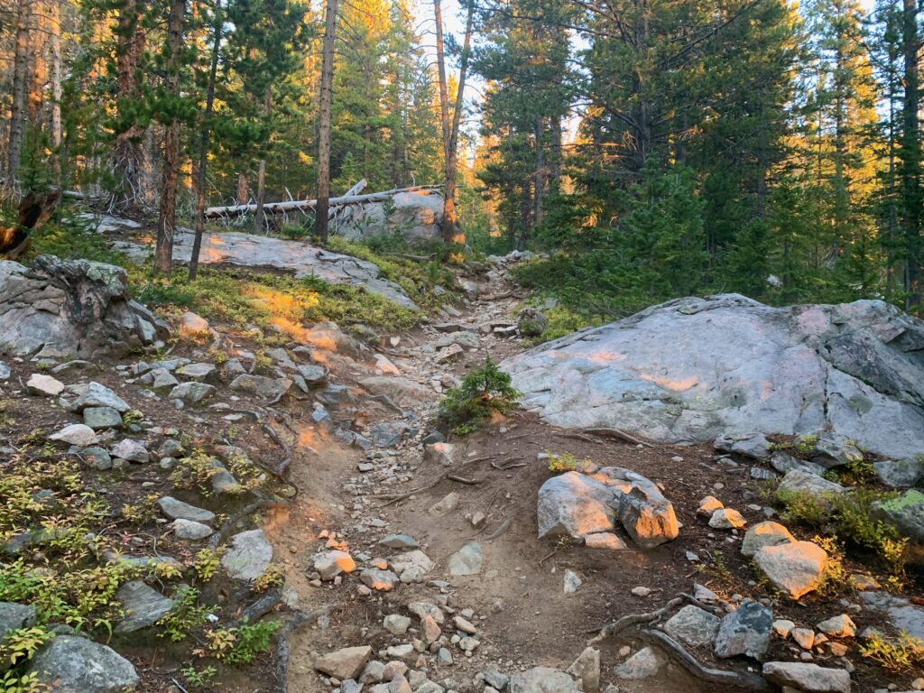
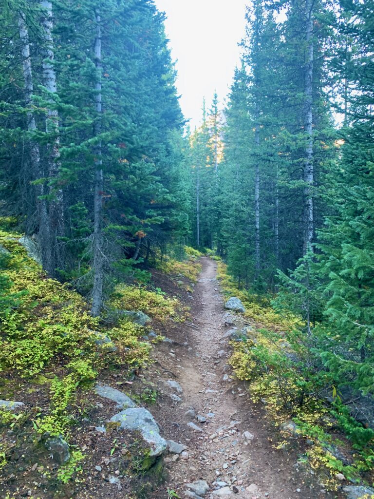
Higher up, breaking into the morning sun.
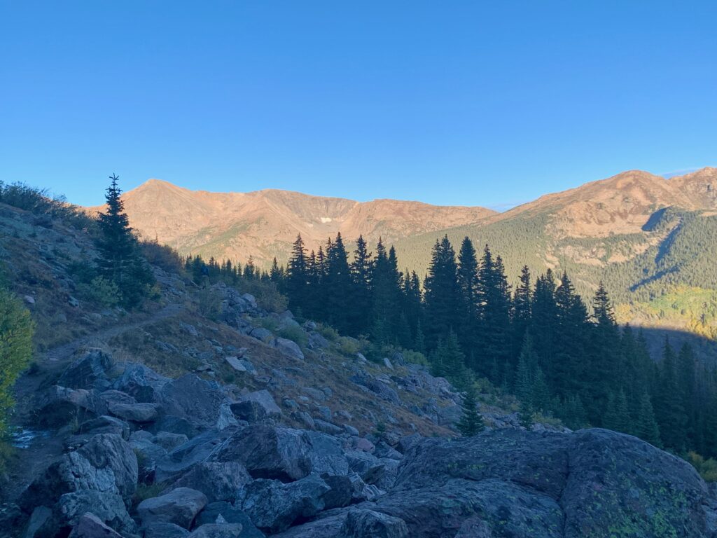
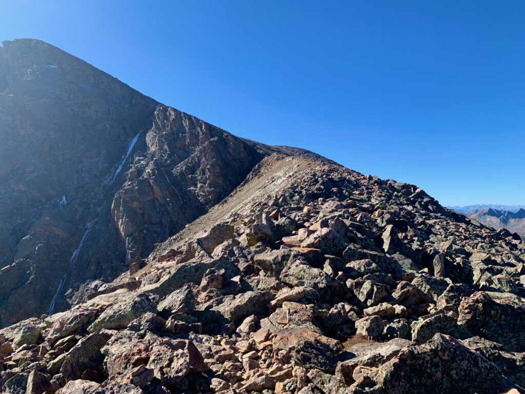
The north flank of Notch Mountain from Half Moon pass.
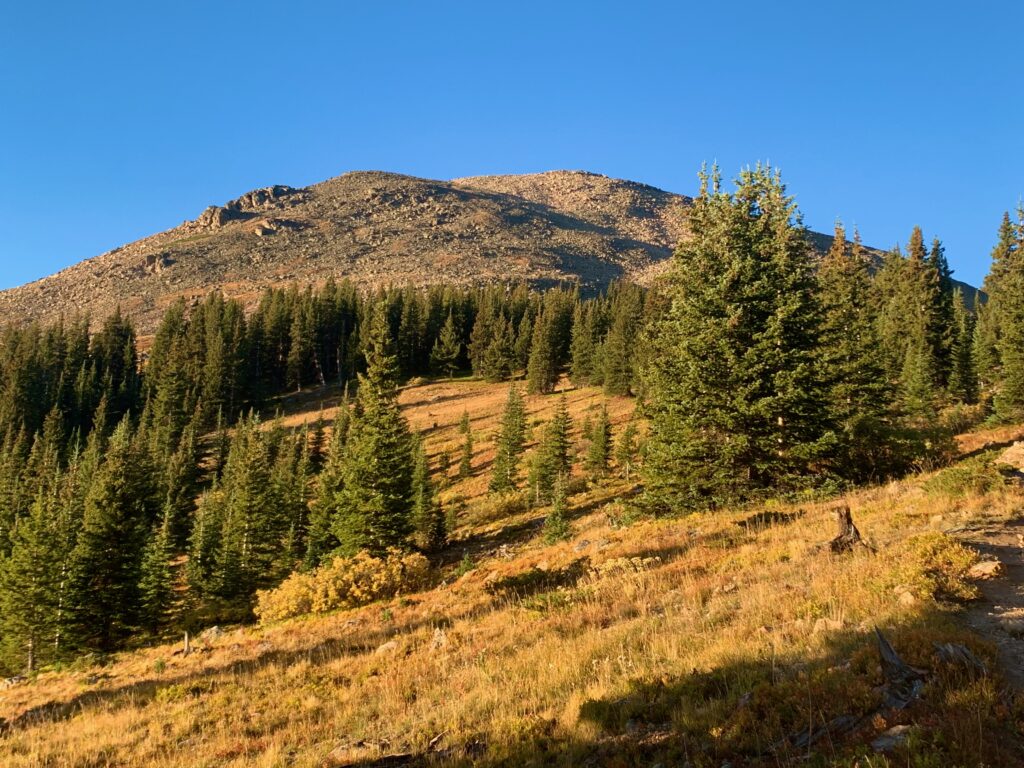
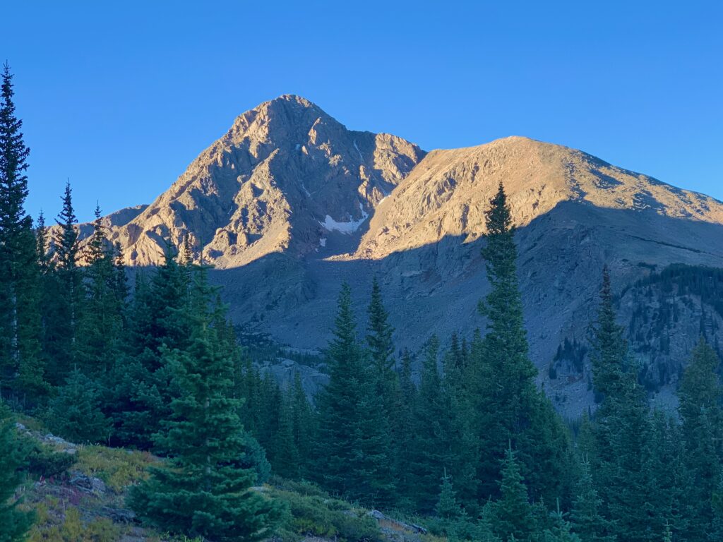
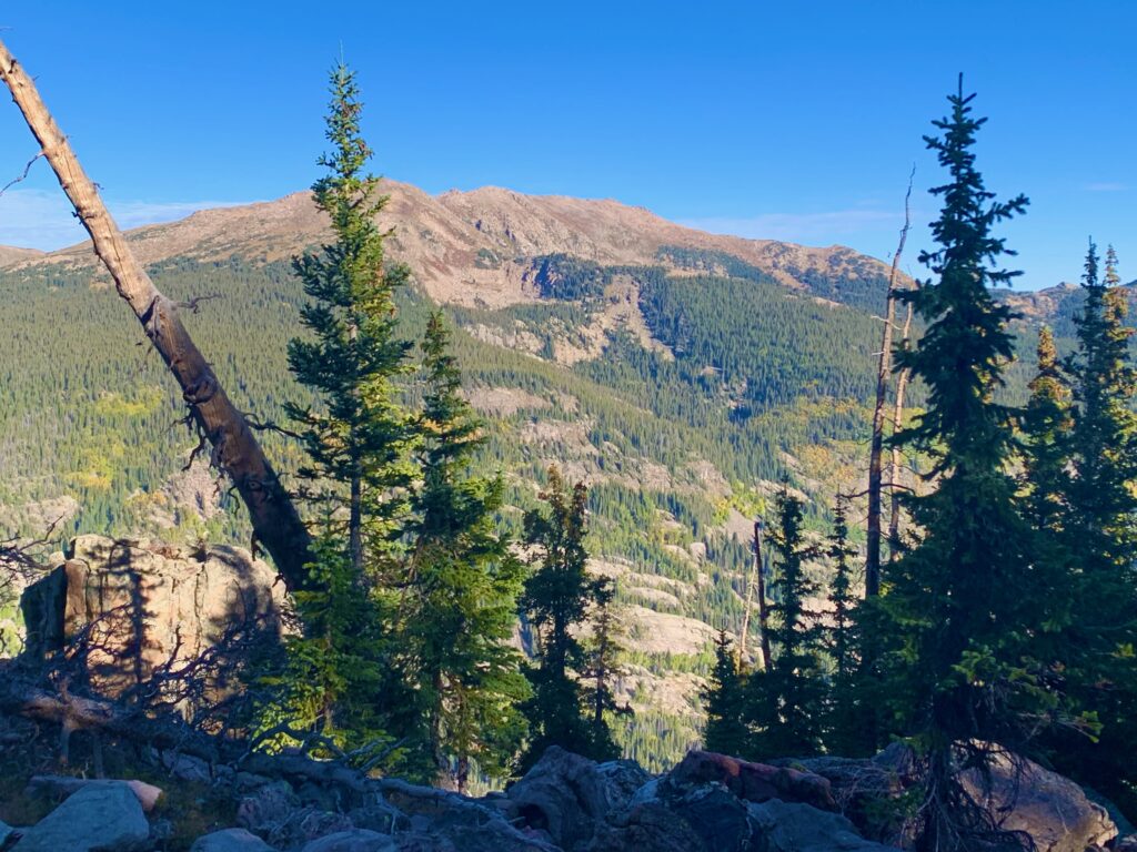
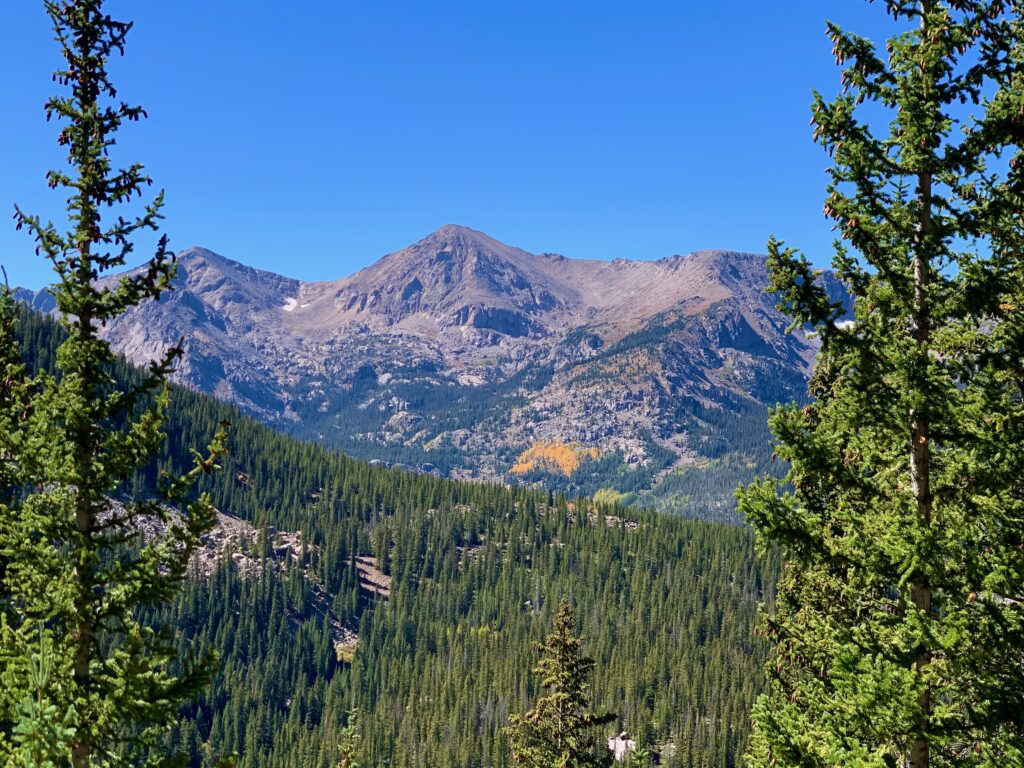
At the top of Half Moon Pass Mt. Jackson and the basin to the west comes into view.
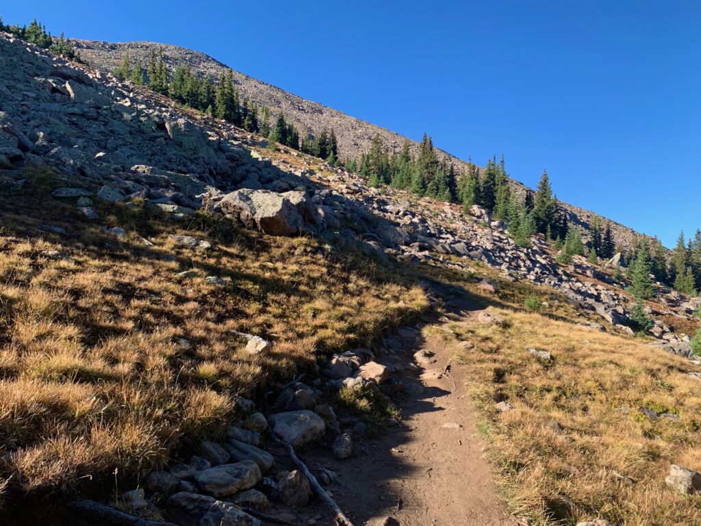
Starting the descent to East Cross Creek.
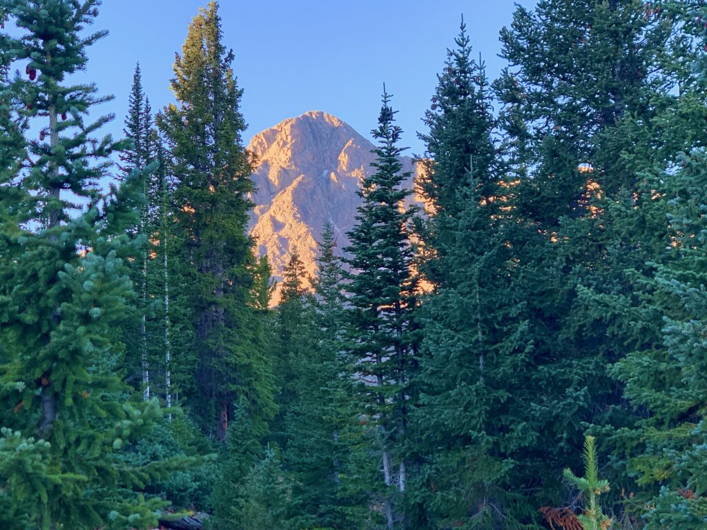
After a half mile or so of descending I came around a bend and got my first glimpse of Holy Cross. I don’t use the term “majestic” very often because it’s a ridiculous word for the things we typically encounter on a daily basis. What in life possibly reaches that level of awe-inspiring grandeur? But when I rounded the corner and saw Holy Cross for the first time, majestic was the first word that came to mind.
The trail begins its steep, switchbacking descent down the cliff face to East Cross Creek.
All the while, Holy Cross towers above.
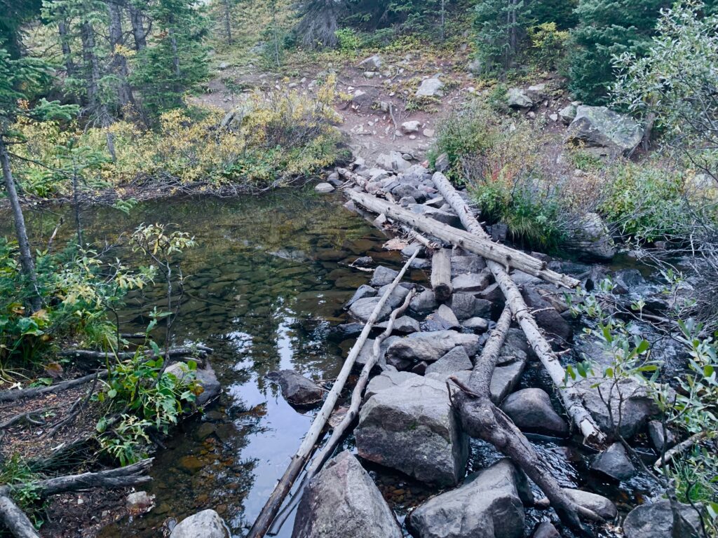
Down at the creek and the lovely East Cross Creek campground.
At this point I’d been hiking for an hour and a half but the actual climb of Holy Cross hadn’t even started. From the campground, the trail tips up sharply through the forest above East Cross Creek. Now I was climbing Holy Cross.
Breaking above tree line, Grouse Mountain comes into view to the north.
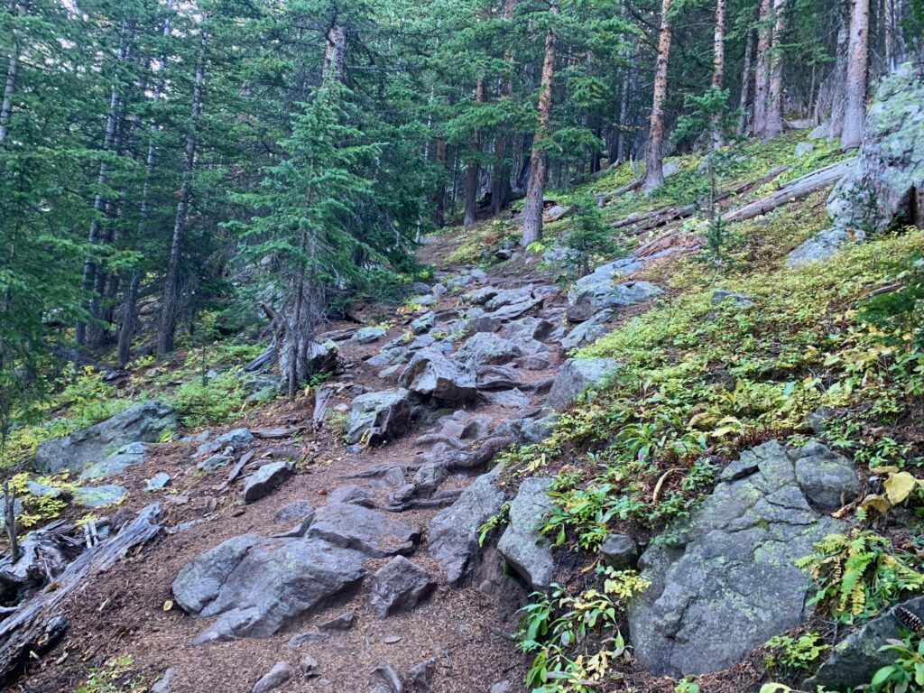
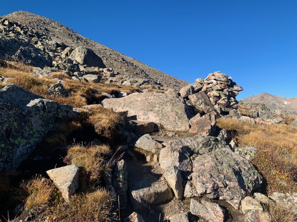
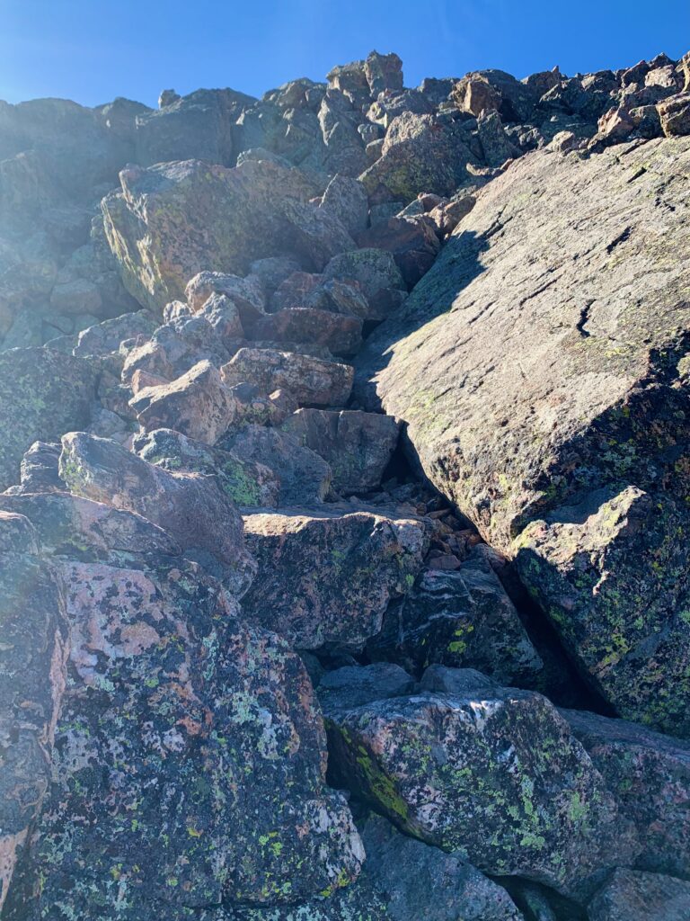
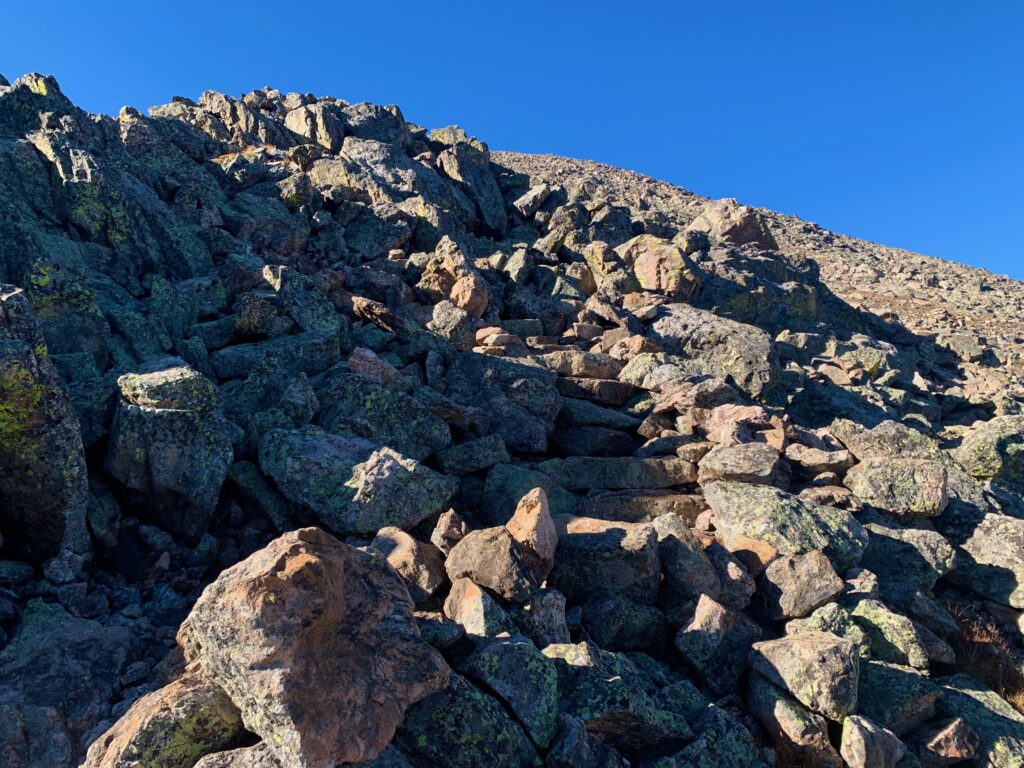
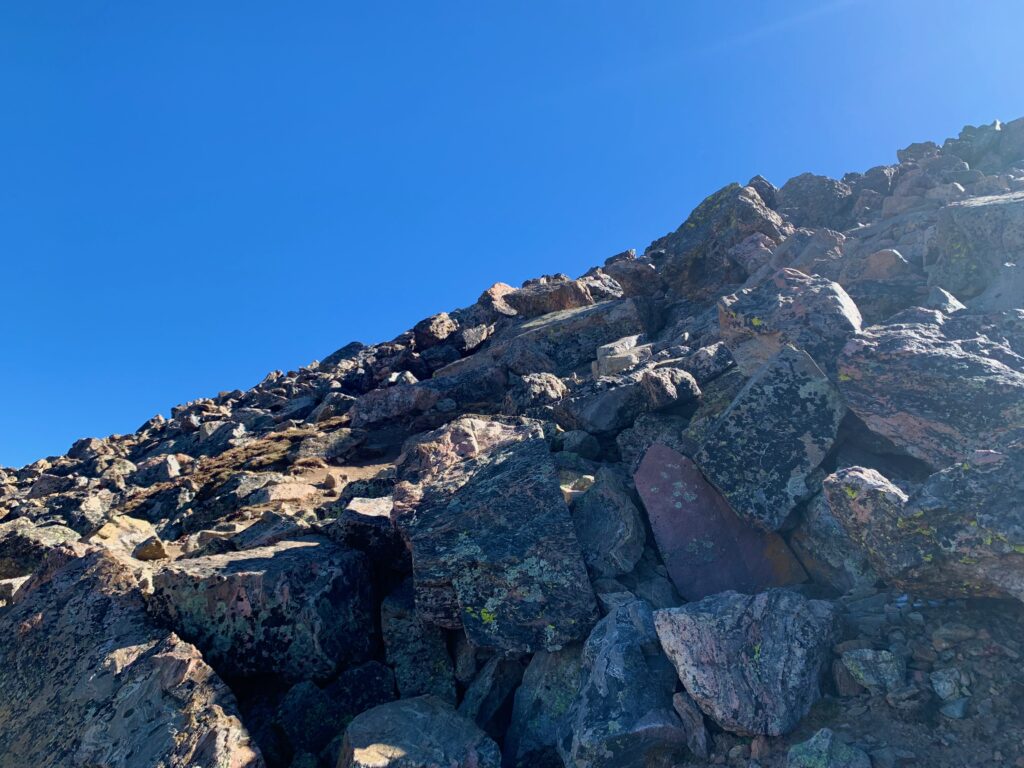
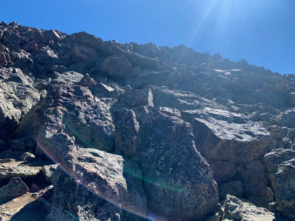
Above timberline I officially began the stair segment of the hike. There has clearly been a lot of work to build the rock steps on this section of the trail but lord, I have never experienced such unrelenting steepness in my life. Like climbing the stairs of a 100-plus story office building. Brutal. At least the views were nice.
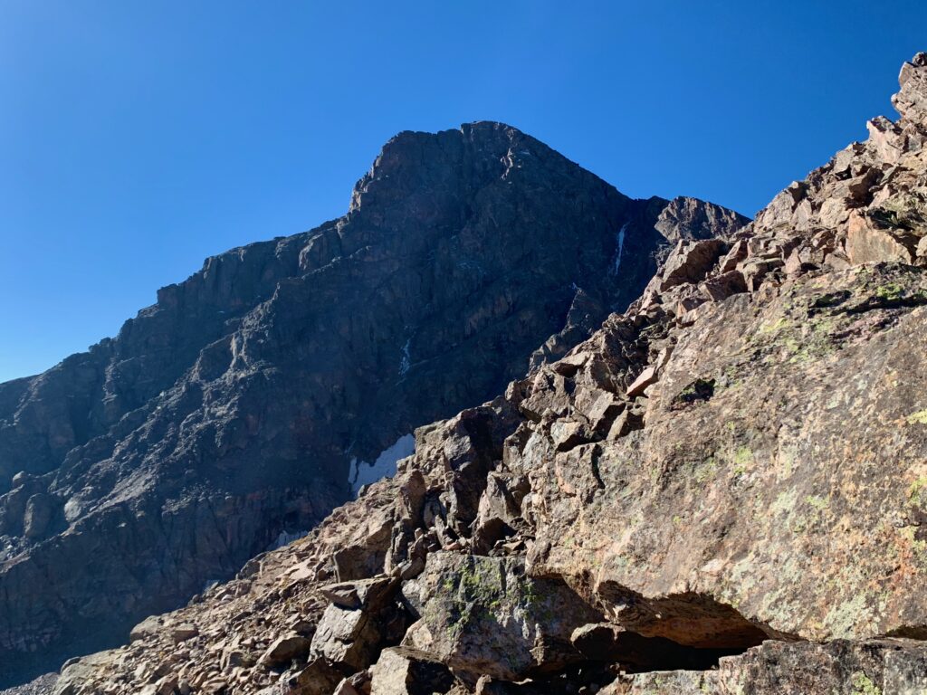
Approaching the top of the stair section, the summit, which had been hidden behind the steep terrain, comes back into view. The small strip of snow on the lower right of the summit block is the Angelica Couloir. The Cross Couloir is not visible from this angle.
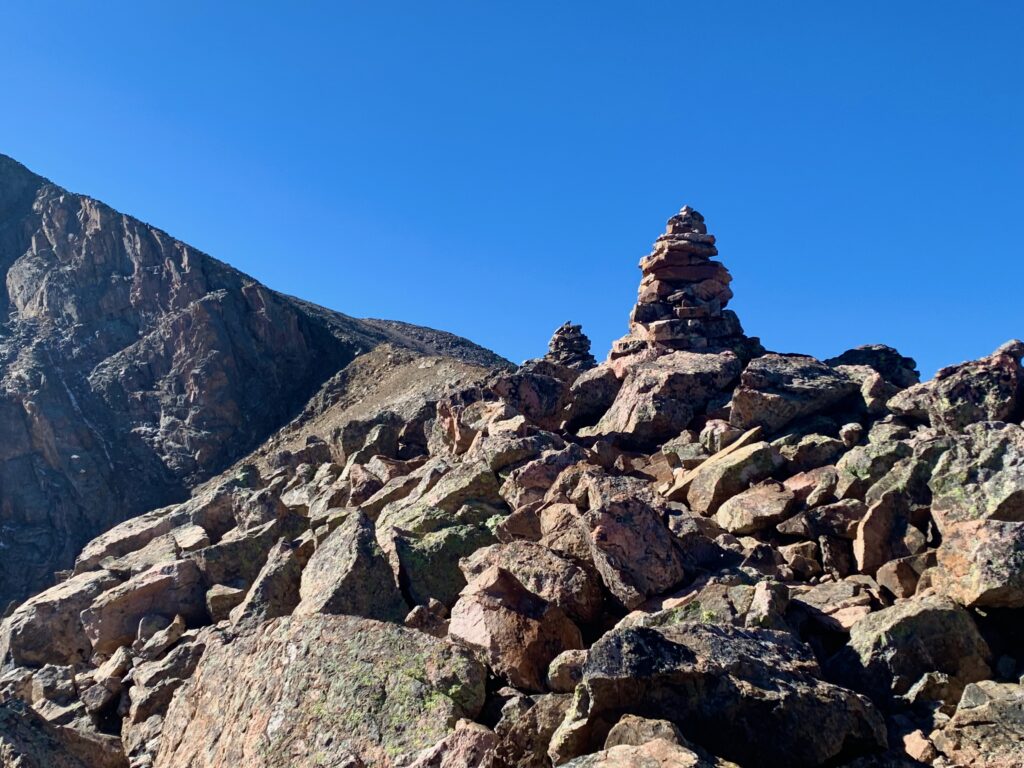
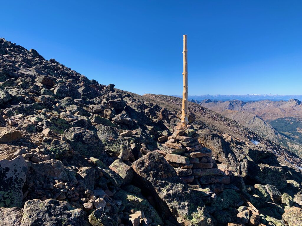
The saddle connecting to the upper summit block is the first section of trail where the slope relents somewhat since leaving East Cross Creek. Huge cairns clearly mark the trail through the boulder field.
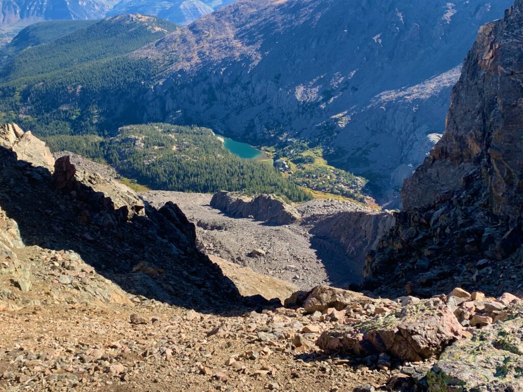
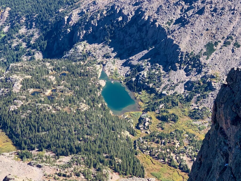
Lake Patricia from the top of the Angelica Couloir.
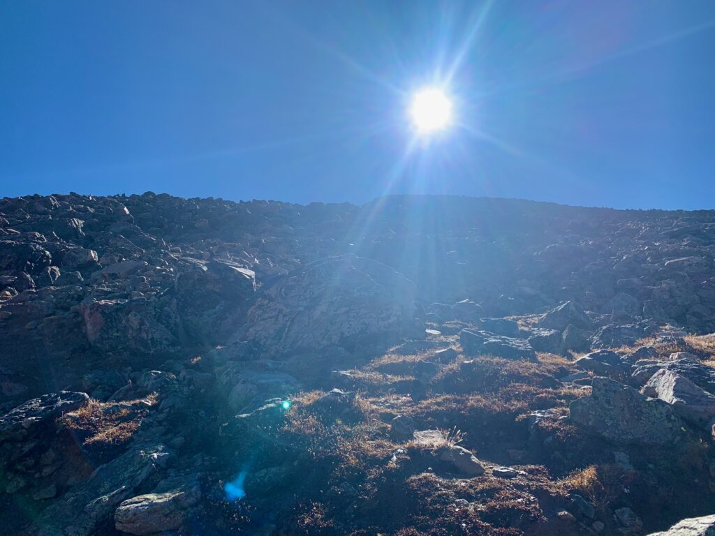
Climb to the sun! The upper slopes are, without a doubt, the steepest part of the climb but I found them more enjoyable than the stair section because you’re using both hands and feet to scramble up and over huge boulders. On this section the cairns are equipped with large sticks to make them visible from below.
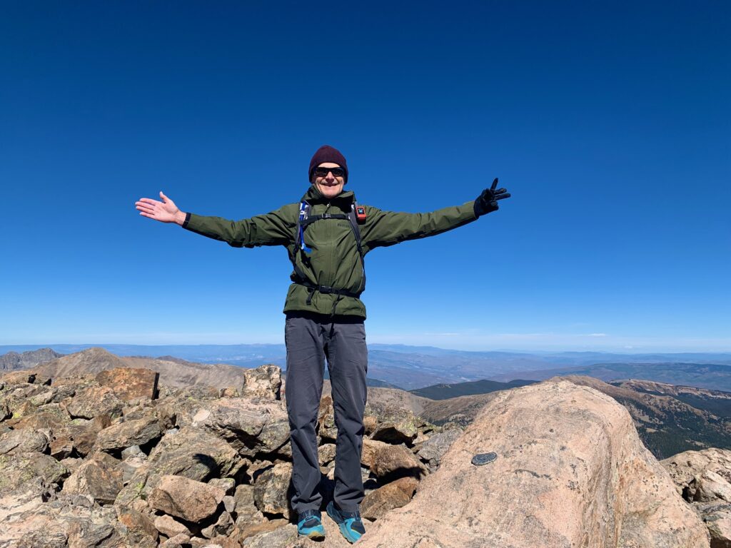
Summit, with me doing my best cross impersonation, I guess.
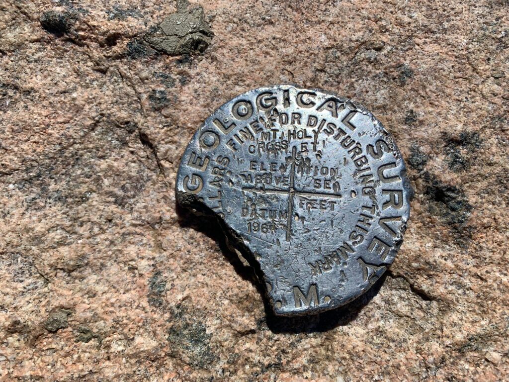
Summit marker dating back to 1961. Someone scraped off the elevation. The latest LIDAR reading has it officially at 14,007 feet.
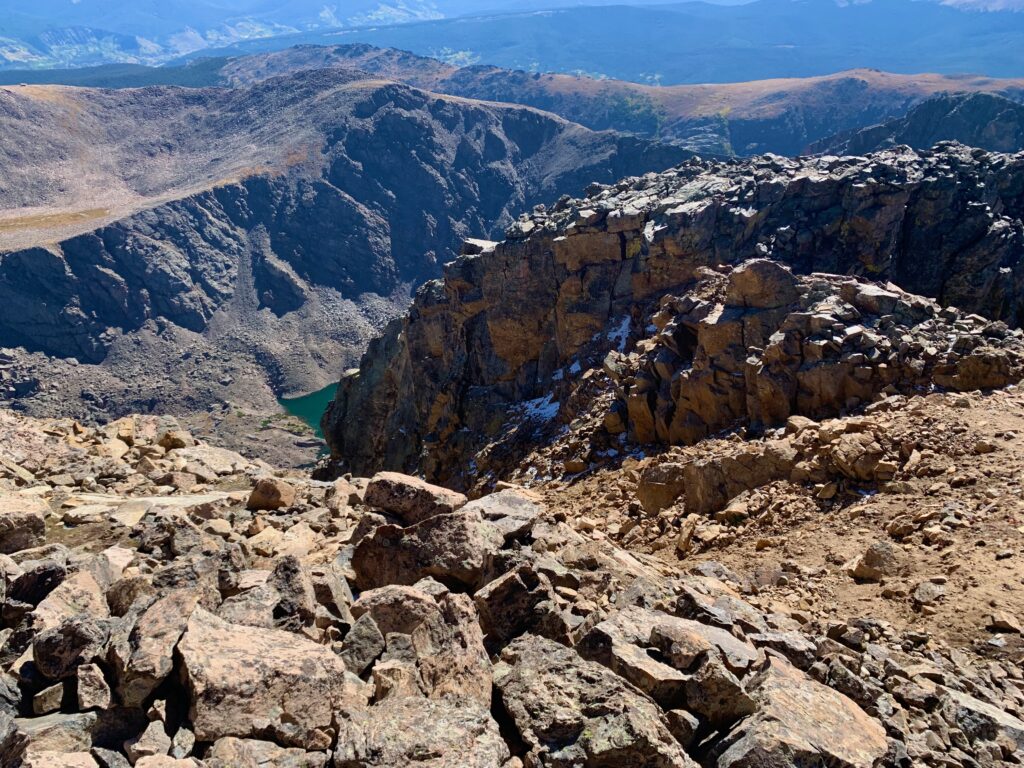
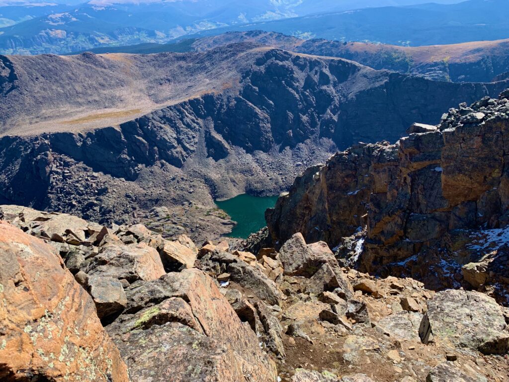
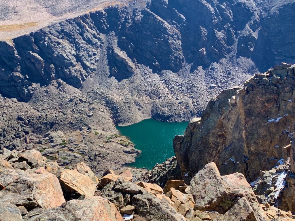
Looking down the Cross Couloir from the summit. The lake at the bottom is called the Bowl of Tears. Yes, that’s actually its name.
Due east is Notch Mountain and that observation hut built back in the 1930s.
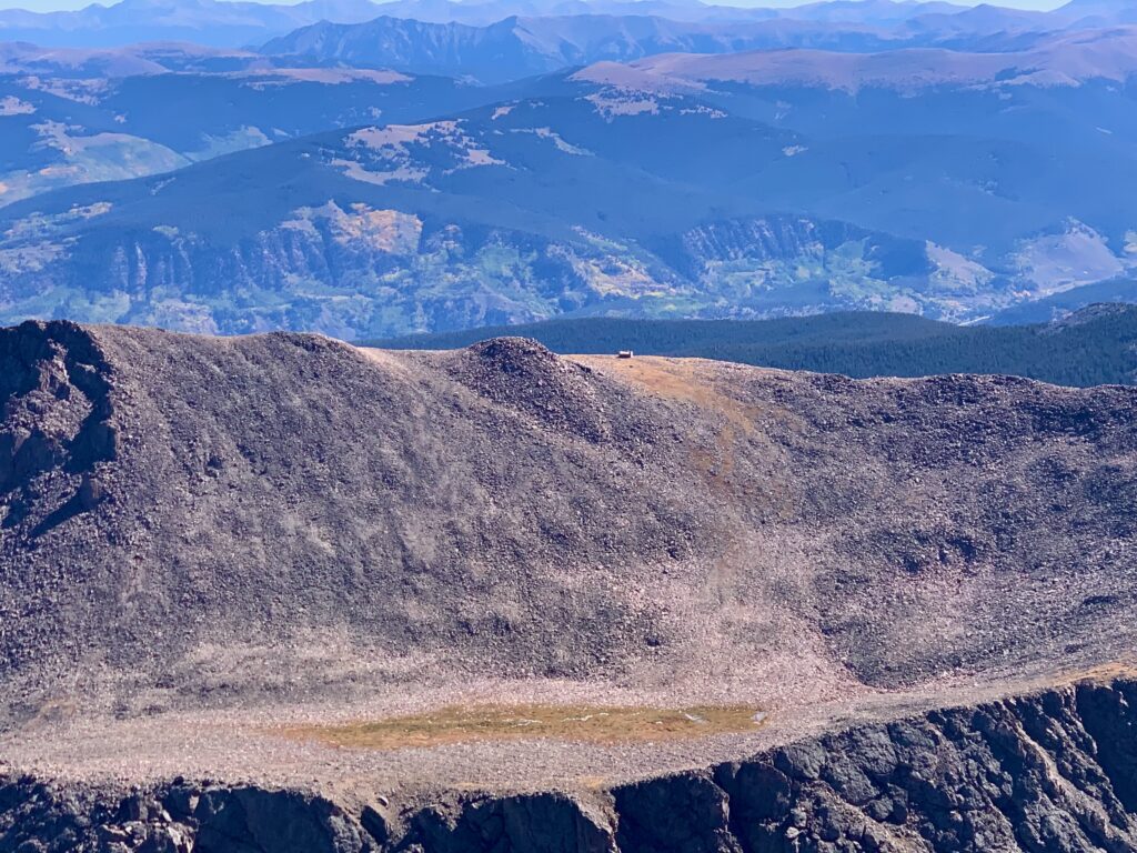
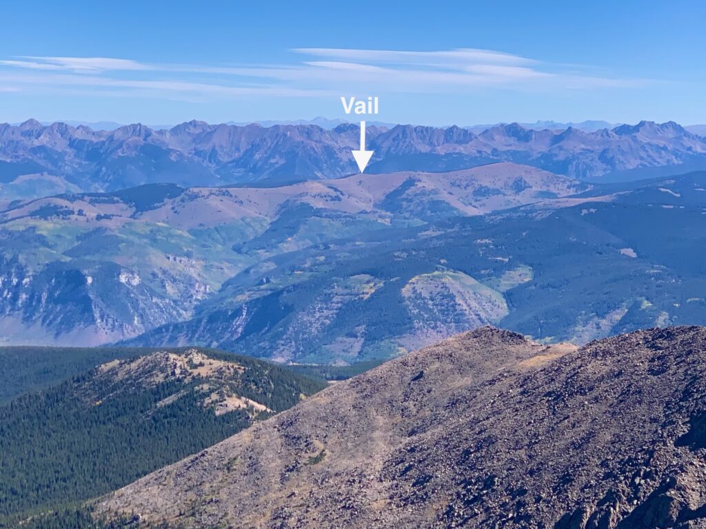
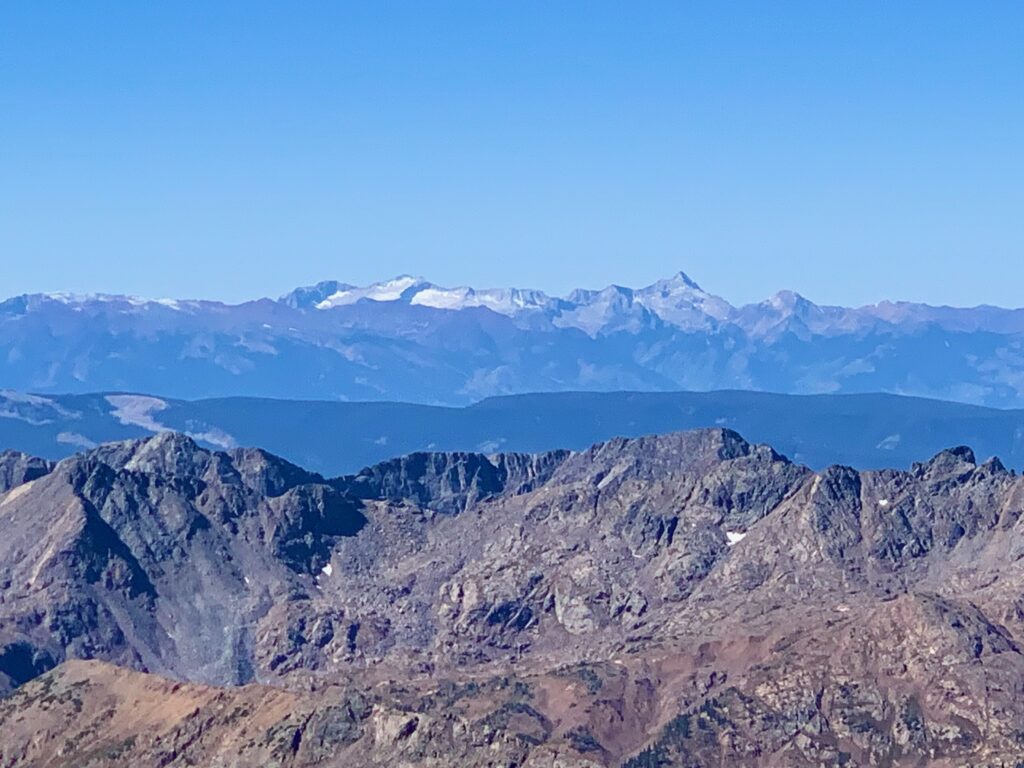
Northeast is the rugged Gore Range. The back bowls of Vail are visible in the foreground.
Ski Cooper to the southeast.
To the west are the Maroon Bells…
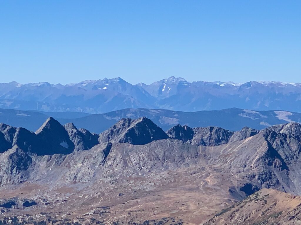
…Snowmass Mountain and Capitol Peak near Aspen.
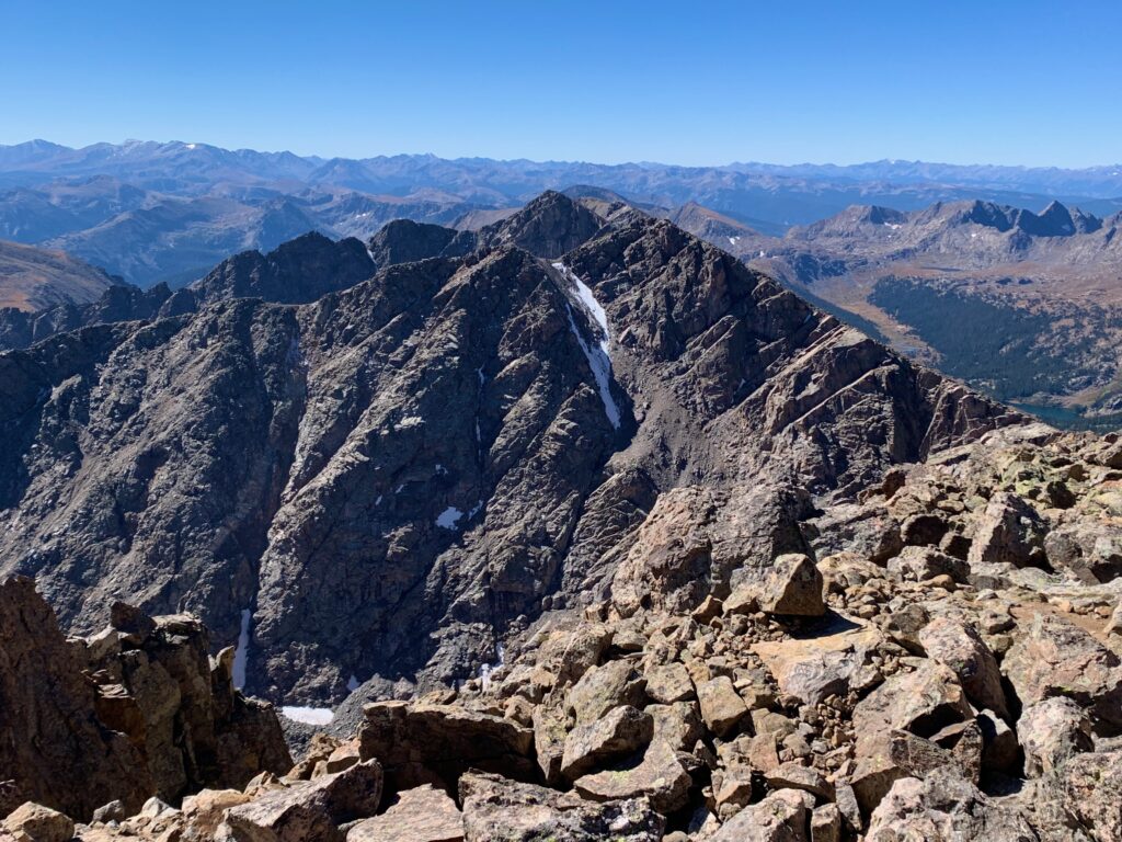
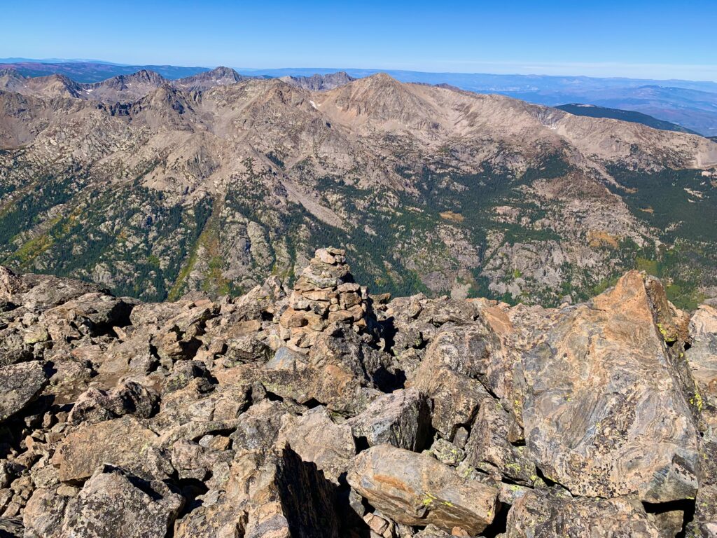
The rugged Holy Cross Ridge comes off the summit to the South. Big boys Mt. Elbert and Mt. Massive can be seen on the left horizon.
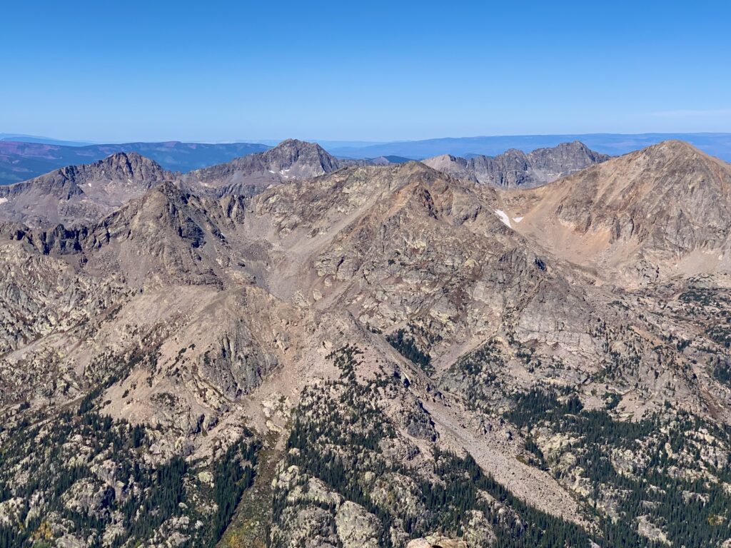
To the northwest are the trio of Pika, Gold Dust and Finnegan peaks. Mt. Jackson forms the ridge immediately in front of them.
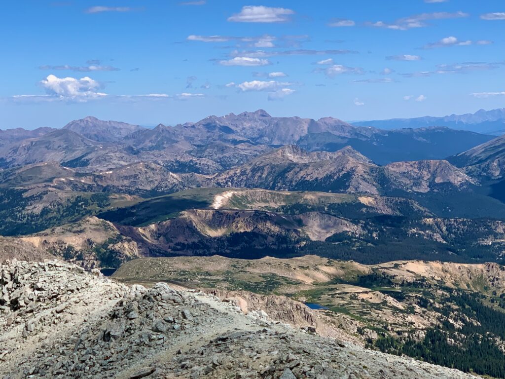
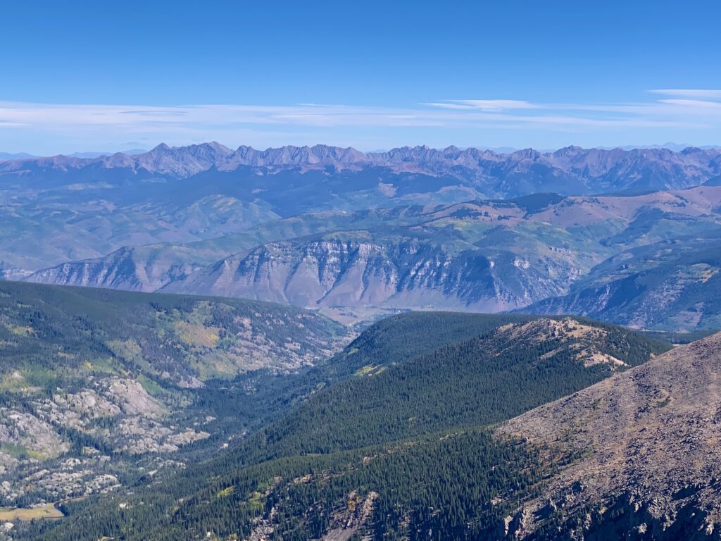
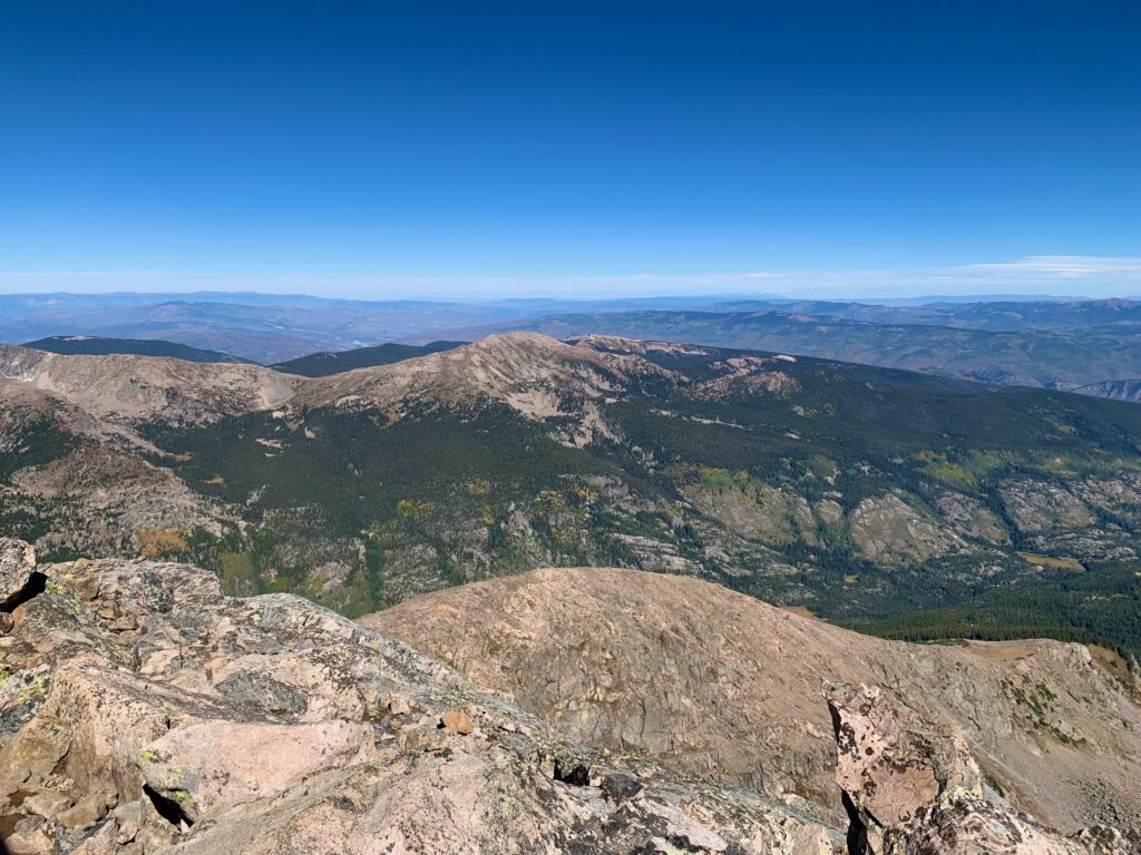
Grouse Mountain and points north. What’s interesting to me about this photo is how mellow the terrain looks compared to the terrain in every other direction. Holy Cross is clearly the northern end of the Sawatch range. Nothing but rolling hills beyond it.
Lake Patricia from the summit.
I spent some time on the summit chatting with my fellow hikers. I wasn’t the only glutton for punishment. There were three others doing Holy Cross as a day hike that day. But it was chilly up there! Despite the sun it was about 30 degrees and windy so we didn’t linger much longer than it took to snap a few photos and down a quick lunch.
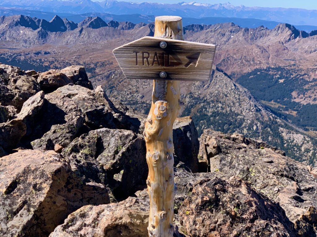
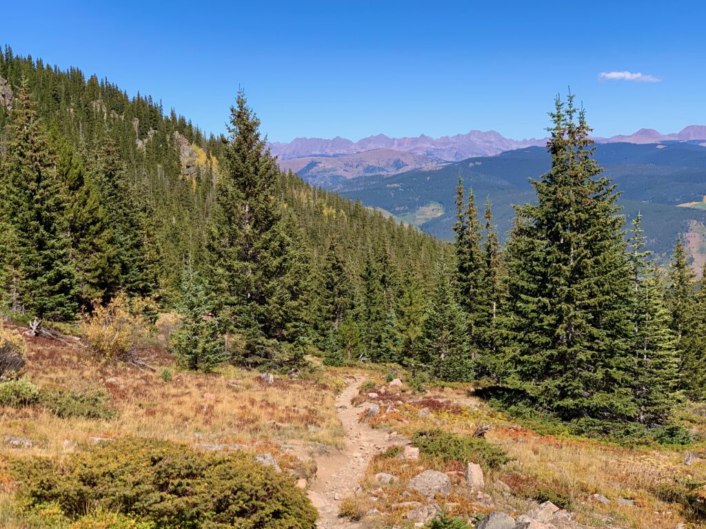
Heading back down following the sign and many cairns.
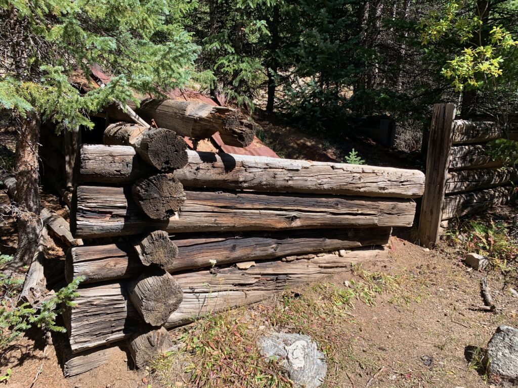
Back down at East Cross Creek I spotted an old abandoned cabin in the trees that I had missed on the way up in the morning.
Climbing back up Half Moon Pass from East Cross Creek.
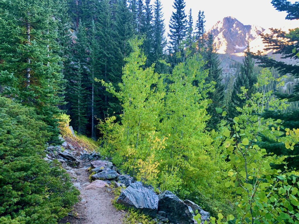
The fall colors are just starting to pop in the Rockies. I got to experience them first hand all the way back down Half Moon Pass.
All in all, it was a spectacular day. Tough, but definitely worth it. The problem with steep trails for me is not so much going up as it is going down. Don’t get me wrong, the ups are hard, but the downs are such a brutal pounding for knees, feet and toes. The round trip for this hike took me just under nine hours, which was an hour longer than the worst time I had projected, mainly because I was taking the downhills so slowly. By the time I got back to the car my whole body hurt. Now I understand why people bother to camp overnight and do Holy Cross in two days.
But what a stunning mountain and all-around beautiful place. I mean, if you’re going to spend all day doing something, might as well do it someplace gorgeous. I truly enjoyed it, despite the effort involved. Funny how that works. And with my climb of Holy Cross, I’ve now completed all 15 fourteeners in the Sawatch Range, so milestone accomplished.
Good Job Mike! Thanks for the pics and excellent information….made me feel like I was climbing that mountain with you. I hiked it many years ago – spectacular!!
Yep. Spectacular, majestic, all those words work to describe Holy Cross!