Peak bagging is a strange pastime. Getting up at gawdawful hours of the morning, driving all over the state to spend all day walking up and down steep slopes until your toenails turn black all because a mountain appears on some arbitrary list. Is a 13,000-foot mountain less worthy of climbing than a 14,000-foot mountain? No. But the 14,000-foot mountain is on a list. Actually, the 13,000-foot mountain is on a list too, a different list. But one list at a time.
Back in 2011 when Ms. Seeking and I climbed our first 14er we didn’t have any goals in mind other than having fun on our vacation. We had heard about the 14ers, knew people climbed them and thought it sounded like a worthwhile adventure. We bought a guidebook, daypacks and some hiking poles and headed out, not really knowing what to expect. Mt. Shavano was our objective because, well, when you’re in Salida it’s right there. And although Shavano is a long hike, it’s non-technical and suitable for beginners. In fact, Shavano is frequently climbed together with its neighbor to the northwest, Tabeguache Peak.
We headed out full of enthusiasm, but as I remember, we got a later start than we wanted and coming from sea level we struggled with the altitude and were helplessly slow. By the time we reached the summit, it was well after noon. We thoroughly enjoyed our first 14er but we were tired and it was time to turn around. Tabeguache would have to wait.
Eleven years and several 14ers later, here I am keeping a list of mountains I’ve climbed and ones I want to climb and I realized that to complete the 14ers in the Sawatch range at some point I need to go back and get Tabeguache. But inconveniently, the standard route on Tabeguache involves the not-insignificant issue of re-summiting Shavano. There is another route from the west but it’s loose and dangerous and even less appealing. So to climb Tabeguache, I was looking at an 11 mile and 5,600-foot vertical day. With so many other mountains to climb it was hard to get enthused about Tabeguache and I had been putting put off climbing it since we moved to Salida.
Then a couple of weeks ago I got an email from a friend in Houston who was coming to Salida with some of his friends from our old neighborhood. They were planning a hike of Shavano and Tabeguache and asked if I would like to join them. The timing fit with my plans, the weather looked favorable and I figured re-climbing Shavano with a group would be more fun than doing the whole thing over as a solo slog. I was in.
We started from the Blank Cabin trailhead. It’s September and the days are getting shorter so our 5:30 a.m. start meant an hour or so of hiking in the dark. Flashlights and a little stumbling around were required. The Mt. Shavano / Tabeguache Peak trailhead sign, taken in the light of the afternoon.
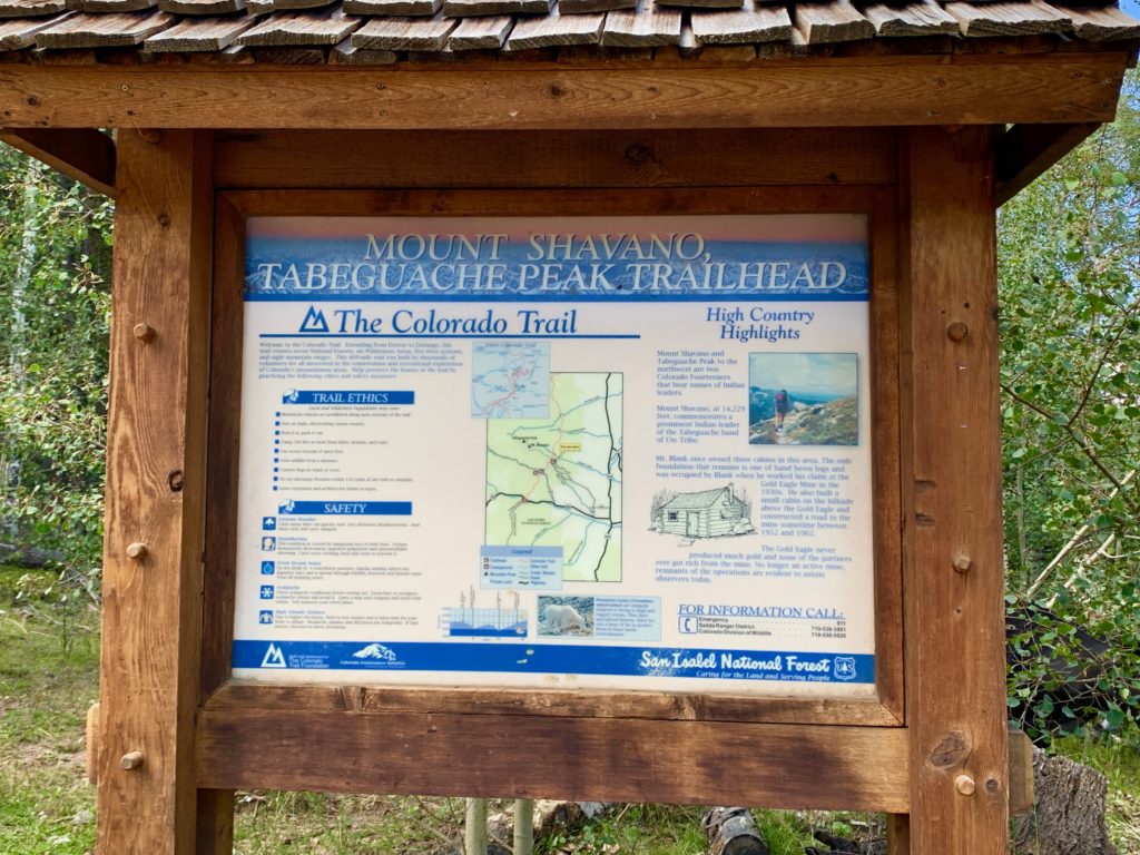
The hike starts out relatively flat on the Colorado trail for a quarter mile. The climbing starts in earnest at this sign. Also taken in the afternoon.

Our group heading up the rocky trail.
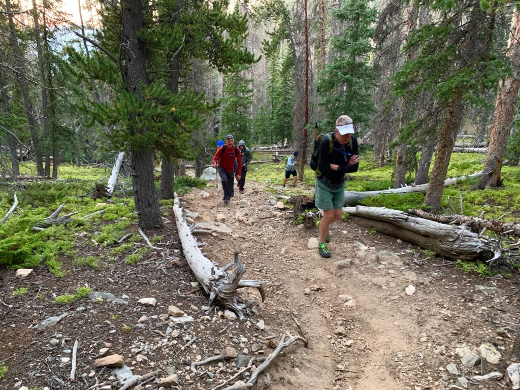

Taking a break in the morning sun.

The Colorado Fourteeners Initiative (CFI) www.14ers.org have started a multi-year project to restore and re-route the Mt. Shavano trail. In this section they have installed dozens of log steps and created rock shoulder berms to smooth and stabilize the trail. Nice!
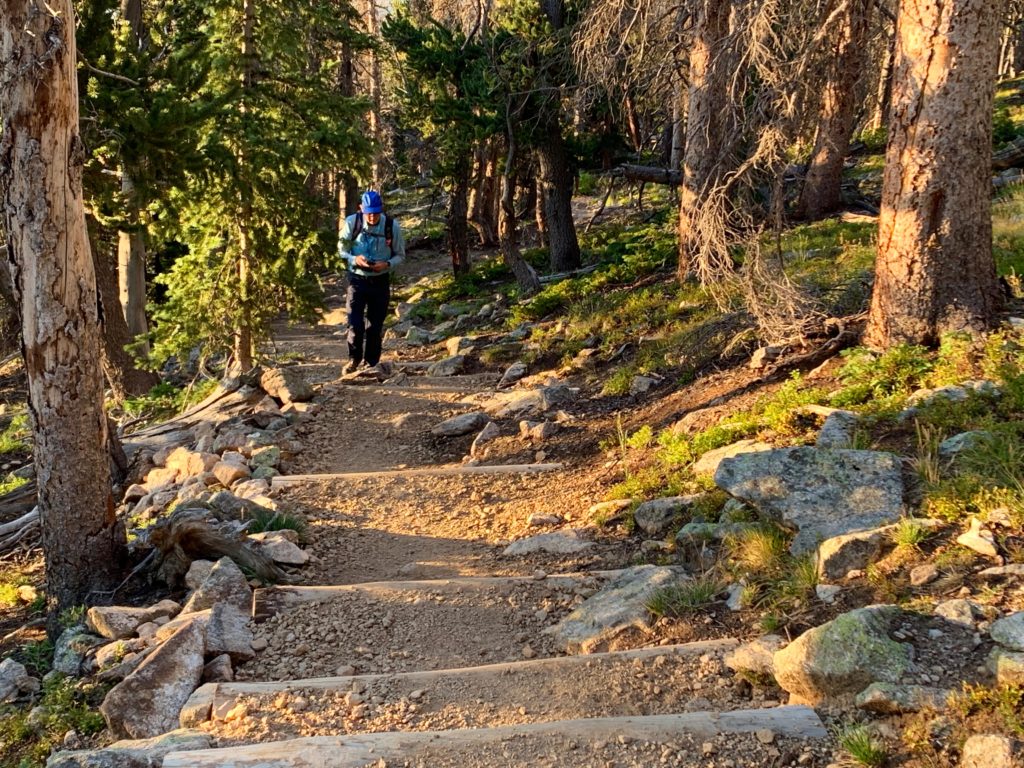
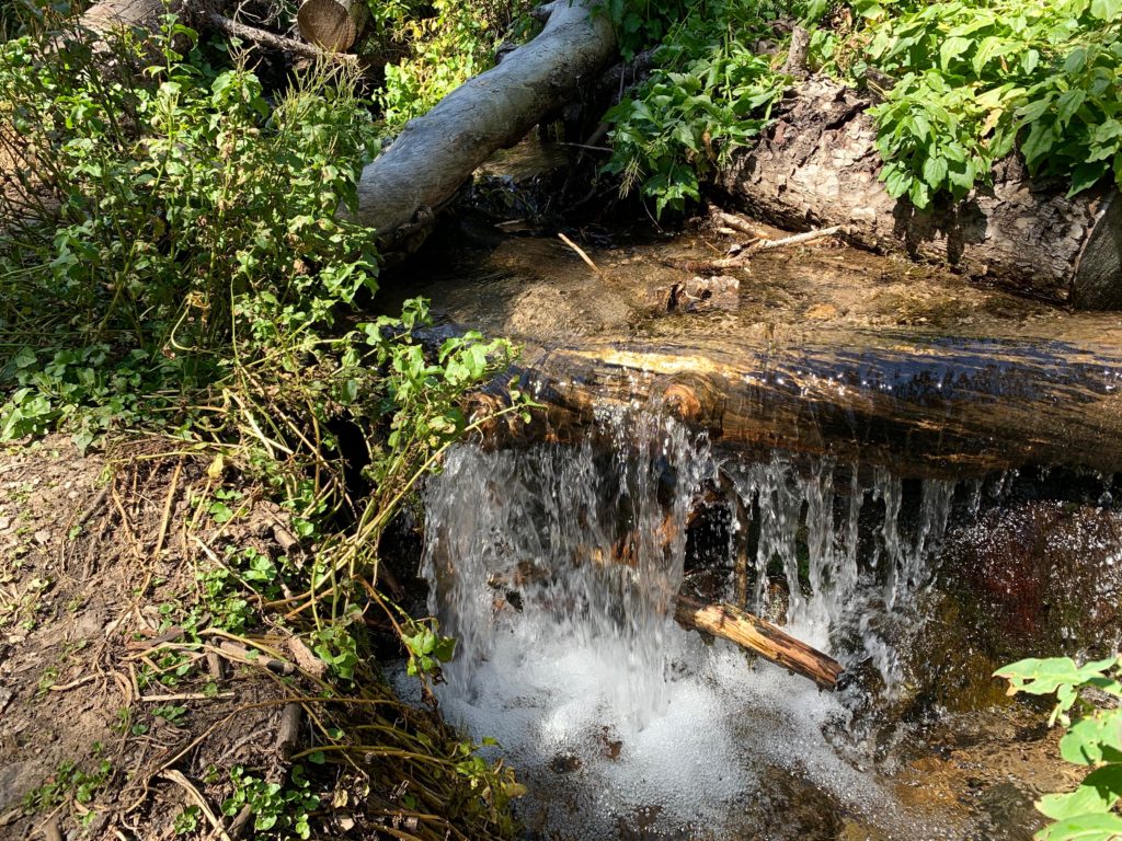
Small waterfall along the trail.
Nick leading the way.
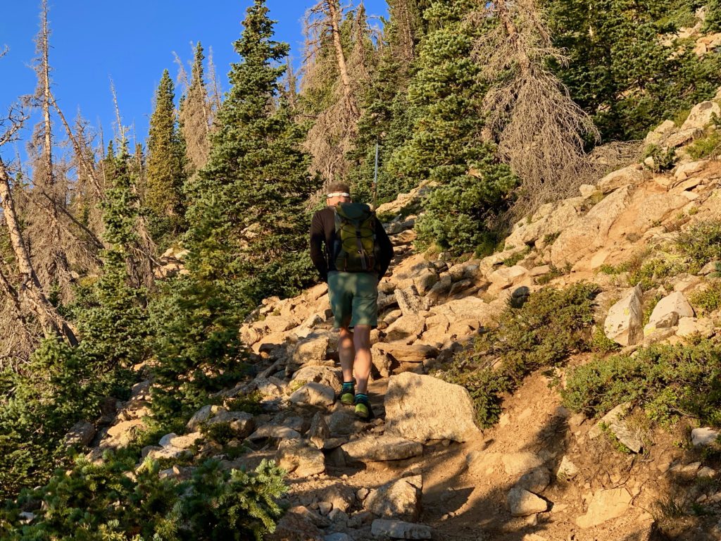
We reach timberline.

Flock of ptarmigans in the tundra. There was a dozen or more of them but they’re so stealthy they’re hard to see.
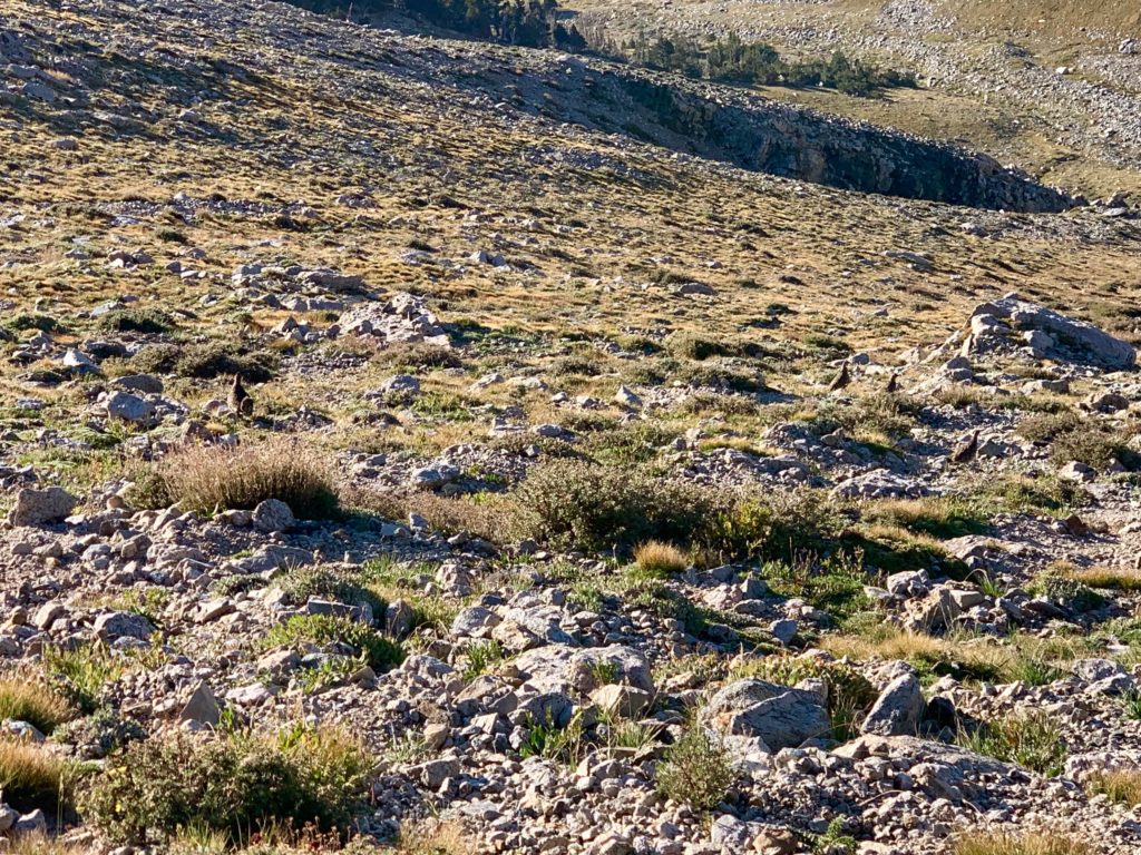
The next CFI work sight is a planned re-route of the trail leading up to Shavano’s saddle.

Heading up to the saddle.

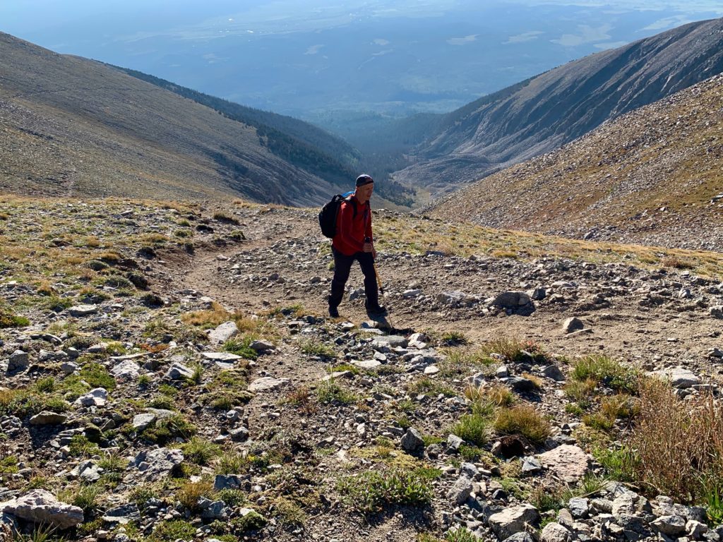
On the saddle, stopping for a break…
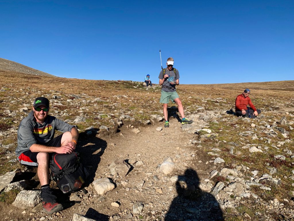
…with Shavano’s summit towering over us.
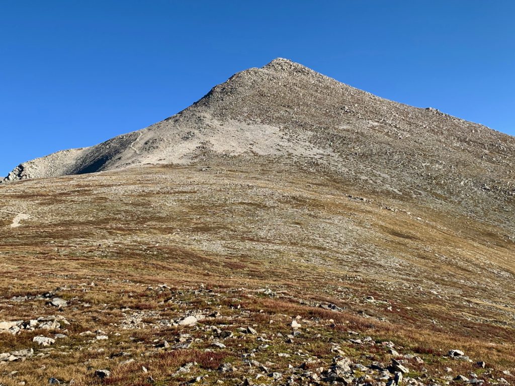
We start our approach to the summit pitch.
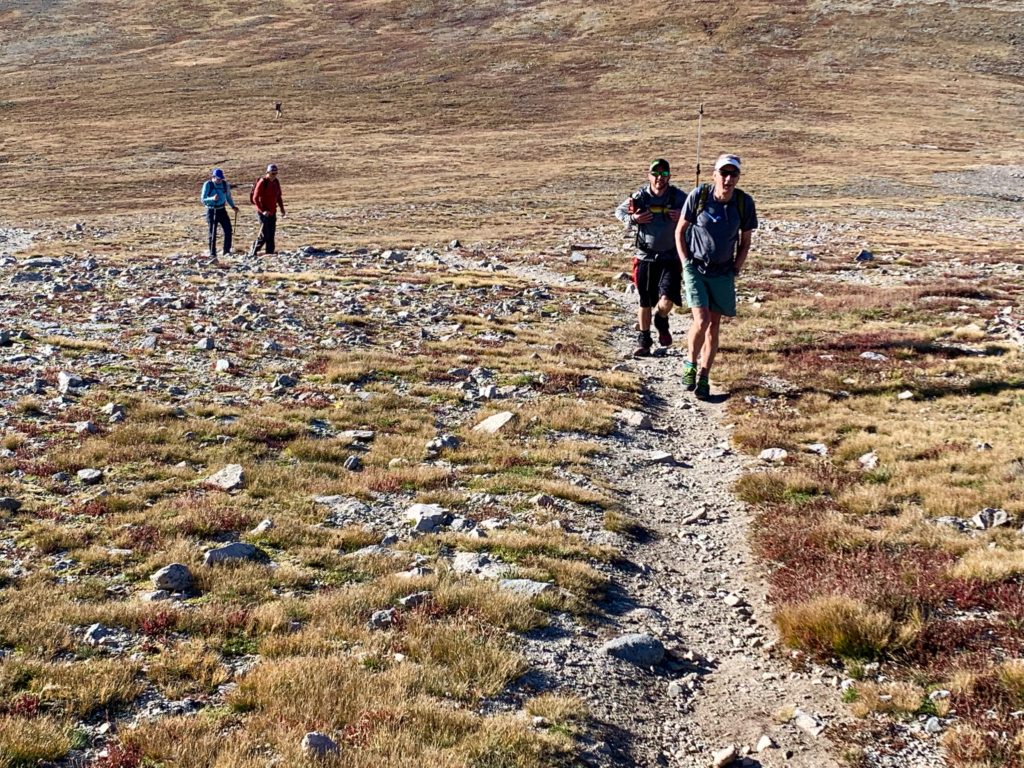
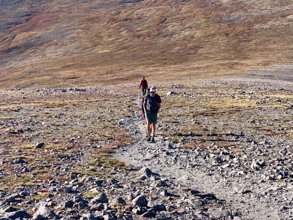
Things are about to get a lot steeper.

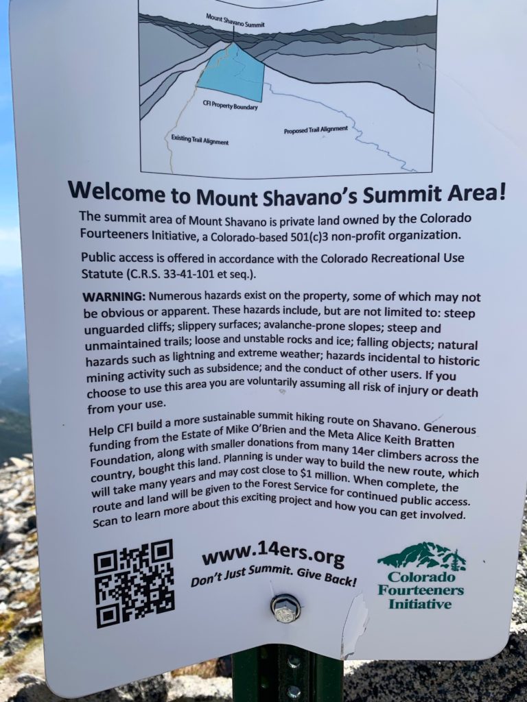
Well this is pretty sweet. CFI actually purchased the old mining claim on top of Shavano and are planning a complete re-route to provide a more sustainable trail to the summit. Here’s a cool video about the project. Believe me, this trail could use some love.
The trail gradually fades and the class 2 scrambling begins.

Our crew on the summit pitch.
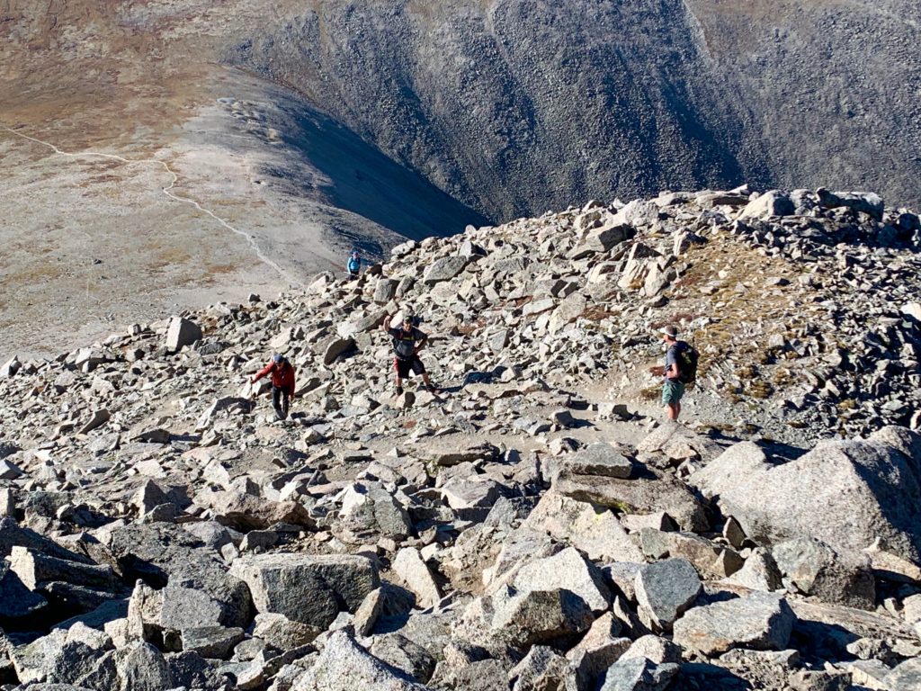
Made it! On the summit looking north to Mt. Antero and Mt. Princeton.
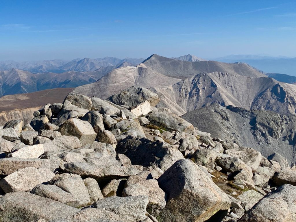
13er Jones Peak and Shavano Lake to the northeast.
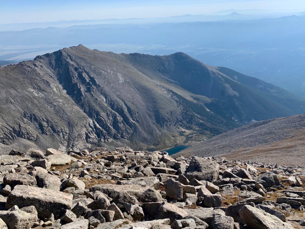
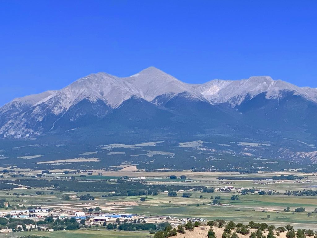
Salida to the east. The day was cloud-free but very hazy. We’ve been lucky with clear skies this summer but I think this was California and Idaho smoke starting to roll in.
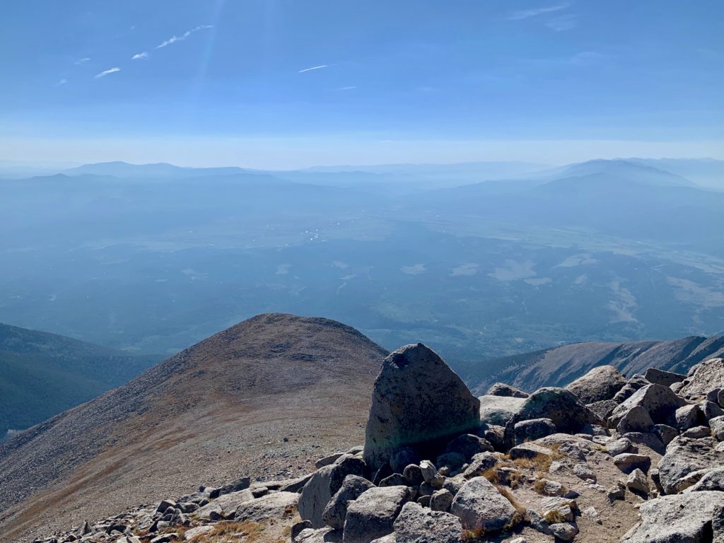
Mt. Ouray to the south.

Taylor Mountain and Mt. Aetna to the southwest.
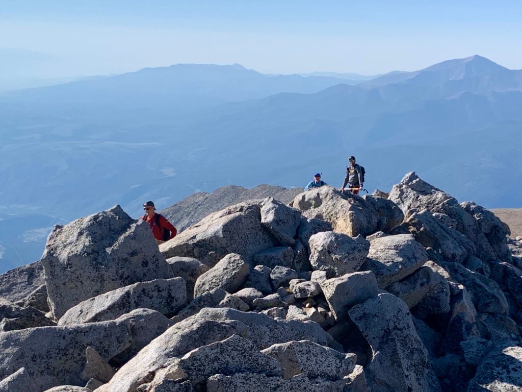
The crew summiting.

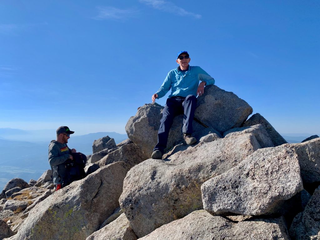
Summit Simon
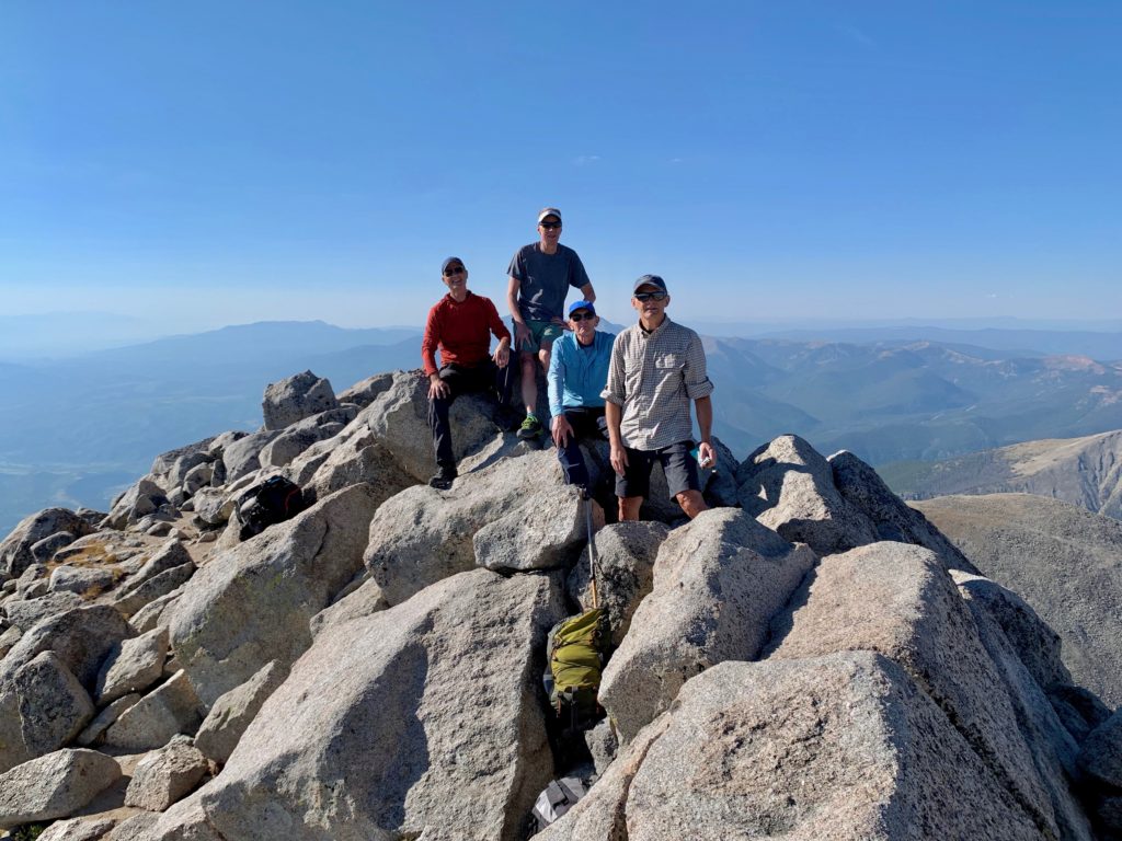
The Shavano crew.
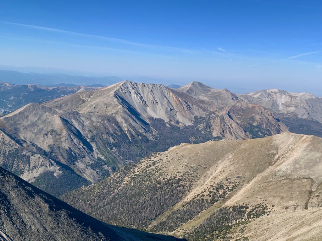
Our next objective looms to the Northwest. Tabeguache Peak.

The summit of Tabeguache is a mile from the summit of Shavano with a 600-foot vertical drop down to the connecting saddle. This is less than the almost mile and a half and 700-foot vertical I climbed between Belford and Oxford. The difference is Belford/Oxford has a trail. There’s no such luxury to get to Tabeguache. Shavano’s north ridge is a mostly class 2 rock scramble and the climb up Tabeguache is on intermittent trail through a large but fairly stable talus field. It was going to take some time.
On the summit of Shavano our crew had some discussion about continuing to Tabeguache but I think the mileage and the altitude had pretty much killed the group’s enthusiasm for going for a second mountain. Understandable. Climbing two 14ers in one day coming from sea level is an ambitious goal. The group decided to head back down.
My whole objective for the day was to get to Tabeguache. The weather was great, I felt fine, there was no reason not to continue. From the summit of Shavano, Tabeguache looks like an unredeemable pile of rock. But it’s on the list. It must be climbed. And besides, there was no way I was going to climb this 14,230-foot lump again. We said our goodbyes and parted ways.
Shavano’s class 2 north ridge is a “pick your adventure” sort of deal. The ridge was a lot longer than I expected but the rocks were stable and it was actually kind of fun hopping from boulder to boulder down the 600 feet to the saddle.
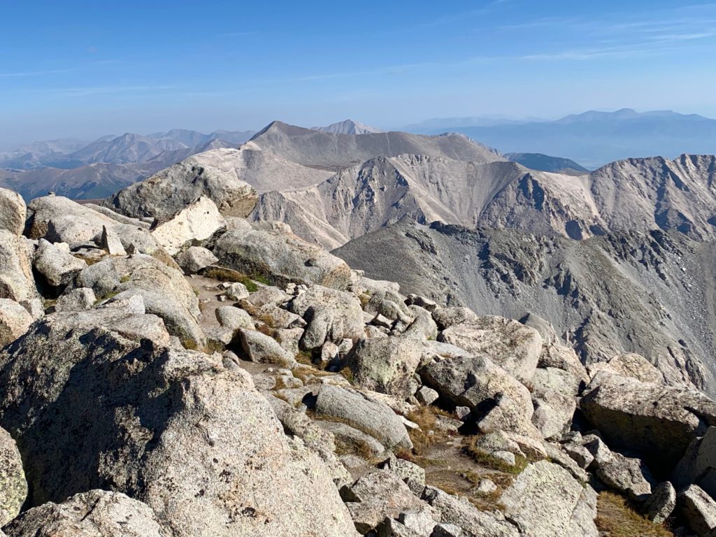
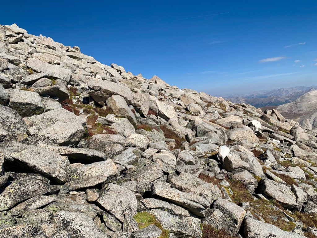
Almost to the saddle with Tabeguache starting to loom large.

On the saddle looking up at Tabeguache. What a pile of rock!
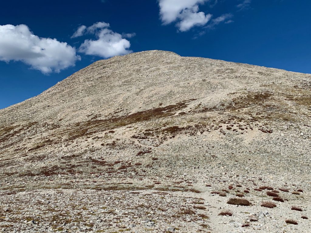
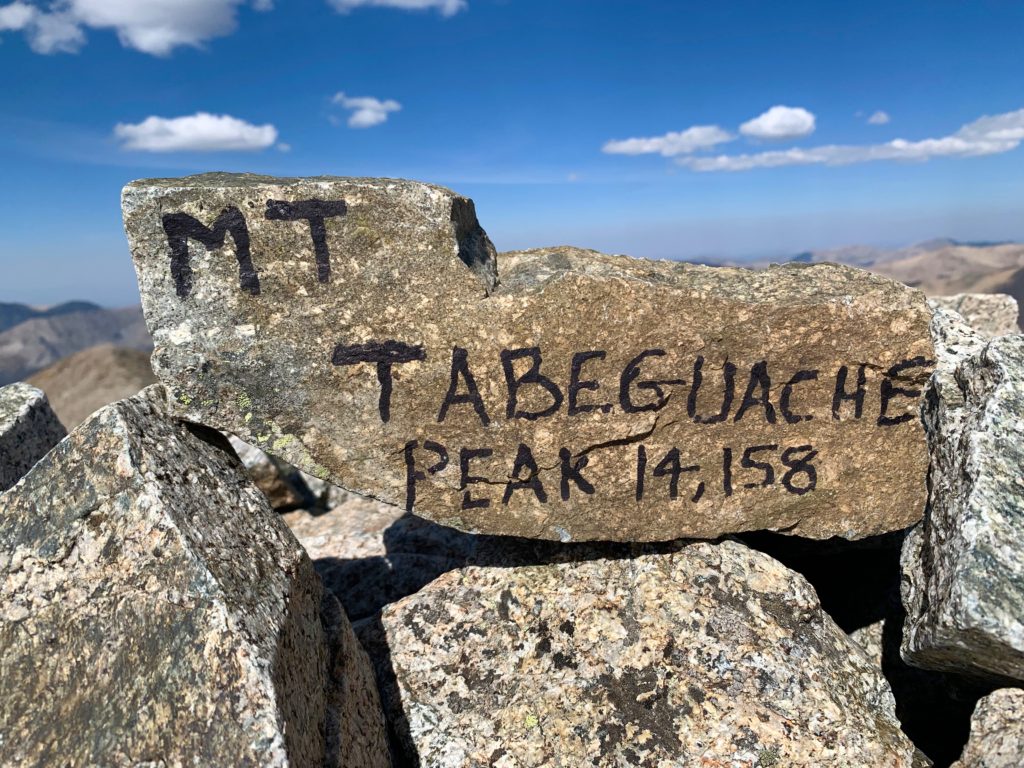
I don’t have a lot to say about the climb of Tabeguache other than it’s slow and tedious. Route finding is weird with lots of interlacing trail segments that all seem to go to the same place from different directions. On the summit someone had built a small wind break and kindly painted a rock with the peak name and elevation.
On the summit of Tabeguache looking back at Mt. Shavano and the long north ridge I had just descended.
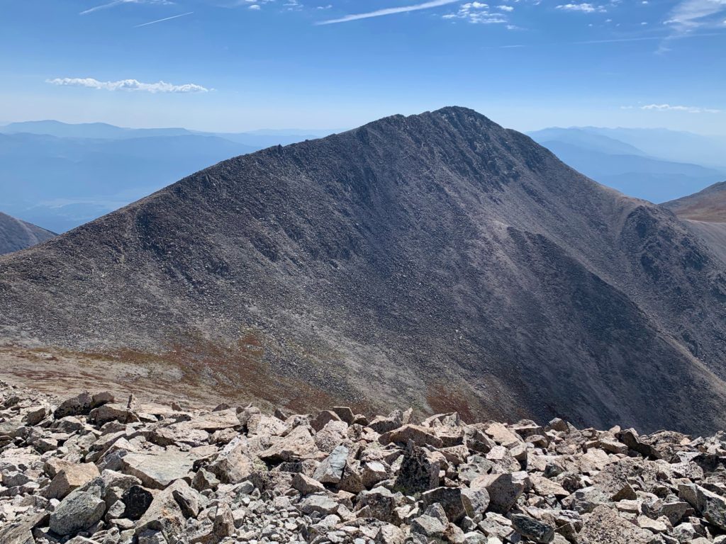
Monarch Pass and Monarch ski area to the southwest.

Looking down Tabeguache’s west ridge to Taylor Mountain and Mt. Aetna.
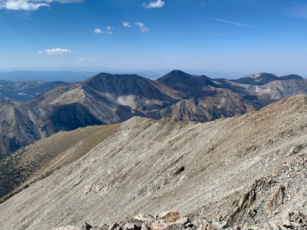
Mt. Antero to the north with Mt. Princeton peeking over from behind.
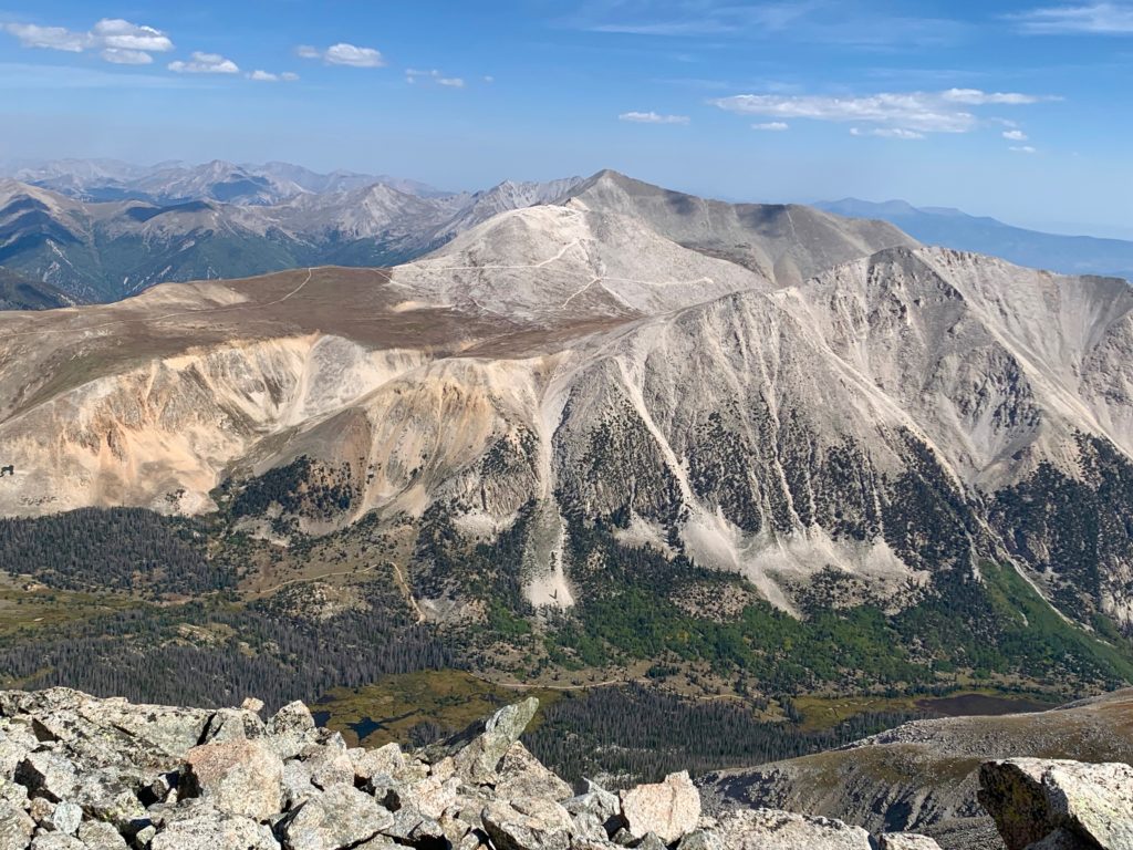
Mt. White and Brown’s Lake.
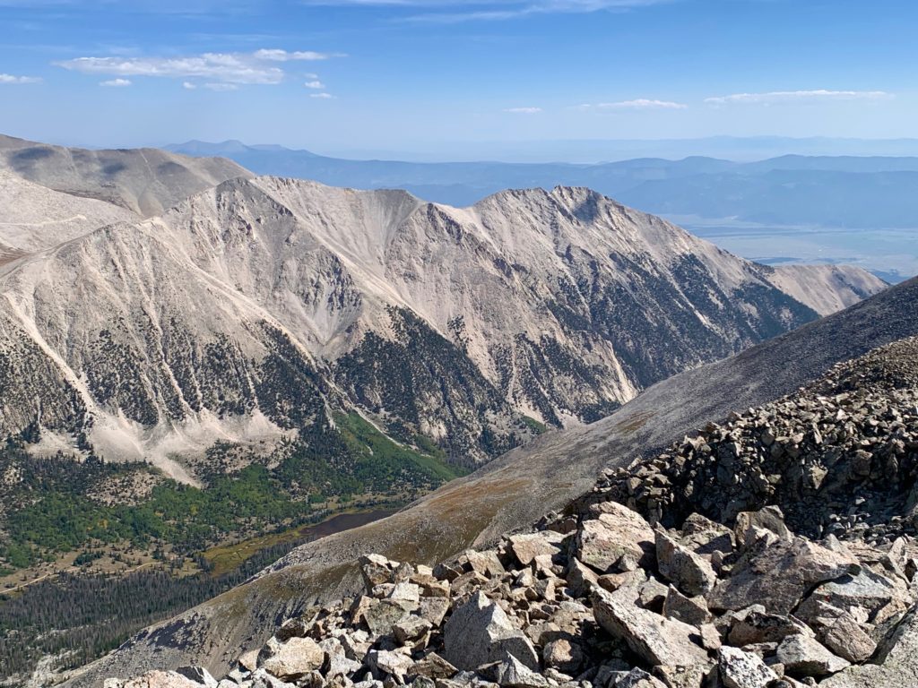
Jones Peak from the summit of Tabeguache.
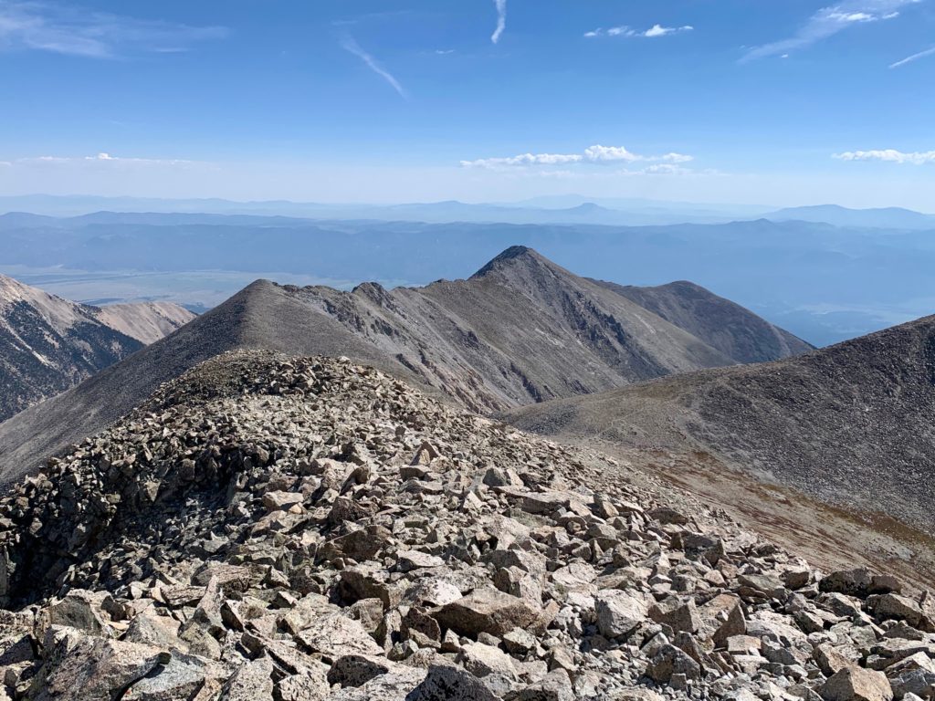
It was still sunny on the summit of Tabeguache but the wind was starting to pick up. I sat down in the wind shelter, ate my lunch and enjoyed the views.
It had taken me a full hour to make the traverse from Shavano to Tabeguache and it was probably going to be a little longer going back due to the length of that north ridge. After eating and taking a few photos I headed back down. The return trip was simply a retracing of my path. I saw only one other person making the journey over to Tabeguache that day.
The rest of the hike down was long but uneventful. You really appreciate how badly Shavano needs trail work when you’re stumbling and sliding over the loose rocks on the descent.
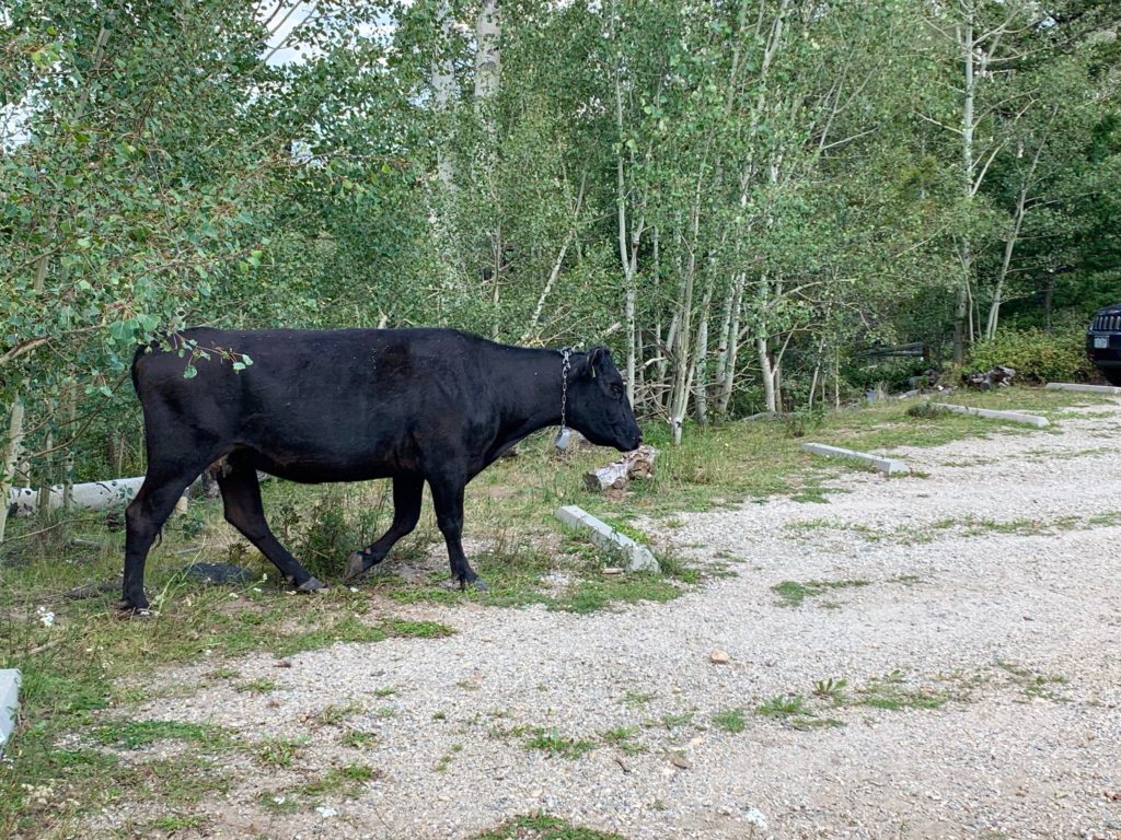
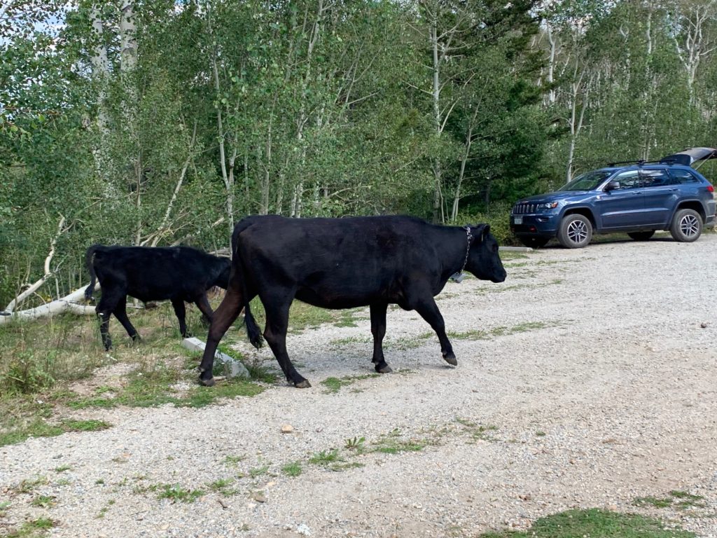
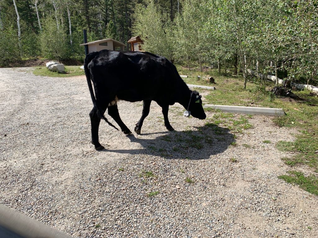
As I made the final turn off the Colorado trail, not 100 yards from the parking lot I was startled by a large animal crashing through the aspens near the trail. At first, I thought it was a moose and I could see it had a youngling with it. Oh crap! I was scanning for an escape route when a couple of black cows, a mother and a calf, stepped out on to the trail behind me. It seems that a herd of free-range cattle were making the Blank Cabin parking lot their grazing field for the afternoon.
Whew! An amusing end to a long day.
