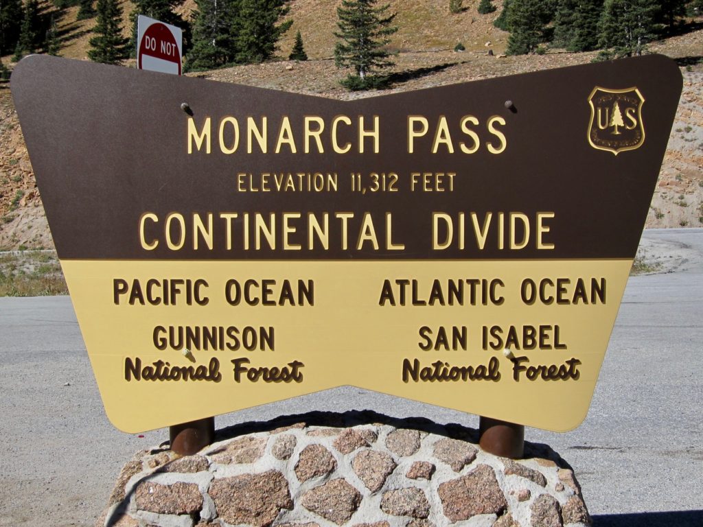
When you’re new in town it’s important to talk to the locals to get the low down on how things, you know, work. Where are the good restaurants? Who’s your vet? Know a good car mechanic? And when a local asks you to participate in something, no matter what it is, you do it. Hey, want to go for a ride? Sure! We’re hiking tomorrow, you interested? Would love to! Goat yoga? In!
During the building of our house I found out our project manager is a mountain biker. We had talked a couple of times about going riding but he’s a busy guy and our schedules had never quite lined up. Then last week he was up at the house and I was showing him my newly completed bike workshop/man cave and he said, “hey, let’s go riding this weekend.” I figured he meant something on the in-town trails but he threw out the Monarch Crest and all sorts of bells went off in my head. The Monarch Crest!? Well dang, nothing like turning it up to 11. Sure, let’s do it!
I’ve ridden the Crest several times over the years but it had been at least a couple of bike upgrades since the last time. The idea of riding it had been in the back of my mind since we arrived in Salida but to be honest, it’s one of those things you have to mentally work up to. For the uninitiated, the Monarch Crest is one of the premier mountain bike rides in the U.S. It’s a 36-mile point-to-point trail, almost all single track, that starts at 11,300 feet at the top of Monarch pass and runs through everything from high alpine tundra, thick pine forests, rock gardens and aspen groves on its way down to Poncha Springs. The trail has something like 2,000 feet of climbing and, most notably, 6,000 feet of descending, much of it through remote backcountry.
The good folks at IMBA have classified it as ‘epic’ and who am I to argue? It’s a trail that people from all over the world come to ride. It was really weird to think it was now just my Sunday ride.
So on the aforementioned Sunday Ms. Seeking dropped the two of us at the summit of Monarch Pass, wished us luck and drove away. Now when you’re standing at the top of a mountain pass you feel like you’re on the top of the world and everything is downhill from there. You would be wrong. In one of the rudest starts to any ride I know, the Crest immediately starts climbing from the parking lot, where oxygen molecules are already hard to find, shoots under the tourist gondola and starts up a steep, nasty 4×4 road.
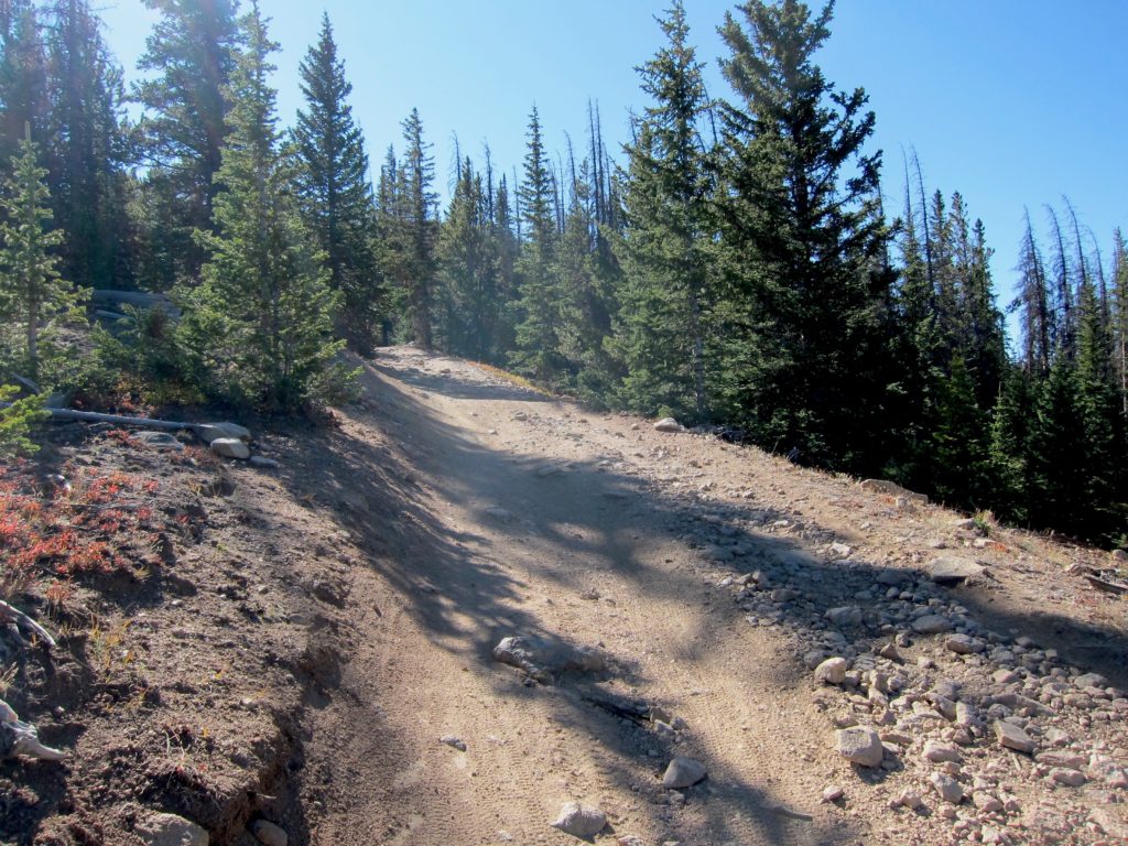
It was somewhere along here that my riding buddy started to have a bad day. Light headed and out of breath, he called for a pause. Yikes, was it the ‘rona? Drink some water, eat a Clif bar. Ugh, nauseous. Uh oh, sounds like altitude sickness. Try to go a little further. Nope, not going to happen. It wasn’t his day so he decided to head back down to the parking lot and call his wife to come get him. Bummer. I know it hurt him to bail but he said he’d be alright and told me to go on. I knew the route and was amped just to be there so I decided to continue on solo. Not as fun as riding with someone else but when the trail is this good, it’s still sweet.
Without a doubt, my favorite part of the Crest is the high alpine riding at the beginning. Once you work your way up that 4×4 road and climb to the high point on the ridge the trail begins to contour around the remaining terrain and you find yourself flying along between 11,800 and 12,000 feet for miles. The trail is fast and flowy, a little up, a little down and it’s hard to keep things pointed straight down the trail due to the astonishing views.
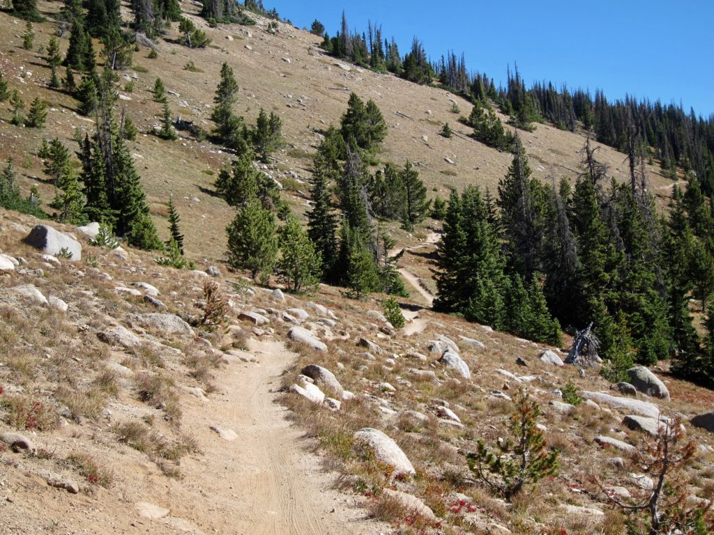
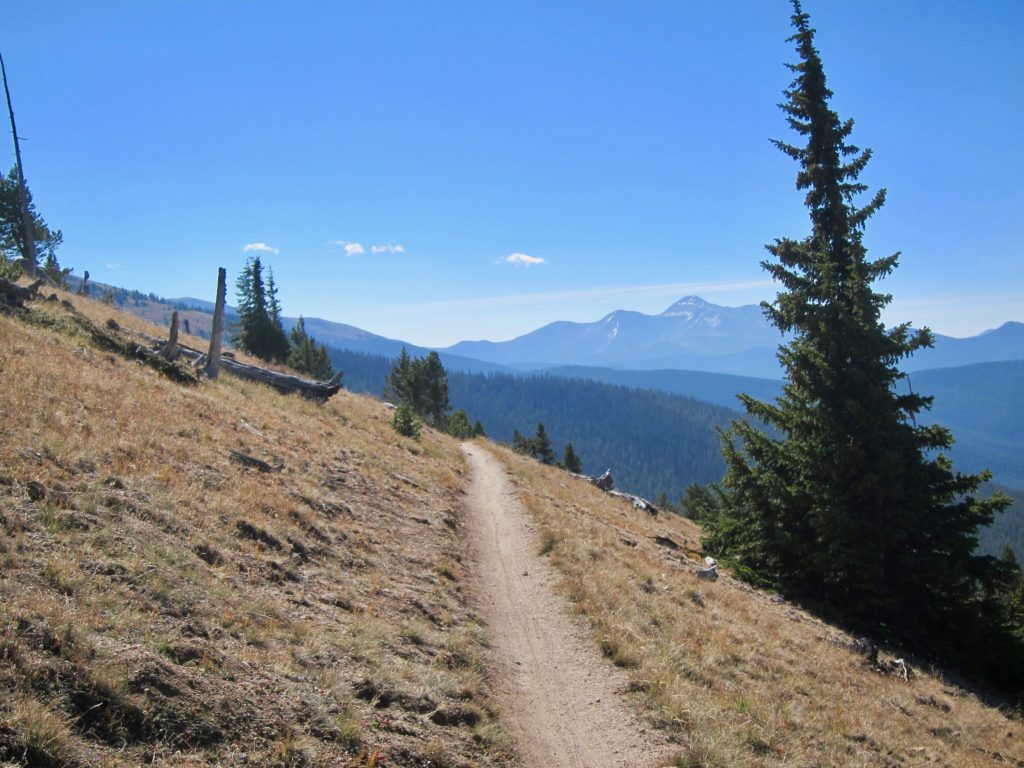
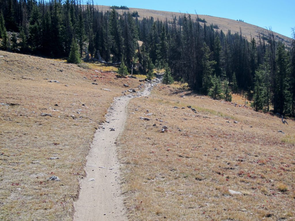
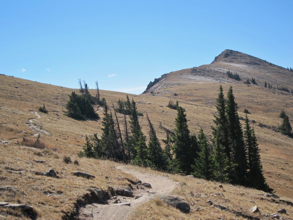
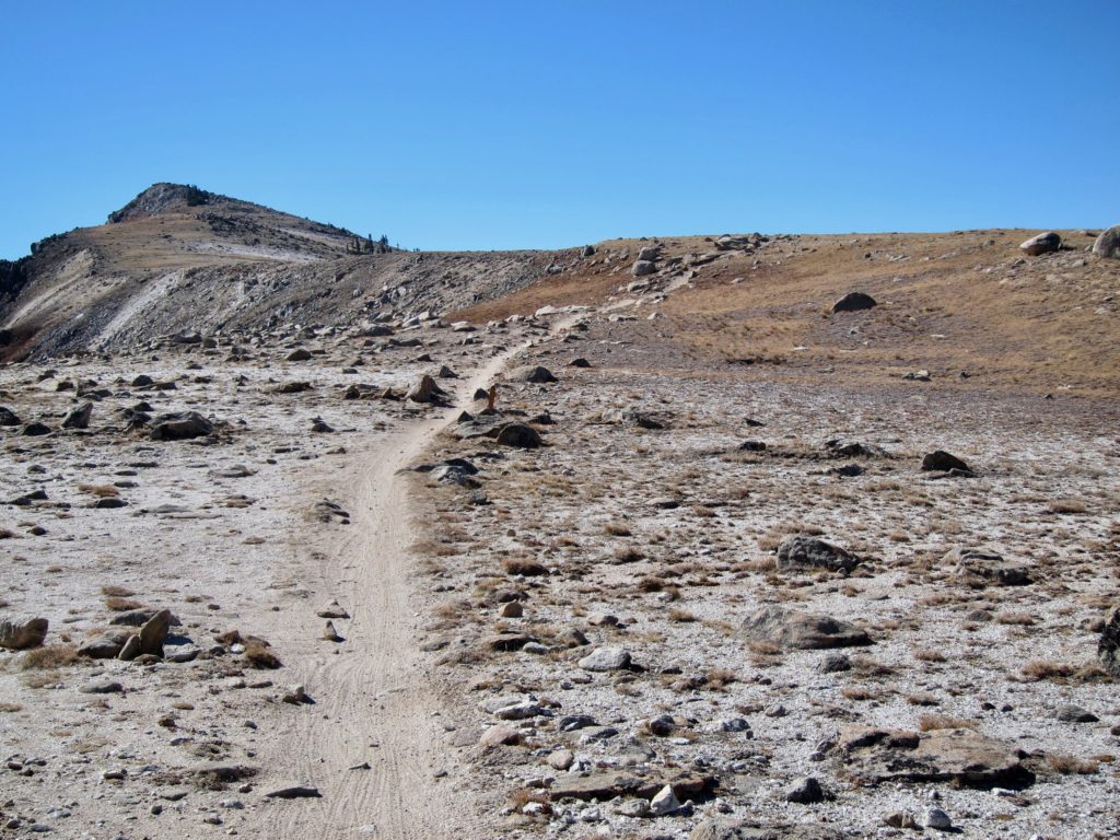
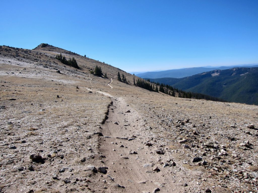
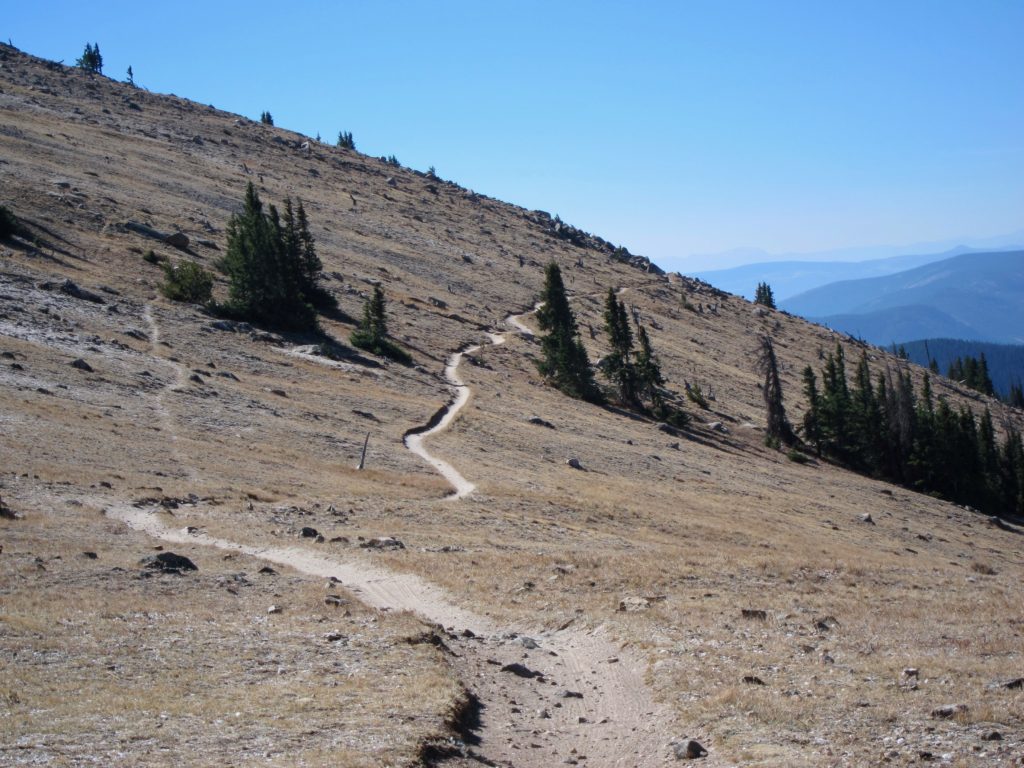
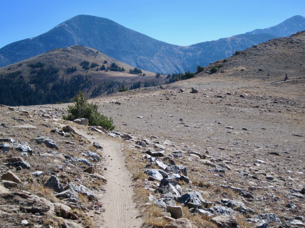
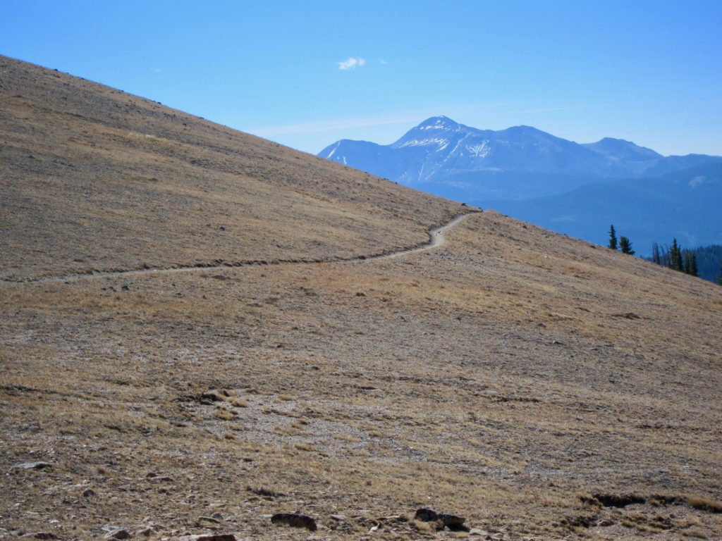
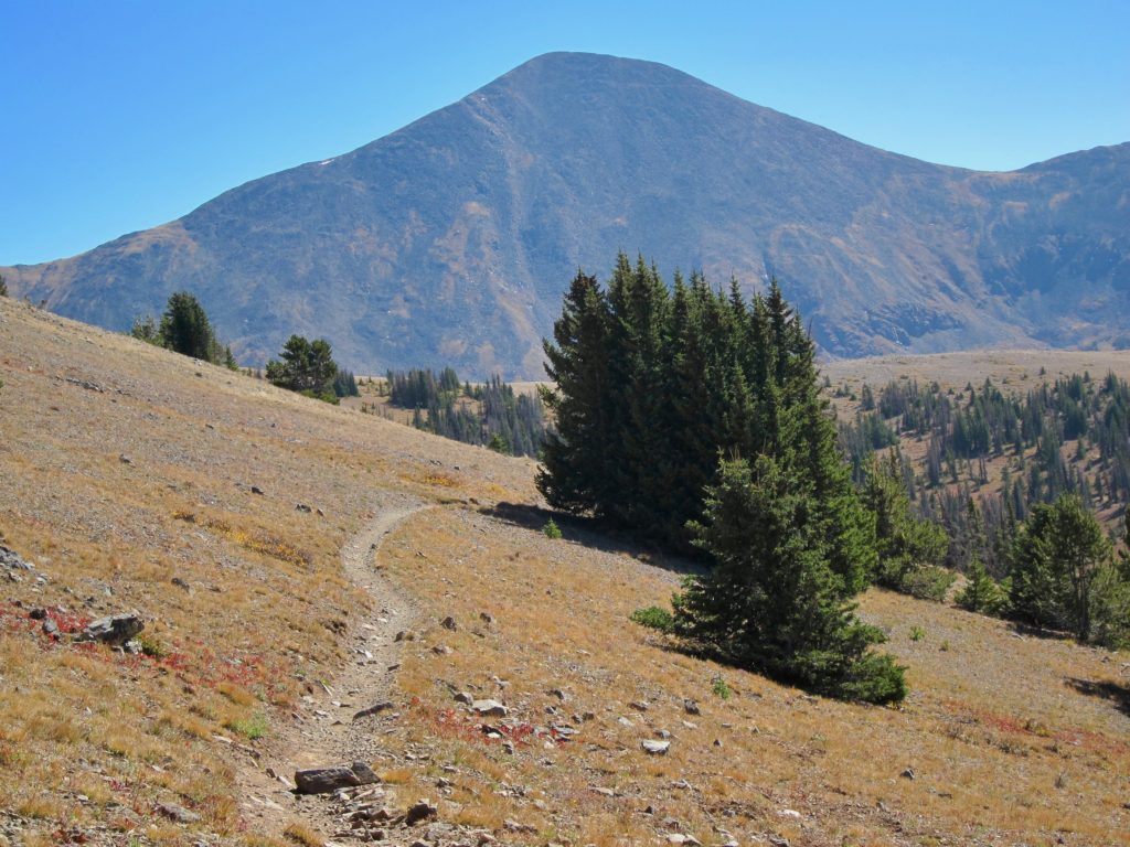
After a few miles above tree line the trail descends to the first of several possible bail out points, Fooses Creek. Up until this point the trail you’ve been riding is actually the Continental Divide Trail. The thing about the Monarch Crest is, there’s no actual trail called the ‘Monarch Crest’, it’s a stringing together of several other trails. Just to add to the confusion, the top of Fooses is also segment 15 of the Colorado trail so for the next few miles the trail is actually both the CO Trail and the CDT. In the dark days before the interweb this was very confusing and led to my getting lost the first time I attempted it but now days it’s all well marked and Googleable.
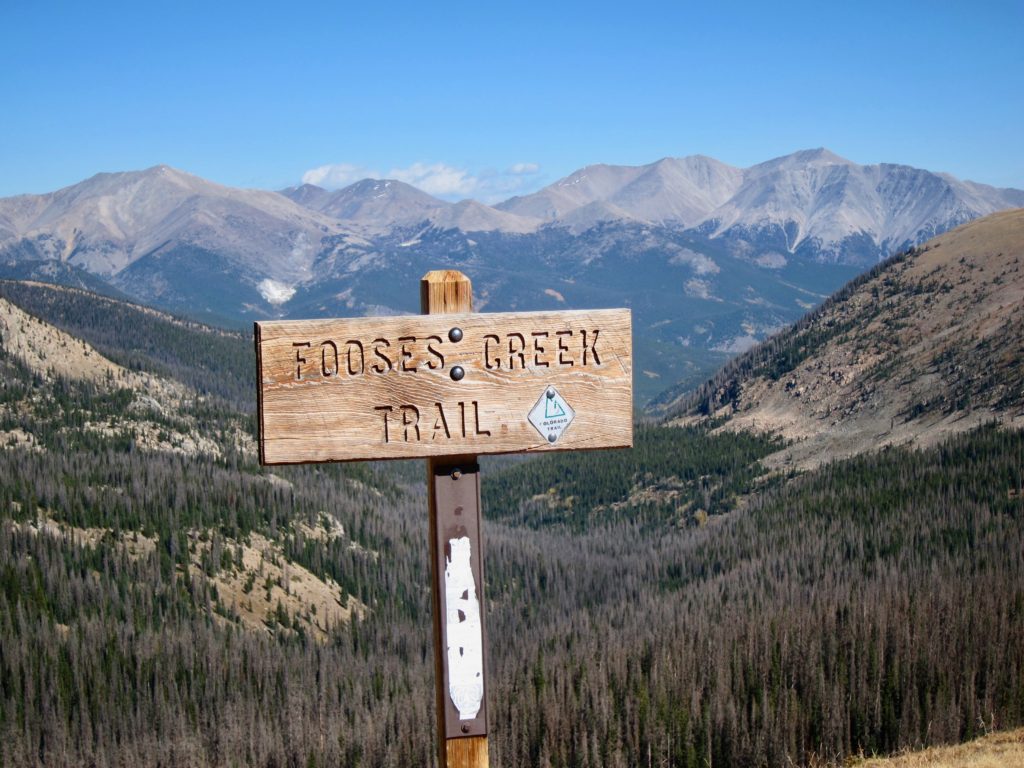
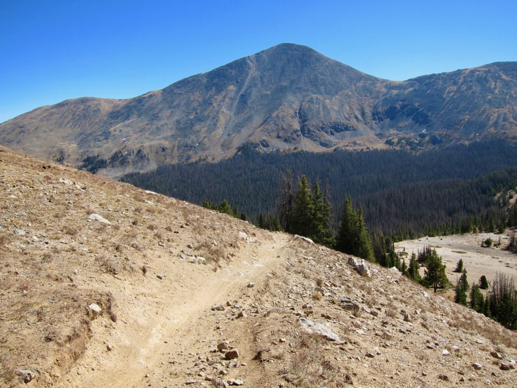
The trail descends fast until you’re back into thick pine forest. Sadly, much of it is the victim of beetle kill.
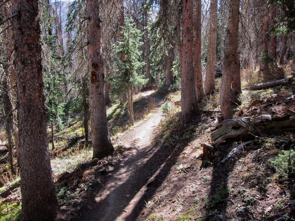
The trail continues to descend through the forest to the second and third possible bail out points, Greens Creek and Little Cochetopa Creek.
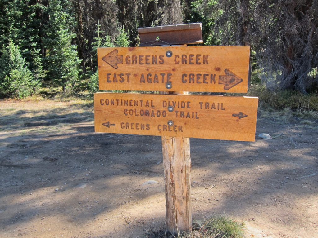
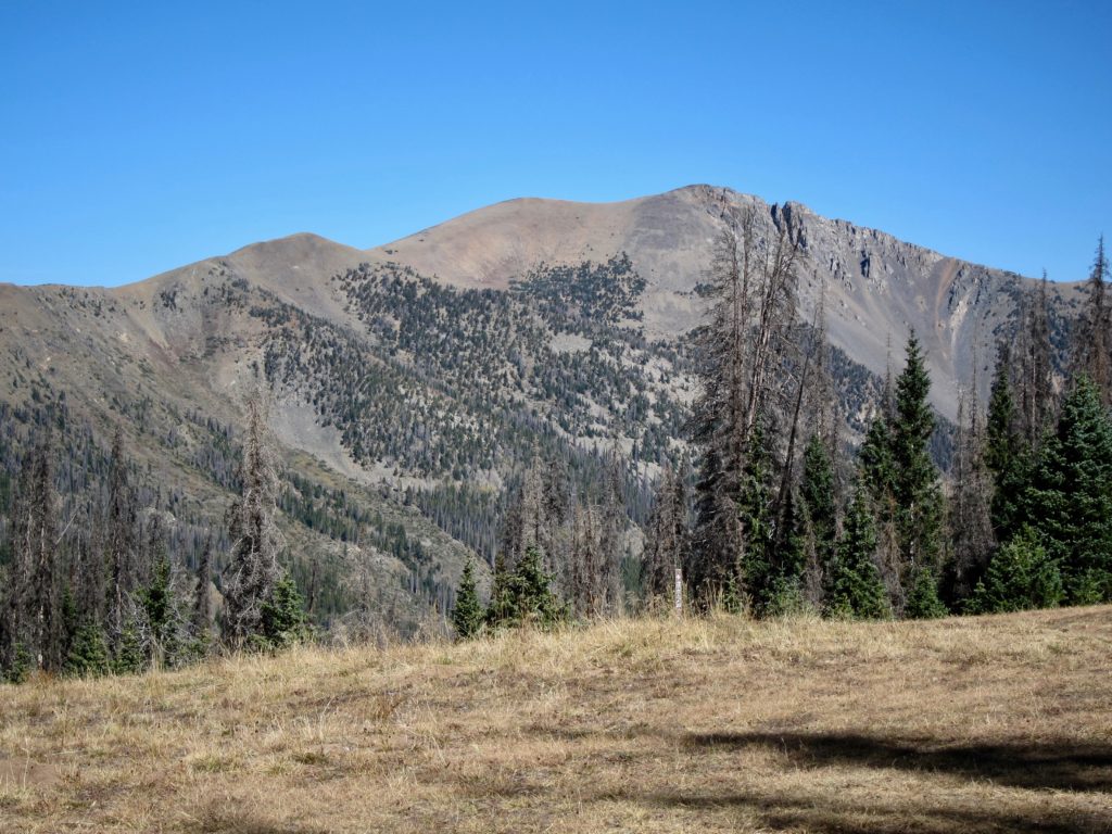
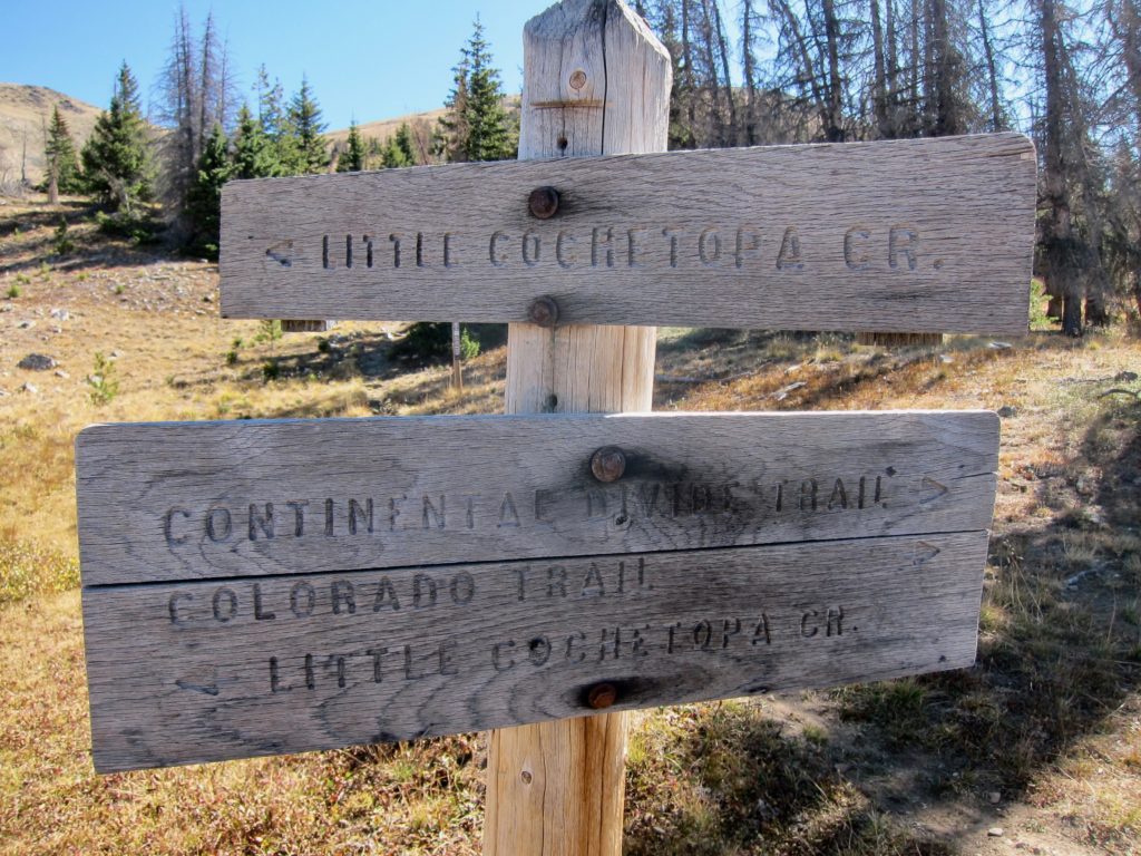
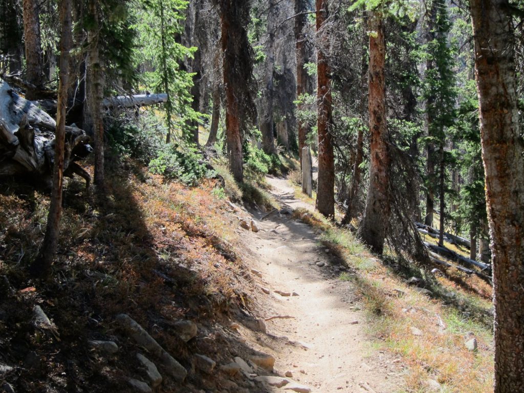
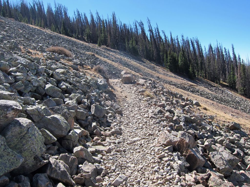
Shortly after Little Cochetopa Creek the trail crosses a huge rock slide that took out all the trees on the mountain face eons ago. How they managed to build a trail across this is hard to comprehend.
After the rock slide the trail pops out onto a bermed, downhill 4×4 road that makes for a grin-inducing, high-speed descent to the top of Marshall Pass.
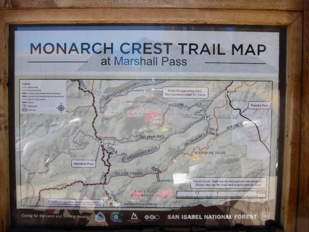
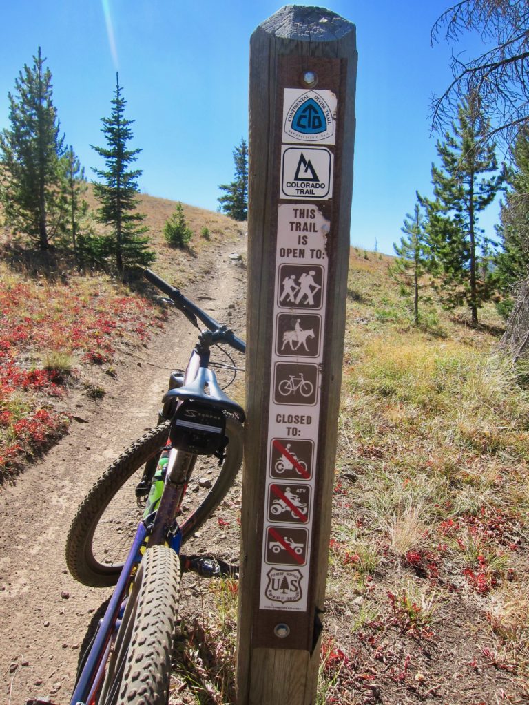
When you reach Marshall Pass you’ve been descending for most of an hour so the shift back to climbing mode is a bit of a slap in the face. But at least it’s smooth trail through dense forest so it’s kind of hard to complain.
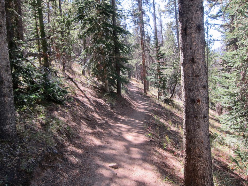
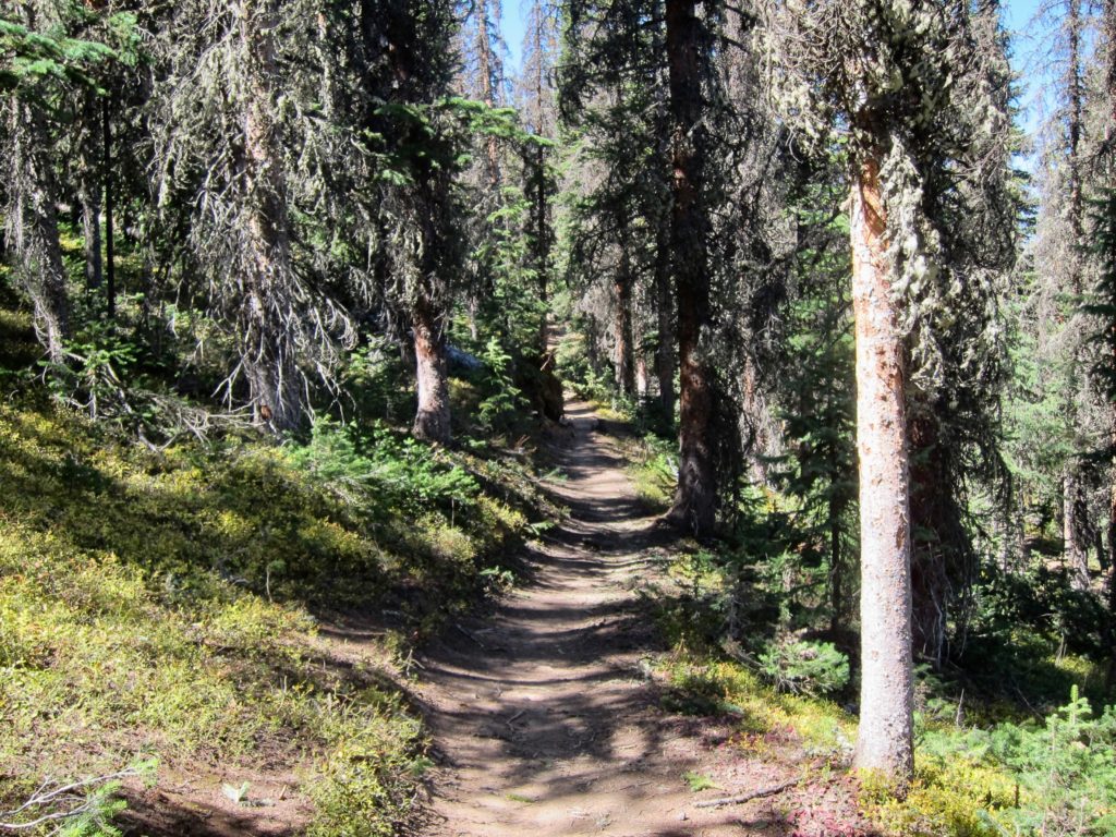
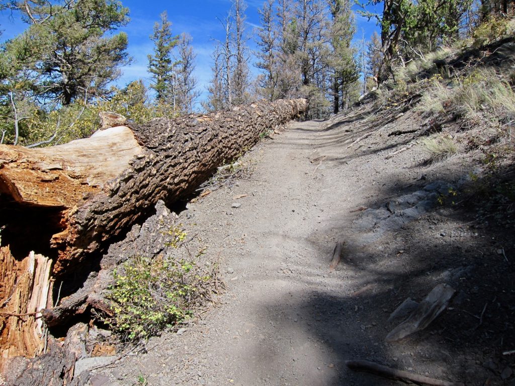
But it wasn’t long before things started to get a little more epic when, while spinning up the Colorado trail I was faced with this.
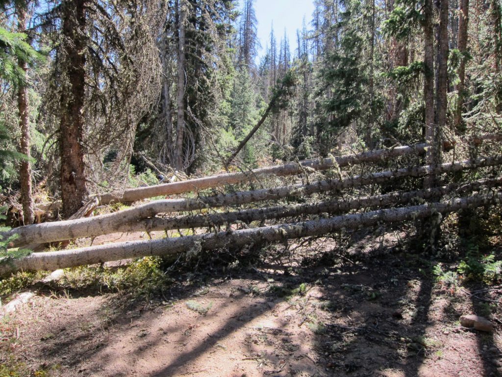
Tree fall isn’t that uncommon in the mountains but this was different. After climbing over the first downed pile there was another, and then another and then another. I estimate there was a mile where, for whatever reason trees across a whole mountainside had been blown over. Many were dead from beetle kill but many were green and healthy. Must’ve been quite a storm! I spent close to an hour climbing over, detouring around, losing and then re-finding the trail.
Now I don’t mind being alone in the backcountry but crawling through that giant pile of pine-scented pick up sticks my mind began to wander. I started to freak out a little as I wondered just how long ago all this had happened. It was a windy day. Many of the fallen trees were green. Maybe it was happening right now?! I was listening for every creak, crack, and pop waiting for some giant pine tree to end me and my ride.
Then as unexpectedly as the tree fall area started, it ended. I came out into a clearing and there was a guy sitting on a rock with his bike laying on the ground. He was flushed and covered in sweat. He sees me and asks, “Man, I thought I was never going to get out of that! Do you think there will be any more?” I told him I didn’t know but we were almost to the Silver Creek trail, which is more open so we should be ok. I asked him if he needed help and he said no, he just wanted to rest for a while so I wished him luck and continued on.
Things were starting to get back on track when somewhere between the end of the tree fall and the start of Silver Creek my shift lever decided to part ways with my shifter and suddenly I was looking at the prospect of riding a single speed for the last 20 miles of the day. Well that will certainly be epic. I knew it wouldn’t be a huge issue on the Silver Creek trail since it’s mostly downhill but the Rainbow with its quick ups and downs was going to be, um, interesting.
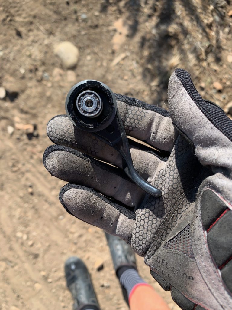
With no bike shops in sight and no obvious way to MacGyver it, I put the lever in my pocket, checked for any other loose parts and continued on. At least the chain was in the middle of the cassette so in theory, on average, the bike should be pedalable.
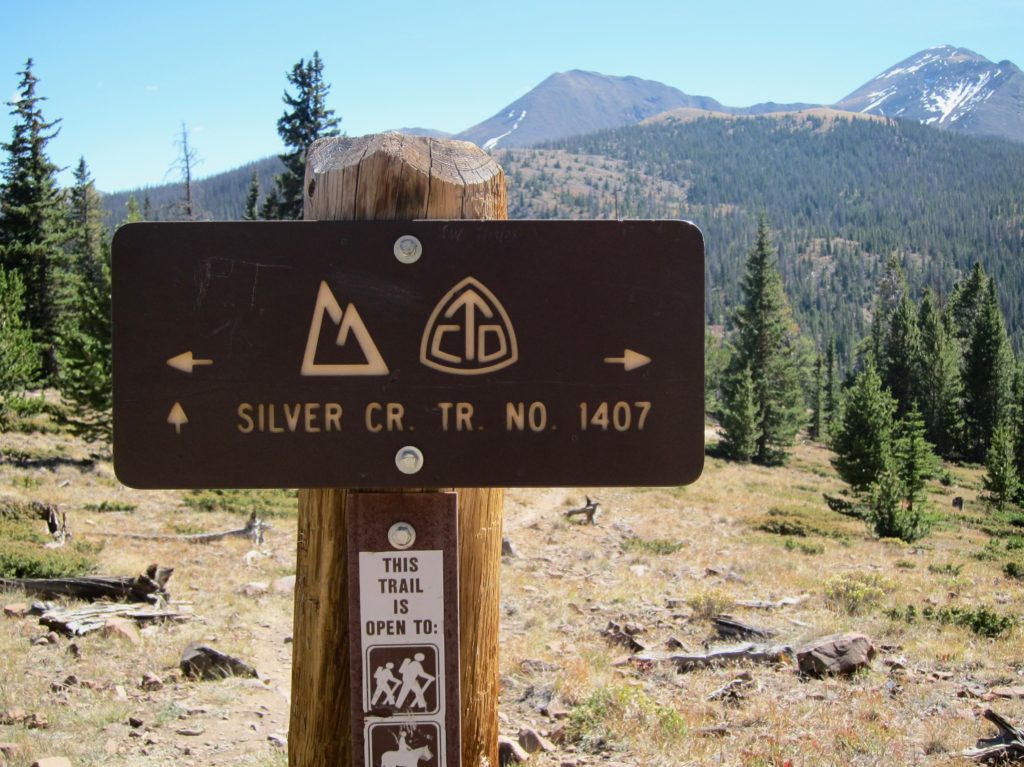
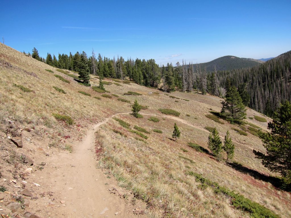
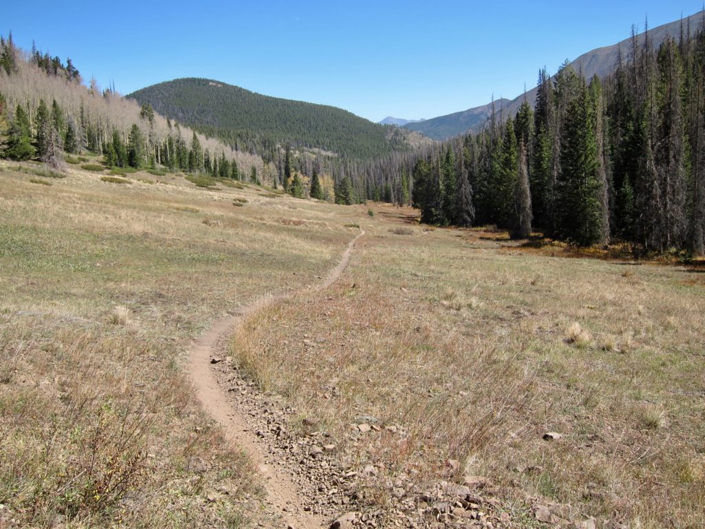
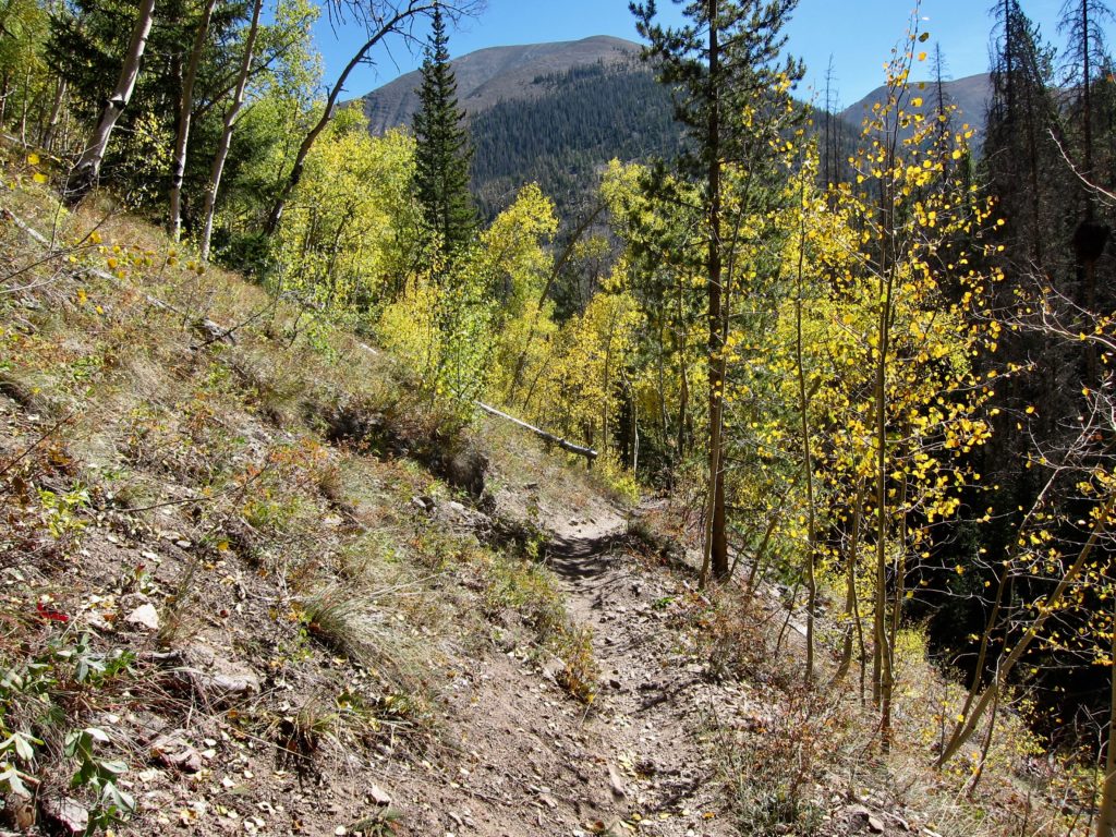
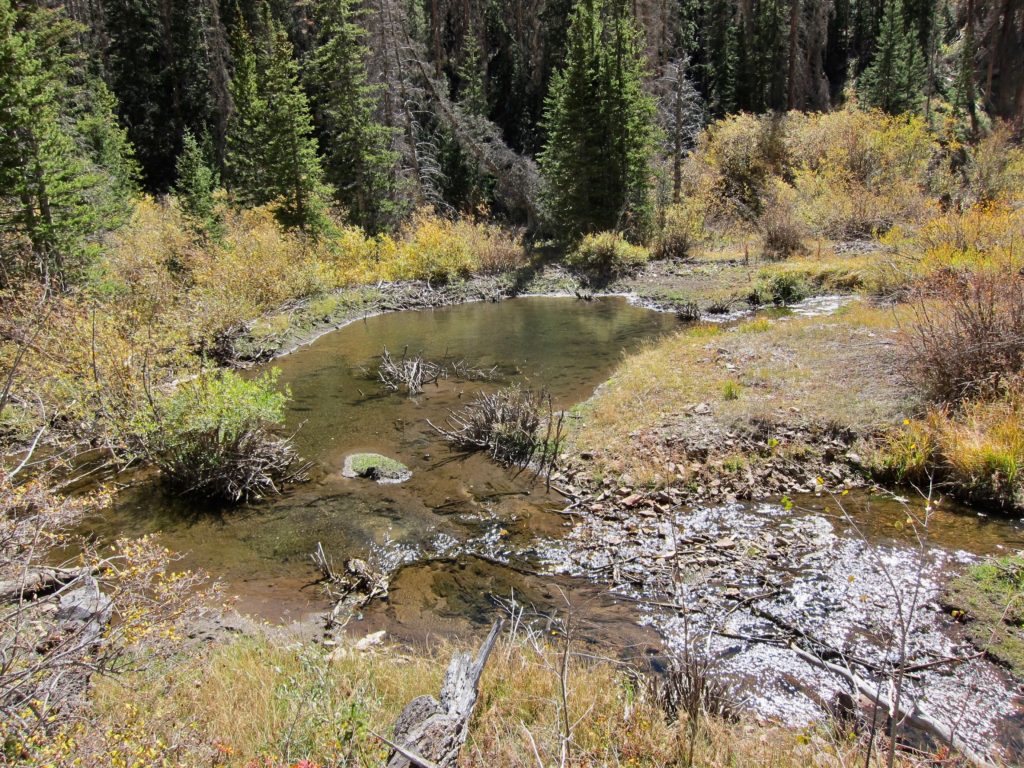
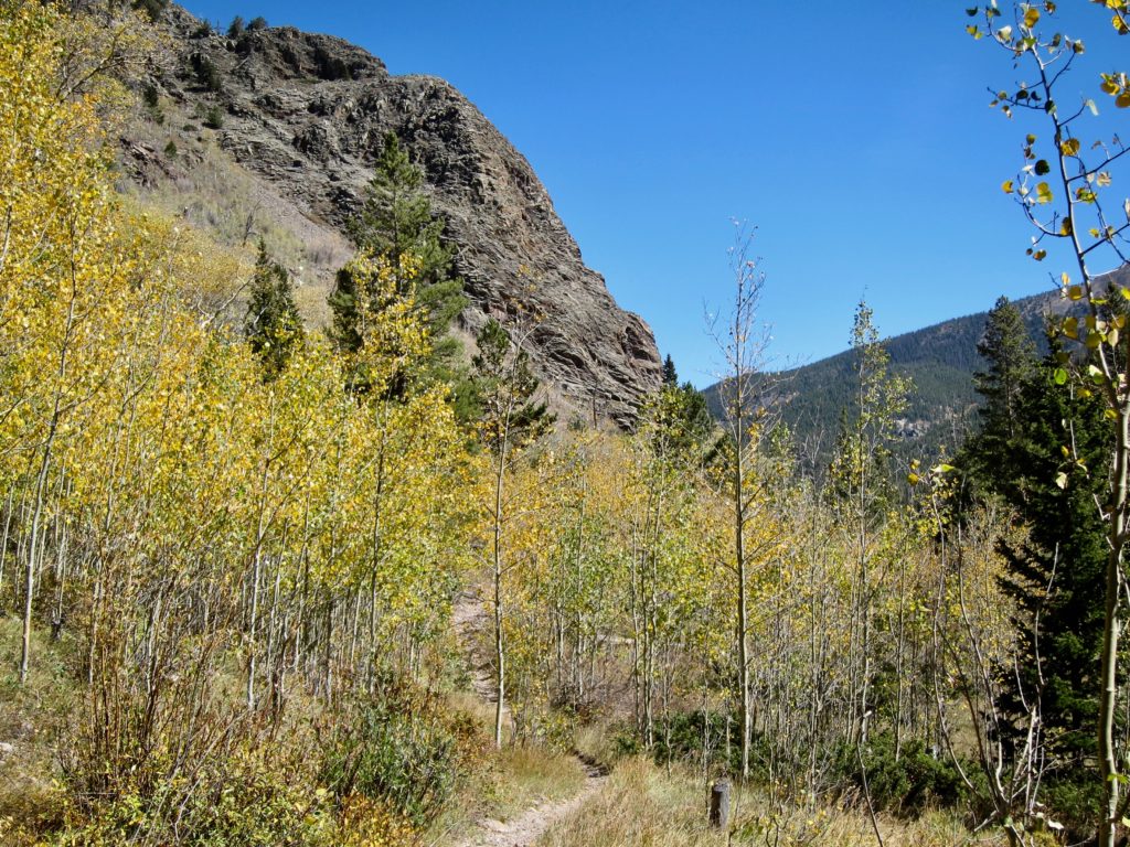
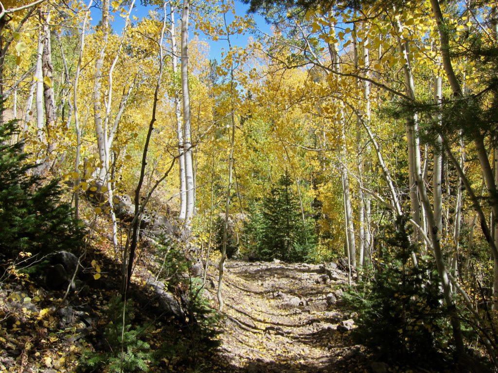
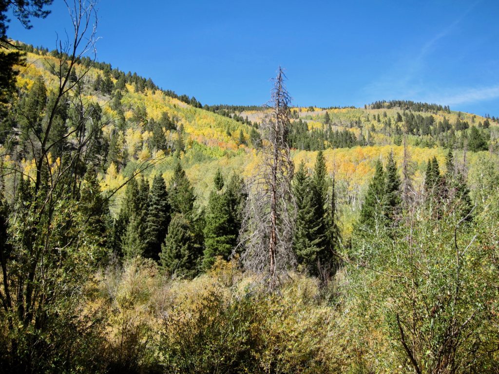
One of the highlights I remember from past rides of the Crest was at the end of the Silver Creek trail you actually had to ride down the shallow creek bed for the last 100 yards before you popped out on to the Rainbow trail. So I was confused when the trail ended on a 4×4 road with no creek ride and no Rainbow trail in sight. After some quick triangulating with the topo map (what did we do before cell phones?) I realized the Rainbow was down the road just out of sight. It seems the trail had been re-routed uphill sometime in the past few years. I suspect having hundreds of mountain bikers riding down a flowing stream every year is probably not the most environmentally sound practice.
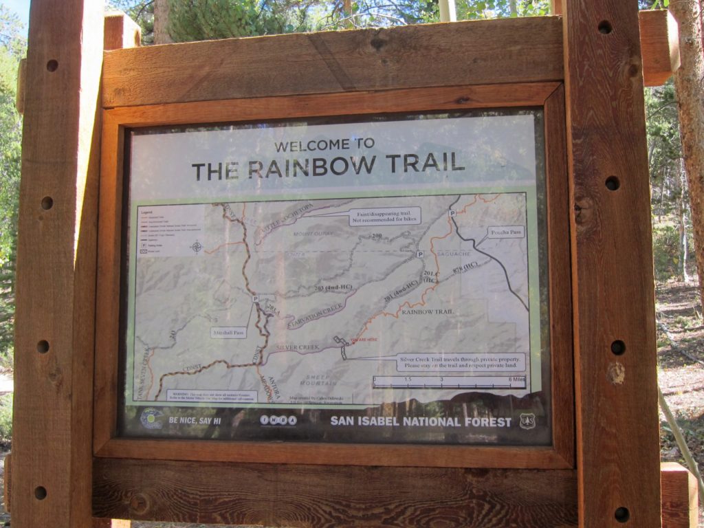
So now the Soul Cycle spin class section of the ride began. Normally the Rainbow is a really fun section of trail with quick ups and downs, multiple creek crossings and great views. But with only one gear I was forced to stand and muscle my way up many of the uphills and walk up many more of them. It was an interval session at altitude, which is not what anyone is looking for three hours deep into a ride.
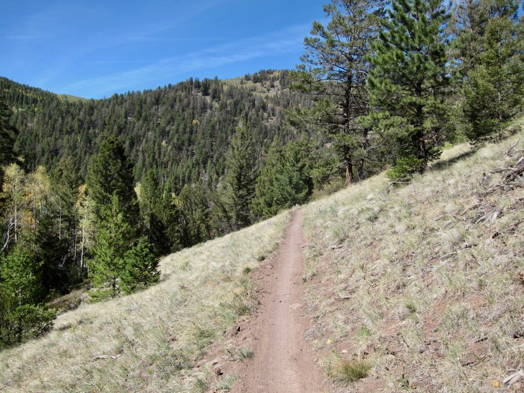
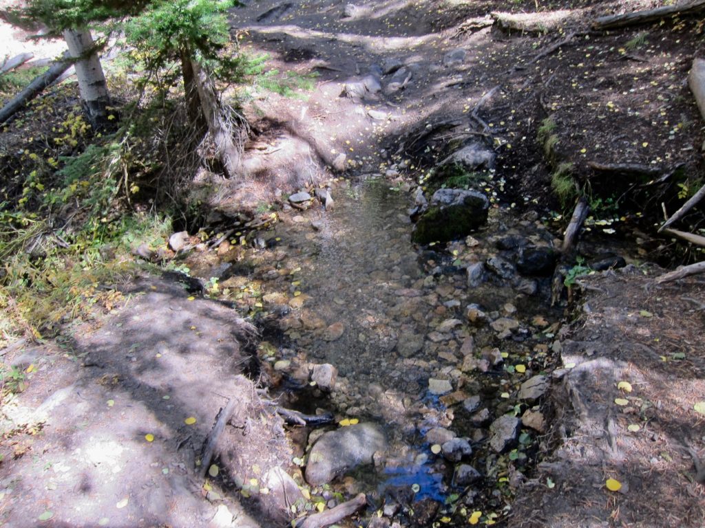
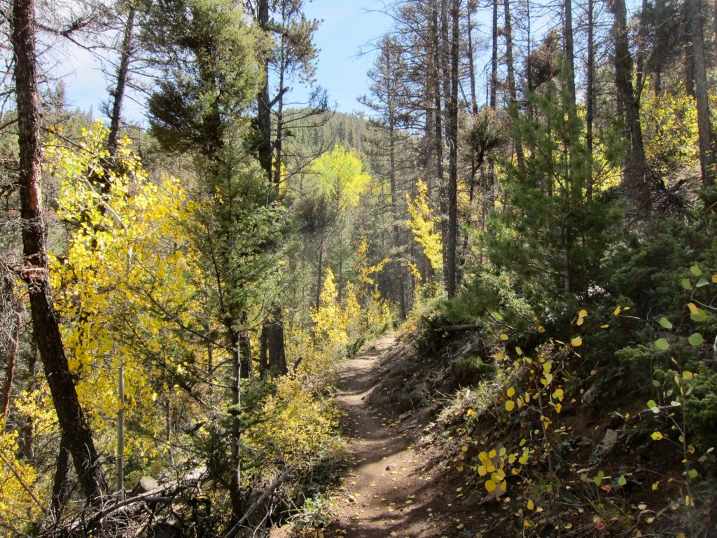
But the views made for a nice distraction.
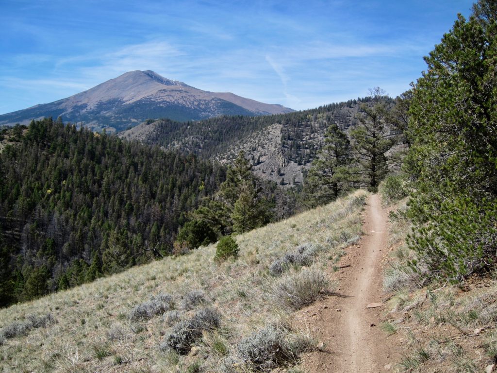
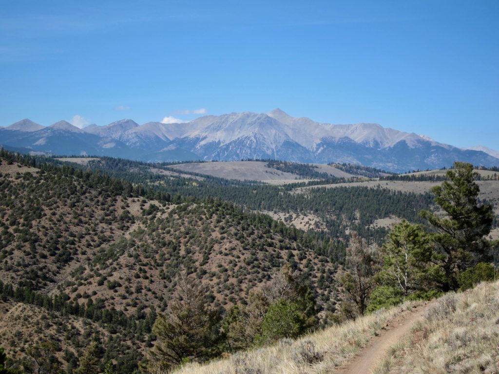
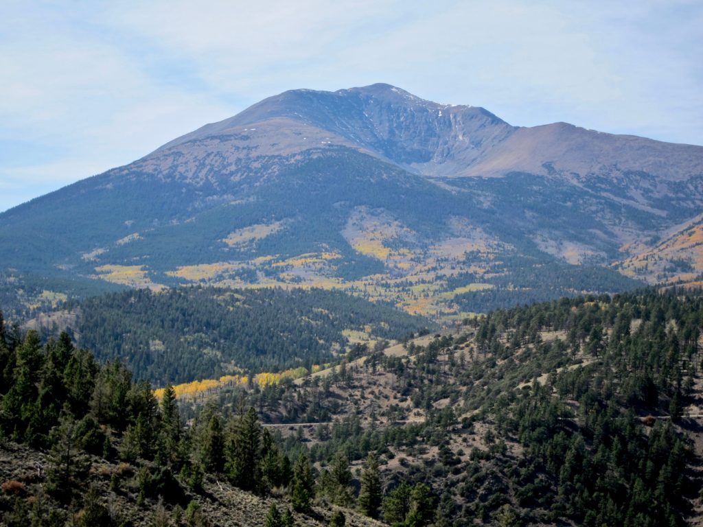
The highlight of the day came about halfway down the Rainbow trail as I was rolling down a section that actually matched my gear ratio. I came around a corner, looked up and there, trotting down the trail in front of me was a slightly oversized kitty cat with a stubby tail. Bobcat! It didn’t seem to be in a terrible hurry and I was actually closing on it when I realized that rolling up on a wild animal with teeth and claws would be a really bad idea.
I stopped pedaling and immediately the buzz of my freehub gave me away. The cat looked back, saw me and hit the gas. But for some strange reason it stayed on the trail so I started pedaling again and was able to match its pace. After a few more seconds of running directly in front of me the cat saw an opening in the trees and shot up the hill for about 30 feet and stopped. I stopped. We stared at each other for a few more seconds then it ran off up the hill. It all happened so fast there was no way to get a picture of it. I really need to invest in a handlebar-mounted GoPro.
But I did manage to get a picture of some slower moving animals. Not as interesting as a bobcat but they scared the crap out of me being so large and seemingly out of place on a mountain trail.
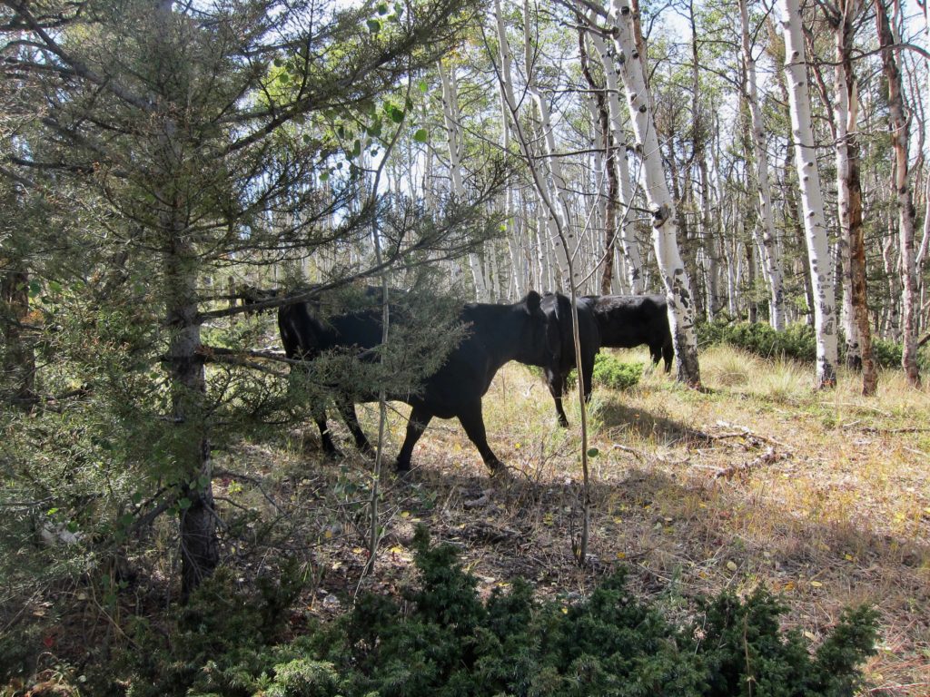
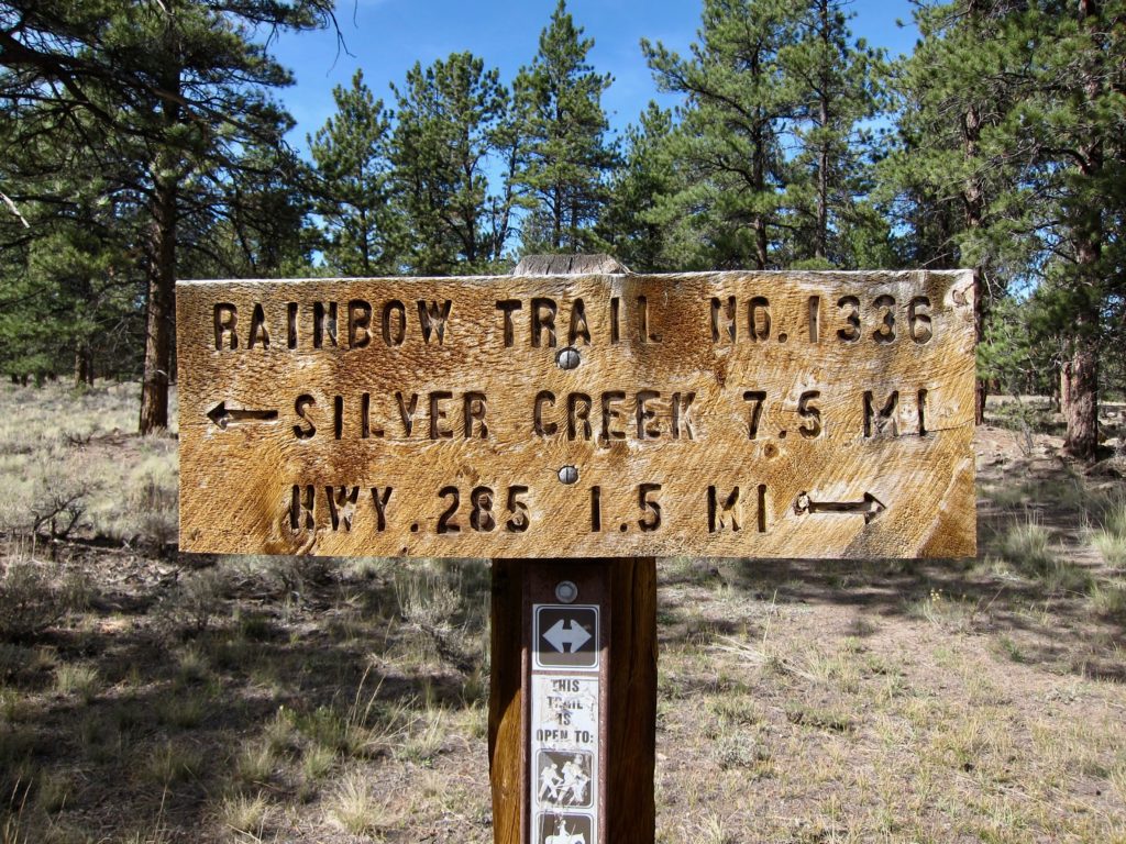
Only a mile and a half to pavement! From this sign the Rainbow climbs one more ridge then descends down several steep switchbacks and drops you out at highway 285 about halfway up Poncha Pass. From there it’s a screaming high-speed descent on pavement down to Poncha Springs. And even though from Poncha it’s only another five downhill miles to Salida my legs were shot from all the unplanned single speeding so I called for the sag wagon and Ms. Seeking kindly came and retrieved my worn out but happy ass and brought me home. Man, I could really use some goat yoga!