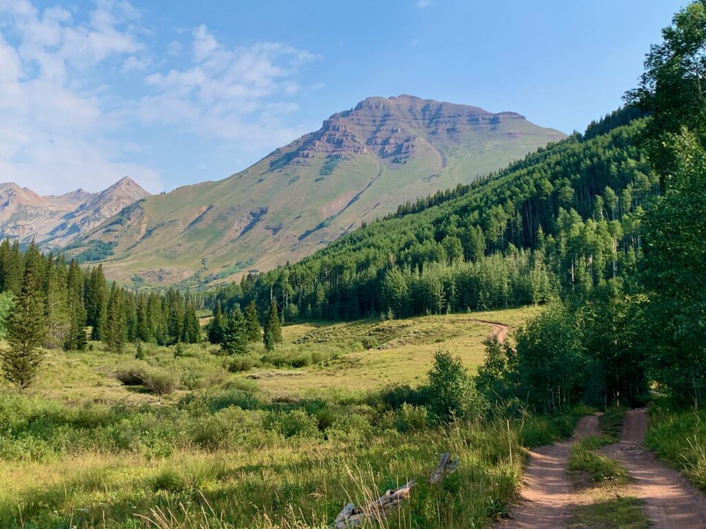
In my continuing effort to provide you, dedicated reader, with an ongoing travel log of adventures in Colorado, and more realistically, because I felt like going on a little drive, this past week I headed over the pass to Crested Butte for some western slope riding.
Crested Butte is not new to me. Over the years, I’ve ridden there dozens of times. But it seems like every time I go, I tend to gravitate to the north side of town and the famous 401 and 403 trails. The 401, in particular, is one of those epic trails that mountain bikers from all over the world have probably heard of and likely aspire to ride. It’s hard to resist its pull.
But I decided this time was going to be different. I focused on the south side of Crested Butte and the network of trails accessed by Brush Creek Road. Specifically, I wanted to ride Teocalli Ridge. I’ve been aware of it for years and in our current YouTube age, had seen multiple videos of other people riding it. That was my target for the day.
And as every mountain biker knows, when getting to a ride involves a drive in a car, it’s important that time spent in the saddle is greater than or equal to time spent behind a windshield. To that end, I decided to add a loop on Strand Hill. Not as well-known as Teocalli but right across the valley from where it ends and, as you can see in the video, every bit as lovely.
Combined, my Teocalli – Strand combo platter would be a total of 20 miles and approximately four hours of saddle time. Sufficiently exceeding my 3.5-hour drive time from and back to Salida.
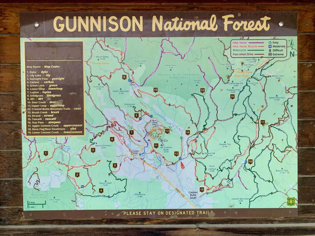
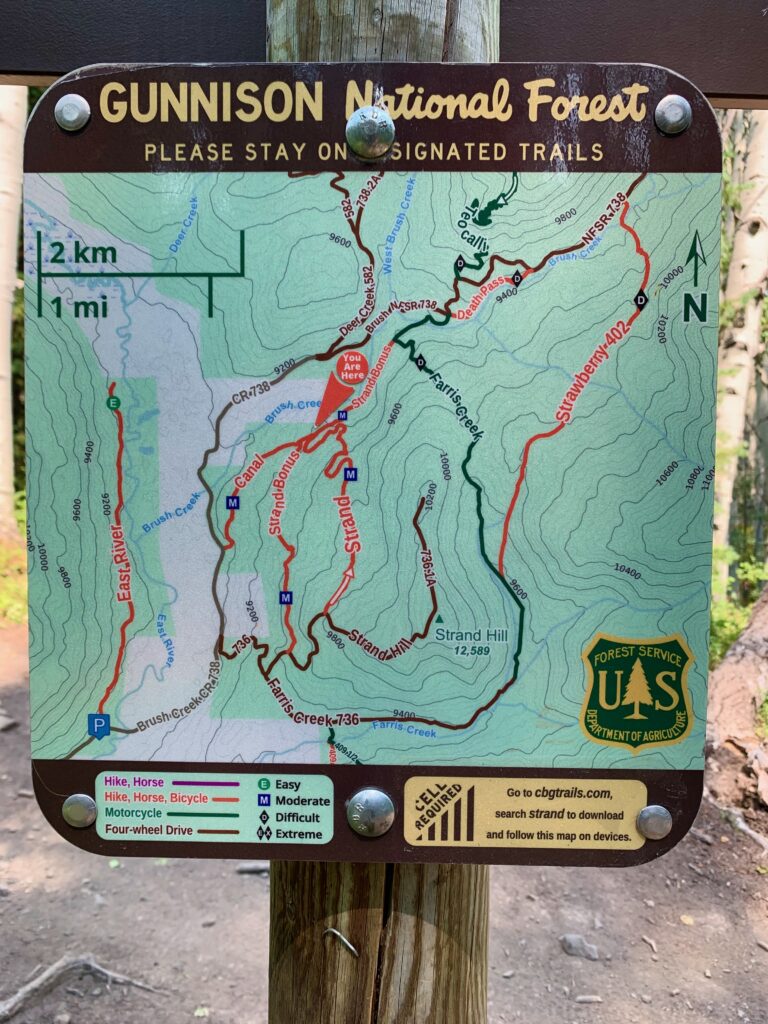
Trail map at the East River trailhead. Nearly limitless options for adventure.
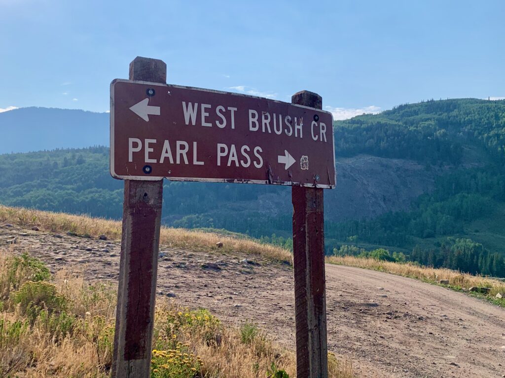
Split for the West Brush Creek Road, which takes you up to Teocalli Ridge. Brush Creek Road stays in the drainage and becomes the Pearl Pass Road.
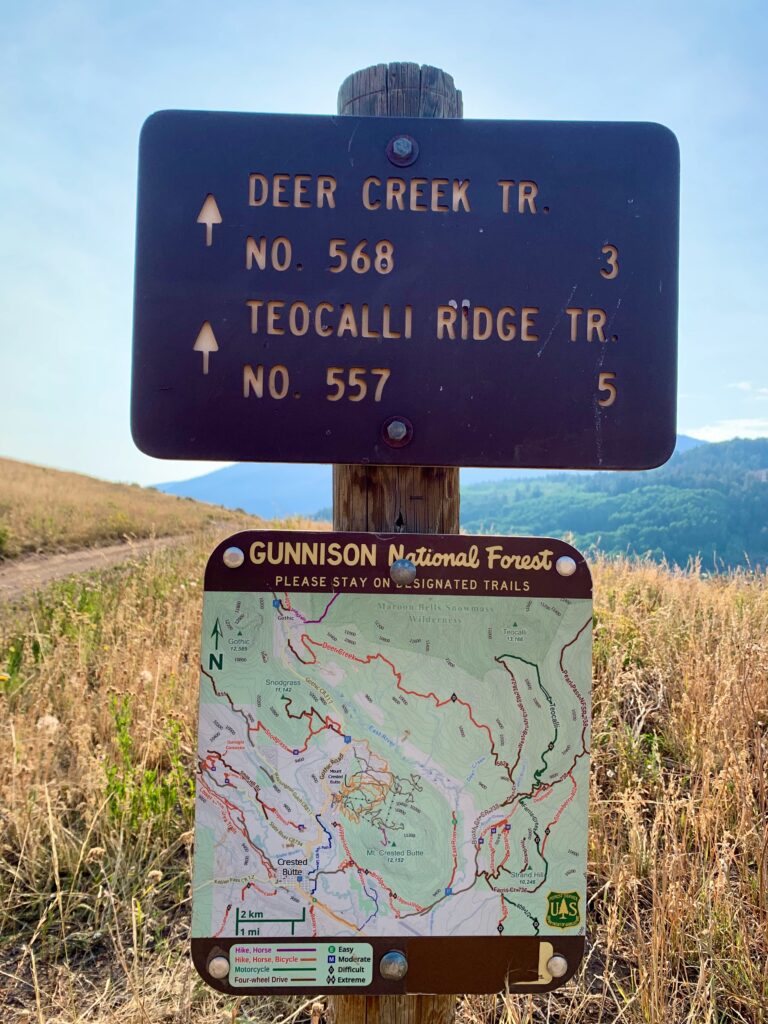
West Brush Creek Road is four wheel drive, but aside from the first and last half miles, which are steep and rocky, it’s a mostly mellow and scenic climb. There are numerous beaver ponds and one surprisingly long section where the road is the creek.
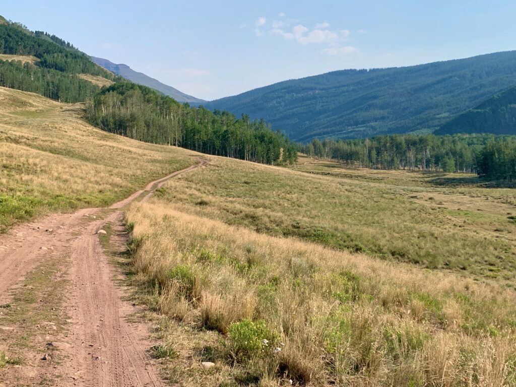
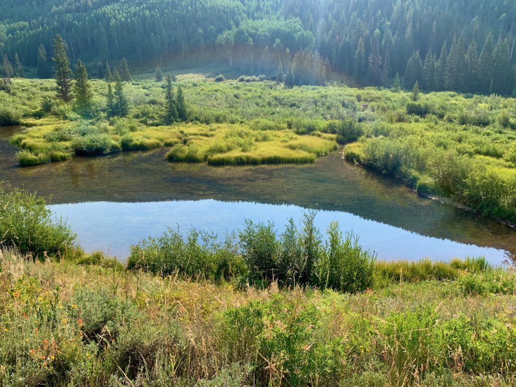
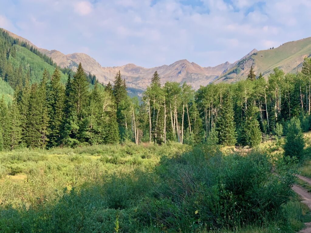
The road dead ends at the base of Teocalli Mountain. The Teocalli Mountain Trail starts where the road ends.
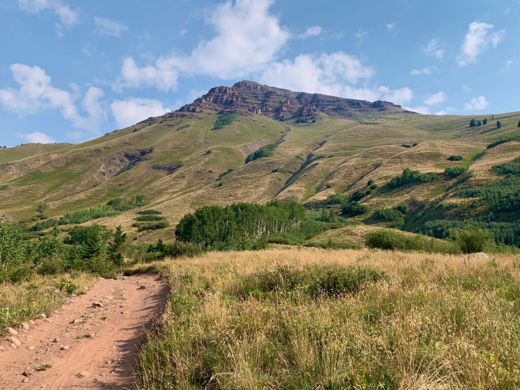
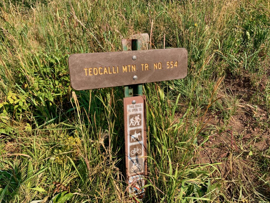
The Teocalli Mountain Trail is a one-mile climb up to Teocalli ridge. It’s not to be taken lightly. I’d seen videos in which people say as much, but with videos it’s sometimes hard to tell how strong a rider the person who made the recording is. I tend to take online trail descriptions from strangers with a grain of salt. Photos and video don’t do it justice anyway. It’s not rough, but there are long, sustained steep sections that will quickly max out your heart rate. And there are multiple sections that are purely hike-a-bike. I’m not sure a pro mountain biker could ride the entire thing without stopping.
The reason is, as noted on the trail maps, the Teocalli trails were built for motorcycles. Under a skilled rider, a 450cc trail bike will go up and over just about anything. Steepness is not an issue. But that doesn’t translate well into an enjoyable ride on a mountain bike. Modern mountain bikes are incredibly capable at handling the gnarliest downhills. Uphills though, still require human power output, which is no match for that of a motorcycle. So yeah, getting up to Teocalli Ridge is not easy. Type 2 fun, for sure.
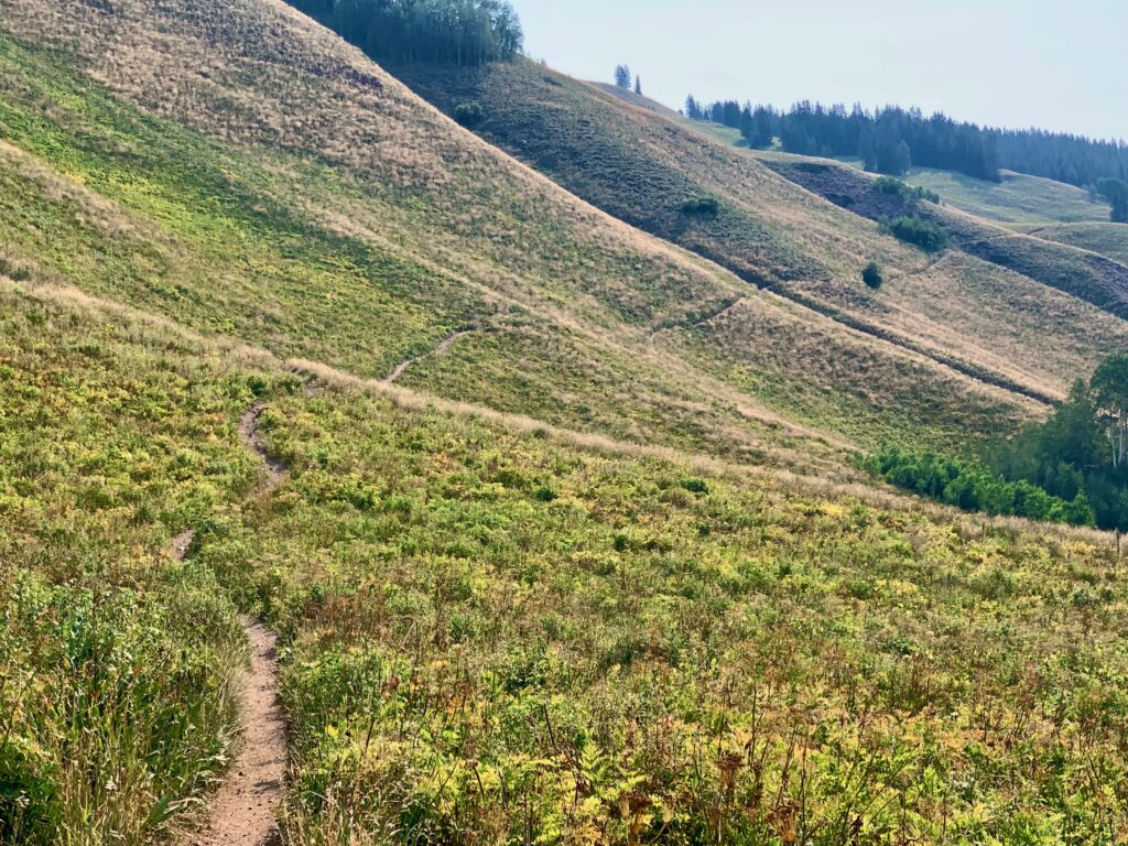
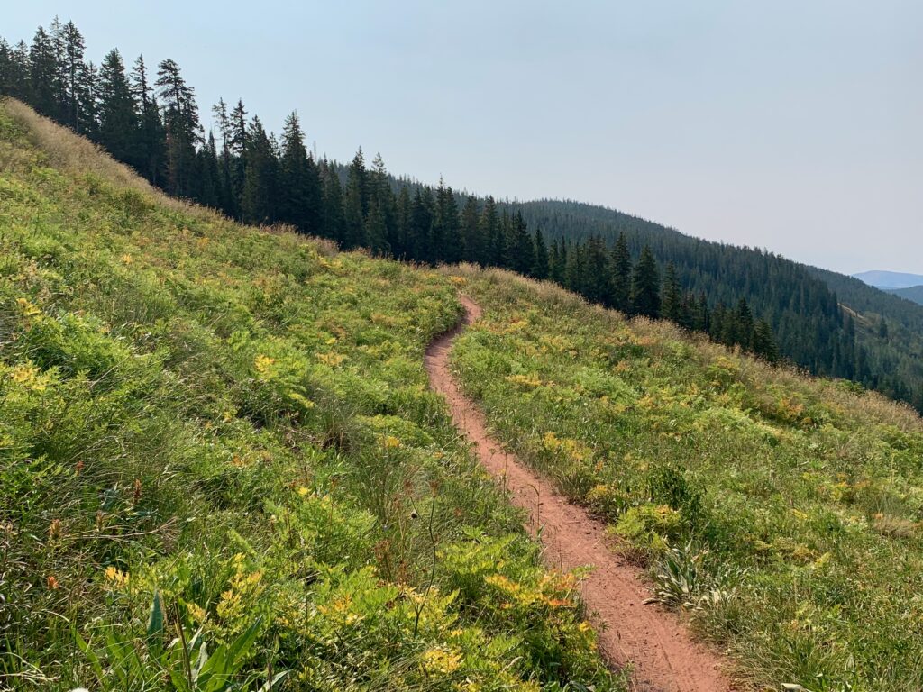
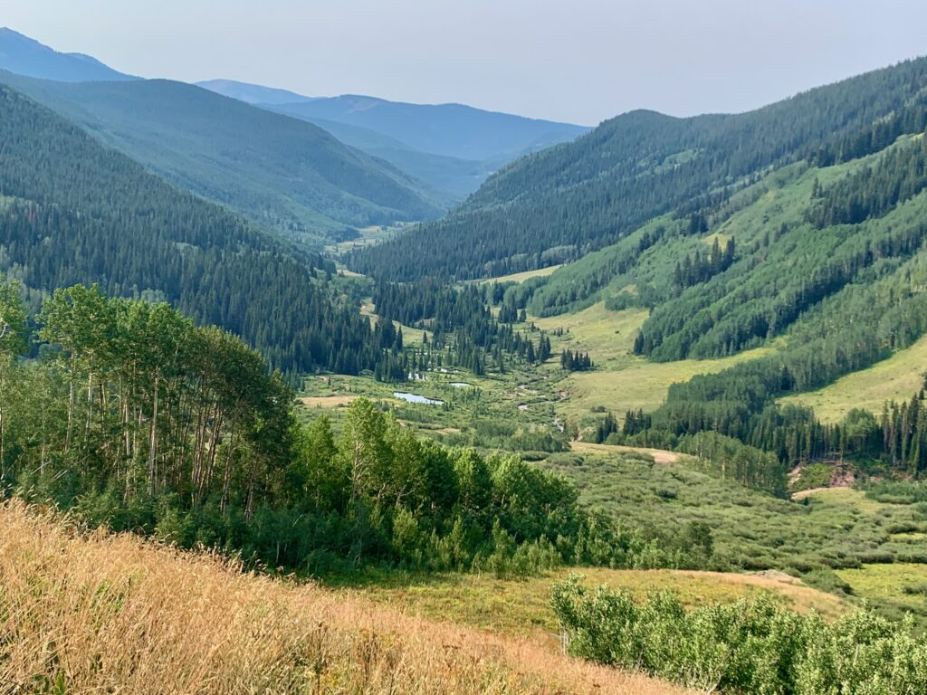
But the views back down West Brush Creek help take your mind off your suffering.
Start of the Teocalli Ridge Trail. Oh, and here’s the kicker. The downhill doesn’t start when you get to the Teocalli Ridge trail. There is still approximately another mile of ups and downs before the descent officially starts. Most of the remaining ups are gradual and rideable but there was at least one steep section, rutted up by motos, that required another hike-a-bike.
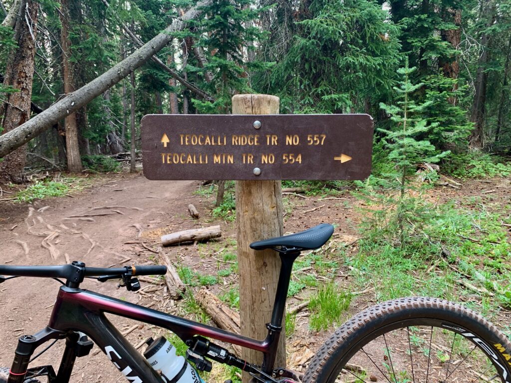
But once things finally start pointing downhill, Teocalli Ridge is amazing. The descent is rough in sections, again due to trail damage caused by motos. There are steep drops, deep ruts, and places where the single track is a maze of multiple lines. As a non-moto guy, the damage is rather sickening; but as a mountain biker, the technical appeal is undeniable. As the trail gets lower on the ridge, the steepness eases, the trail smooths out, and the riding becomes pure joy as you fly through thick pine forest, aspen groves and open meadows. In total, it’s approximately four miles of descending.
At the bottom of Teocalli Ridge. The locals seemed unimpressed by my descending skills.
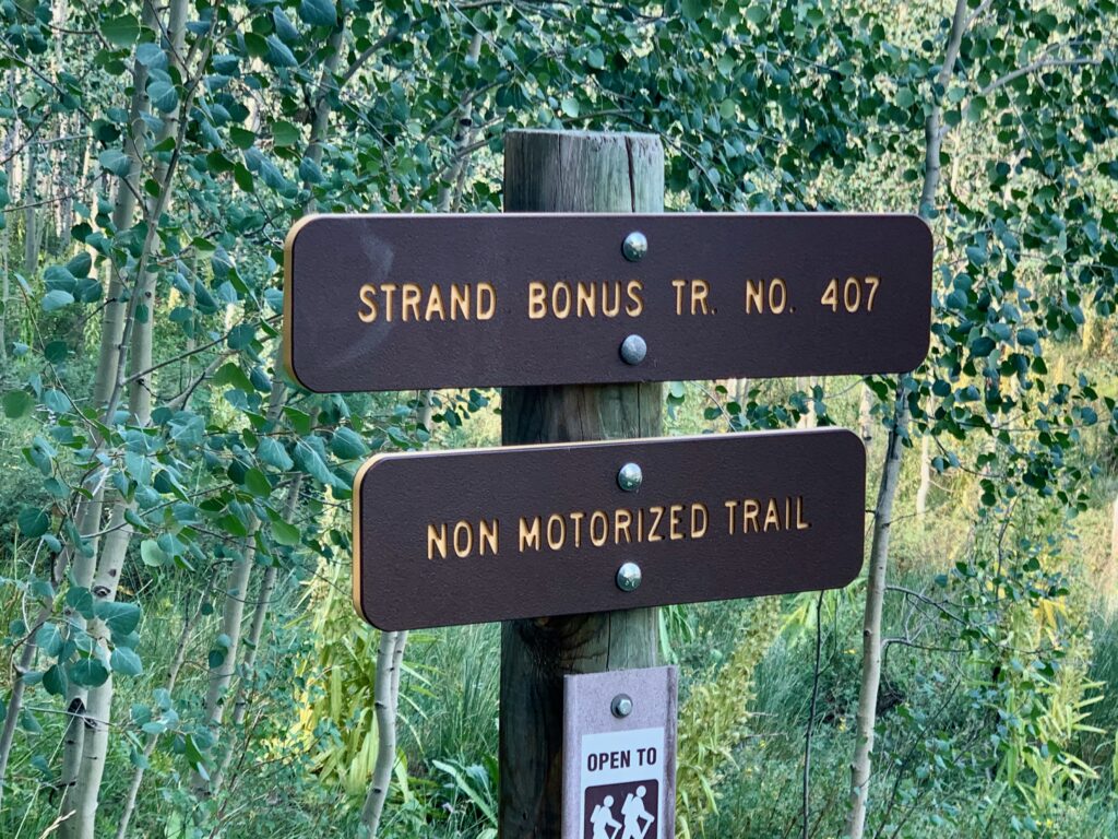
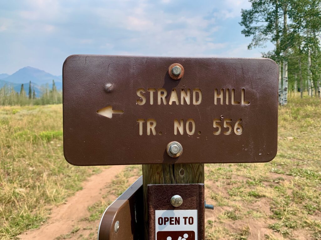
Start of the Strand Hill loop. The Strand Bonus Trail takes you to the loop and is the climb. The Strand Hill Trail is the descent. All non-motorized, so a much smoother ride.
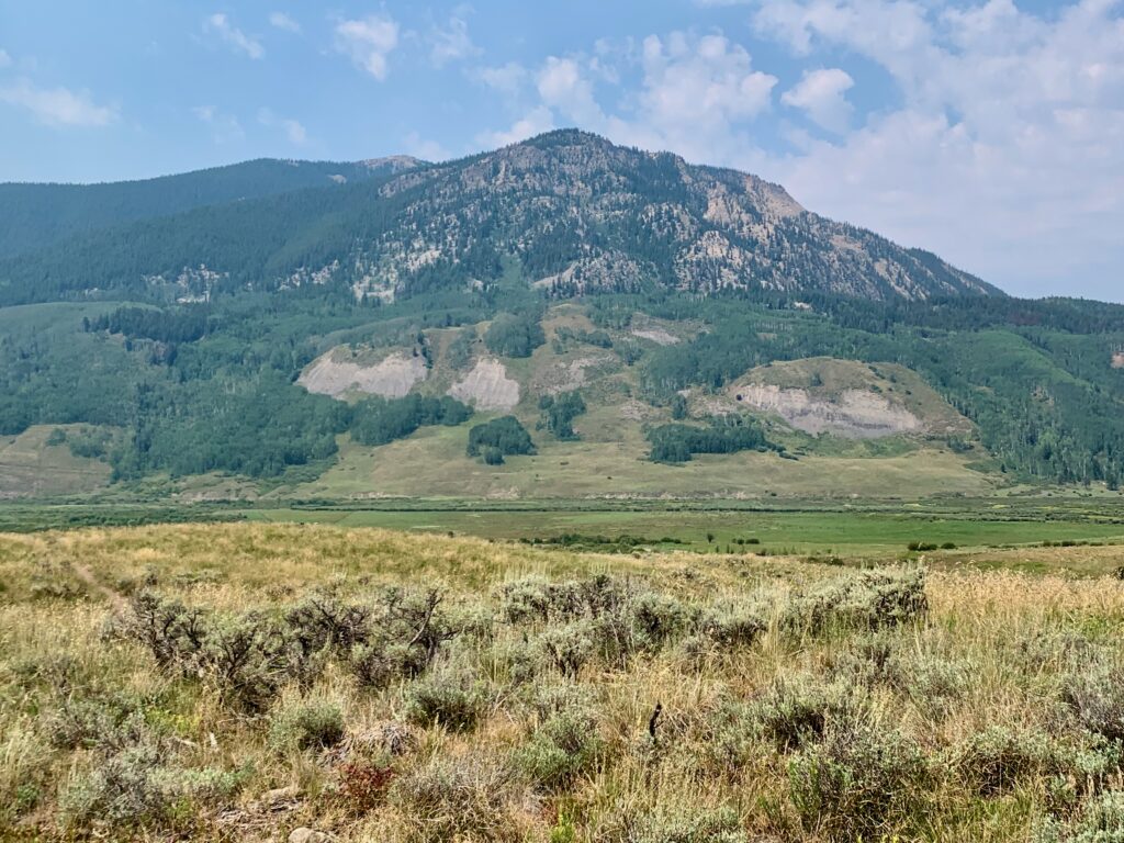
The backside of Mt. Crested Butte from the Canal Trail.
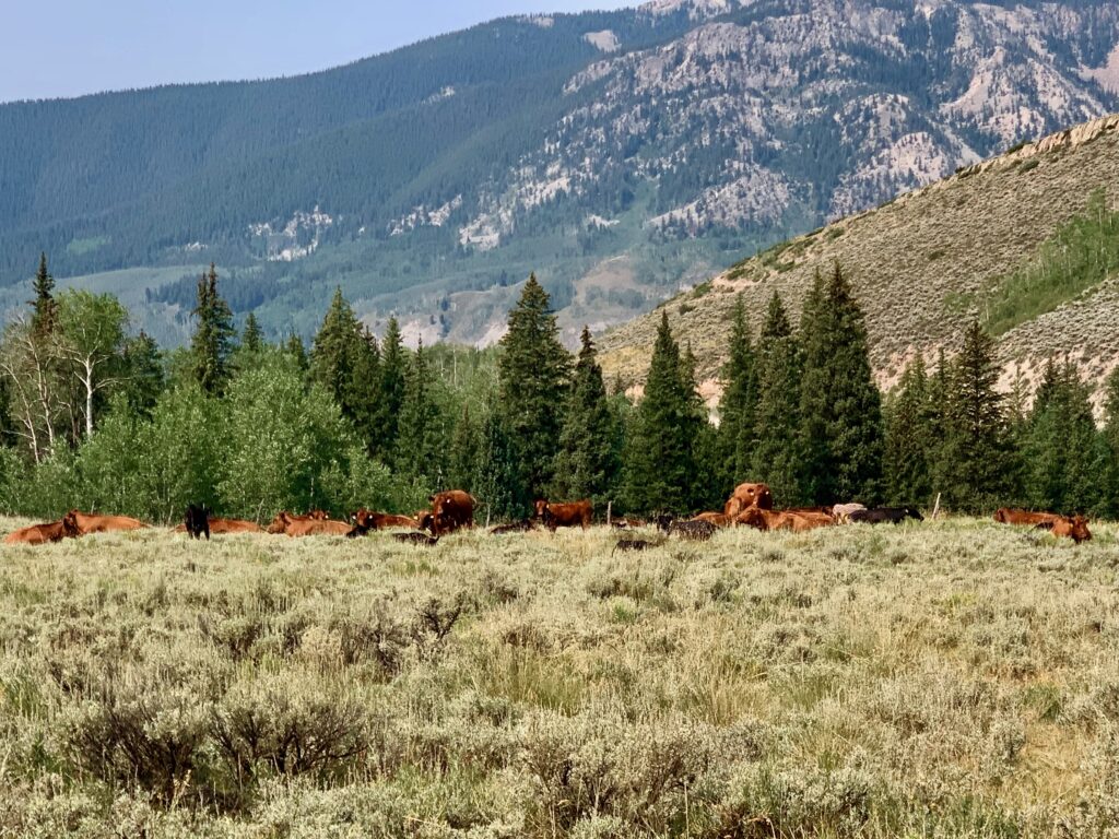
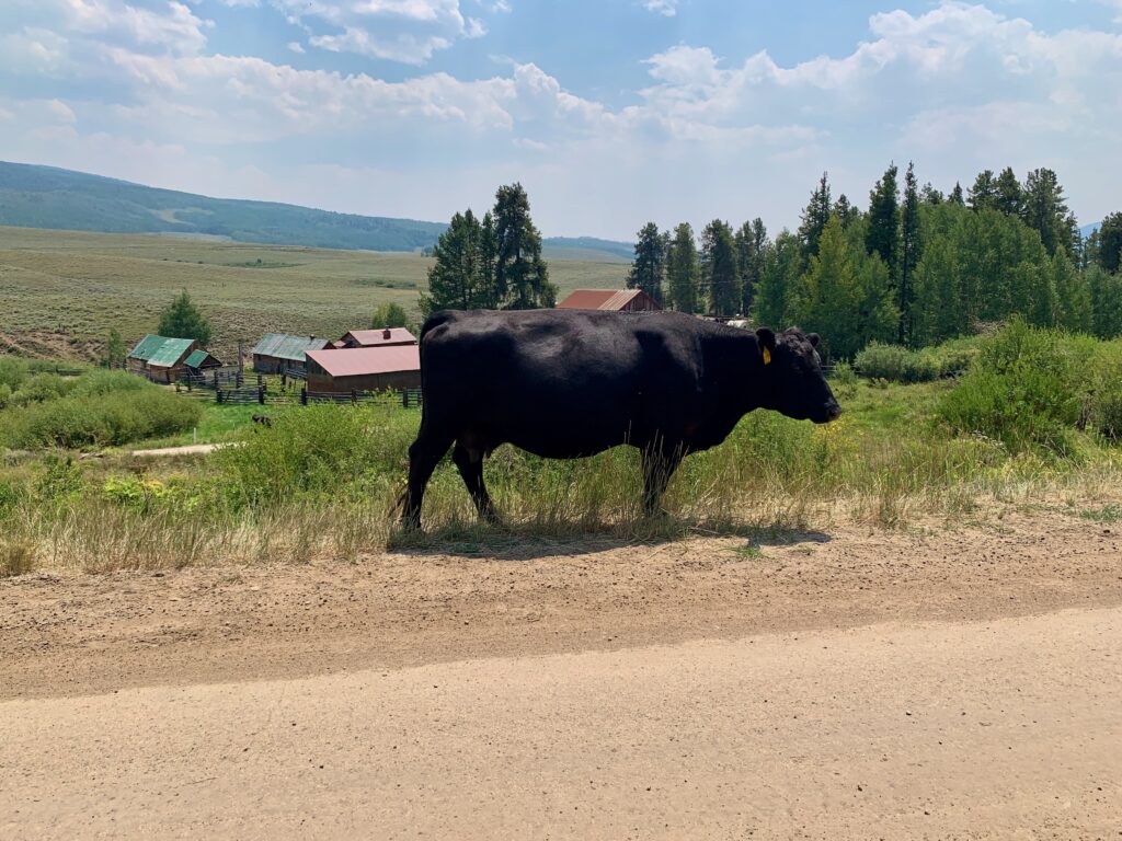
Summer in Crested Butte is known for its free-range cattle. I’ve seen them on the trails, on the roads, and in meadows at 11,000 feet. When I got back to the car, there were several of them milling around the trailhead, munching on the tall mid-summer grass around the parking lot. Life is good when you’re a Crested Butte cow.
Here’s the video:
I thoroughly enjoyed my ride of both Teocalli Ridge and Strand Hill. I’m so glad I decided to venture beyond the familiar environs of the 401 and 403 trails. Teocalli is rated a black diamond trail and earns that designation with a brutal climb and a rugged downhill. It’s perfect for folks who like to go fast downhill and aren’t afraid of a little suffering to get there. Would I do it again? Yeah, probably, it’s an incredibly beautiful trail. Just give me some time to forget about that climb.
The Strand Hill loop is a much more reasonable endeavor. Rated as blue trails, the climb is mellow and scenic, although there is a mile and a half of rough four-wheel-drive road at the top that I conveniently left out of the video. The descent is fast and flowy through some of the most gorgeous aspen groves I’ve seen anywhere. And like Teocalli, it seems to go on and on, longer than the mileage indicated on the map.
All in all, it was a great day in the mountains. Crested Butte remains one of my favorite places in all of Colorado.