We humans love our lists. The best movies. The greatest novels. The longest rivers. The fastest land animals. The tallest mountains.
That last one carries particular relevance around these parts. Colorado is home to 53 of the highest mountains in the continental U.S. The most of any state in the lower 48. Those mountains are called “fourteeners” or more simply “14ers” because they are all over 14,000 feet in altitude. Every year climbers from all over the world flock to the high country to climb and tick them off their list.
But there are hundreds of other mountains in Colorado. Are those not worthy to be climbed as well? Why do we fixate on the numbers? Is a 14,000-foot mountain more deserving of veneration than a 13,999-foot mountain? It’s just a number. In addition to the 14ers, climbers talk about the 13ers, the 12ers, etc. For hardcore list tickers there are the highest 100 (the Centennials) and even the highest 200 (the Bi-Centennials).
For my next high country outing, I was planning to do a couple of easier 14ers in the San Juan mountains in the southwest corner of the state. After my defeat on Challenger, I was looking for something a little less problematic, a little more certain. But I swear, the older I get the less inclined I am to get into a car for a long drive to have fun. Facing five hours of windshield time and an overnight in a divey mountain motel, I decided to look for adventure closer to home.
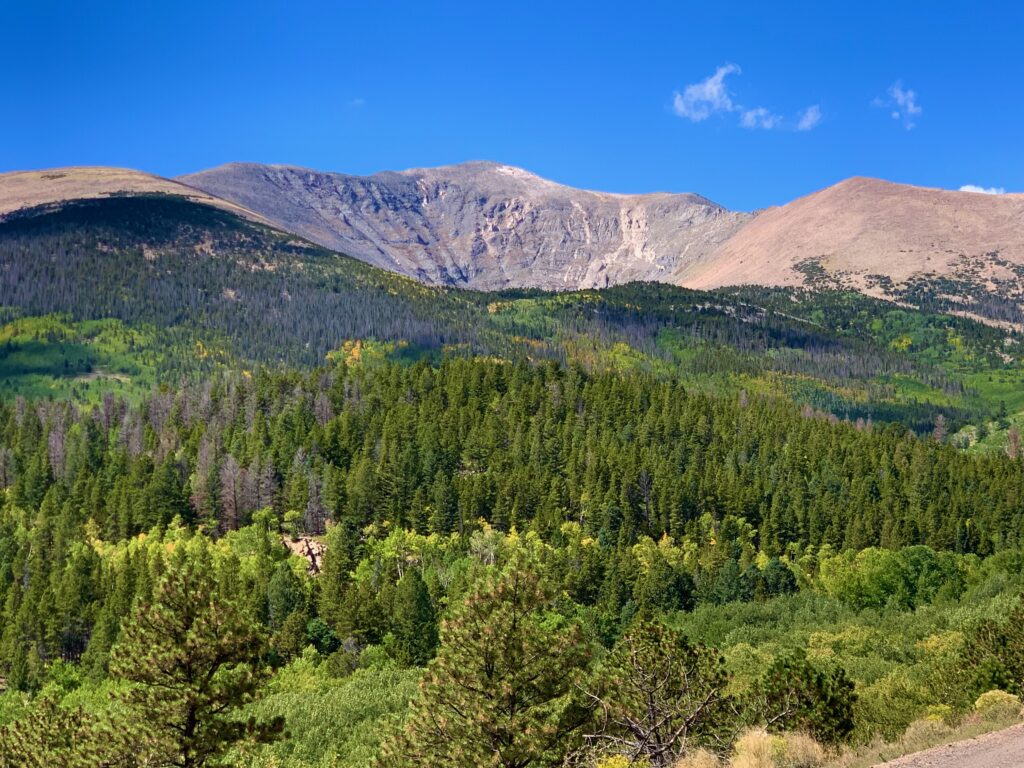
That’s when I decided on local 13er Mt. Ouray. Ouray is one of the mountains around here that is almost always in view. Like Shavano, Antero and Princeton, Ouray is there watching over us when we’re riding the local trails or running errands around town. Its massive profile is a familiar shape on the southwest skyline. Why drive five hours when this beautiful peak is right in the neighborhood?
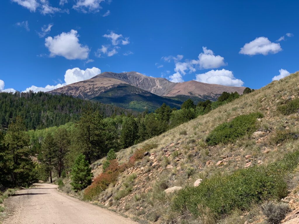
Mt. Ouray was named after the eminent Native American chief of the Ute tribe who lived in the area that is now Colorado. If you want to talk numbers, at 13,979 feet Ouray is only 21 feet short of that number that makes climbers lose their minds. It’s the fourth tallest 13er in the state, Fifty seventh on the list of Centennials and Bi-Centennials. A not insignificant mountain. And in case you were wondering, the proper pronunciation is “yir-AY”, not “OO-ray”.
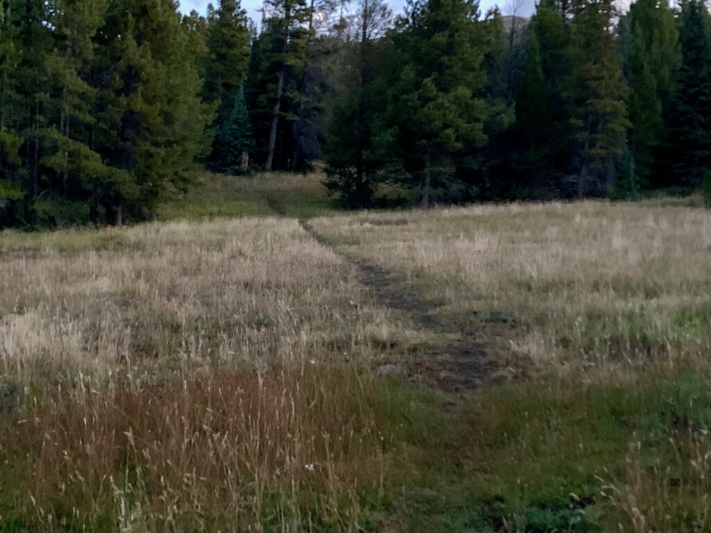
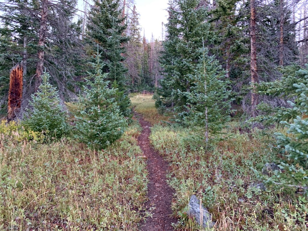
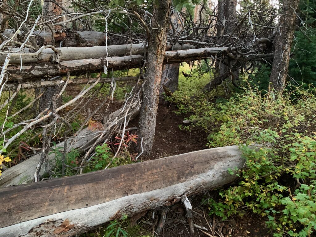
Ouray would be my first 13er climb. Now days, it’s easy to find route and trailhead information on 13ers online, but there is a noticeable difference. Compared to a typical 14er, hiking Ouray has a more do-it-yourself feel. Starting at the trailhead. No giant, three-panel sign with a trail map, facts about the local wildlife, and general backcountry safety. No directional or even trail name signs. Just a faint path into the woods in the dim morning light.
The trail was easy to follow in the woods but became more intermittent higher up. There were multiple spots blocked with old downed trees, something you rarely see on a 14er hike because the forest service or volunteer organizations tend to clear them quickly on those popular trails. In the woods there was fair amount of climbing over or ducking under downed trees.
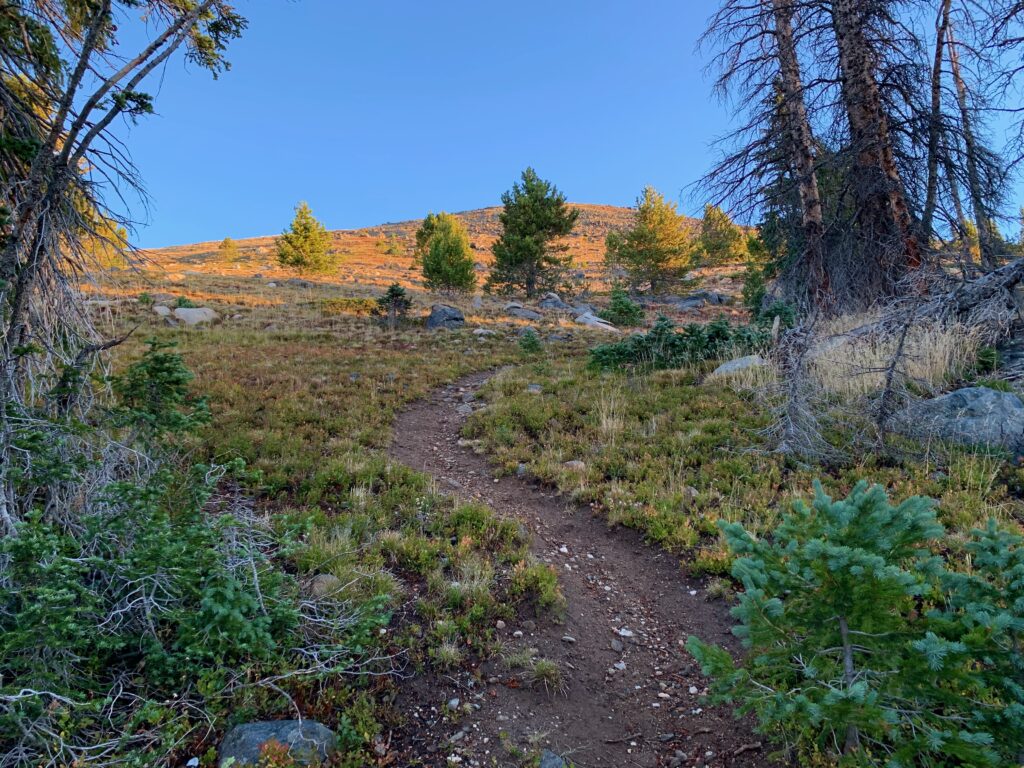
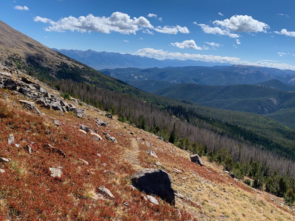
I broke timberline just as the sun was hitting the higher slopes.
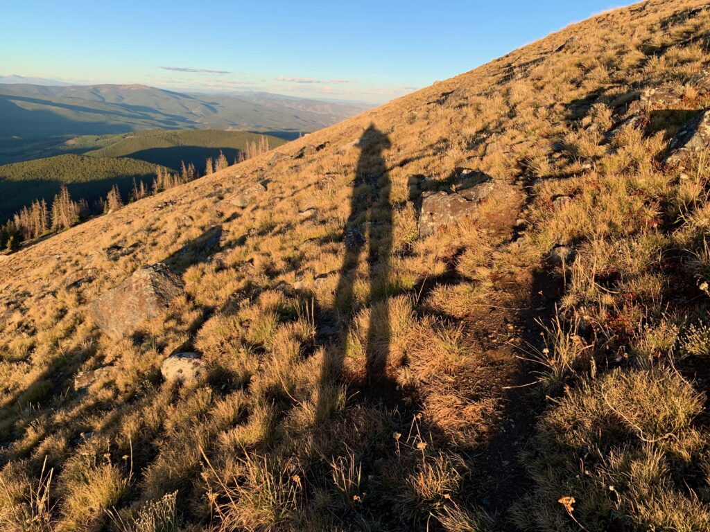
Loooong shadow in the morning sun.
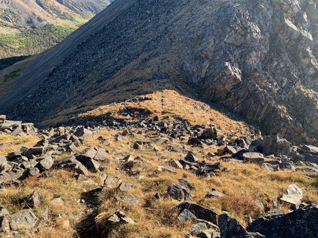
The trail became faint as it alternated from grass to rock.
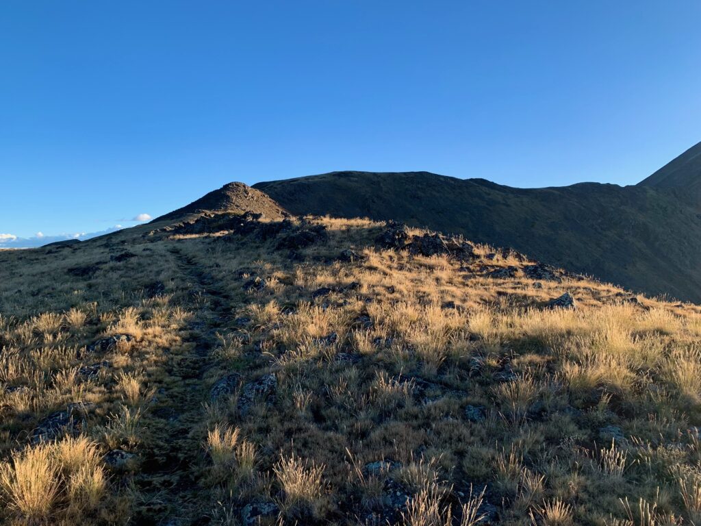
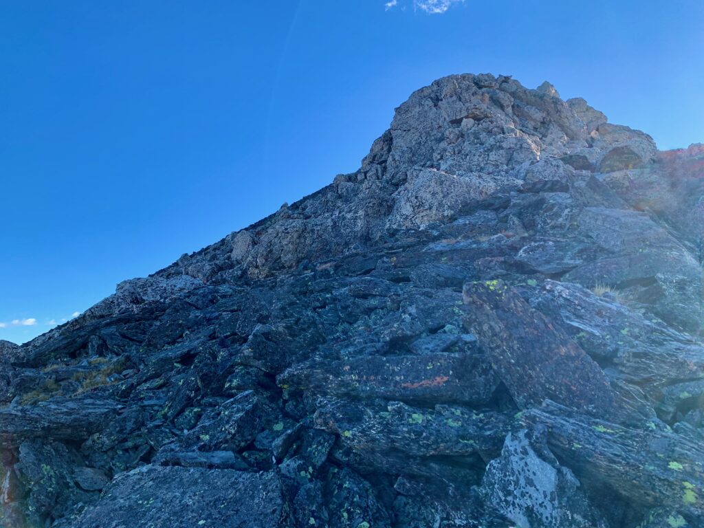
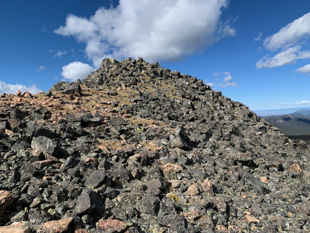
Ouray’s summit comes into view.
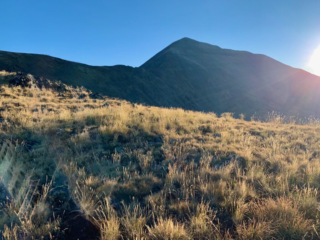
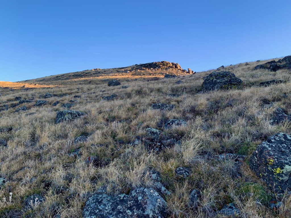
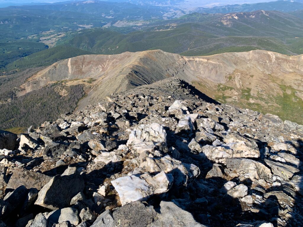
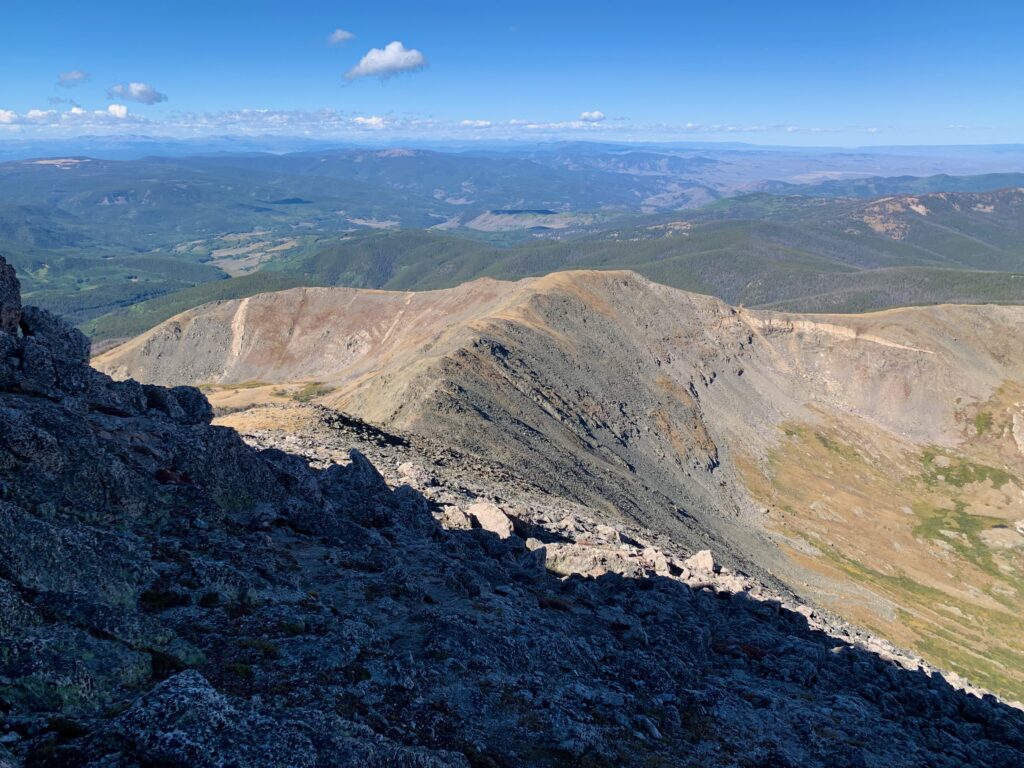
Things started getting rockier as I rounded the corner onto Ouray’s west ridge.
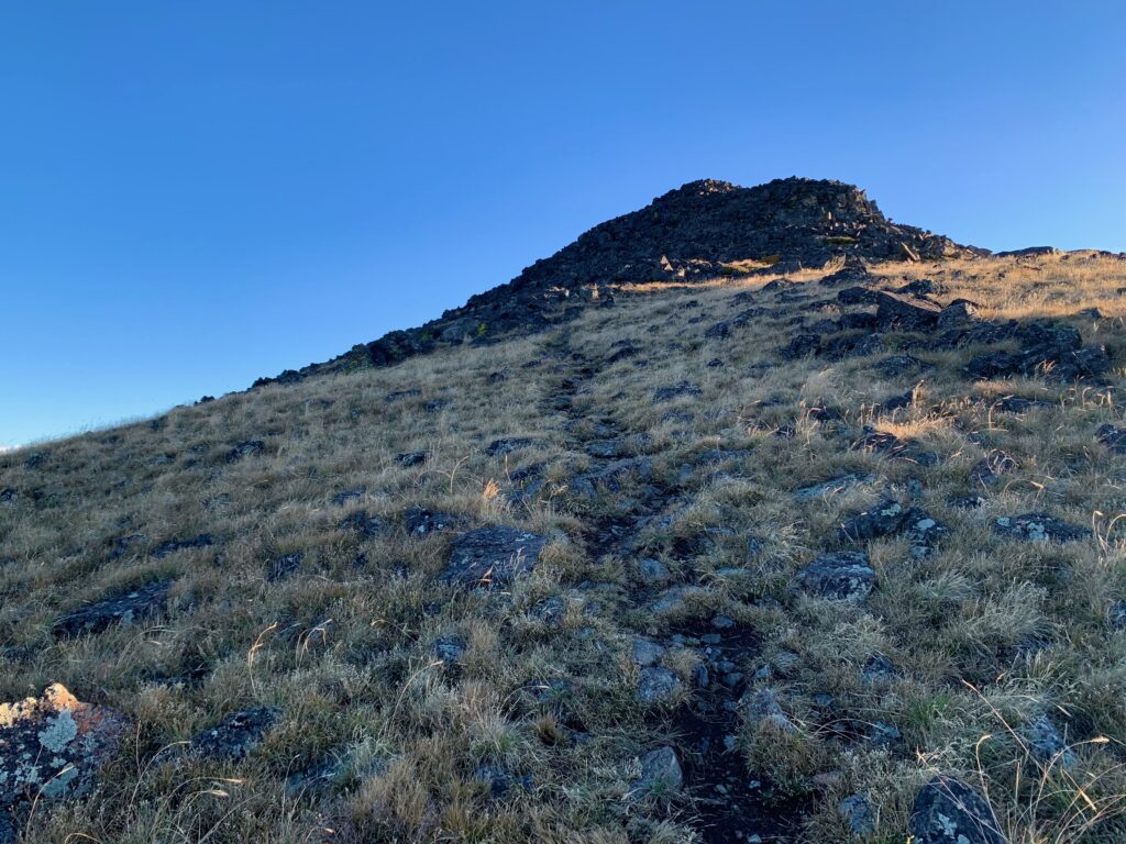
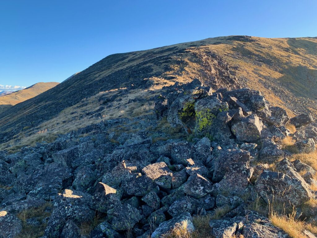
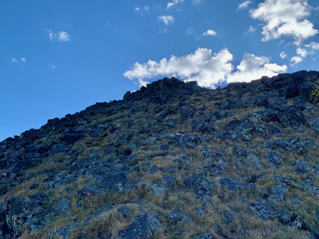
There were several down climbs on the west ridge. The largest one was just before the start of the summit pitch.
Looking up the summit pitch from the bottom.
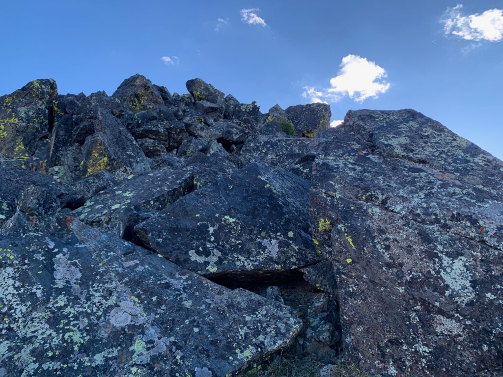
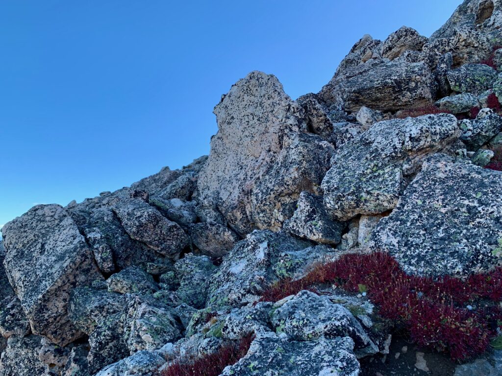
A little higher up things started to get gnarly. Unlike on Challenger, though, these rocks were solid, pretty much unmovable. They made for some entertaining hand-over-foot scrambling.
About two-thirds of the way up the summit pitch there is this outcropping of distinctly different looking white rock. As I climbed around it I noticed it’s actually made up of giant chunks of pink and milky quartz with veins of darker rock running through it. Probably the most quartz I’d ever seen in a single location.
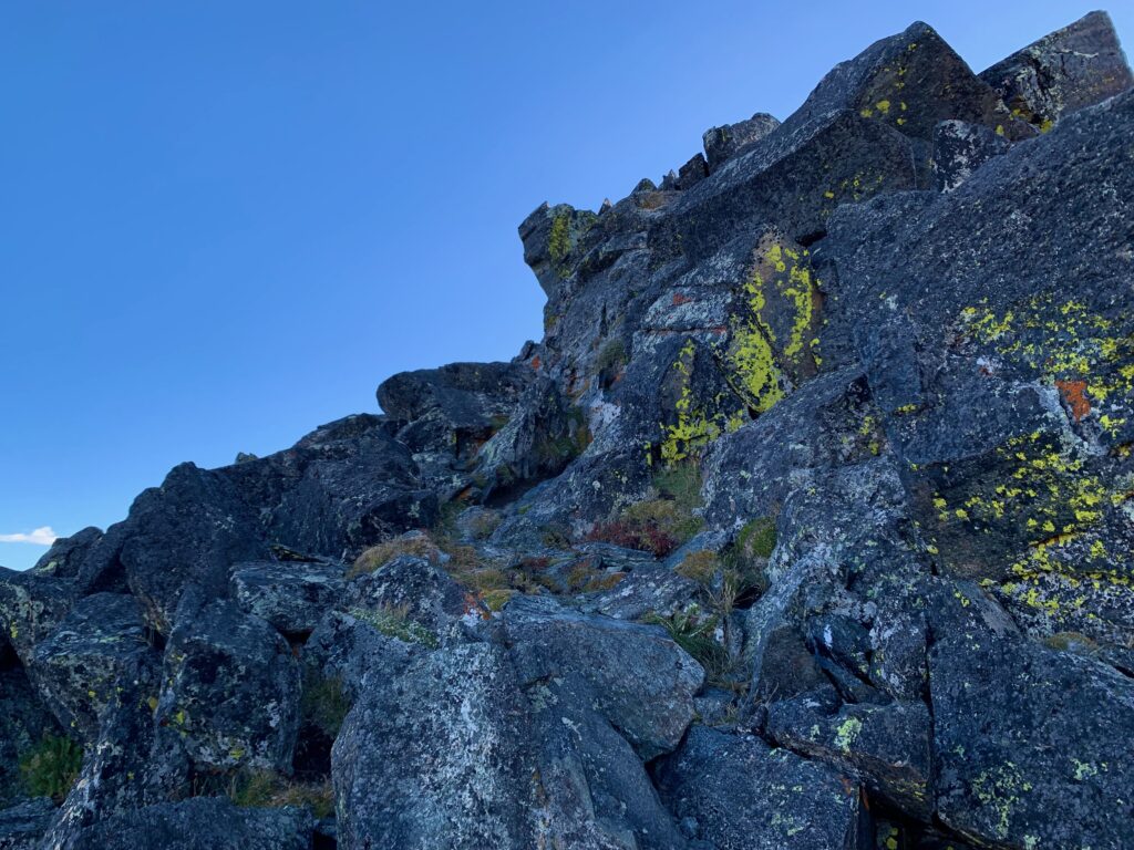
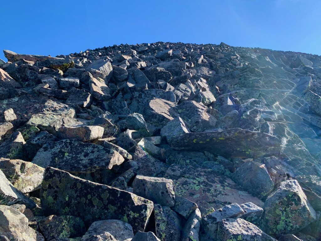
Last section of the summit pitch.
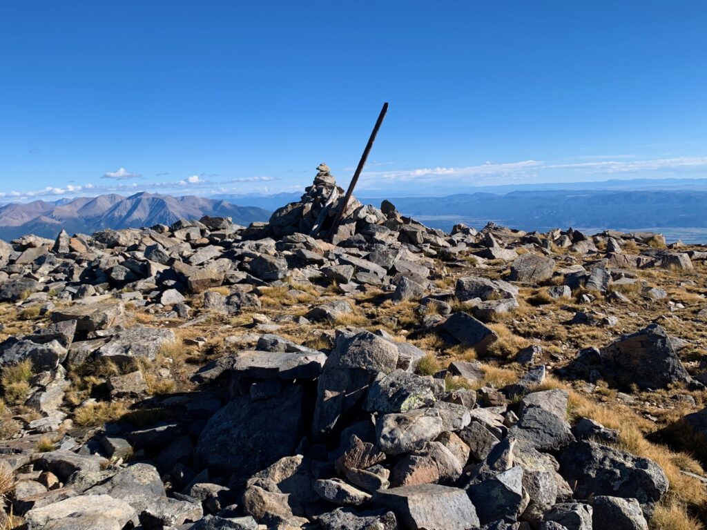
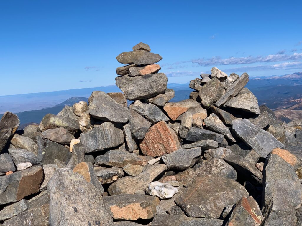
Ouray’s summit.
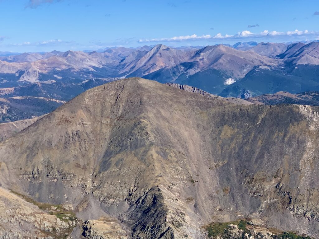
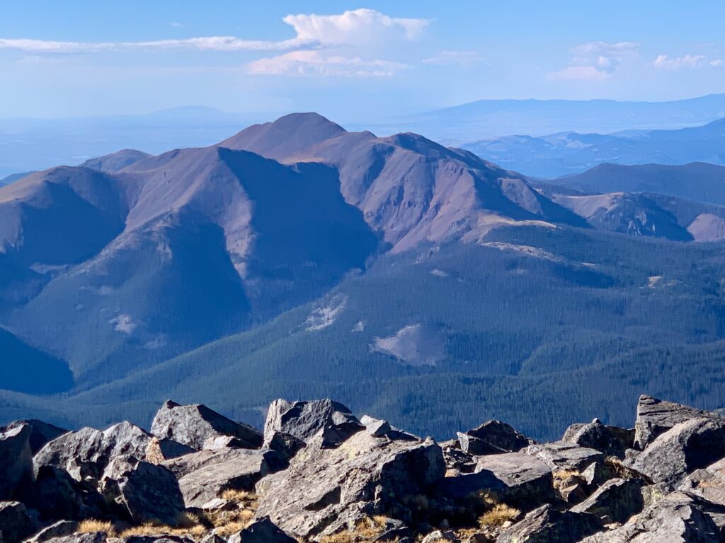
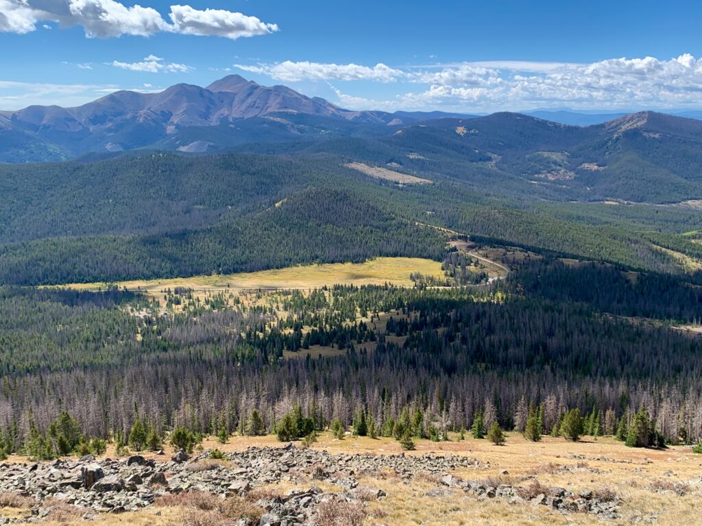
And the views… Chipeta Peak (named for Chief Ouray’s wife) in the foreground with Aetna and Taylor behind.
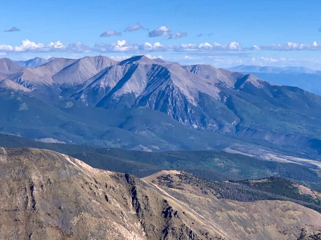
Tabeguache, Shavano and friends to the north.
And there’s Monarch!
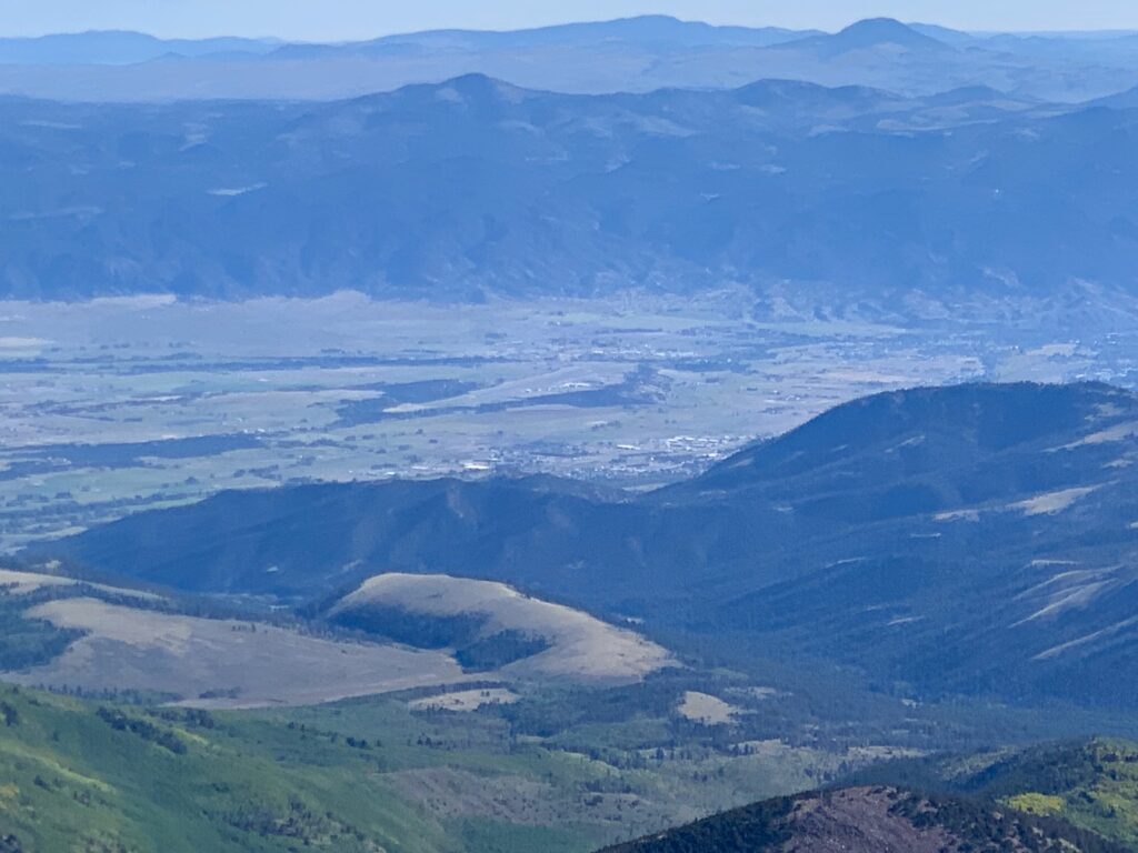
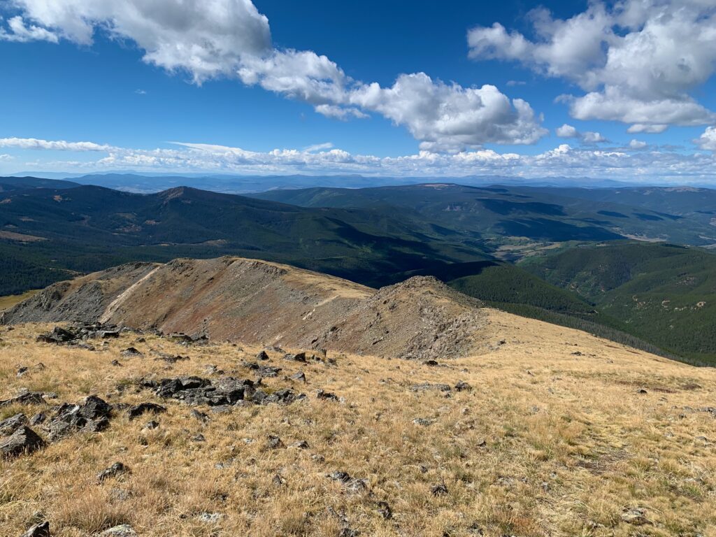
Poncha Springs and the western edge of Salida to the northeast.
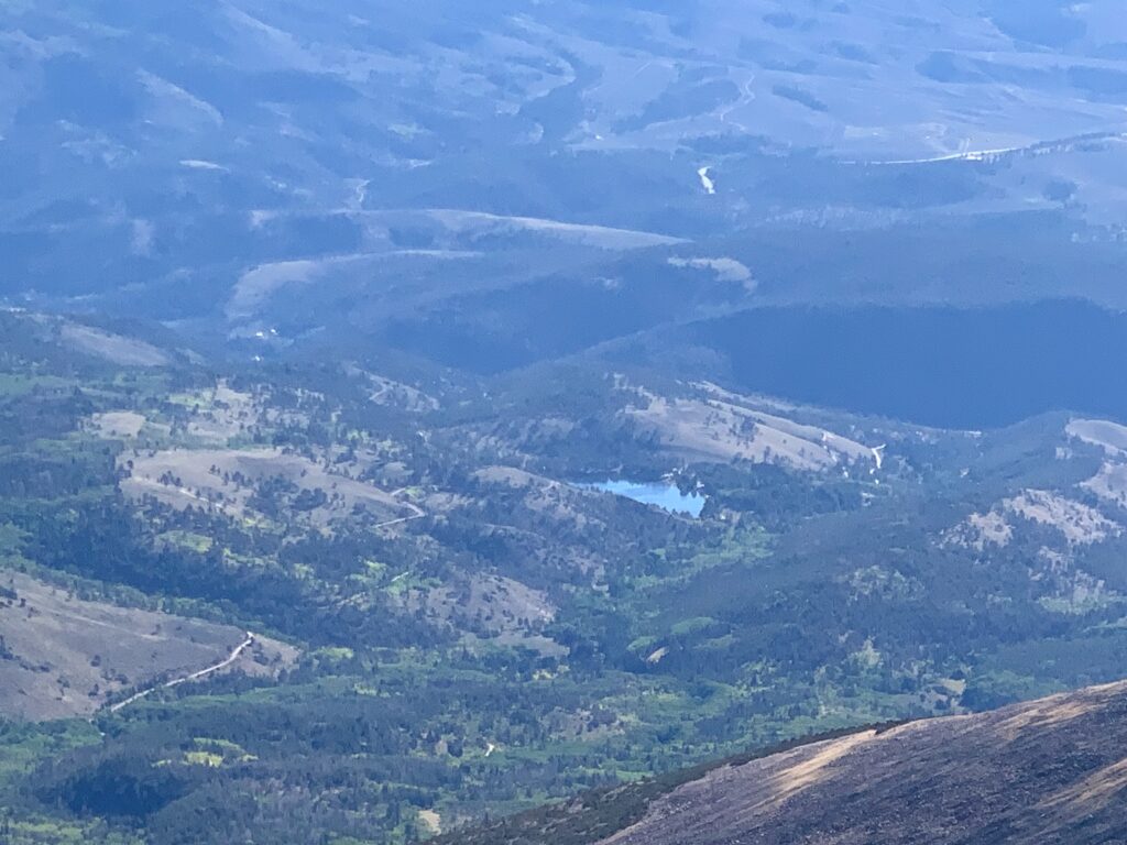
O’Haver Lake.
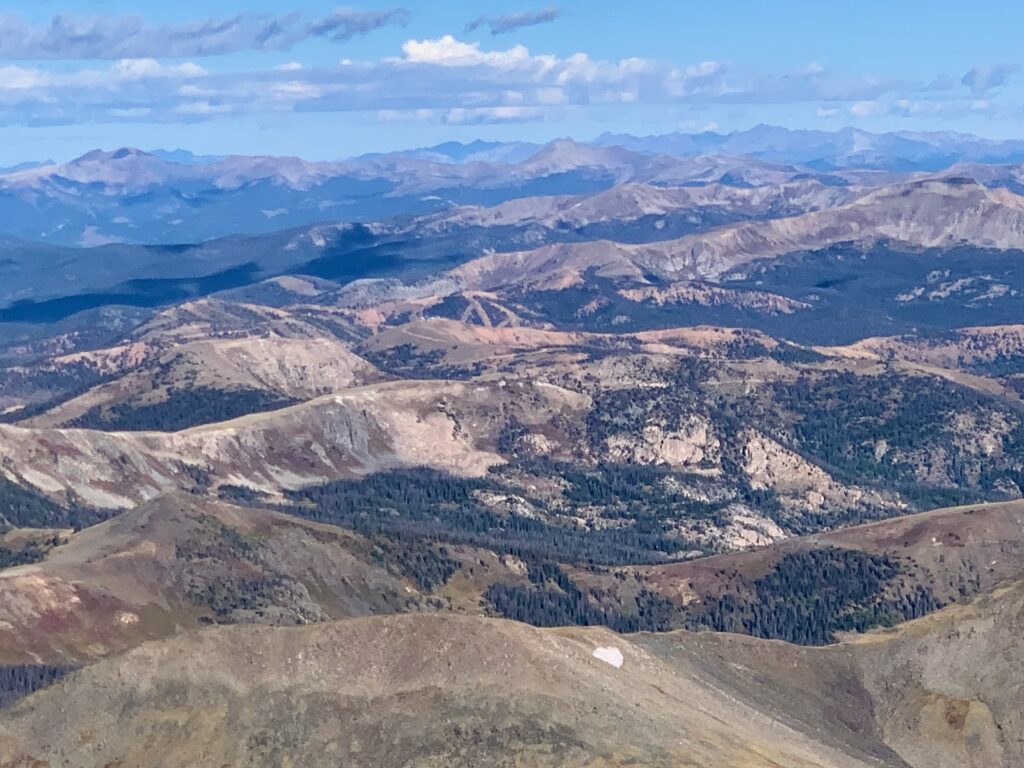
Antora Peak to the south.
The hike up the west ridge was windy and surprisingly chilly. It was easy to stay warm while climbing but I was concerned that my time on the summit would have to be short. But amazingly, at around 13,800 feet I climbed out of the wind to find a calm, sunny summit. I took a leisurely lunch on a rock near the summit cairn then bundled up again for the climb back down.
Of course, it wasn’t all downhill. Heading back, those down climbs were now up climbs.
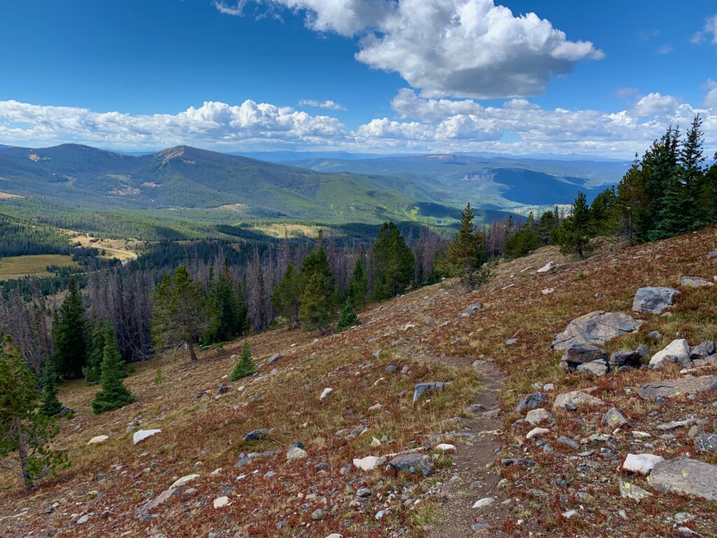
Back down to mellower terrain.
Another view of Antora Peak with Marshall Pass in the foreground.
Back down to the trees.
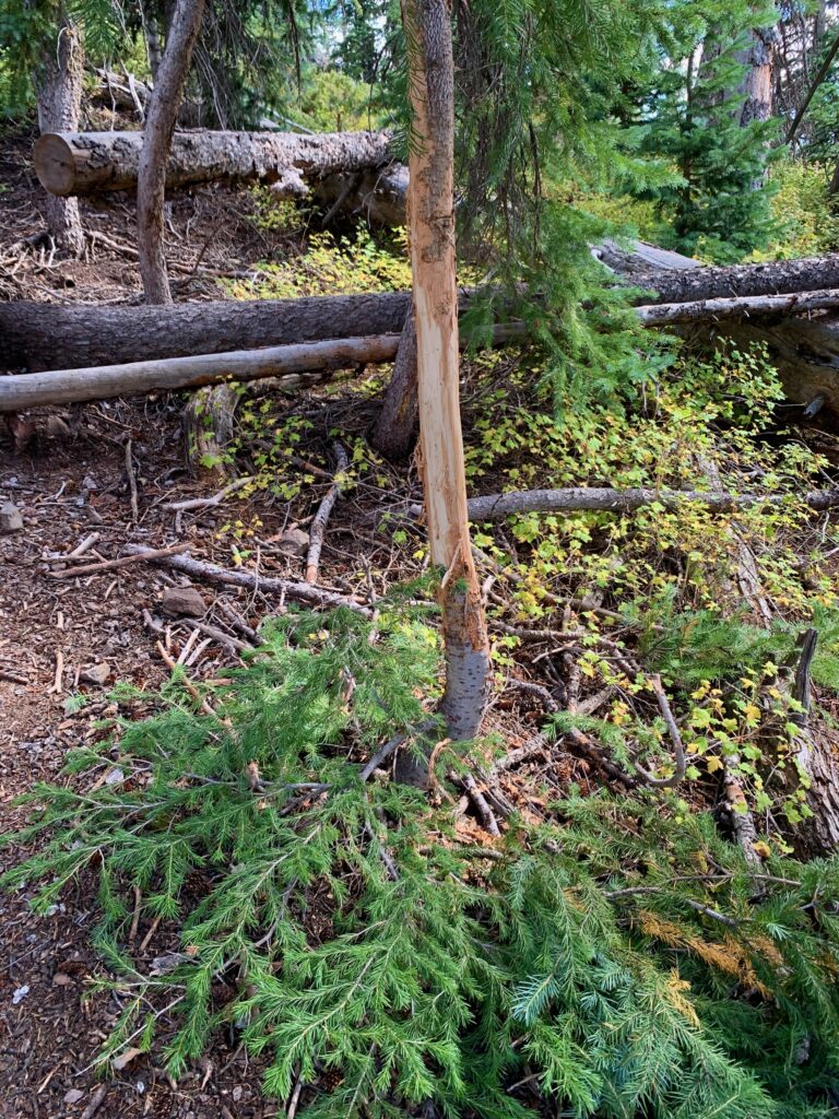
Looks like someone’s been busy scraping velvet off their antlers.
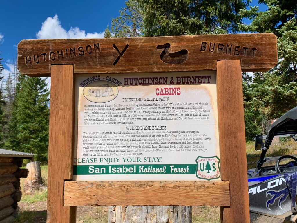
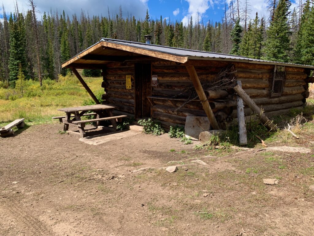
Back down at the trailhead in daylight I took a few minutes to check out the Hutchinson Burnett cabin. Available for camping on a first come, first served basis. It was presently occupied by a 79-year-old Grizzly Adams clone of a guy who was spending the weekend there. We chatted for a few minutes. I told him about my hike but I didn’t get a look inside the cabin.
It was a great day in the mountains. Very cool to climb something in the neighborhood and to see the surrounding terrain from a completely different perspective. It was incredibly satisfying to summit a big mountain again. And you know what? I didn’t even miss those extra 21 feet. Afterall, it’s nothing but a number.