I had some unfinished business with a certain trail that heads up North Fooses Creek.
After my last attempt, where I turned around at the lower gate only to find out later that it’s doable, I was feeling a serious need to go back and try it again.
For one thing, I wanted to see how tough the North Fooses segment actually is. On a map it’s a natural connector to the Monarch Crest but I’ve learned you can never fully trust a map in the mountains. Until you actually get out there and experience the terrain, you don’t really know what you’re up against.
When I’m by myself, I tend to take a conservative approach to unfamiliar terrain. The last thing you want to do is get in over your head alone in the mountains. Which is why I turned around the last time. I didn’t know what was beyond that gate but it didn’t look good. Once someone who’s familiar with it told me I was on the right track, I wanted to go back again and experience it for myself.
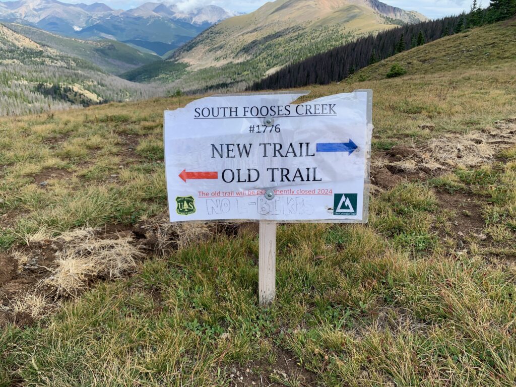
Plus, there was something else up there I wanted to see. The Forest Service just completed a re-route of Segment 15 of the Colorado Trail (CT) where it connects to the Monarch Crest. The old upper section was ridiculously steep and unsustainable from a drainage/erosion perspective. It was only rideable going down. Up was hiking only. Your choice if you wanted to push a bike or not. The new re-route is longer and gentler, taking a more winding route from South Fooses Creek at the bottom to the Monarch Crest ridgeline at the top. Re-routes of major trails like the CT are rare. I really wanted to see it for myself.
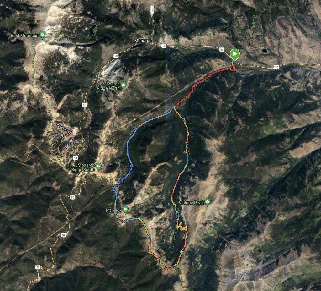
And of course, the Monarch Crest is always a treat. Such a beautiful trail. High alpine riding at its finest. This time around, it wasn’t going to be a full Monarch Crest ride-from-town extravaganza like I was attempting the last time. Instead, I plotted out a shorter, simpler course starting from the CT trailhead at highway 50, stringing the two Fooses trails together with the Crest as a connector, making a lollipop loop of about 20 miles. I was excited to try it out.
Starting up the South Fooses Creek road, I soon discovered the reason for the construction I had witnessed the last time I was up there. The Fooses Creek reservoir has been drained.
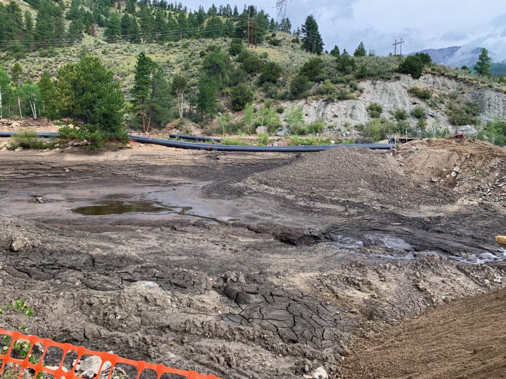
Fooses Creek Reservoir has been a popular fishing spot for decades. When I was a kid, my dad taught me to fish there. Even though I’m no longer a fisherman, it was kind of sad to see it drained down to a mud hole. End of an era. I understand the power company no longer needs the hydroelectric power provided by the dam so they are taking it out and returning the creek to a more natural state. The large pipes in the background are handling the stream flow while the dam is being removed.
Heading up the South Fooses Creek road above the reservoir.
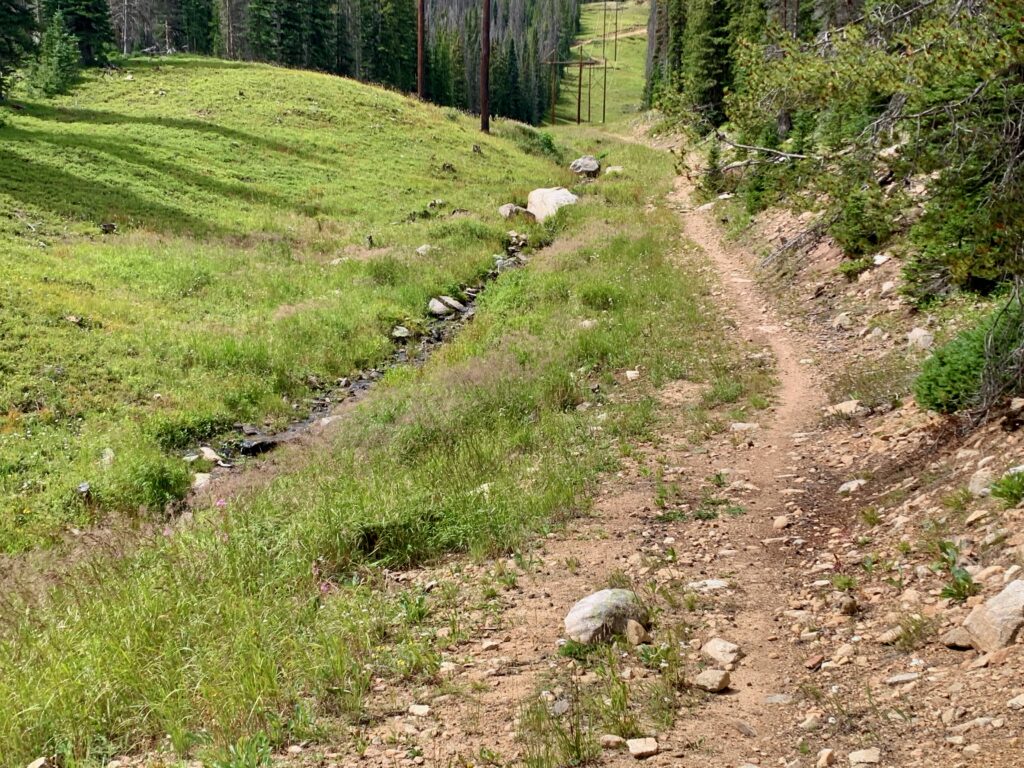
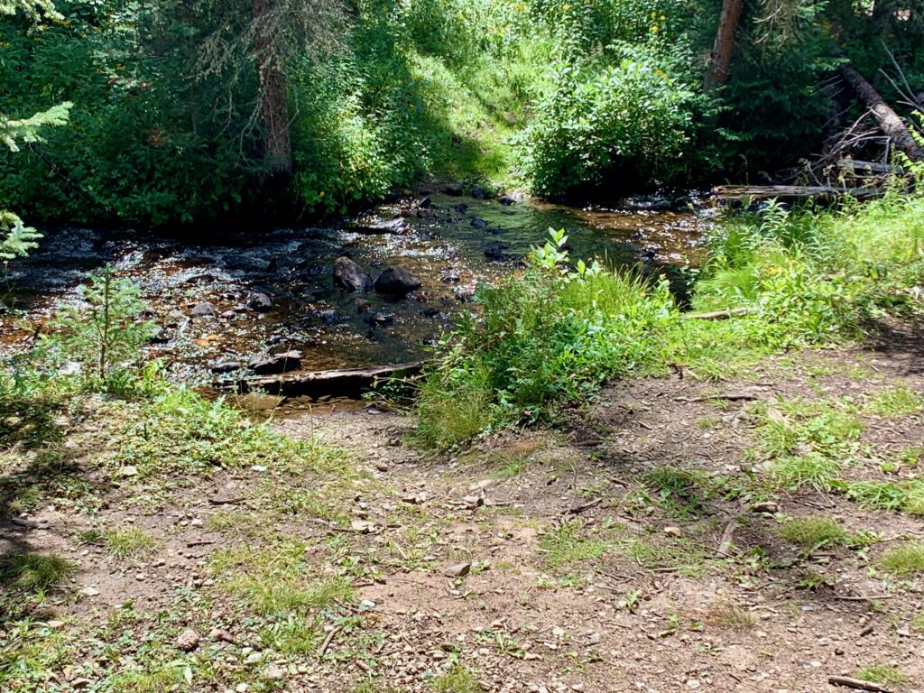
North Fooses creek and trail.
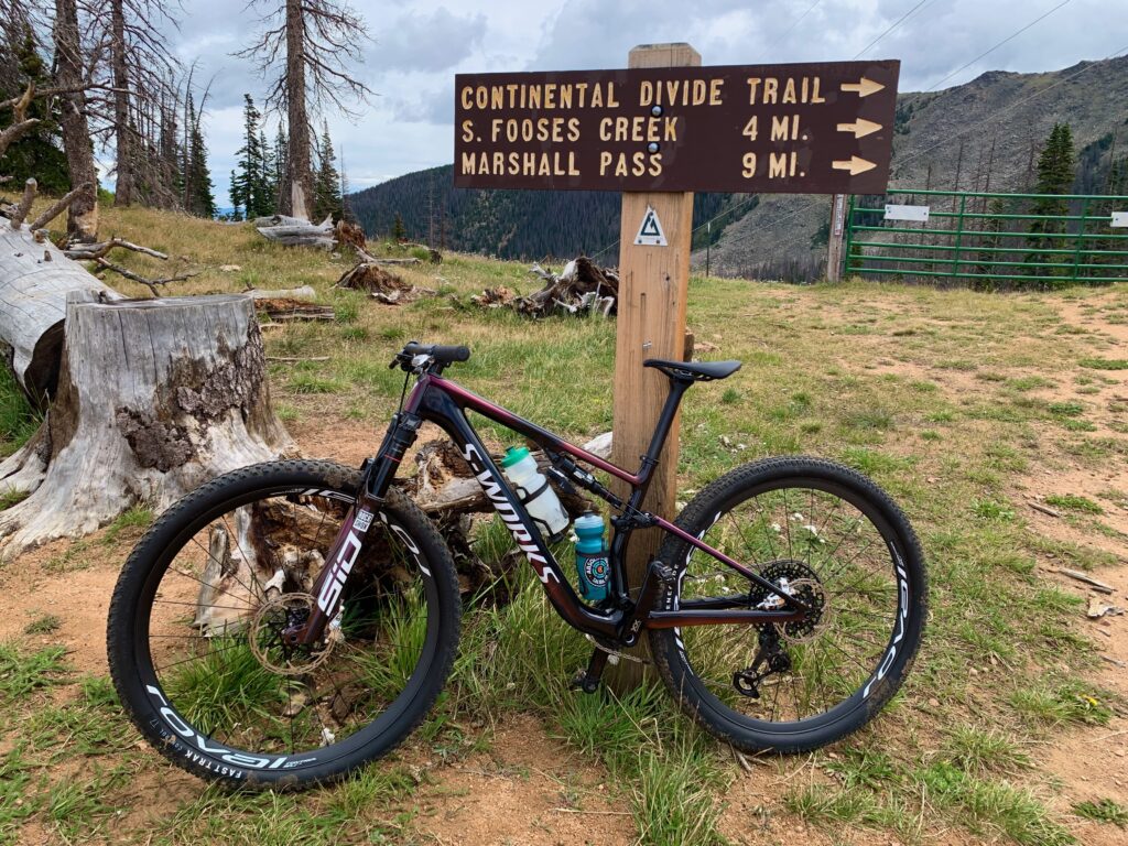
On the Monarch Crest at the top of North Fooses Creek.
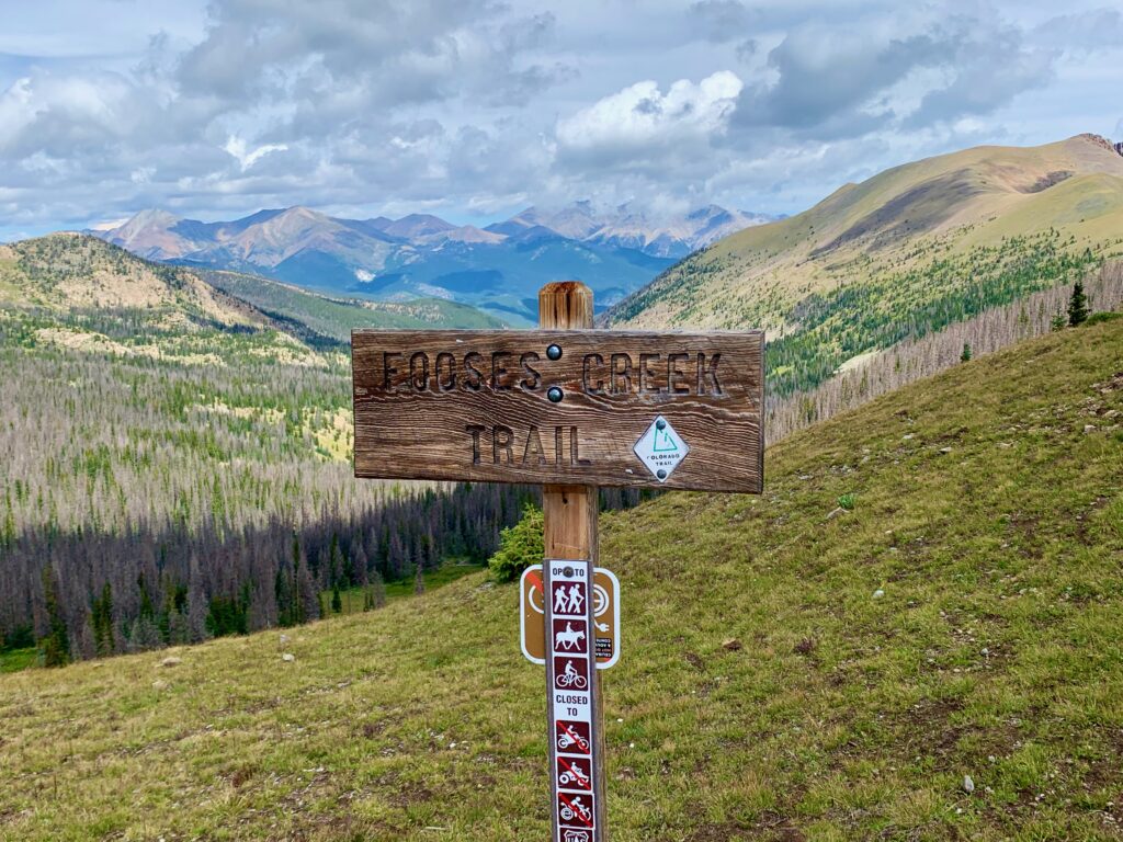
Sign at the top of South Fooses Creek.
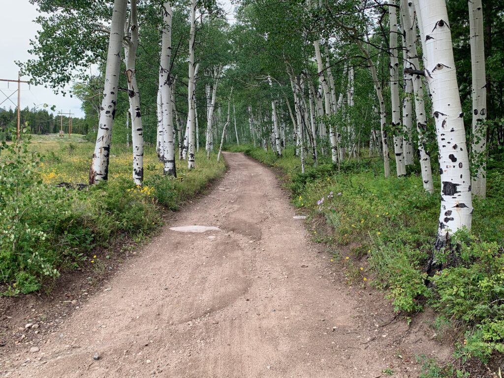
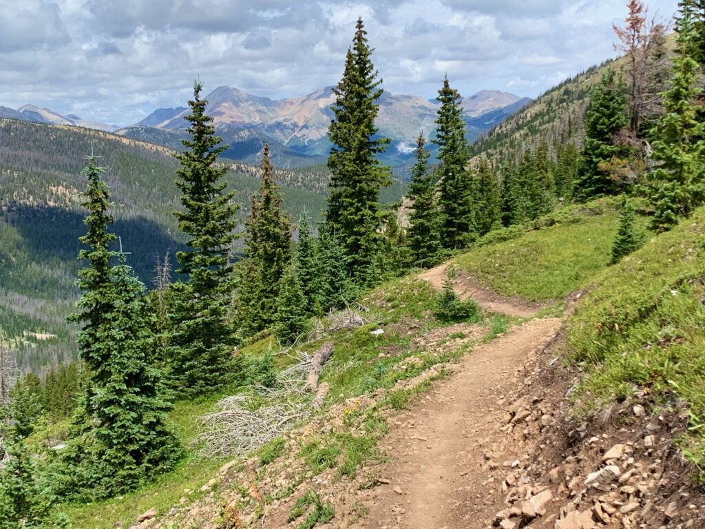
Beautiful, flowy new trail!
South Fooses Creek near the bottom.
And here’s the video. A little riding, a little hiking, lots of scenery.