To date, I haven’t done a video of the Monarch Crest. There are couple of reasons for that.
For one, I didn’t have a GoPro for the first few years we lived here. I have posted stories and pictures of some of the Crest rides I’ve done and I did a video of a different ride that includes part of it. But no video of the whole thing.
The thing is, the Monarch Crest is already well-documented. There are dozens of videos about it on the Internet. People with multiple cameras, drones, and way more production skill than I’ll ever posses have posted quality videos on YouTube and other sites. I didn’t feel like I had a lot to add to the conversation.
But having done the Crest many times, I frequently get questions about it from riders who are interested but aren’t sure what to expect. How difficult is it? How long is it? Can I bail out if I can’t make it all the way? So I started thinking, maybe there is room on the Internet for another Monarch Crest video. A guide for the those interested in trying the Crest for the first time or those who’ve done part of it and would like to try the whole thing.
So here, dear reader, at long last is that guide.
But first, a few words on the question of difficulty. From a technical standpoint, there is nothing on the Crest beyond what you would see on a typical intermediate trail. It’s not a beginner’s ride, for sure, but there are also no huge features, dangerous exposure, or crazy steepness that would push it into expert category. What makes the Crest difficult is the climbing. Most people have heard about the descending, nearly 6,000 feet of it, but there is also over 2,800 feet of climbing, all of it at high altitude, most of it at the beginning above 10,000 feet. So if you’re not acclimated to that sort of thing the Crest can be daunting.
The second thing is the length. Yes, there are multiple bail out options if you get tired but if you’re seeking the full Monarch Crest experience, you’re looking at a minimum of 30 miles of riding, mostly on singletrack. For good riders that translates into four hours in the saddle. The typical intermediate rider will be looking at five to six hours. And keep in mind, for much of the ride you’re in the backcountry, miles from civilization. Adequate nutrition, water, tools, and rain gear are essential. This is not your local town loop.
But that’s what makes the Monarch Crest great. The Crest is the all-you-can-eat buffet of bike rides. It has a little bit of everything. To make it digestible, I’ve divided it into five segments with brief descriptions below and elevation profiles in the video to give you an idea of what to expect.
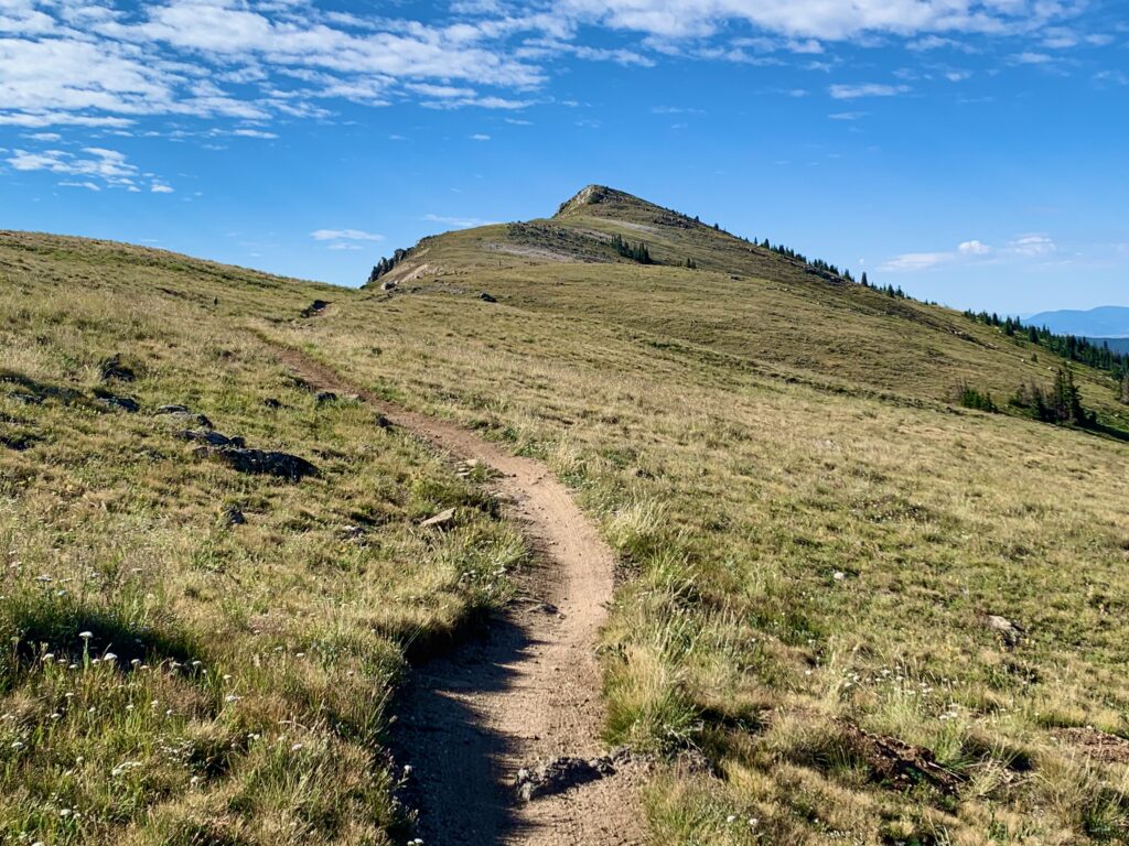
Segment 1 – Monarch Pass to South Fooses Creek
- Length: 5 miles
- Minimum elevation: 11,298 ft.
- Maximum elevation: 11,997 ft.
- Total ascent: 790 ft.
- Total descent: 200 ft.
- Trail type: 4WD road and singletrack, turning to all singletrack
- Environment: Timberline pine forest and high-alpine tundra
- Highlights: The main attraction of the Crest ride. A long, gradual climb followed by a flowing singletrack traverse above timberline with endless views in all directions.
Segment 2 – South Fooses Creek to Marshall Pass
- Length: 5.6 miles
- Maximum elevation: 11,947 ft.
- Minimum elevation: 10,842 ft.
- Total ascent: 408 ft.
- Total descent: 1,446 ft.
- Trail Type: Singletrack turning to 4WD road
- Environment: Timberline pine forest and open meadows turning to thick pine forest
- Highlights: A rocky, mostly downhill section to Greens Creek followed by a rooty, rocky climb to a high meadow, ending with a blazing fast 4WD road descent to the top of Marshall Pass.
Segment 3 – Marshall Pass to the Silver Creek Trail
- Length: 3.8 miles
- Minimum elevation: 10,845 ft.
- Maximum elevation: 11,310 ft.
- Total ascent: 739 ft.
- Total descent: 346 ft.
- Trail type: Mix of singletrack and 4WD road
- Environment: Pine forest
- Highlights: Gradual to fairly steep climbs mixed with short downhill sections, ending with a fast 4WD road descent just before the Silver Creek Trail.
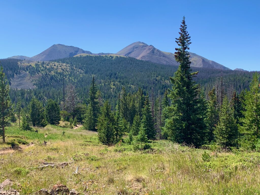
Segment 4 – Silver Creek Trail
- Length: 4.8 miles
- Maximum elevation: 11,242 ft.
- Minimum elevation: 9,451 ft.
- Total ascent: 0 ft.
- Total descent: 1,777 ft.
- Trail type: Singletrack
- Environment: Open meadows transitioning to aspen and pine forest
- Highlights: The longest sustained downhill of the ride. Some sections are steep. Expect active springs that create muddy sections year-round. Stunningly beautiful in September when the aspens are turning.
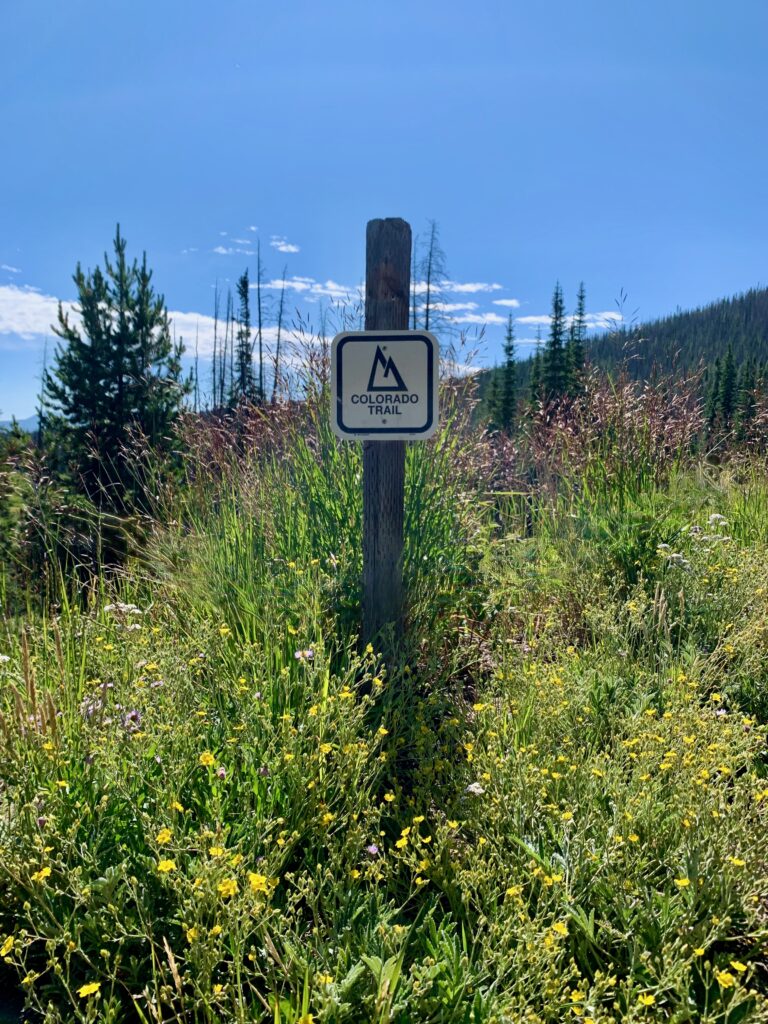
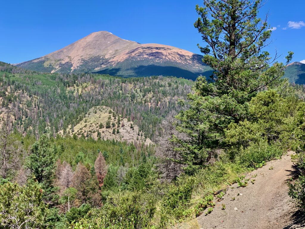
Segment 5 – Rainbow Trail
- Length: 11 miles
- Maximum elevation: 9,488 ft
- Minimum elevation: 8,485 ft.
- Total ascent: 929 ft.
- Total descent: 1,895 ft.
- Trail type: Singletrack
- Environment: Mix of pine forest and open meadows.
- Highlights: Longest segment of the ride. Fast, flowy downhill singletrack mixed with many steep, punchy climbs. Multiple creek crossings. Some rocky and chunky eroded sections near the end. Watch for motorcycles.
Monarch Crest – Totals
- Length: 30.2 miles
- Maximum elevation: 11,997 ft.
- Minimum elevation: 8,485 ft.
- Total ascent: 2,866 ft.
- Total descent: 5,664 ft