You may have noticed It’s been a while since I’ve spewed forth any kind of hiking post on this here cavalcade of outdoor adventure.
To the hiking fans out there, I apologize. Due to extenuating circumstances, our four-wheel drive vehicle has been out of commission for most of the summer, rendering us unable to venture too far from pavement. Plus, with a new GoPro and a new bike, riding posts were bound to happen anyway. I have very little control over these things.
Anyway, with circumstances un-extenuating themselves and life getting back to some semblance of normal, I have gotten back up in the mountains for some foot-powered adventures. So, let’s get into it.
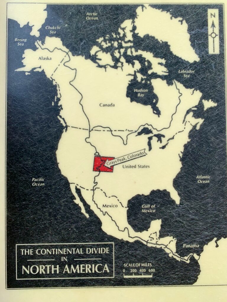
Starting with some fun facts about the mountains. Did you know the highest points on the Continental Divide are Grays Peak and Torreys Peak in the Front Range? Strange but true. There are higher mountains in Colorado but there are no other fourteeners on the Continental Divide. That’s because the Continental Divide isn’t about altitude as you might think, it’s about the vagaries of drainage patterns and topography. For example, Mt. Elbert, the highest mountain in Colorado, at 14,438 feet, isn’t on the Continental Divide. Near Leadville, the Divide, which ranges from 12,000 – 13,000 feet, is actually several miles west of Elbert.
But Grays and Torreys are fourteeners that are actually on the Continental Divide. In fact, Grays (14,275 feet) and Torreys (14,272 feet) – 9th and 12th highest, respectively, in Colorado – are the two highest points on the entire Continental Divide from Canada to Mexico. So technically, if you’re hiking the Continental Divide Trail from Canada it’s all downhill once you get to Grays peak!
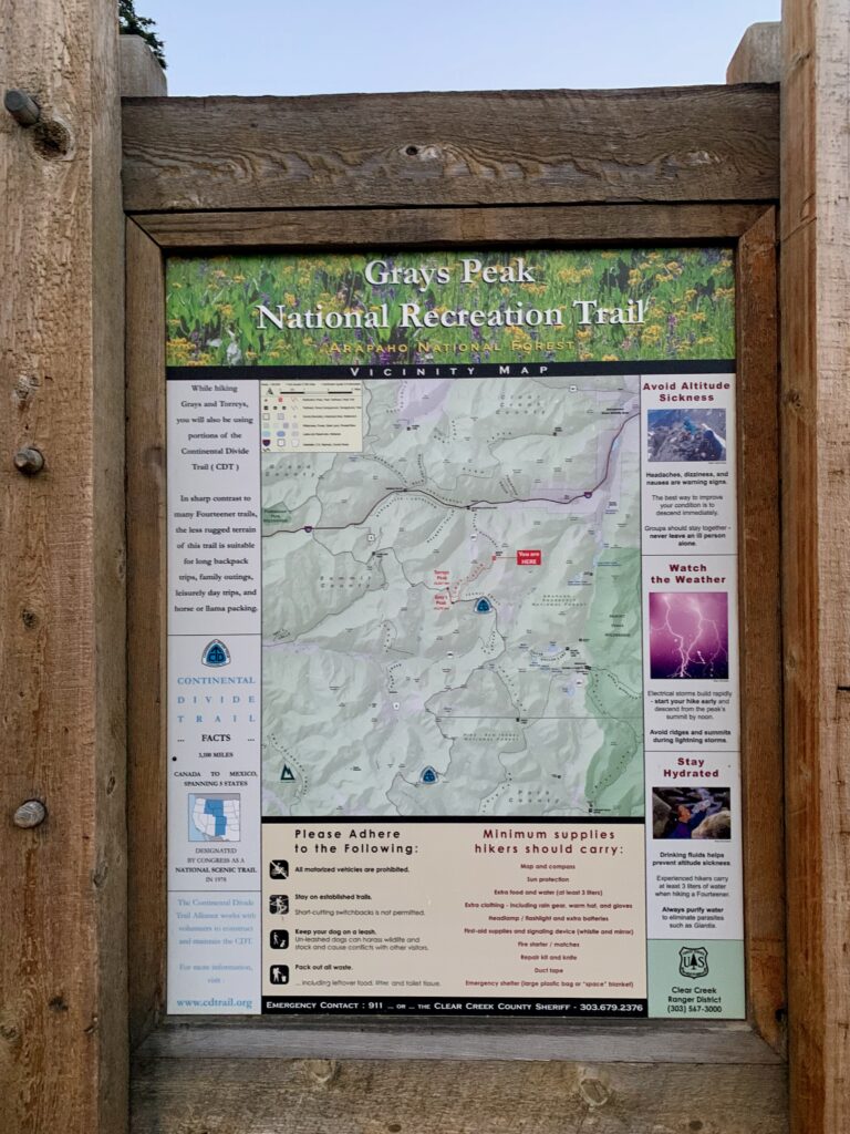
Grays and Torreys sit about 3.5 miles southeast of Loveland Pass. If you’re driving westbound on I-70, both peaks are visible south of the freeway just before you enter the Eisenhower Tunnel. They are also visible to the east if you’re skiing Breckenridge or Keystone. Given their proximity to Denver, their quick access from the interstate, and their status as relatively easy fourteeners, Grays and Torreys tend to be very popular mountains among day hikers.
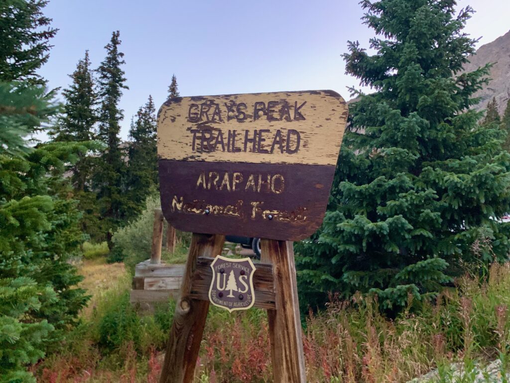
Which was evident when I arrived at the nearly full parking lot of about 40 cars at 6:00 a.m. on a Wednesday morning.
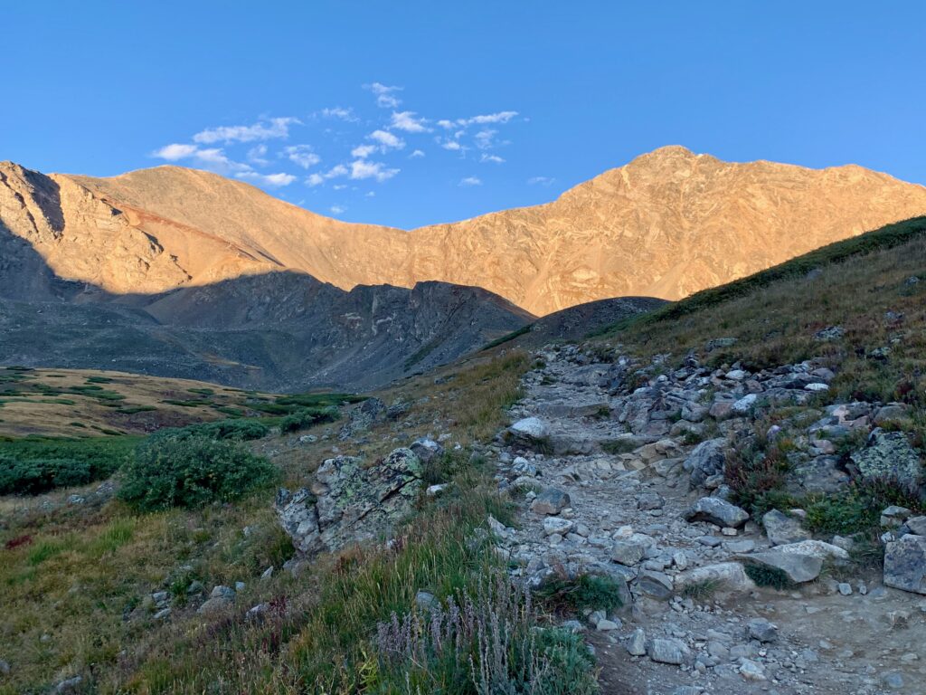
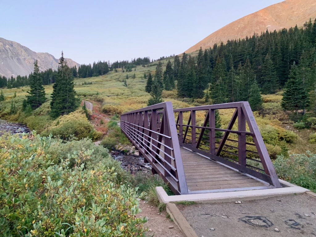
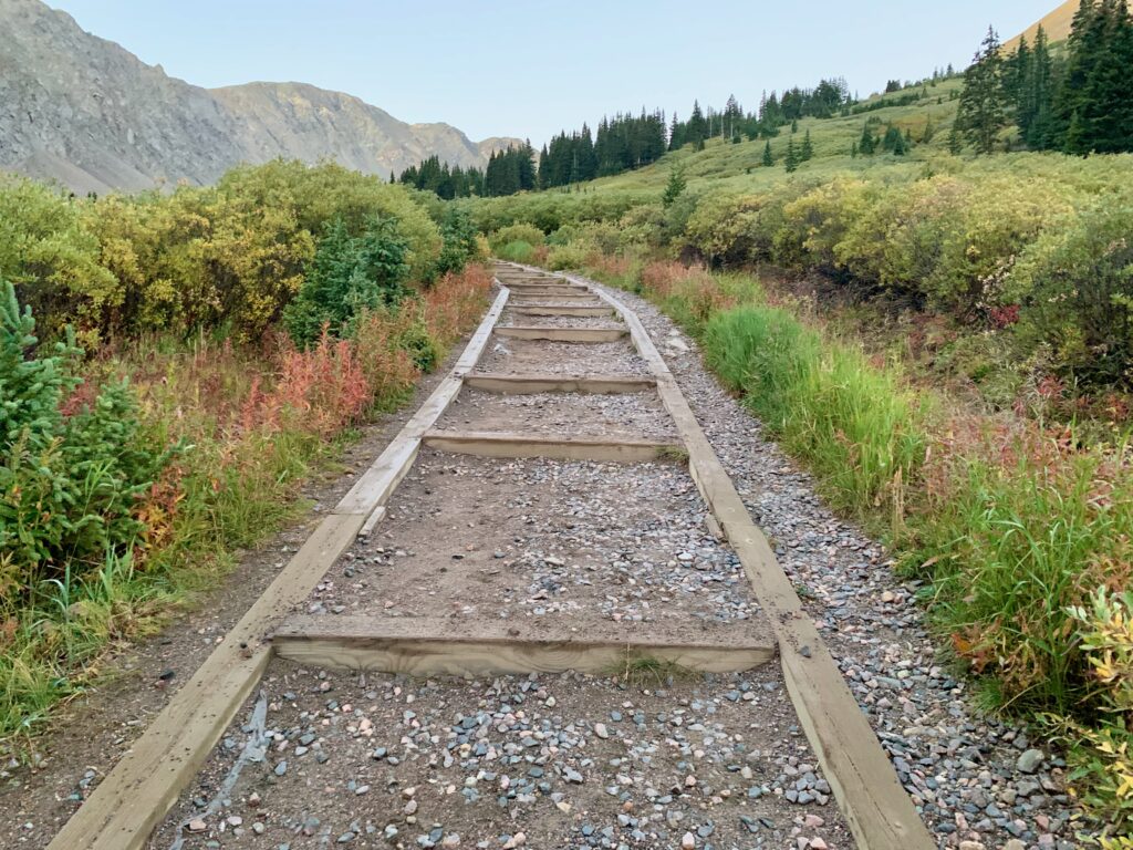
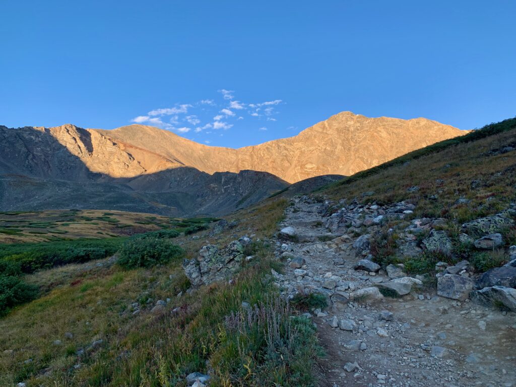
Impressive bridge at the start of trail. The trailhead is at 11,270 feet so it isn’t long before you break above timberline. There was a hint of fall colors in the willows along the trail.
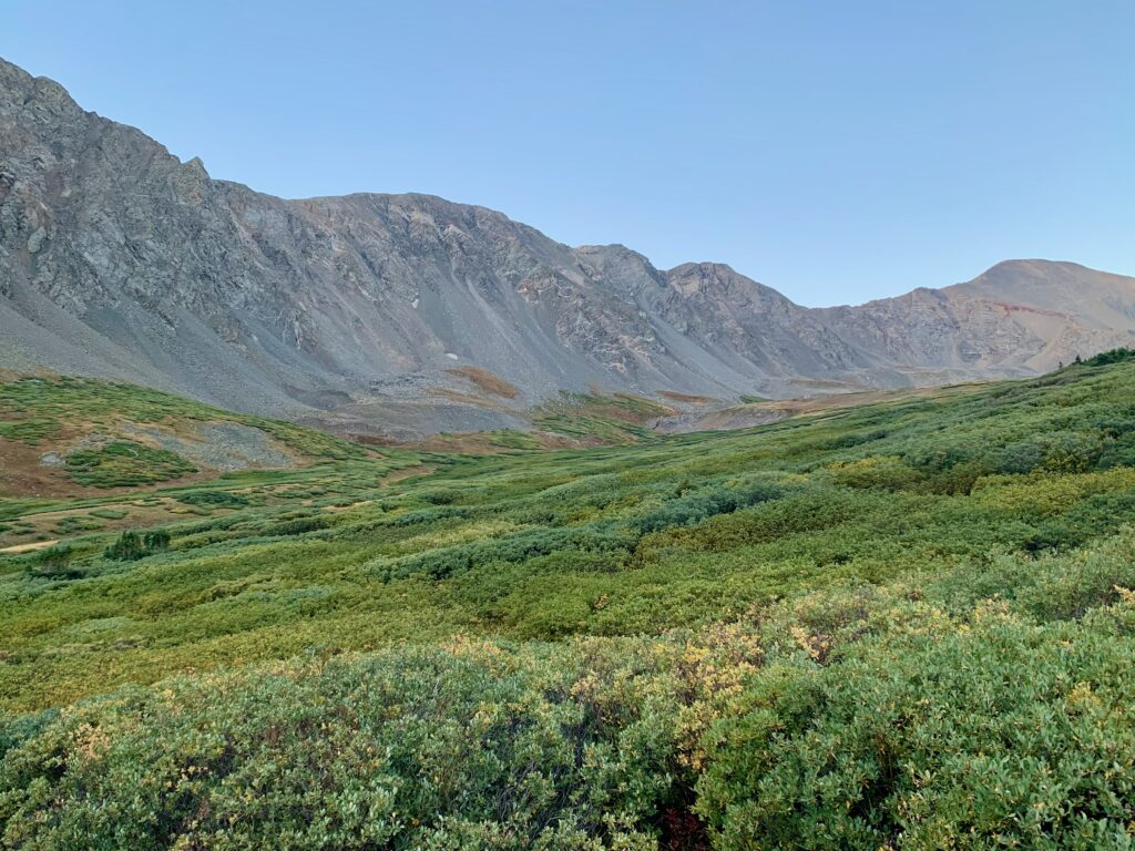
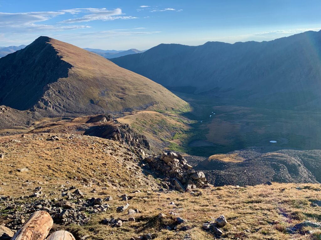
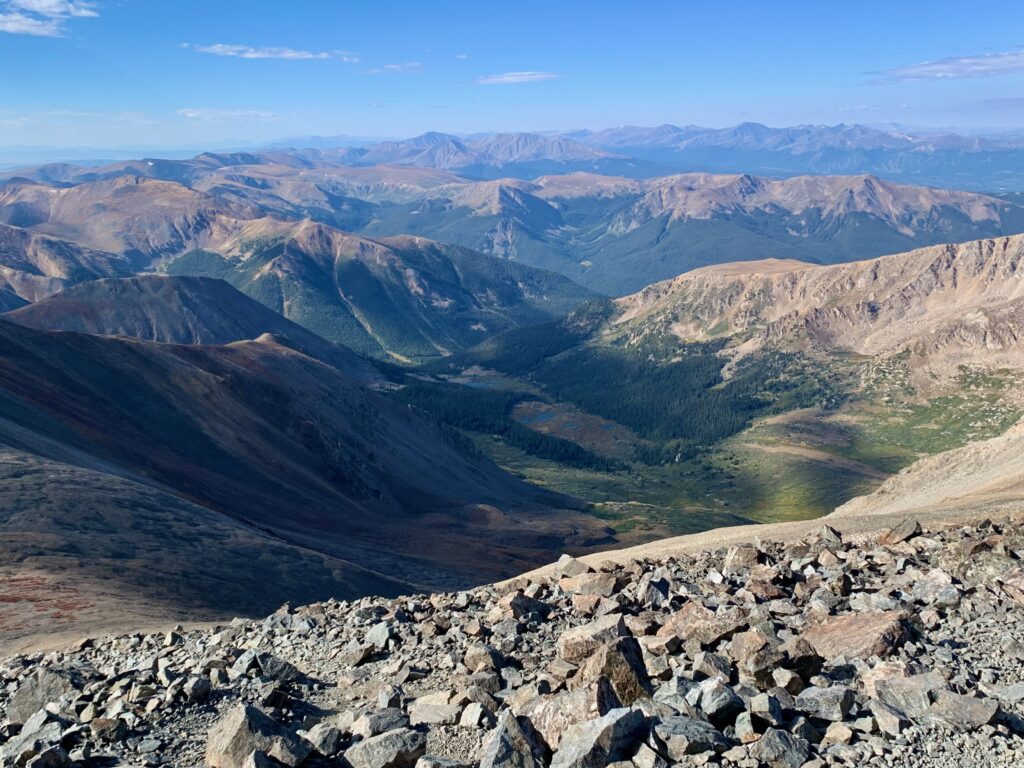
A little higher up, the beautiful willow-filled Stevens Gulch comes into full view.
With the morning sun shining on them like a spotlight, it’s pretty obvious where I’m going today.
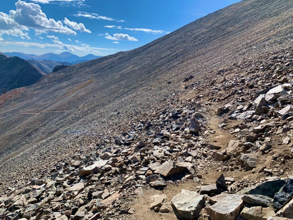
Skirting around an initial ridge to climb out of Stevens Gulch and onto the lower flanks of Grays Peak.
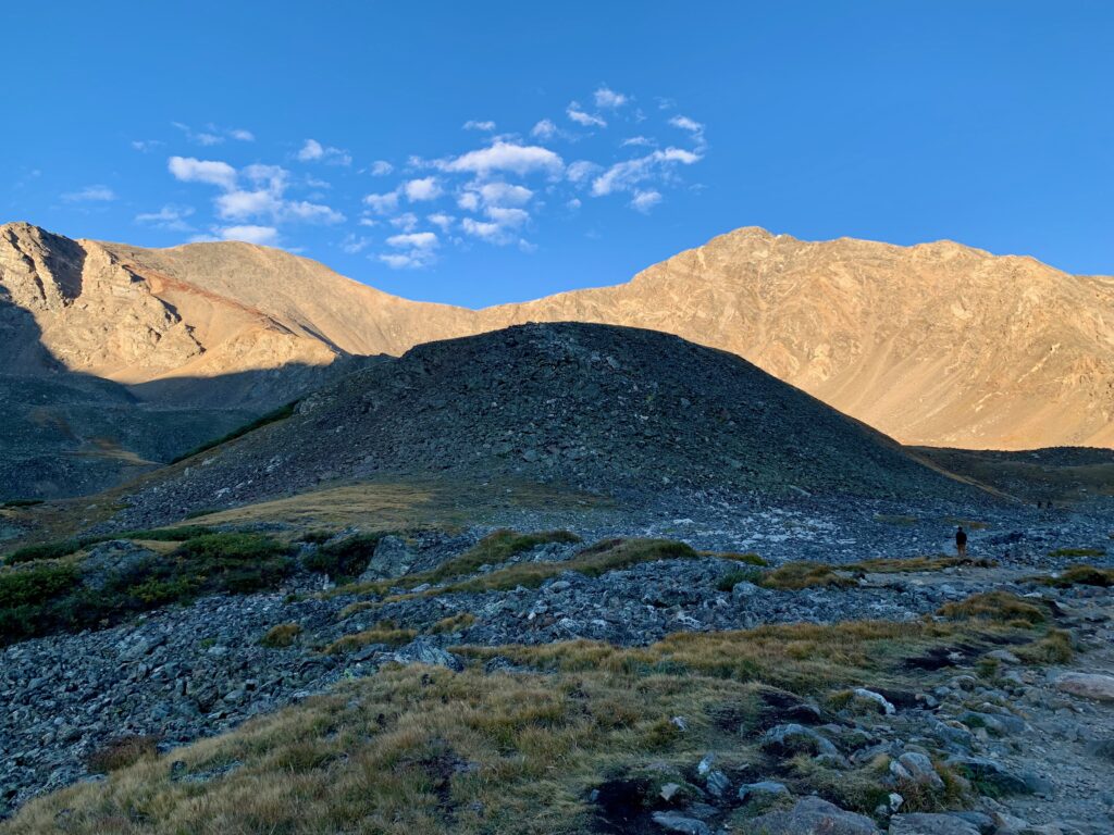
View back down Stevens Gulch from the top of the ridge. That’s Kelso Mountain on the left.
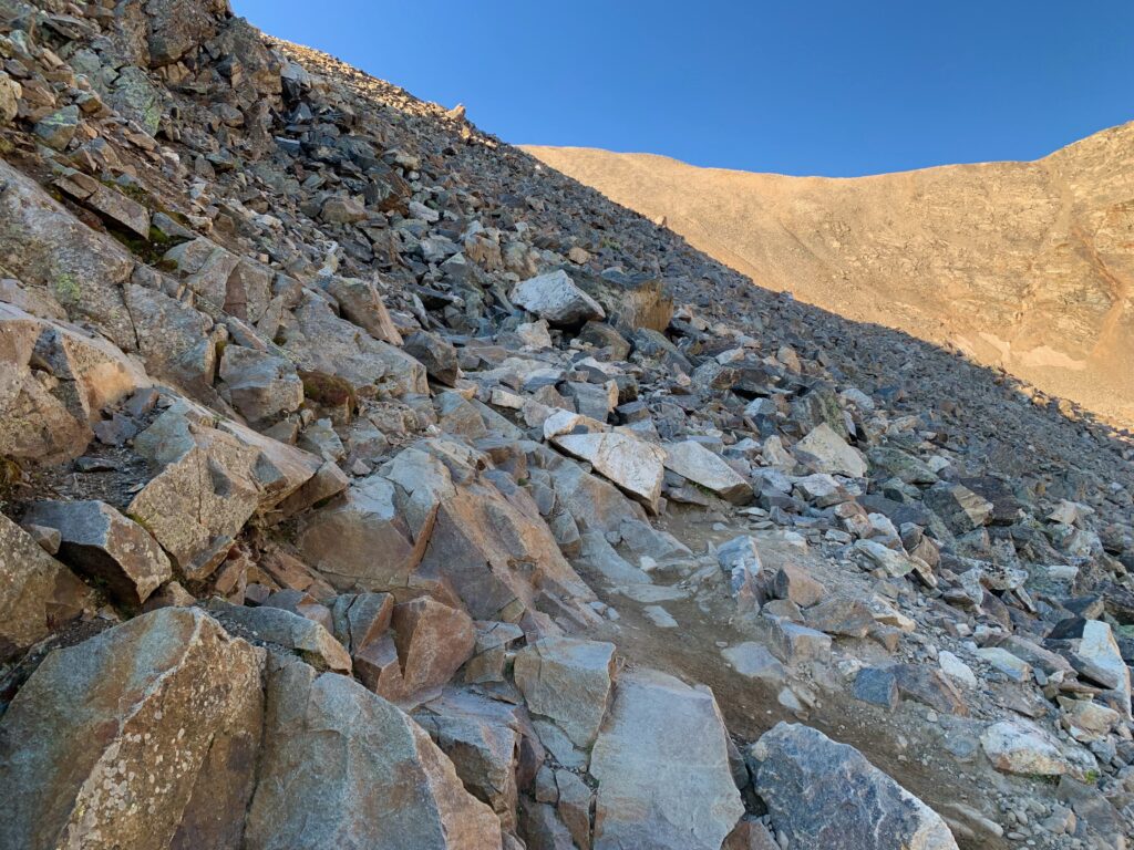
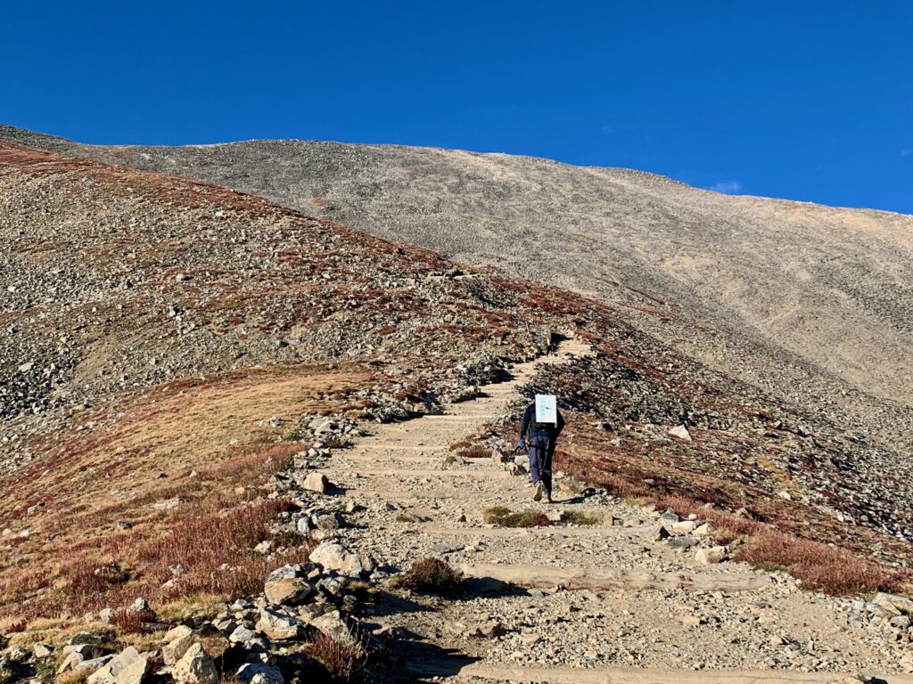
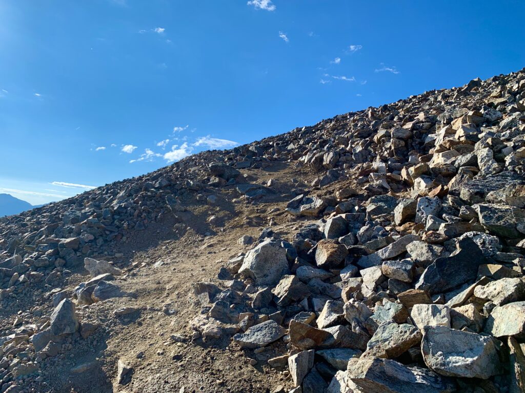
Starting the climb proper of Grays peak. It was a beautiful, sunny morning and there were dozens of other people climbing. This guy had his Torreys summit sign ready to go.
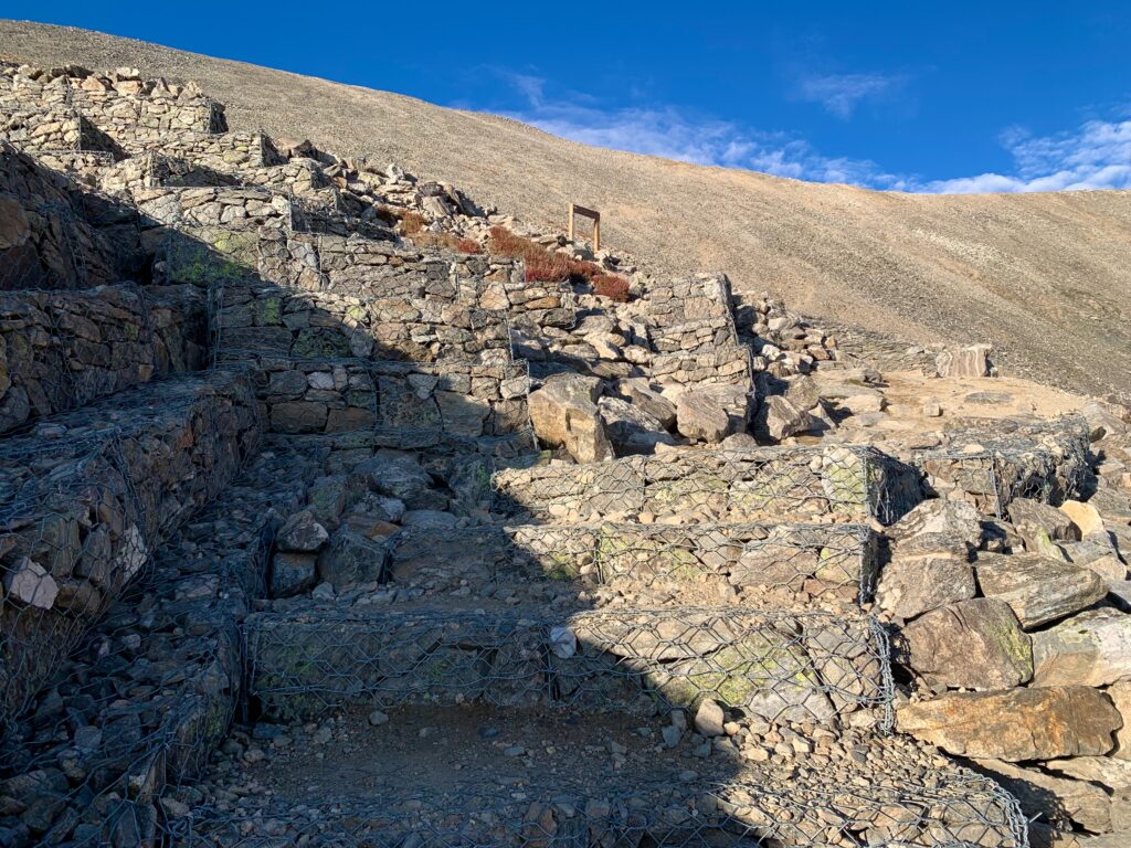
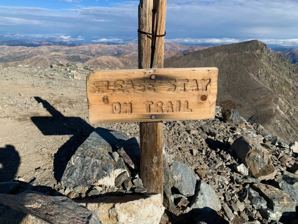
Solid, new stone steps courtesy of the Colorado Fourteeners Initiative.
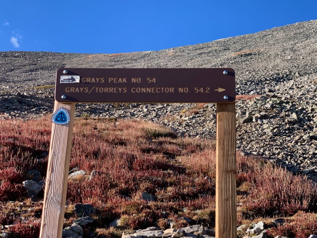
Intersection of the Grays Peak Trail and the Grays/Torreys connector. My plan was to summit Grays, traverse to Torreys and then return to this point via the connector trail.
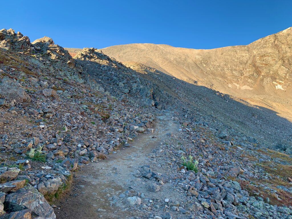
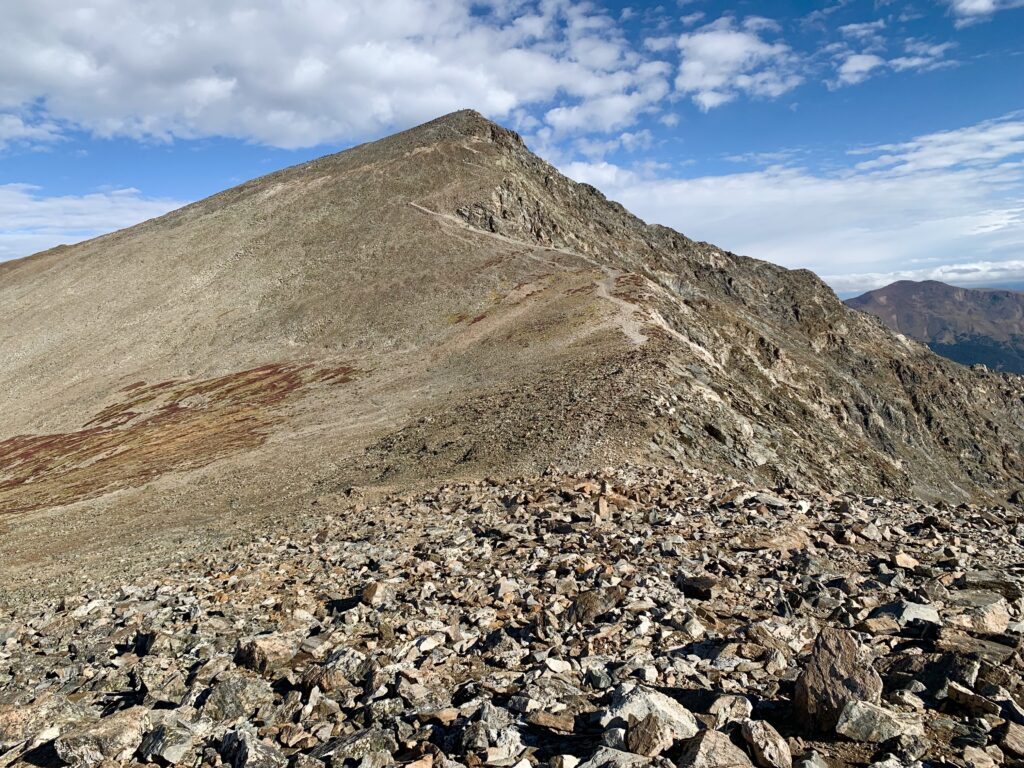
Large rock tower farther up on Grays.
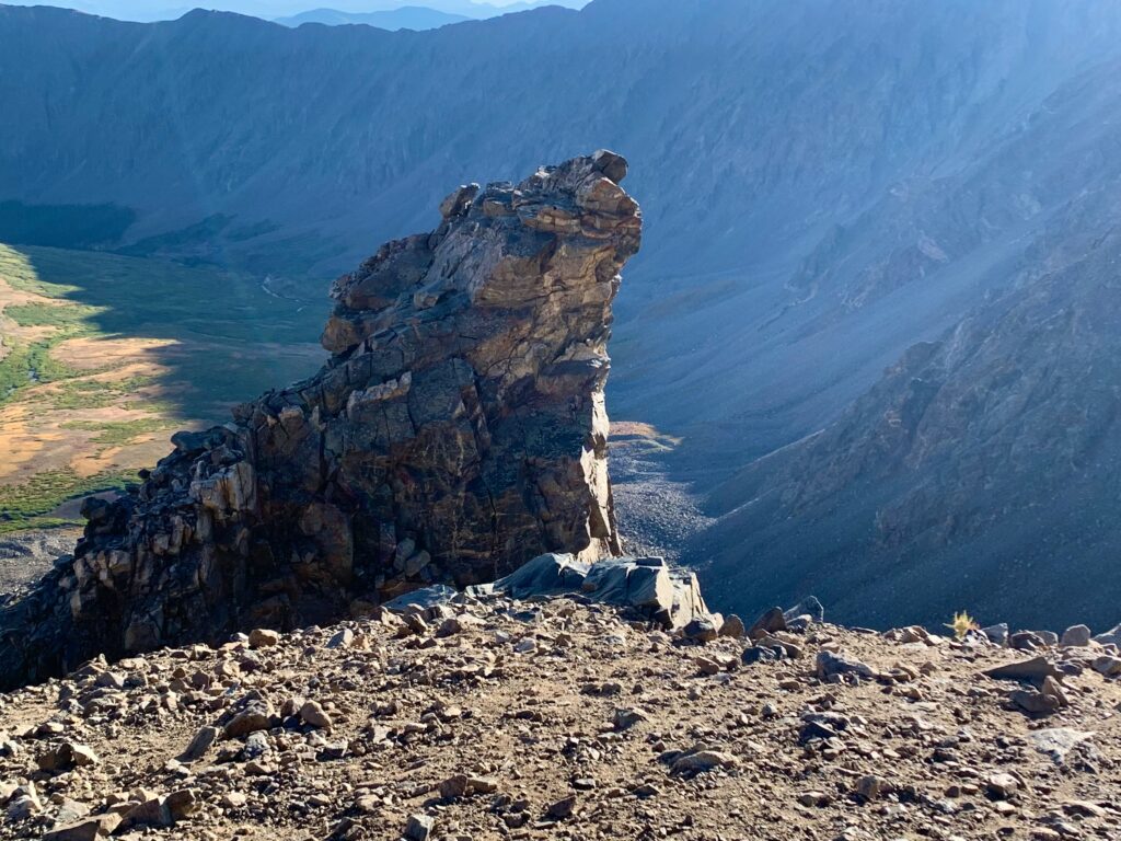
Start of the final few switchbacks above the rock tower.
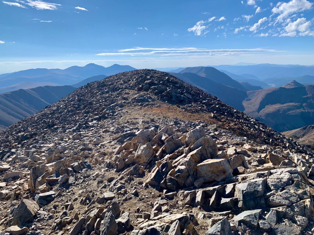
Summit of Grays looking south.
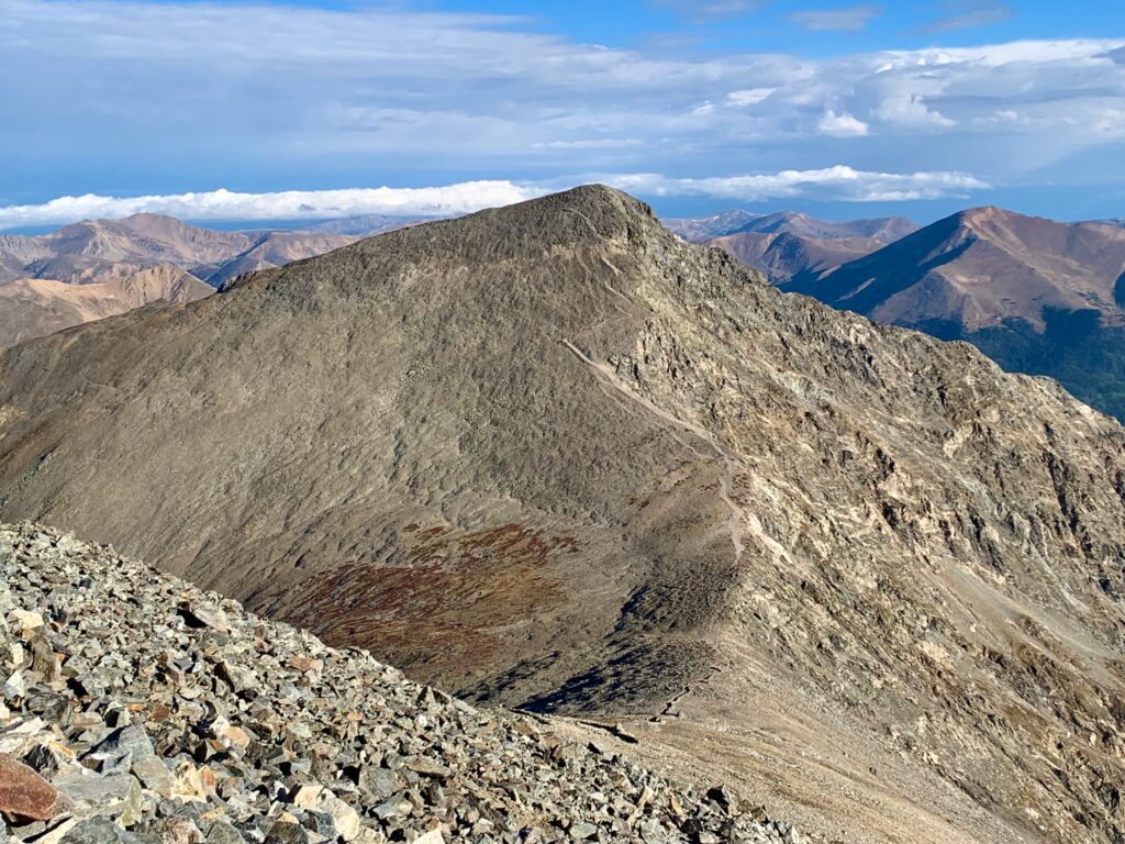
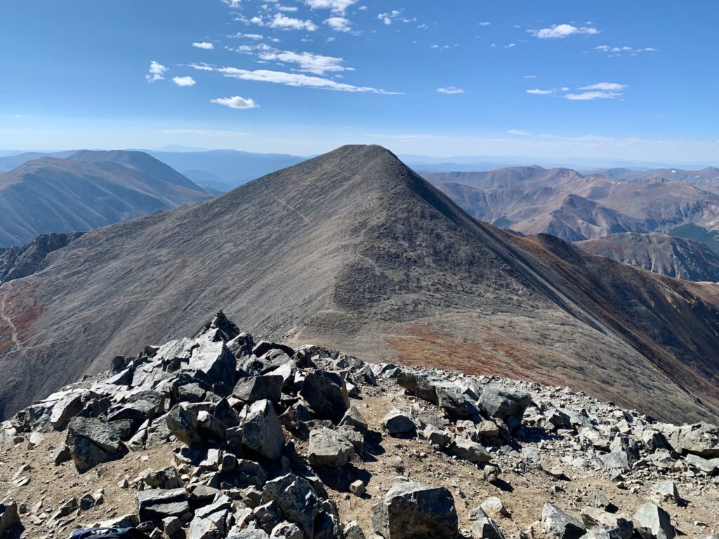
Torreys from the summit of Grays.
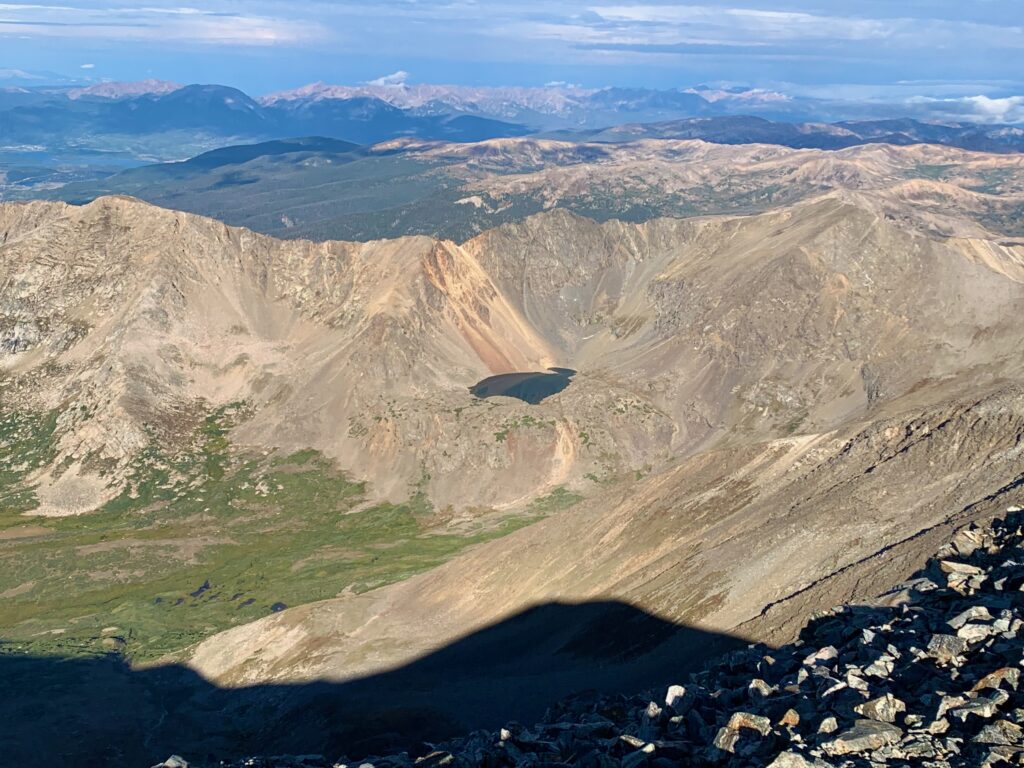
Chihuahua Lake in the basin west of Grays.
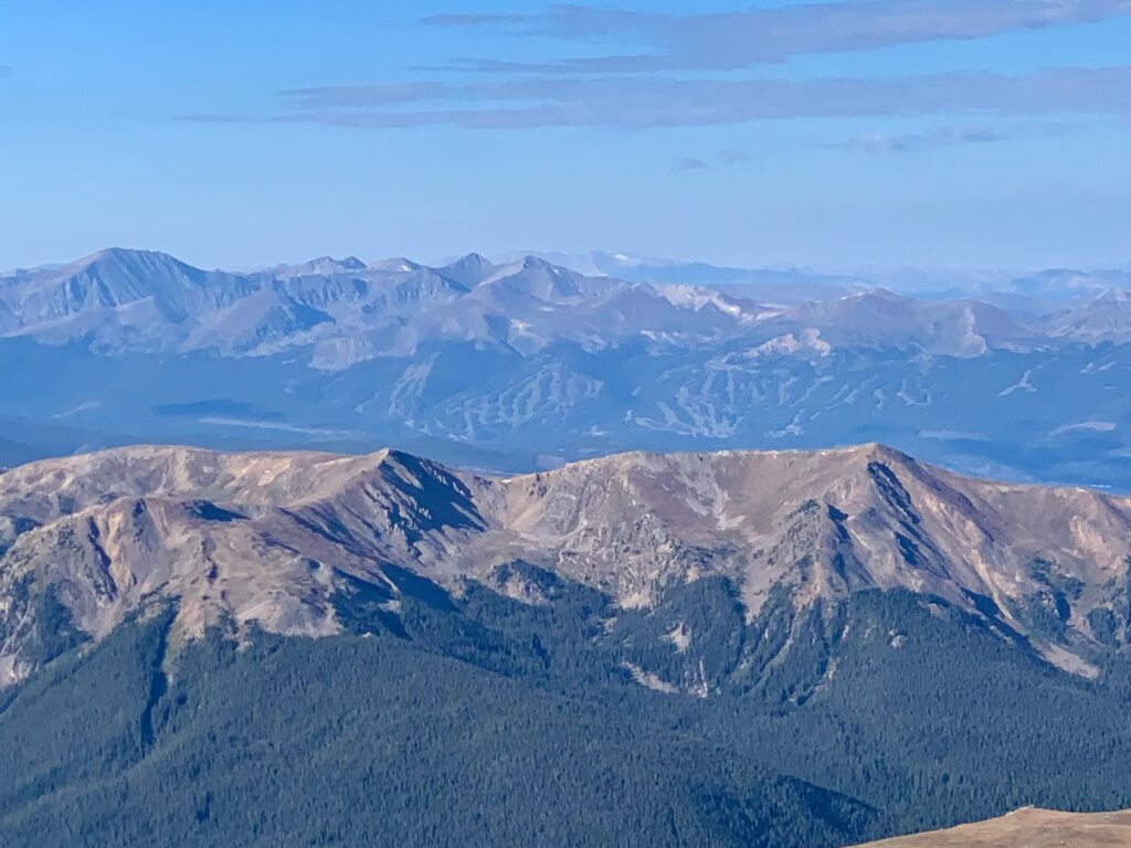
And look, there’s Breckenridge!
The sky was clear and calm on the summit of Grays but I could see clouds rolling in from the north behind Torreys. So after a brief chat with my fellow summiteers, I downed an energy gel and headed down Grays’ north ridge over to Torreys.
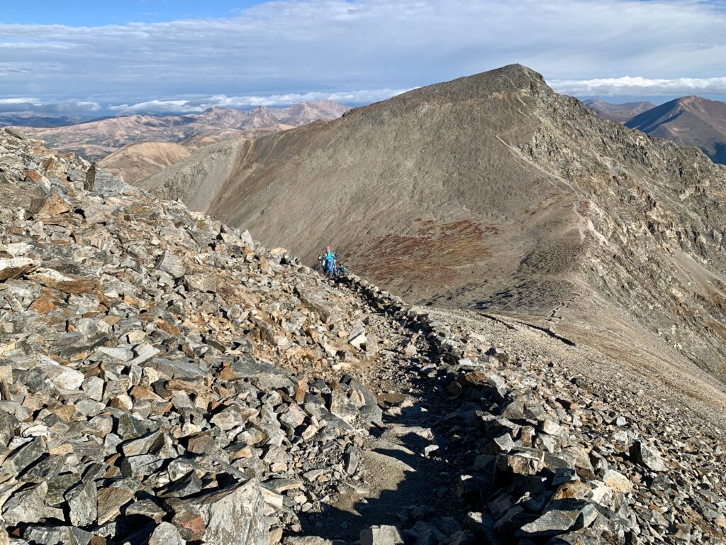
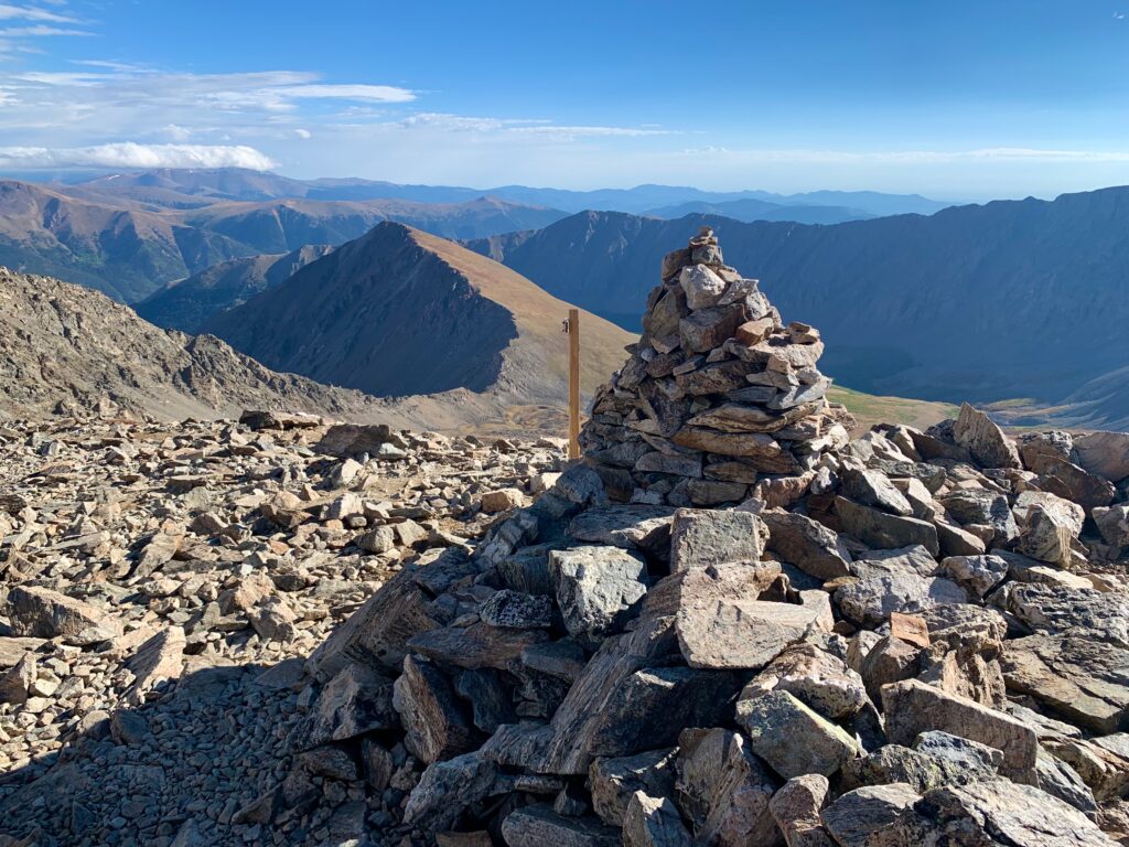
Down on the Grays/Torreys saddle, it was pretty easy to spot the large cairn and sign at the top of the Grays/Torreys connector trail.
On the saddle, looking down at the Grays trail I had just climbed and old snow patches on Grays north face.
Torreys, which looked rather inconsequential from the summit of Grays, is considerably more imposing from the saddle.
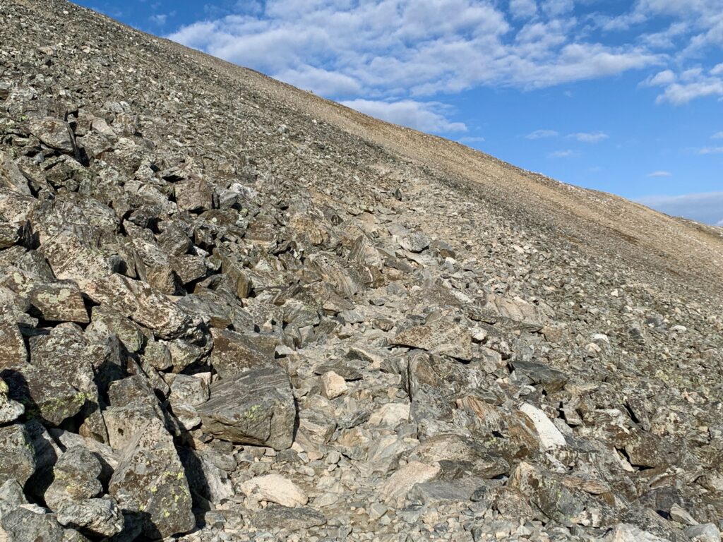
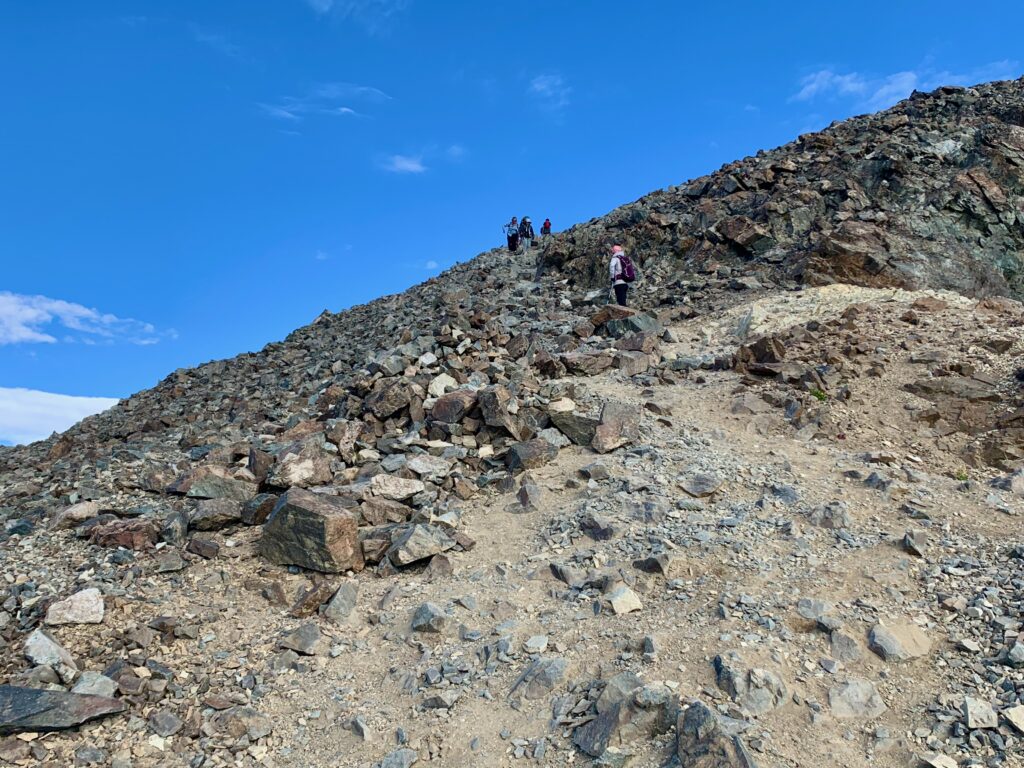
Heading up Torreys. With all the people on the mountain that day, there were a few traffic jams on the steep, rocky trail.
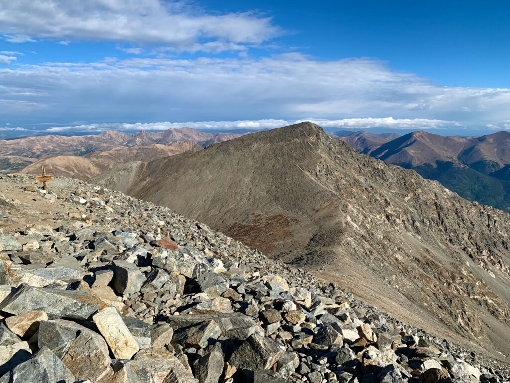
Summit of Torreys, looking back at Grays.
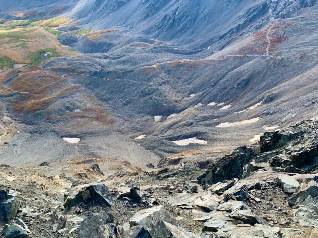
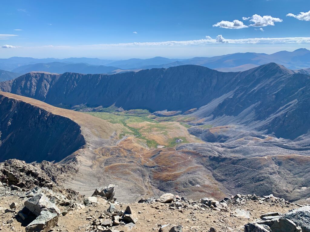
Stevens Gulch from the summit of Torreys.
Looking southwest down Chihuahua Gulch.
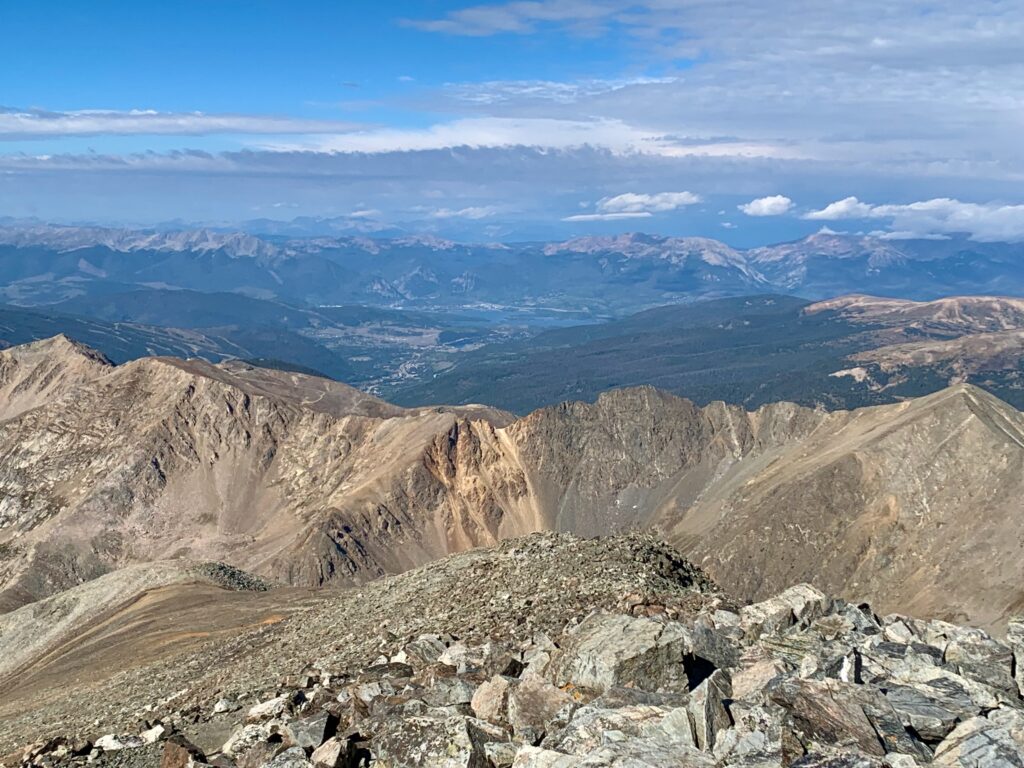
The view west. That’s Keystone on the left, Lake Dillon Reservoir and the towns of Dillon, Silverthorne and Frisco, center.
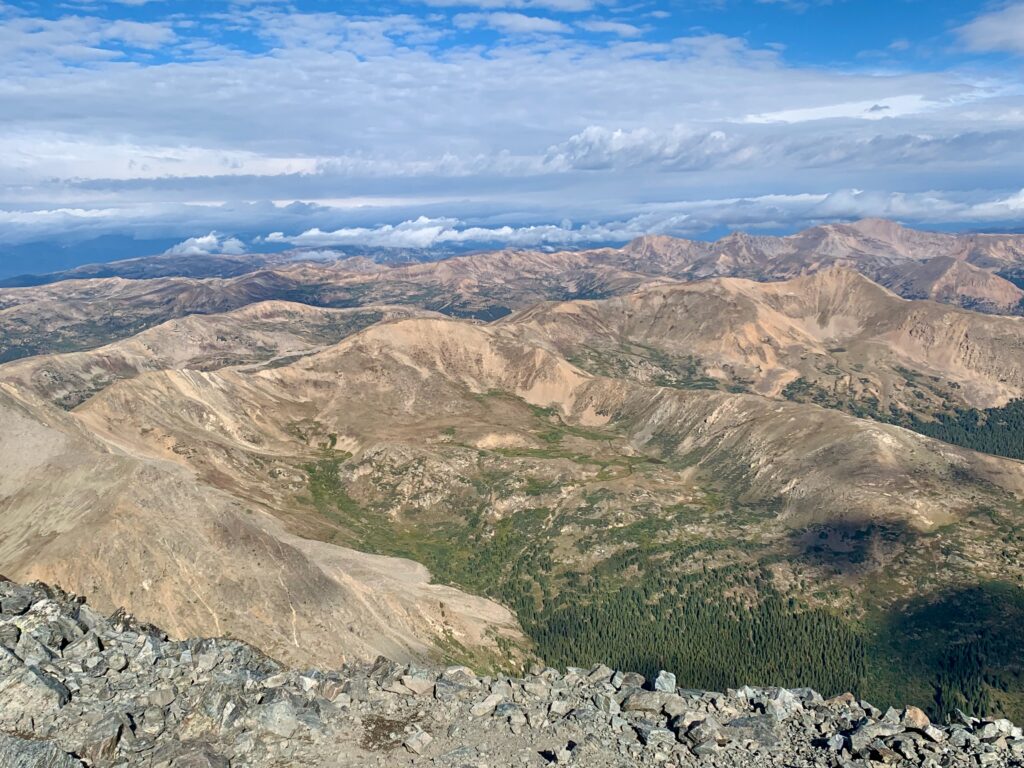
The view northwest.
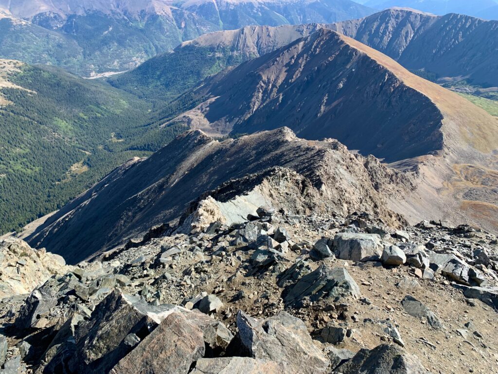
Looking down Torreys’ rugged Kelso Ridge. Just before I took this picture, some guy came strolling up this thing like it was no big deal.
After a nice lunch break and chat with several groups who had summited with me, the clouds building to the north made it clear it was time to get off this mountain.
Heading down the Grays/Torreys connector trail.
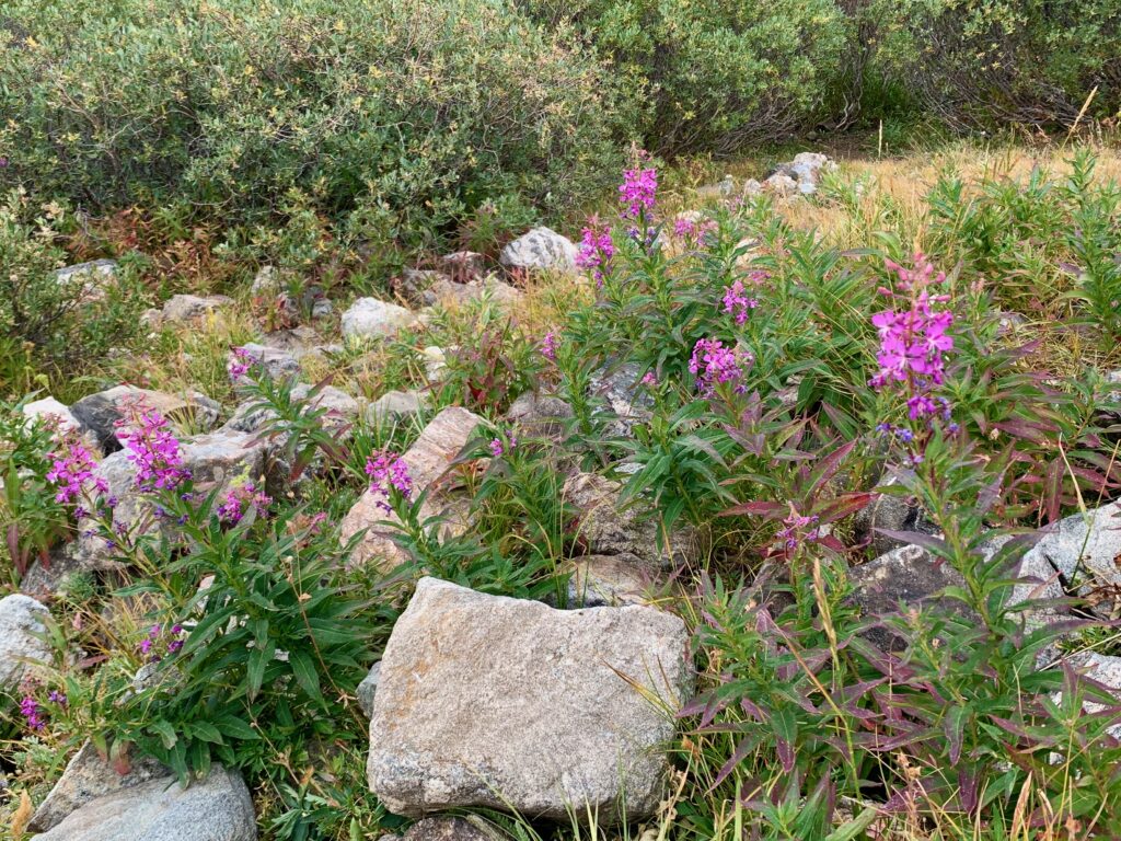
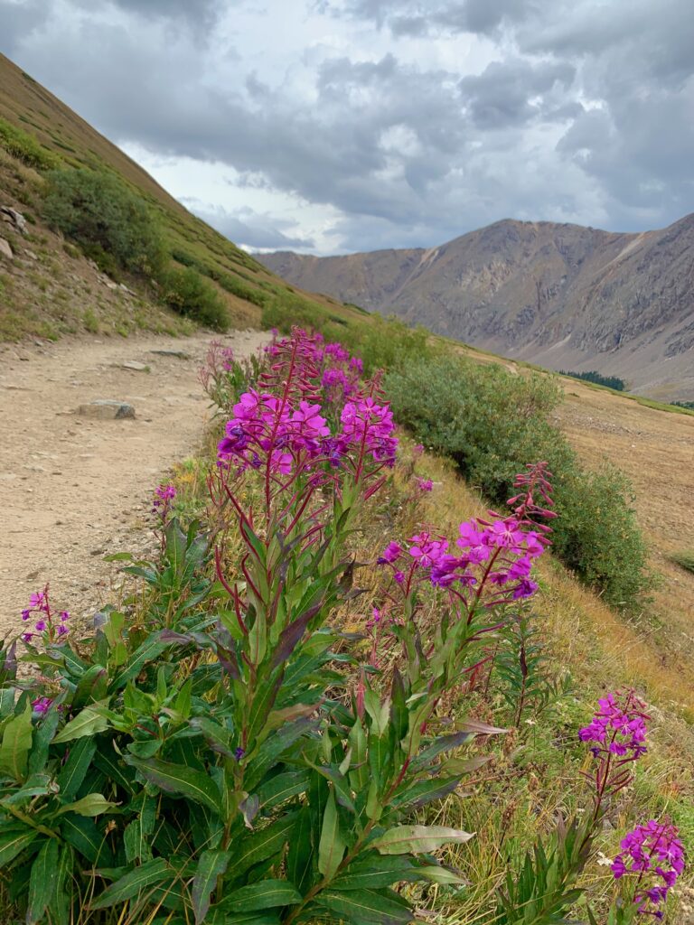
Back down to Stevens Gulch. It being September, there were very few wildflowers to be found but these purple guys were the exception. They were everywhere along the lower trail.
As much as I like riding, it was great to be hiking again. Nice to take in the mountains at a slower, more meditative pace. And great to be up high again. Nothing like the 360-degree views from the top of Colorado’s fourteeners.